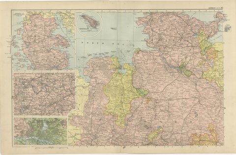
 The sheet, as you receive it
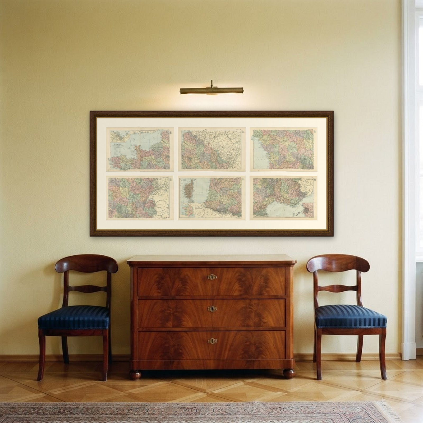 In the room
Interior designers: BarTrade members buy at their trade price. How it works
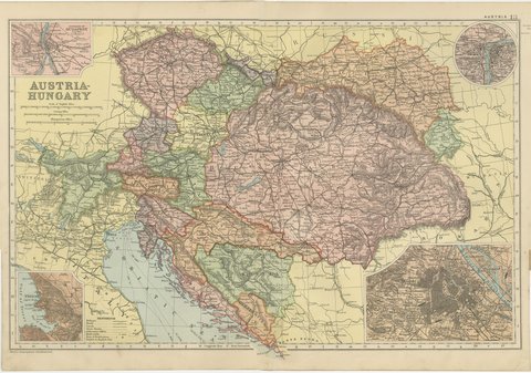
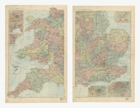
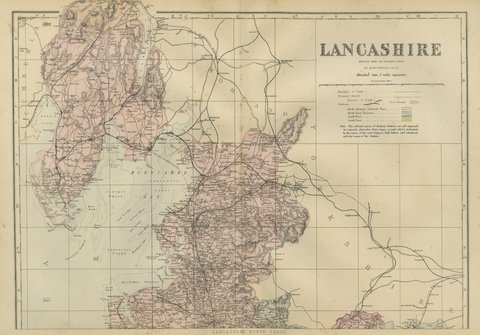
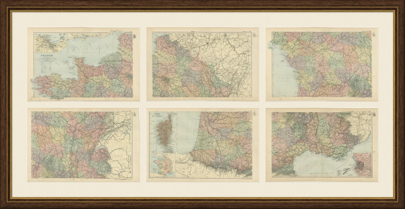
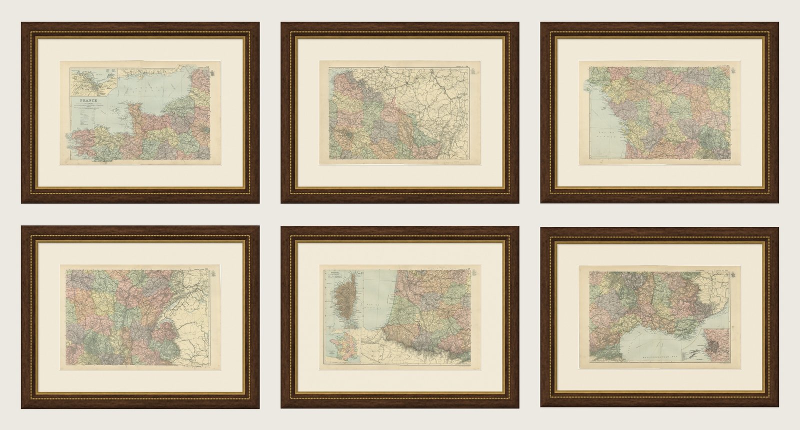
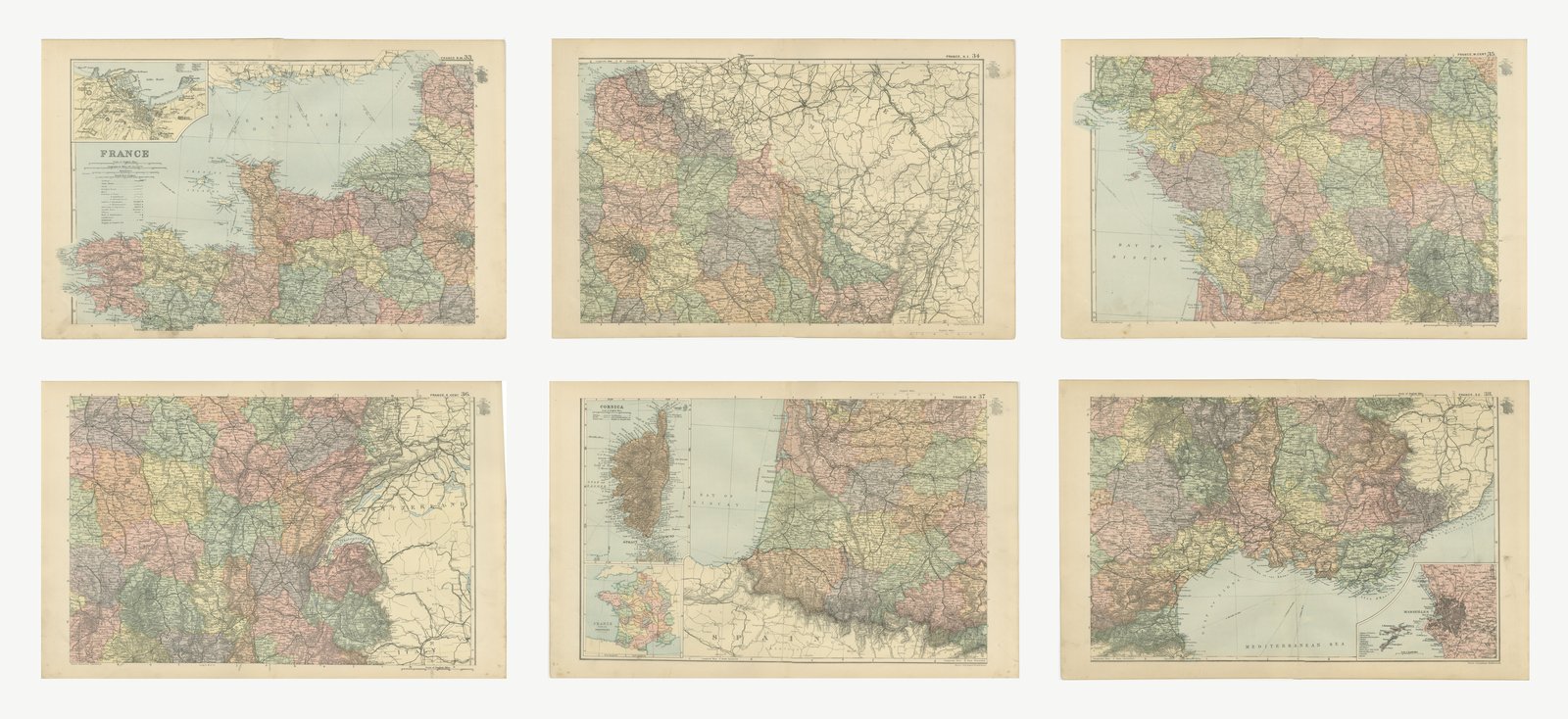
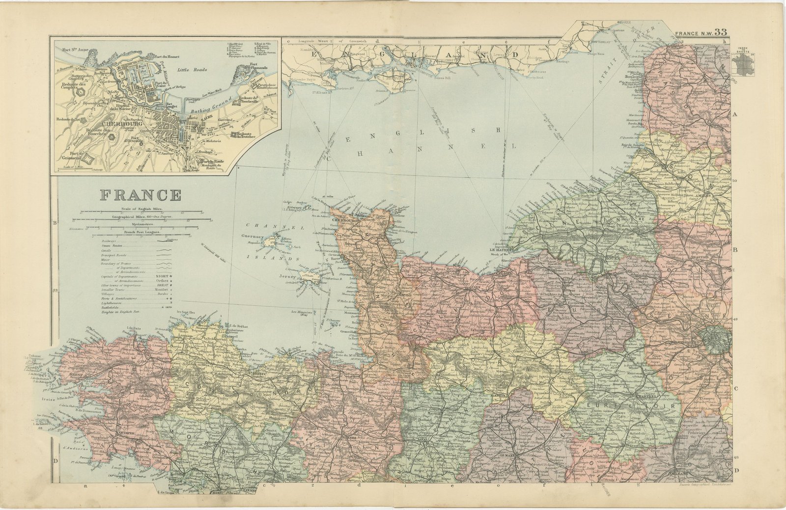
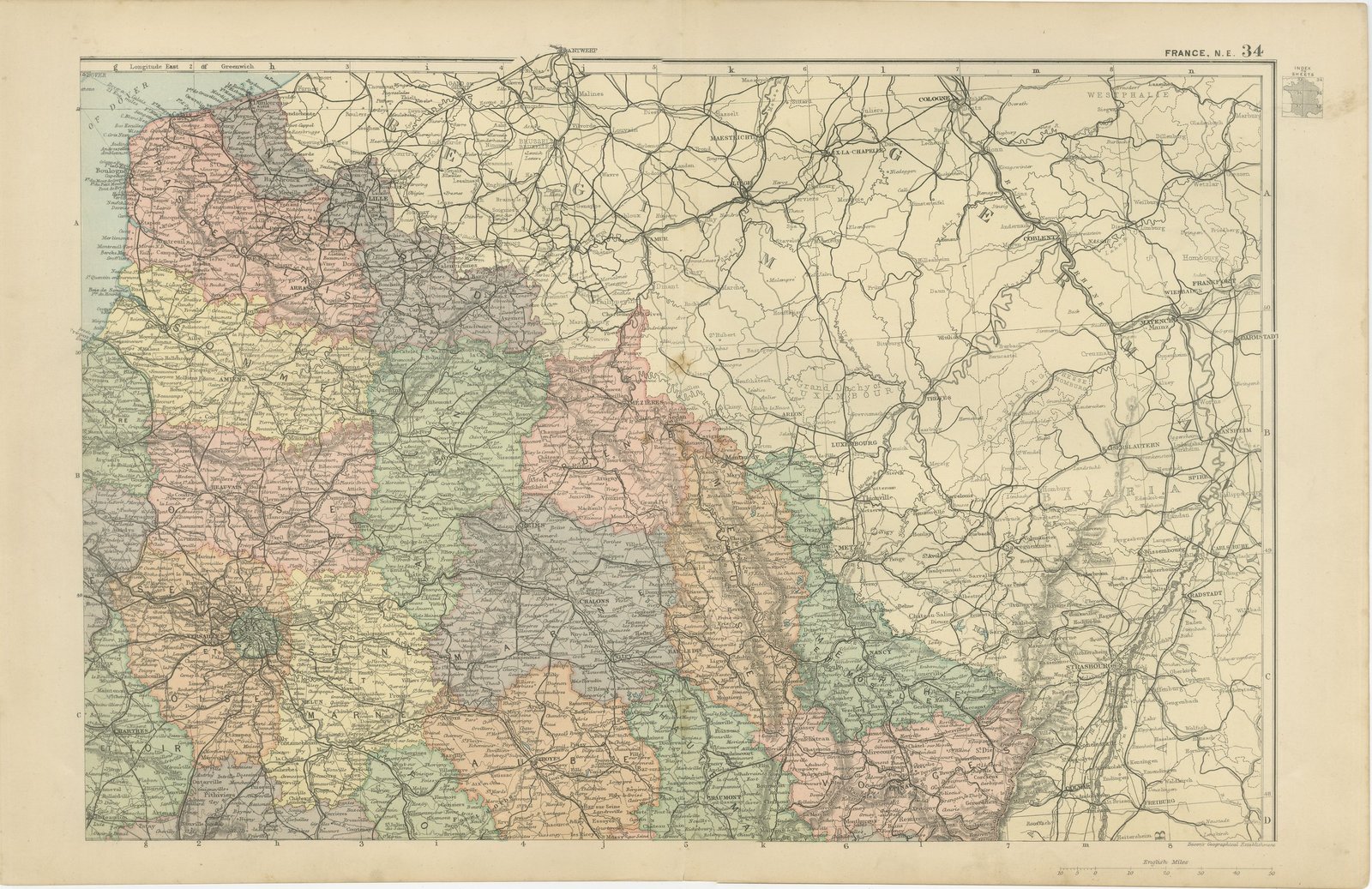
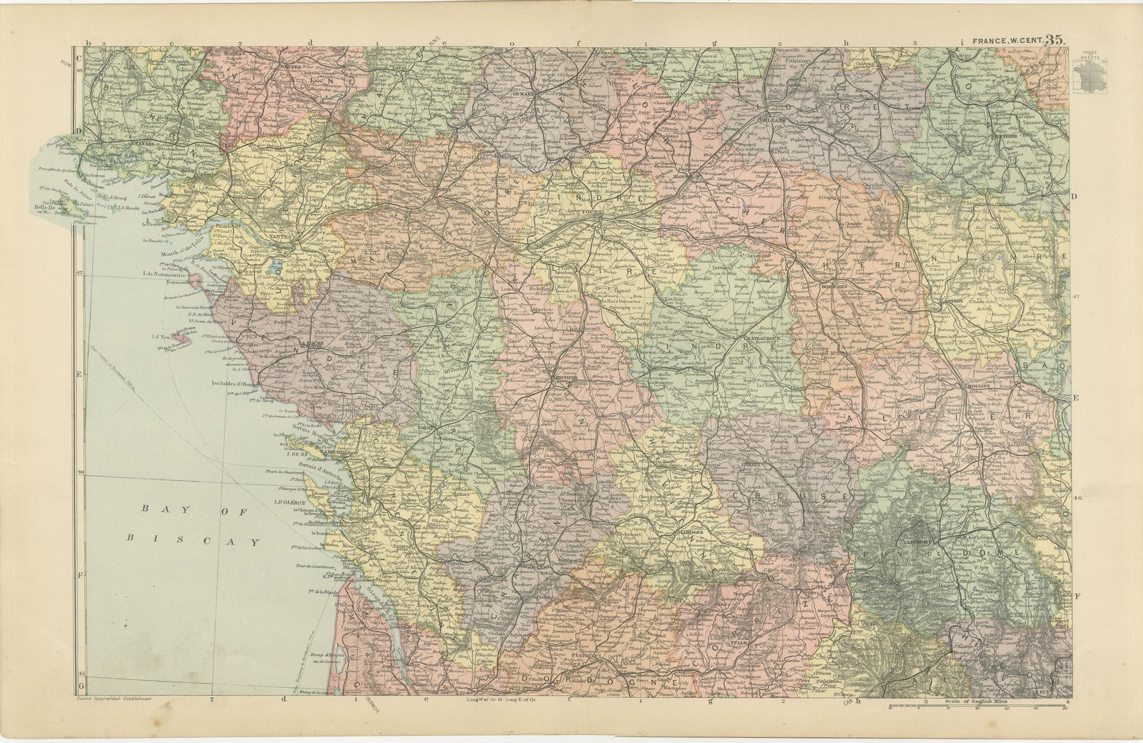
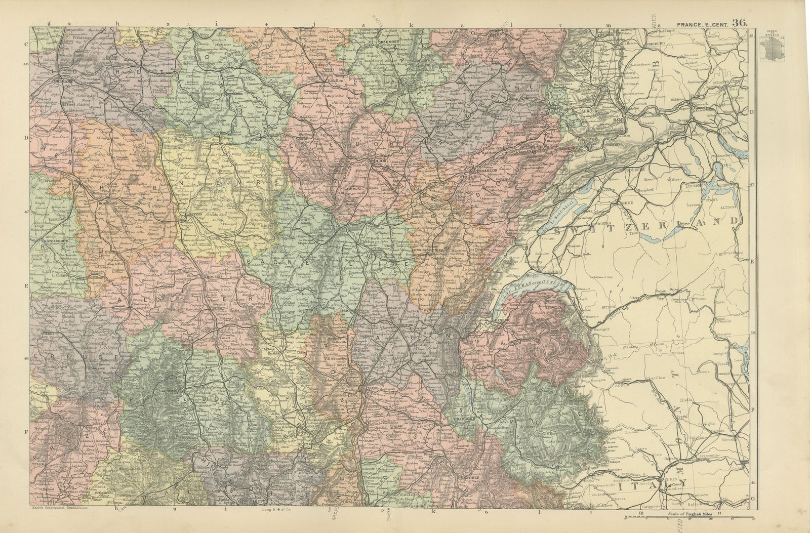
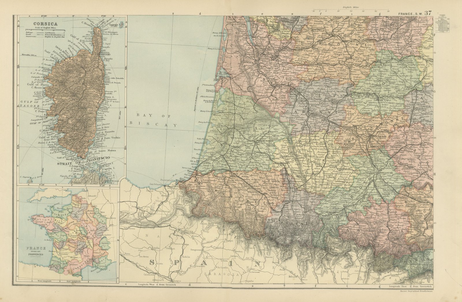
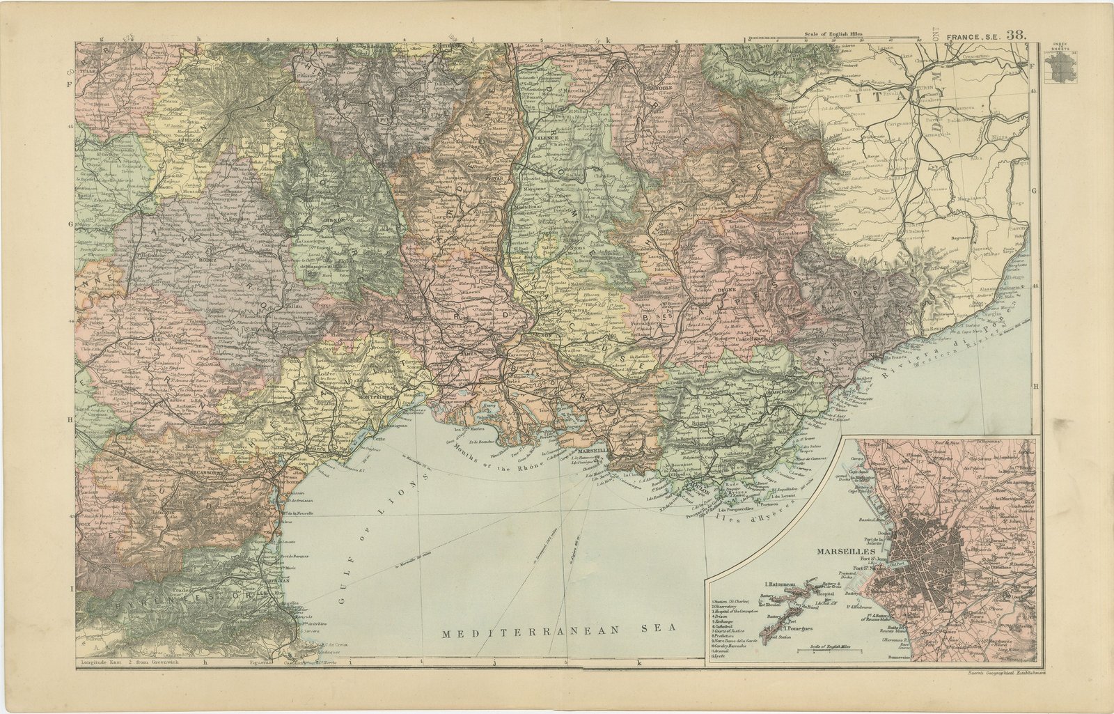
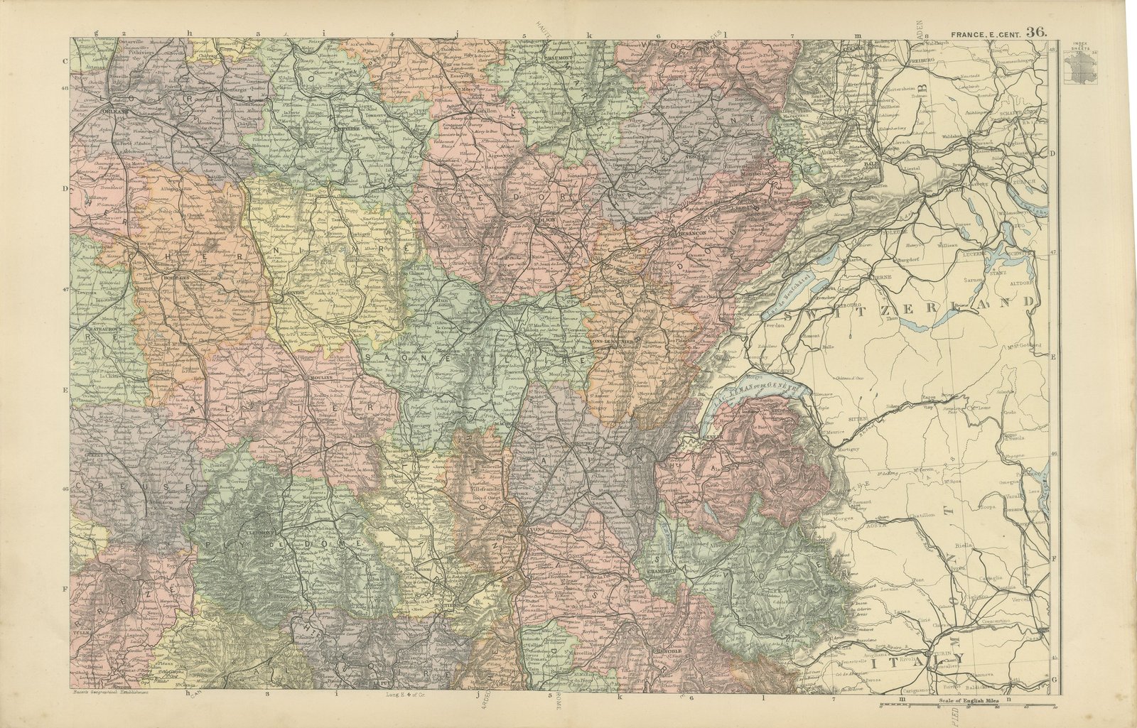
A complete set of six original antique maps that join to form a large wall map of France, color printed in London in 1898 for G. W. Bacon's Commercial and Library Atlas of the World. The sheets divide the country into north west, north east, west central, east central, south west and south east, every department separately colored and named, with the railway network drawn in full, the rivers and canals traced from source to mouth, and inset maps of Cherbourg and Marseilles and of Corsica. Hung as a block of six the set reaches well over a meter in each direction. These are six original sheets sold together as one set and are not offered separately.
Bacon's Commercial and Library Atlas of the World appeared from 127 Strand in 1898, edited by George Washington Bacon, an American who settled in London and built one of the busiest map houses in Victorian Britain. The volume ran to one hundred double page maps and one hundred insets, backed by an index of fifty thousand places, and its plates were drawn, printed and colored at Bacon's own Geographical Establishment, whose imprint appears in the lower margin of the sheets.
The departments drawn here are those created in 1790 and still in use, so the set reads correctly against any modern French address. Alsace and Lorraine lie outside the eastern border, in German hands between 1871 and 1918, which dates the set exactly.
Six sheets, all age toned. The paper darker along the edges of plate 33 and 34. Handling wear to the corners of plate 33 and 36. The printed images are clean.
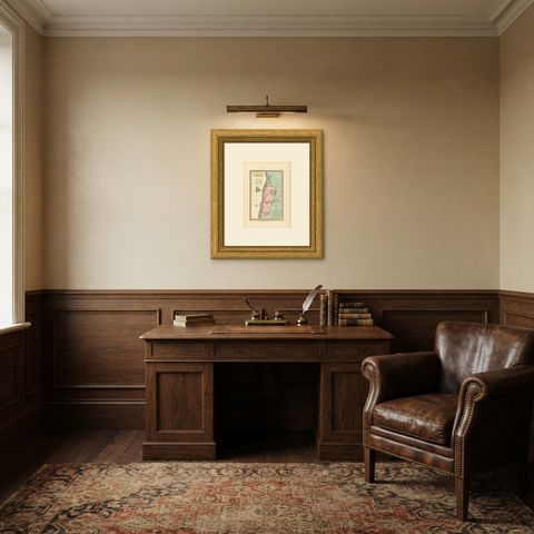
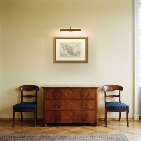
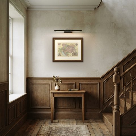
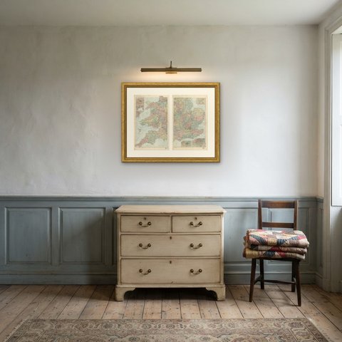
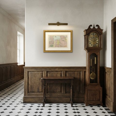
Framed simply, a sheet of this size holds a wall on its own, and the clear color printing reads well across a room. It suits a study, a library, an office or a hallway, and it is an easy gift for anyone with a connection to the place it shows. These are original antique maps, not modern reproductions. This item is sold unframed.