 The sheet, as you receive it
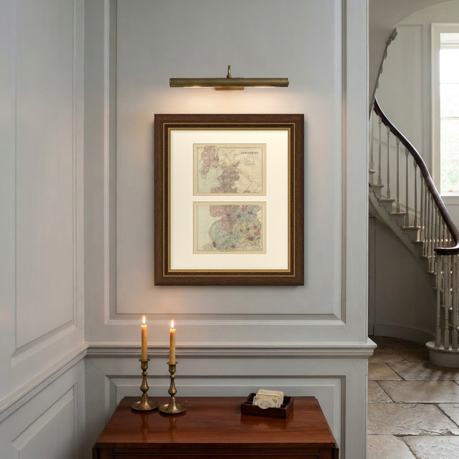
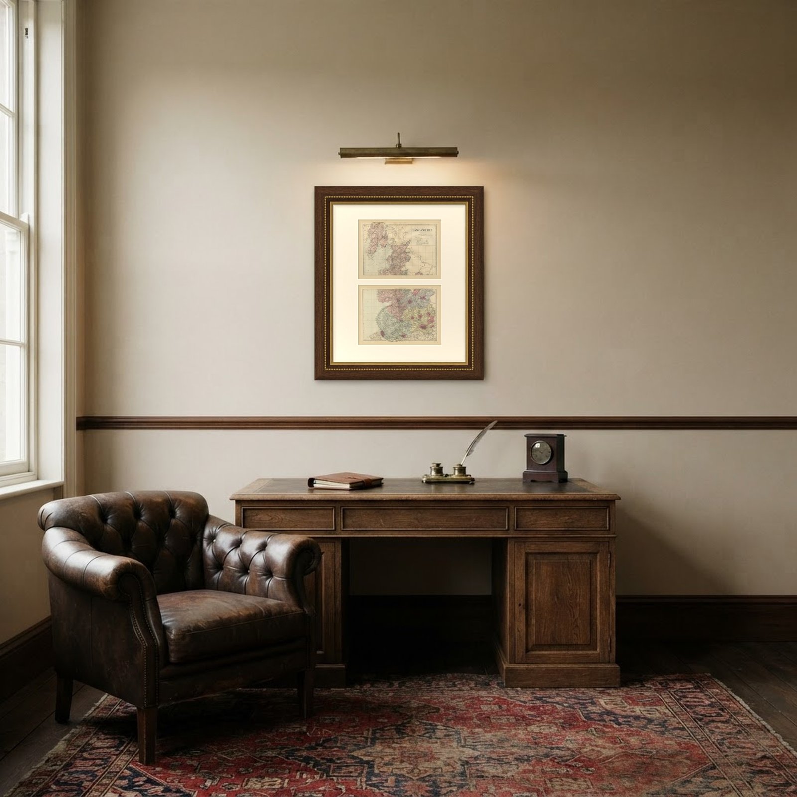 In the room
Interior designers: BarTrade members buy at their trade price. How it works
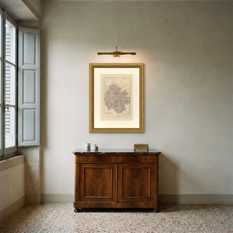
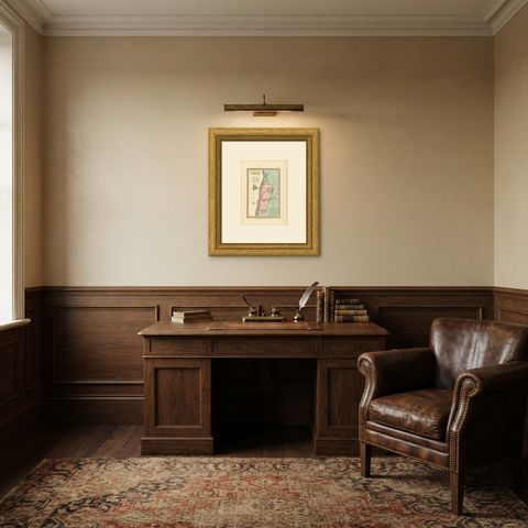
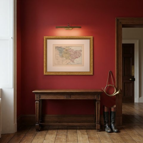
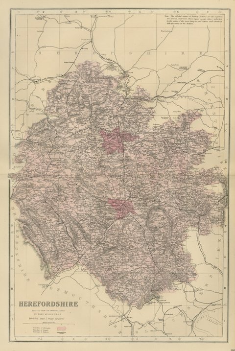
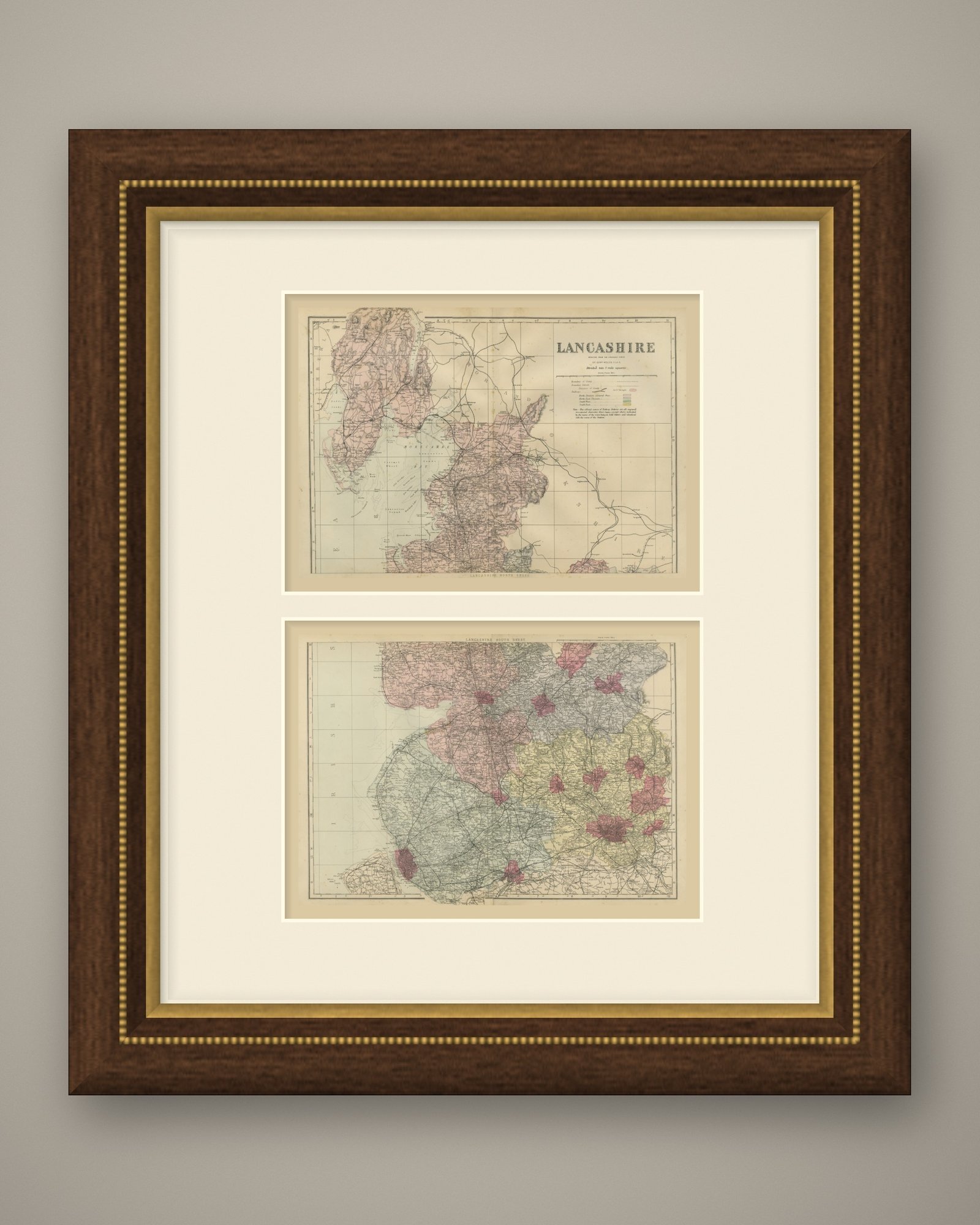
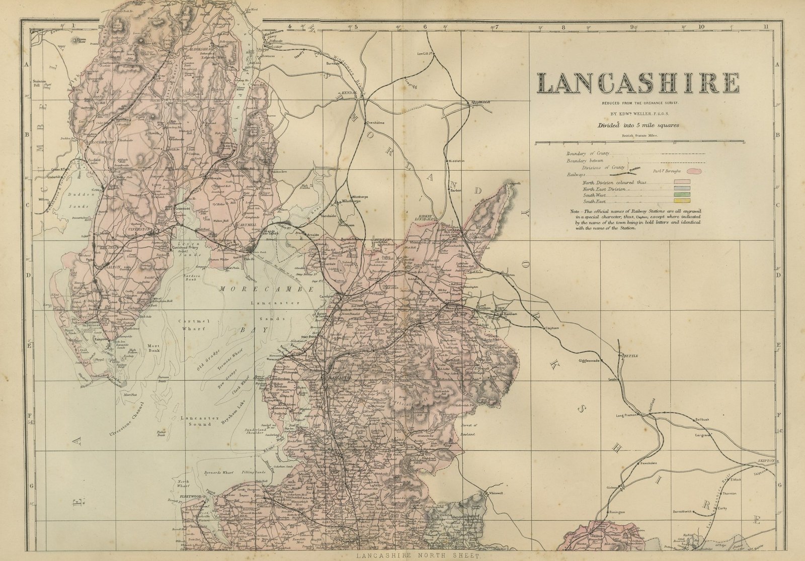
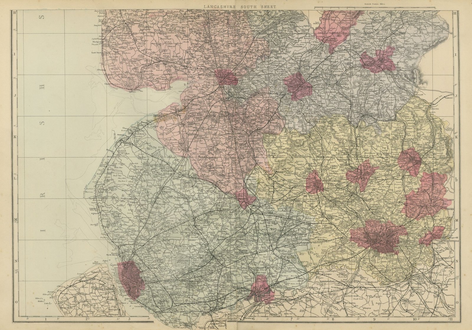
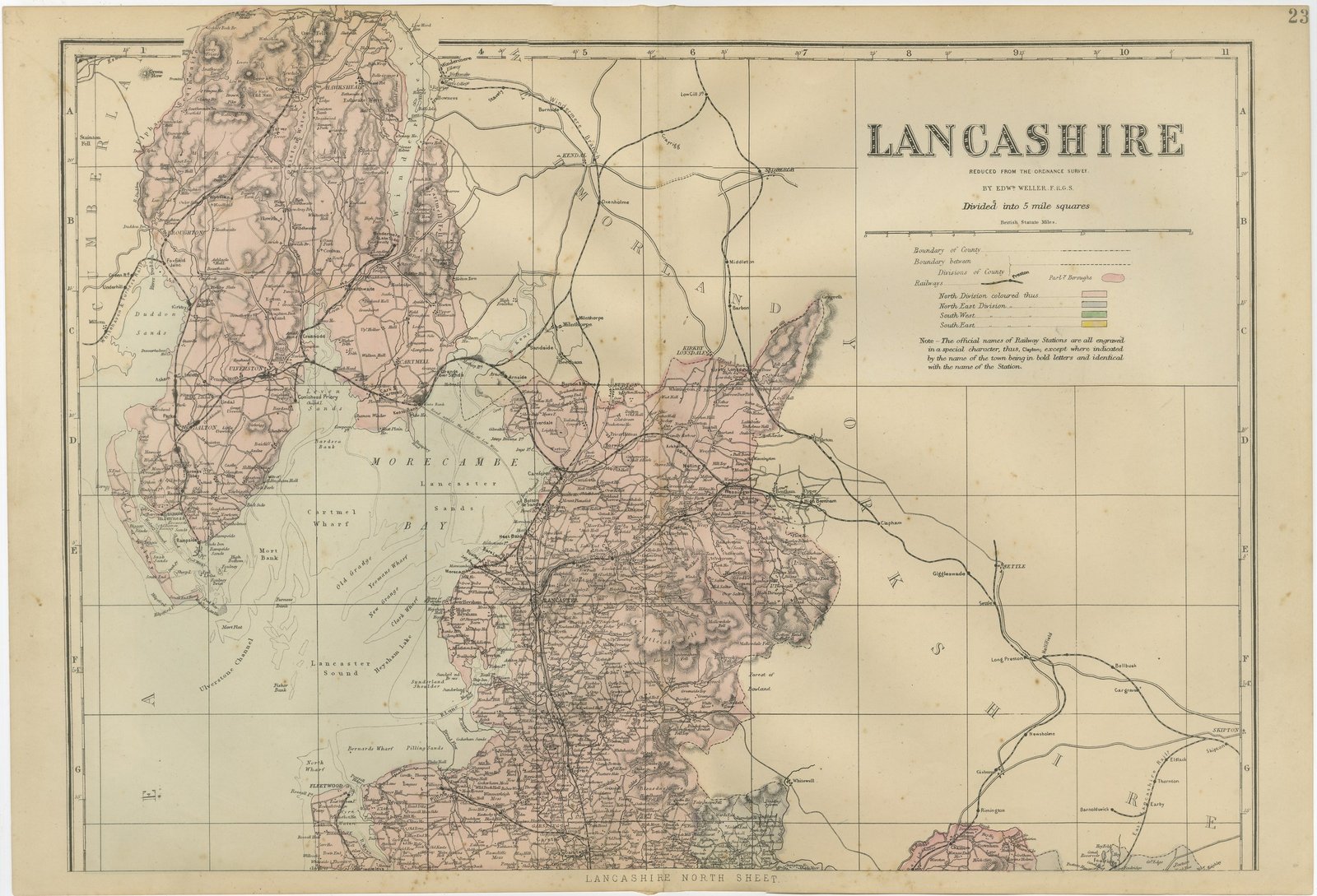
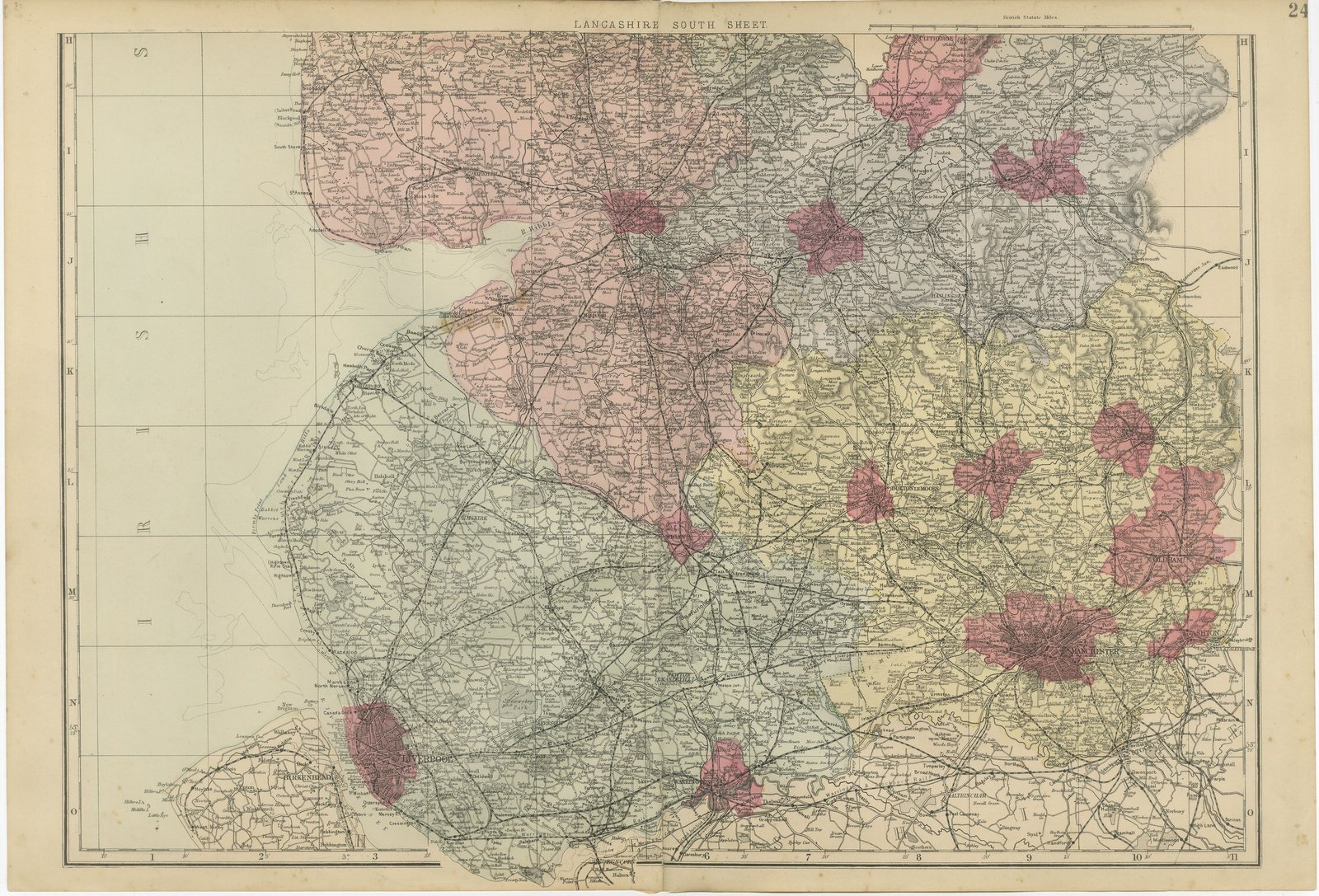
An original antique map of Lancashire on two sheets, printed by lithography with original hand coloring, from the 1885 edition of The New Large Scale Ordnance Atlas of the British Isles. The county was drawn in two halves that join along the grid, and the two sheets are offered together as the complete county map. The north sheet carries the title panel and is lettered "LANCASHIRE NORTH SHEET." in its lower margin; the south sheet is lettered "LANCASHIRE SOUTH SHEET." at its head.
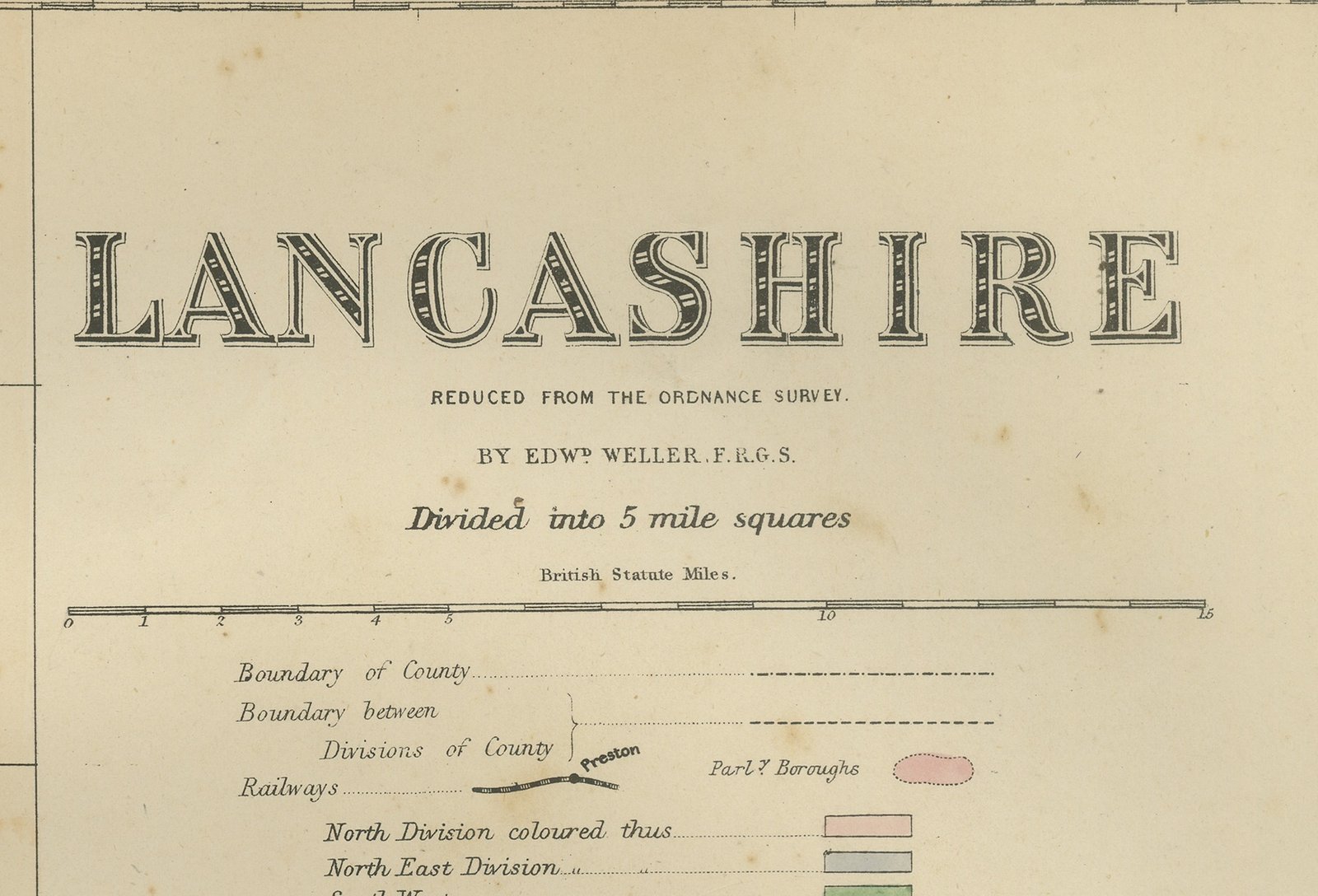
The title panel at the upper right of the north sheet reads "LANCASHIRE", followed by "REDUCED FROM THE ORDNANCE SURVEY.", "BY EDWD WELLER, F.R.G.S." and "Divided into 5 mile squares", with a scale of British Statute Miles. The key explains the county boundary, the boundary between divisions of the county, railways and parliamentary boroughs, and gives the four division colors as lettered: "North Division colored thus", "North East Division", "South West" and "South East". Below it is the atlas note on station names: "The official names of Railway Stations are all engraved in a special character, thus, Clayton; except where indicated by the name of the town being in bold letters and identical with the name of the Station."
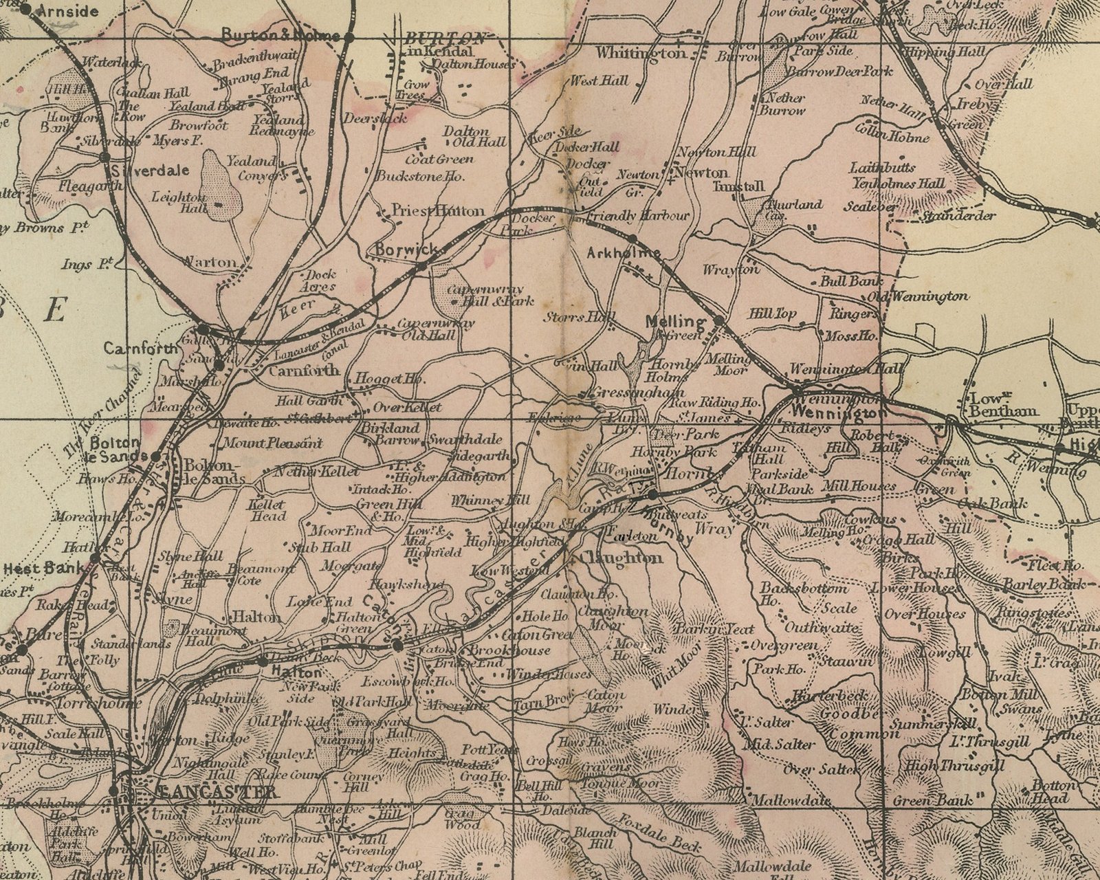
The north sheet shows Furness and the Lake District fells around Coniston, Hawkshead and Windermere, with Ulverston, Dalton and Barrow in Furness on the peninsula and Cartmel and Grange over Sands across the Leven Sands. Morecambe Bay fills the center of the sheet with its sands and channels drawn in fine lines; Morecambe and Lancaster lie on its eastern shore, Fleetwood on the point at the southern edge of the bay and Garstang inland, with the Forest of Bowland further east. Cumberland, Westmorland with Kendal, and Yorkshire with Settle and Skipton are named around the county, and the open sea runs down the left side.
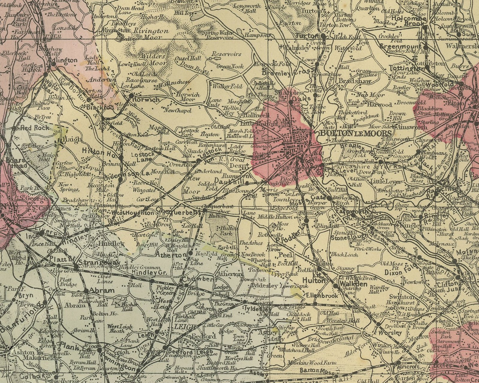
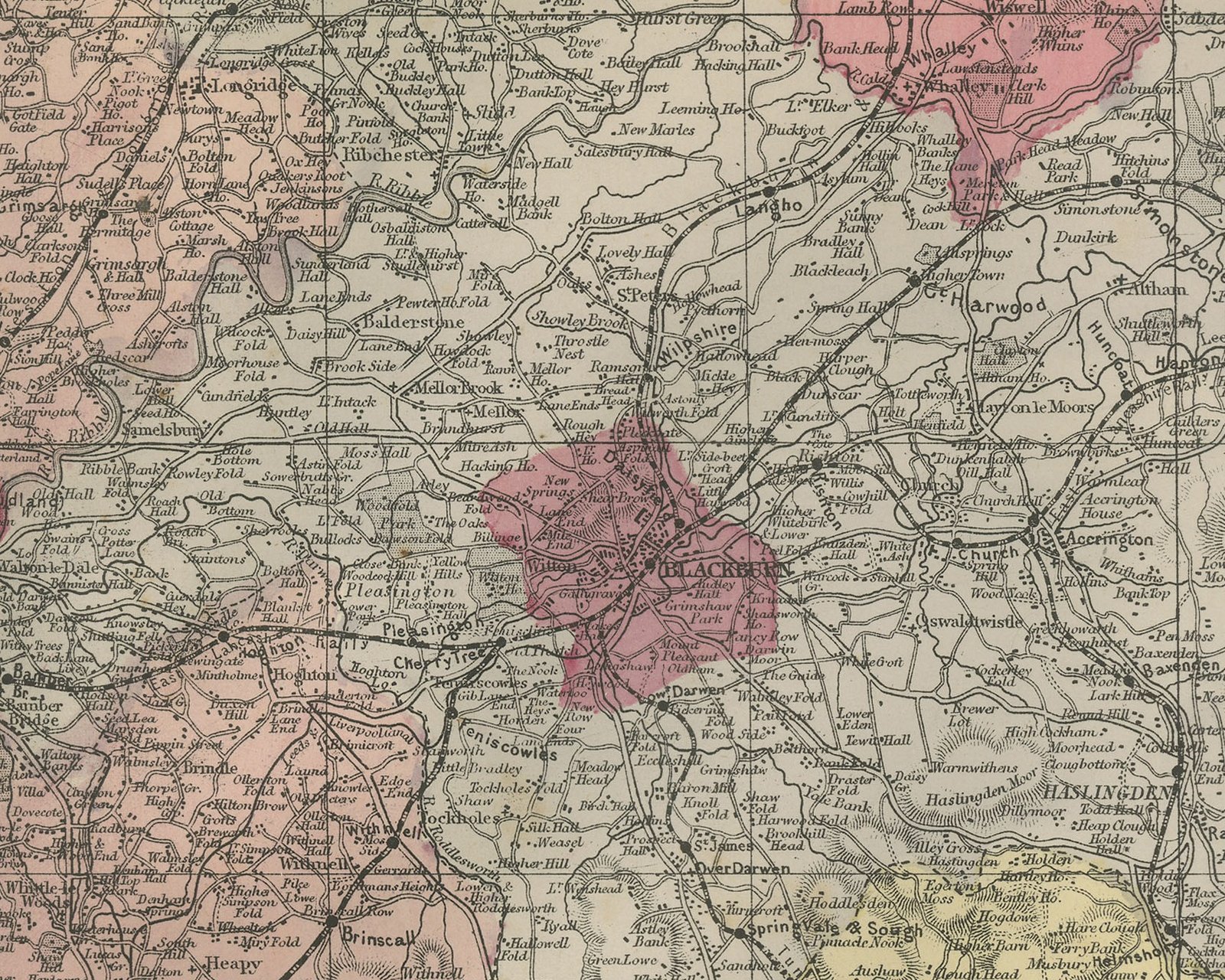
The south sheet carries the coast from Blackpool, Lytham and the Ribble estuary down past Southport and Formby Point to Liverpool on the Mersey, with Birkenhead and Wallasey across the river, and the Irish Sea lettered down the left side. Inland are Preston, Wigan, Bolton le Moors, Blackburn, Burnley, Clitheroe, Accrington, Rochdale, Oldham, Manchester, Ashton, Warrington and Stockport, with a dense web of railways across the eastern half.
The north sheet is washed almost entirely in the rose of the North Division, with the gray of the North East Division entering at its lower edge. The south sheet shows all four divisions as set out in the key, rose in the northwest, gray in the northeast, green in the southwest and yellow in the southeast, and the parliamentary boroughs are picked out in crimson; there the crimson patches of Liverpool, Preston, Blackburn, Burnley, Bolton, Rochdale, Oldham, Manchester, Ashton, Wigan and Warrington stand out clearly. Each sheet is divided into five mile squares with letters and figures in the border, the letters running on from the north sheet into the south. The sheet numbers 23 and 24 are printed at the upper right of the two sheets.
The two sheets come from The New Large Scale Ordnance Atlas of the British Isles, the atlas of county and town maps reduced from the Ordnance Survey by Edward Weller, F.R.G.S., and published in London by G. W. Bacon and Co. The date 1885 comes from the volume the sheets were taken from; the year is not printed on the sheet, and Bacon's name does not appear on it. Edward Weller (1819 to 1884) was a London map engraver and draftsman and a Fellow of the Royal Geographical Society.