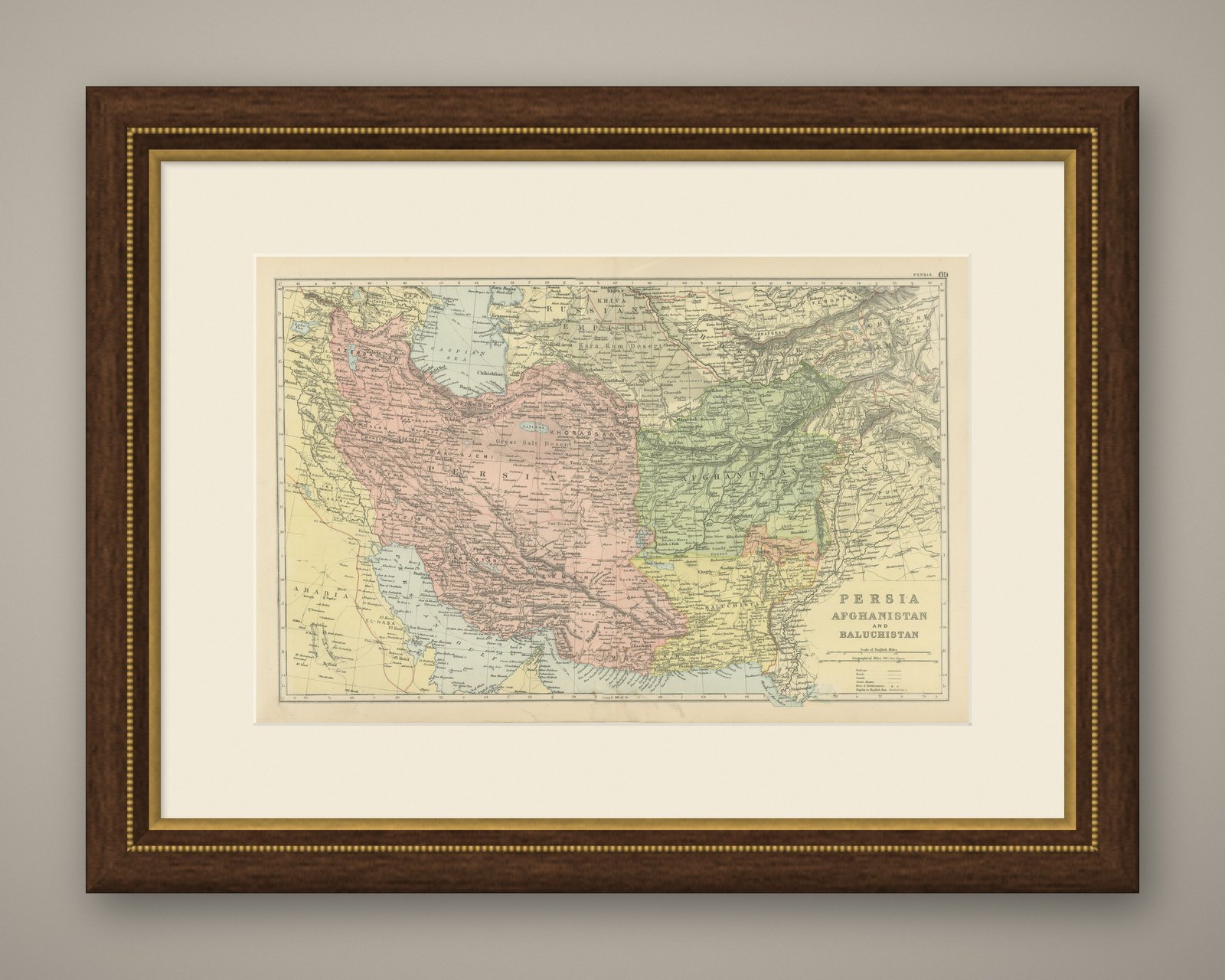
 The sheet, as you receive it
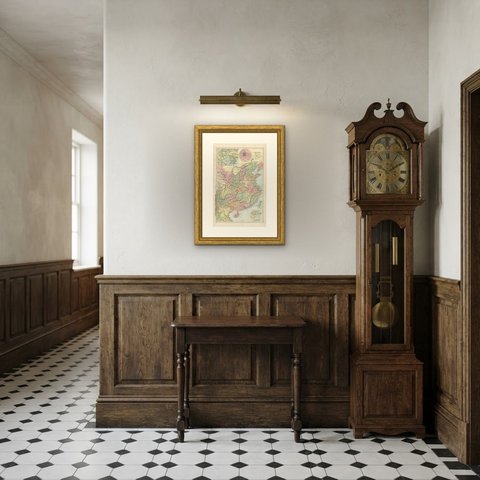
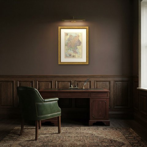
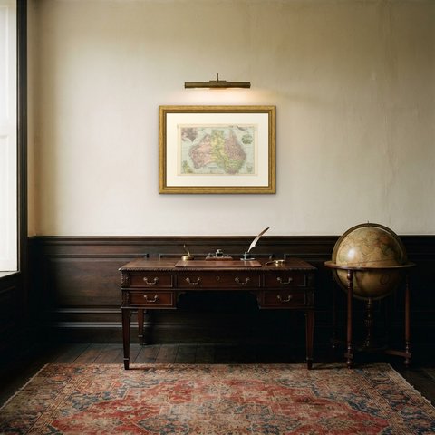
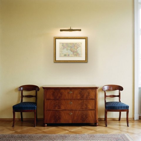
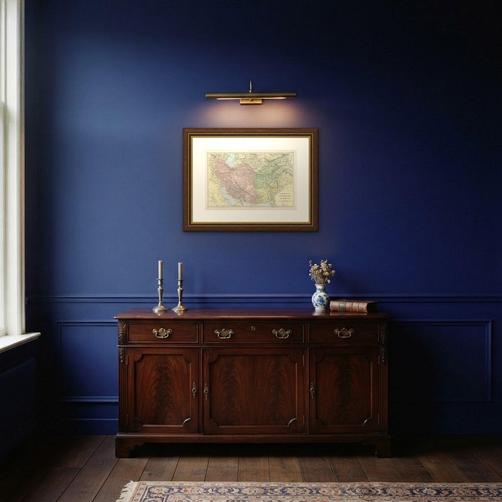 In the room

Interior designers: BarTrade members buy at their trade price. How it works
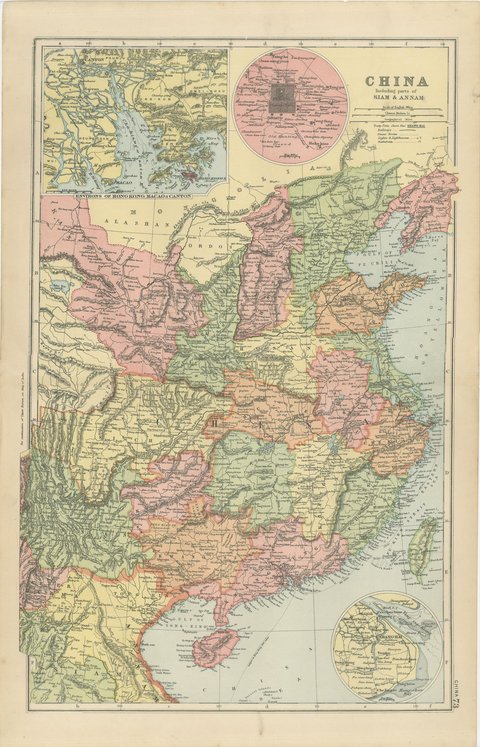
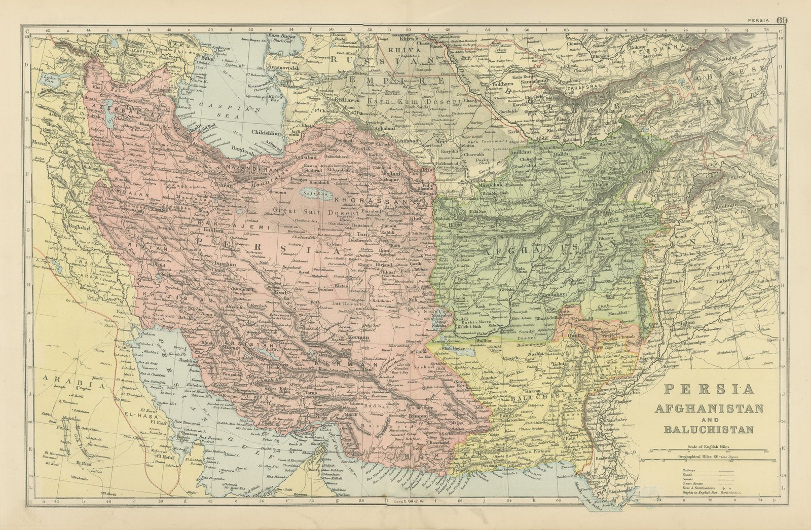
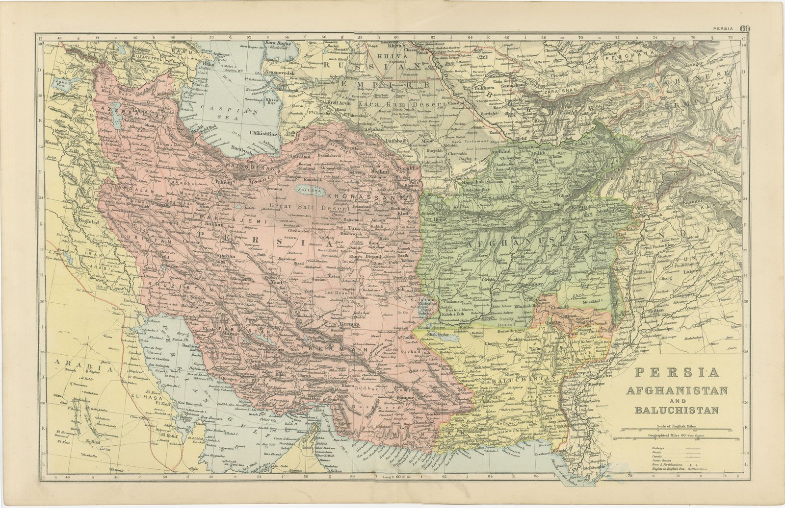
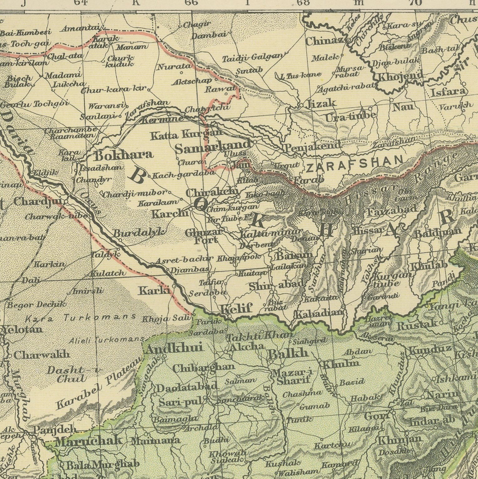
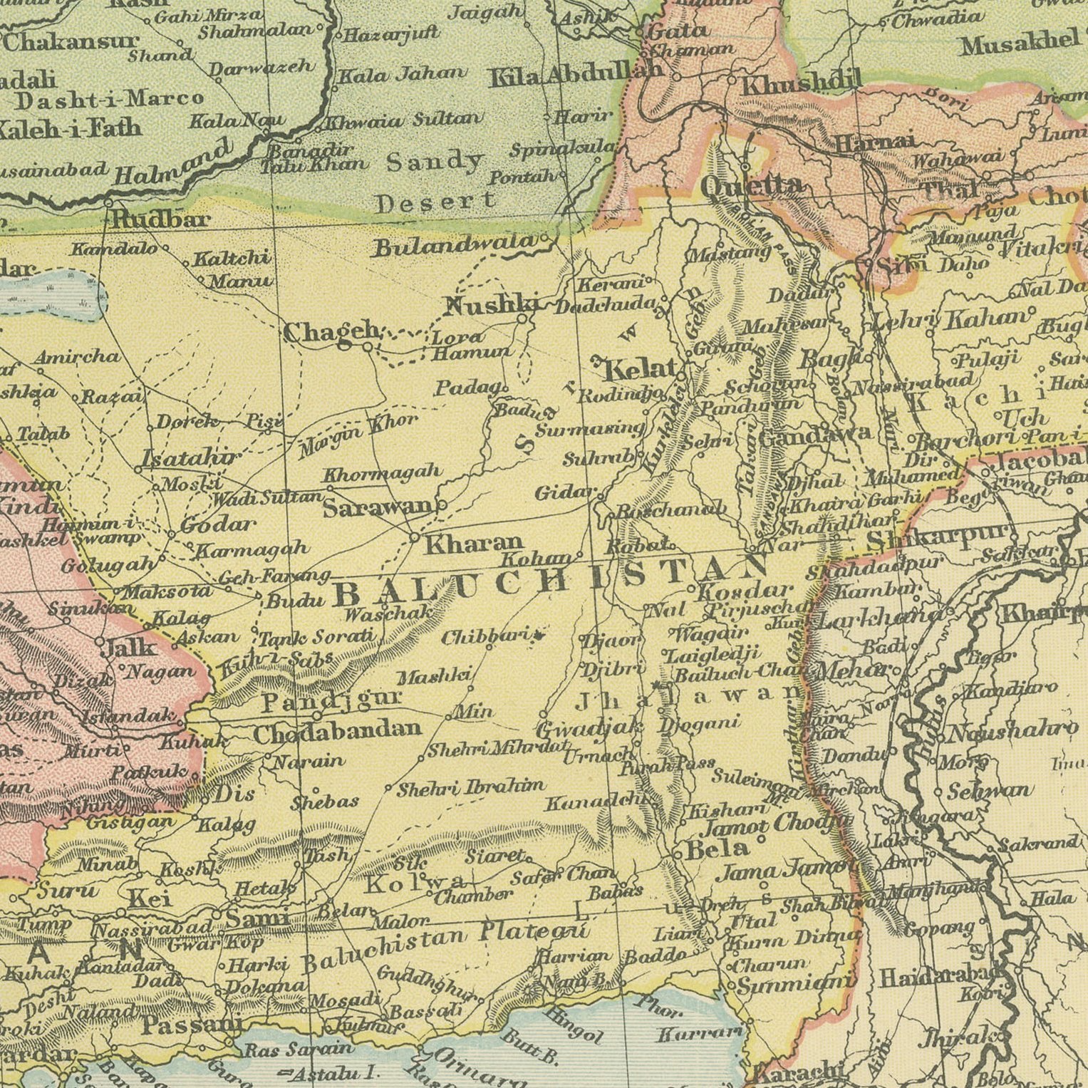
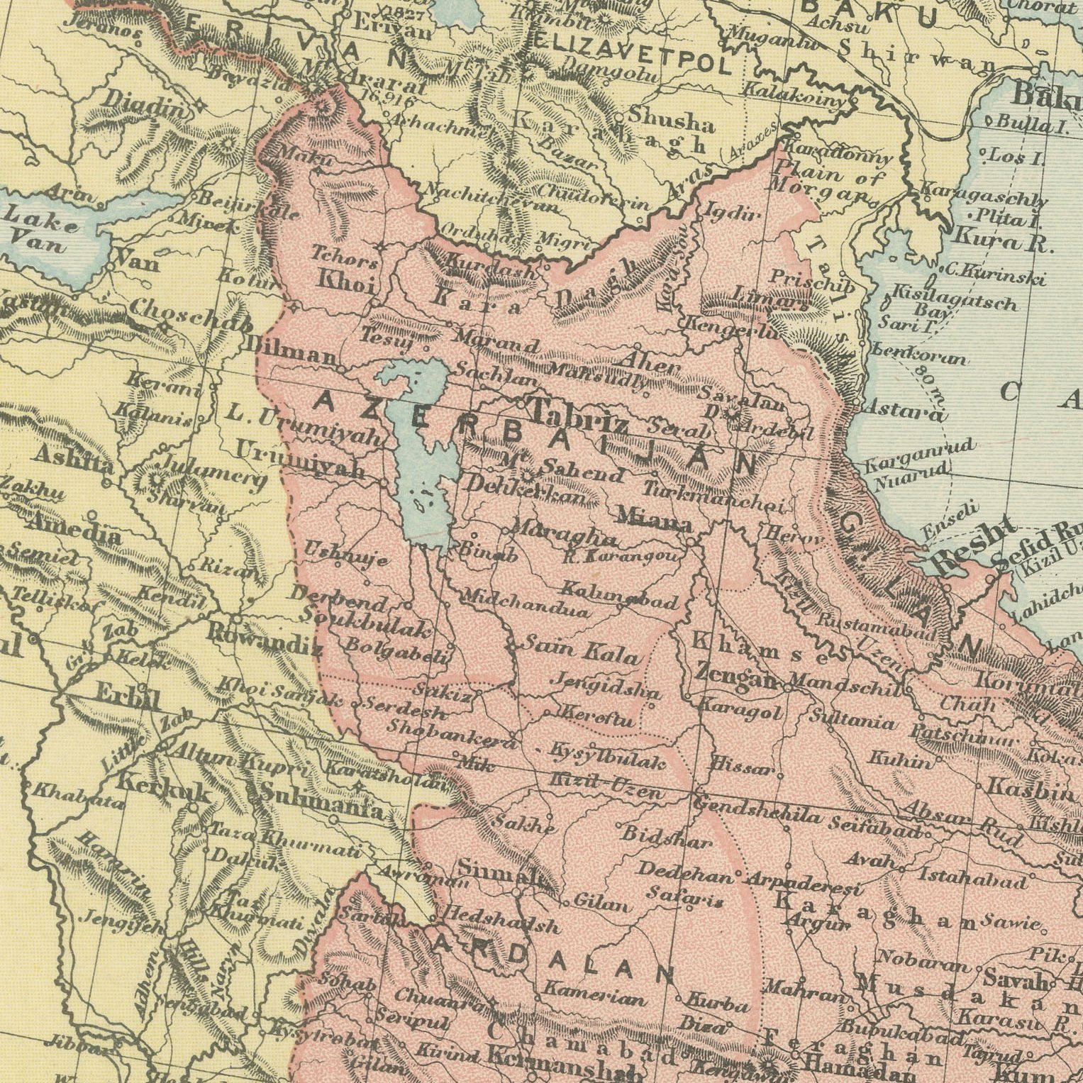
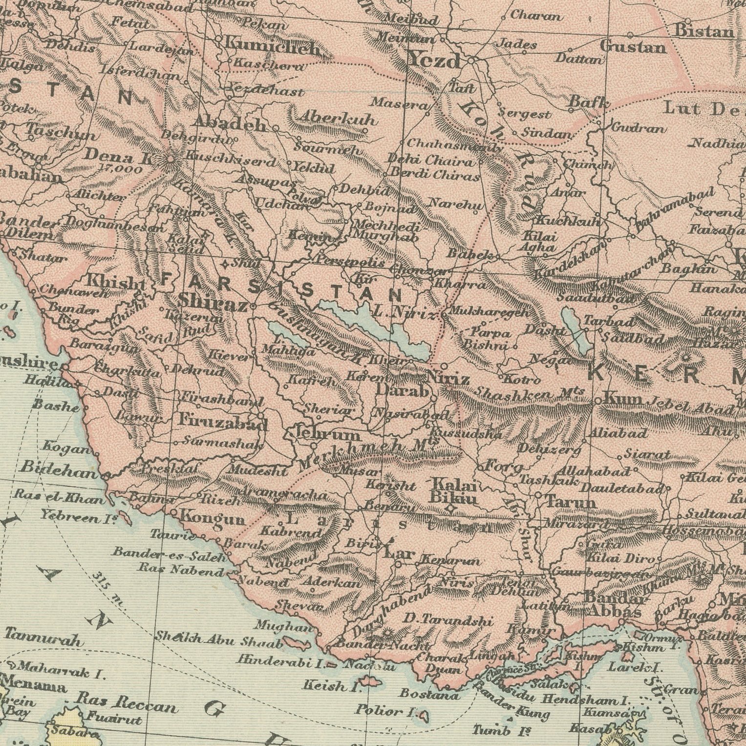
Original antique map of Persia, Afghanistan and Baluchistan, color printed in 1898 for Bacon's Commercial and Library Atlas of the World. The double page runs from the Tigris to the Indus and from the Russian Empire to the Arabian Sea, with Khorassan, Kerman and Fars named across Persia, Afghanistan colored separately with Kabul, Kandahar and Herat, and Baluchistan reaching down to the Mekran coast. The Great Salt Desert and the Dasht-i-Lut are shaded, and the caravan routes are drawn between the cities.
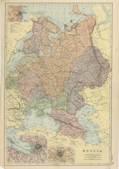
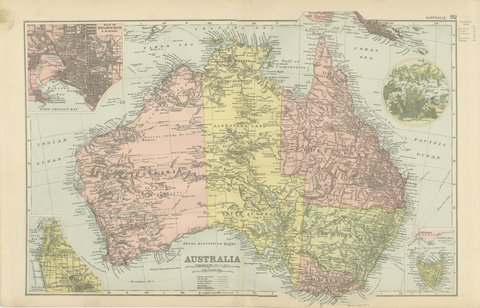
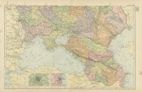
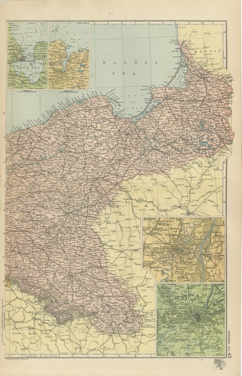
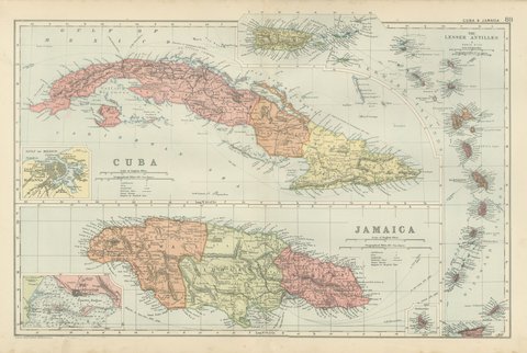
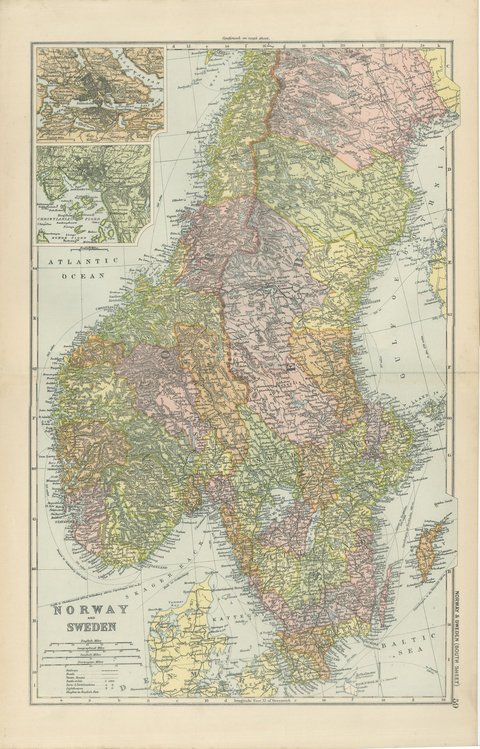
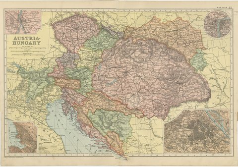
The plate belongs to the 1898 edition of Bacon's Commercial and Library Atlas of the World with Index-Gazetteer, edited by G. W. Bacon of 127 Strand, London. Printed and colored at Bacon's Geographical Establishment, the atlas set out one hundred double page maps and one hundred inset maps, and its purpose was practical: it recorded the political world as the Victorians left it, a year after the Diamond Jubilee and a year before the South African War.
This is the buffer ground of the Great Game, and the map shows why it mattered: Russian territory runs along the whole northern edge, with the new railway at Askabad and Merv, while British India presses up from the south east. The Afghan boundary had been settled by the Durand Line only five years before and is drawn here for the first atlas generation. Persian and Afghan maps of this date are scarce in good color and are collected by specialists.
Light overall age toning, with the paper darker along the bottom edge, gray handling soiling in the margins and light handling wear at the top right and bottom left corners. The printed image itself is clean.
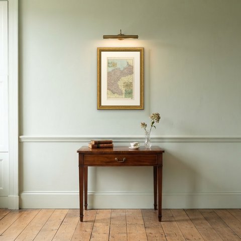
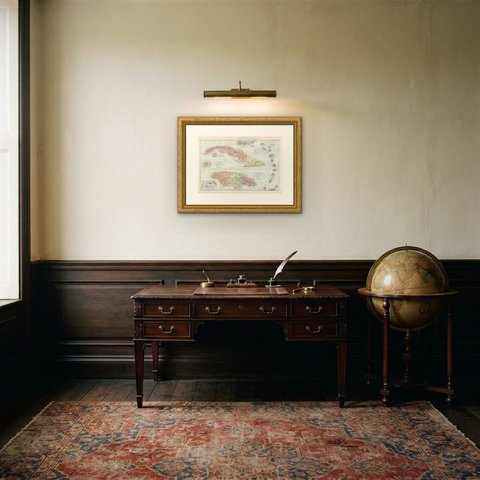
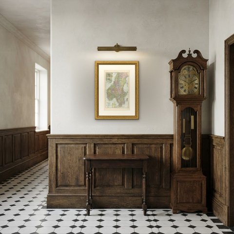
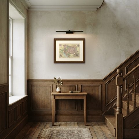
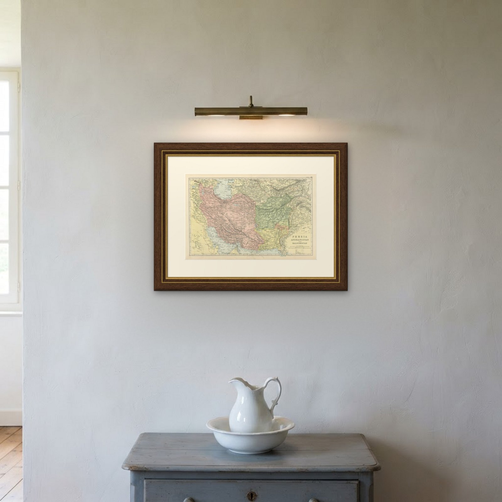
Hung in a plain frame with a generous mount, a map of this scale makes a strong center for a room, and it pairs naturally with other sheets from the same atlas if a wall calls for a group. It is equally at home in a study, a dining room or a set of offices. This is an original antique map, not a modern reproduction. This item is sold unframed.