 The sheet, as you receive it
 In the room

Interior designers: BarTrade members buy at their trade price. How it works
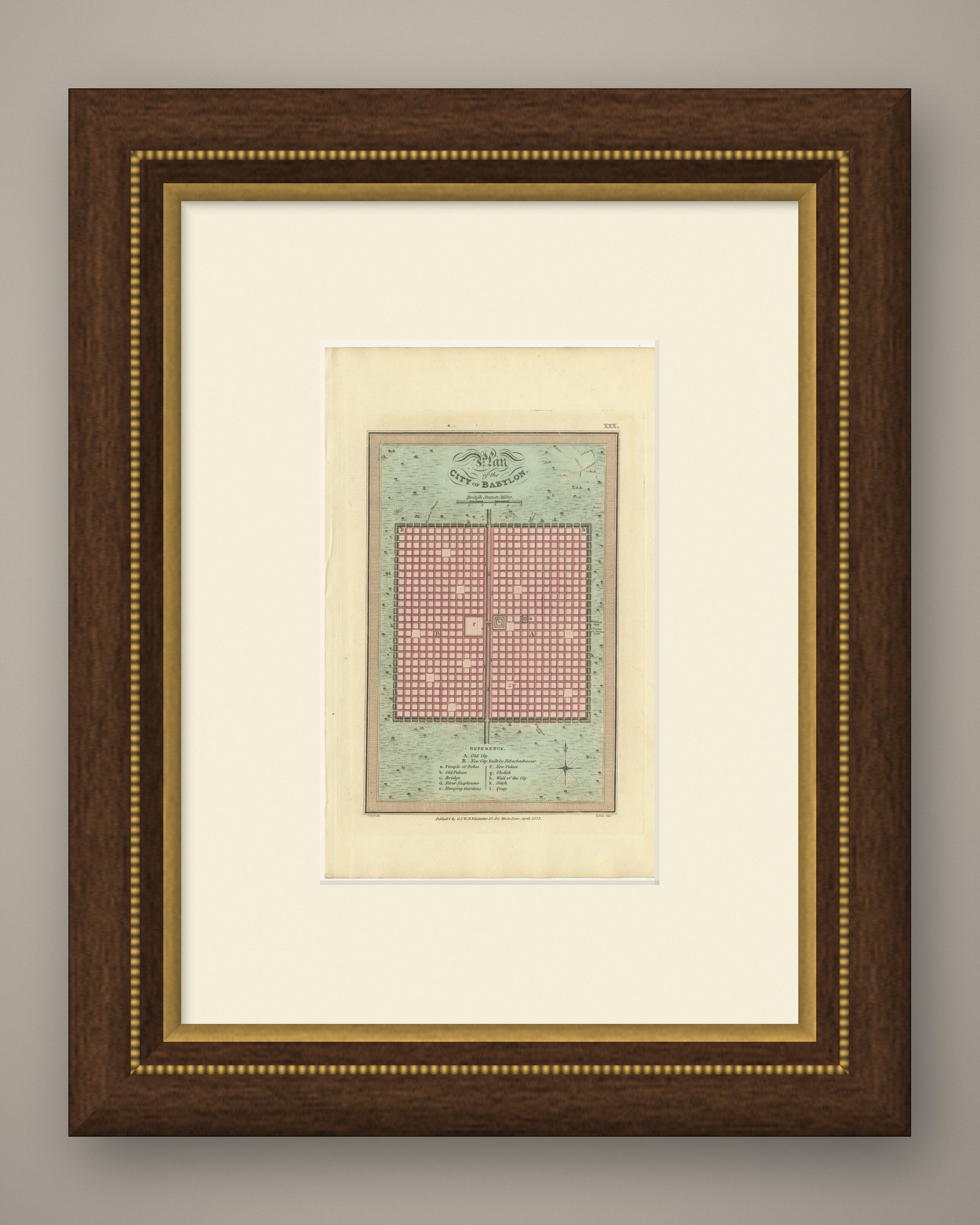
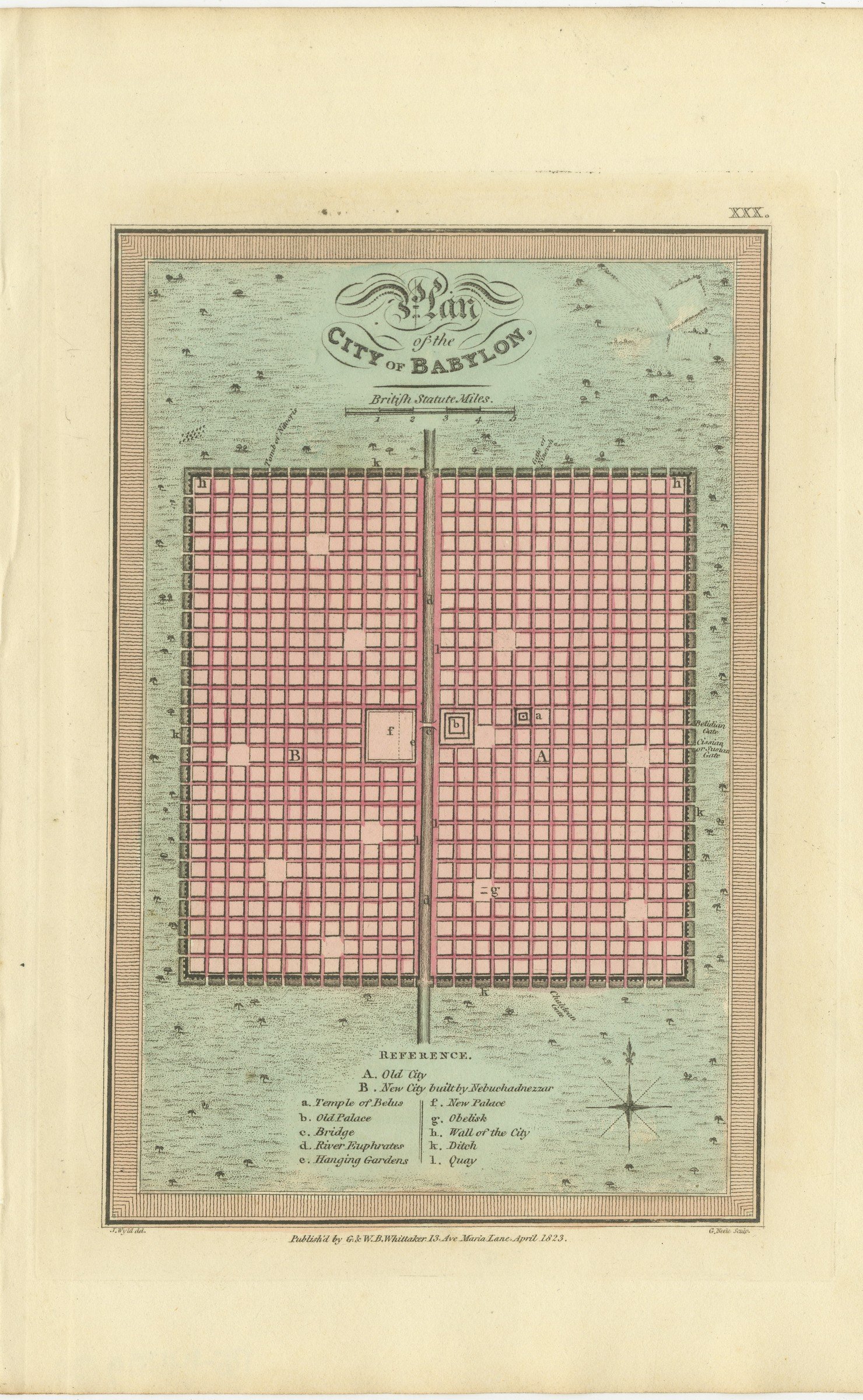
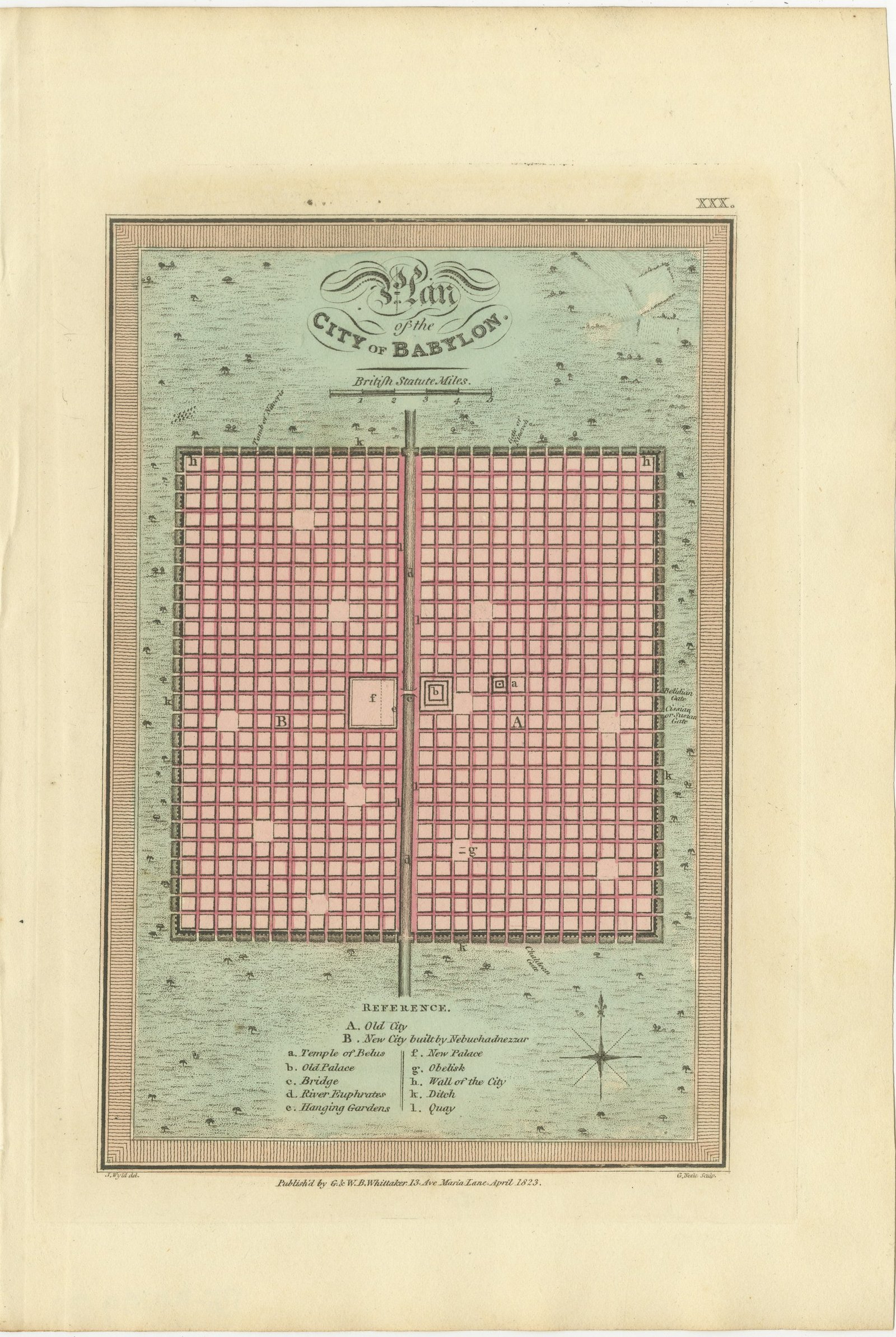
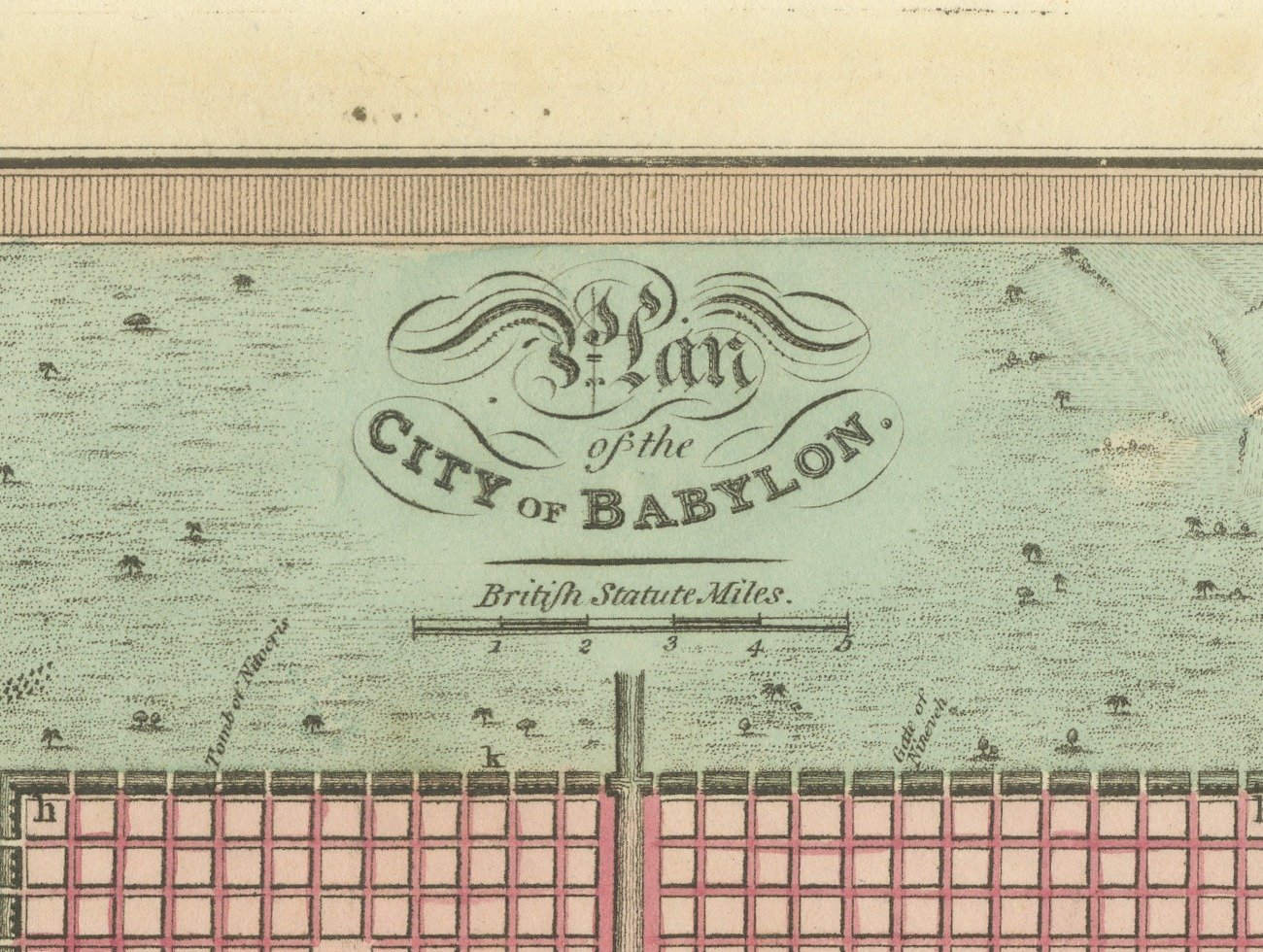
This is an original antique copper engraved map with original hand coloring, published in 1823 as plate XXX of James Wyld's Geographia Sacra, or Scripture Atlas. The engraved title reads "Plan of the CITY OF BABYLON." The title is engraved with calligraphic flourishes at the top of the plan, above a scale of British statute miles.
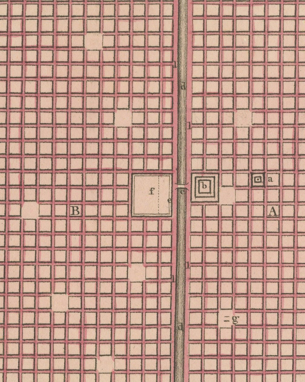
The city is drawn as a great square within a wall and ditch, its streets laid out in a regular grid washed in pink, and a river running straight through the middle from top to bottom. The country around the walls is washed in pale green and dotted with trees. Letters on the plan are keyed to the "REFERENCE" engraved below: A for the Old City and B for the New City built by Nebuchadnezzar, with the Temple of Belus, the old and new palaces, the bridge, the River Euphrates, the Hanging Gardens, an obelisk, the wall of the city, the ditch and the quay. A compass rose is engraved at the lower right.
Below the lower border the credit J. Wyld del. is engraved at the left and G. Neele Sculp. at the right, with the imprint between them: "Publish'd by G. & W. B. Whittaker. 13. Ave Maria Lane, April 1823." The plate number is engraved as XXX. in the upper right.
The atlas was published by G. and W. B. Whittaker in London, and its engraved title page names Wyld as "of the Quarter Master General's Office, Horse Guards". James Wyld the elder (1790 to 1836) was a London geographer and map publisher.
Even age toning. Handling soiling along the bottom, right and top edges. Slight wear at the top right corner.
This is an original antique map, not a modern reproduction. This item is sold unframed.