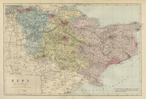
 The sheet, as you receive it
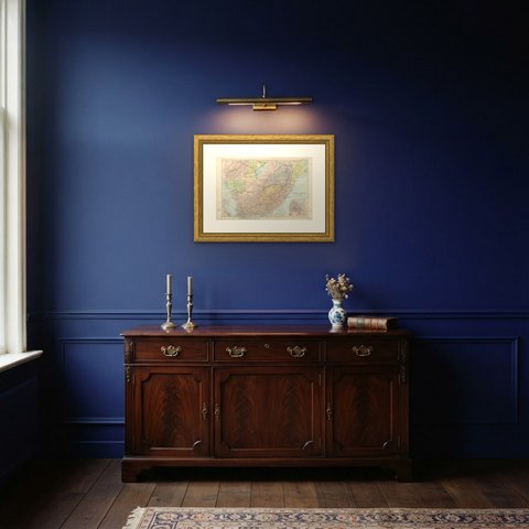
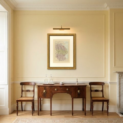
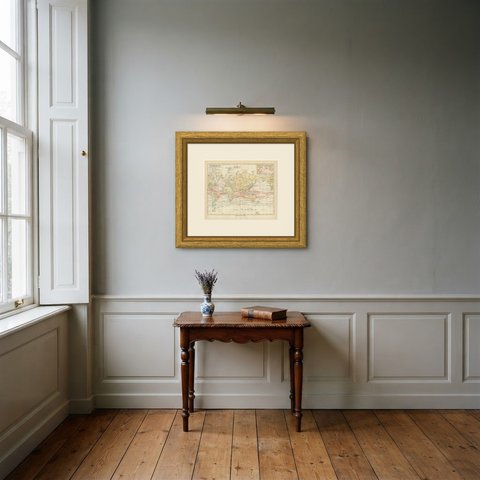
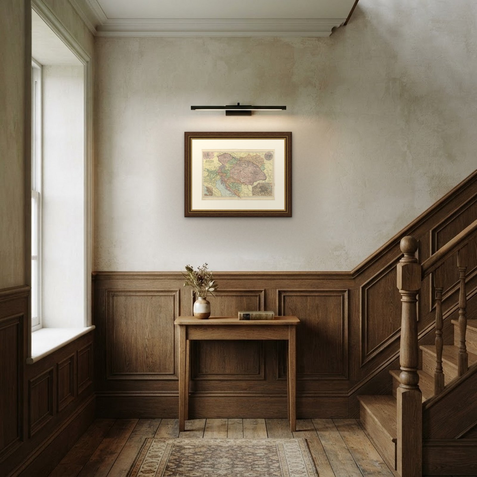 In the room
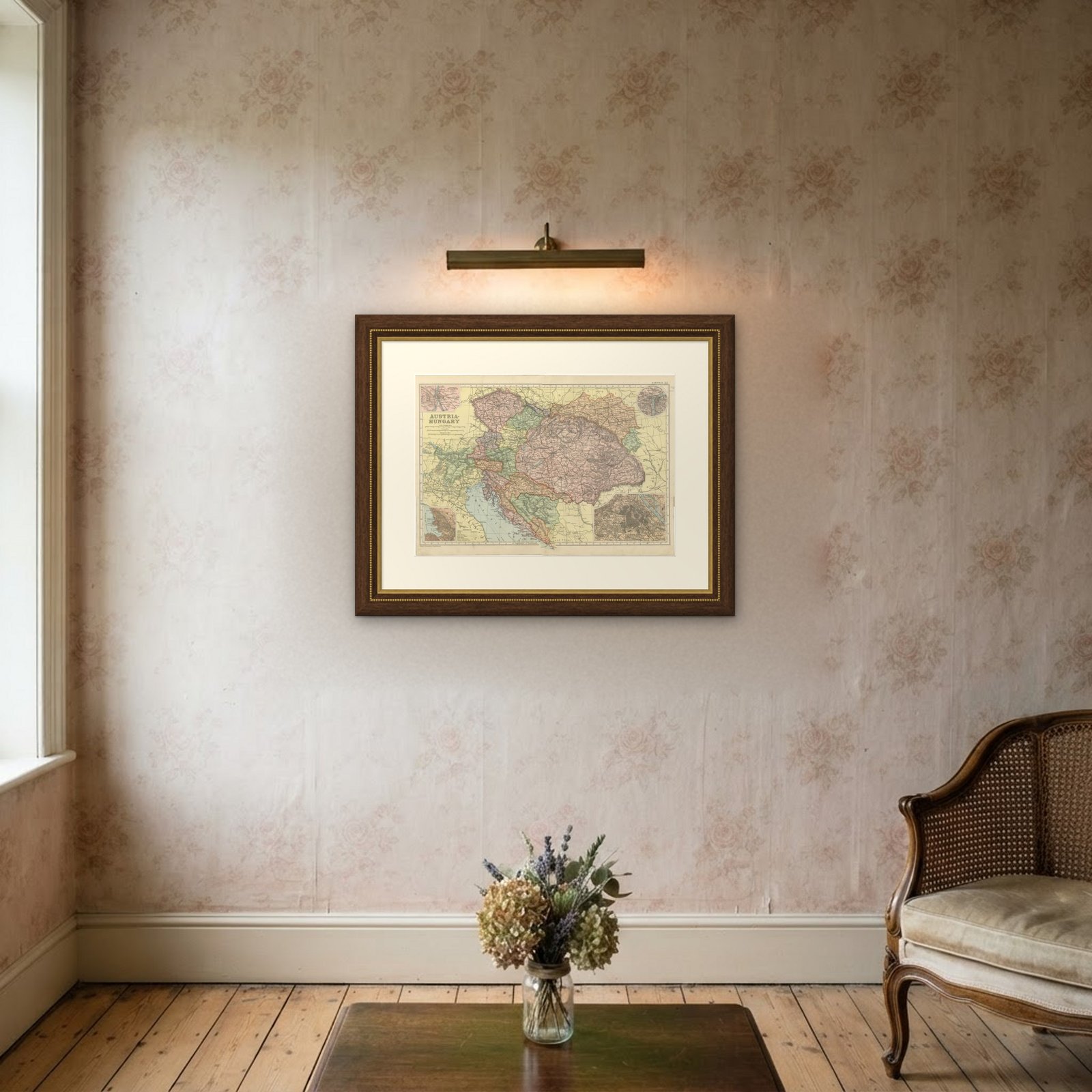

Interior designers: BarTrade members buy at their trade price. How it works
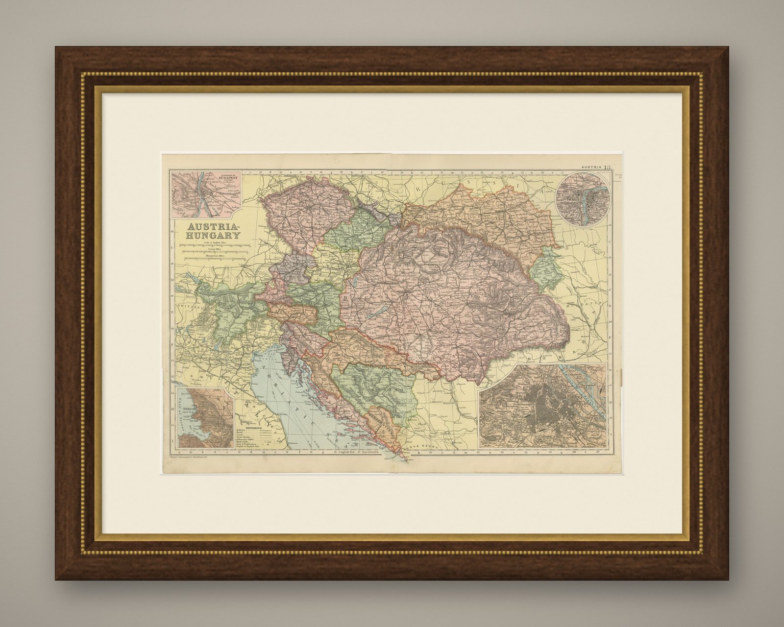
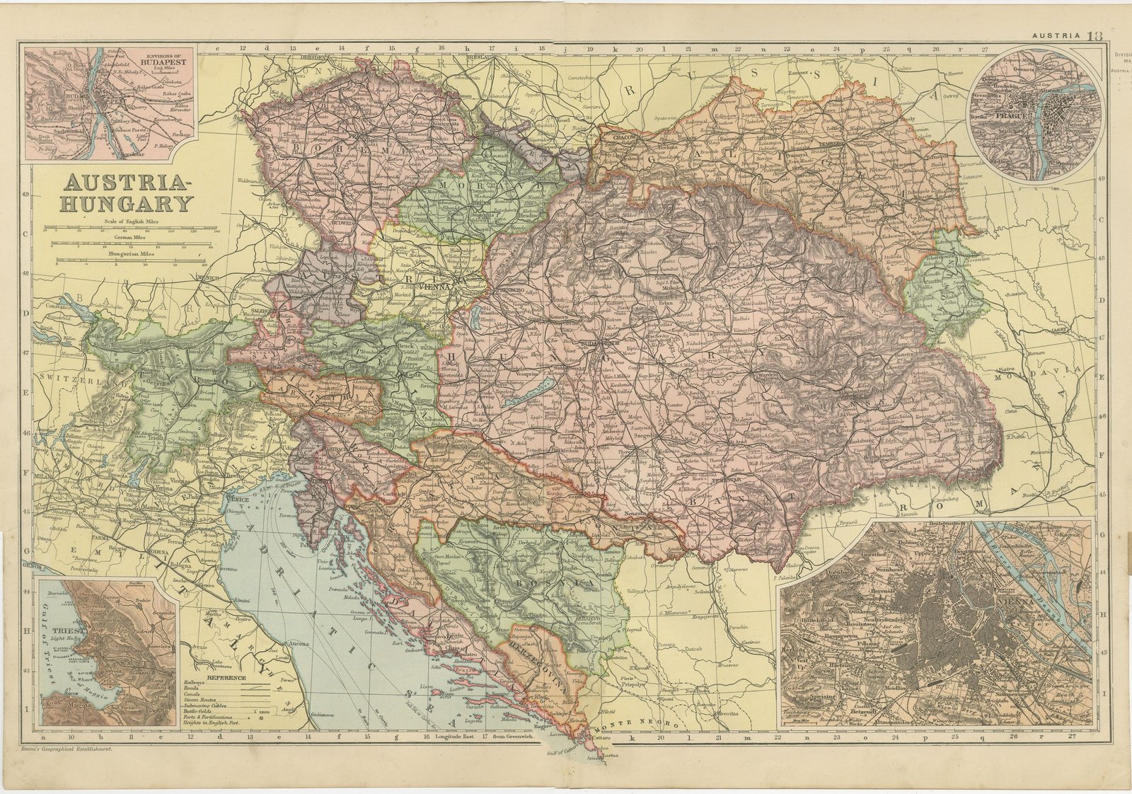
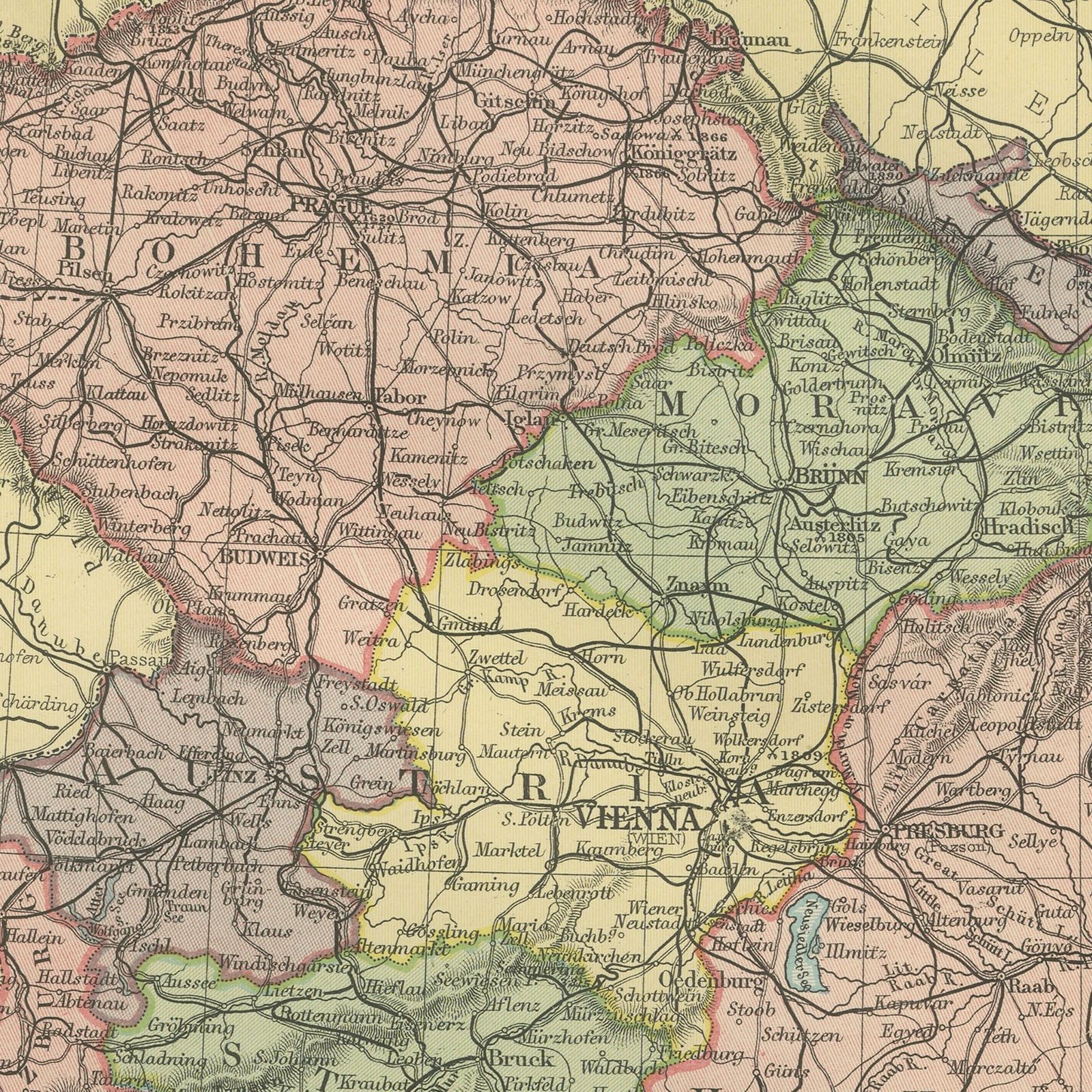
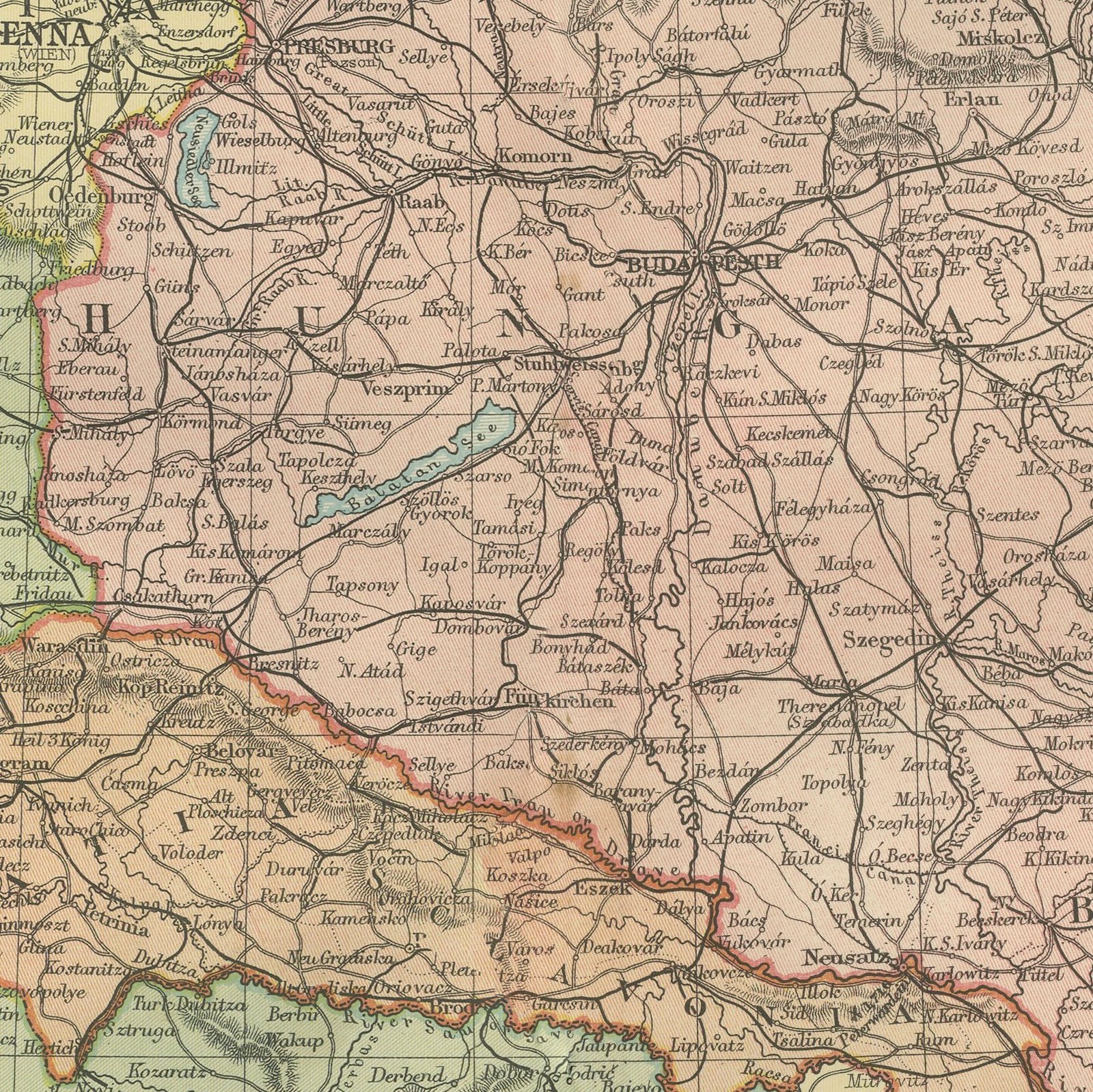
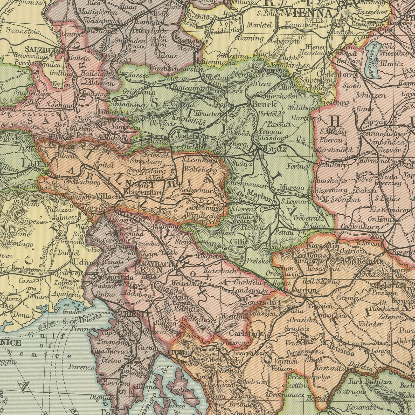
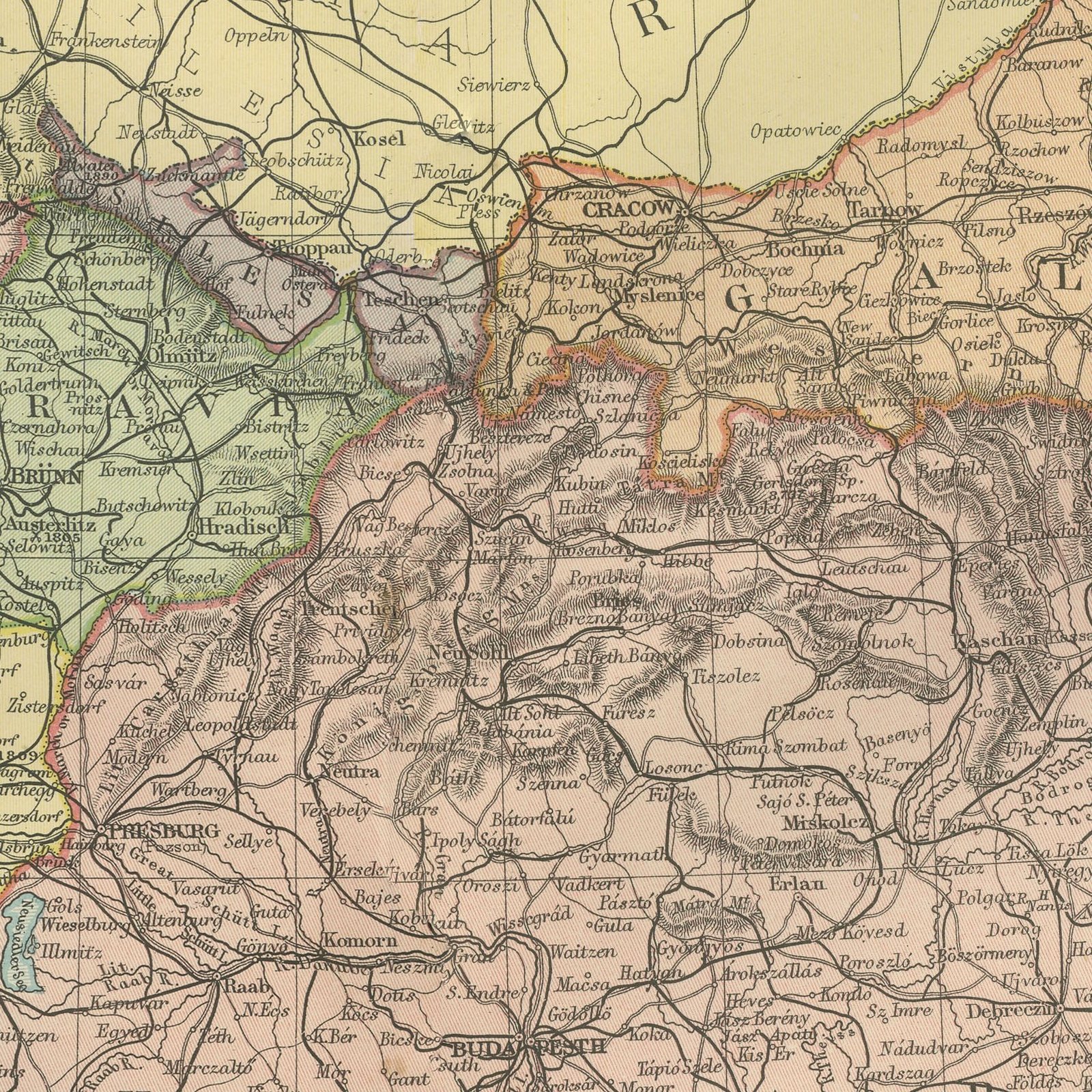
Original antique map of Austria-Hungary, color printed in London in 1898 for G. W. Bacon's Commercial and Library Atlas of the World. The whole of the Dual Monarchy is shown across a double page, from Bohemia and Galicia to Dalmatia and the Bosnian lands taken under administration in 1878, with every crown land separately colored and the railways drawn through the Alps and the Carpathians. Four inset plans give the environs of Vienna, Prague, Budapest and the Adriatic port of Trieste.
The sheet was printed for the Commercial and Library Atlas of the World, the reference atlas G. W. Bacon and Company, Limited published from the Strand in London in 1898. Bacon edited it himself, and his Geographical Establishment drew, printed and colored every plate. One hundred double page maps and one hundred insets covered the whole of the known world, with the railway and steamship lines that were then remaking it marked throughout.
Maps of Austria-Hungary sell on the simple fact that the country no longer exists, and a sheet from 1898 catches it whole, sixteen years before the shot at Sarajevo. The crown lands named here became parts of seven modern states, which makes the map a genealogical tool as much as a decorative one. The Trieste inset is a reminder that the empire was a naval power with a long Adriatic coast, something that is easy to forget from a modern map.
Warm cream paper, evenly age toned, with a very narrow margin and the map printed to the edge of the sheet. The bottom edge is uneven where the leaf was taken from the volume. The printed image is clean.
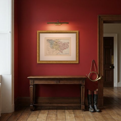
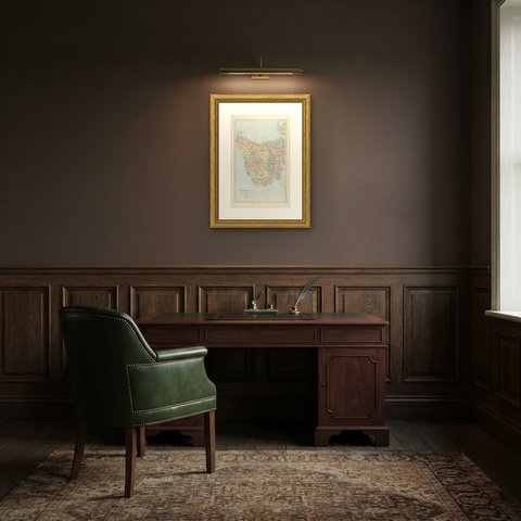
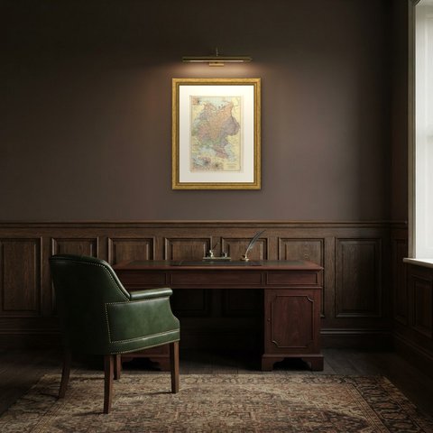
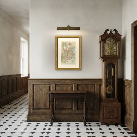
The sheet is large enough to carry a chimney breast or a stairwell and quiet enough in color to sit with books and furniture rather than compete with them. Collectors of Victorian cartography, interior designers and anyone with a tie to the region will find a use for it. This is an original antique map, not a modern reproduction. This item is sold unframed.