 The sheet, as you receive it
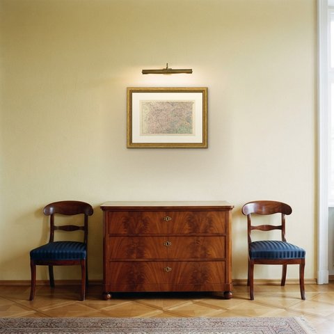
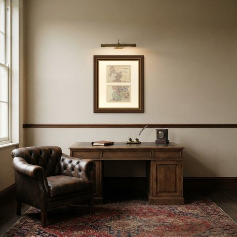
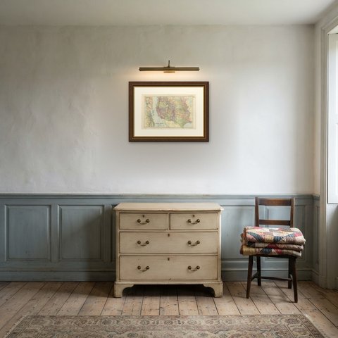
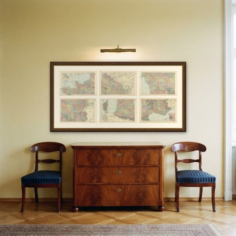
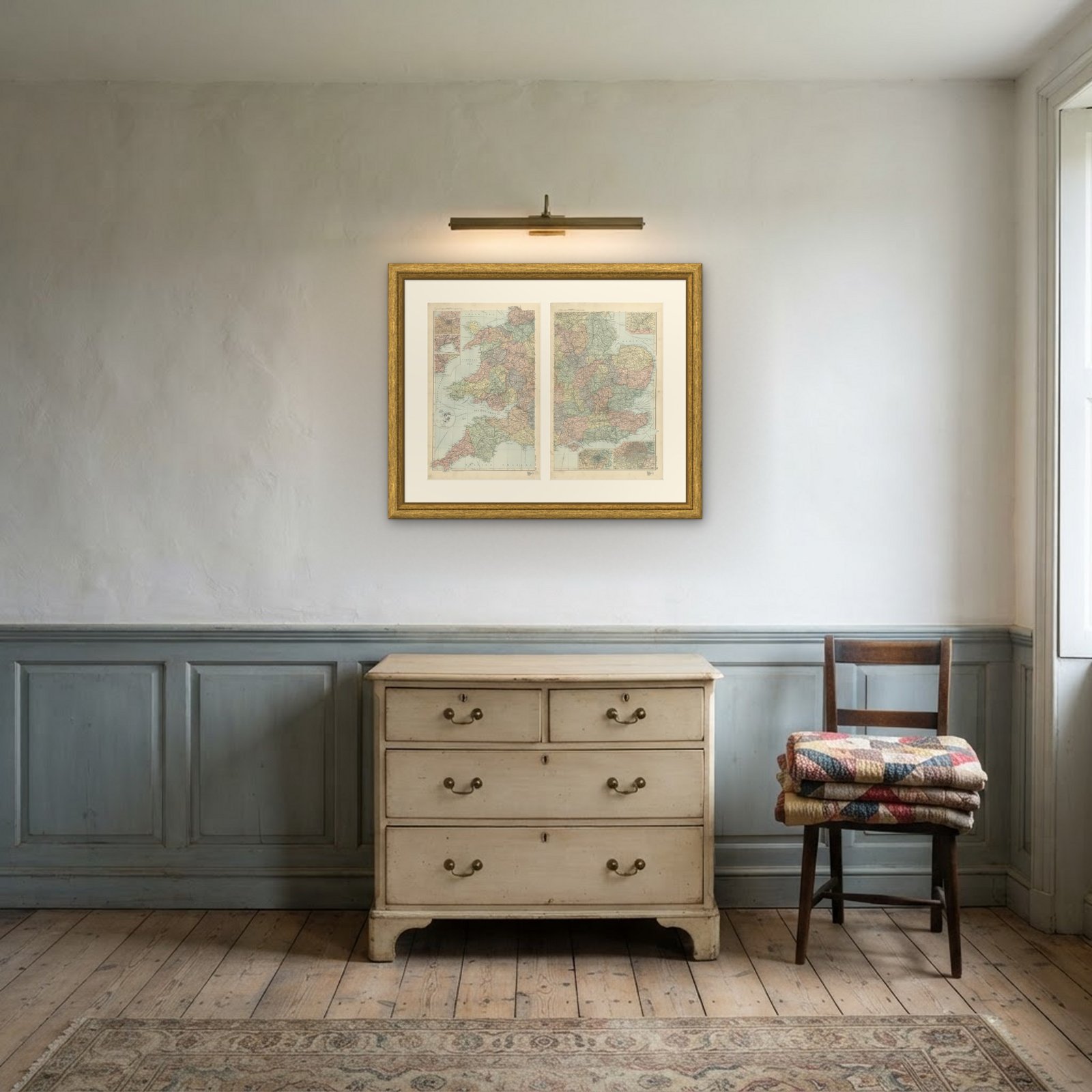 In the room 1
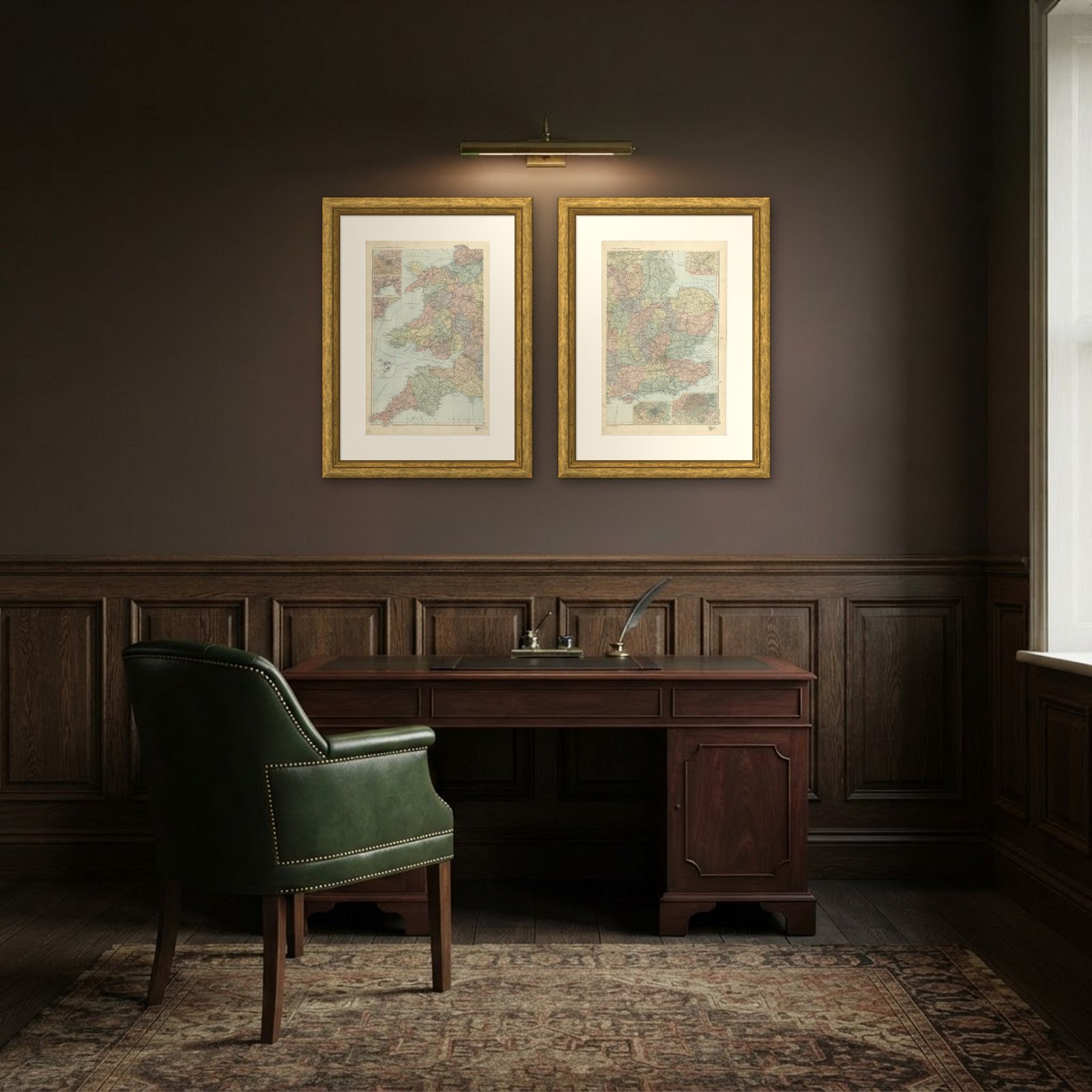
Interior designers: BarTrade members buy at their trade price. How it works
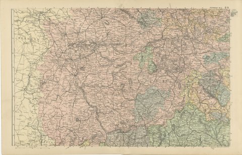
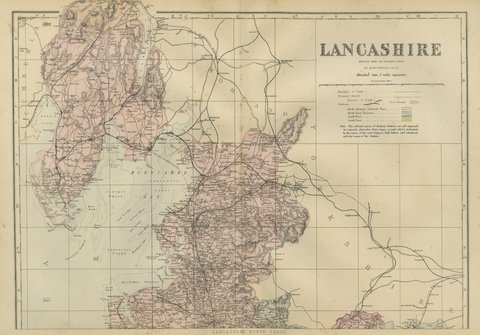
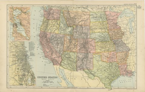
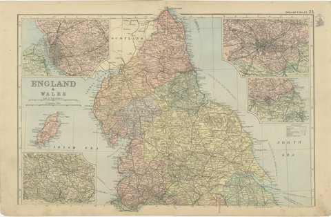
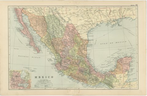
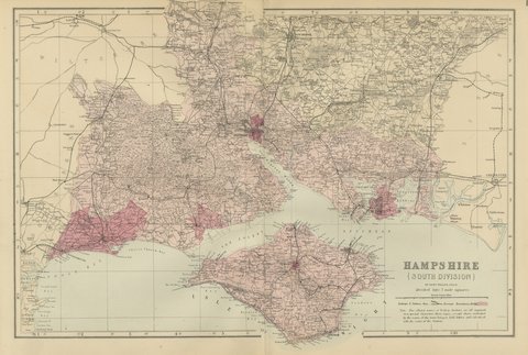
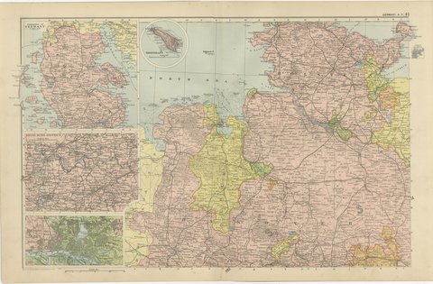
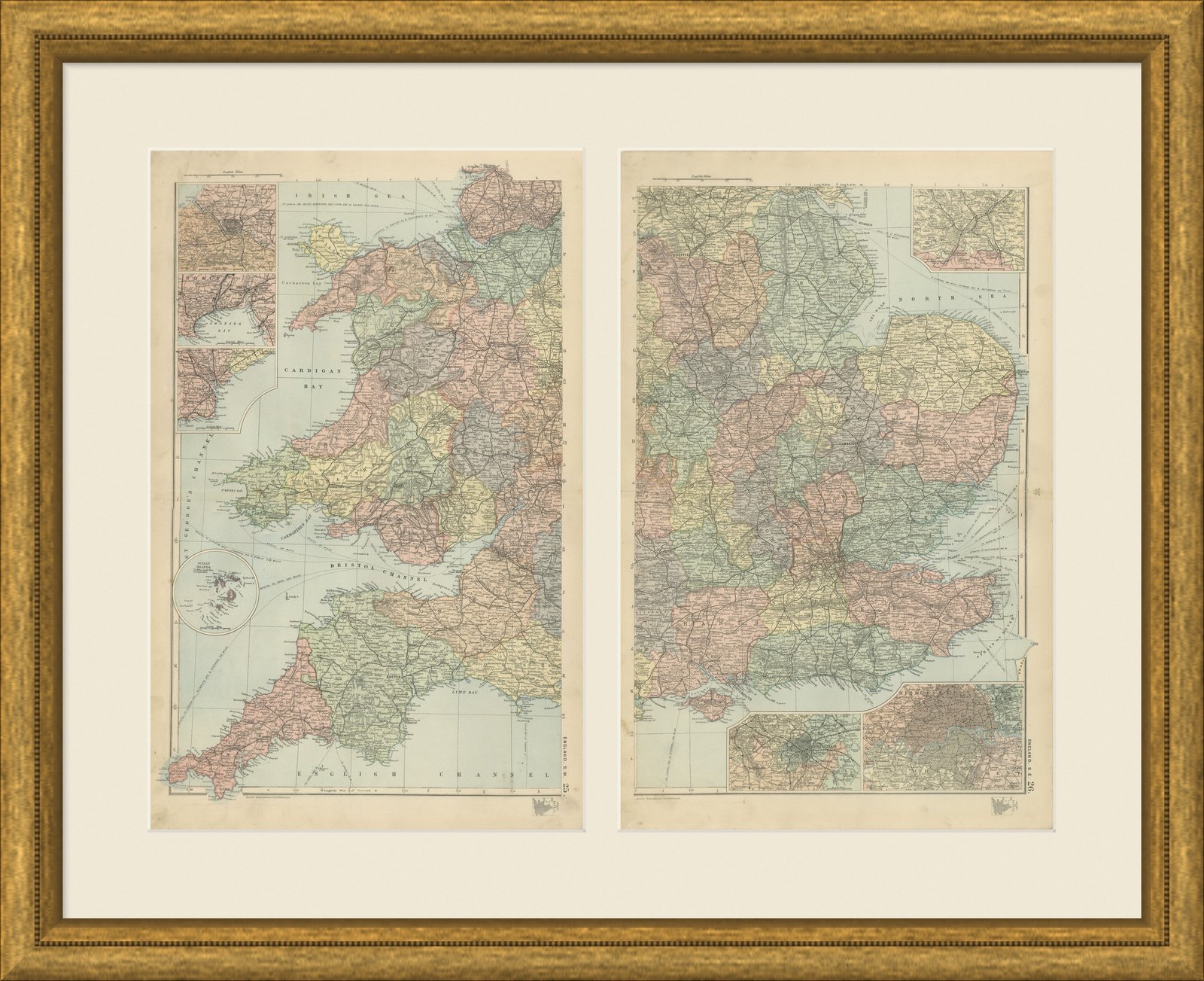
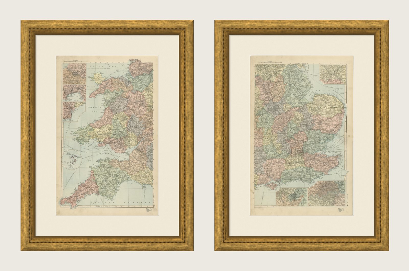
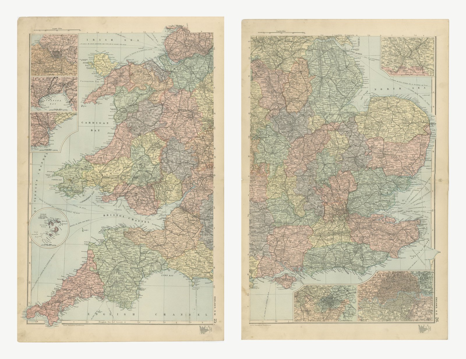
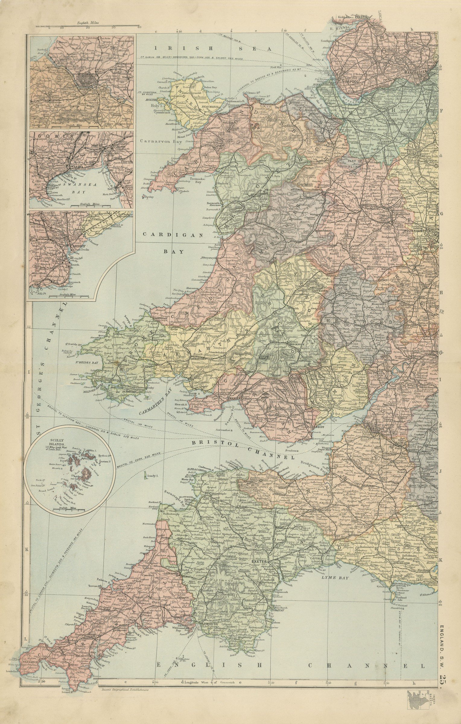
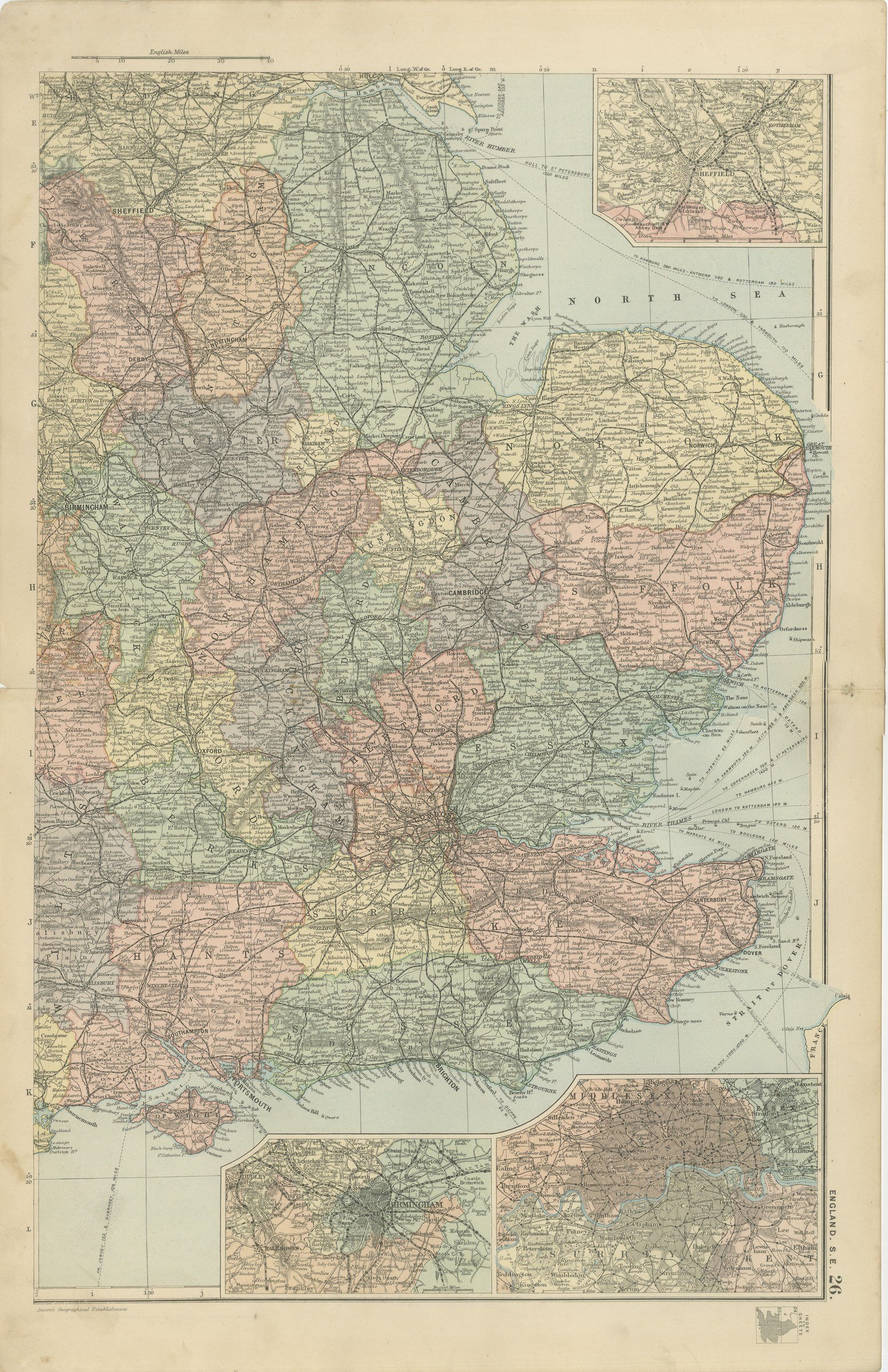
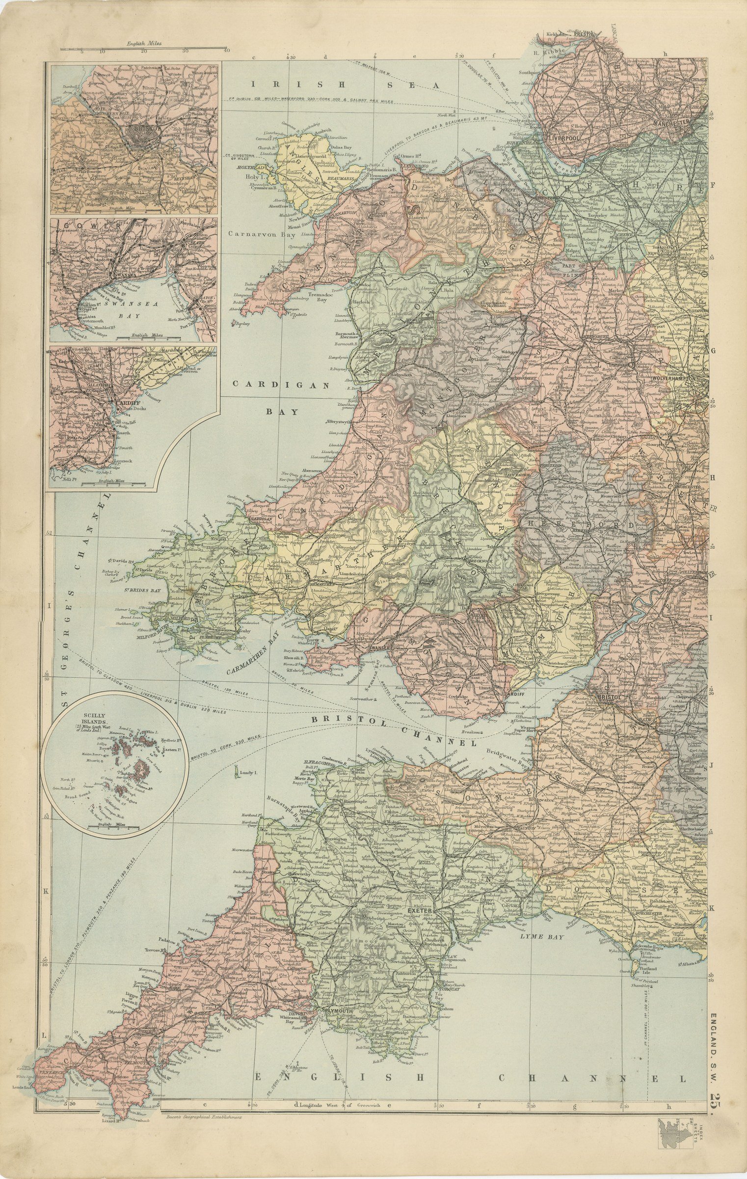
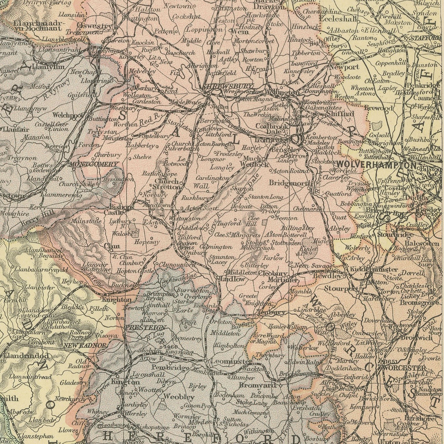
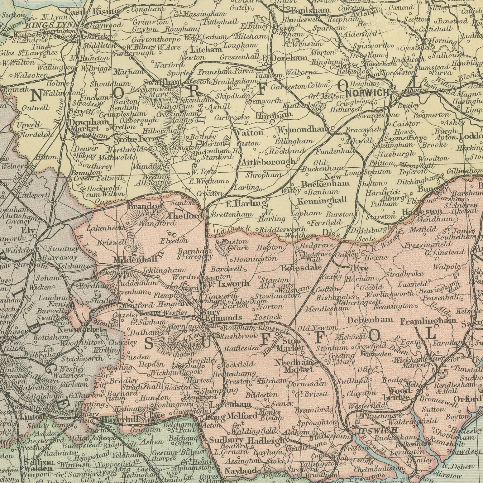
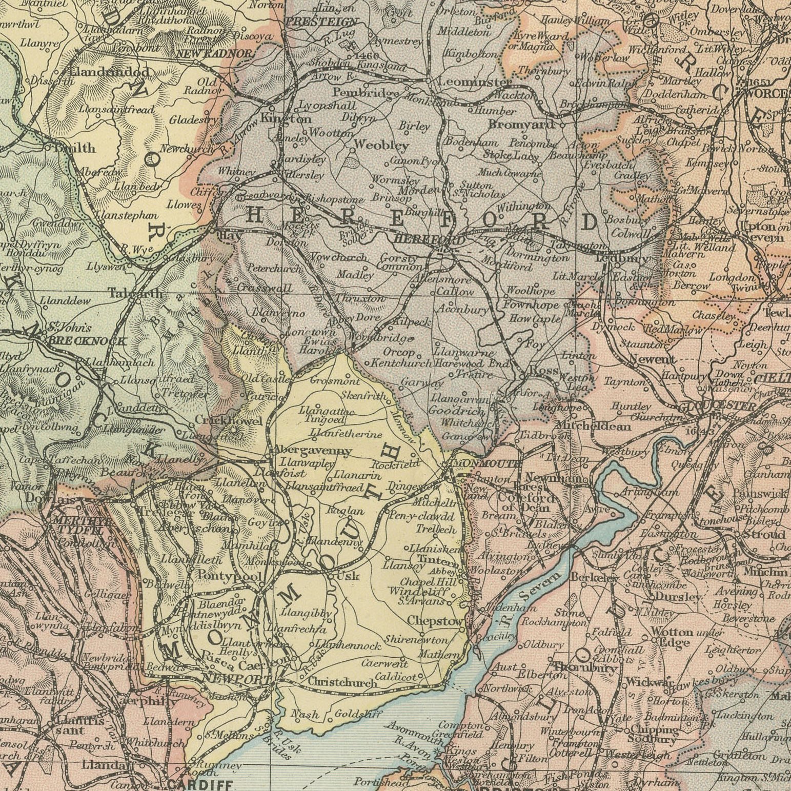
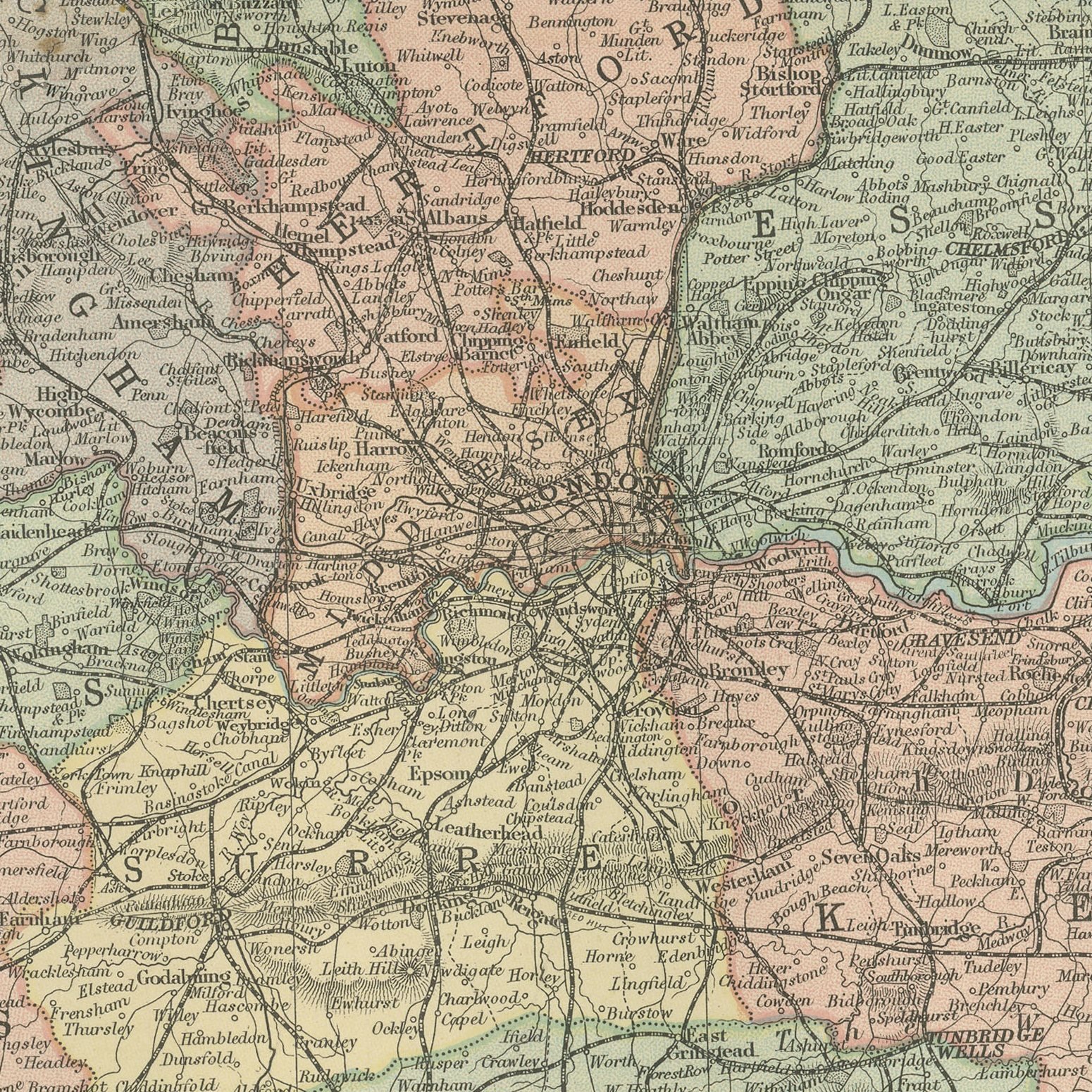
Two original antique maps of southern England, color printed in London in 1898 for G. W. Bacon's Commercial and Library Atlas of the World. These are two original sheets sold together as one set and are not offered separately. The two sheets join along a north to south line through the middle of the country: the western plate covers Wales, the Bristol Channel, Somerset, Devon and Cornwall out to the Scilly Islands, while the eastern plate carries London, the Thames estuary, Kent, Sussex, East Anglia and the Midlands as far as Sheffield and Birmingham, each with its own city inset plans. Every county is separately colored and the railway network of the 1890s is drawn in full.
The sheet was printed for the Commercial and Library Atlas of the World, the reference atlas G. W. Bacon and Company, Limited published from the Strand in London in 1898. Bacon edited it himself, and his Geographical Establishment drew, printed and colored every plate. One hundred double page maps and one hundred insets covered the whole of the known world, with the railway and steamship lines that were then remaking it marked throughout.
Neither half makes a satisfying map on its own, because each stops in the middle of the country, and together they give the whole of southern England and Wales at a scale that names villages. That is the argument for keeping them as a pair. The railway detail is the strongest feature: in 1898 the competing companies had built their last main lines and the network drawn here is the largest it ever was, before Beeching closed a third of it. The county boundaries are the old ones used before the reorganization of 1974, which makes the pair useful for family research as well as decorative.
Two sheets, both age toned. The paper darker along the edges of both. Handling wear to the corners of both. The printed images are clean.
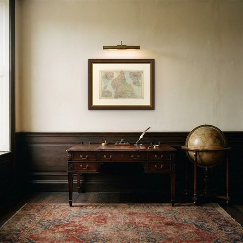
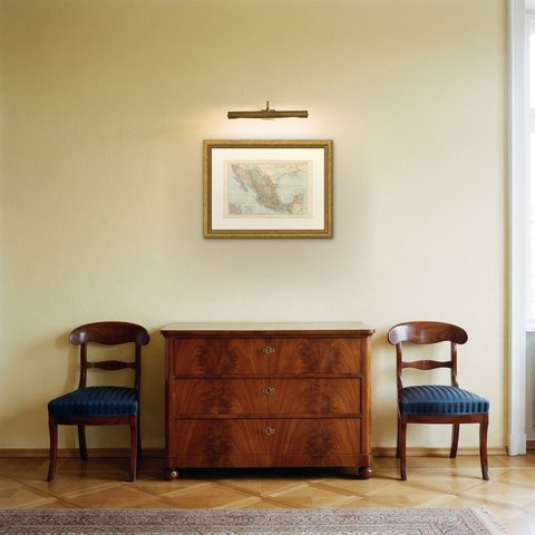
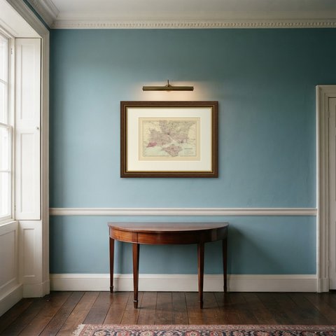
Hung in a plain frame with a generous mount, a map of this scale makes a strong center for a room, and it pairs naturally with other sheets from the same atlas if a wall calls for a group. It is equally at home in a study, a dining room or a set of offices. These are original antique maps, not modern reproductions. This item is sold unframed.