 The sheet, as you receive it
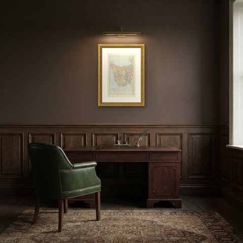
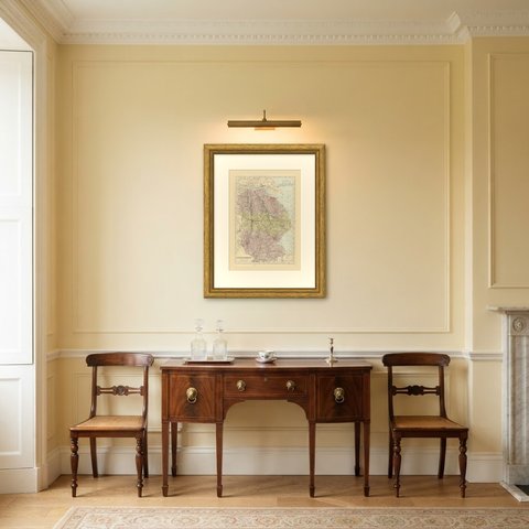
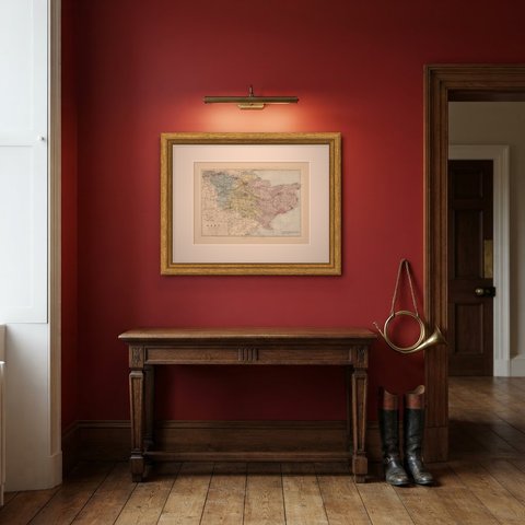
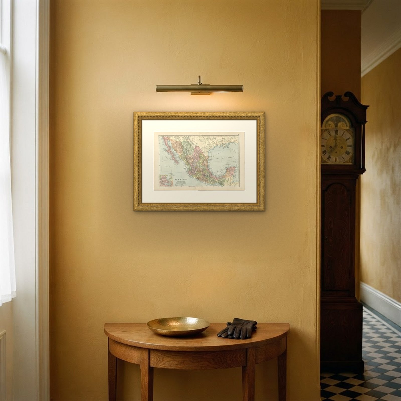
 In the room

Interior designers: BarTrade members buy at their trade price. How it works
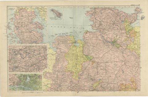
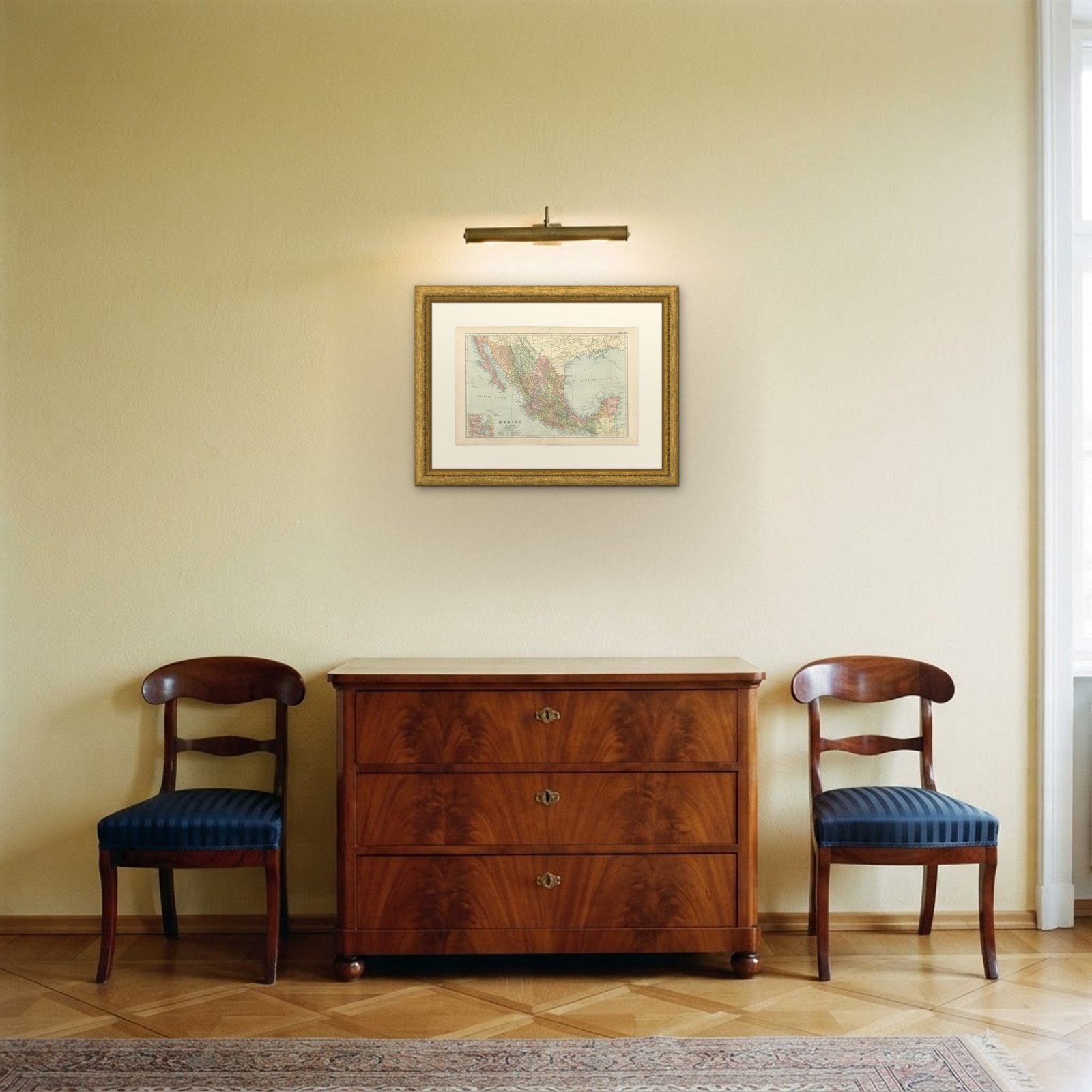
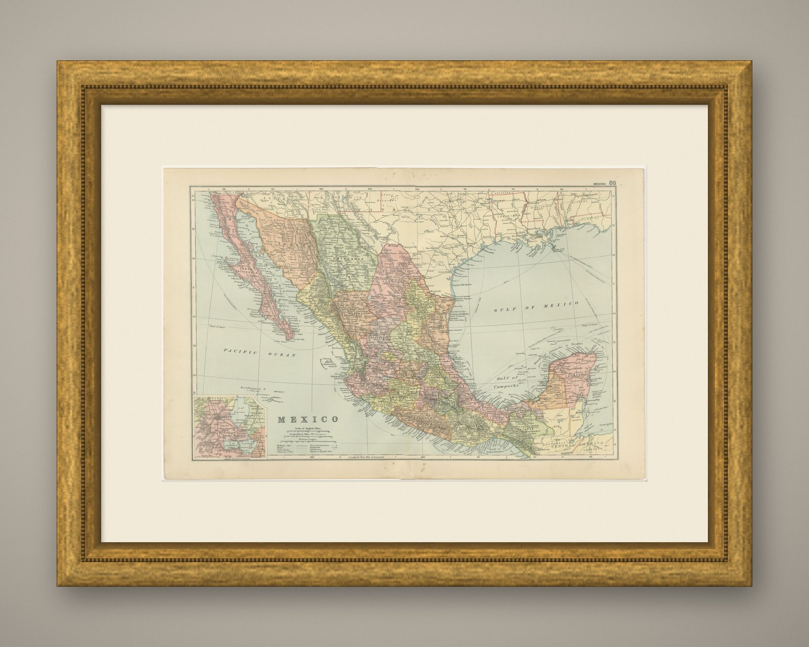
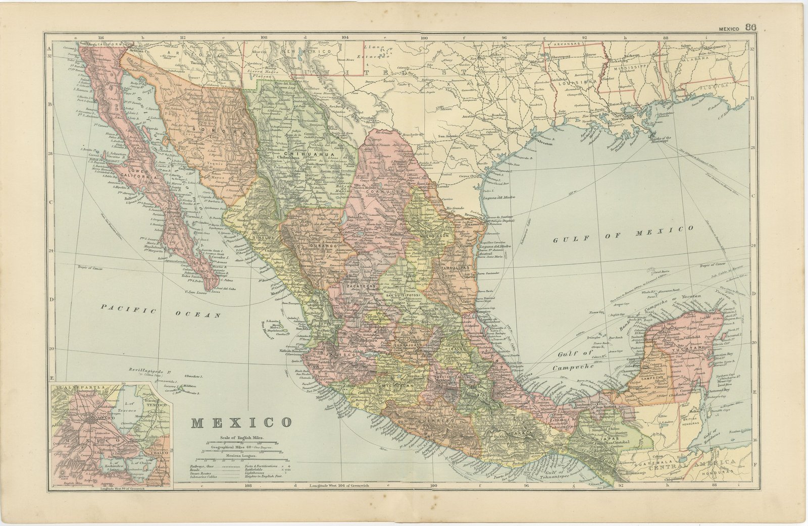
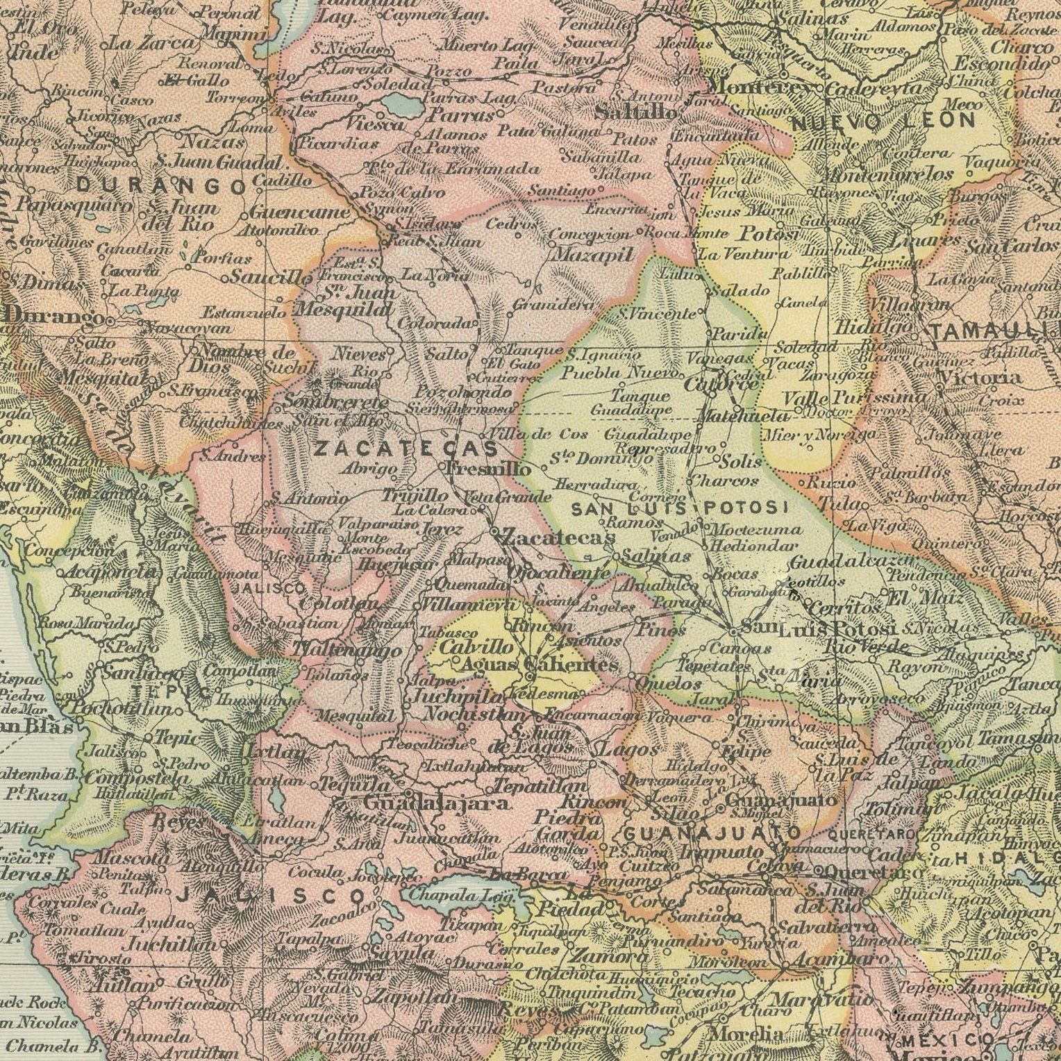
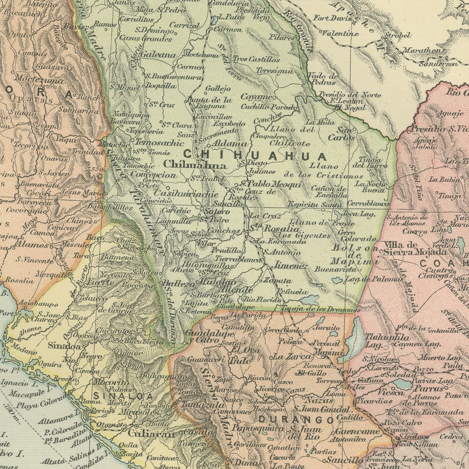
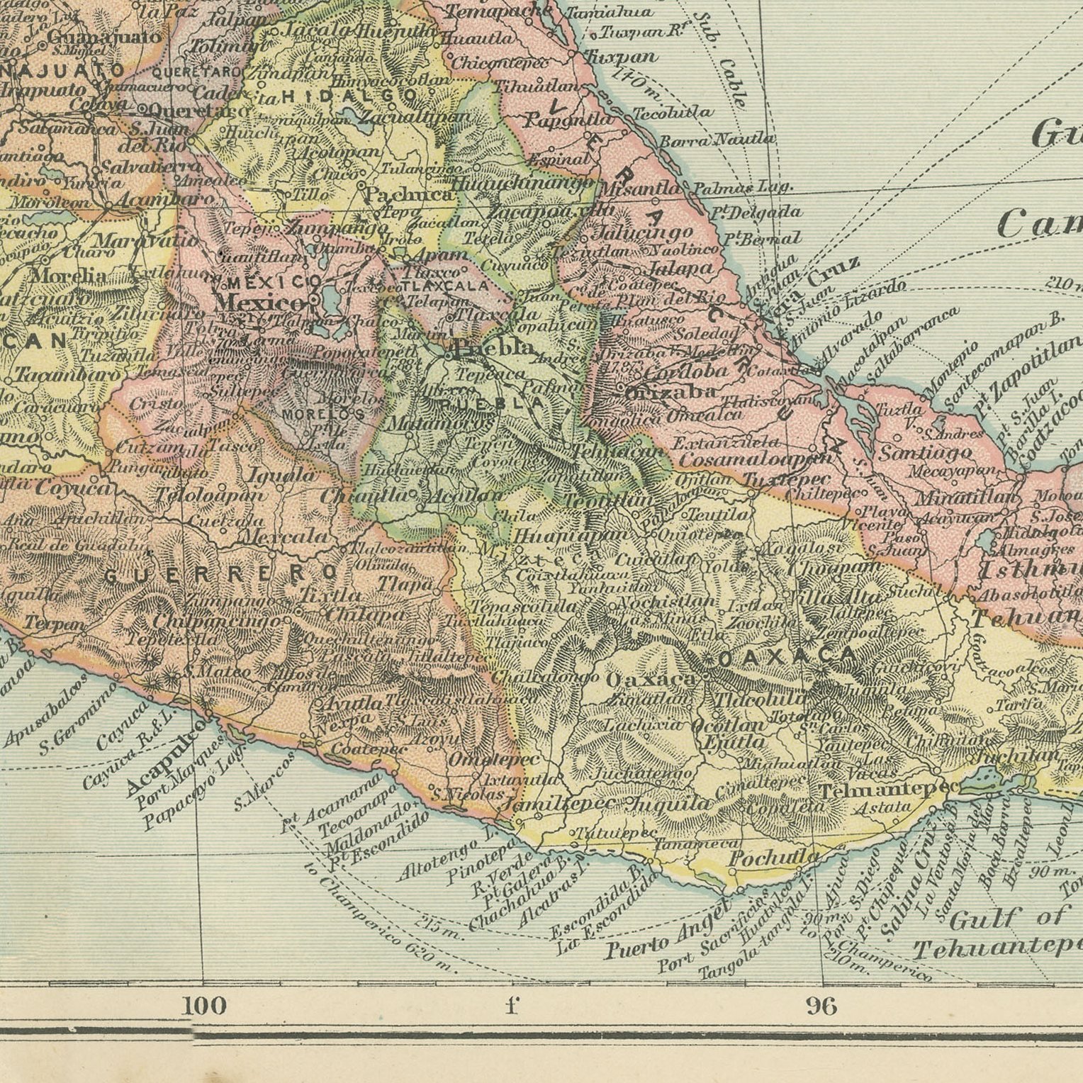
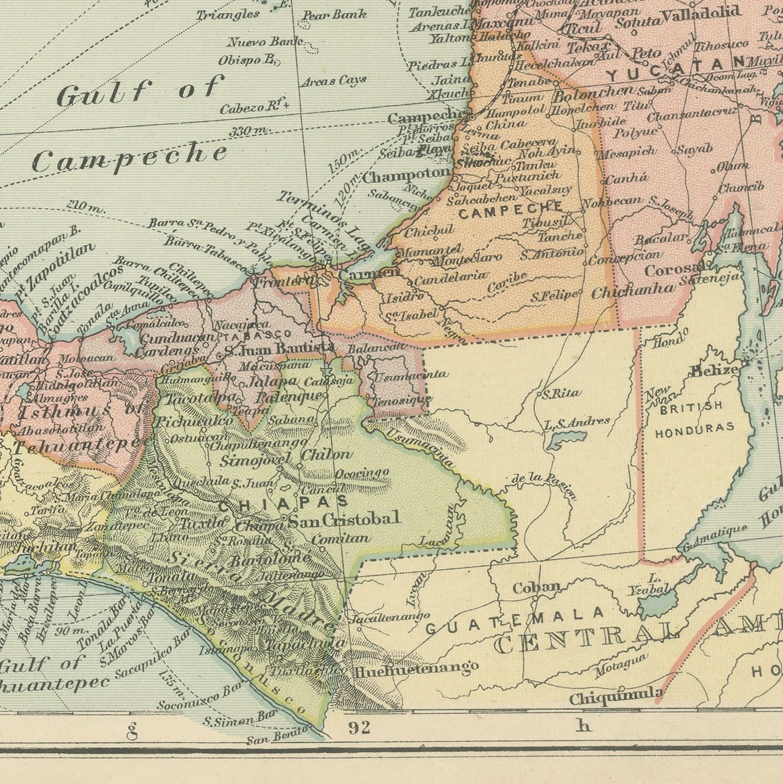
A large color printed antique map of Mexico, published in London by G. W. Bacon in 1898 for his Commercial and Library Atlas of the World. The republic fills the double page from Lower California and the Rio Grande to the Yucatan peninsula and the border of Guatemala, every state separately colored, with the Sierra Madre shaded, the Gulf and Pacific ports named and the railway lines drawn from the United States border down to the capital. An inset gives the Valley of Mexico with the city and its lakes.
The sheet comes from the Commercial and Library Atlas of the World with Index-Gazetteer, edited by George Washington Bacon, Fellow of the Royal Geographical Society, and published in London by G. W. Bacon and Company, Limited, of 127 Strand, in 1898. The atlas gathered one hundred double page maps and one hundred inset maps with an alphabetical index of fifty thousand places and a gazetteer of two thousand towns, and it was sold to merchants, shipping houses and subscription libraries that needed the world kept current rather than kept beautiful.
This is Mexico under Porfirio Diaz at the height of the Porfiriato, when foreign capital laid the railways that cross this sheet and the revolution was still twelve years away. The Valley of Mexico inset shows Lake Texcoco and Lake Chalco still holding water beside the capital, before the drainage works emptied them. Mexican maps of this generation sell steadily on both sides of the border, and the state boundaries are the modern ones.
Light overall age toning, with light handling wear at the top right corner. The printed image itself is clean.
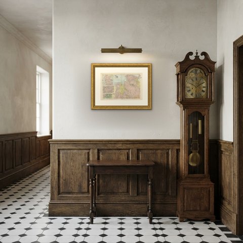
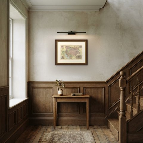
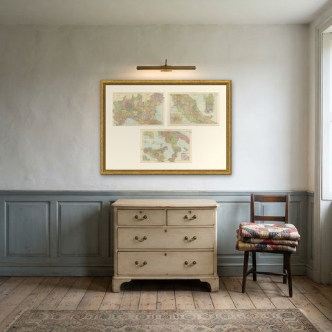
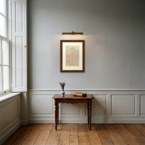
A map like this rewards close looking, so hang it where people pass near it: a hall, a landing, a study or a meeting room. The printed color is soft and the lettering fine, and it sits comfortably beside both antique and modern furniture. This is an original antique map, not a modern reproduction. This item is sold unframed.