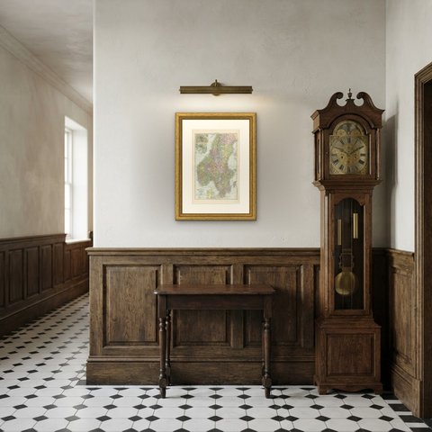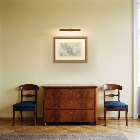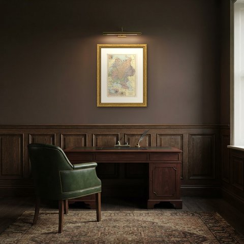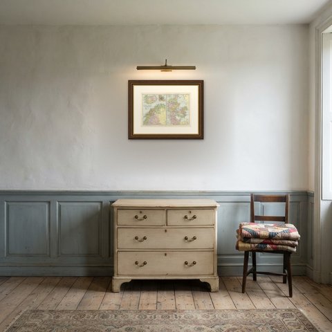
 The sheet, as you receive it
 In the room
Interior designers: BarTrade members buy at their trade price. How it works
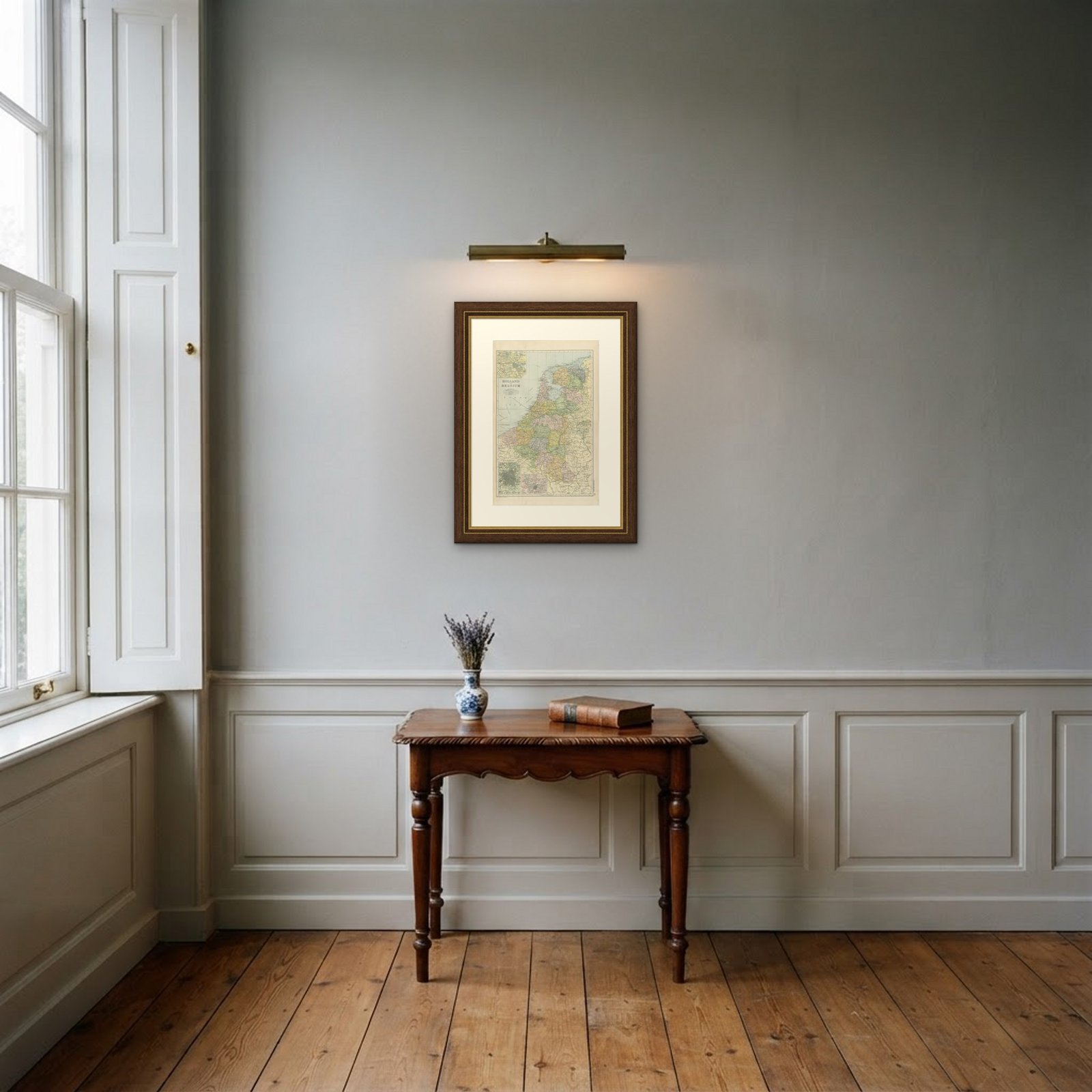
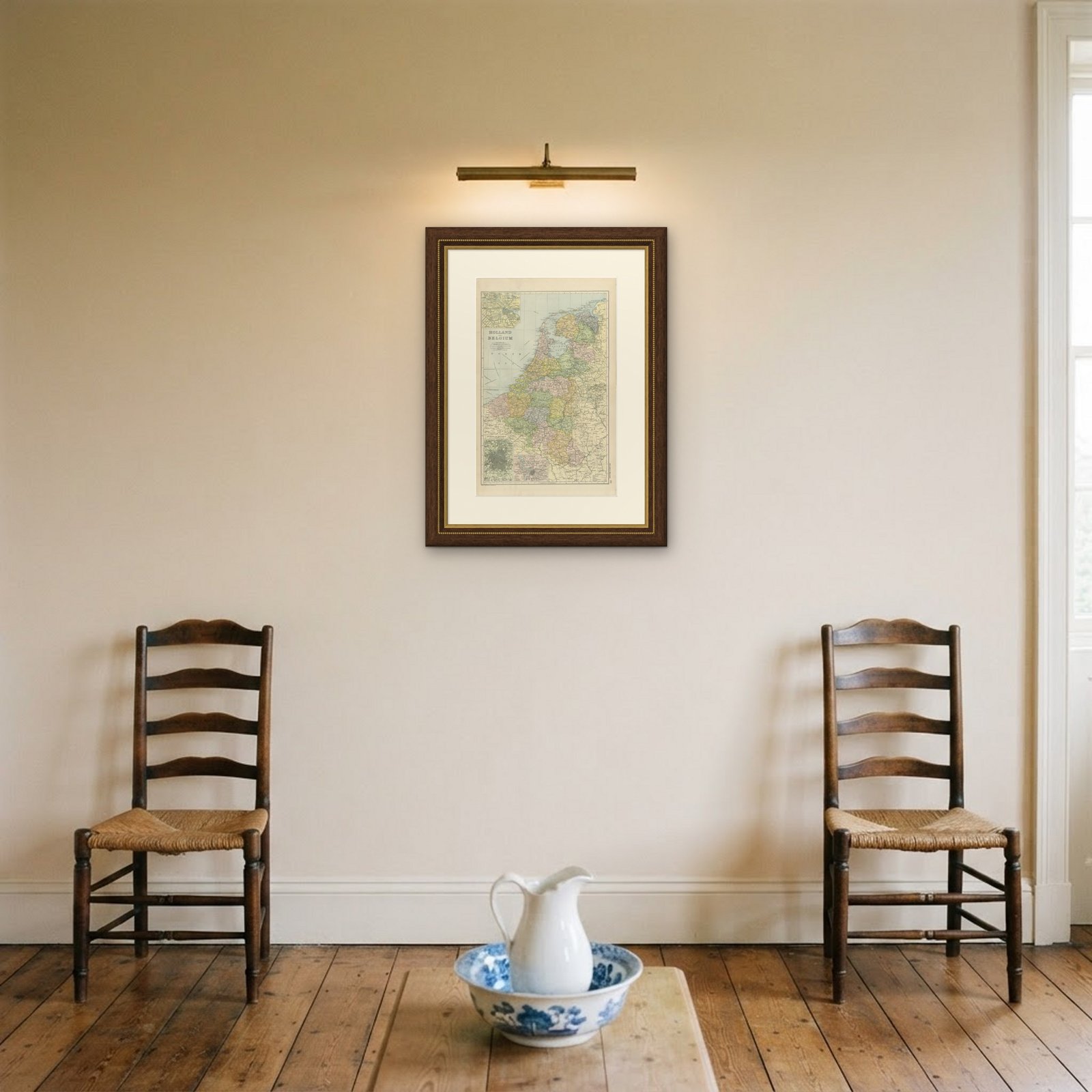
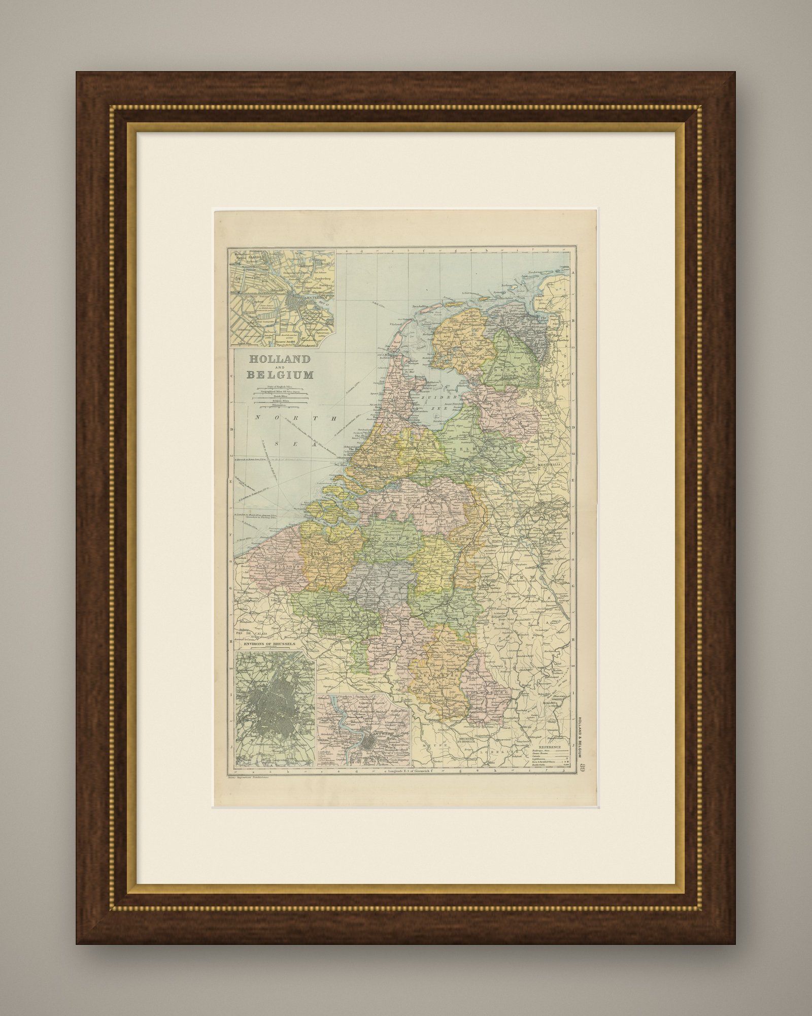
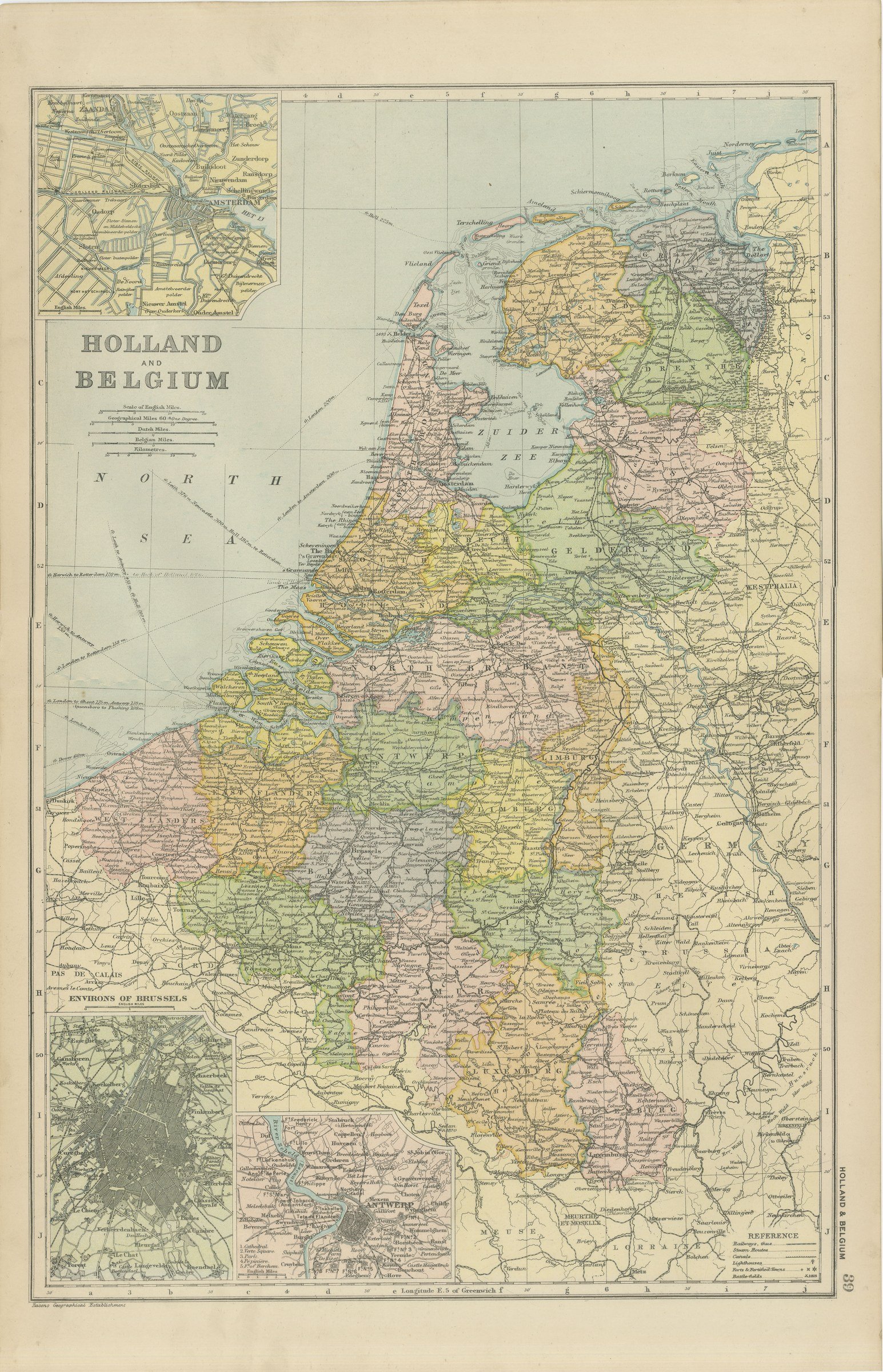
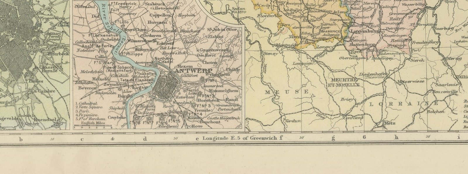
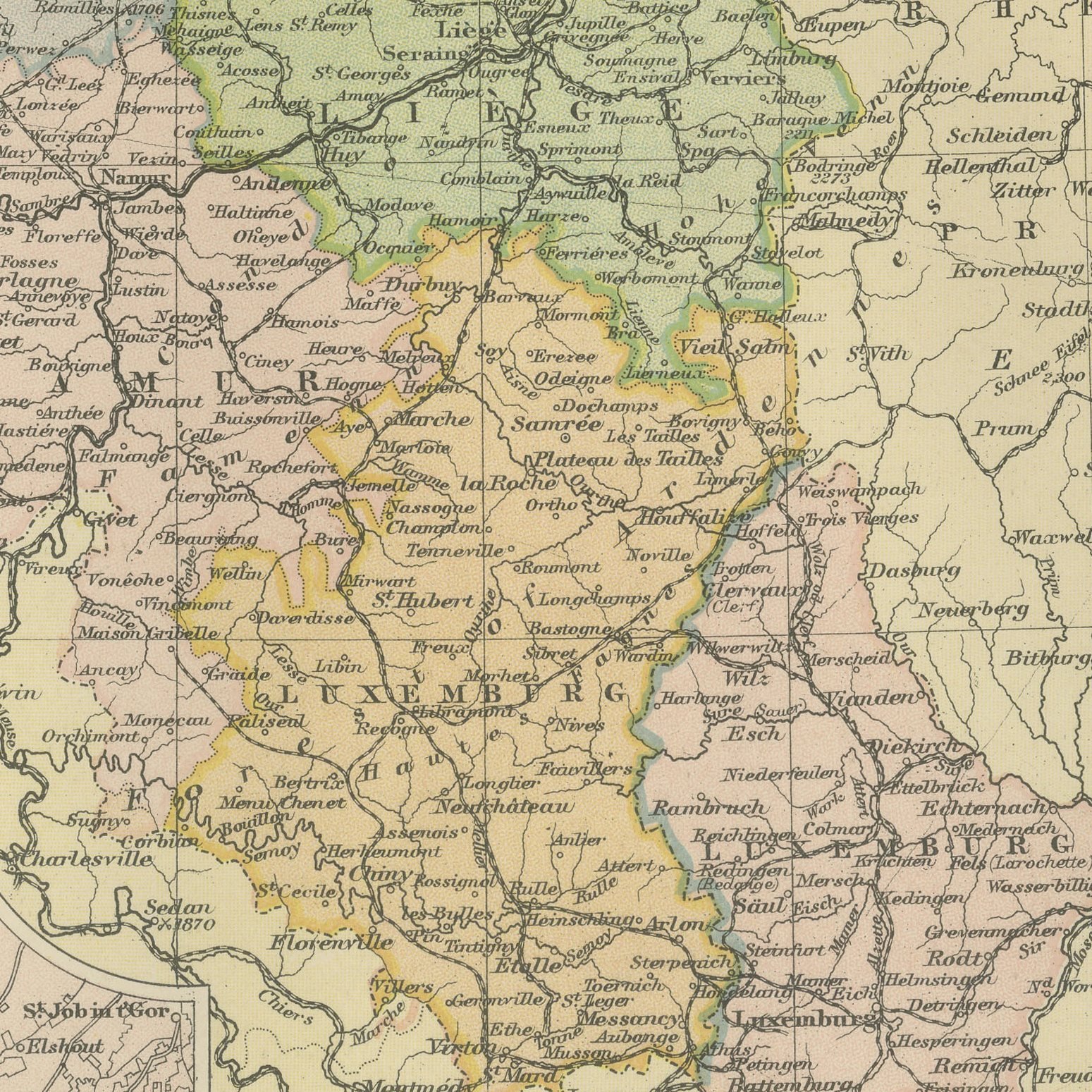
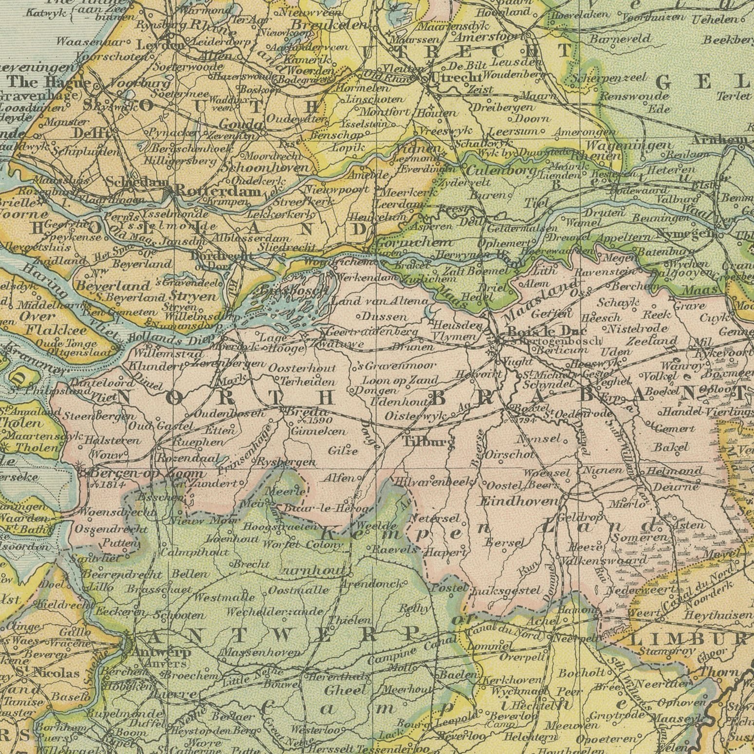
Original antique map of Holland and Belgium from the 1898 Commercial and Library Atlas of the World, edited by G. W. Bacon in London and printed in color. The Low Countries fill an upright double page, every Dutch and Belgian province in its own color, the polders, dykes and canals drawn in detail, and the dense railway and tramway network marked throughout. Three insets give plans of Amsterdam, Antwerp and the environs of Brussels.
This map was issued in the Commercial and Library Atlas of the World, published by G. W. Bacon and Company, Limited, London, in 1898. Bacon's house built its reputation on large, densely lettered commercial maps rather than on decorative cartography, and this atlas was its reference volume: one hundred double page maps and one hundred insets, each carrying the railways, steamer routes, submarine cables and administrative boundaries that a trading nation wanted at the end of the nineteenth century.
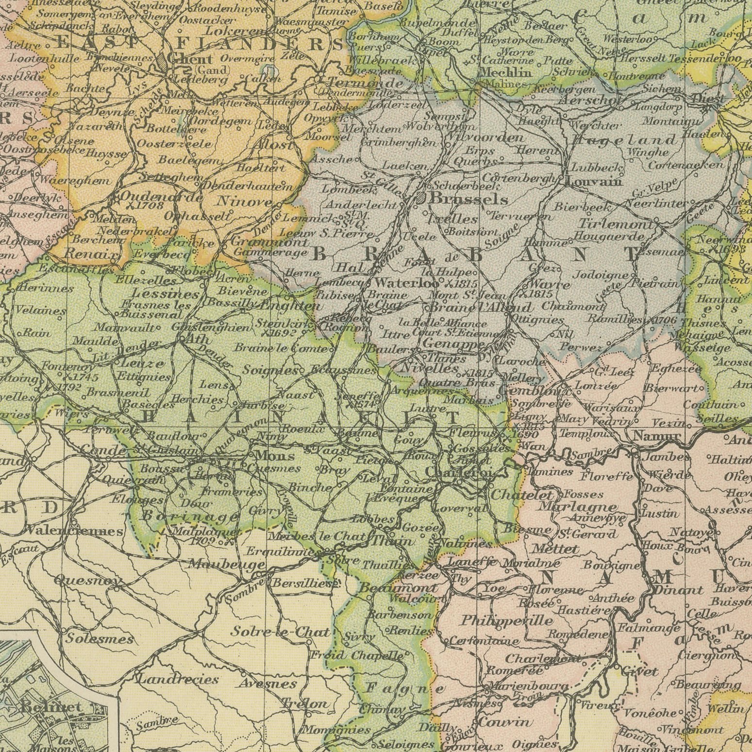
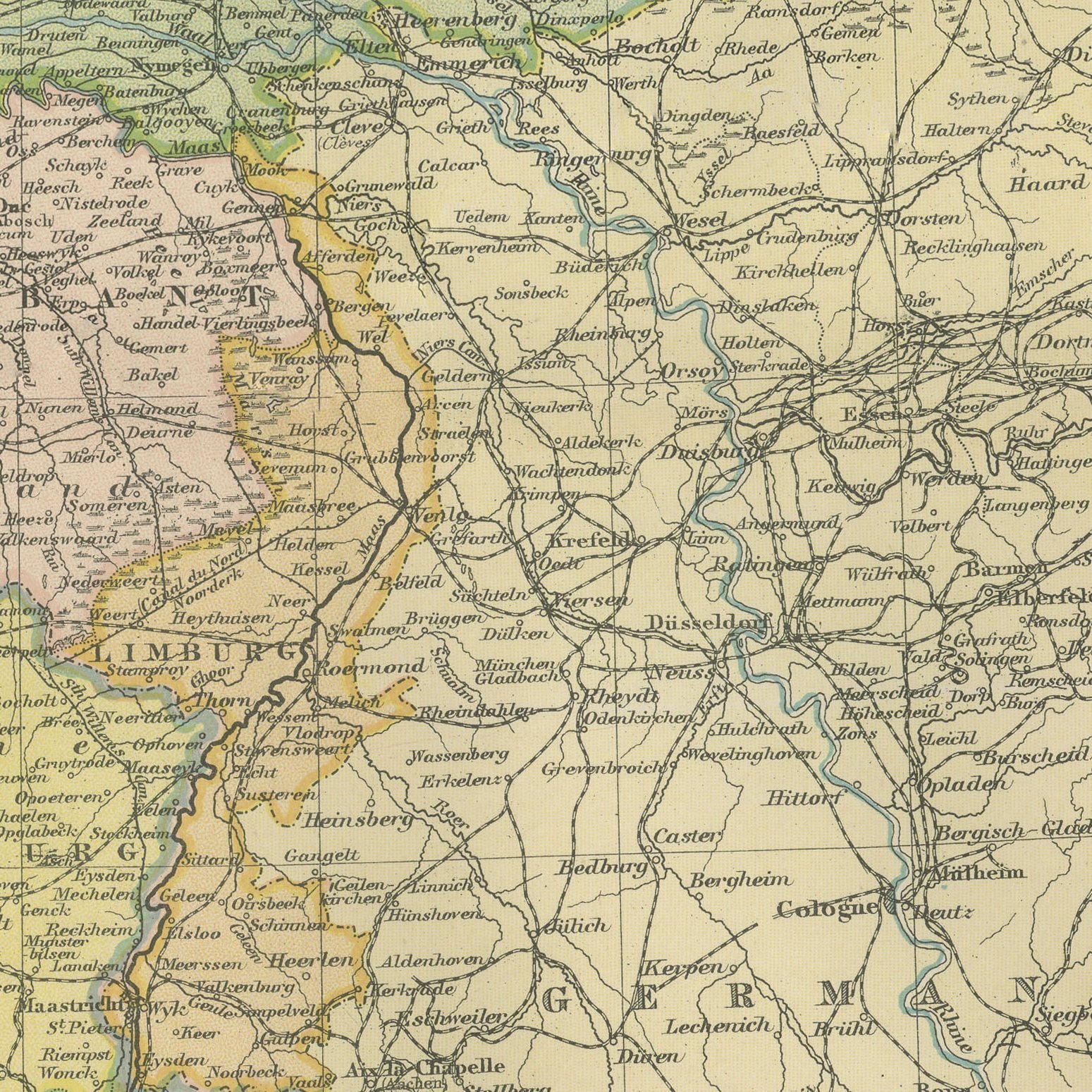
A Netherlands and Belgium sheet of this date is a working map of the busiest small corner of Europe: Rotterdam and Antwerp were among the first ports of the continent, and the map shows the waterways that fed them. The Zuider Zee is still open water, sixty years before it was closed and drained, which alone dates the sheet at a glance and makes it a favorite with Dutch buyers. Province boundaries and village names are legible enough for family research.
Moderate overall age toning, with the paper darker along the right edge and a few handling marks in the margins. The printed image itself is clean.
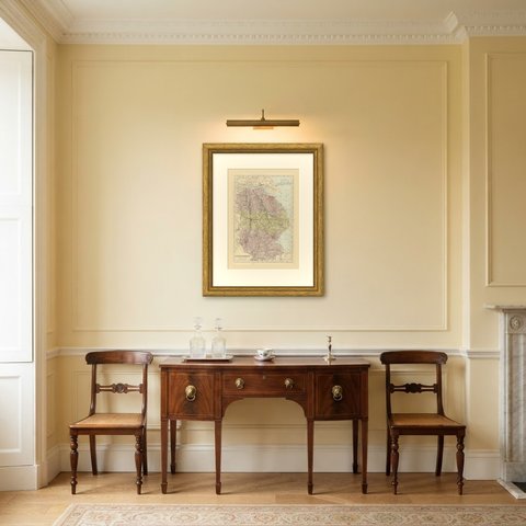
The sheet is large enough to carry a chimney breast or a stairwell and quiet enough in color to sit with books and furniture rather than compete with them. Collectors of Victorian cartography, interior designers and anyone with a tie to the region will find a use for it. This is an original antique map, not a modern reproduction. This item is sold unframed.