 The sheet, as you receive it
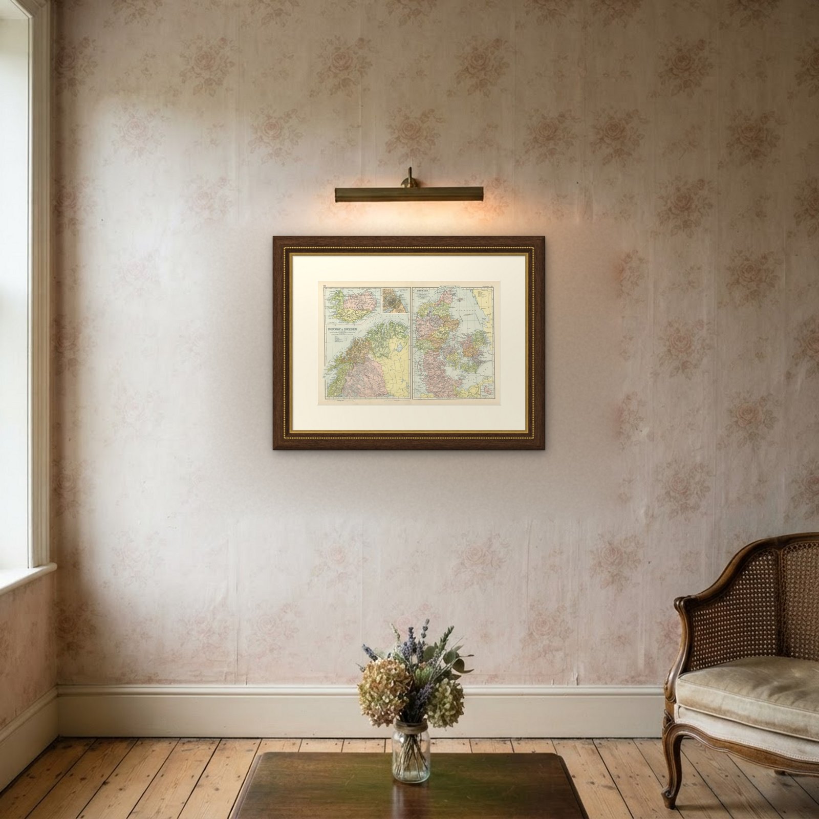
 In the room

Interior designers: BarTrade members buy at their trade price. How it works
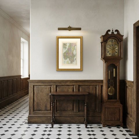
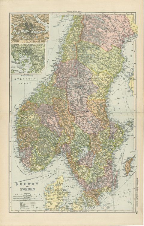
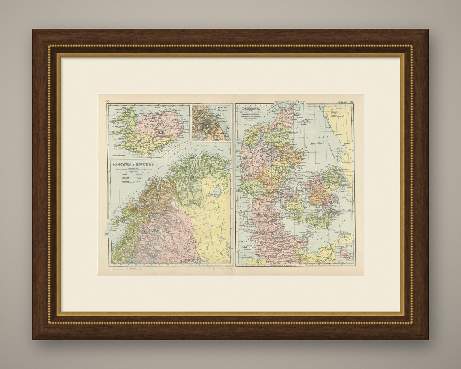
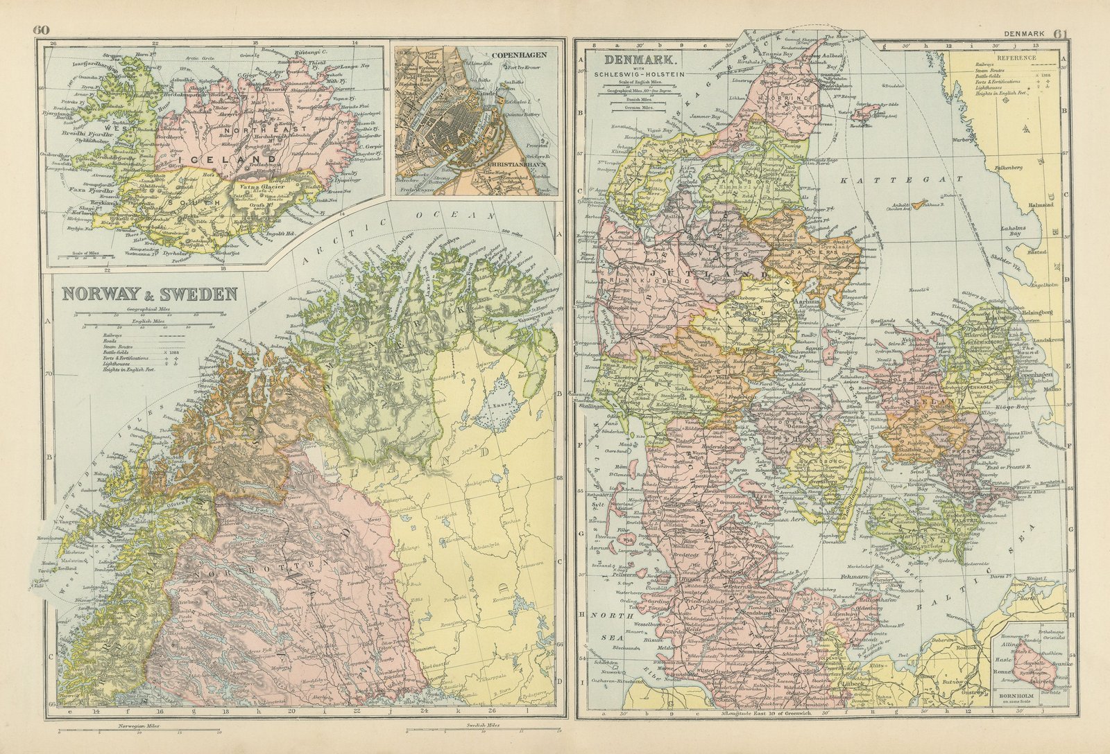
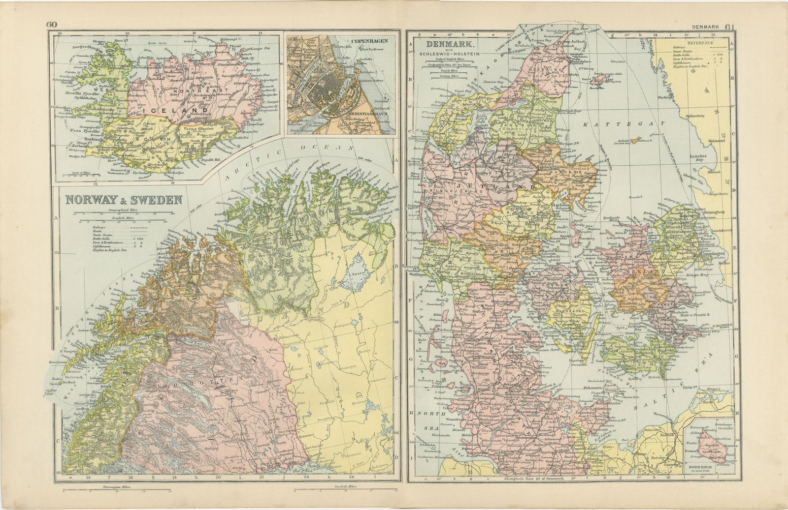
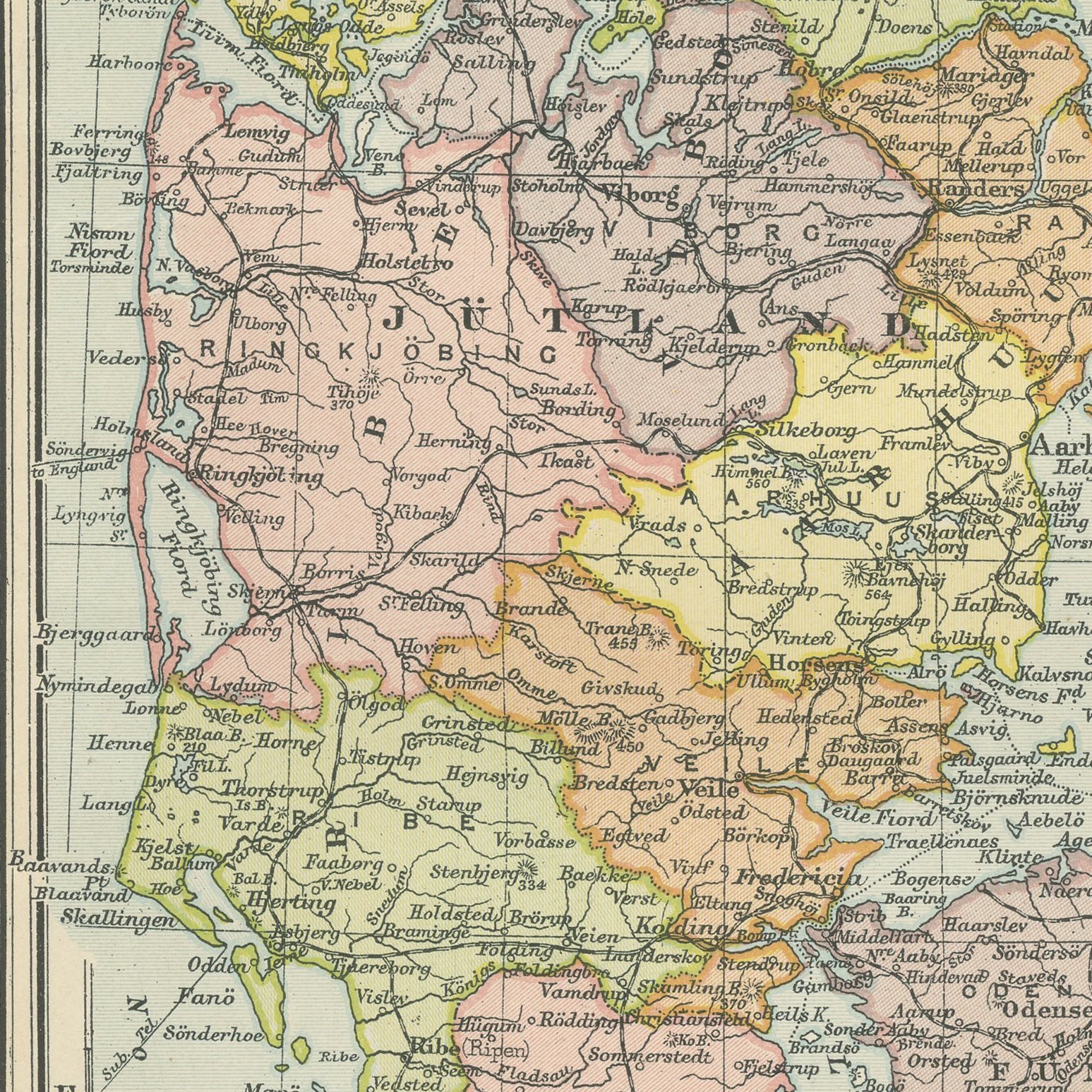
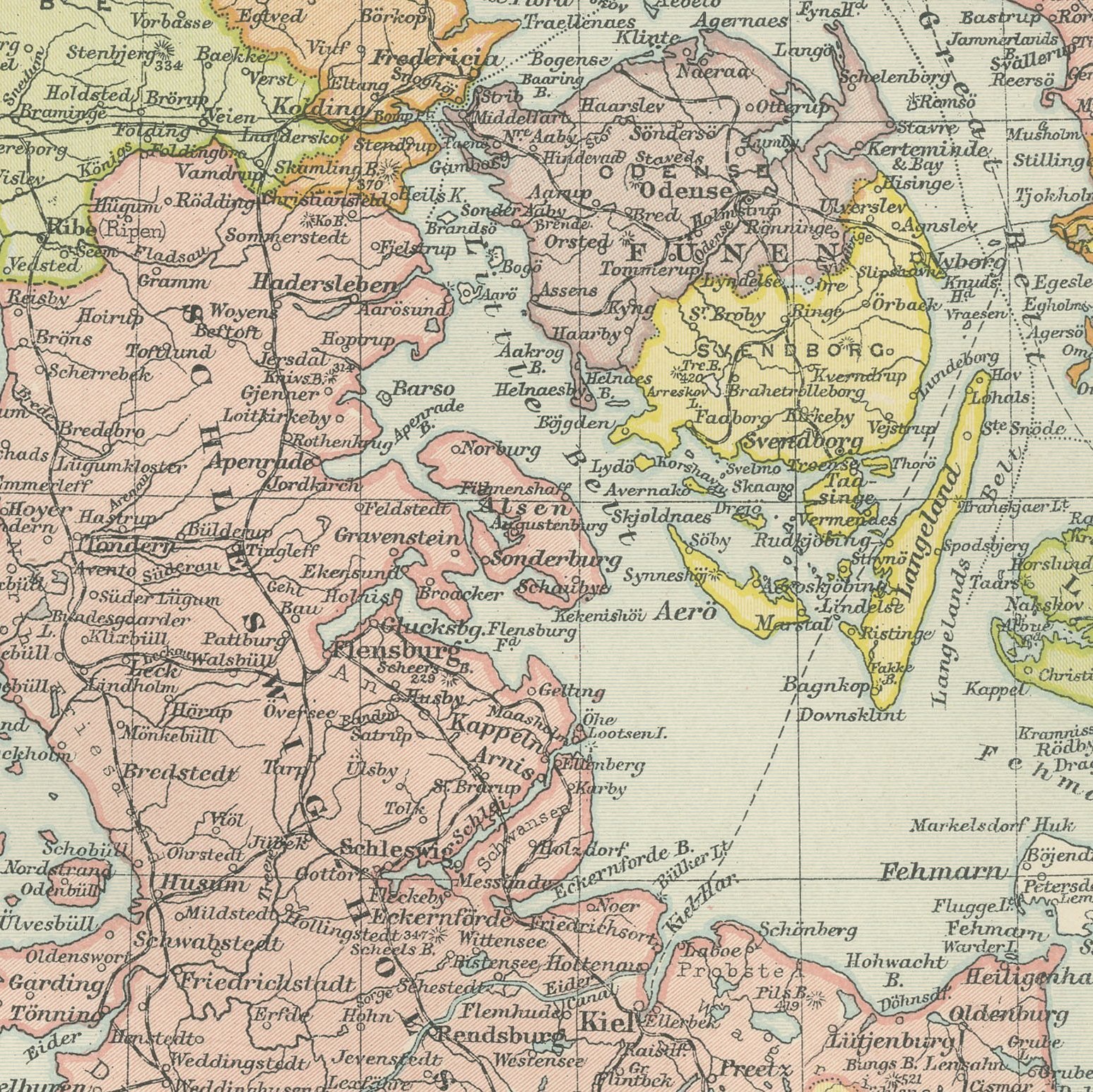
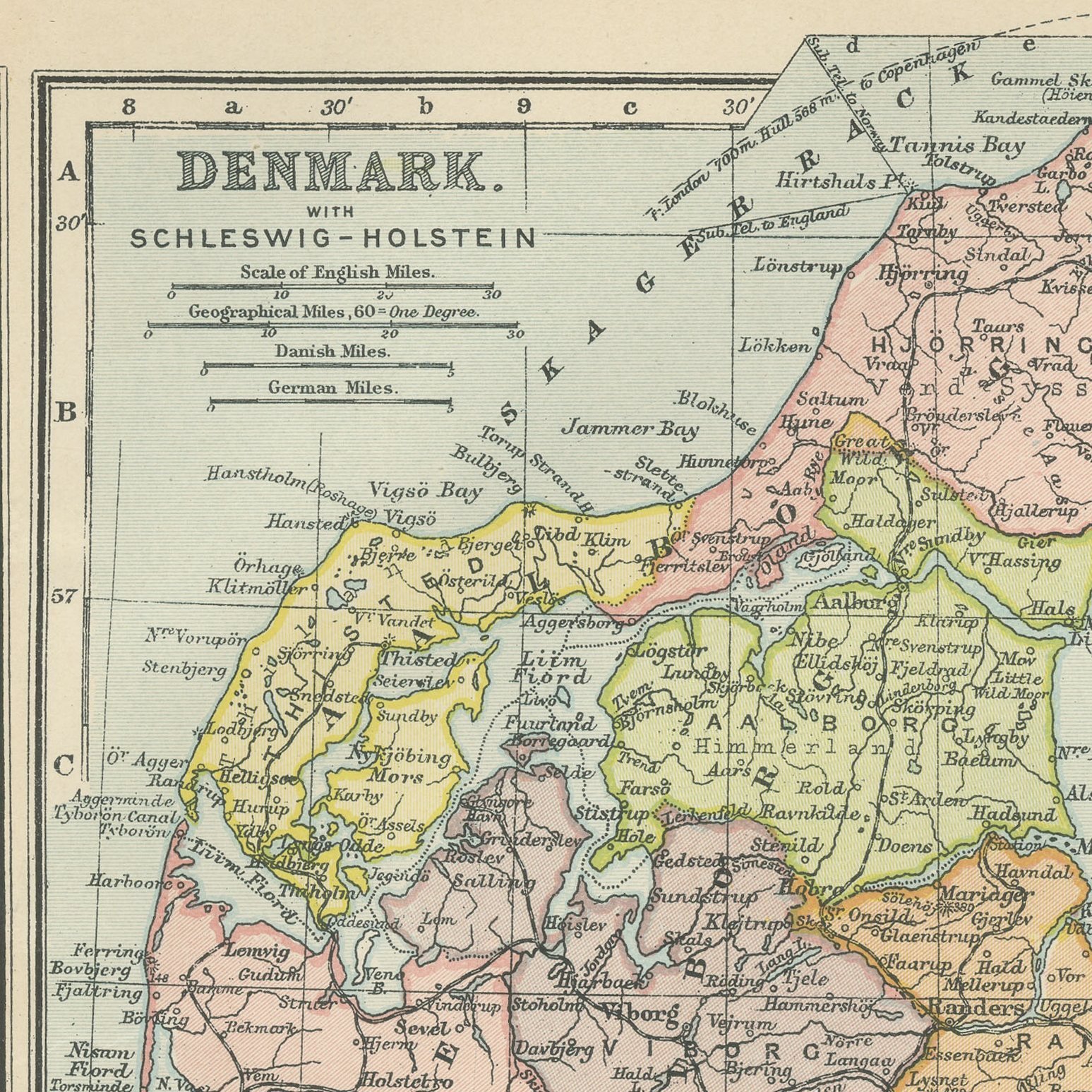
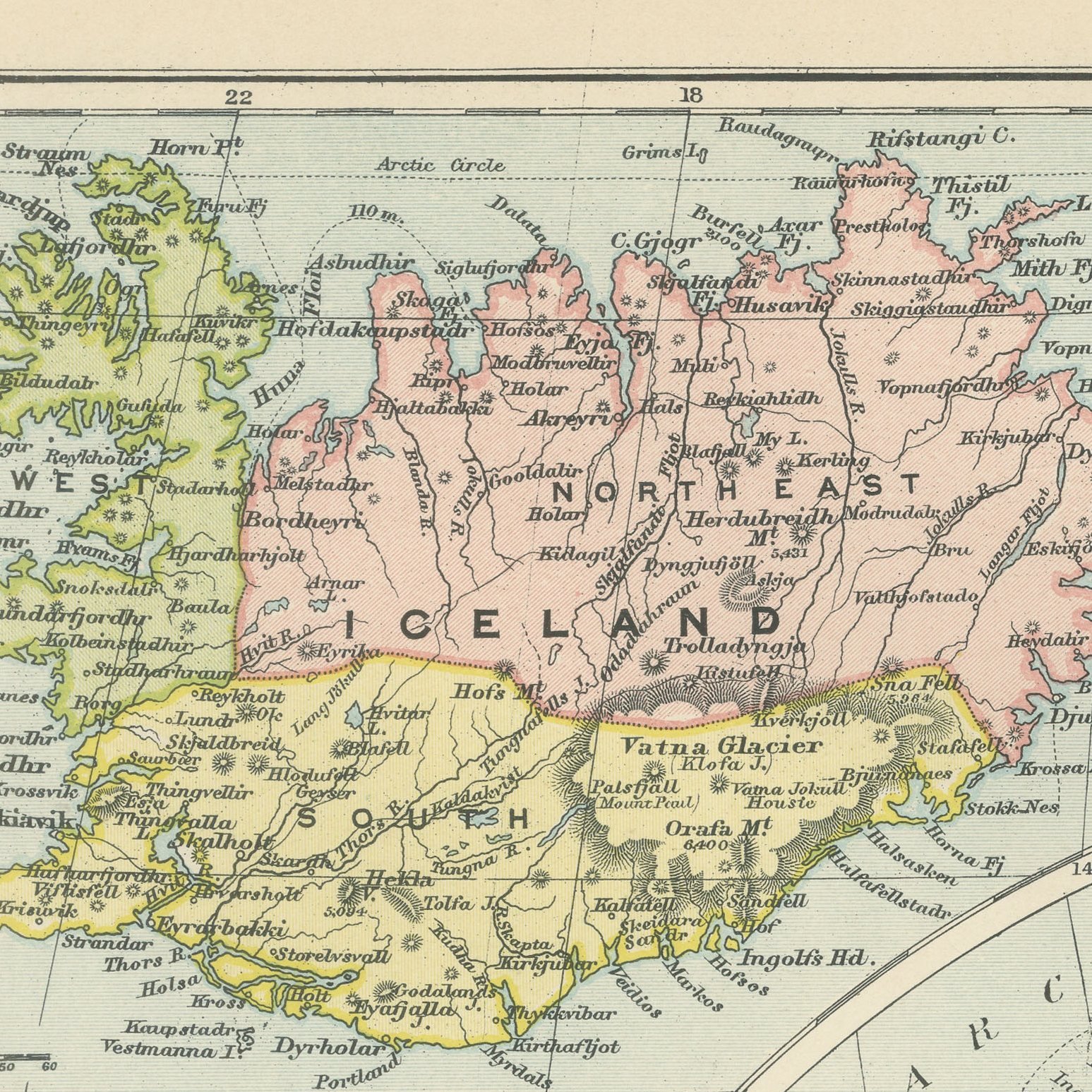
A large color printed antique sheet carrying two separate maps, published in London by G. W. Bacon in 1898 for his Commercial and Library Atlas of the World. The left page maps northern Norway and Sweden from Trondhjem to the North Cape, with Lapland, Finmark and the Lofoten coast, and carries inset maps of Iceland and a plan of Copenhagen. The right page is a complete map of Denmark with Schleswig-Holstein, every island named from Jutland to Bornholm.
Bacon's Commercial and Library Atlas of the World appeared from 127 Strand in 1898, edited by George Washington Bacon, an American who settled in London and built one of the busiest map houses in Victorian Britain. The volume ran to one hundred double page maps and one hundred insets, backed by an index of fifty thousand places, and its plates were drawn, printed and colored at Bacon's own Geographical Establishment, whose imprint appears in the lower margin of the sheets.
Two maps on one leaf is unusual and makes this a better buy than either would be alone, since a single frame holds the far north and the whole of Denmark. Schleswig and Holstein are shown under German rule, as they were from 1864 until the plebiscite of 1920 returned the northern part to Denmark, so the sheet records a border that mattered a great deal to the people living along it. The Iceland inset names the fiords and the volcanic interior.
Light overall age toning, with the paper darker along the top and bottom edges and a few handling marks in the margins. The printed image itself is clean.
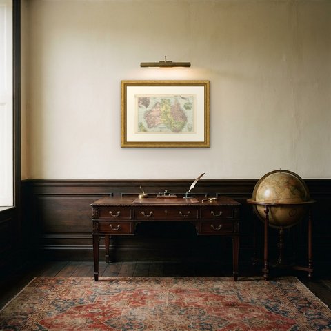
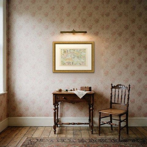
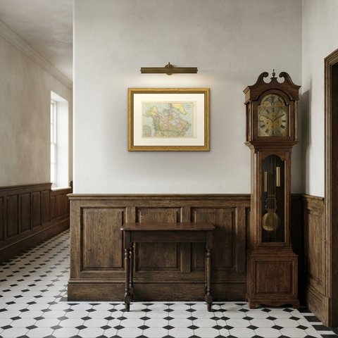
A map like this rewards close looking, so hang it where people pass near it: a hall, a landing, a study or a meeting room. The printed color is soft and the lettering fine, and it sits comfortably beside both antique and modern furniture. This is an original antique map, not a modern reproduction. This item is sold unframed.