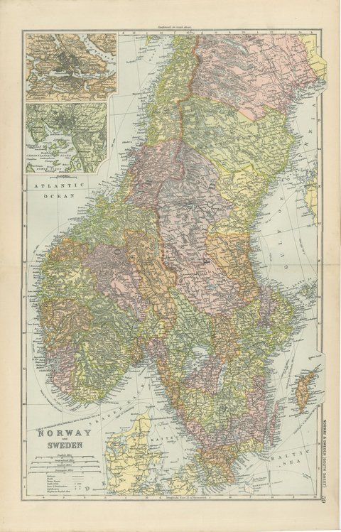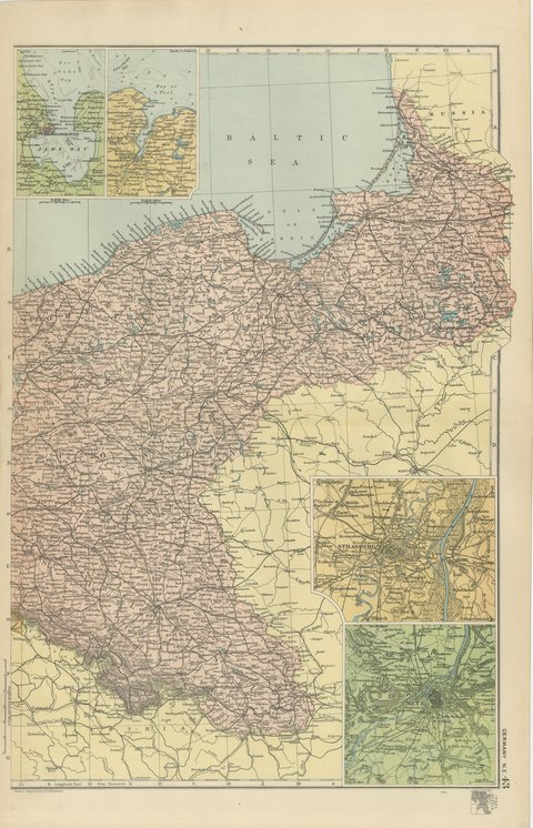
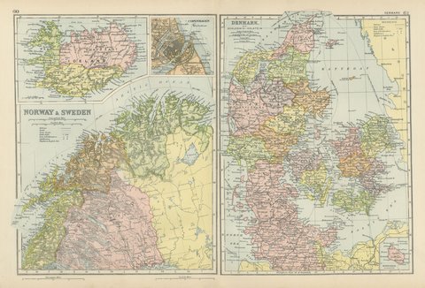
 The sheet, as you receive it
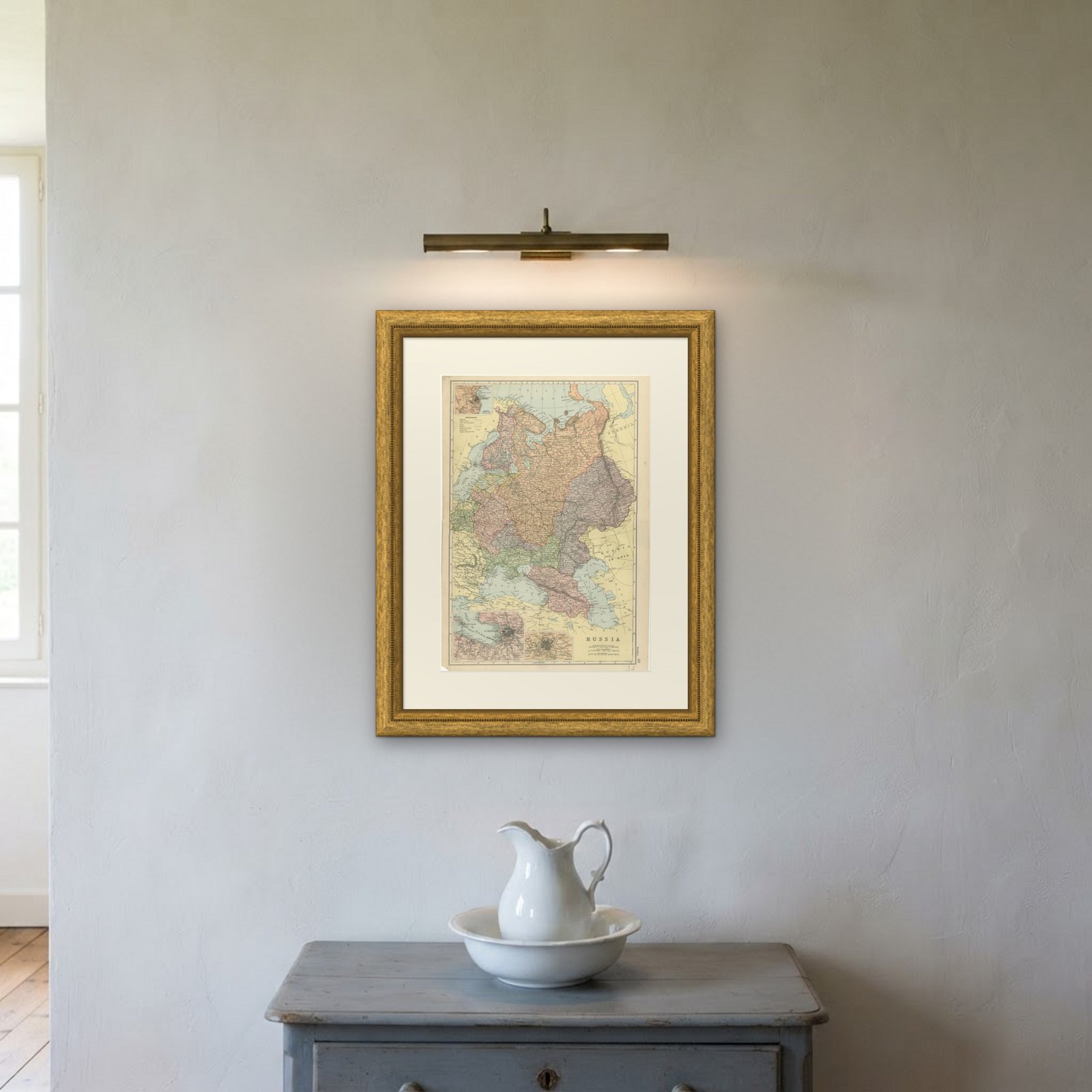
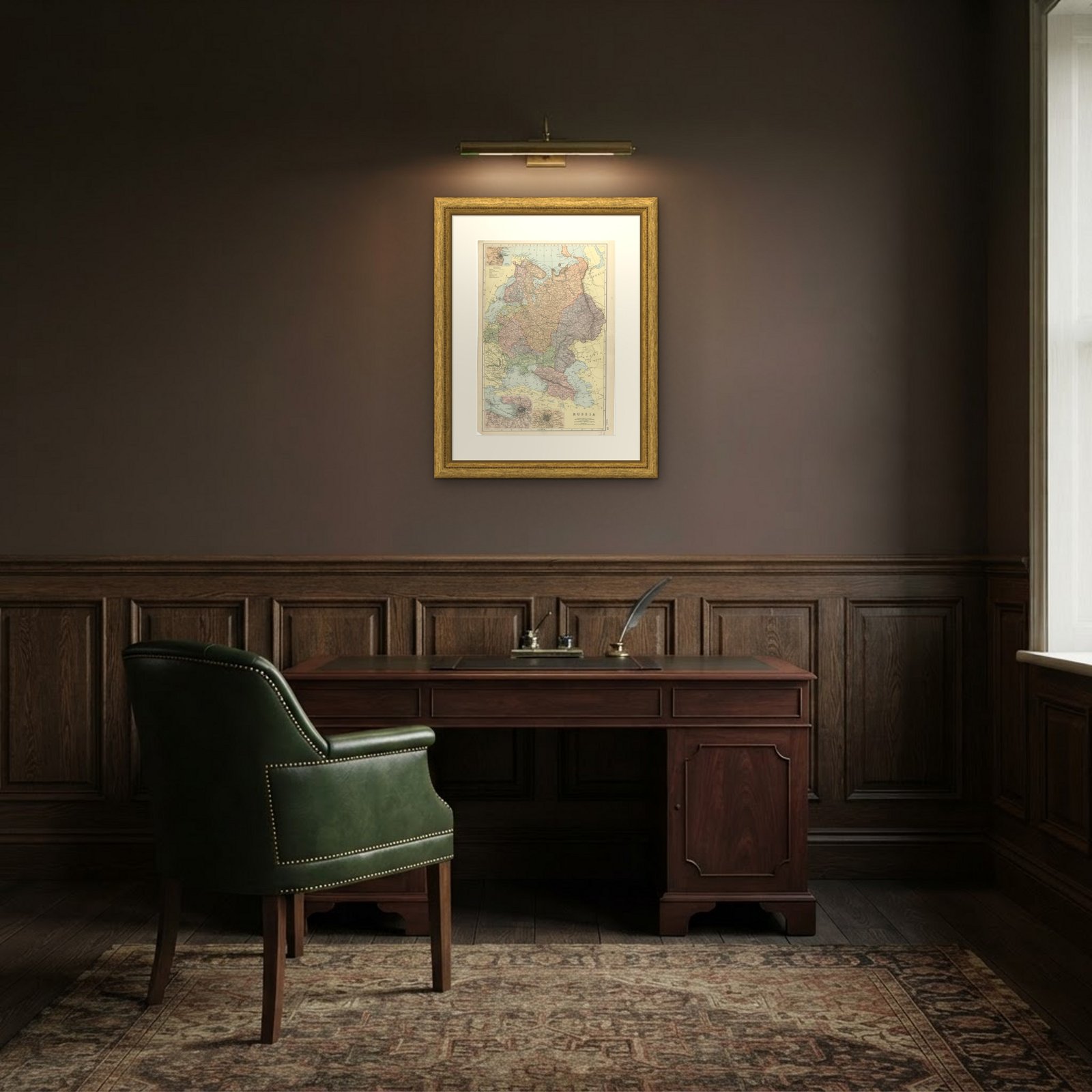 In the room
Interior designers: BarTrade members buy at their trade price. How it works
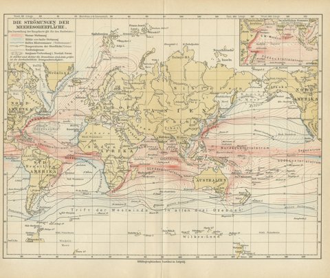
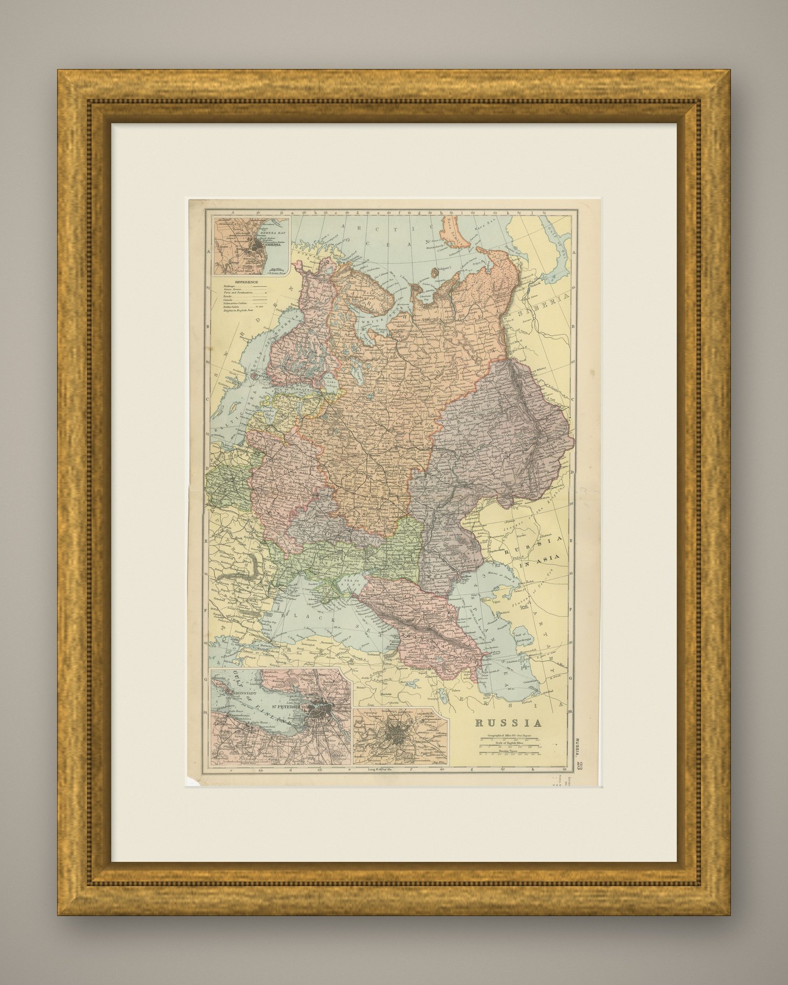
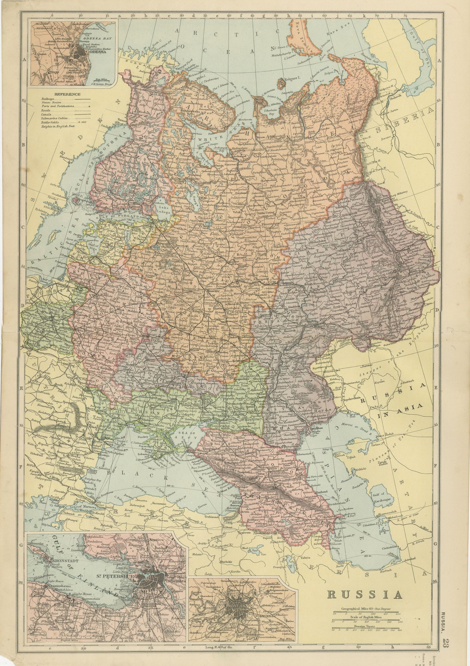
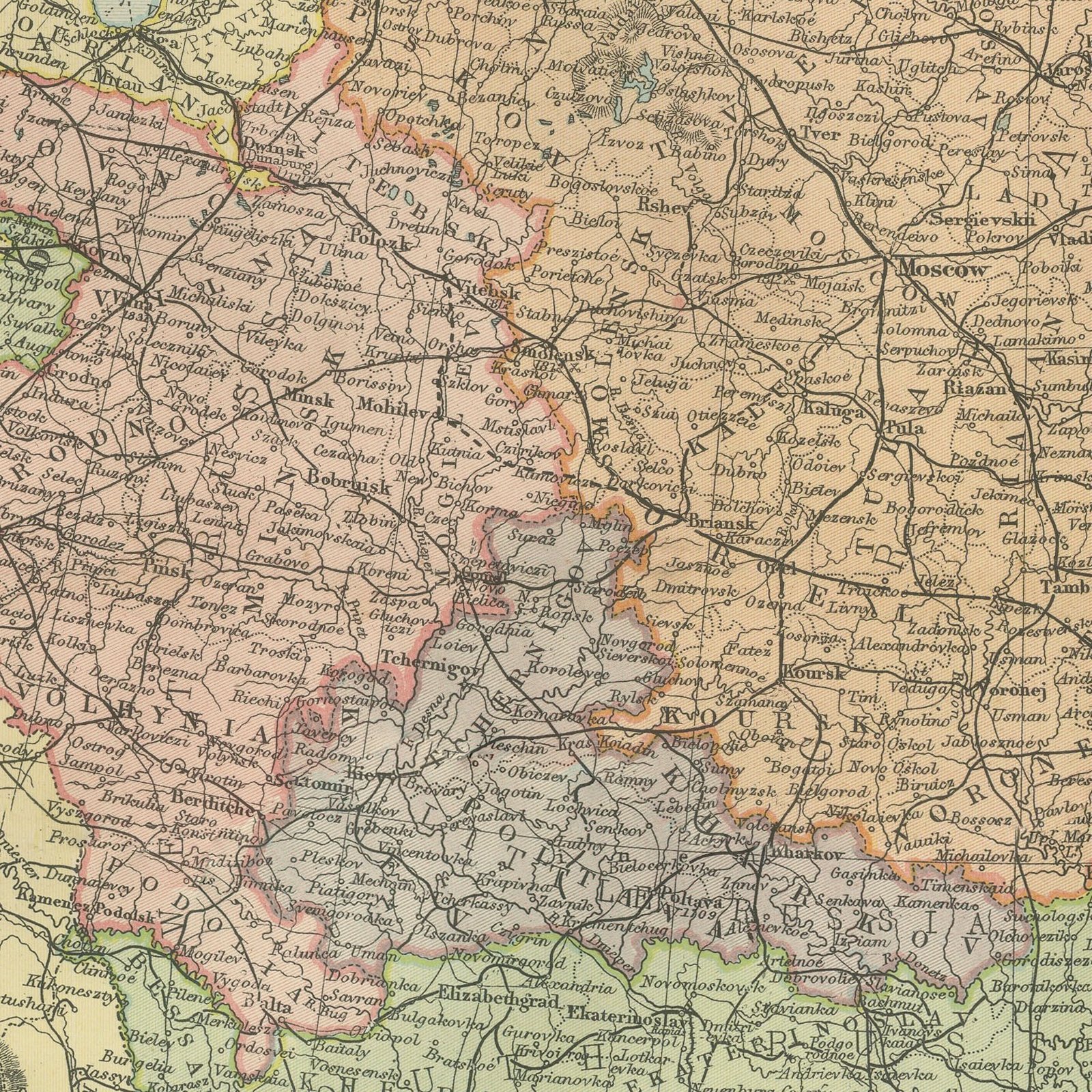
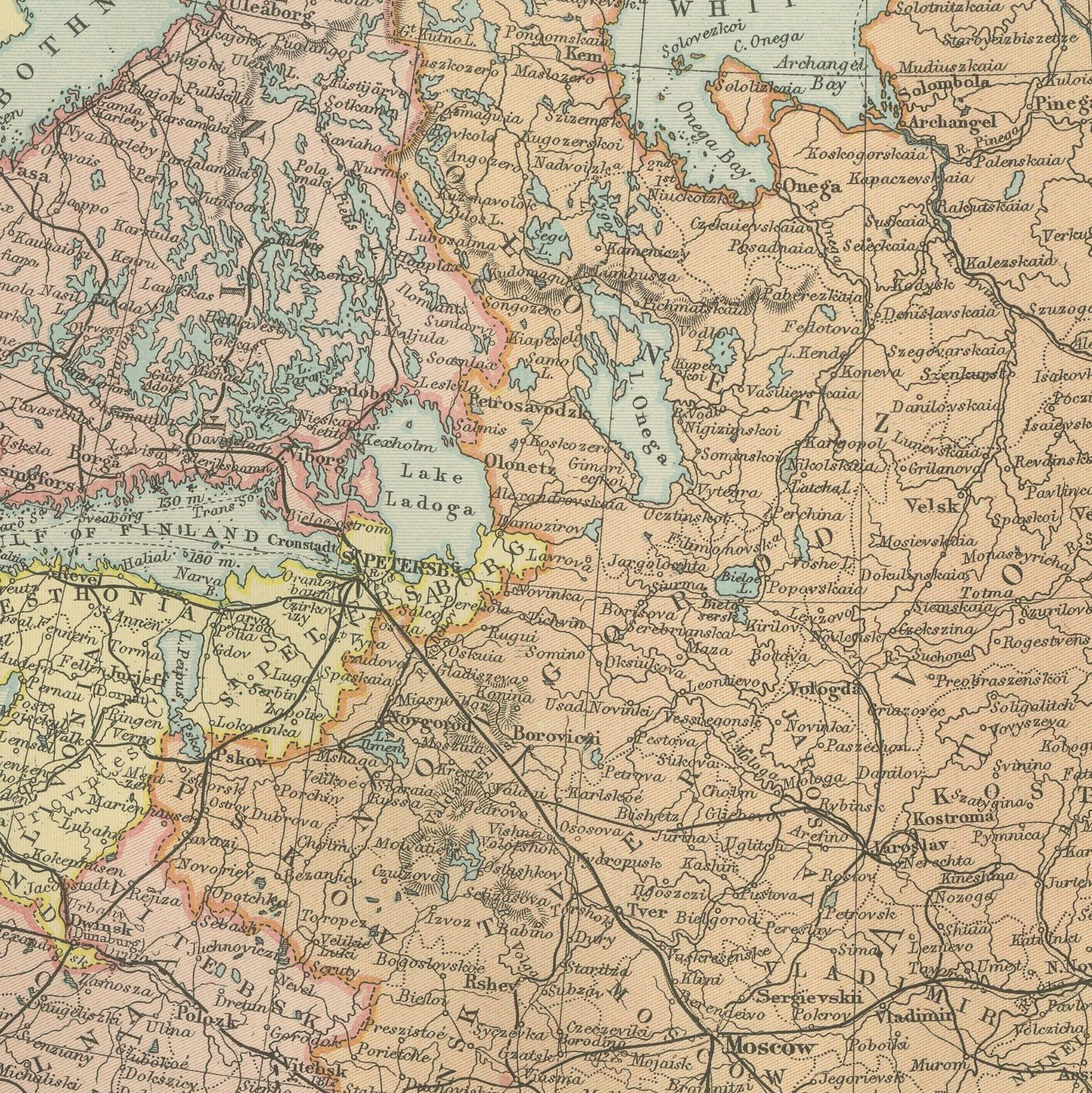
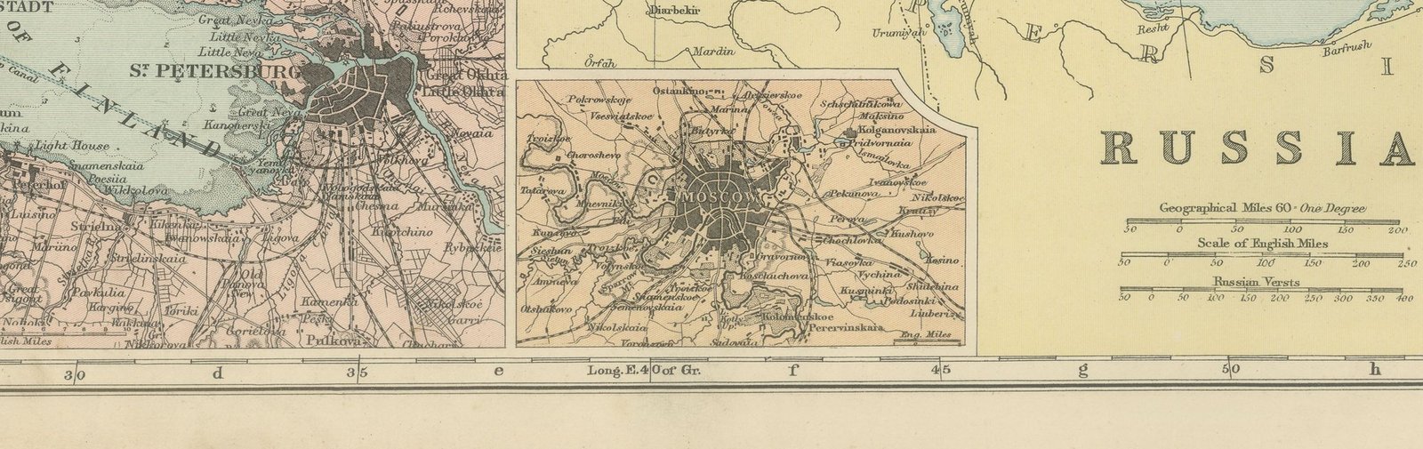
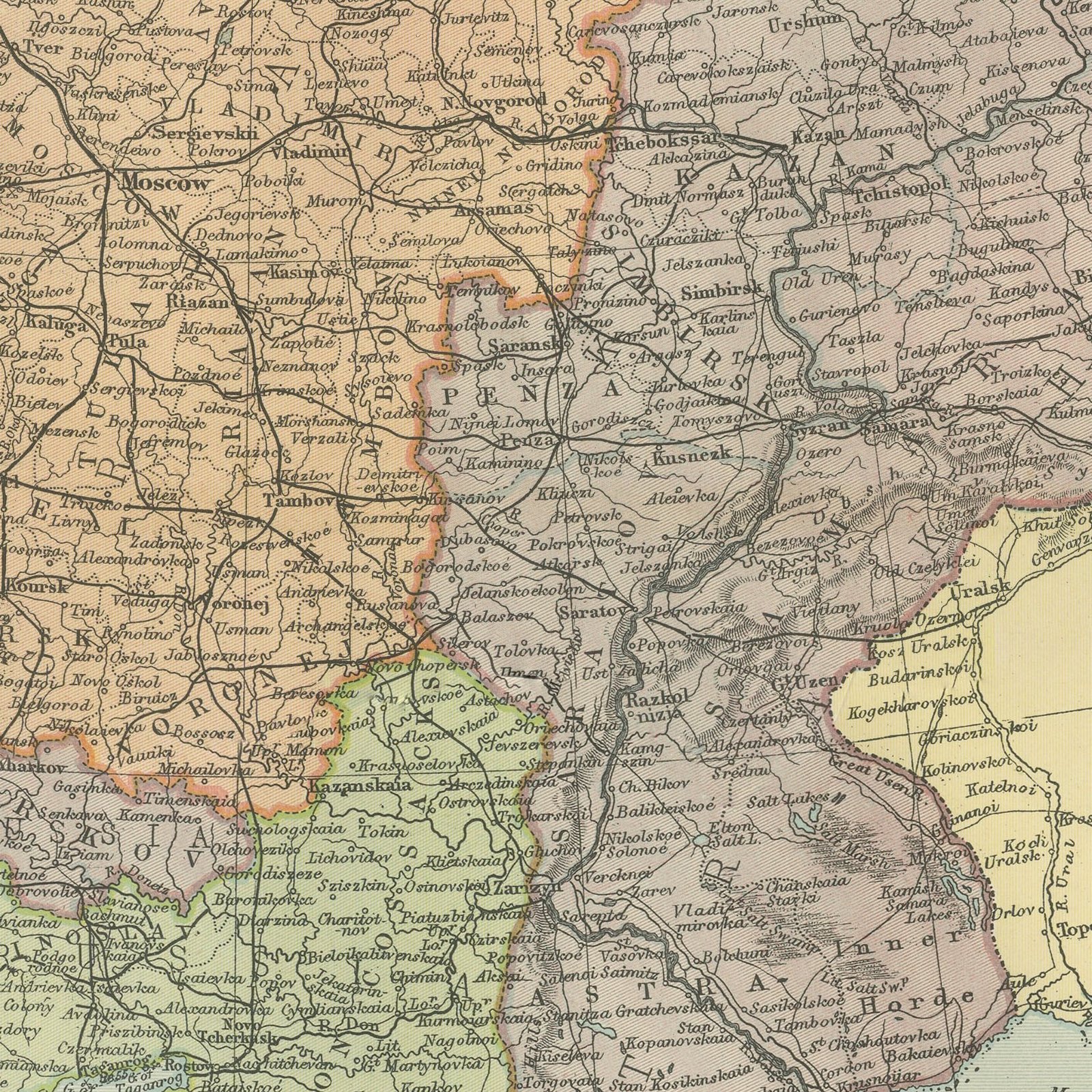
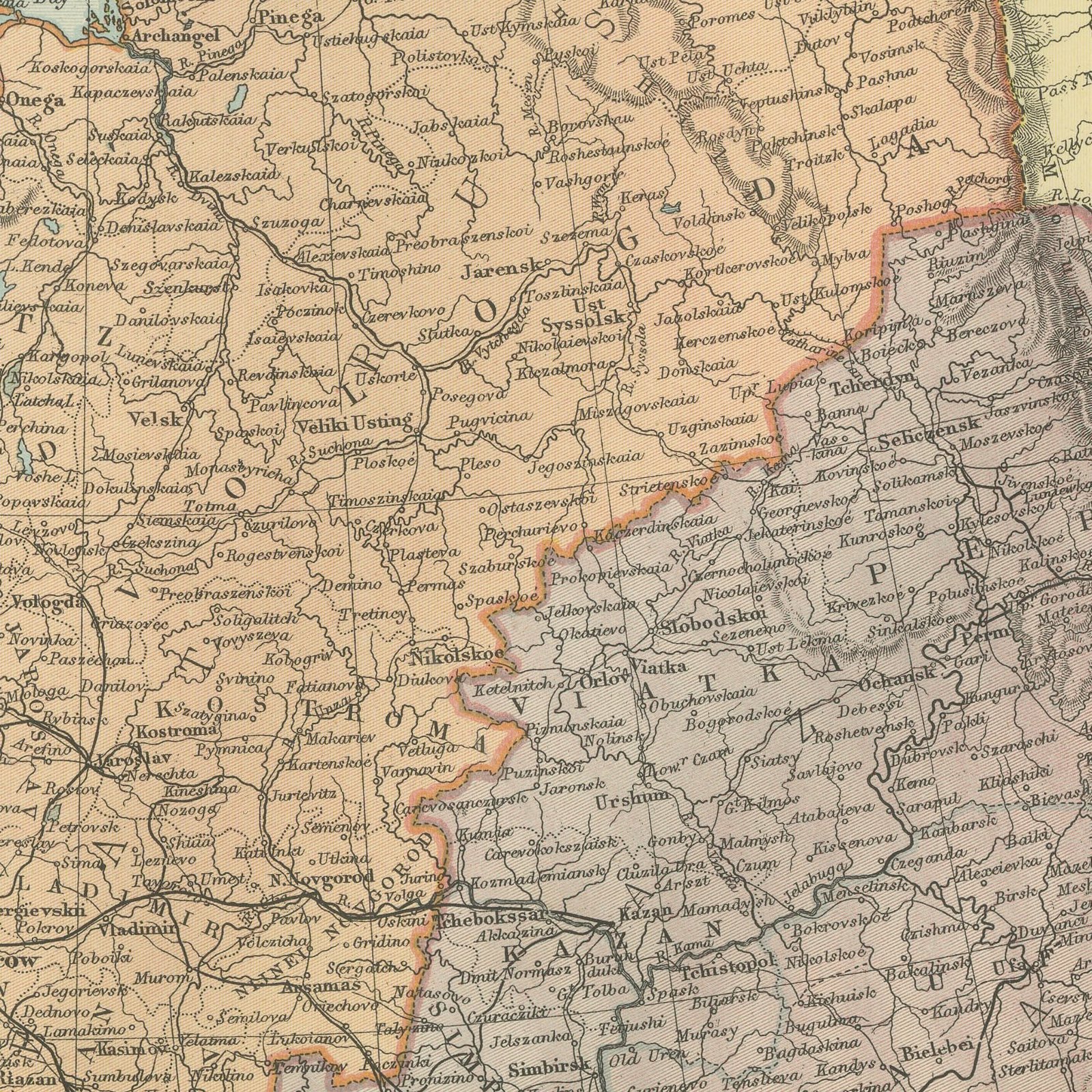
An original antique map of Russia, color printed in 1898 for Bacon's Commercial and Library Atlas of the World. The empire in Europe fills an upright double page from the Arctic to the Black Sea and from Poland to the Urals, every government separately colored and named, with the railway system drawn as it stood at the end of the century. Three inset plans show Moscow, Saint Petersburg with the naval fortress of Kronstadt, and Odessa Bay.
This map was issued in the Commercial and Library Atlas of the World, published by G. W. Bacon and Company, Limited, London, in 1898. Bacon's house built its reputation on large, densely lettered commercial maps rather than on decorative cartography, and this atlas was its reference volume: one hundred double page maps and one hundred insets, each carrying the railways, steamer routes, submarine cables and administrative boundaries that a trading nation wanted at the end of the nineteenth century.
The map records imperial Russia under Nicholas the Second with its administrative geography intact: Finland as a grand duchy, Poland as the Vistula provinces, and the Baltic governments still Russian. All of that was gone within twenty years, which is why maps of this generation are the ones family historians and collectors of Russian material look for. The Kronstadt inset is worth a look, since it shows the sea defenses of the capital in detail.
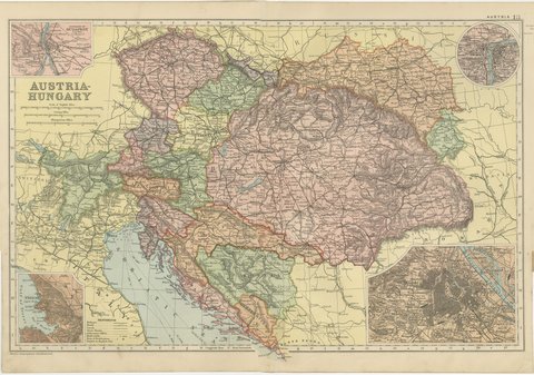
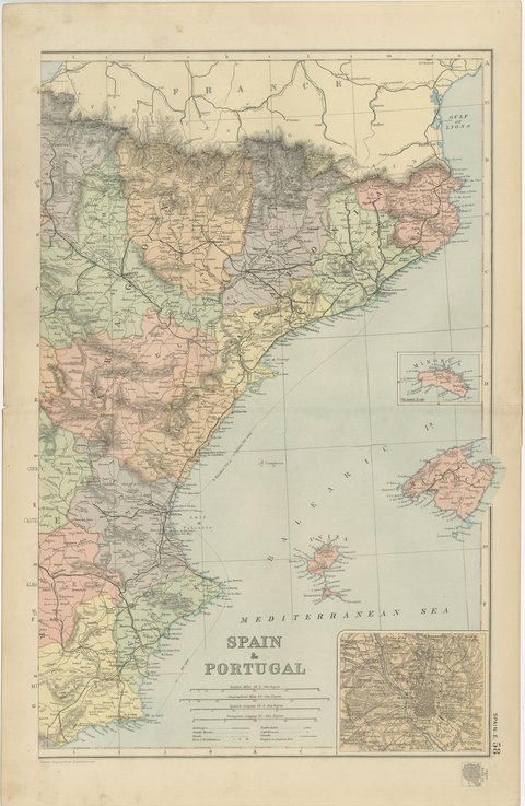
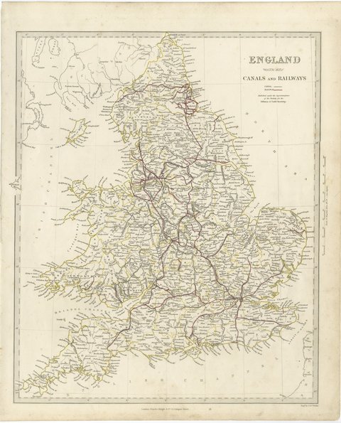
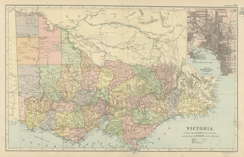
Warm cream paper, evenly age toned, with a very narrow margin and the map printed to the edge of the sheet. There is a small notch in the left edge and a faint vertical line down the left margin.
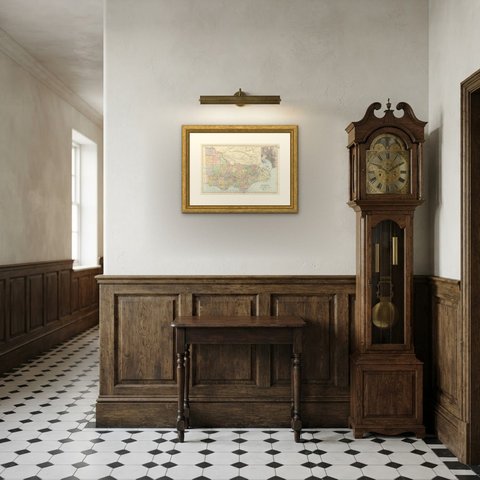
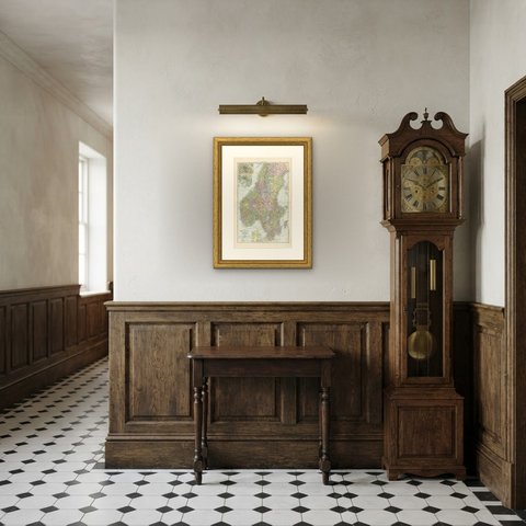
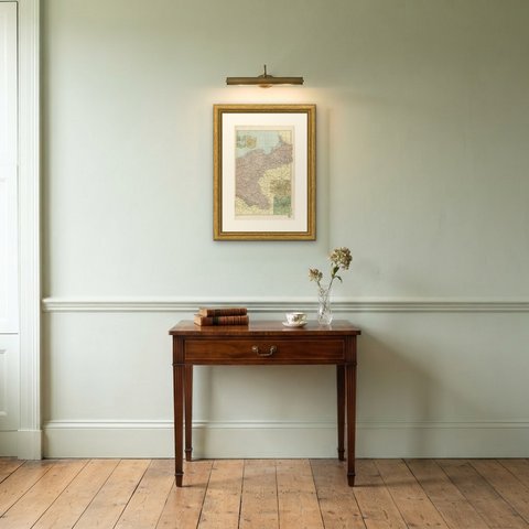
Framed simply, a sheet of this size holds a wall on its own, and the clear color printing reads well across a room. It suits a study, a library, an office or a hallway, and it is an easy gift for anyone with a connection to the place it shows. This is an original antique map, not a modern reproduction. This item is sold unframed.