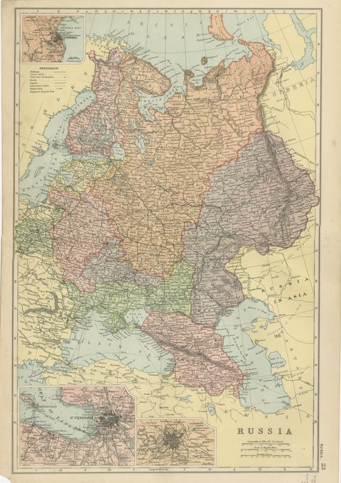
 The sheet, as you receive it
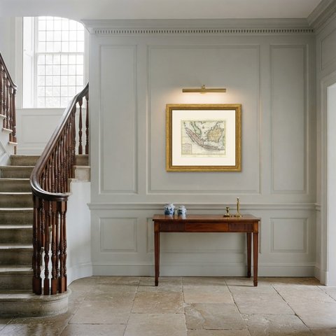
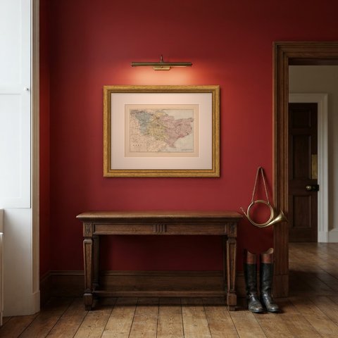
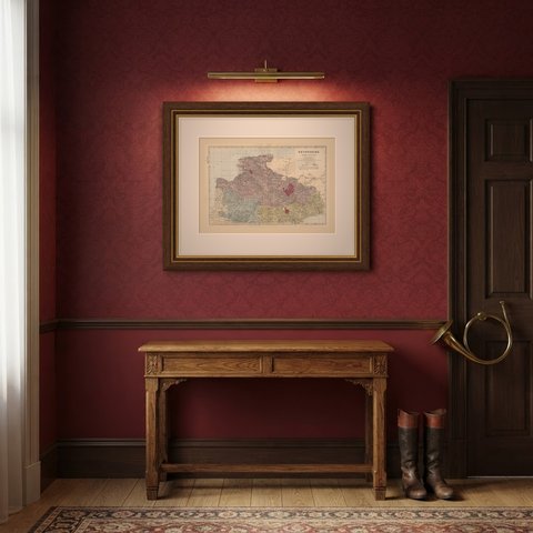
 In the room
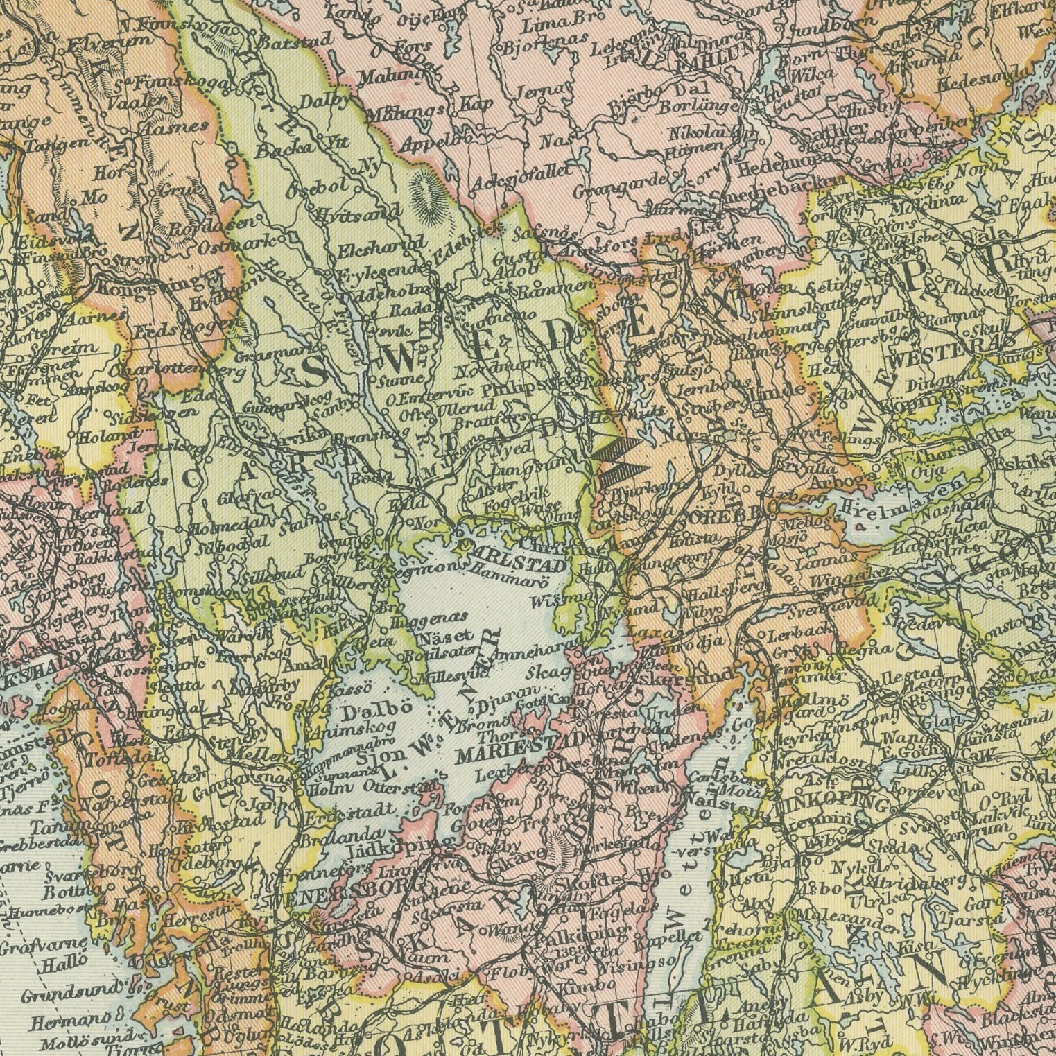
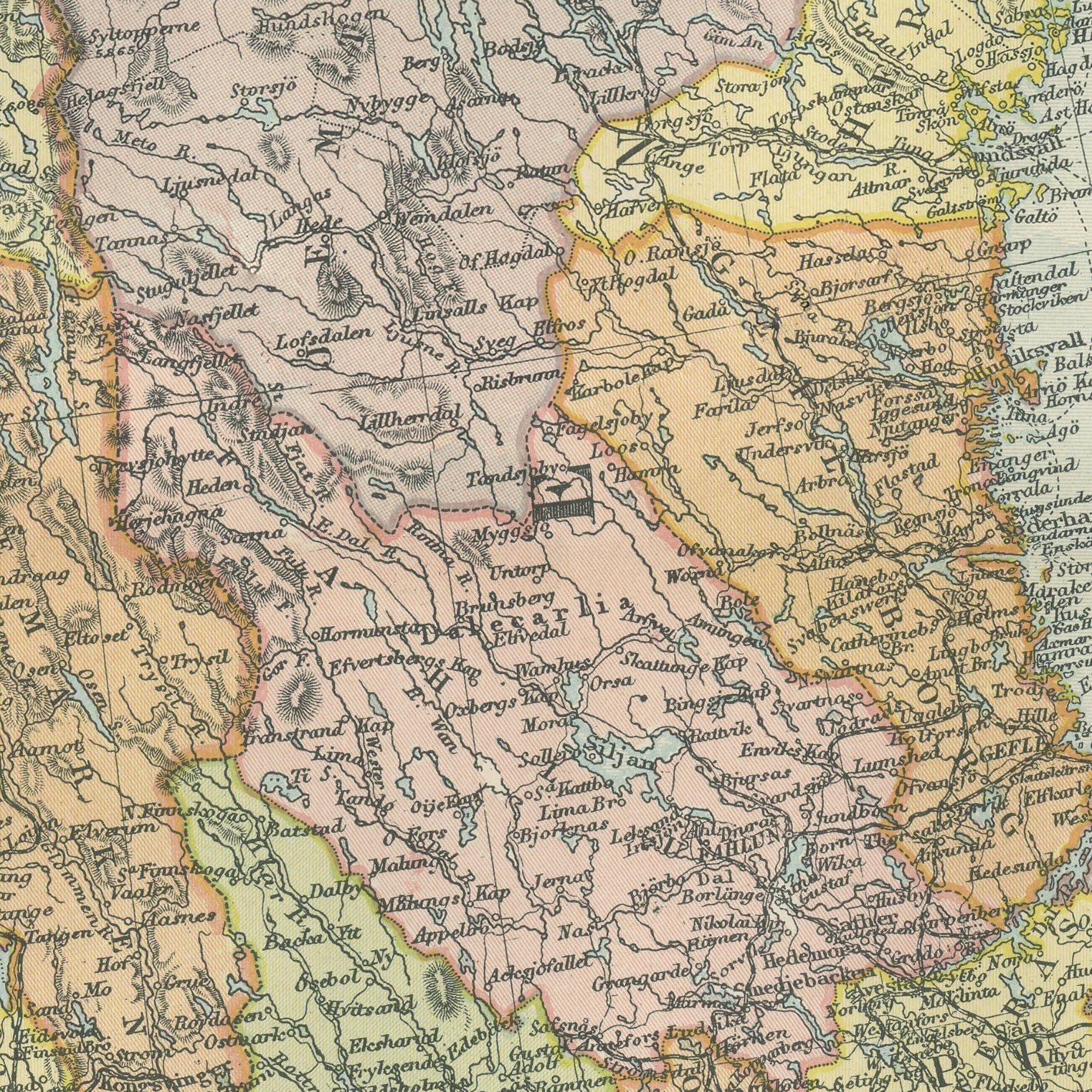
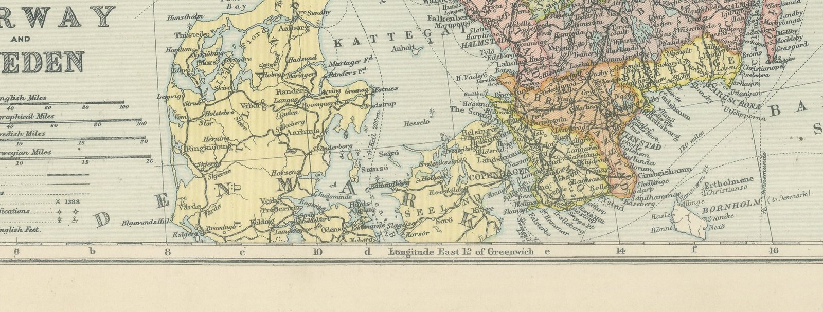
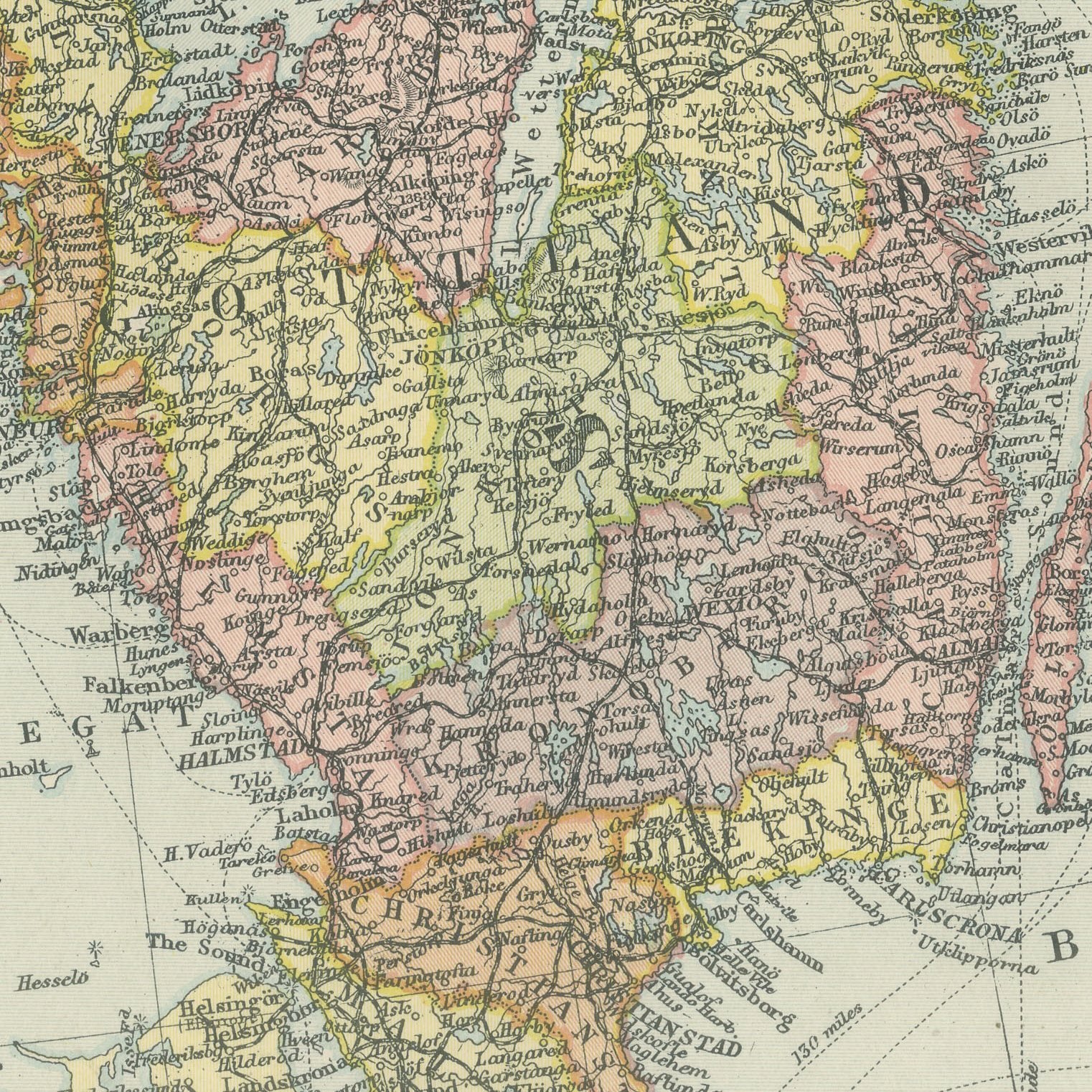
Interior designers: BarTrade members buy at their trade price. How it works
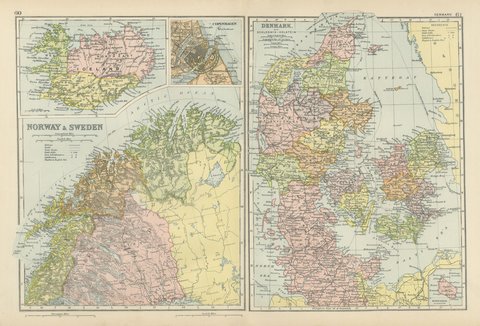
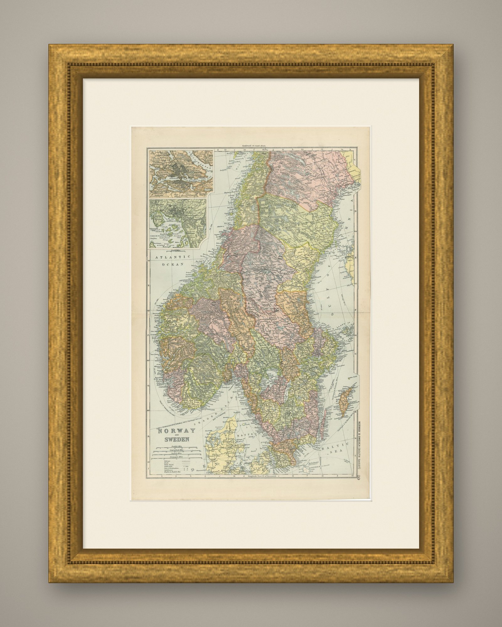
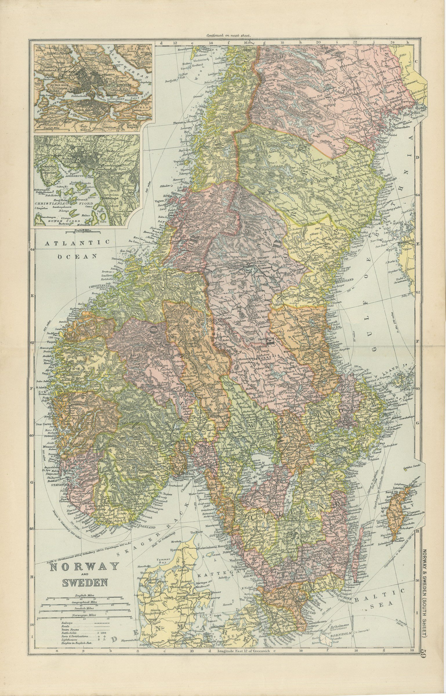
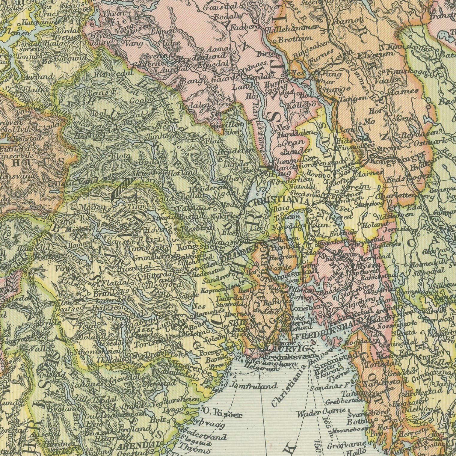
Original antique map of southern Norway and Sweden from the 1898 Commercial and Library Atlas of the World, edited by G. W. Bacon in London and printed in color. The upright sheet covers the peninsula from Trondhjem south to the Skagerrak and across to Gotland, with the Norwegian fiords and the Swedish lakes drawn in detail and every len and amt in its own color. Two insets give Stockholm with its archipelago and the Christiania Fiord.
The sheet comes from the Commercial and Library Atlas of the World with Index-Gazetteer, edited by George Washington Bacon, Fellow of the Royal Geographical Society, and published in London by G. W. Bacon and Company, Limited, of 127 Strand, in 1898. The atlas gathered one hundred double page maps and one hundred inset maps with an alphabetical index of fifty thousand places and a gazetteer of two thousand towns, and it was sold to merchants, shipping houses and subscription libraries that needed the world kept current rather than kept beautiful.
This is the populated half of the peninsula, the part most family research concerns, and the map names parishes and small coastal towns rather than only cities. Norway and Sweden were still joined under one crown in 1898, and Christiania had not yet been renamed Oslo, so the sheet dates itself to a seven year window before the union ended. The Stockholm inset shows the city on its islands with the archipelago steamer routes marked.
Light overall age toning, with the paper darker along the right edge, a few handling marks in the margins and light handling wear at the bottom right corner. The printed image itself is clean.
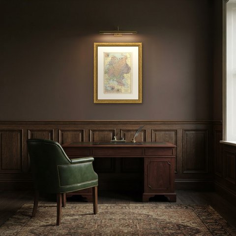
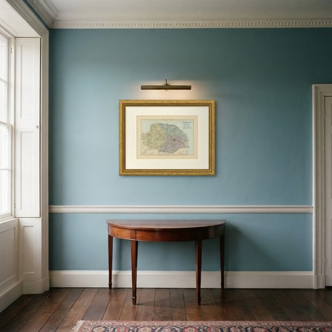
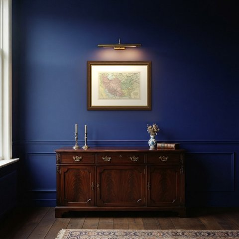
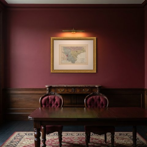
Hung in a plain frame with a generous mount, a map of this scale makes a strong center for a room, and it pairs naturally with other sheets from the same atlas if a wall calls for a group. It is equally at home in a study, a dining room or a set of offices. This is an original antique map, not a modern reproduction. This item is sold unframed.