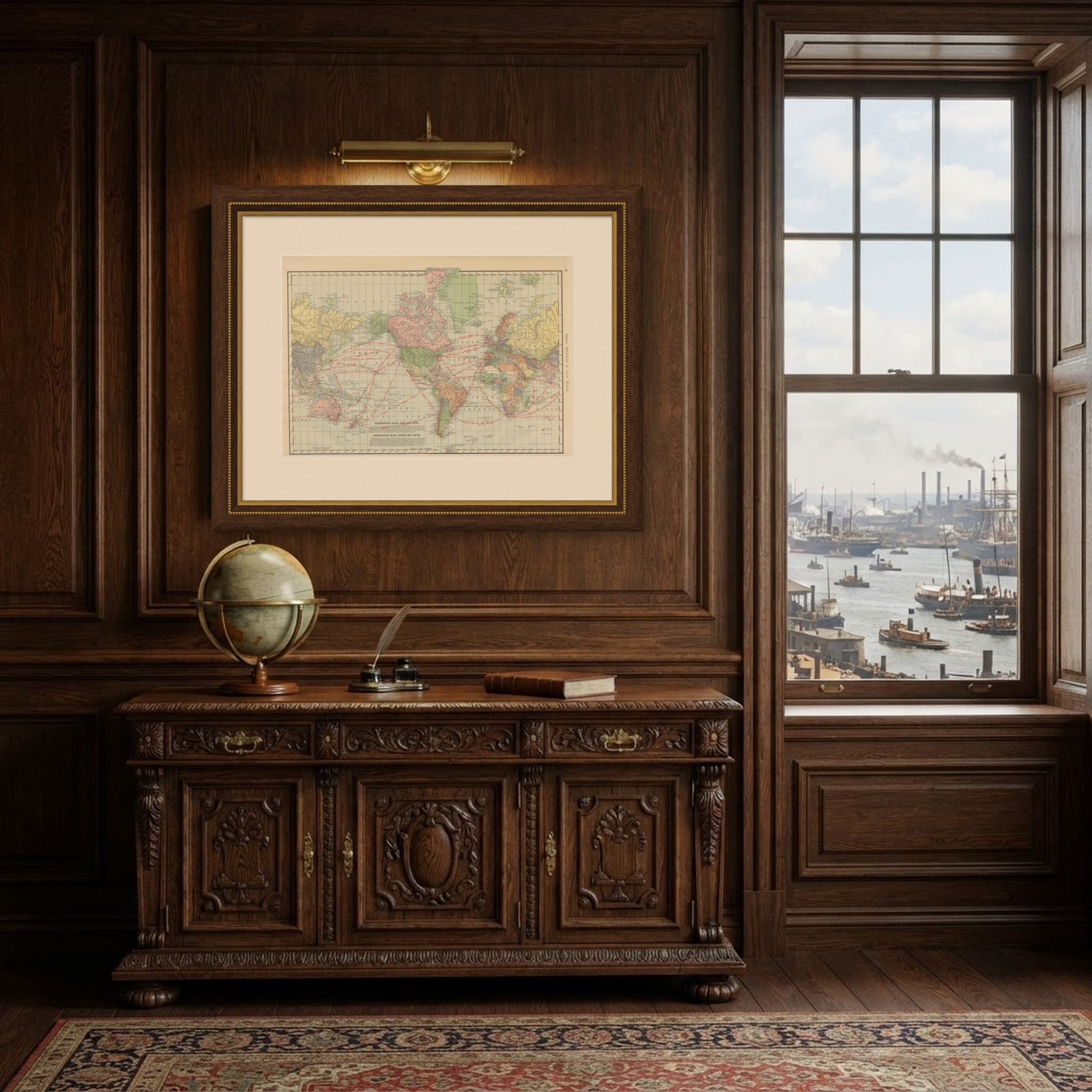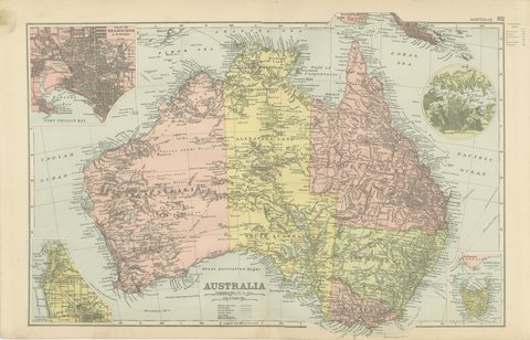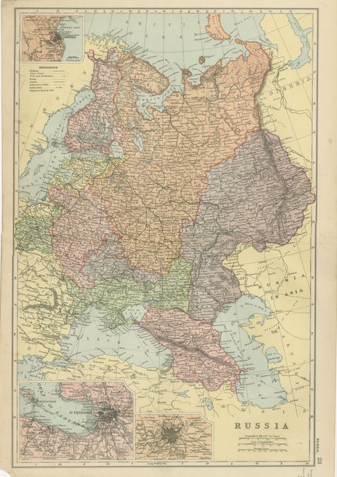
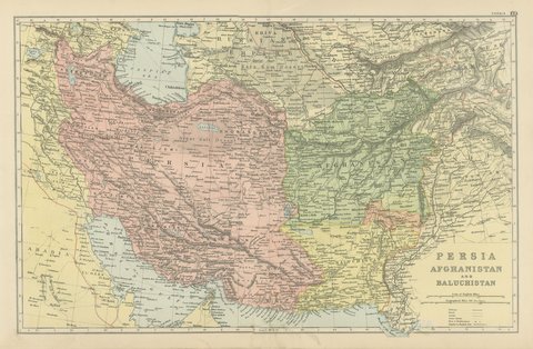
 The sheet, as you receive it
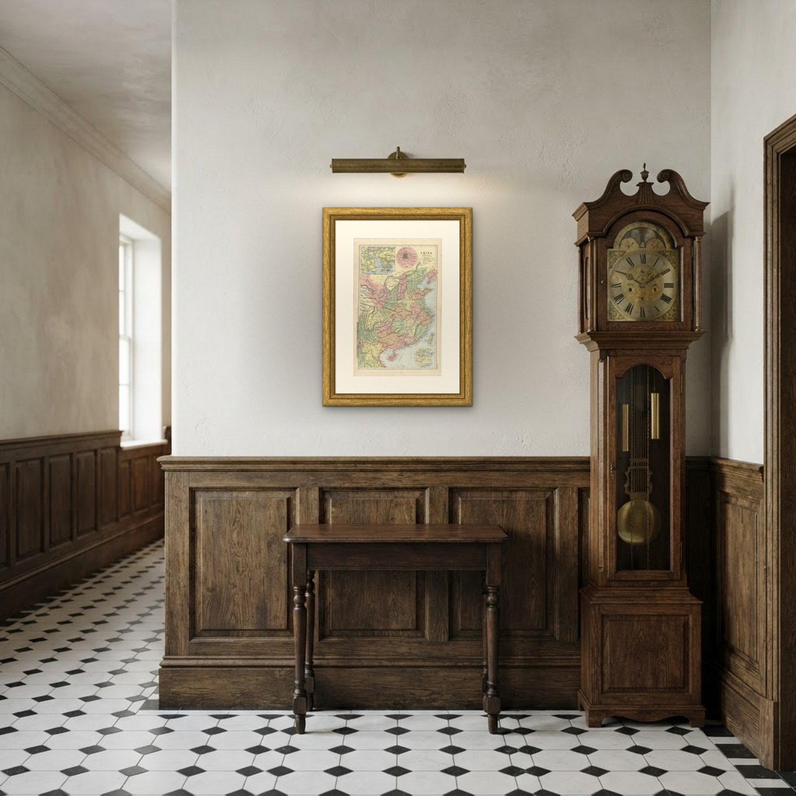 In the room
Interior designers: BarTrade members buy at their trade price. How it works
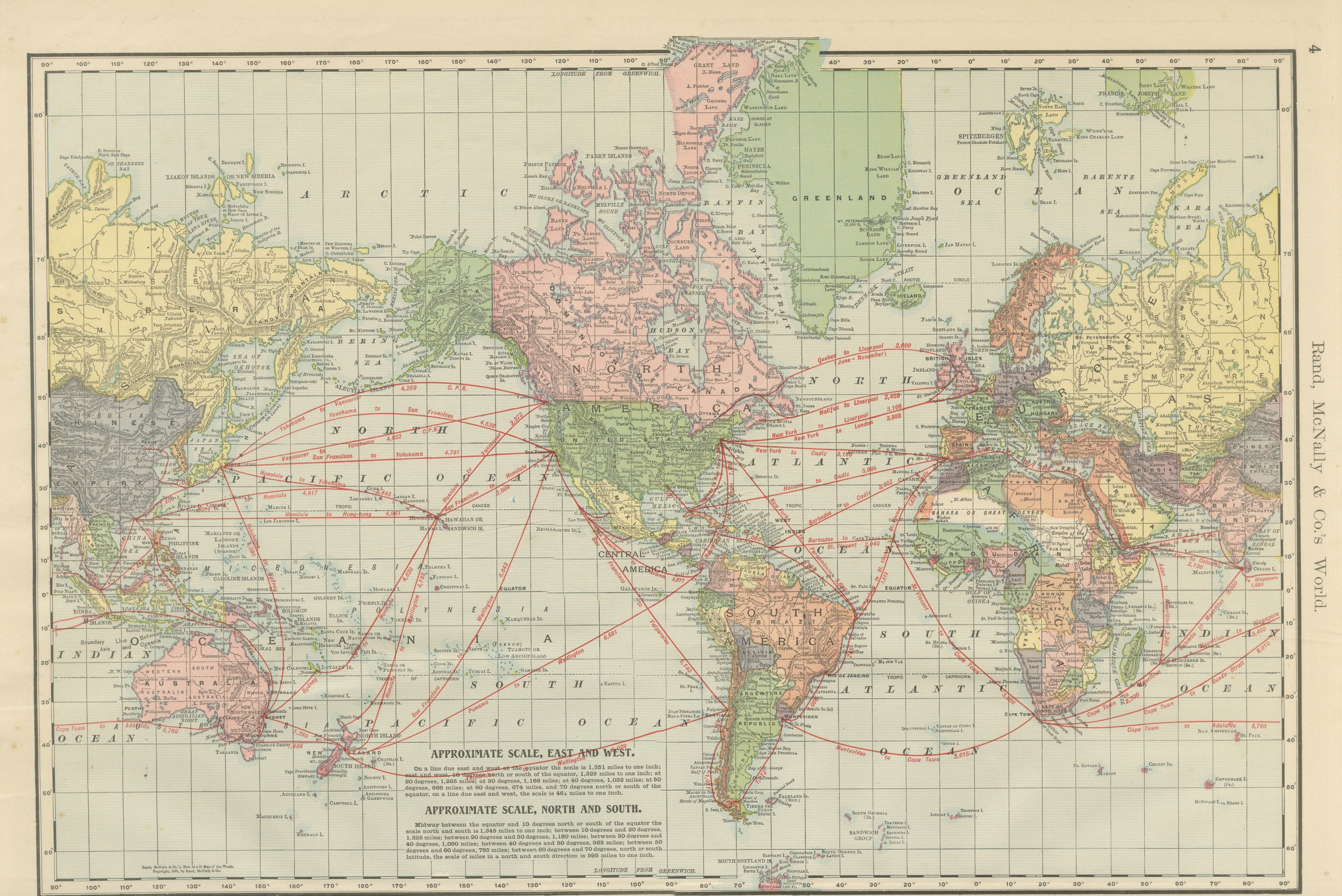
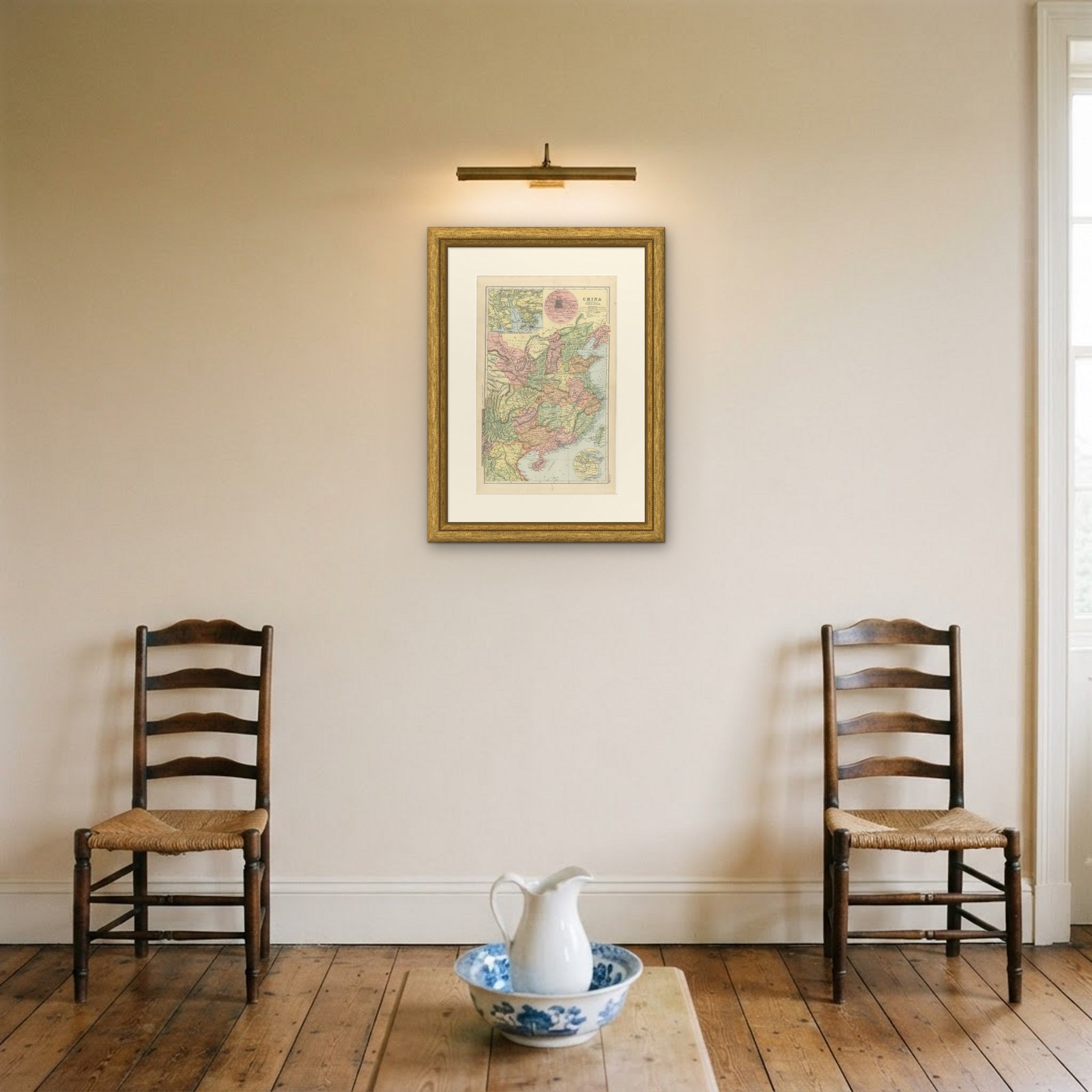
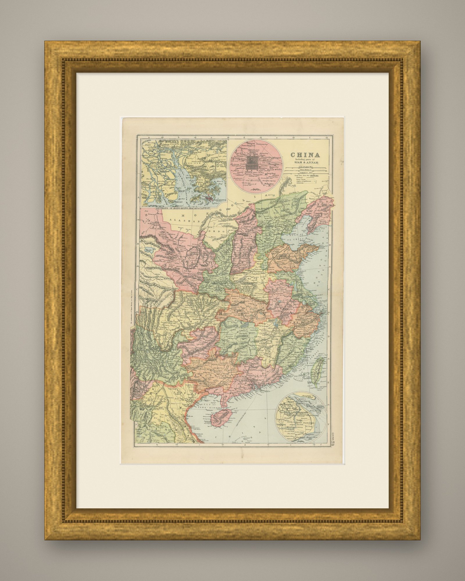
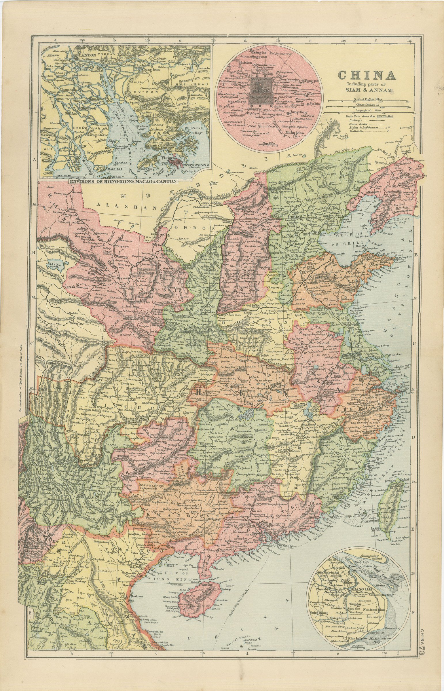
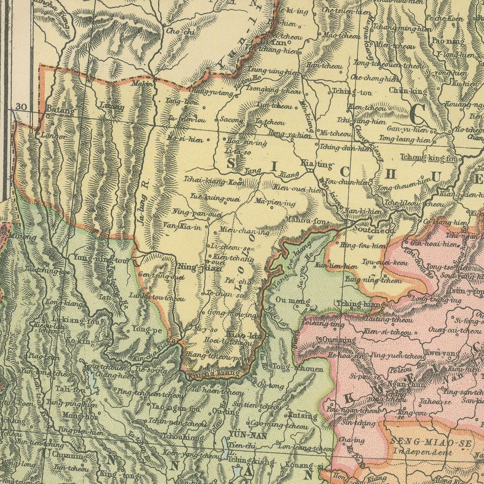
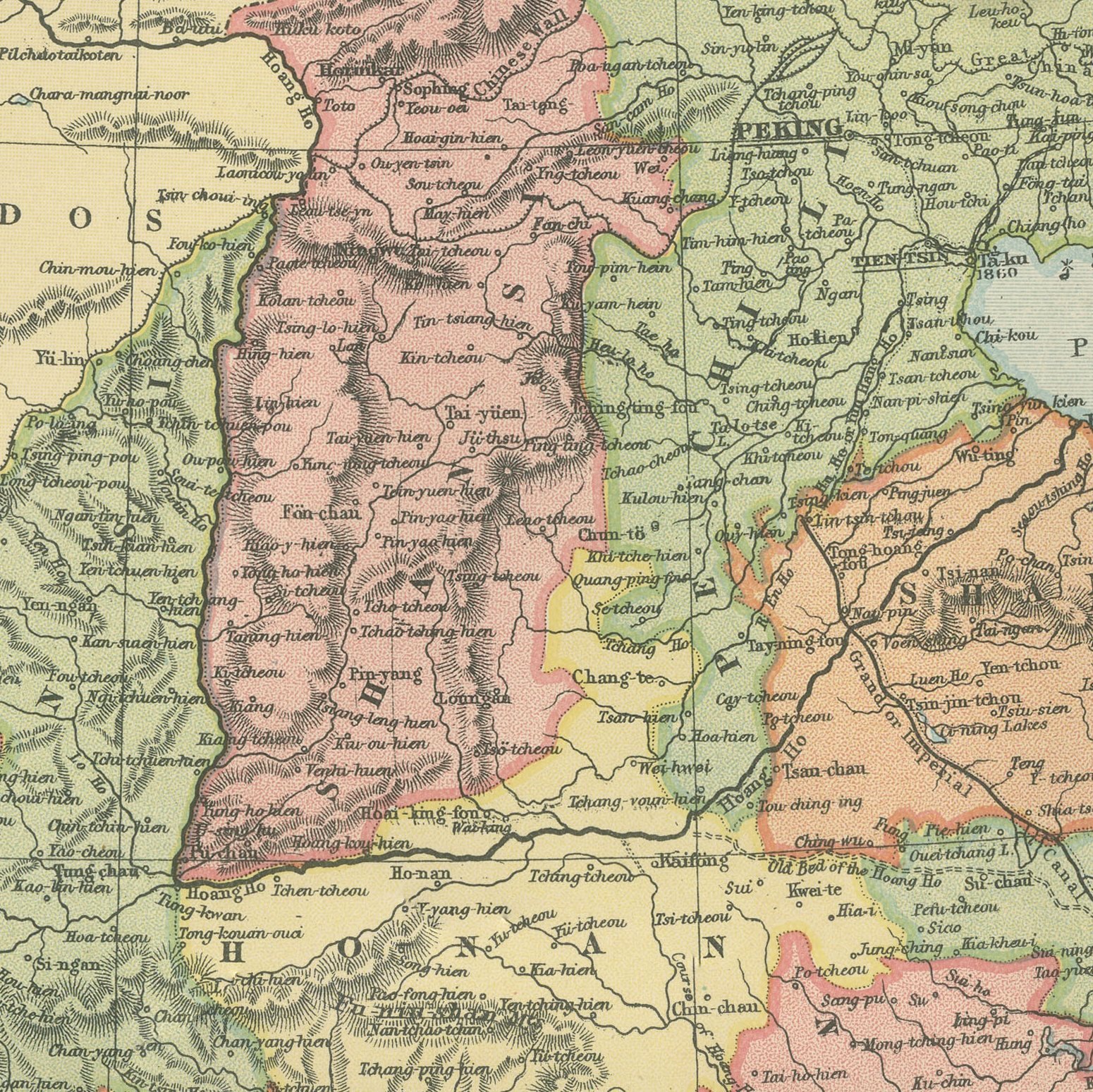
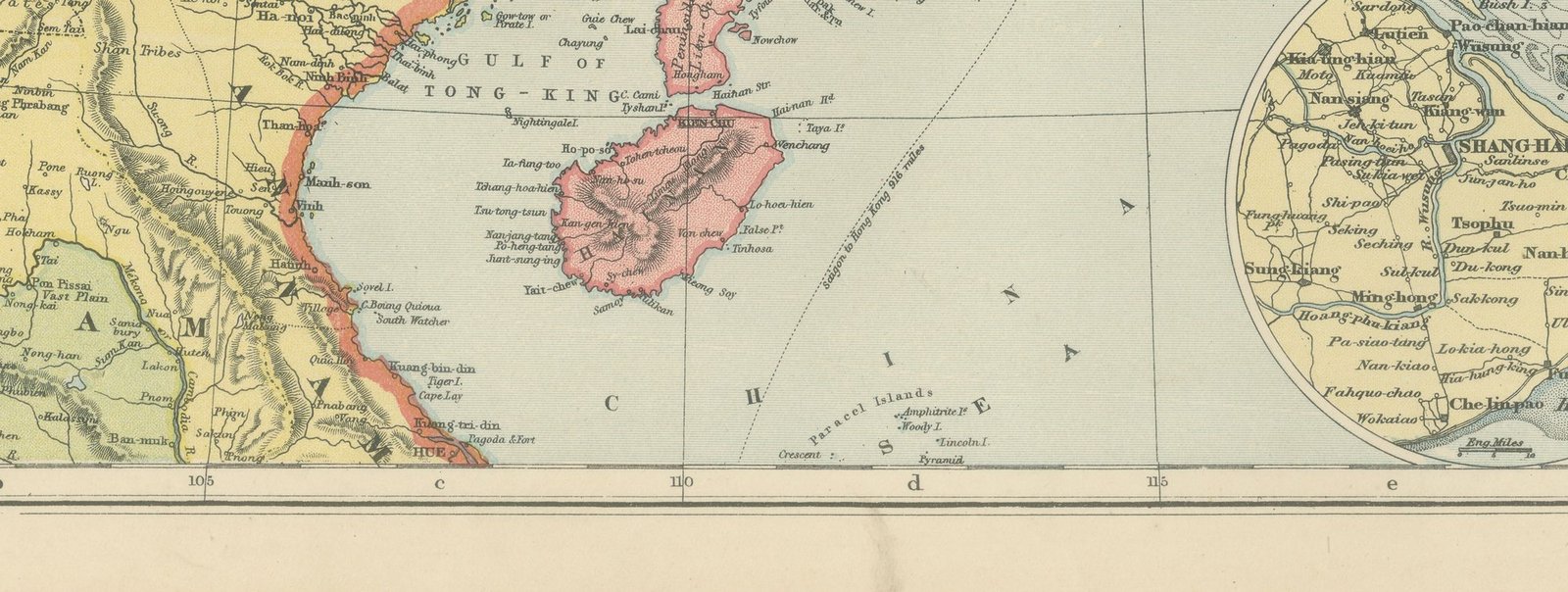
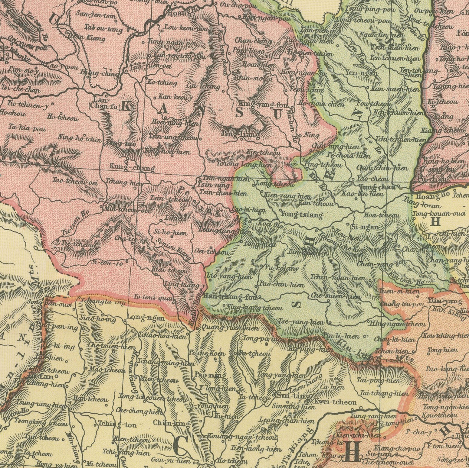
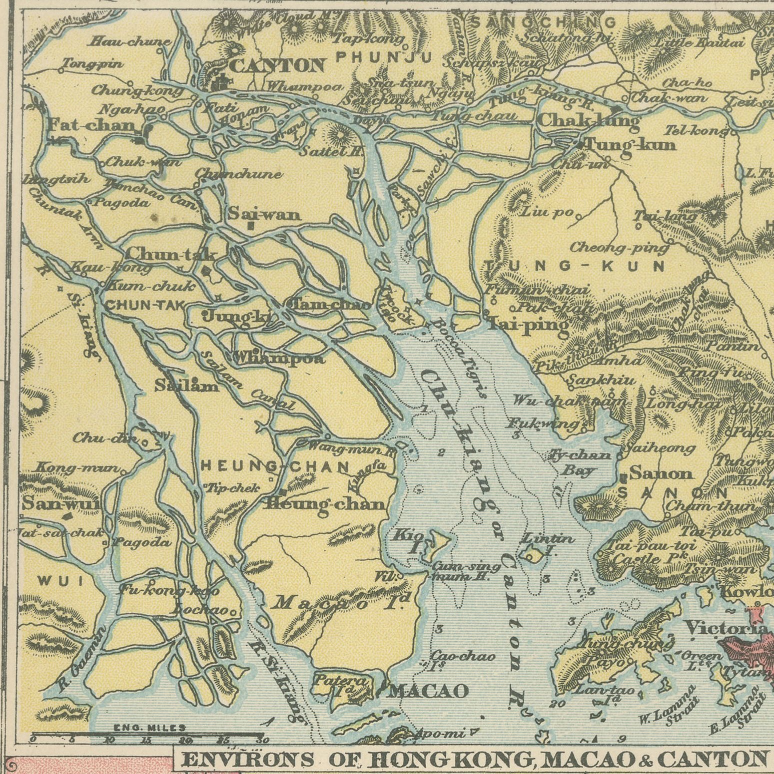
Original antique map of China from the 1898 Commercial and Library Atlas of the World, edited by G. W. Bacon in London and printed in color. The upright double page covers the eighteen provinces with Manchuria, Mongolia and the Gulf of Pechili, each province separately colored, the Yangtse and the Hoang Ho drawn across the sheet, and the treaty ports named along the coast. Three insets give the environs of Hong Kong, Macao and Canton, a plan of Peking, and Shanghai with the Woosung river.
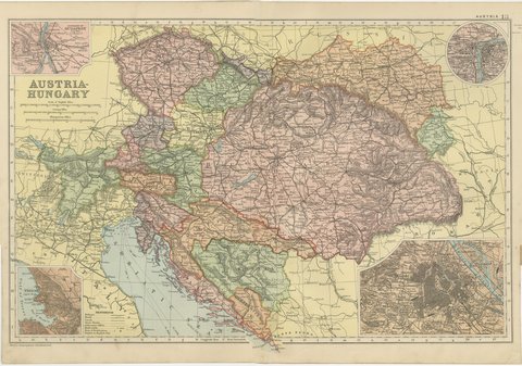
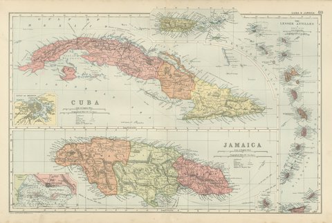
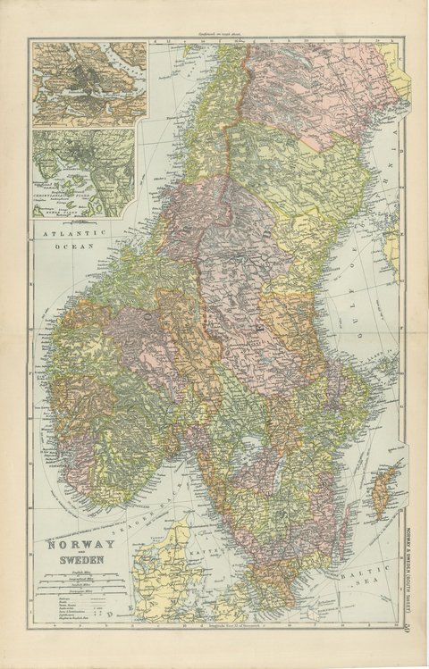
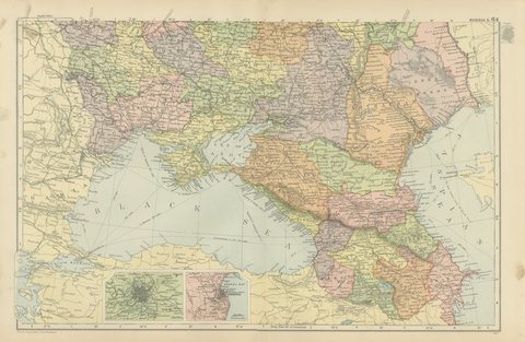
Bacon's Commercial and Library Atlas of the World appeared from 127 Strand in 1898, edited by George Washington Bacon, an American who settled in London and built one of the busiest map houses in Victorian Britain. The volume ran to one hundred double page maps and one hundred insets, backed by an index of fifty thousand places, and its plates were drawn, printed and colored at Bacon's own Geographical Establishment, whose imprint appears in the lower margin of the sheets.
Eighteen ninety eight was the year of the scramble for concessions in China, when Kiaochow went to Germany, Port Arthur to Russia, Weihaiwei to Britain and the New Territories were leased behind Hong Kong. The map was printed in the middle of all of it and shows the coast the powers were carving up.
Moderate overall age toning, with the paper darker along the left and right edges, a few handling marks in the margins and light handling wear at the bottom right corner. The printed image itself is clean.
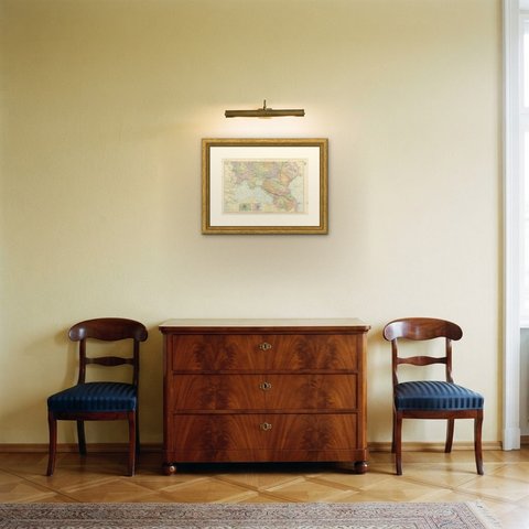
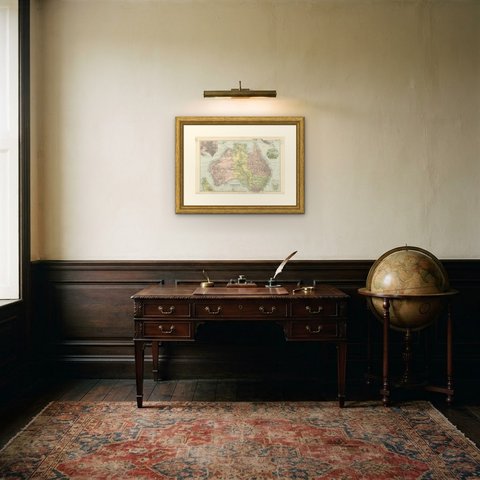
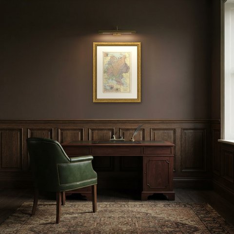
The sheet is large enough to carry a chimney breast or a stairwell and quiet enough in color to sit with books and furniture rather than compete with them. Collectors of Victorian cartography, interior designers and anyone with a tie to the region will find a use for it. This is an original antique map, not a modern reproduction. This item is sold unframed.