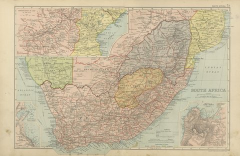
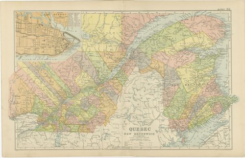
 The sheet, as you receive it
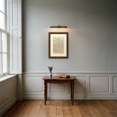
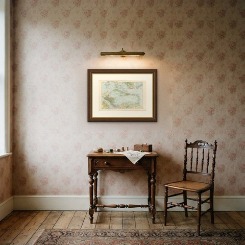
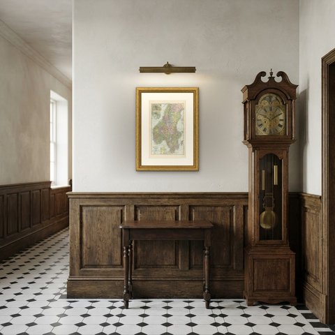
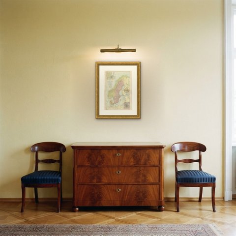
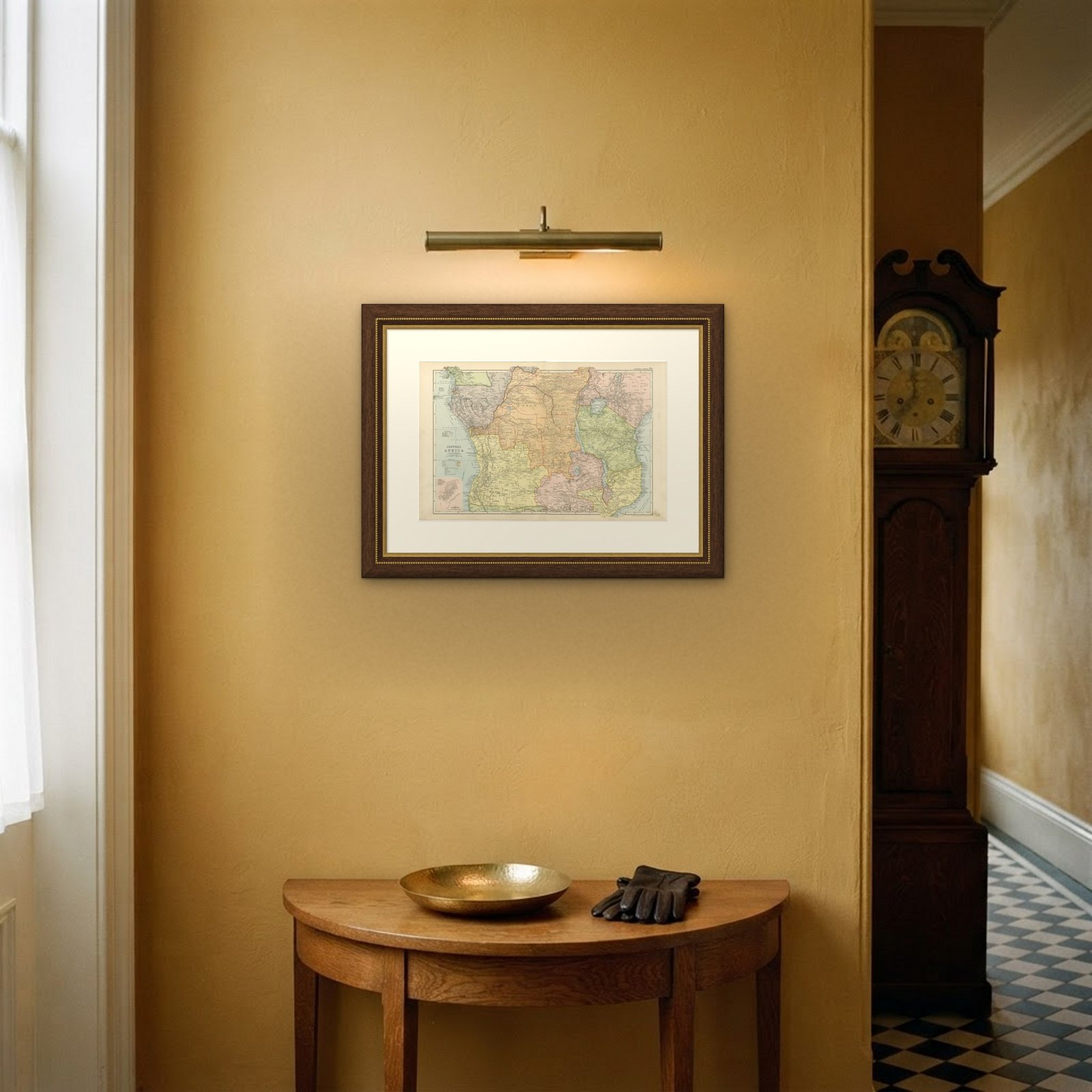
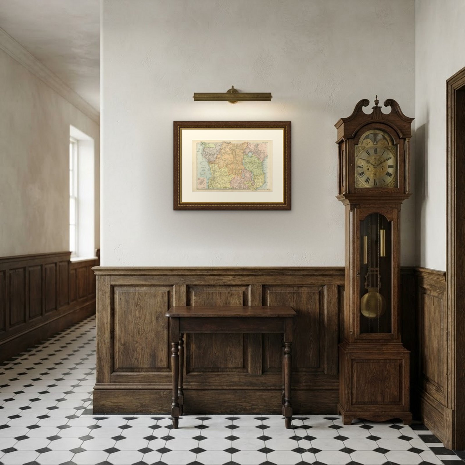 In the room

Interior designers: BarTrade members buy at their trade price. How it works
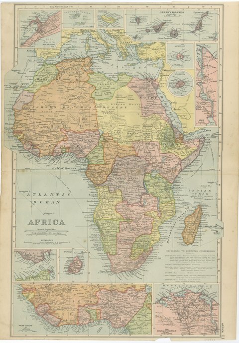
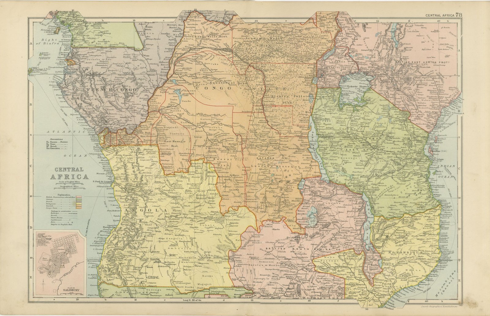
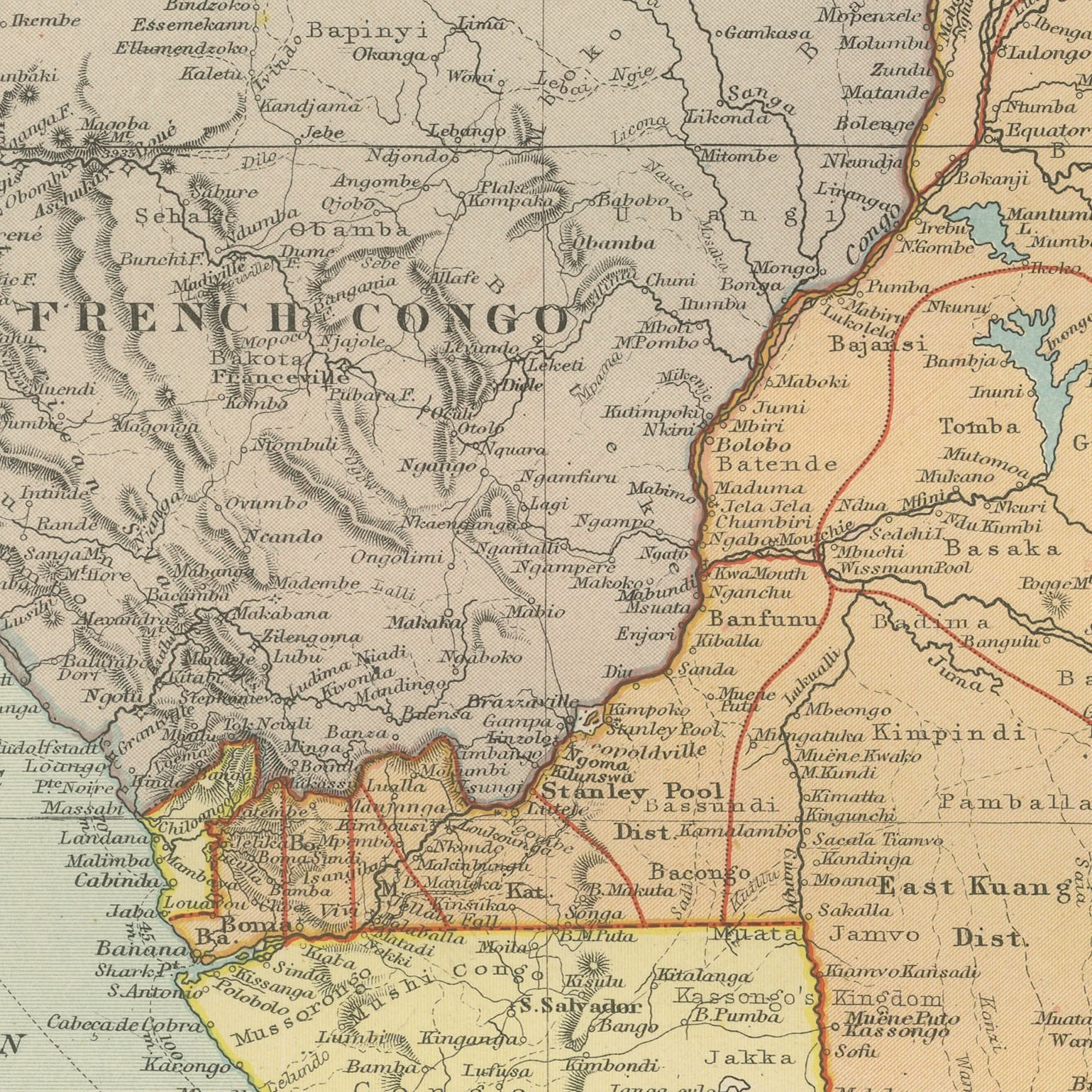
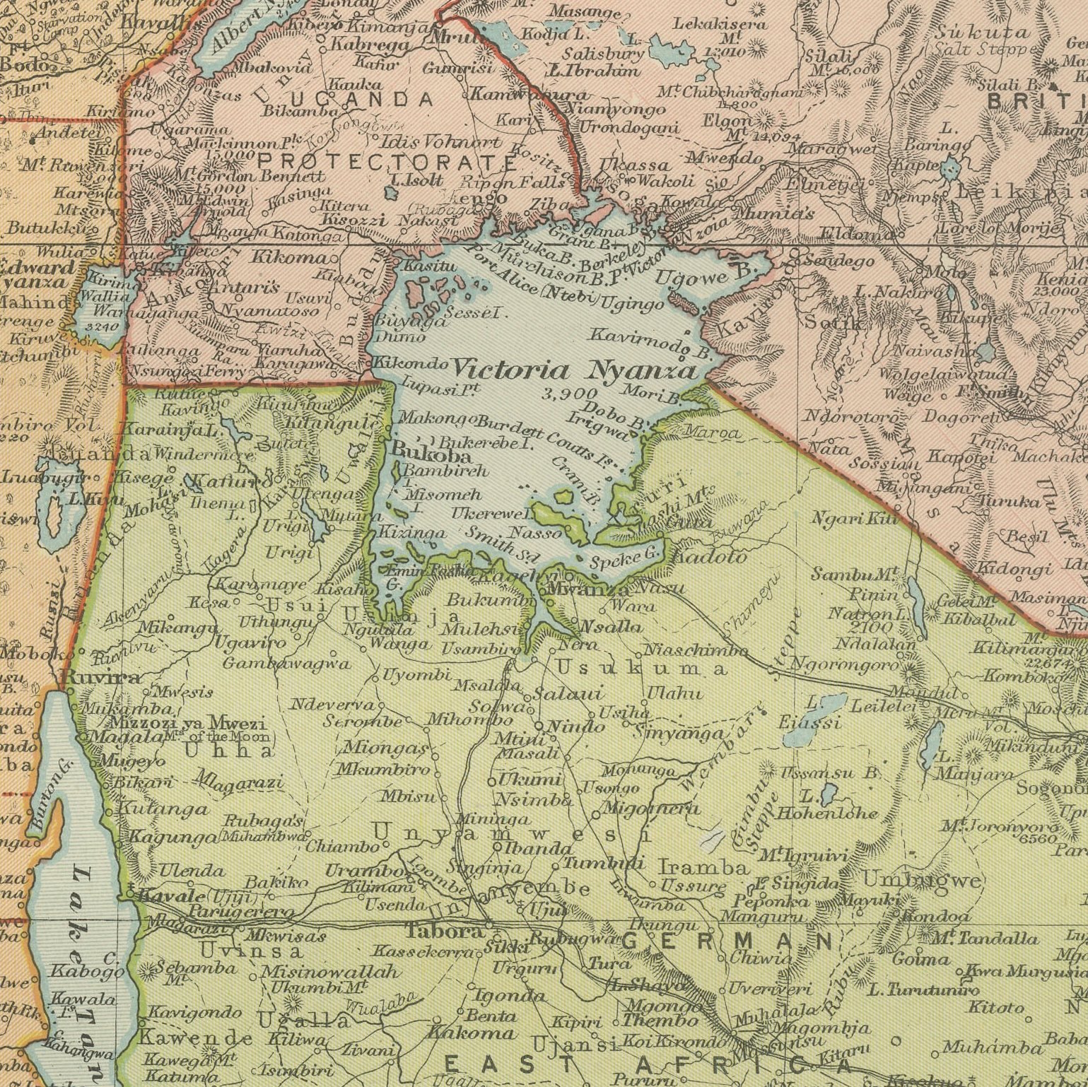
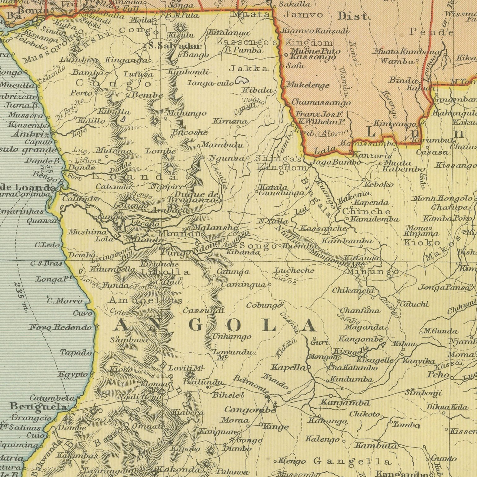
A large color printed antique map of central Africa, published in London by G. W. Bacon in 1898 for his Commercial and Library Atlas of the World. The double page runs from the Bight of Biafra to the Indian Ocean, covering the Congo Free State, French Congo, Angola, German and British East Africa, the British South Africa Company's territory and Mozambique, each in a separate color. Lake Victoria, Tanganyika and Nyassa are drawn in full, and an inset gives a plan of Salisbury.
Bacon's Commercial and Library Atlas of the World appeared from 127 Strand in 1898, edited by George Washington Bacon, an American who settled in London and built one of the busiest map houses in Victorian Britain. The volume ran to one hundred double page maps and one hundred insets, backed by an index of fifty thousand places, and its plates were drawn, printed and colored at Bacon's own Geographical Establishment, whose imprint appears in the lower margin of the sheets.
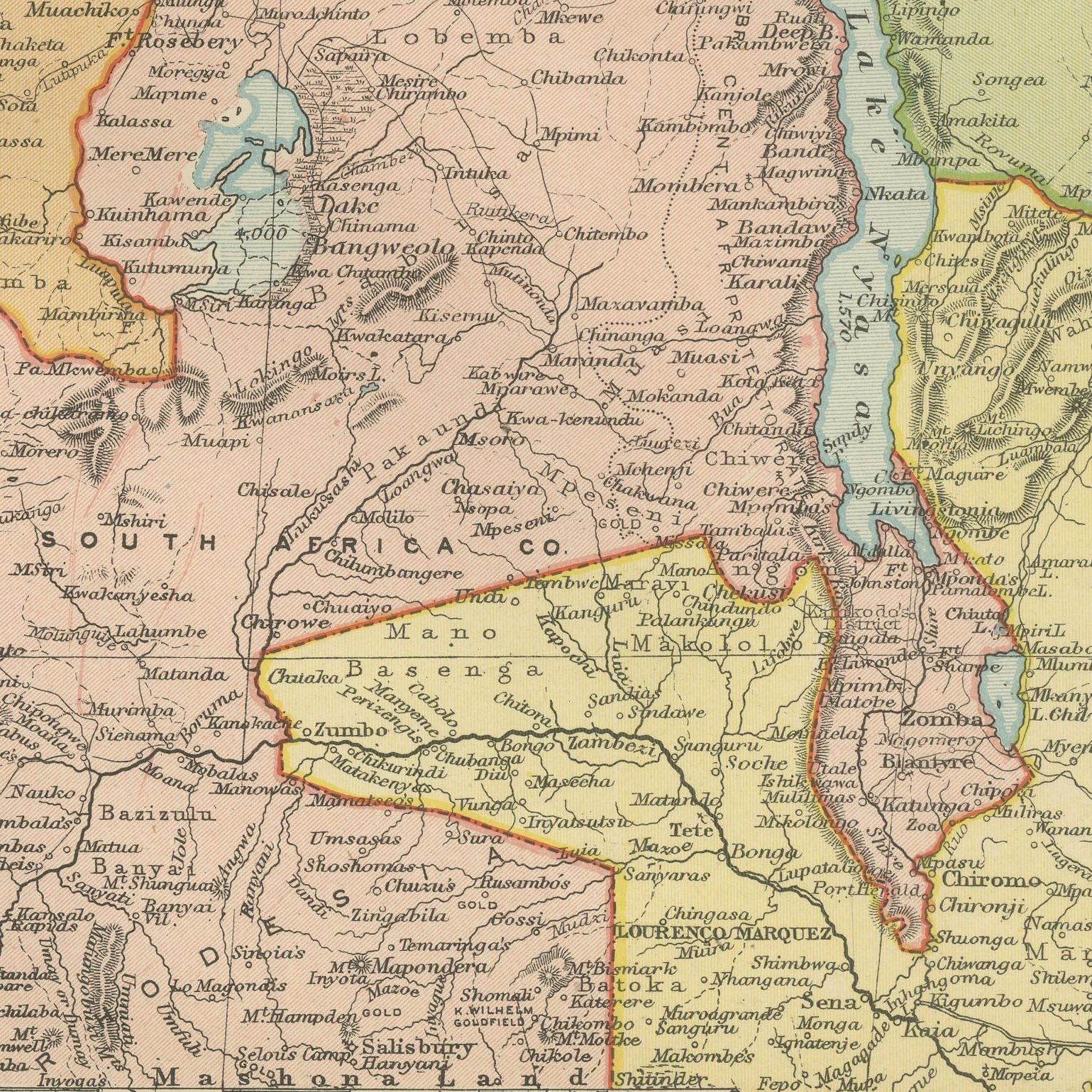
The Congo Free State on this map was the personal property of King Leopold the Second of the Belgians, and the sheet was printed just as the first reports of the rubber atrocities were reaching Europe. Stanley Falls, Katanga and the Lualaba are named, and the frontier with Rhodesia is drawn where the Company had pushed it. Salisbury, now Harare, appears as a grid of streets eight years old. Few maps carry more colonial history on one sheet.
Moderate overall age toning, with the paper darker along the top edge and a few handling marks in the margins. The printed image itself is clean.
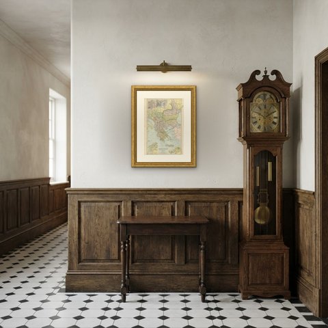
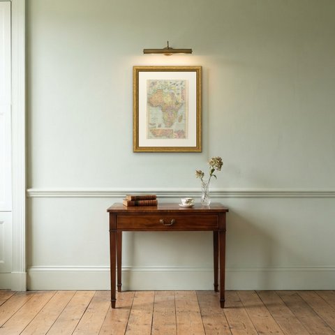
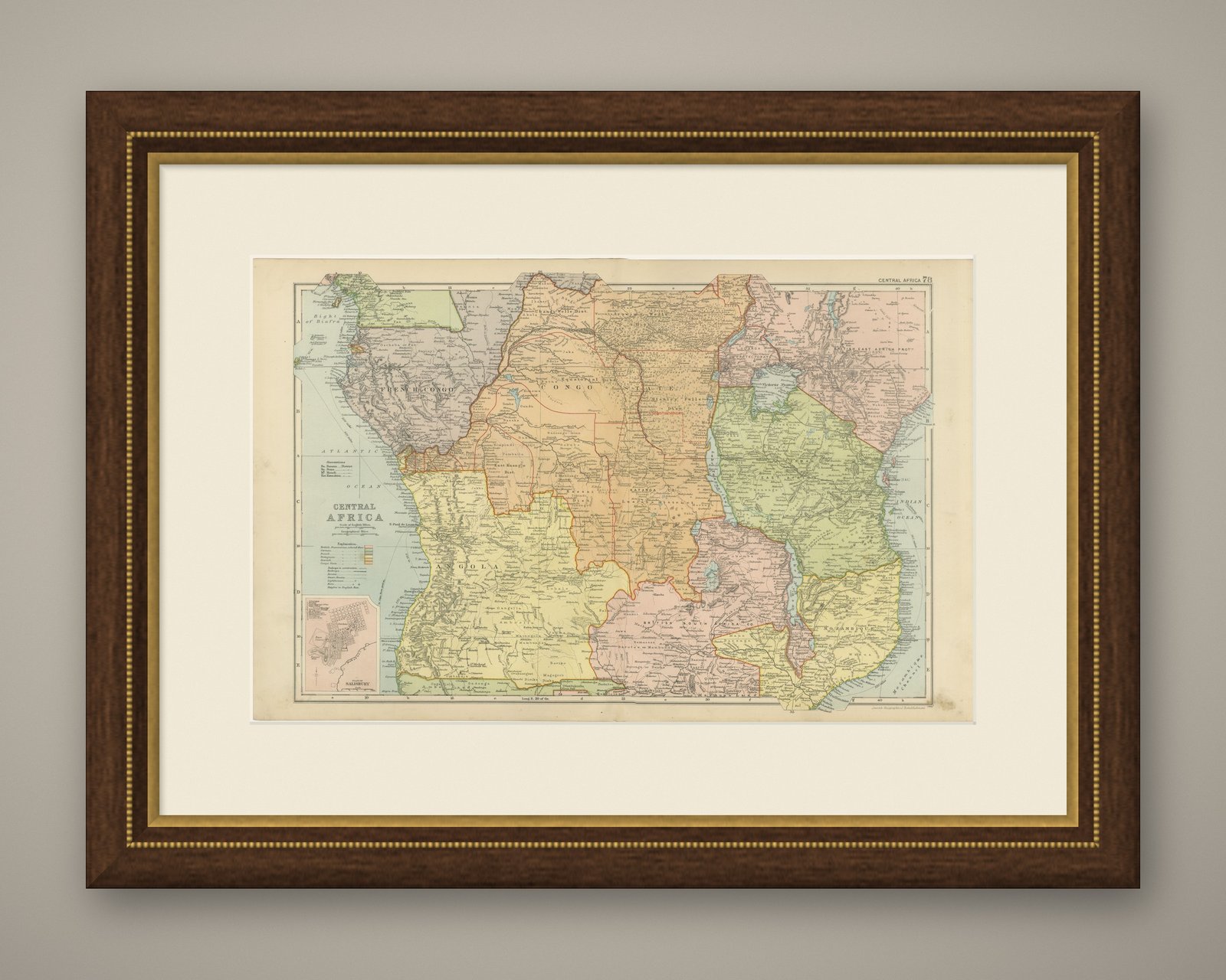
Hung in a plain frame with a generous mount, a map of this scale makes a strong center for a room, and it pairs naturally with other sheets from the same atlas if a wall calls for a group. It is equally at home in a study, a dining room or a set of offices. This is an original antique map, not a modern reproduction. This item is sold unframed.