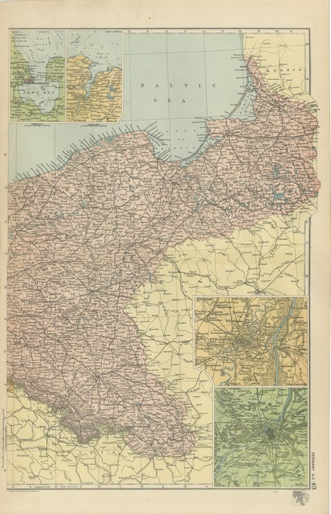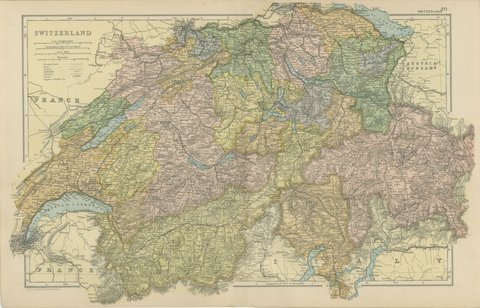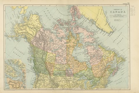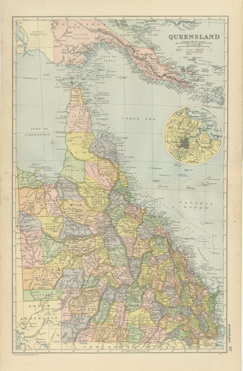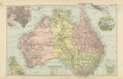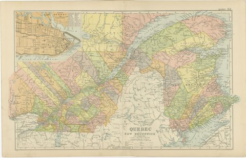
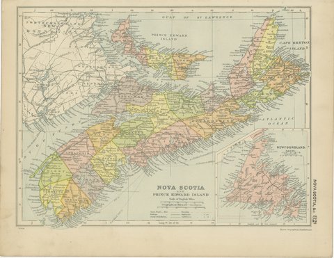
 The sheet, as you receive it
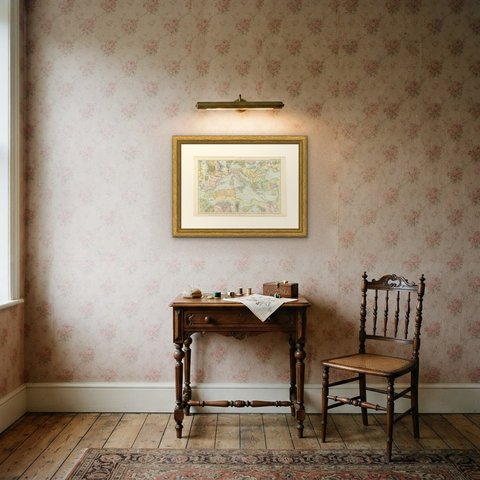
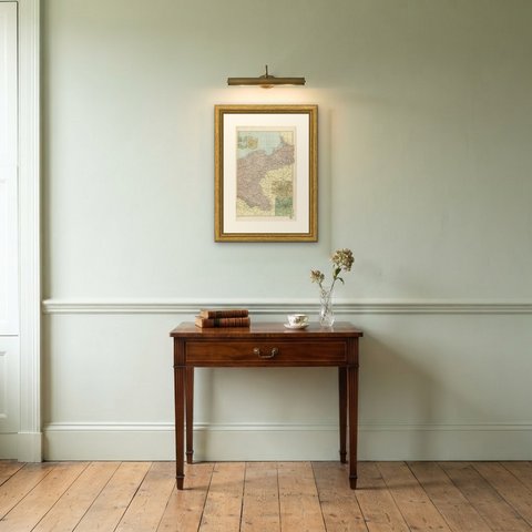
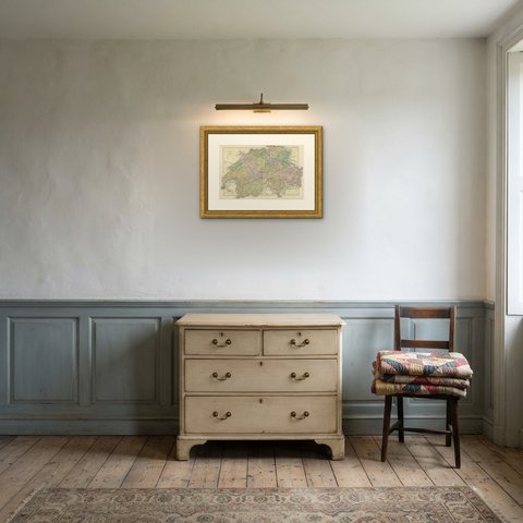
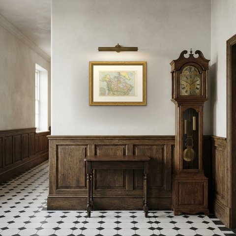
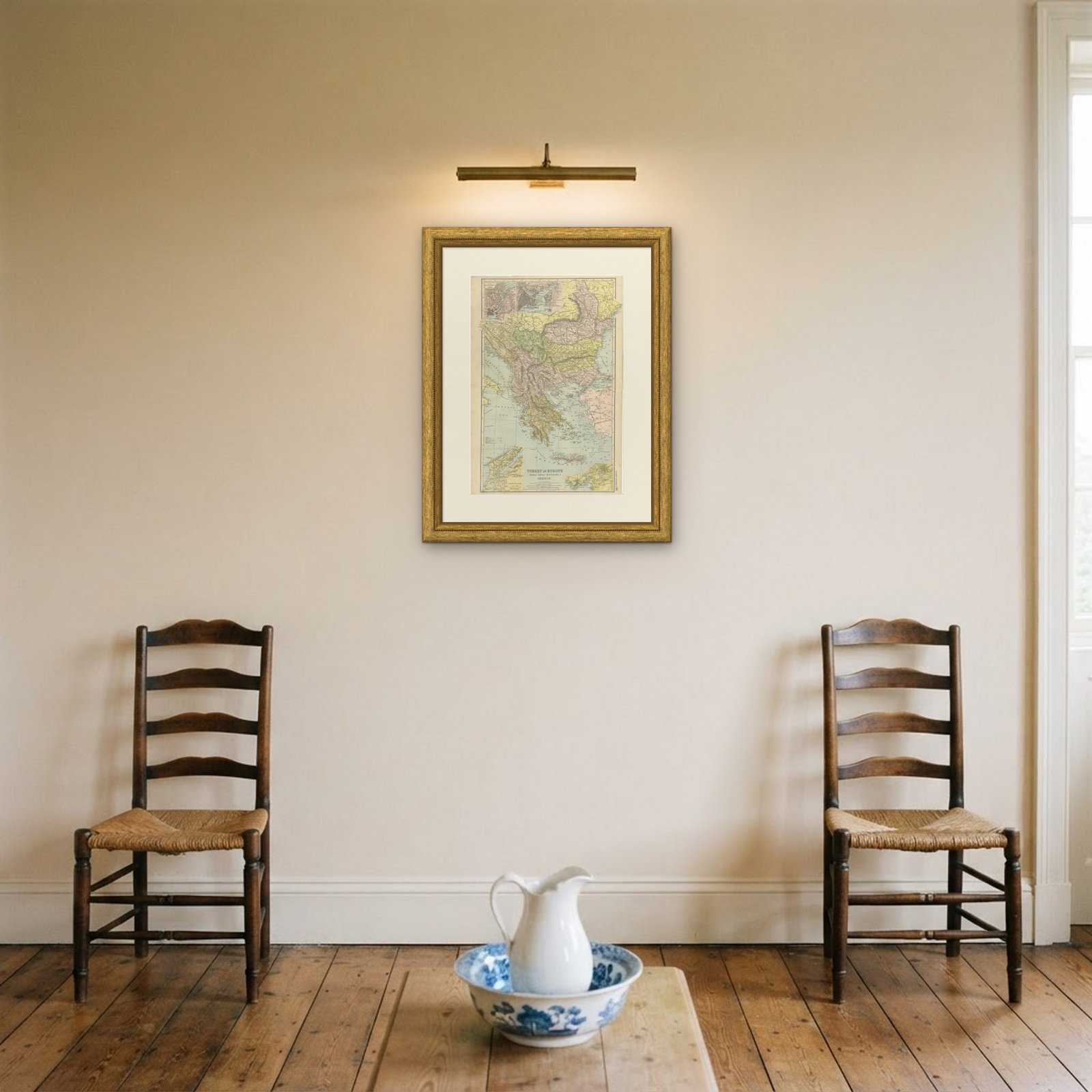
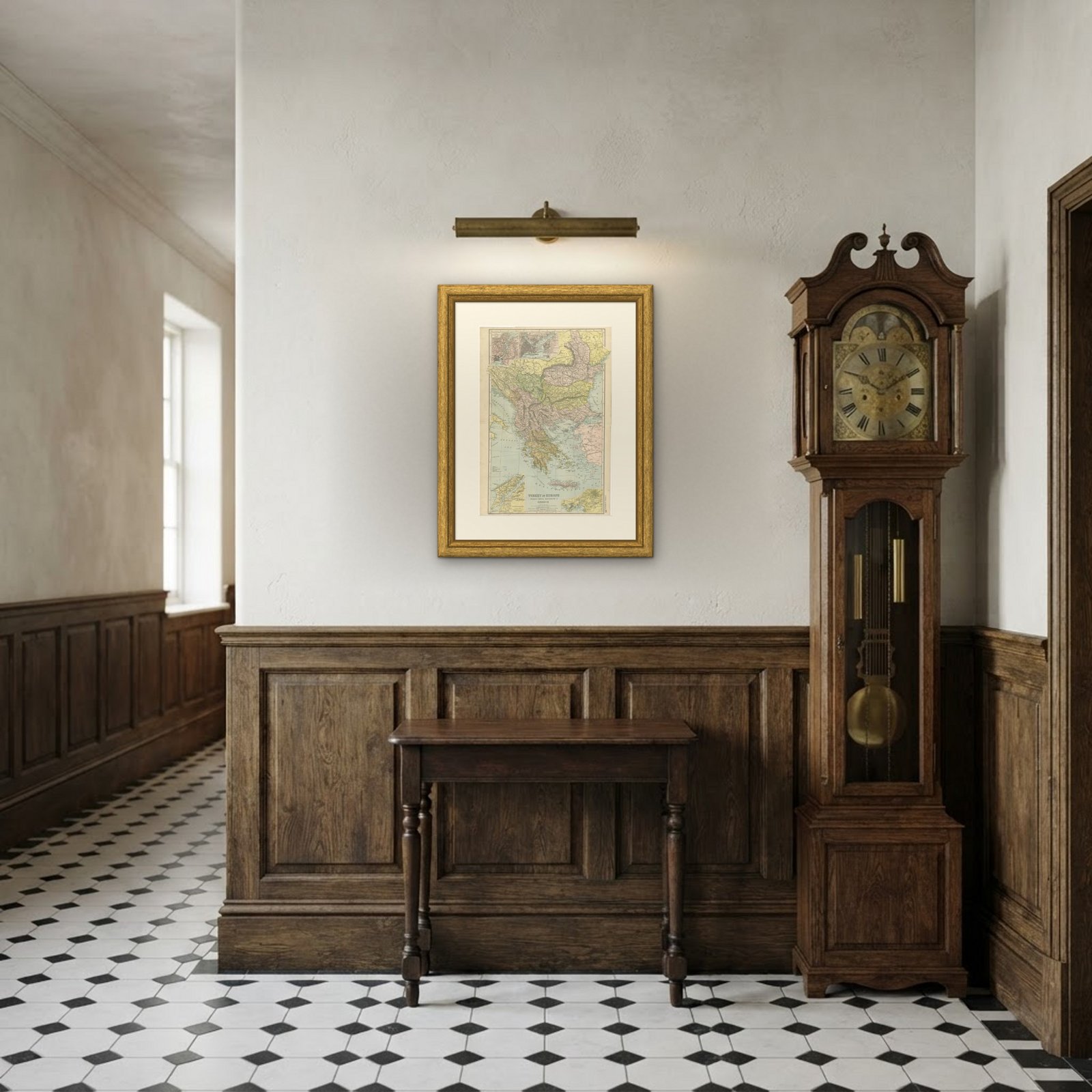 In the room
Interior designers: BarTrade members buy at their trade price. How it works
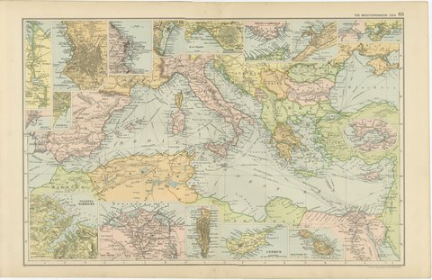
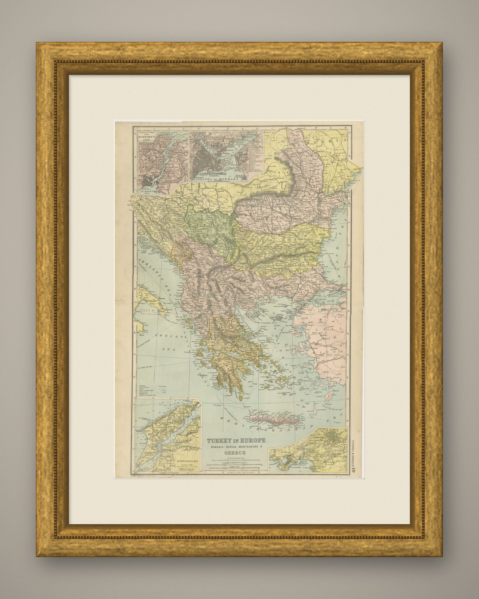
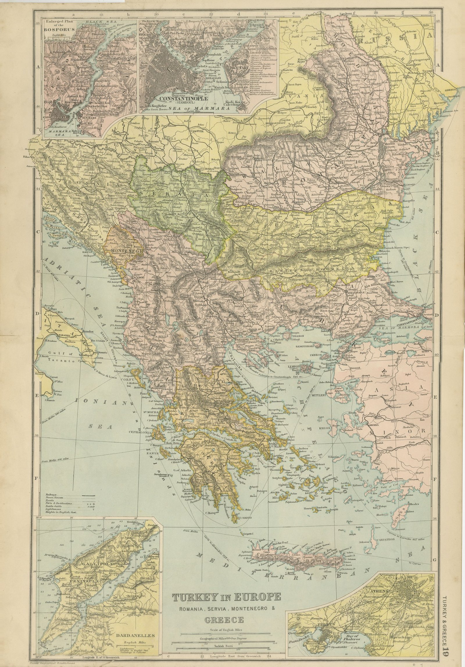
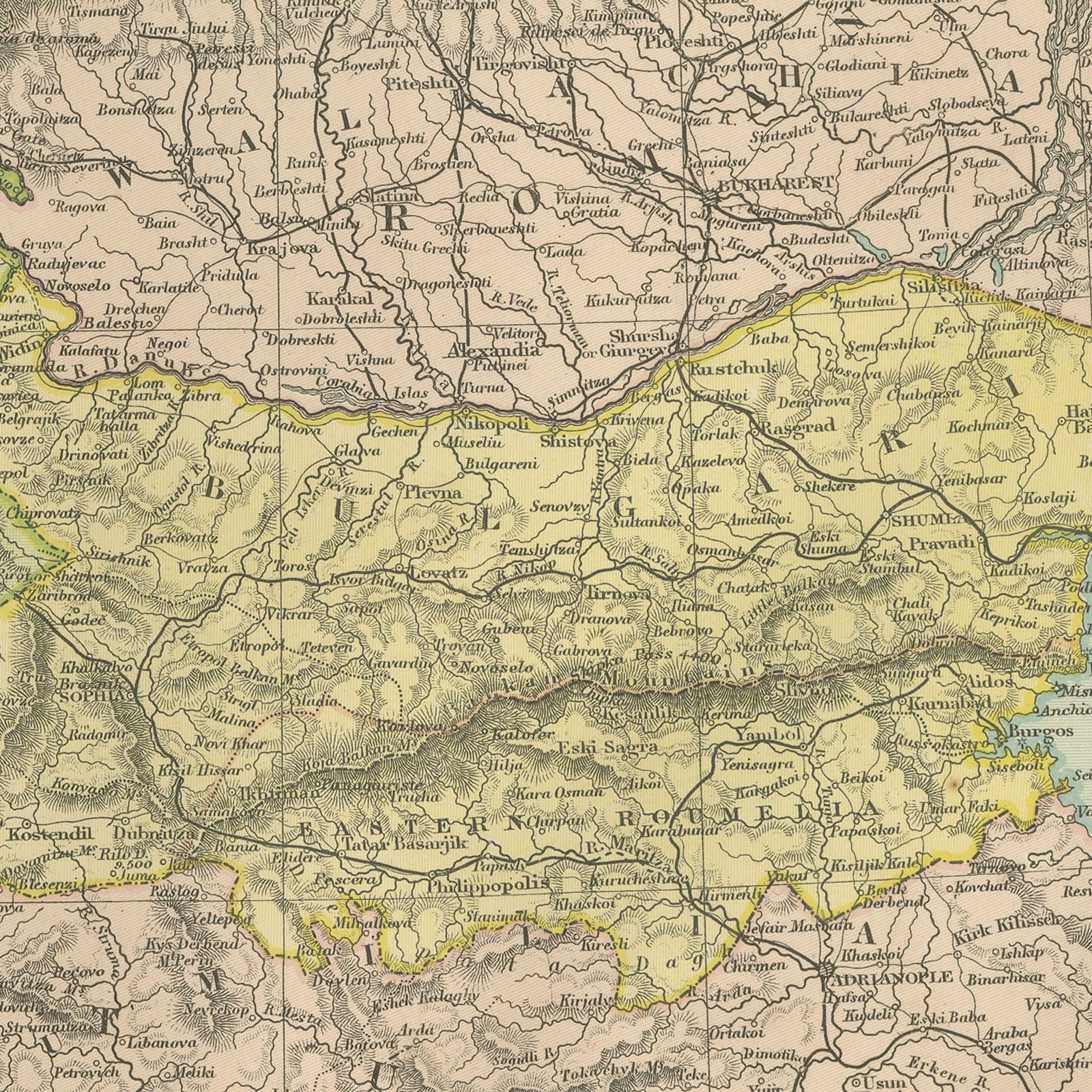
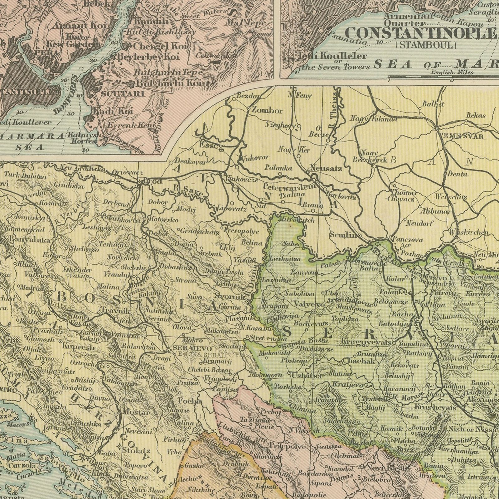
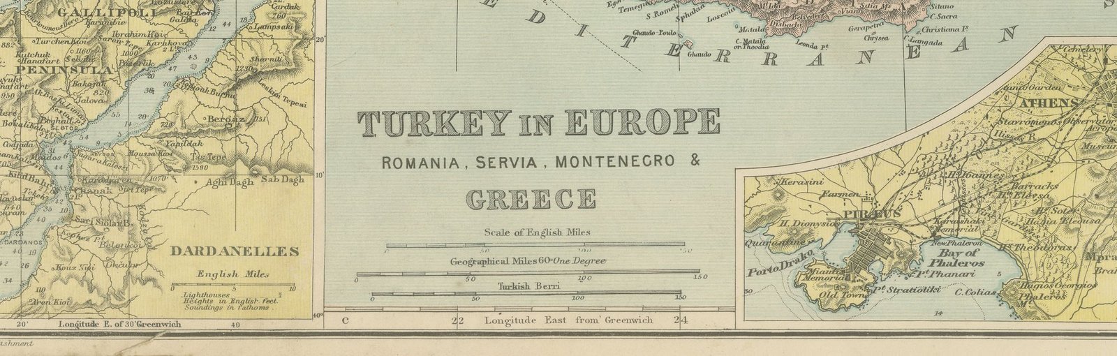
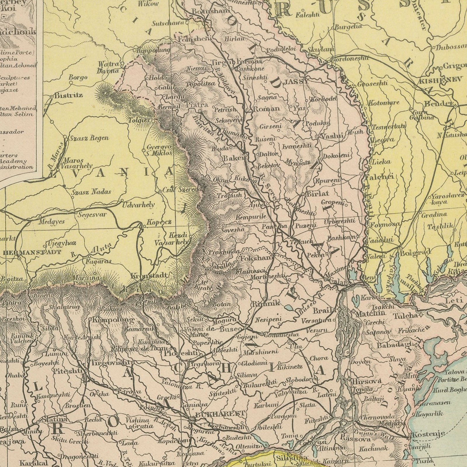
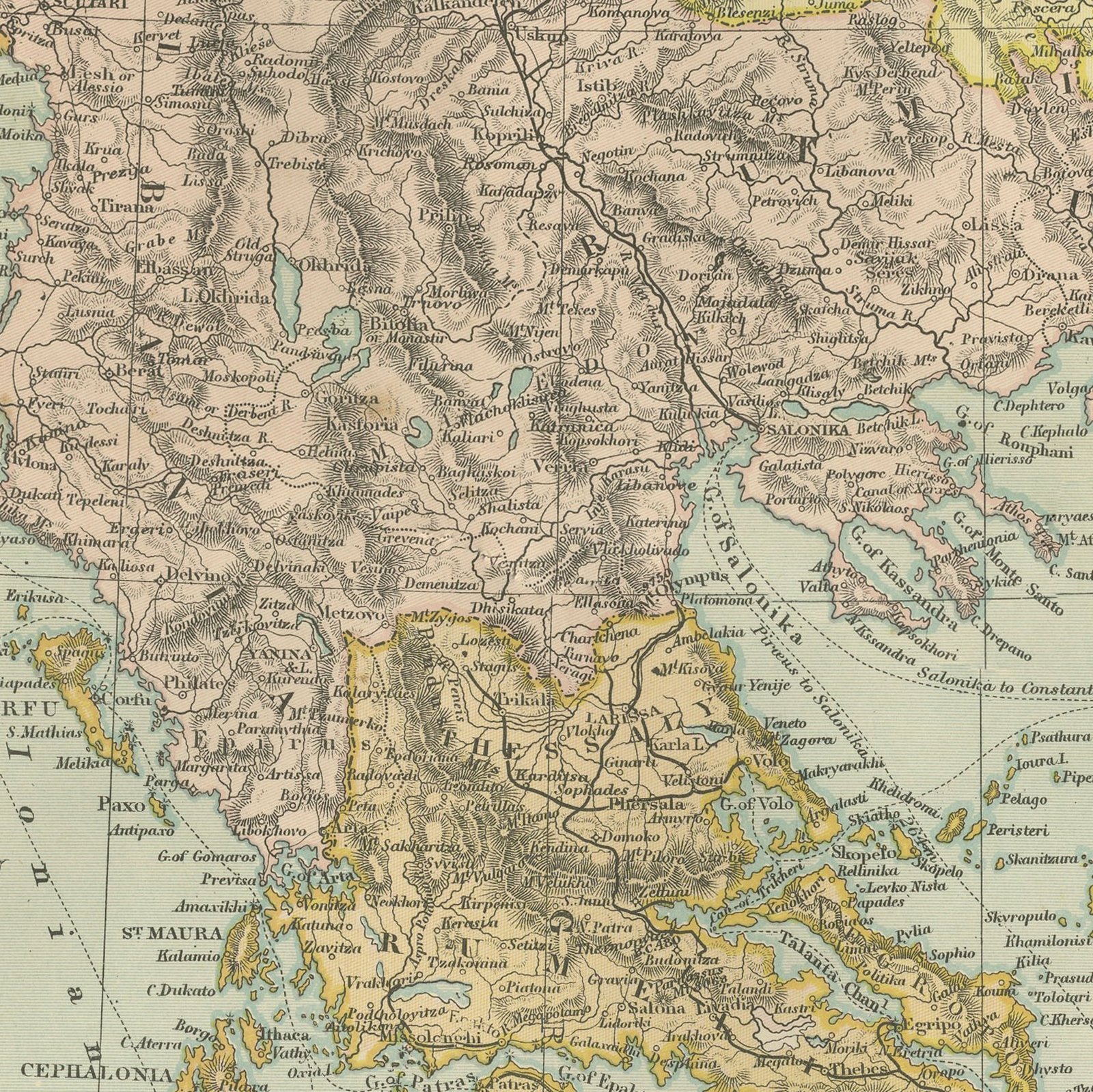
An original antique map of Turkey in Europe, Romania, Servia, Montenegro and Greece, color printed in 1898 for Bacon's Commercial and Library Atlas of the World. The upright double page covers the Balkan peninsula from the Danube to Crete, the Ottoman provinces still shown undivided and the young kingdoms colored against them. Four insets give the Bosporus, a plan of Constantinople, the Dardanelles with the Gallipoli peninsula, and Athens with its port at the Piraeus.
The sheet comes from the Commercial and Library Atlas of the World with Index-Gazetteer, edited by George Washington Bacon, Fellow of the Royal Geographical Society, and published in London by G. W. Bacon and Company, Limited, of 127 Strand, in 1898. The atlas gathered one hundred double page maps and one hundred inset maps with an alphabetical index of fifty thousand places and a gazetteer of two thousand towns, and it was sold to merchants, shipping houses and subscription libraries that needed the world kept current rather than kept beautiful.
This is the Balkans on the eve of their undoing, after the Greek defeat of 1897 and before the wars of 1912 and 1913 drove the Ottoman frontier back to the Maritsa. Almost every border on the sheet moved within fifteen years. The Gallipoli inset, drawn seventeen years before the landings, is the detail that catches most collectors, and the Constantinople plan is good enough to trace the old city walls on.
Warm cream paper, evenly age toned, with a very narrow margin and the map printed to the edge of the sheet. The top edge is uneven and cut away at the outer corner, with light handling marks in the left margin.
Hung in a plain frame with a generous mount, a map of this scale makes a strong center for a room, and it pairs naturally with other sheets from the same atlas if a wall calls for a group. It is equally at home in a study, a dining room or a set of offices. This is an original antique map, not a modern reproduction. This item is sold unframed.