 The sheet, as you receive it
 In the room

Interior designers: BarTrade members buy at their trade price. How it works
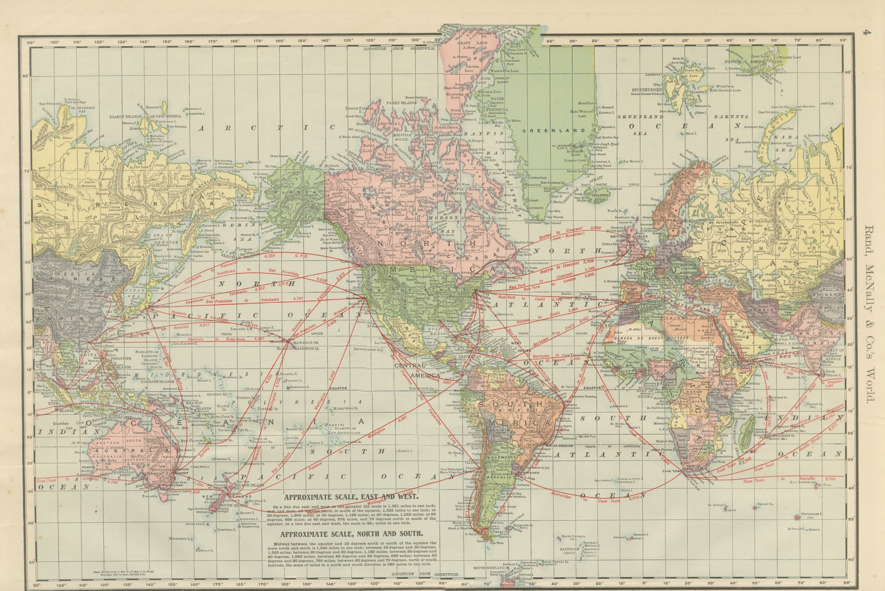
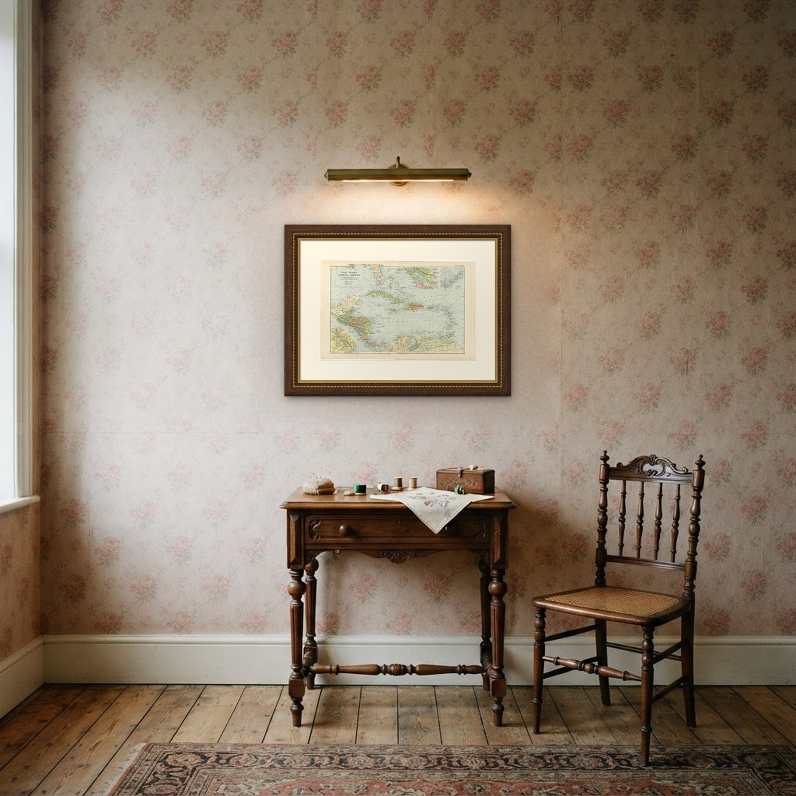
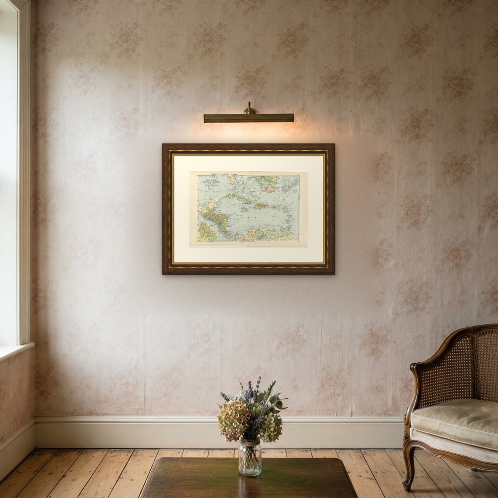
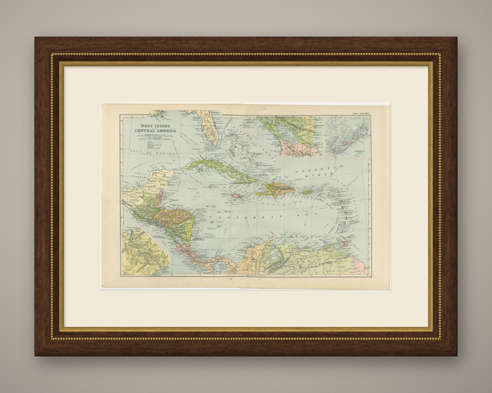
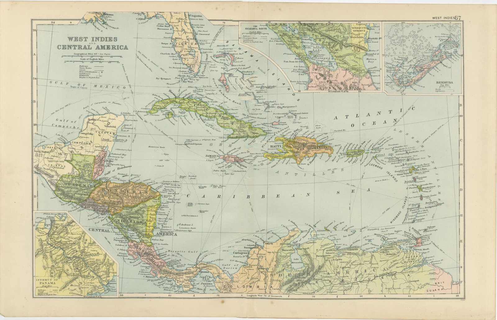
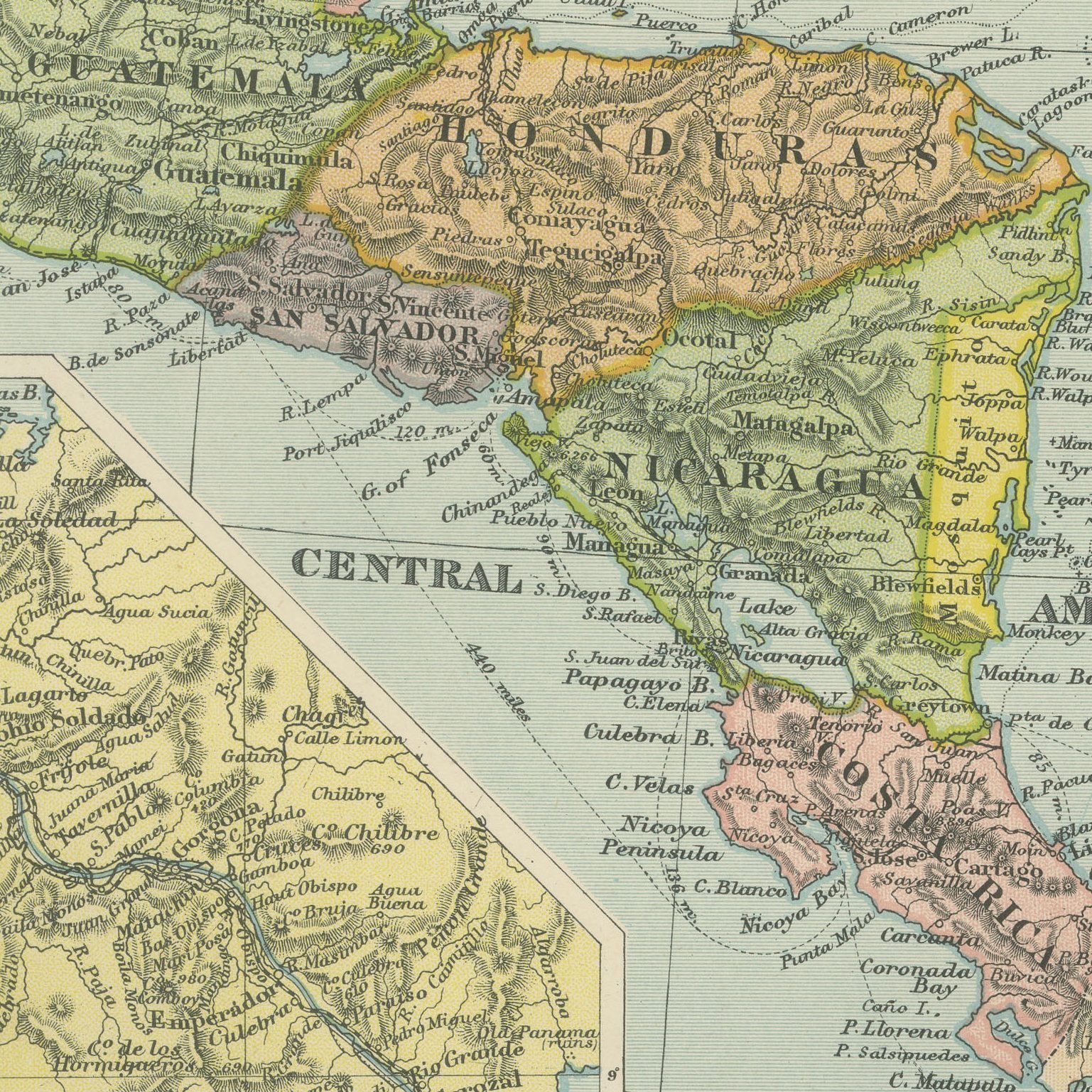
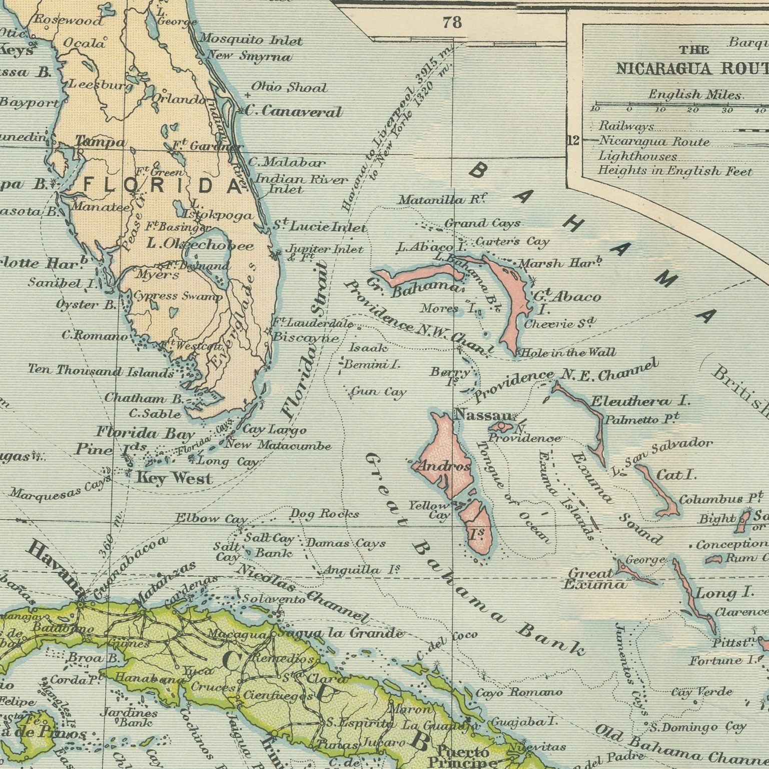
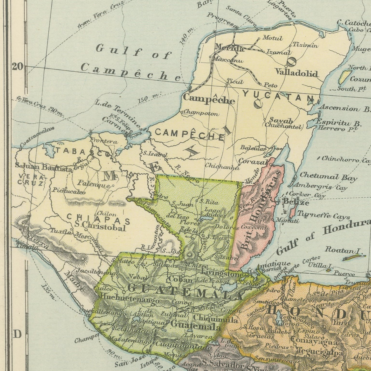
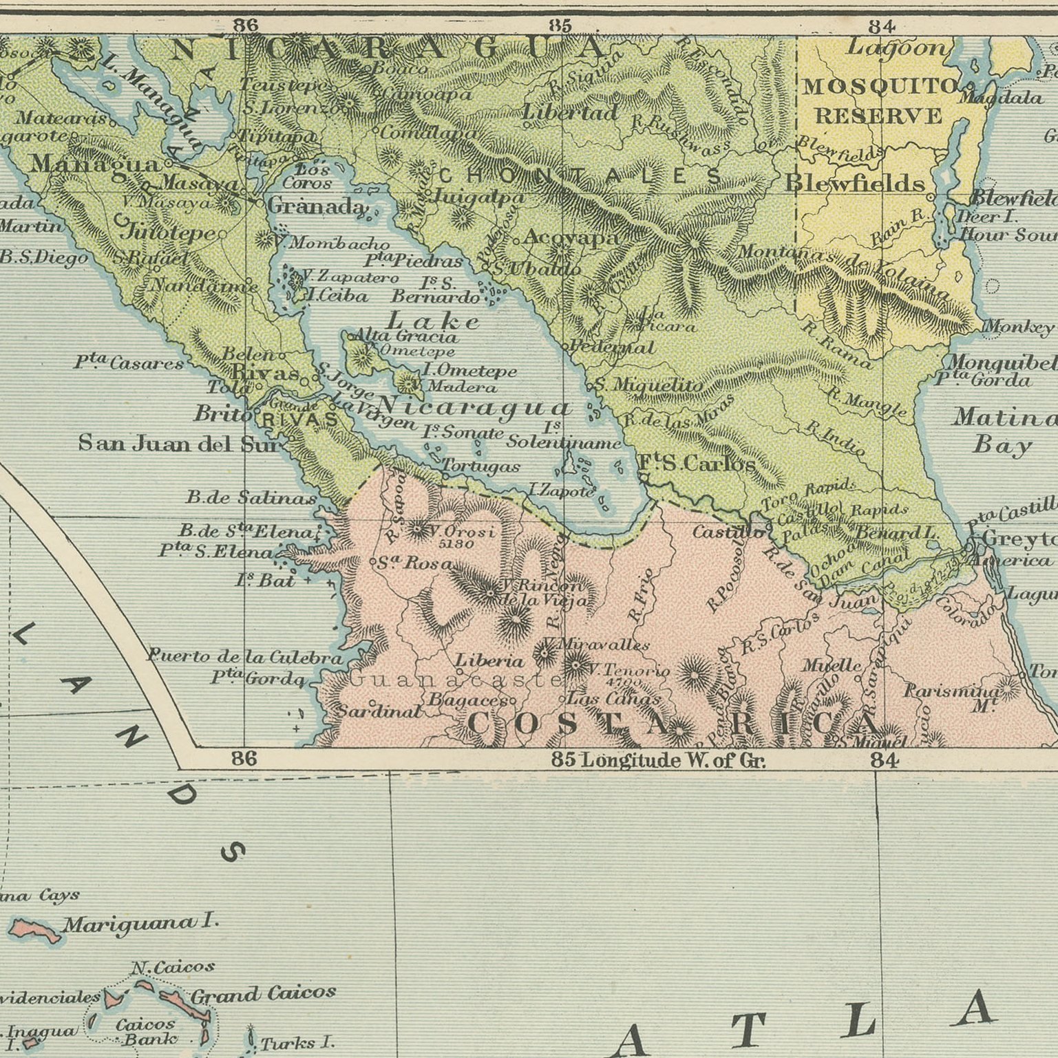
An original antique map of the West Indies and Central America, color printed in London in 1898 for G. W. Bacon's Commercial and Library Atlas of the World. The Caribbean fills the double page from Florida and the Bahamas to the Guianas, with Cuba, Haiti, Jamaica and the Antilles drawn island by island and colored by possession, and the mainland republics from Guatemala to Colombia along the western edge. Four insets give the proposed Nicaragua Route, Bermuda, the Isthmus of Panama and Central America at a larger scale.
Bacon's Commercial and Library Atlas of the World appeared from 127 Strand in 1898, edited by George Washington Bacon, an American who settled in London and built one of the busiest map houses in Victorian Britain. The volume ran to one hundred double page maps and one hundred insets, backed by an index of fifty thousand places, and its plates were drawn, printed and colored at Bacon's own Geographical Establishment, whose imprint appears in the lower margin of the sheets.
The Nicaragua inset is the one to look at. In 1898 the United States had not yet decided where to cut an isthmian canal, and the Nicaraguan line through Lake Nicaragua was the favorite; the Panama scheme had collapsed in French bankruptcy. The map shows both routes while the question was open. It was also printed in the year of the Spanish American War, with Cuba and Puerto Rico shown as Spanish for the last time.
Light overall age toning, with the paper darker along the top edge, a few handling marks in the margins and wear to the top right corner. The printed image itself is clean.
Framed simply, a sheet of this size holds a wall on its own, and the clear color printing reads well across a room. It suits a study, a library, an office or a hallway, and it is an easy gift for anyone with a connection to the place it shows. This is an original antique map, not a modern reproduction. This item is sold unframed.