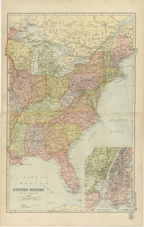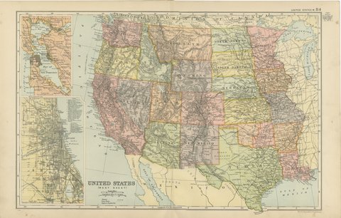
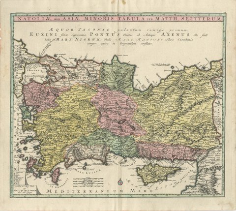
 The sheet, as you receive it
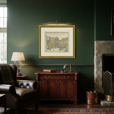
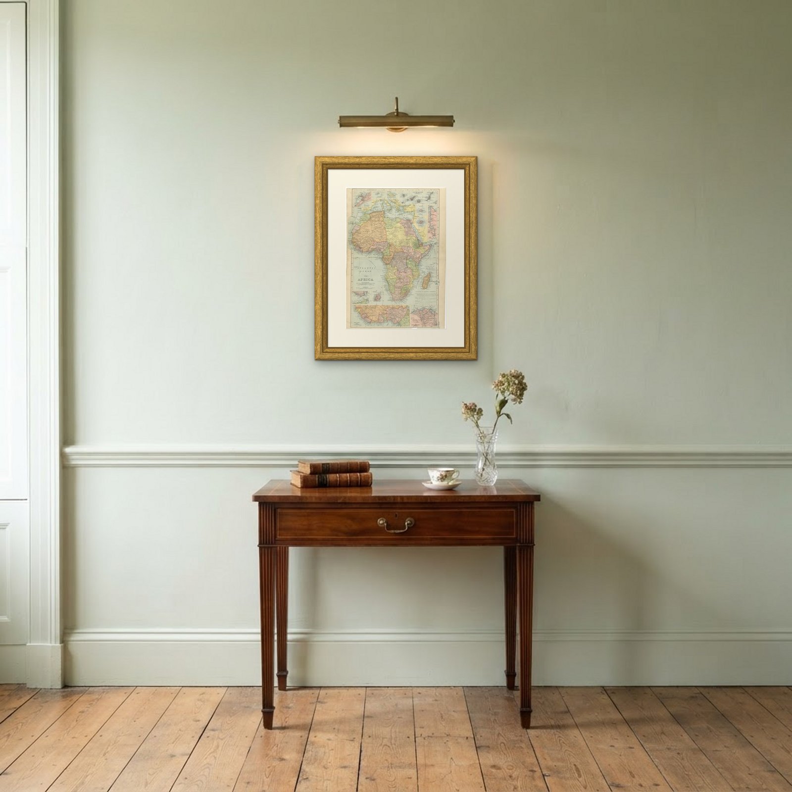 In the room
Interior designers: BarTrade members buy at their trade price. How it works
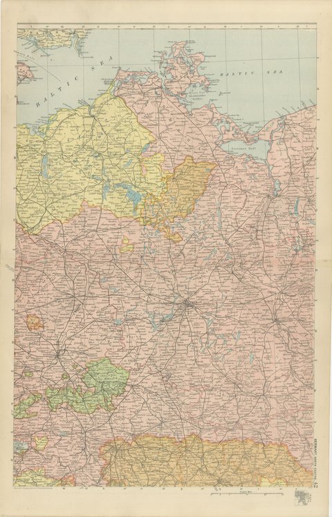
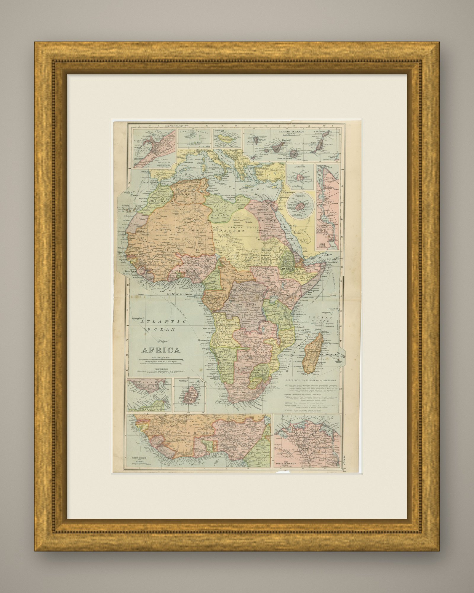
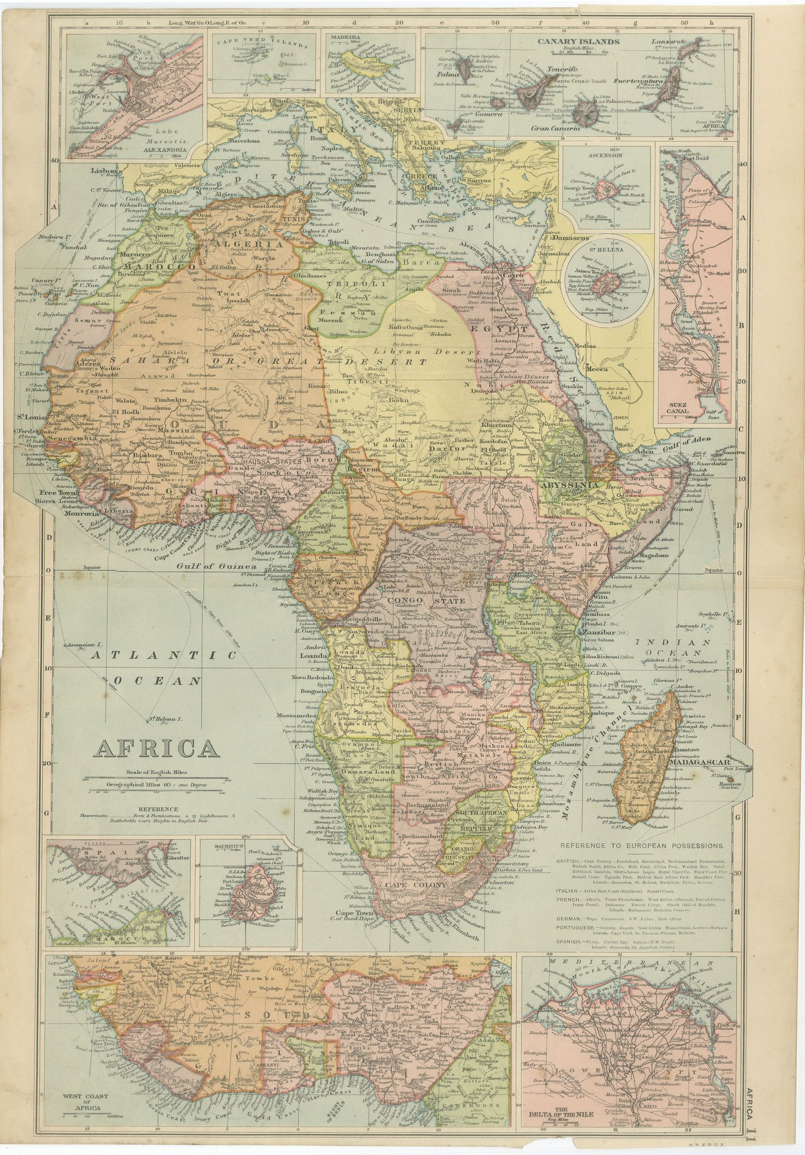
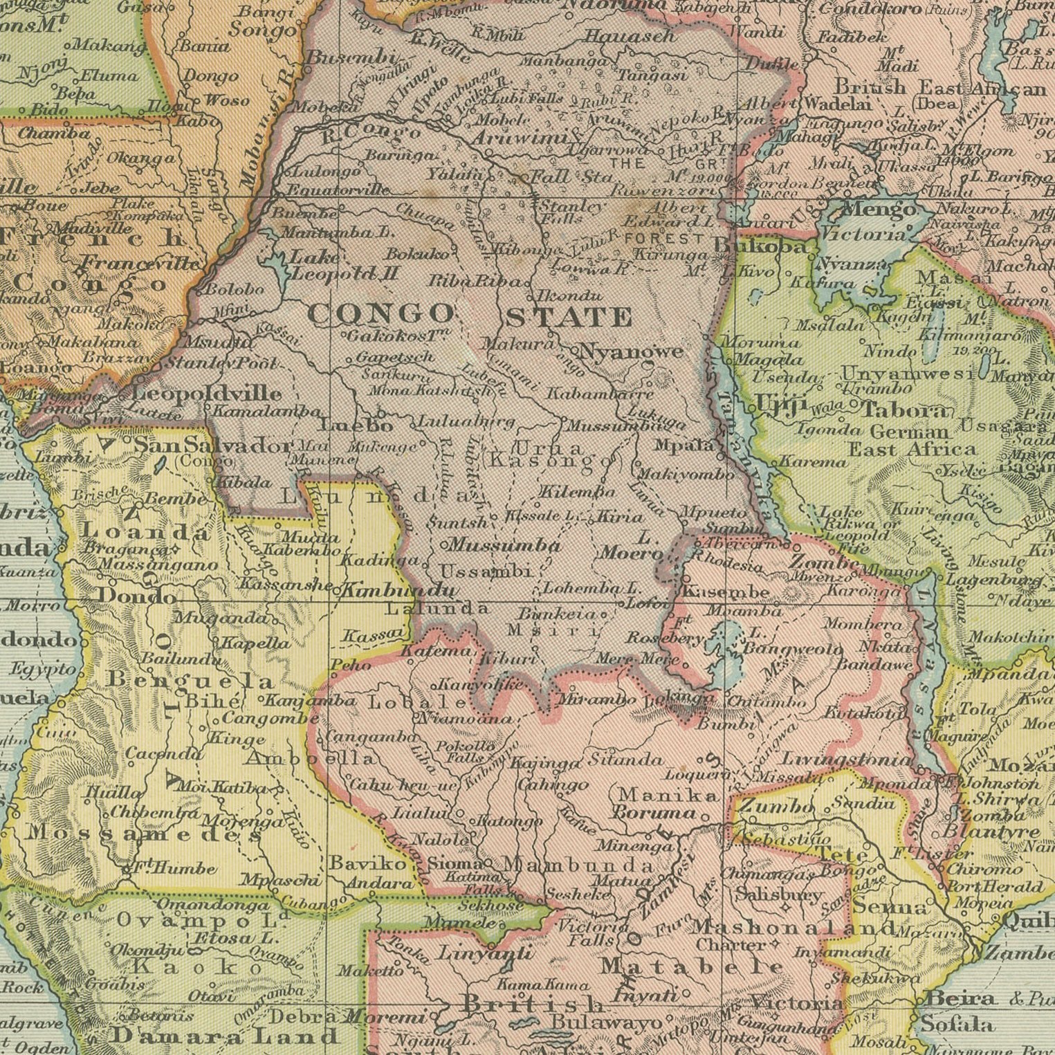
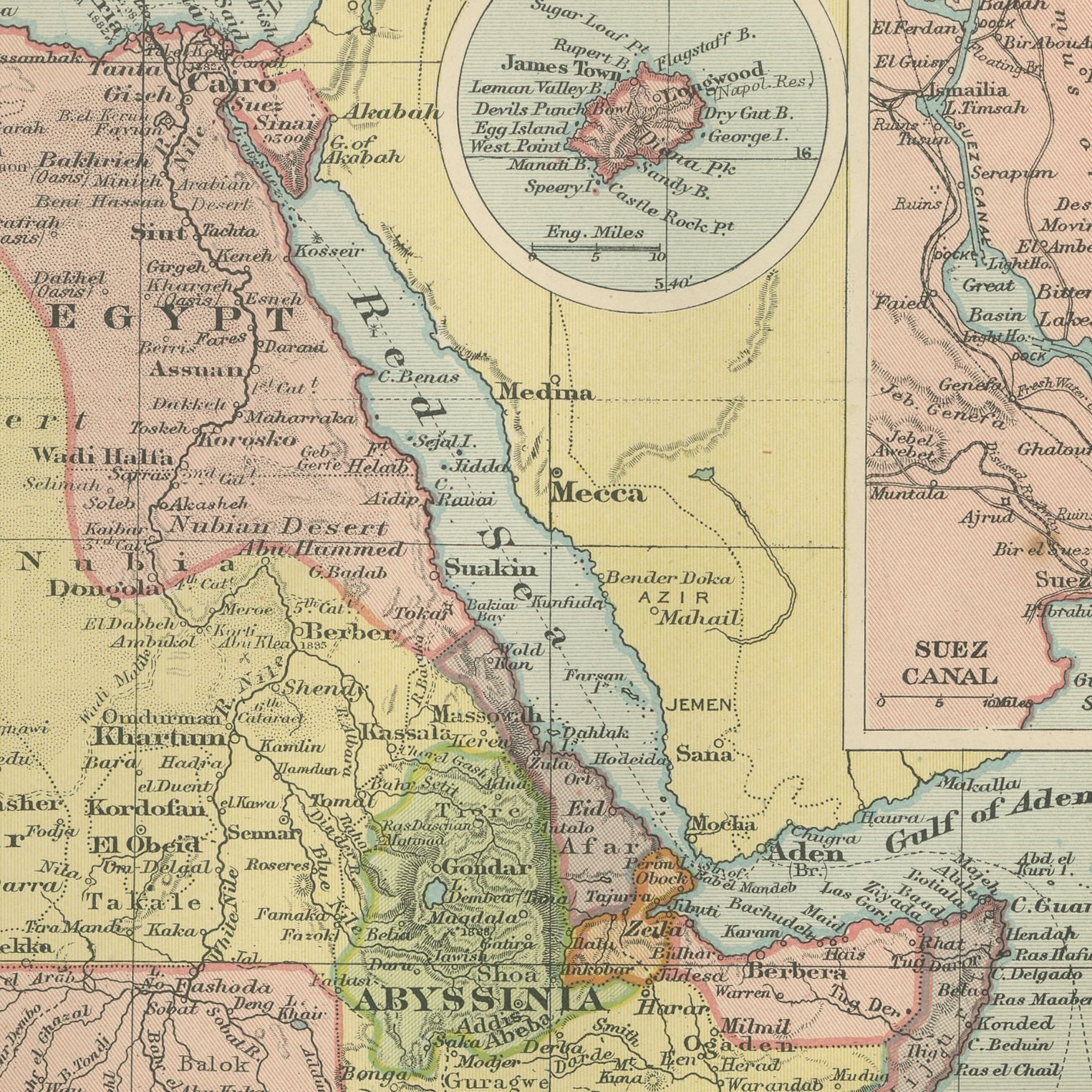
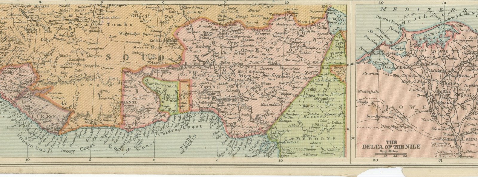
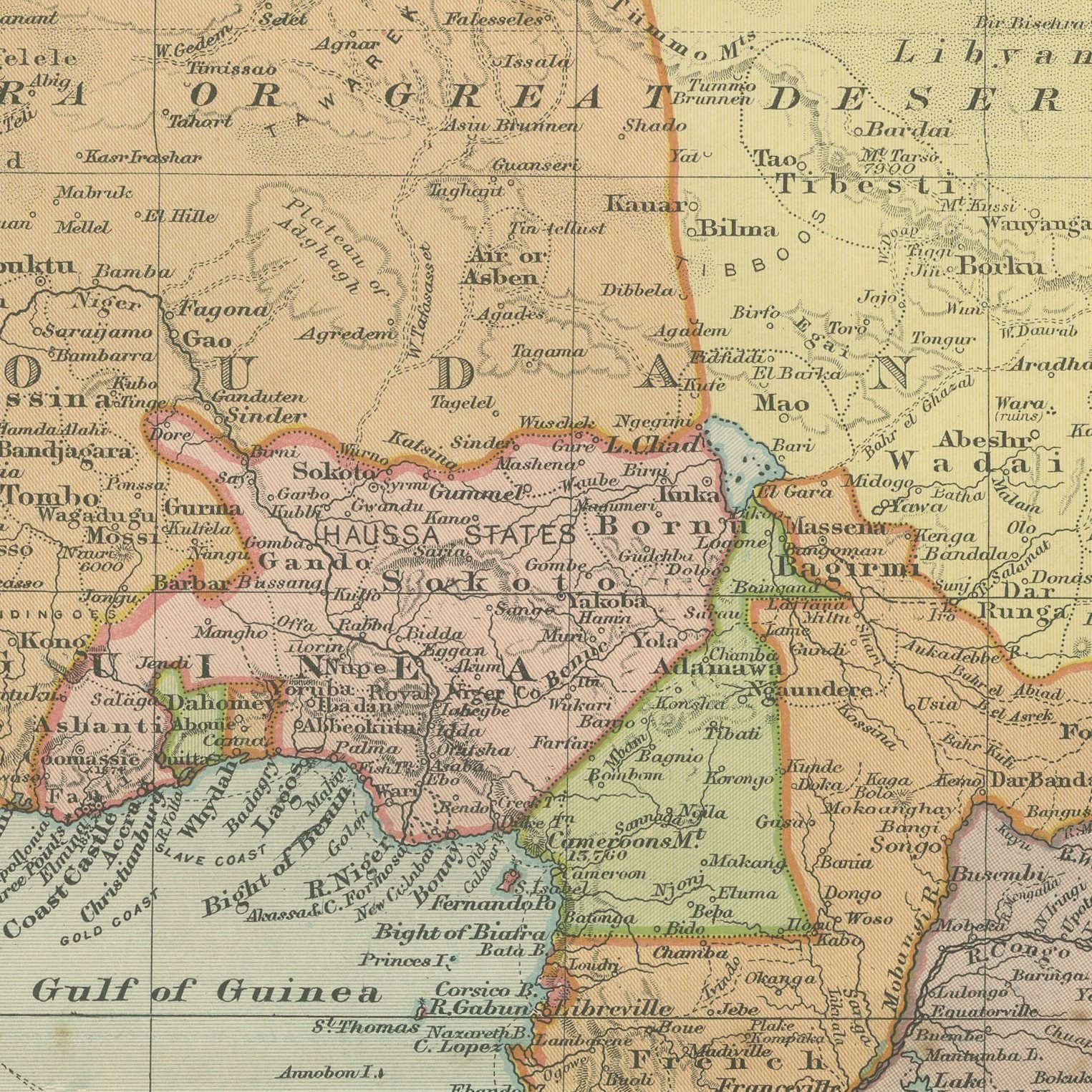
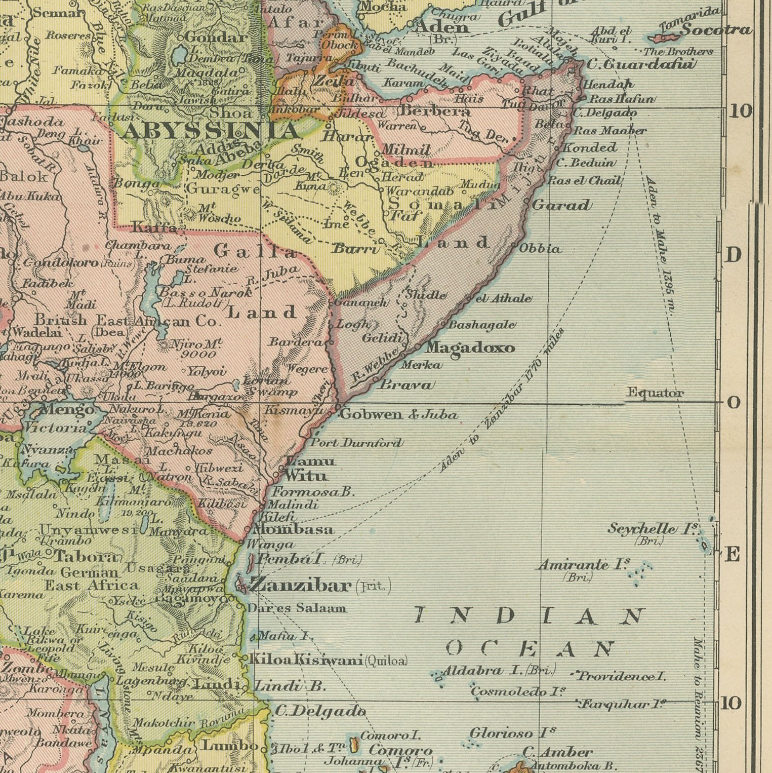
An original antique map of the whole of Africa, color printed in London in 1898 for G. W. Bacon's Commercial and Library Atlas of the World. The continent fills an upright double page, each European possession in its own flat color, with a printed key to British, French, German, Portuguese, Italian and Spanish territory. Ten inset maps crowd the margins: the Suez Canal, the Delta of the Nile, Alexandria, Madeira, the Canary Islands, the Cape Verde Islands, Ascension, Saint Helena, Mauritius and an enlarged west coast.
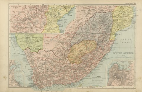
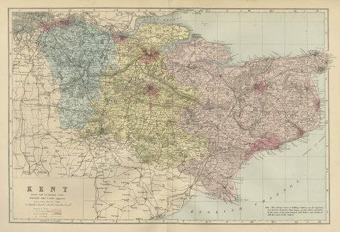
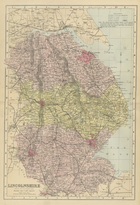
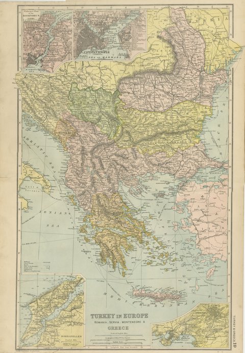
The sheet comes from the Commercial and Library Atlas of the World with Index-Gazetteer, edited by George Washington Bacon, Fellow of the Royal Geographical Society, and published in London by G. W. Bacon and Company, Limited, of 127 Strand, in 1898. The atlas gathered one hundred double page maps and one hundred inset maps with an alphabetical index of fifty thousand places and a gazetteer of two thousand towns, and it was sold to merchants, shipping houses and subscription libraries that needed the world kept current rather than kept beautiful.
Africa in 1898 is the single most telling map in any atlas of the period, because the partition agreed at Berlin had just been drawn on the ground and almost none of it would survive the century. Here the Congo Free State is still Leopold's private possession, the Soudan is marked as unsettled, and Rhodesia is lettered for a company rather than a country.
Even age toning, the paper a warm cream, with a few handling marks in the margins and the lower right corner and the bottom edge irregular where the leaf was cut from the volume. The printed image itself is clean.
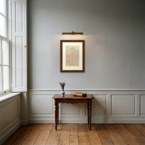
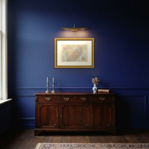
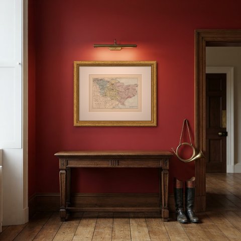
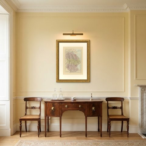
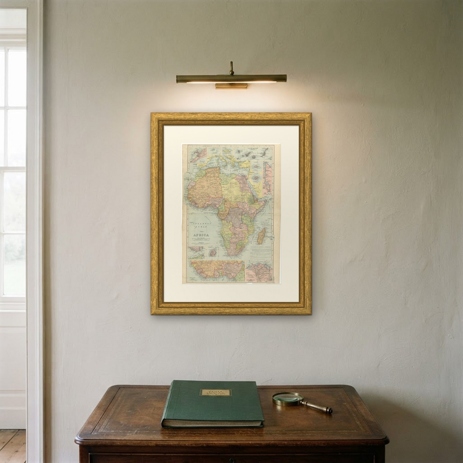
The sheet is large enough to carry a chimney breast or a stairwell and quiet enough in color to sit with books and furniture rather than compete with them. Collectors of Victorian cartography, interior designers and anyone with a tie to the region will find a use for it. This is an original antique map, not a modern reproduction. This item is sold unframed.