 The sheet, as you receive it
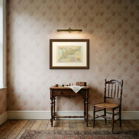
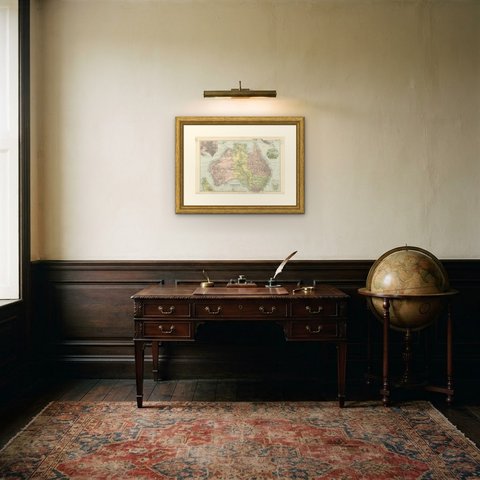
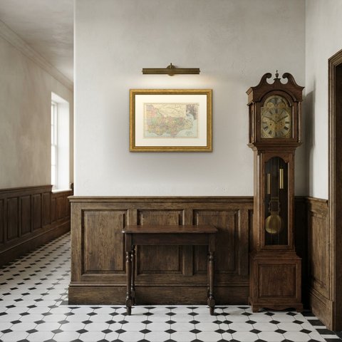
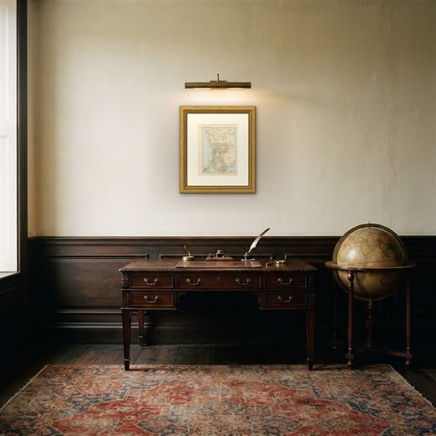
 In the room
Interior designers: BarTrade members buy at their trade price. How it works
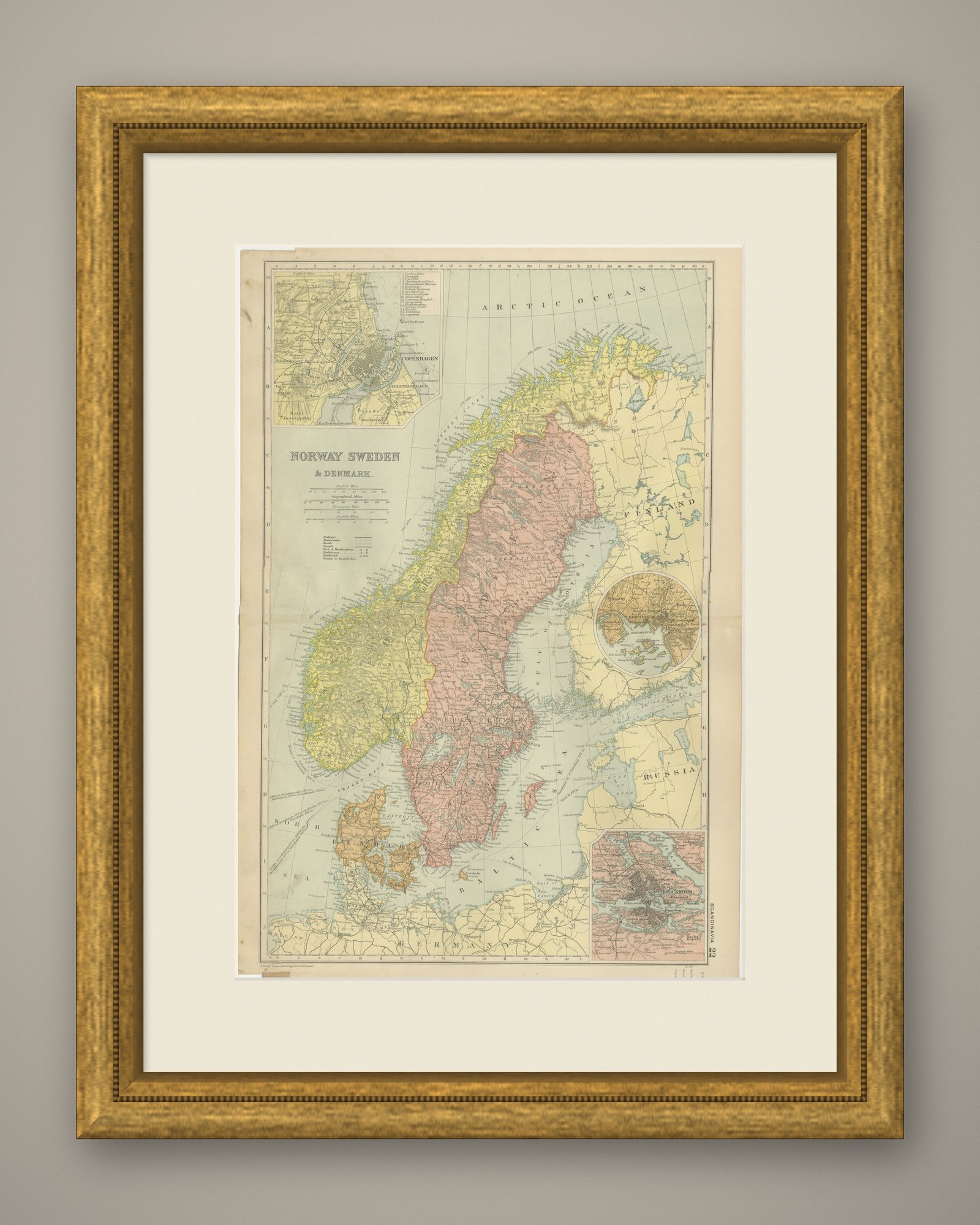
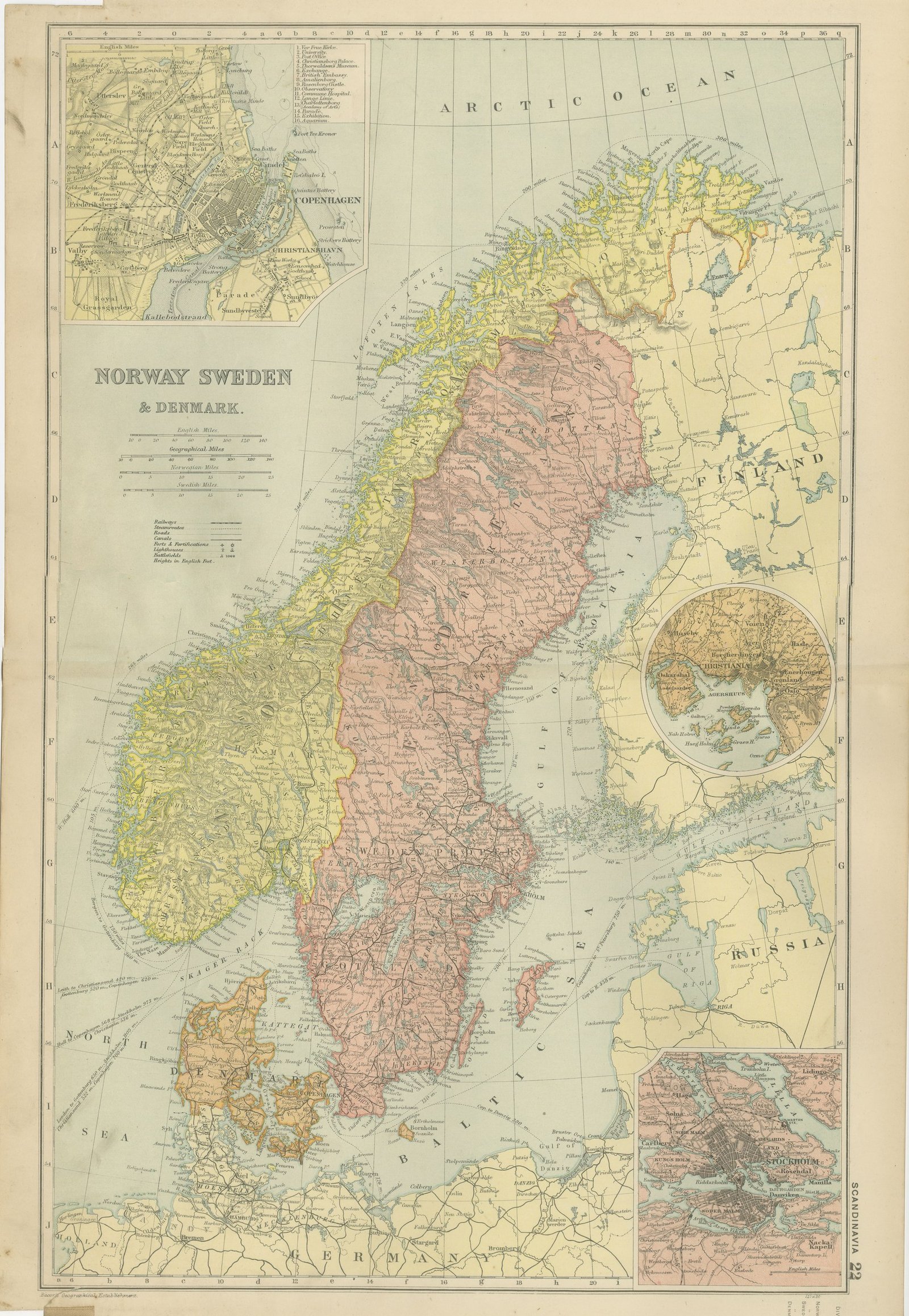
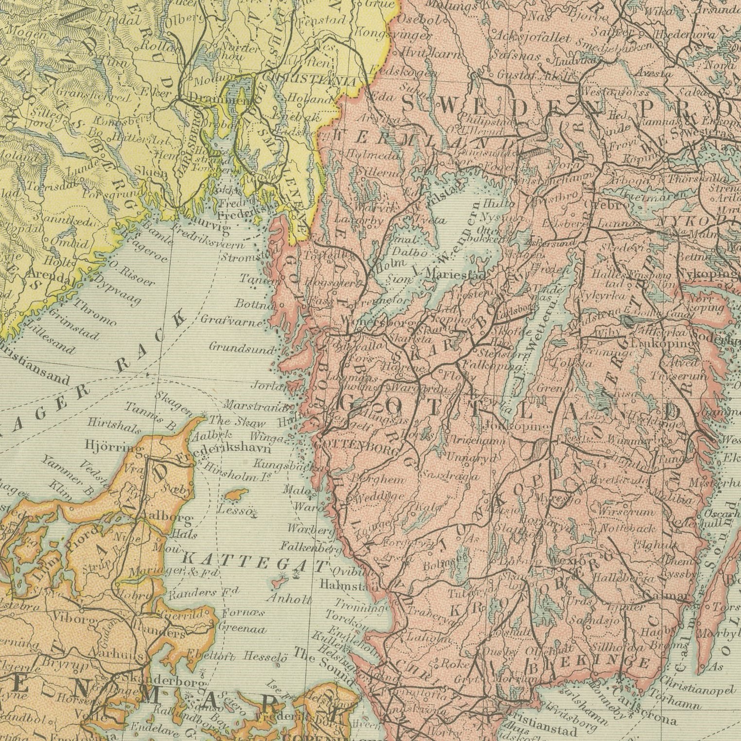
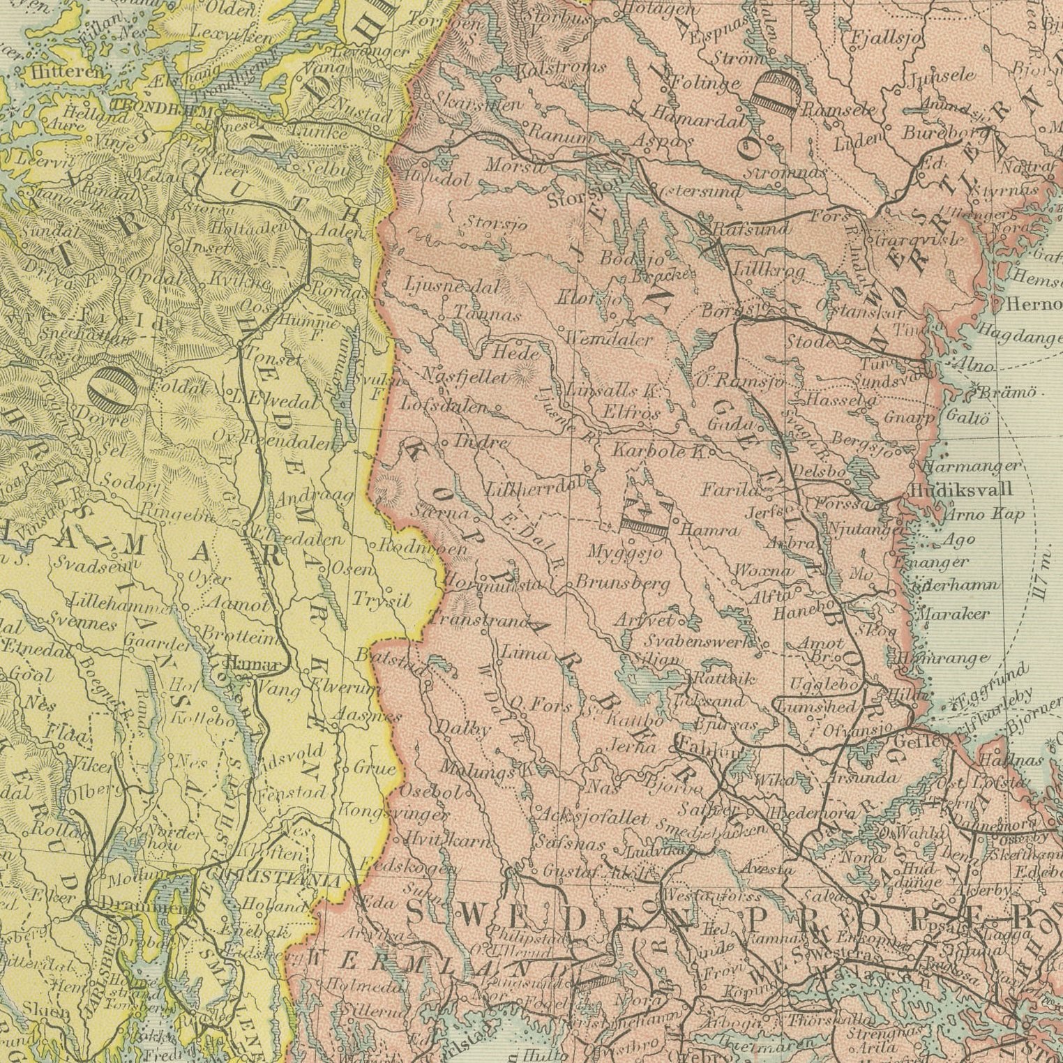
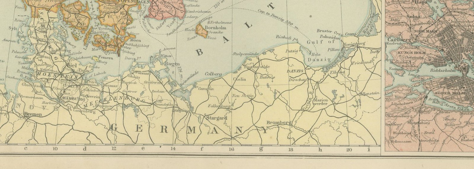
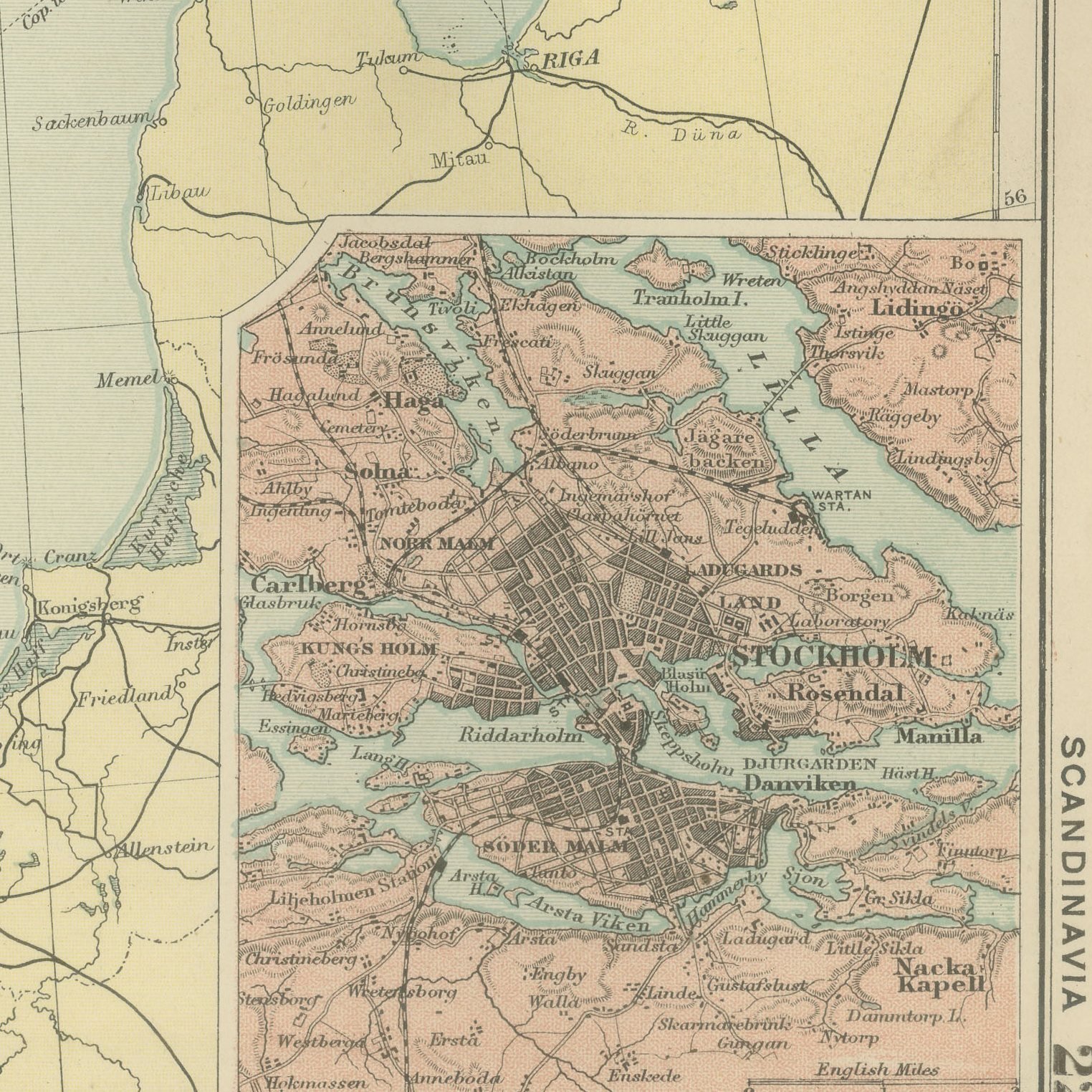
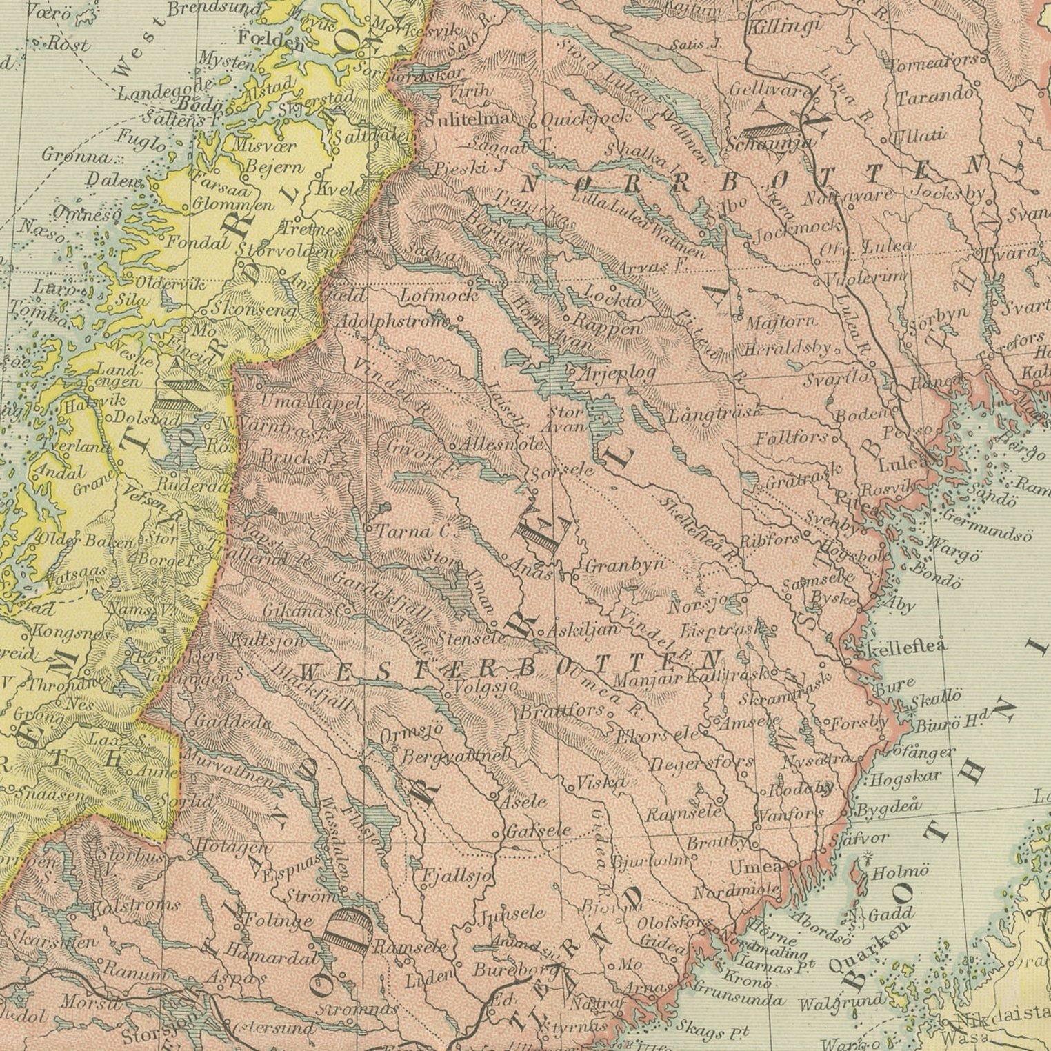
Original antique map of Norway, Sweden and Denmark, color printed in London in 1898 for G. W. Bacon's Commercial and Library Atlas of the World. The peninsula fills an upright double page from the North Cape to the Skagerrak, the Norwegian fiords cut deep into the western coast, the Swedish provinces and the Danish islands separately colored, and the railways and steamer routes marked throughout. Three insets give plans of Copenhagen, Christiania and Stockholm.
Bacon's Commercial and Library Atlas of the World appeared from 127 Strand in 1898, edited by George Washington Bacon, an American who settled in London and built one of the busiest map houses in Victorian Britain. The volume ran to one hundred double page maps and one hundred insets, backed by an index of fifty thousand places, and its plates were drawn, printed and colored at Bacon's own Geographical Establishment, whose imprint appears in the lower margin of the sheets.
Norway and Sweden were still a single united kingdom under one crown when this was printed, and the sheet shows them that way, seven years before the union was dissolved in 1905. Christiania has not yet become Oslo. For buyers of Nordic descent, which is a large and steady market, the combination of a correct pre-1905 political map with legible parish and town names is exactly what is wanted, and the three city plans make it useful as well as decorative.
Moderate overall age toning, with a few handling marks in the margins and light handling wear at the top left corner. The printed image itself is clean.
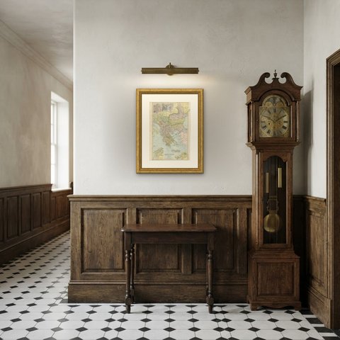
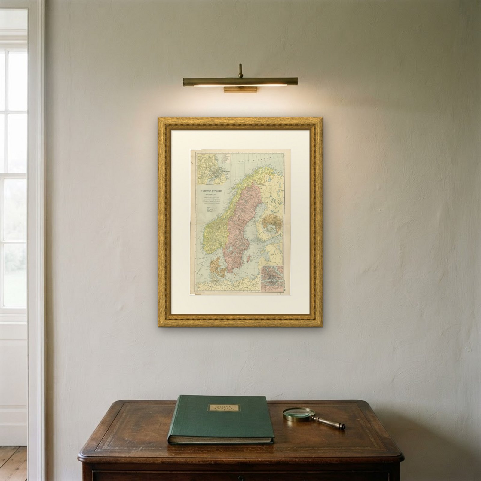
A map like this rewards close looking, so hang it where people pass near it: a hall, a landing, a study or a meeting room. The printed color is soft and the lettering fine, and it sits comfortably beside both antique and modern furniture. This is an original antique map, not a modern reproduction. This item is sold unframed.