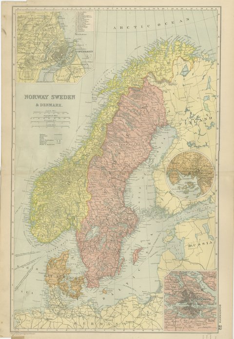
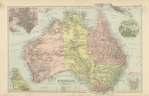
 The sheet, as you receive it
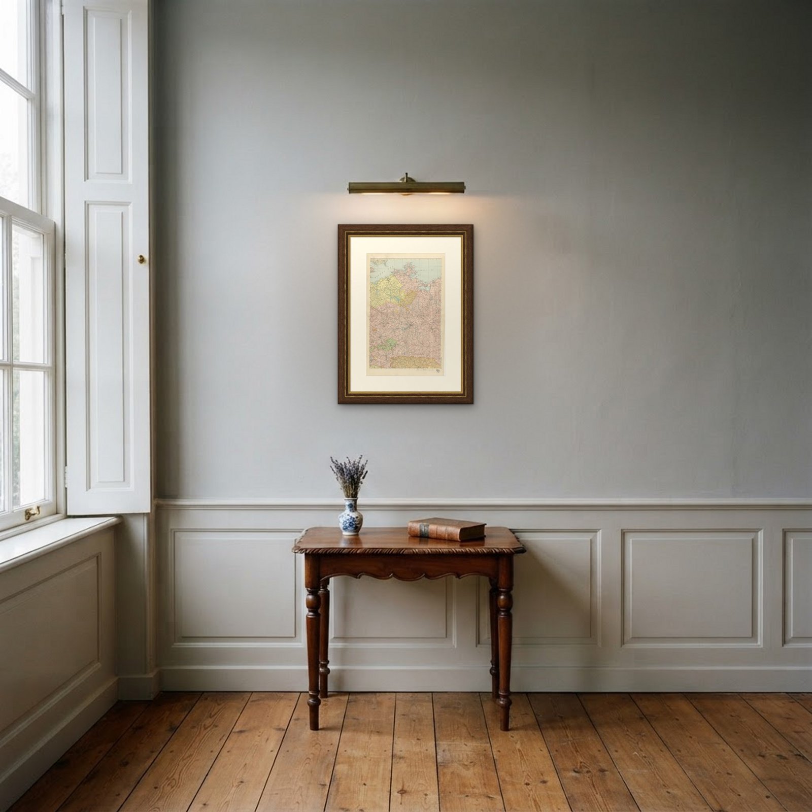 In the room
Interior designers: BarTrade members buy at their trade price. How it works
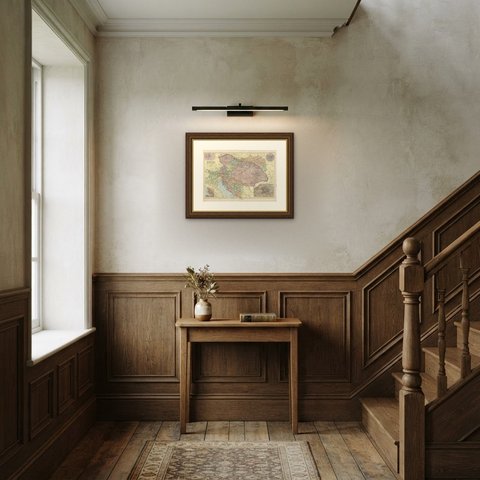
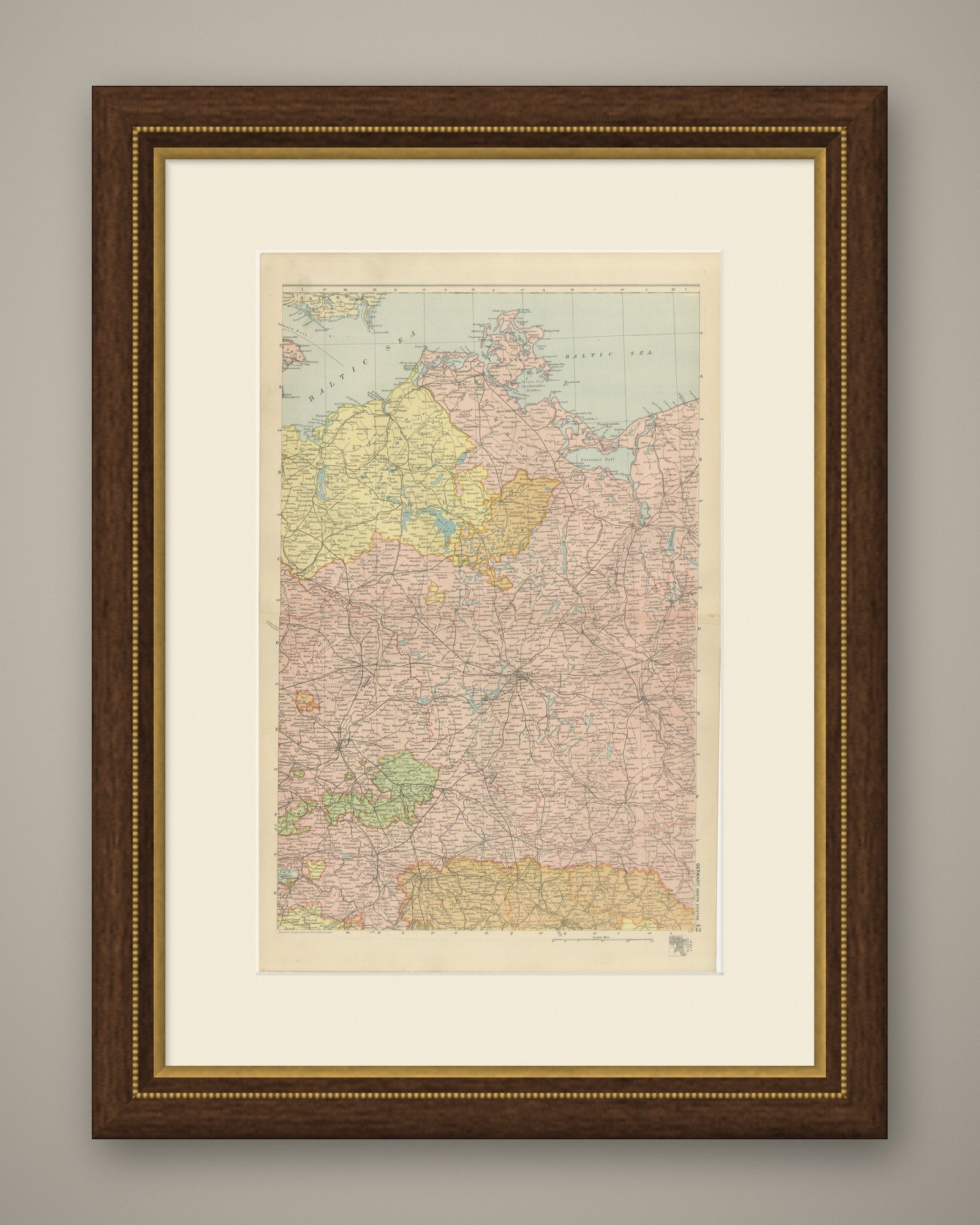
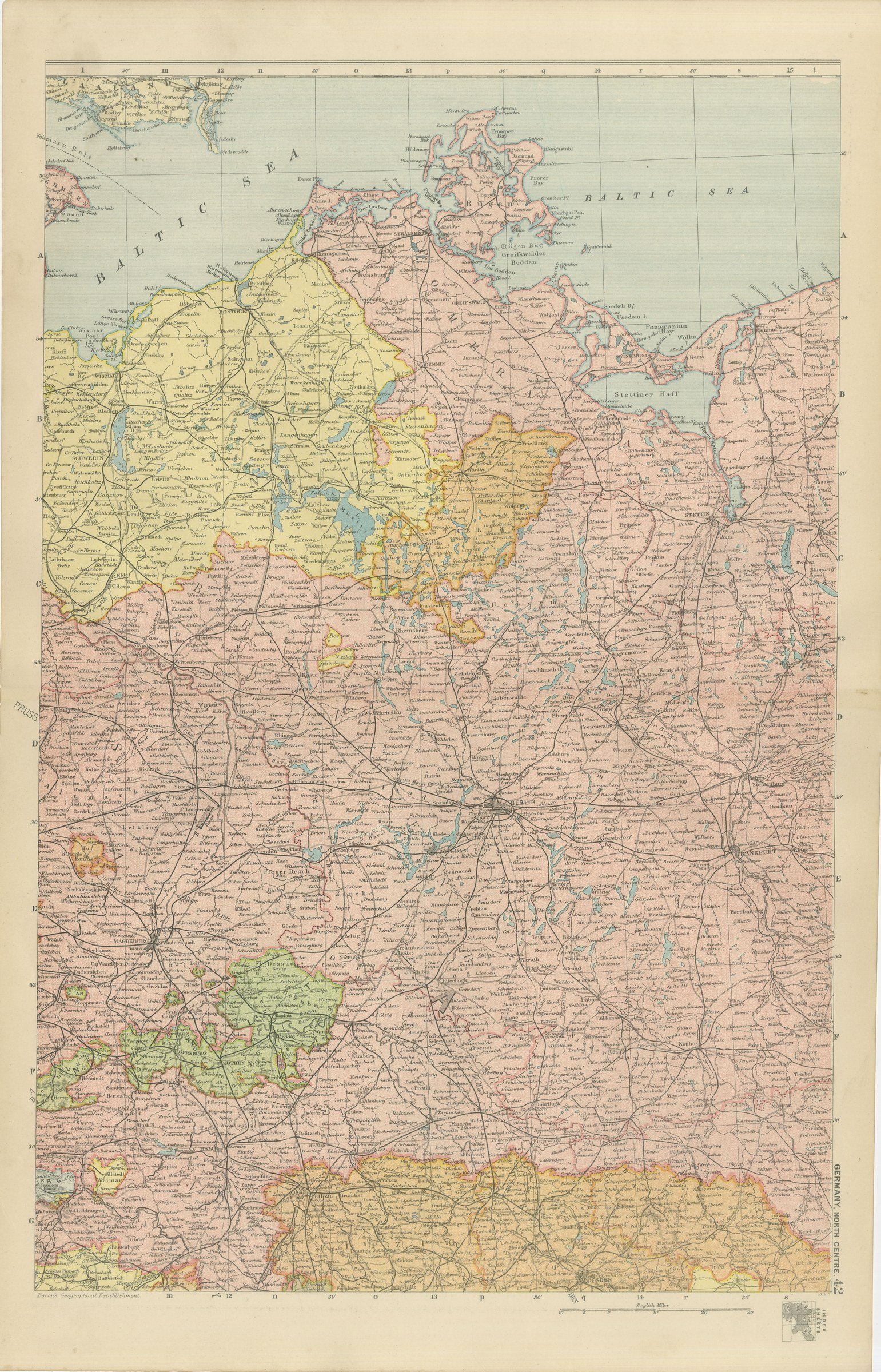
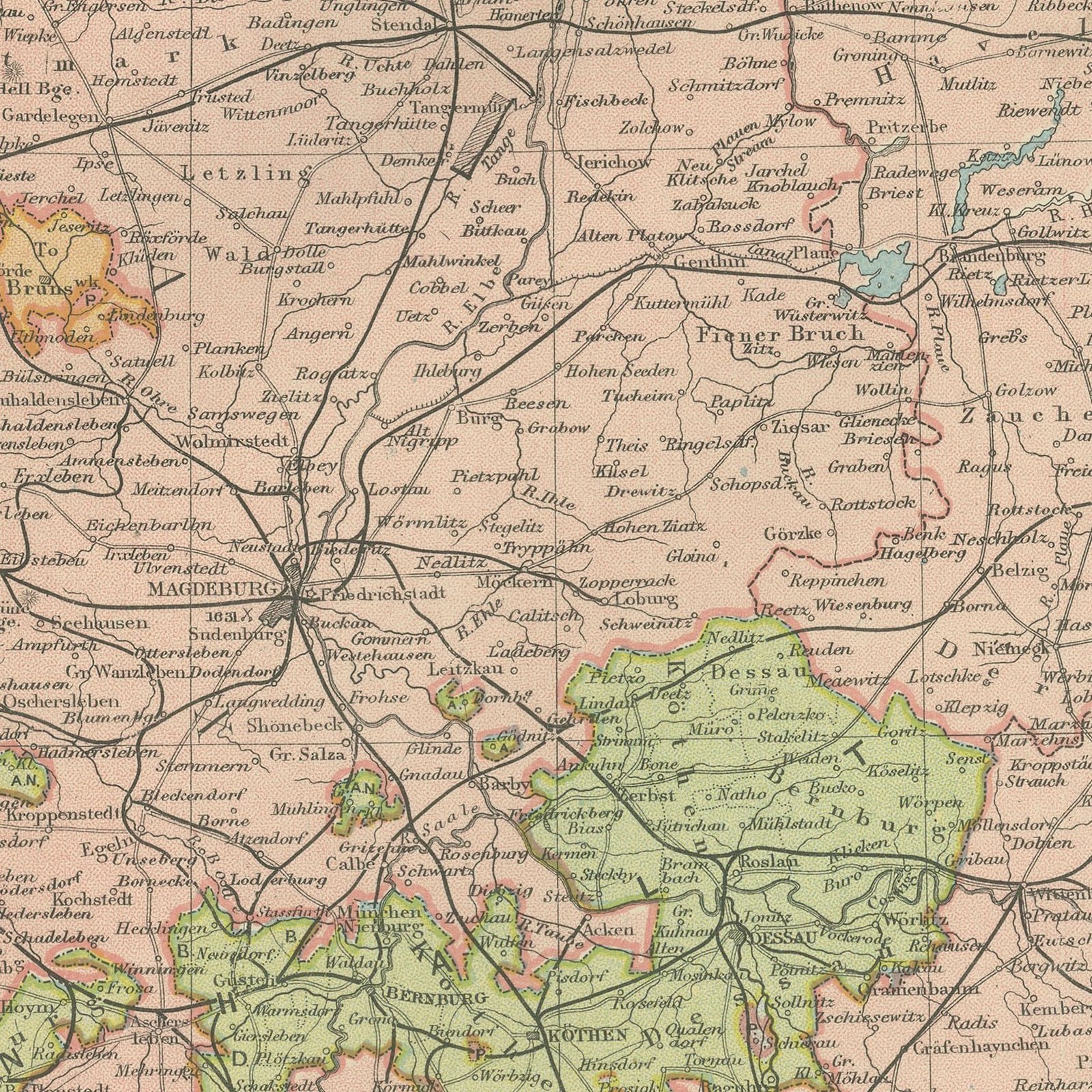
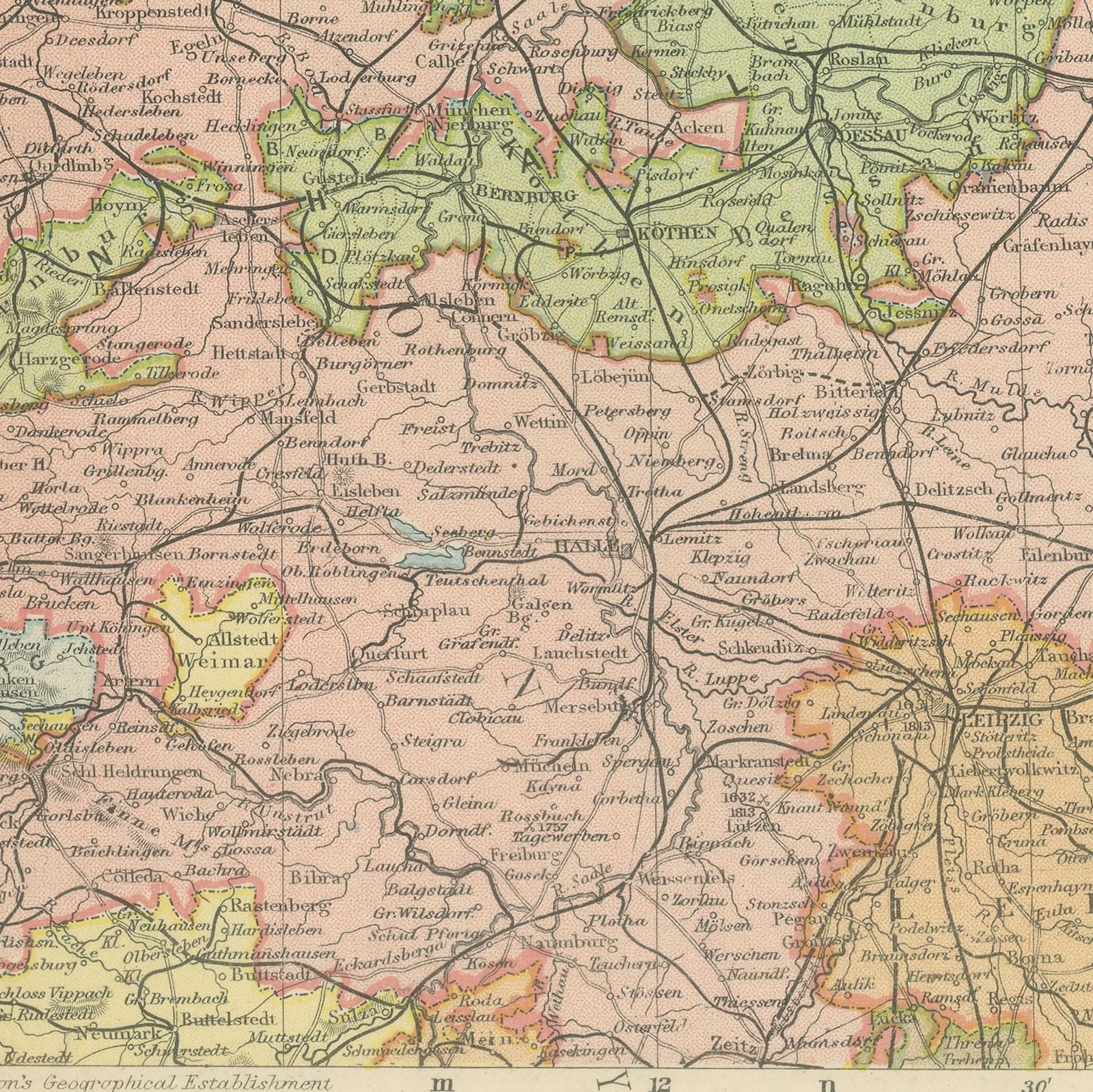
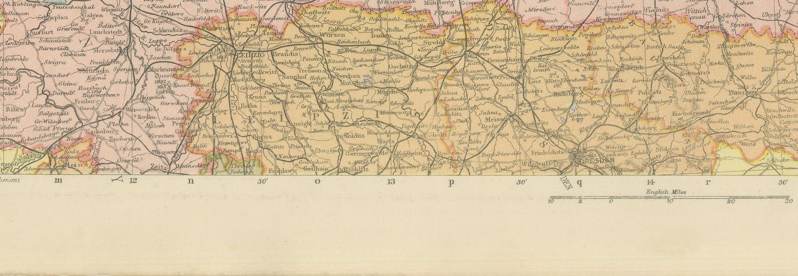
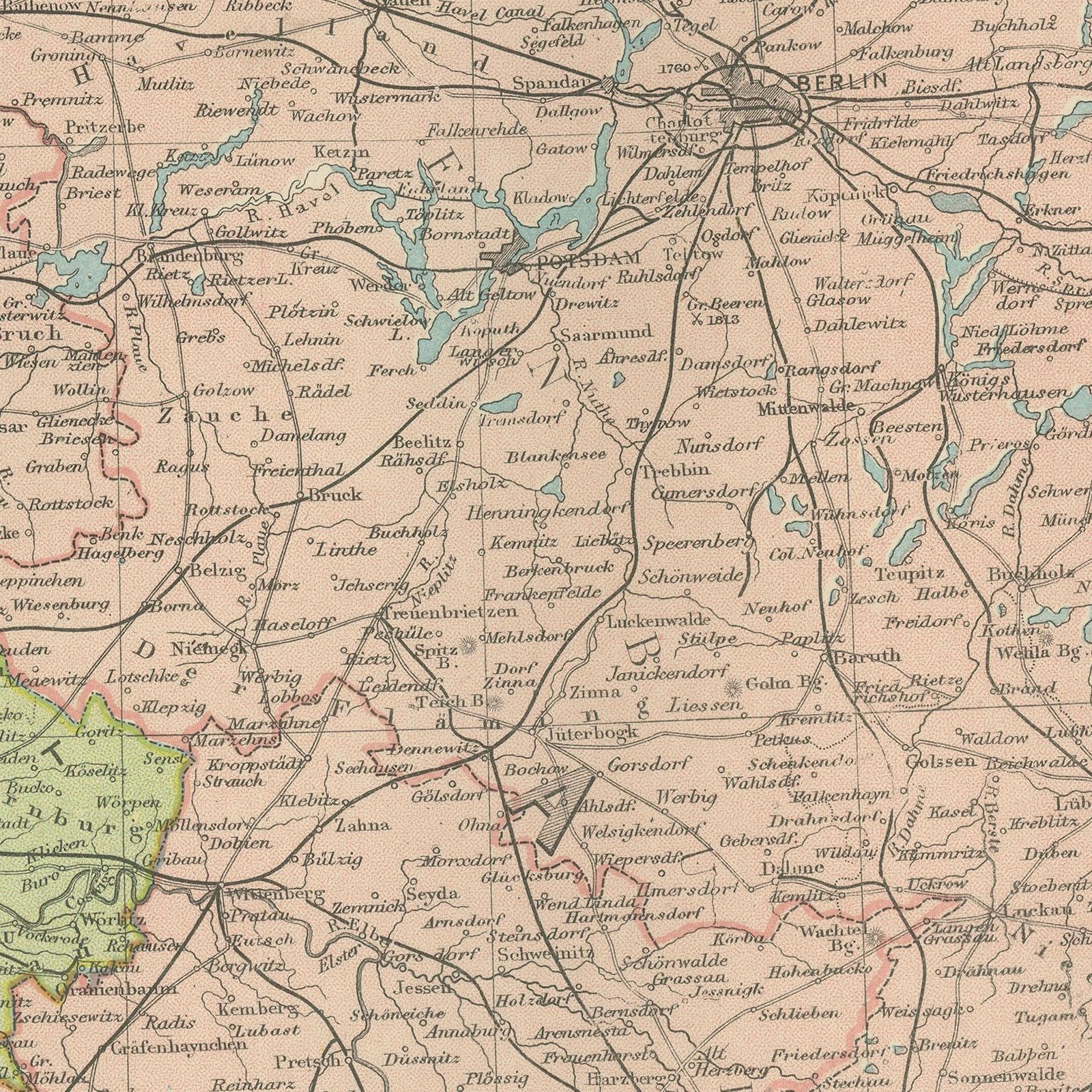
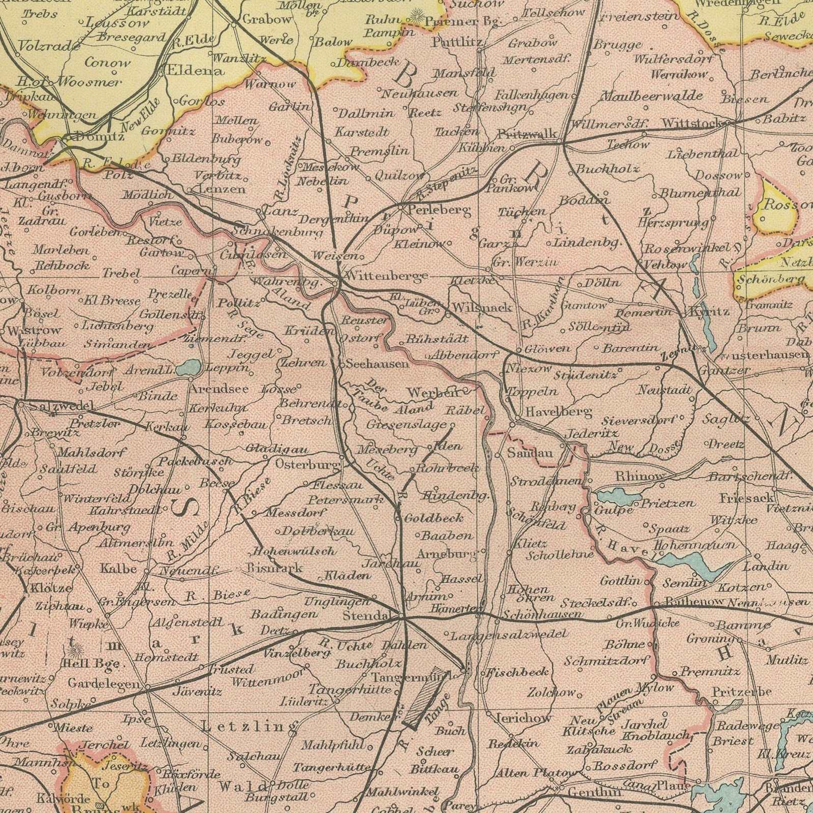
Original antique map of north central Germany, color printed in 1898 for Bacon's Commercial and Library Atlas of the World. The upright double page covers Berlin and Brandenburg, Mecklenburg, Pomerania and the Baltic coast, with Saxony and Anhalt to the south, every state and Prussian province in its own color. The railway lines radiating from Berlin are drawn in full, and the Baltic ports are named along the coast.
The sheet comes from the Commercial and Library Atlas of the World with Index-Gazetteer, edited by George Washington Bacon, Fellow of the Royal Geographical Society, and published in London by G. W. Bacon and Company, Limited, of 127 Strand, in 1898. The atlas gathered one hundred double page maps and one hundred inset maps with an alphabetical index of fifty thousand places and a gazetteer of two thousand towns, and it was sold to merchants, shipping houses and subscription libraries that needed the world kept current rather than kept beautiful.
Berlin in 1898 was the fastest growing capital in Europe, and the map shows the ring of railways and suburbs that growth produced. Pomerania and the lands east of the Oder are shown as German, which is how they stayed until 1945, so the sheet is often bought by families researching ancestors from places that now carry Polish names. It is a dense, practical map that still reads cleanly at arm's length on a wall.
Moderate overall age toning, with the paper darker along the right edge and light handling wear at the bottom right corner.
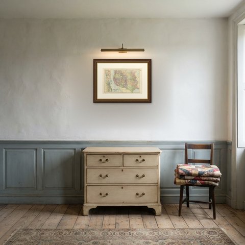
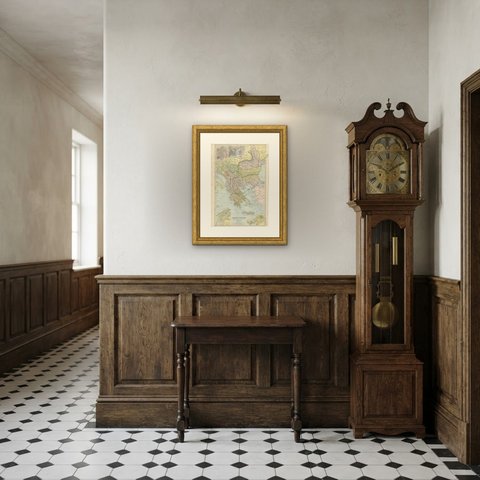
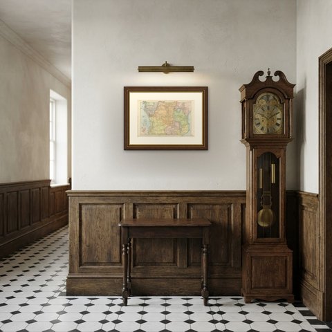
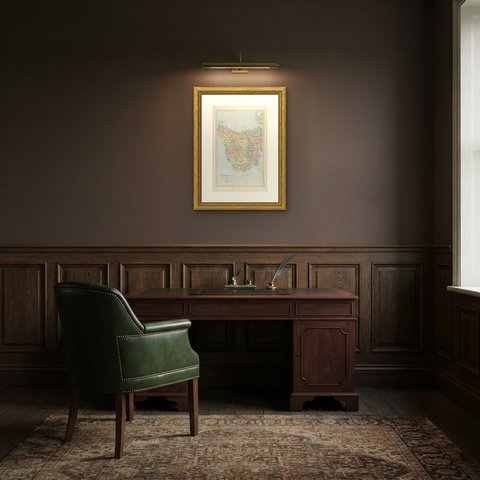
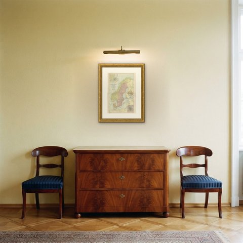
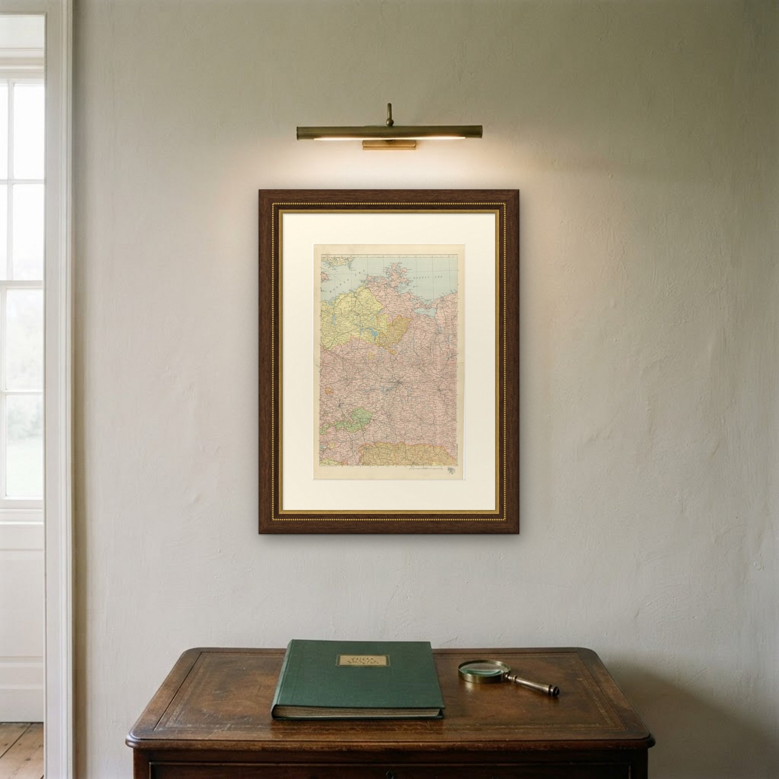
Framed simply, a sheet of this size holds a wall on its own, and the clear color printing reads well across a room. It suits a study, a library, an office or a hallway, and it is an easy gift for anyone with a connection to the place it shows. This is an original antique map, not a modern reproduction. This item is sold unframed.