 The sheet, as you receive it
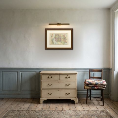
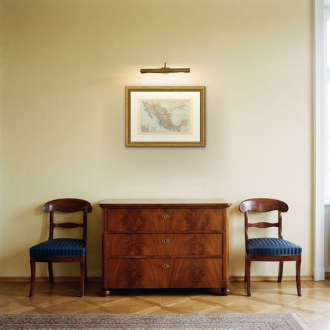
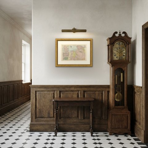
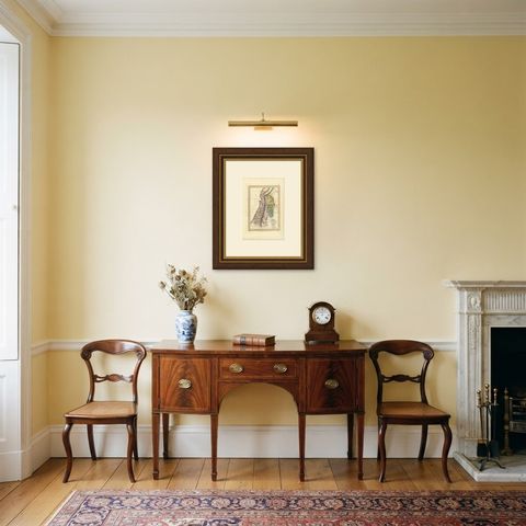
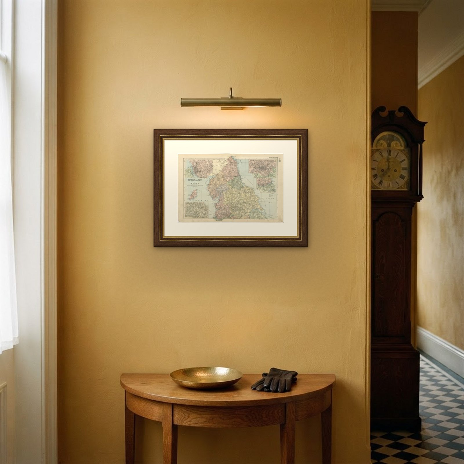
 In the room

Interior designers: BarTrade members buy at their trade price. How it works
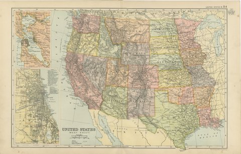
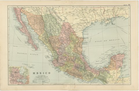
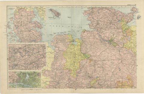
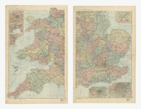
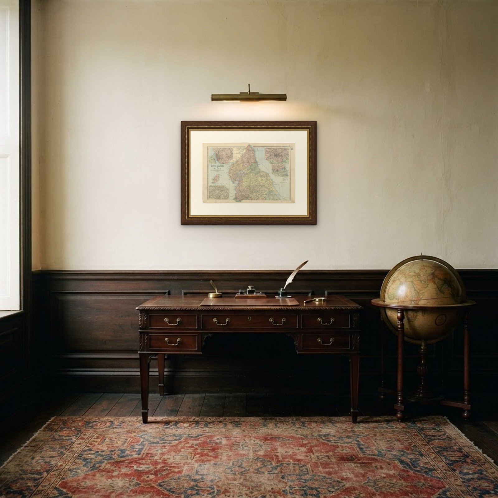
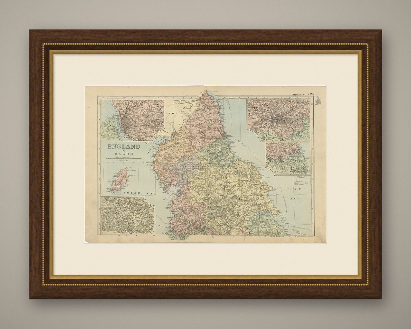
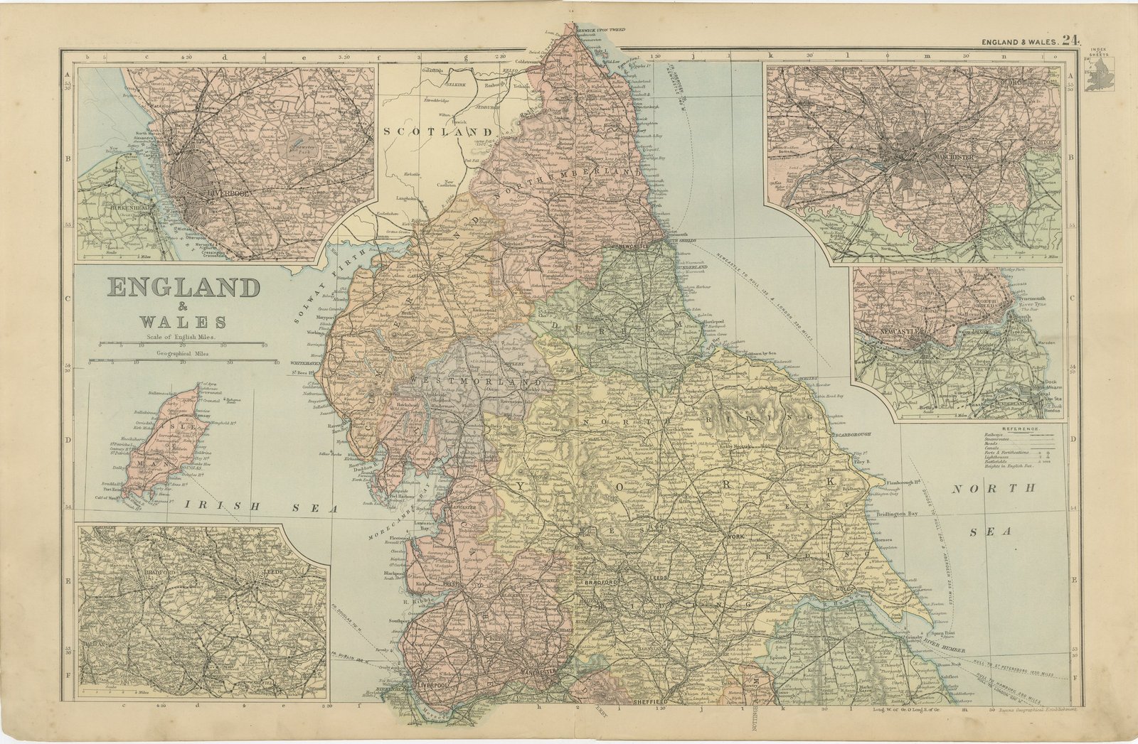
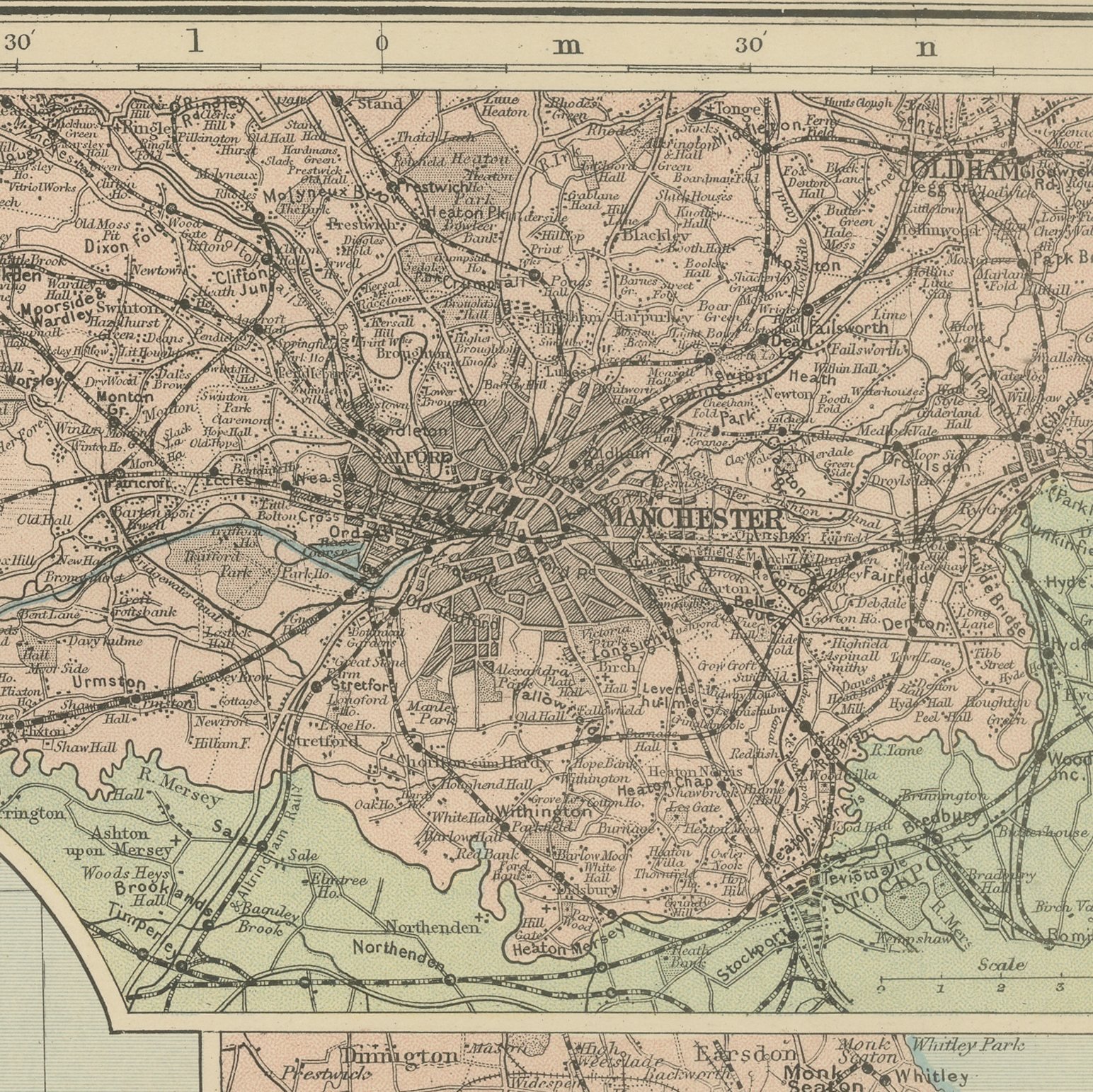
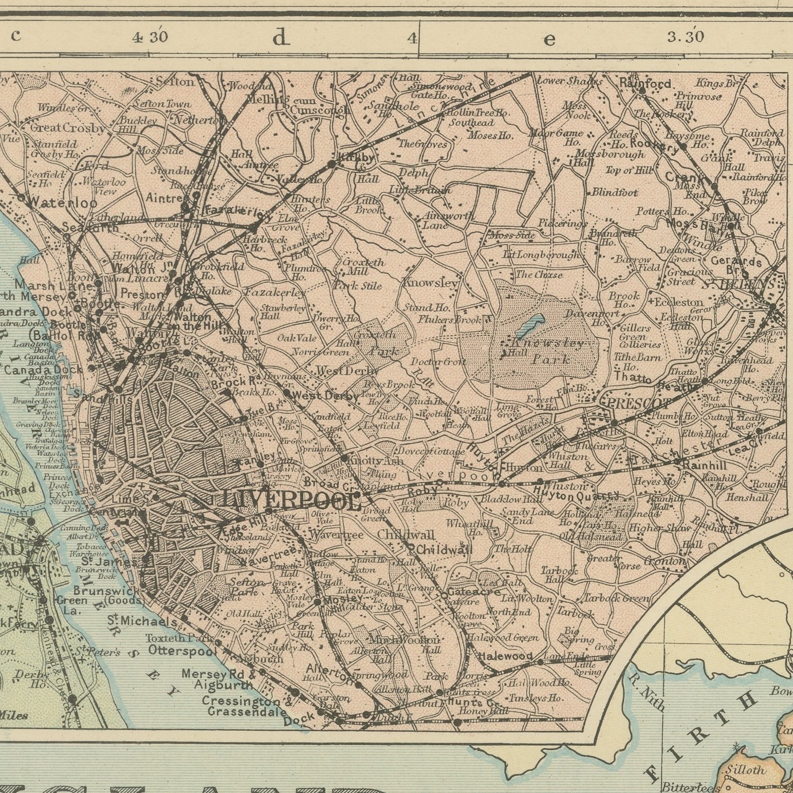
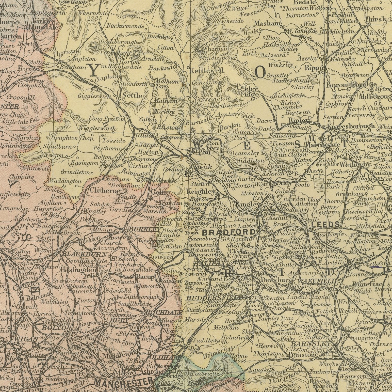
A large color printed antique map of northern England and Wales, published in London by G. W. Bacon in 1898 for his Commercial and Library Atlas of the World. The sheet runs from the Scottish border to the Midlands and across to the Welsh coast, the counties colored separately, with the railway companies' lines drawn in detail through the industrial north. Inset plans give Manchester, Leeds and Newcastle at a larger scale, and the Isle of Man is shown complete in its own panel.
The plate belongs to the 1898 edition of Bacon's Commercial and Library Atlas of the World with Index-Gazetteer, edited by G. W. Bacon of 127 Strand, London. Printed and colored at Bacon's Geographical Establishment, the atlas set out one hundred double page maps and one hundred inset maps, and its purpose was practical: it recorded the political world as the Victorians left it, a year after the Diamond Jubilee and a year before the South African War.
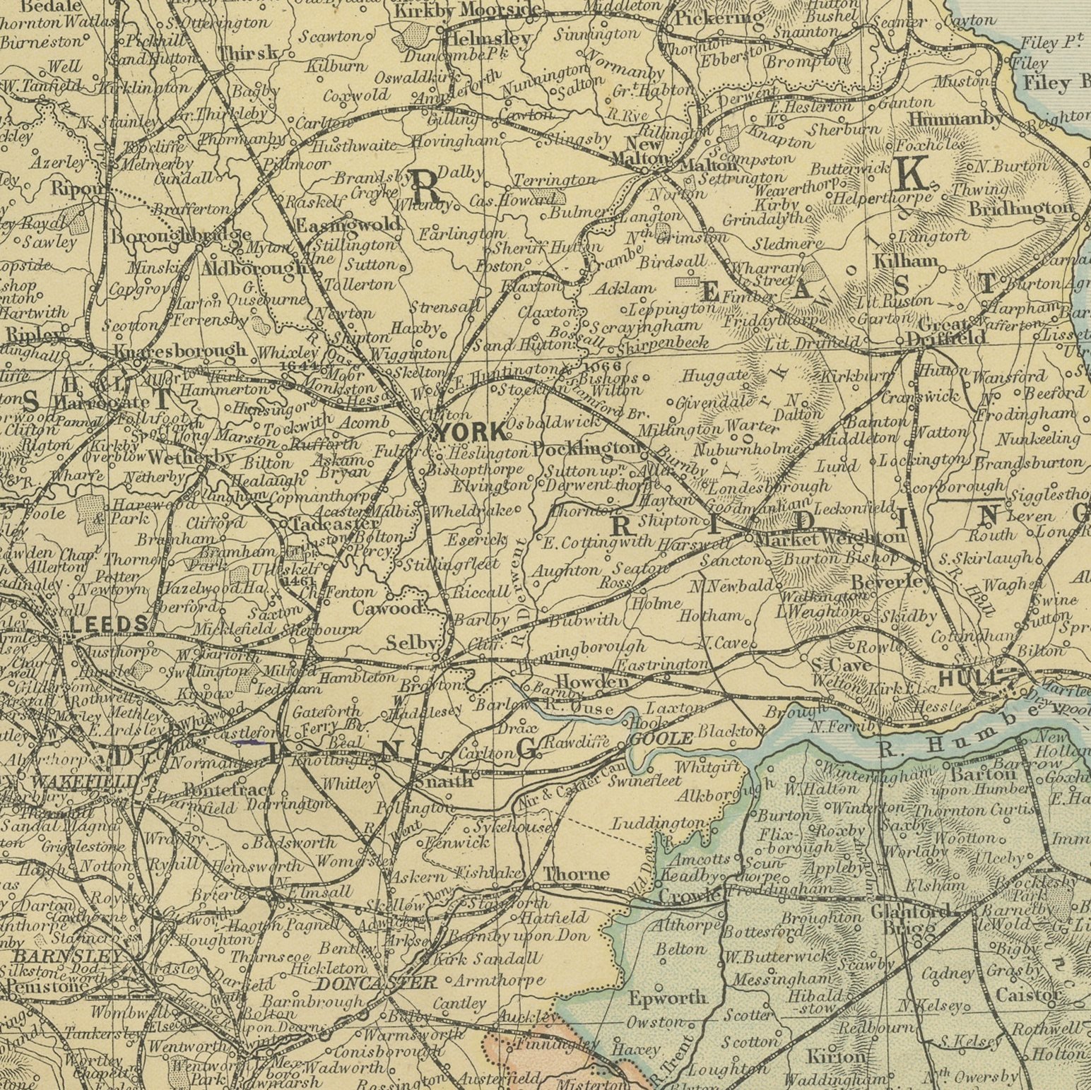
The density of the railway network is the point of a sheet like this. In 1898 the north of England carried more track per square mile than almost anywhere on earth, and Bacon's draughtsmen drew every branch and junction, which makes the map a working document for railway historians as well as a handsome thing on a wall. County boundaries are the Victorian ones, before the changes of 1974, so the map is also useful to anyone tracing families through the old administrative divisions.
Even age toning, the paper a warm cream, with a few handling marks in the margins. The printed image itself is clean.
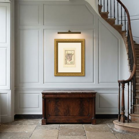
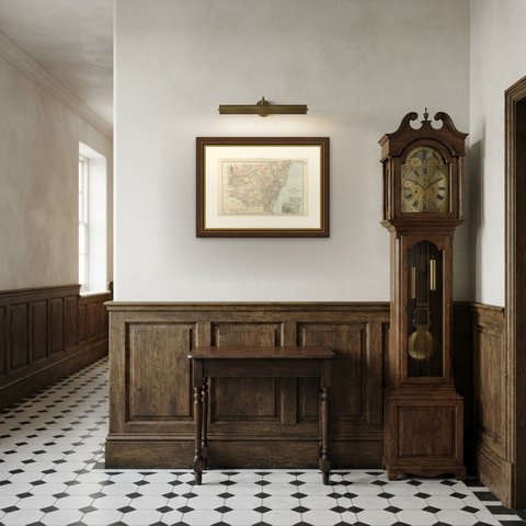
The sheet is large enough to carry a chimney breast or a stairwell and quiet enough in color to sit with books and furniture rather than compete with them. Collectors of Victorian cartography, interior designers and anyone with a tie to the region will find a use for it. This is an original antique map, not a modern reproduction. This item is sold unframed.