 The sheet, as you receive it
 In the room

Interior designers: BarTrade members buy at their trade price. How it works
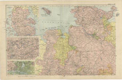
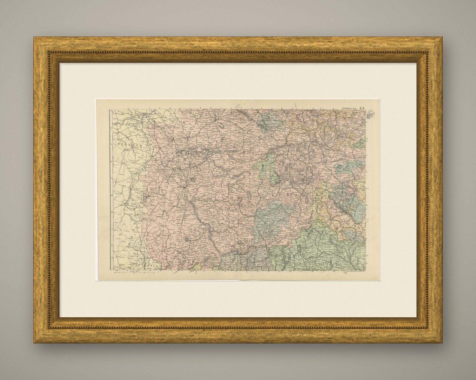
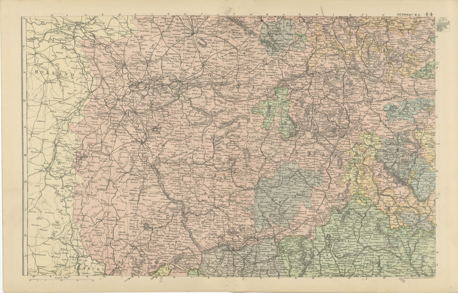
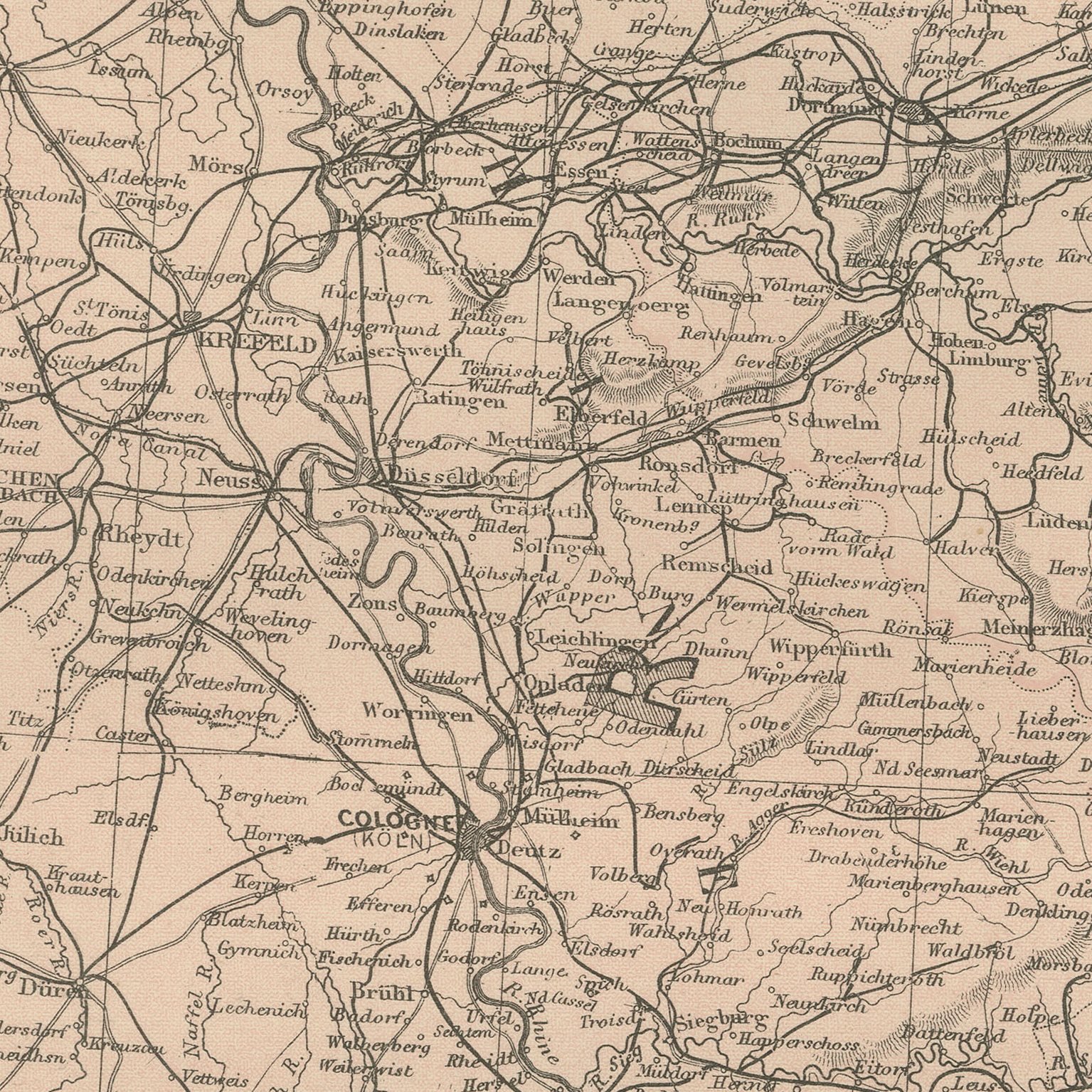
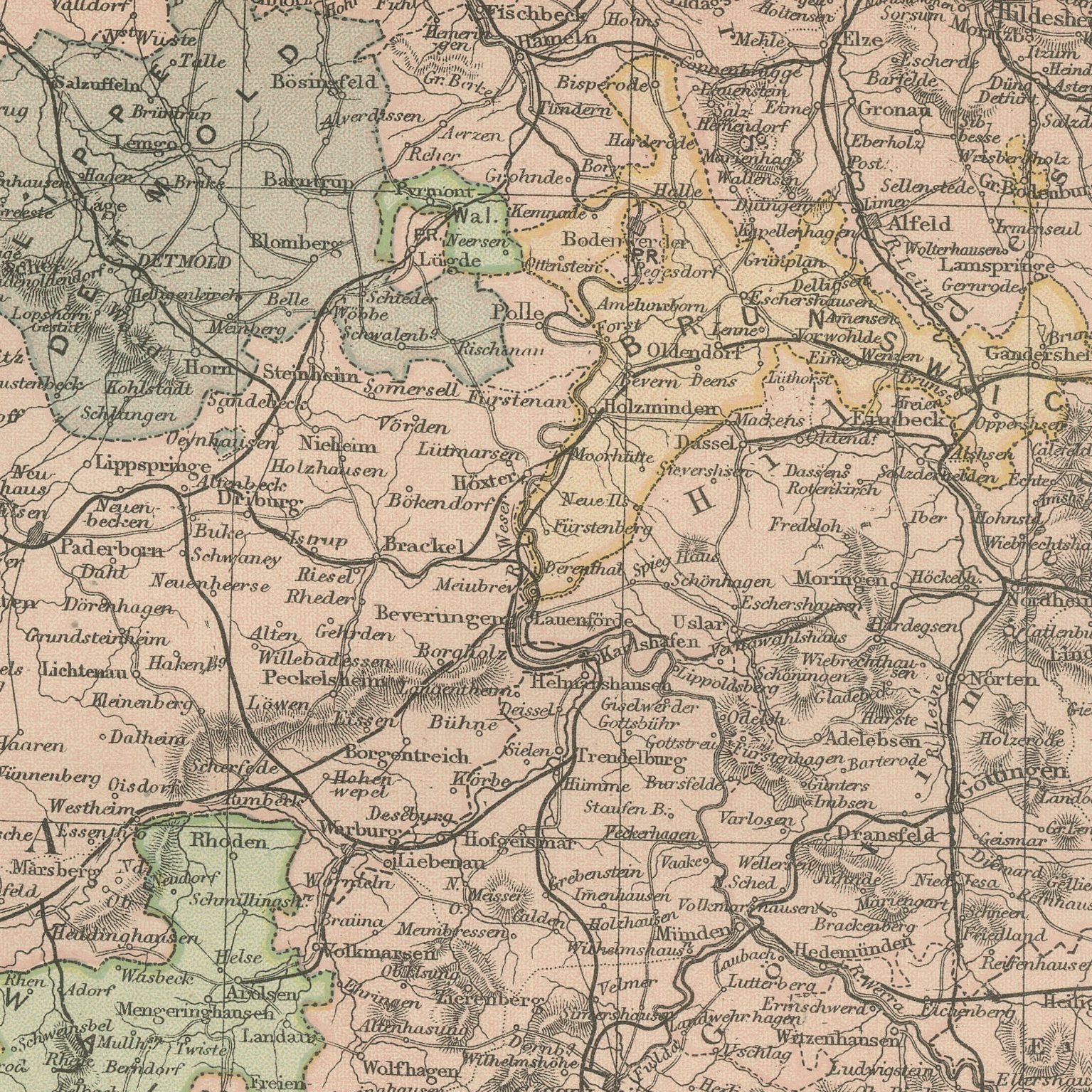
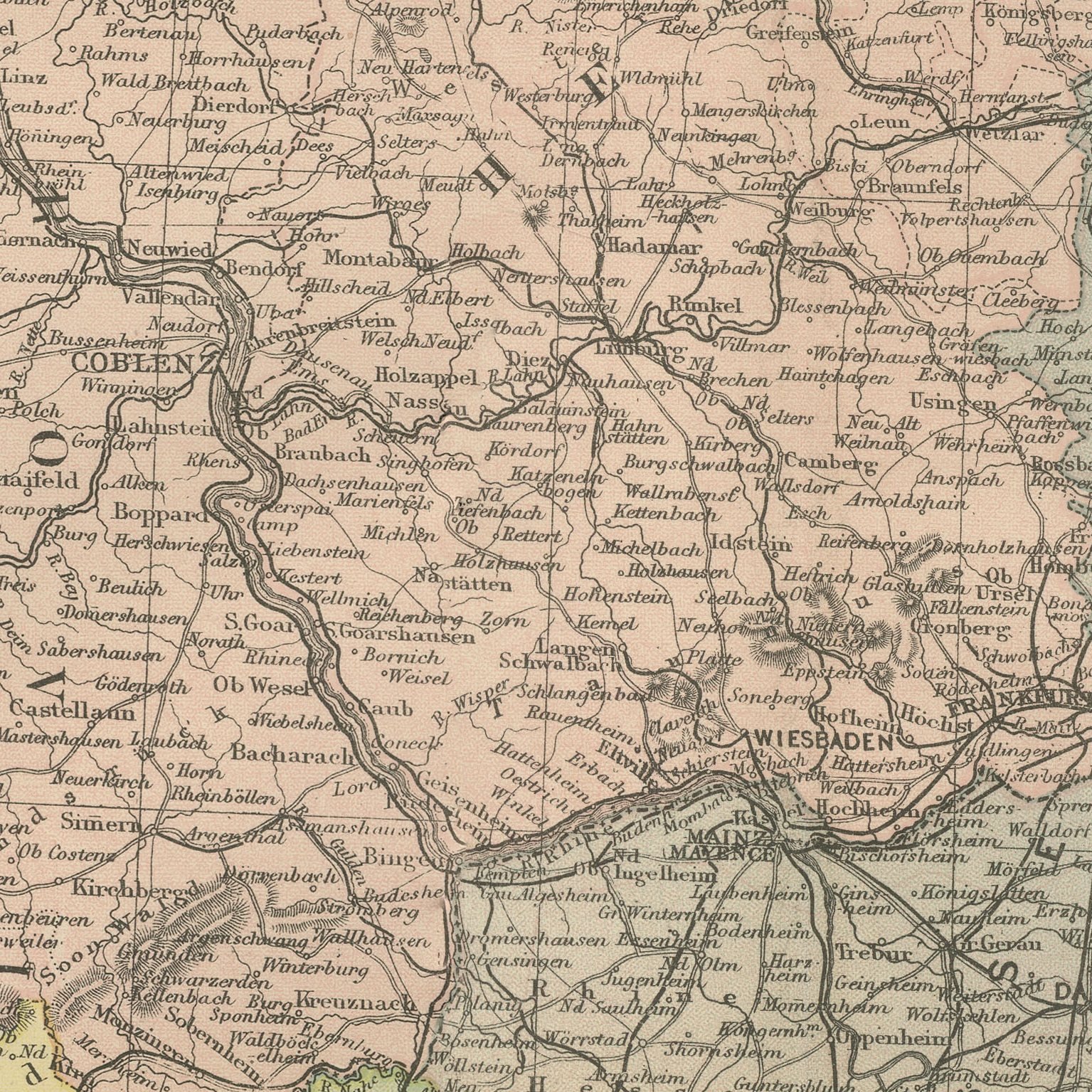
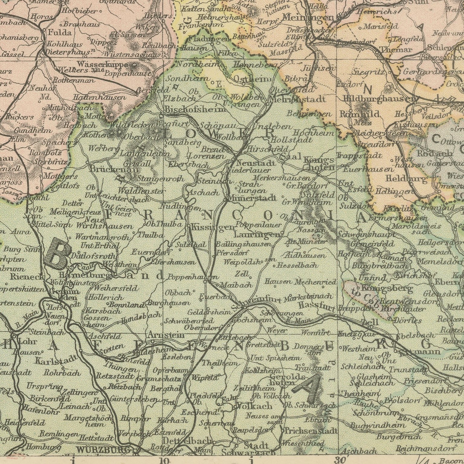
A large color printed antique map of the German Rhineland, published in London by G. W. Bacon in 1898 for his Commercial and Library Atlas of the World. The Rhine runs the length of the sheet from the Dutch border past Cologne and Coblenz to Wiesbaden and Mainz, with the Westerwald, the Taunus and the Hunsruck shaded on either side, the Prussian Rhine province, Hesse-Nassau and the small Thuringian states colored separately, and the river steamer stations and railways marked along both banks.
This map was issued in the Commercial and Library Atlas of the World, published by G. W. Bacon and Company, Limited, London, in 1898. Bacon's house built its reputation on large, densely lettered commercial maps rather than on decorative cartography, and this atlas was its reference volume: one hundred double page maps and one hundred insets, each carrying the railways, steamer routes, submarine cables and administrative boundaries that a trading nation wanted at the end of the nineteenth century.
The Rhine gorge between Coblenz and Bingen is the stretch of river the nineteenth century made famous, and a map that shows it with every castle town named is a natural gift for anyone who has traveled it. The sheet also catches the Rhineland as an industrial region, with the ironworks of the Sieg and the Lahn marked. Village names are given in full, which makes the map useful for family research as well as for hanging.
Moderate overall age toning, with the paper darker along the top and bottom edges, a few handling marks in the margins and light handling wear at the bottom left corner. The printed image itself is clean.
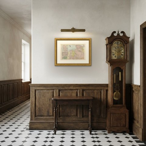
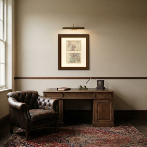
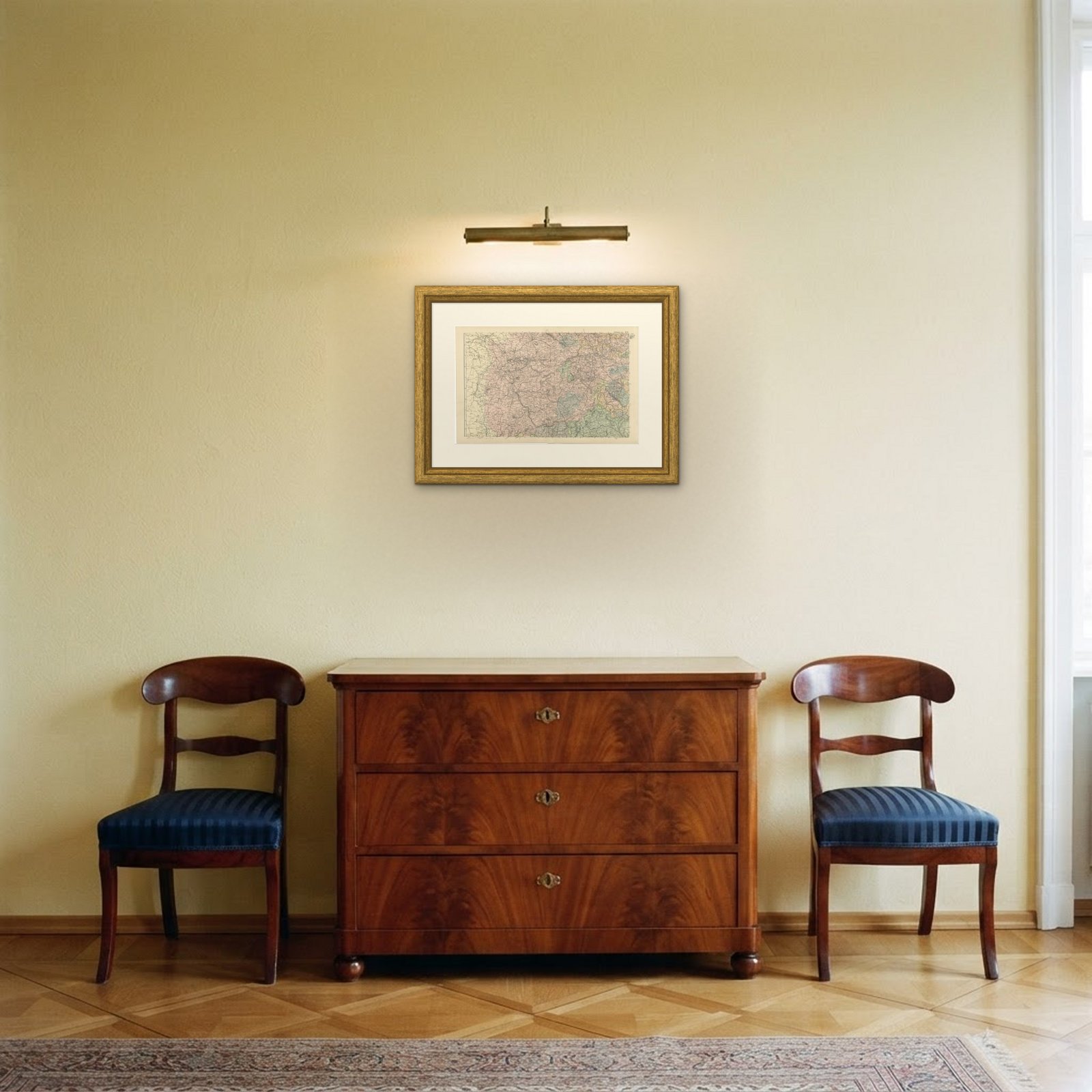
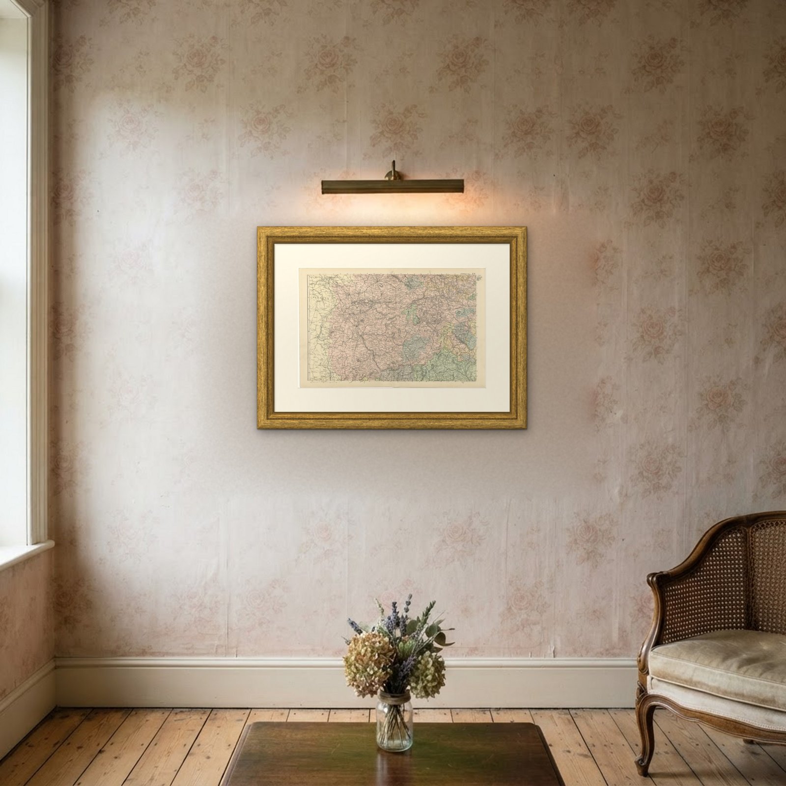
Hung in a plain frame with a generous mount, a map of this scale makes a strong center for a room, and it pairs naturally with other sheets from the same atlas if a wall calls for a group. It is equally at home in a study, a dining room or a set of offices. This is an original antique map, not a modern reproduction. This item is sold unframed.