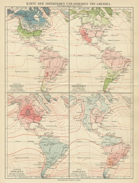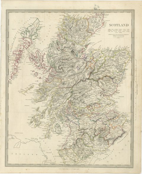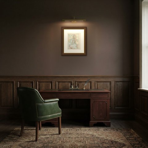
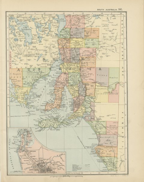
 The sheet, as you receive it
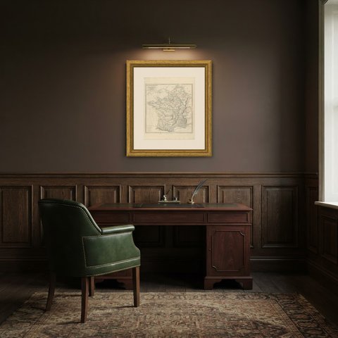
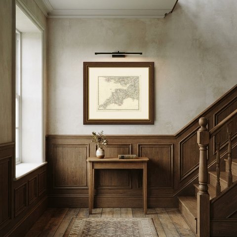
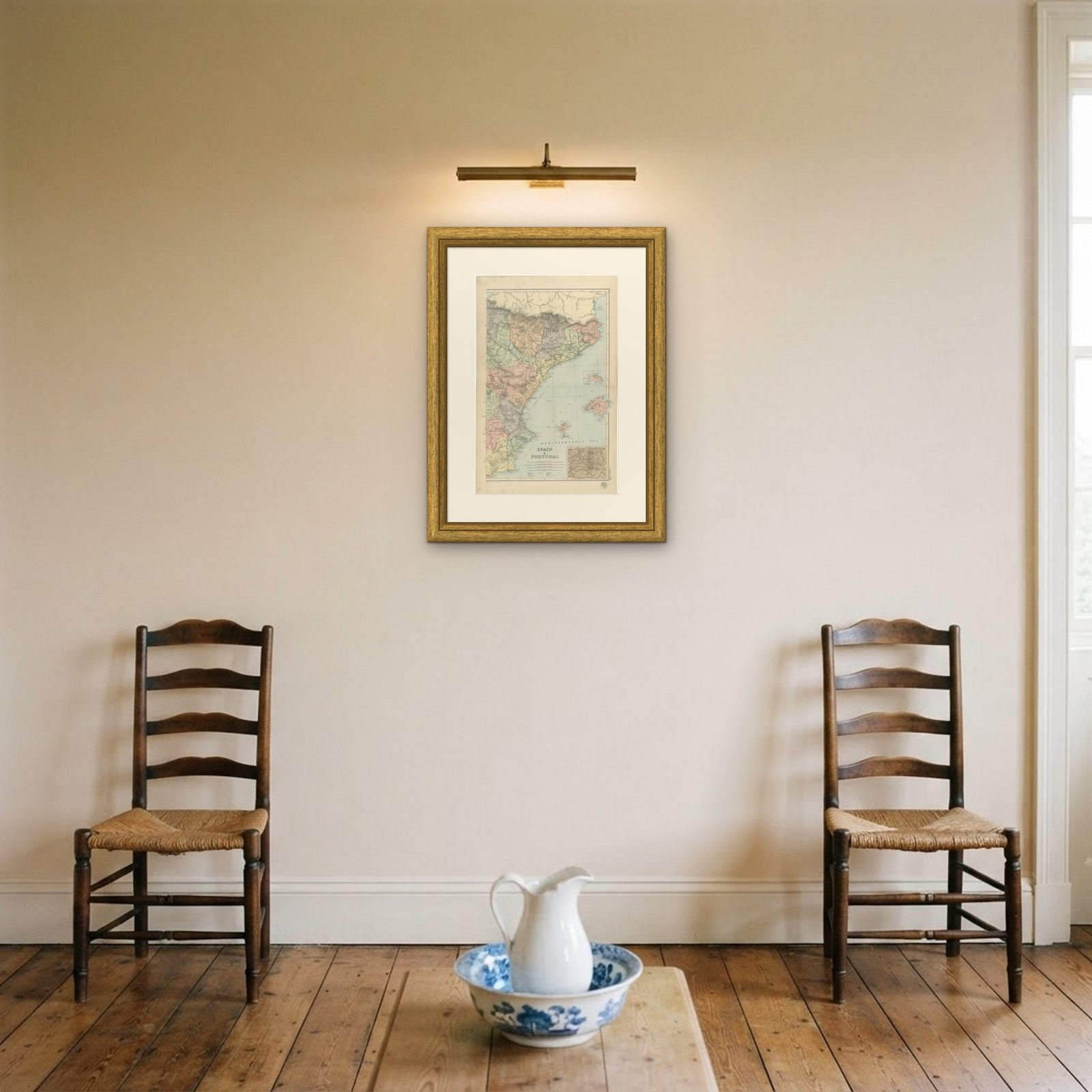
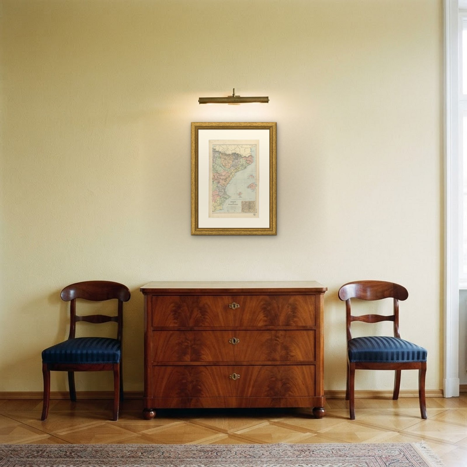 In the room
Interior designers: BarTrade members buy at their trade price. How it works
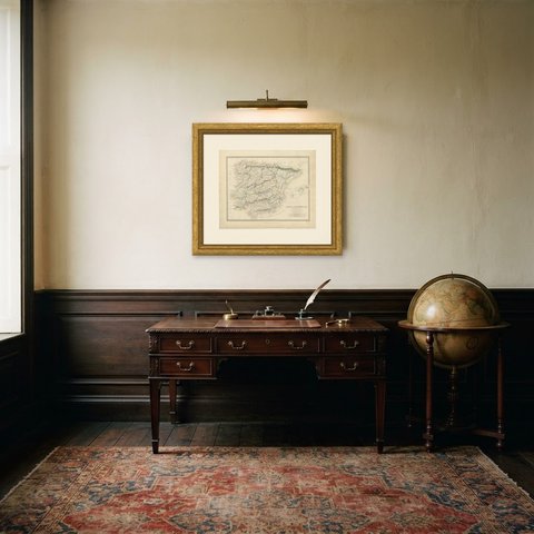
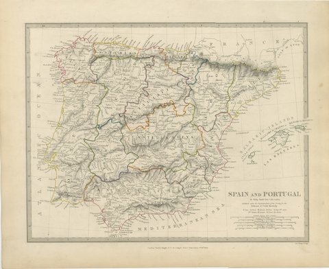
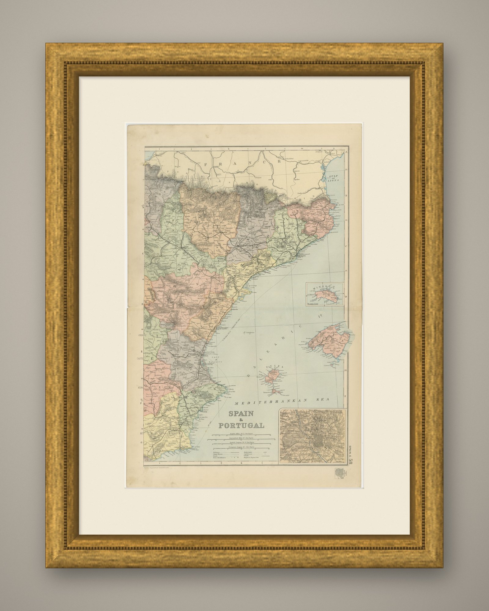
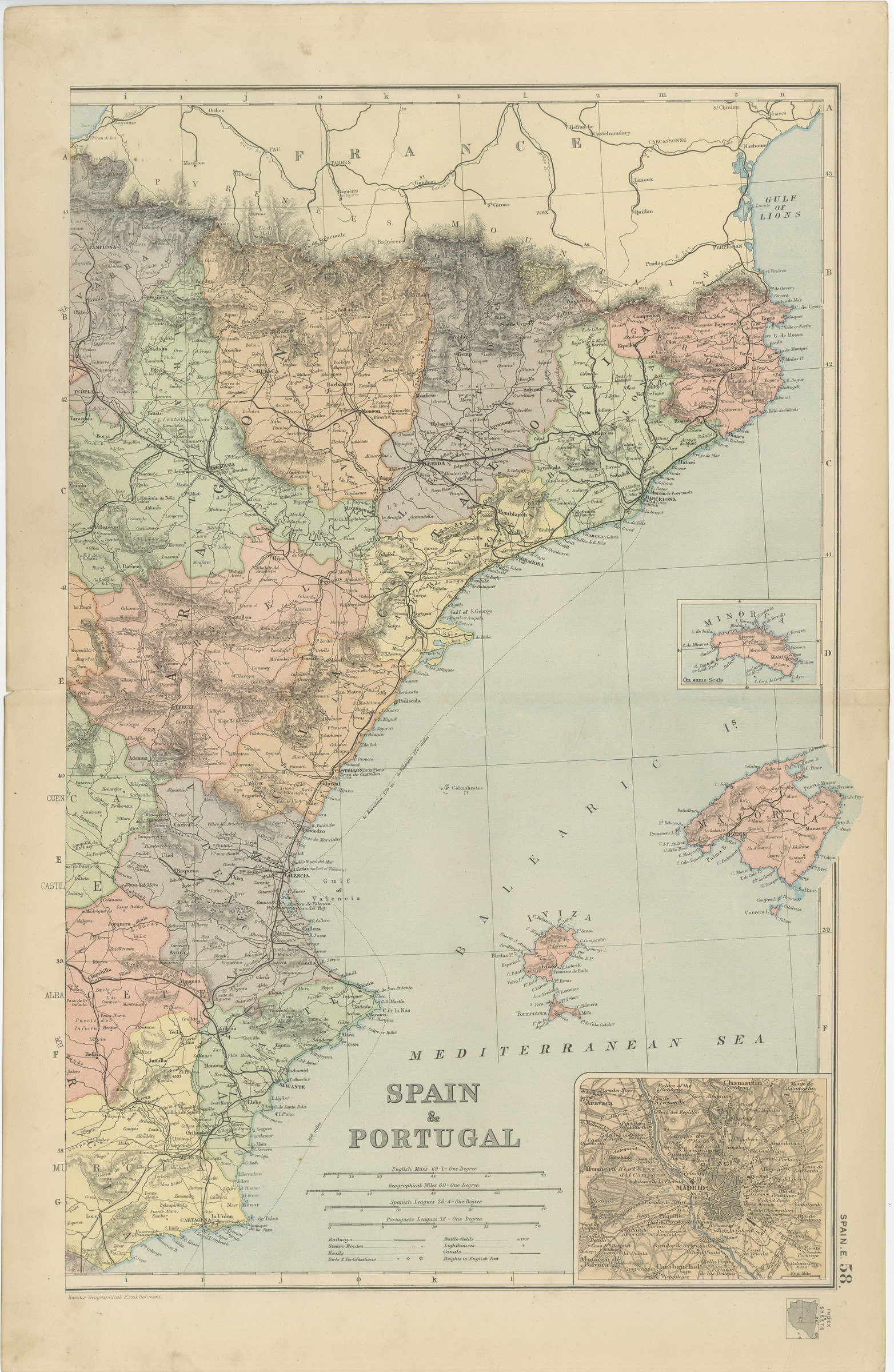
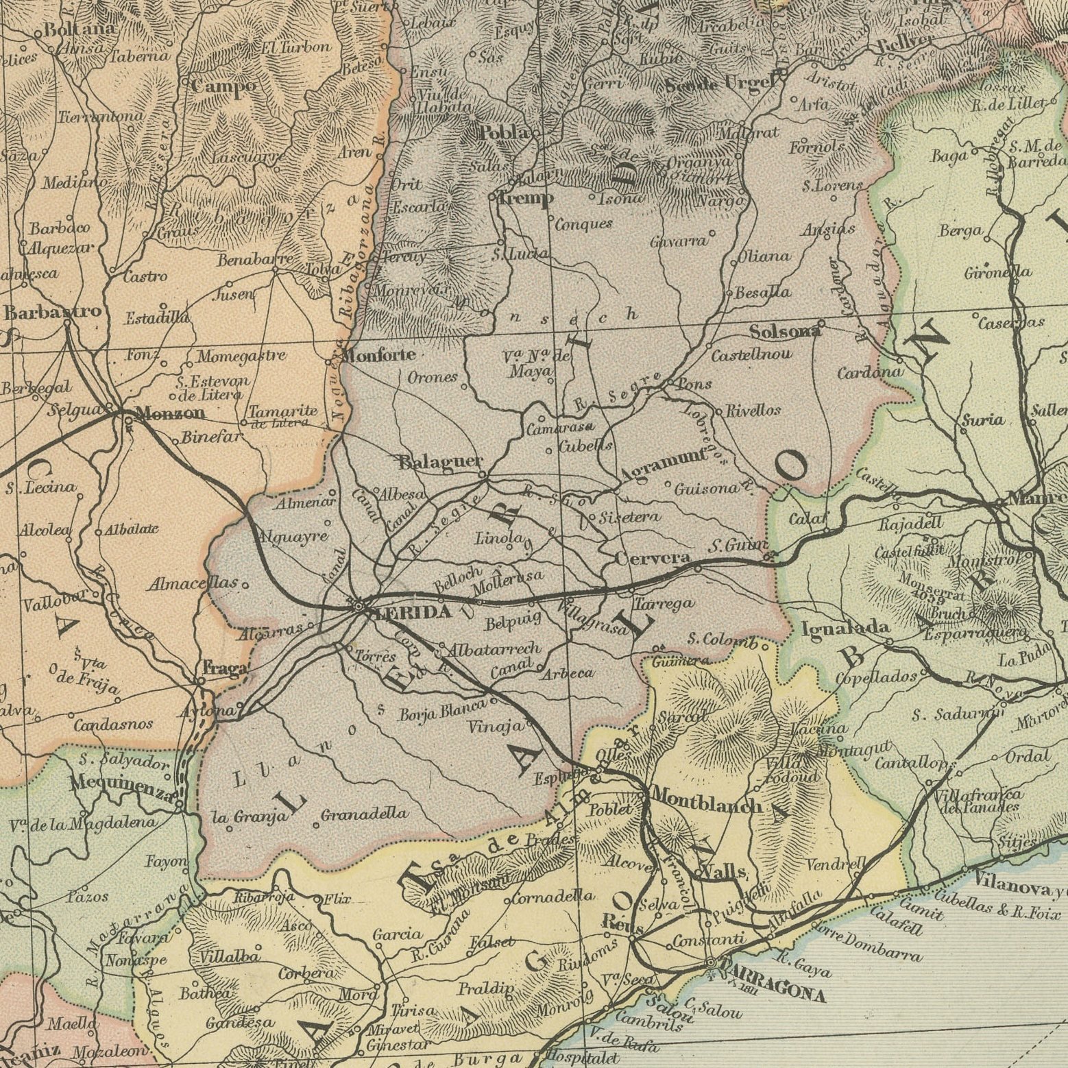
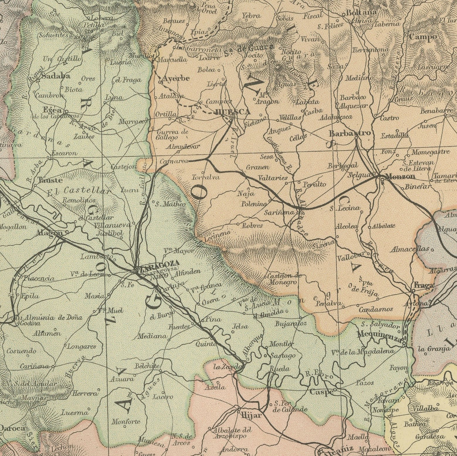
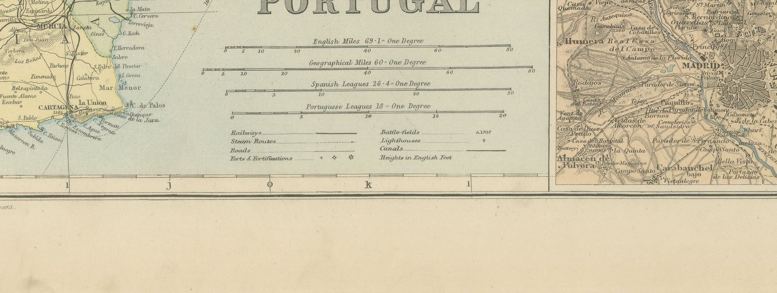
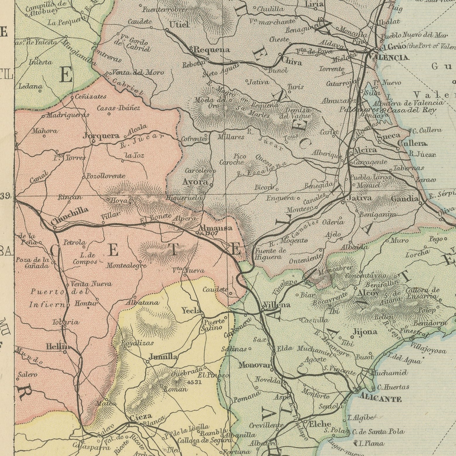
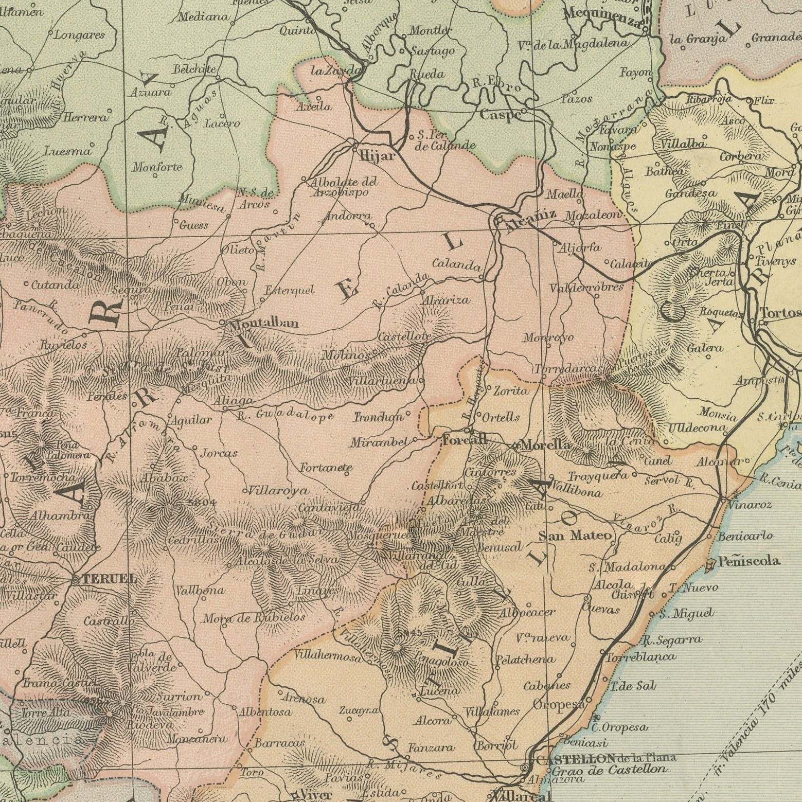
An original antique map of eastern Spain, color printed in London in 1898 for G. W. Bacon's Commercial and Library Atlas of the World. The upright sheet runs down the Mediterranean coast from the French frontier in the Pyrenees through Catalonia, Aragon and Valencia to Murcia and Cartagena, the provinces separately colored and the railways drawn inland to Saragossa and Madrid. Four insets give Minorca, Majorca, Ivica and a plan of Madrid with its environs.
The sheet was printed for the Commercial and Library Atlas of the World, the reference atlas G. W. Bacon and Company, Limited published from the Strand in London in 1898. Bacon edited it himself, and his Geographical Establishment drew, printed and colored every plate. One hundred double page maps and one hundred insets covered the whole of the known world, with the railway and steamship lines that were then remaking it marked throughout.
The Balearic insets are what lift this sheet above the run of Spanish regional maps, because Majorca and Minorca now draw far more visitors than the mainland provinces beside them, and the islands are drawn here before any of that began. Barcelona appears as the industrial capital of Spain in the year of the loss of Cuba and the Philippines, a defeat that pushed Catalan separatism into open politics. The coastal towns of the Costa Brava and the Costa Blanca are named as fishing villages.
Moderate overall age toning, with the paper darker along the right edge, a few handling marks in the margins and light handling wear at the top left and bottom right corners. The printed image itself is clean.
The sheet is large enough to carry a chimney breast or a stairwell and quiet enough in color to sit with books and furniture rather than compete with them. Collectors of Victorian cartography, interior designers and anyone with a tie to the region will find a use for it. This is an original antique map, not a modern reproduction. This item is sold unframed.