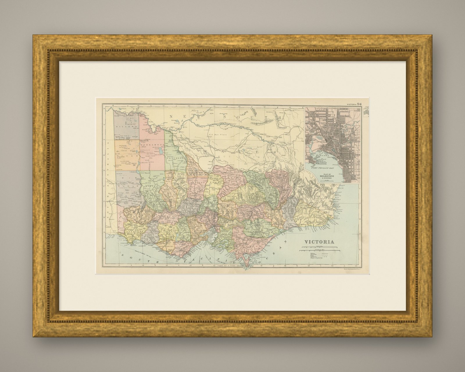
 The sheet, as you receive it
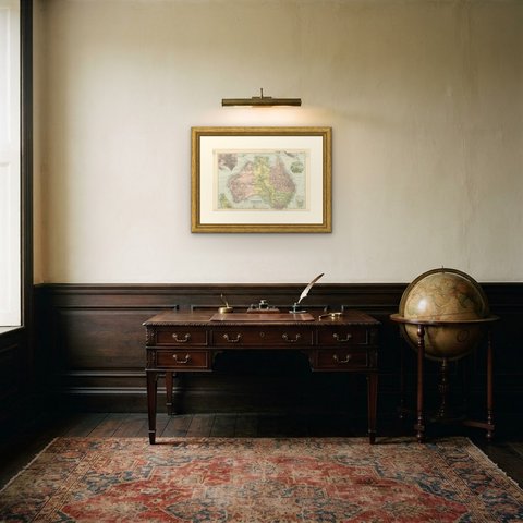
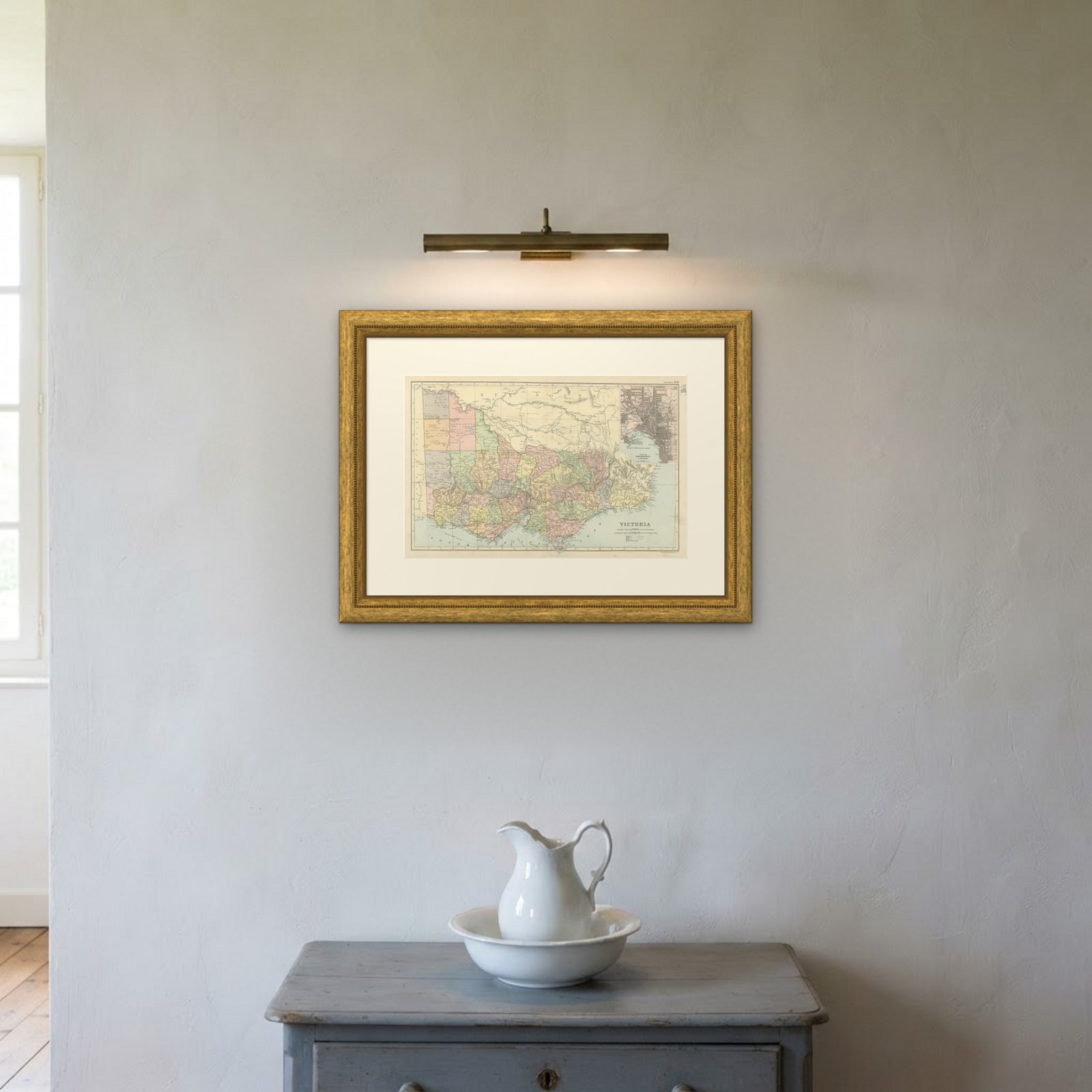
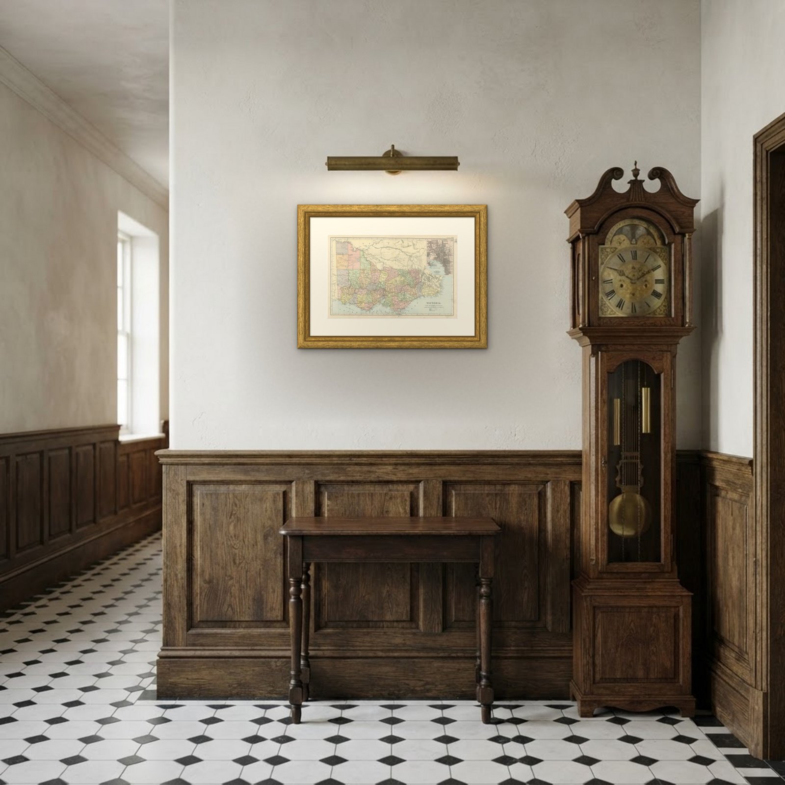 In the room

Interior designers: BarTrade members buy at their trade price. How it works
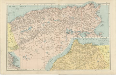
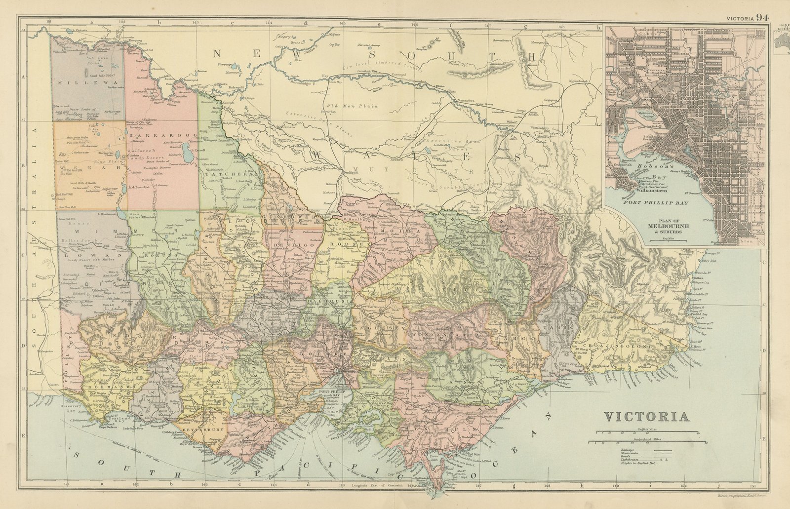
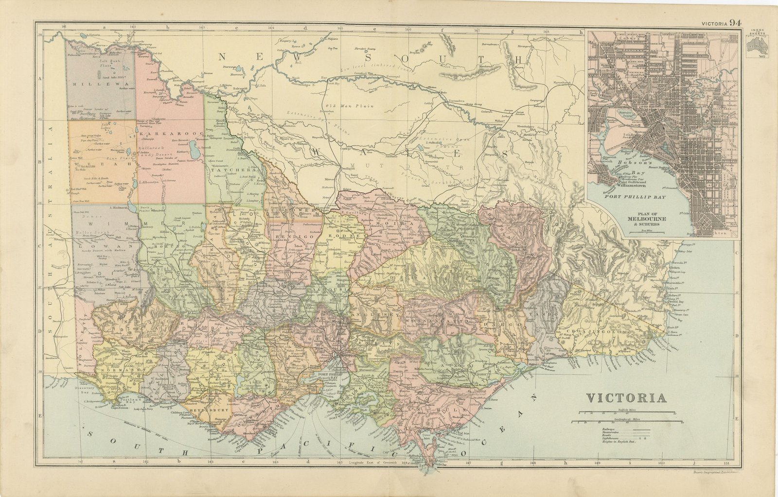
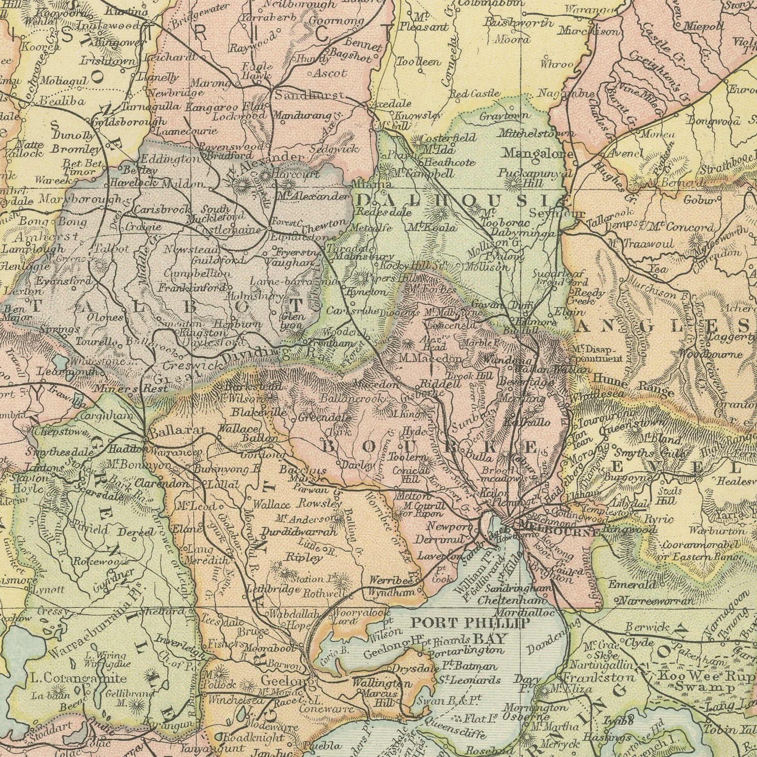
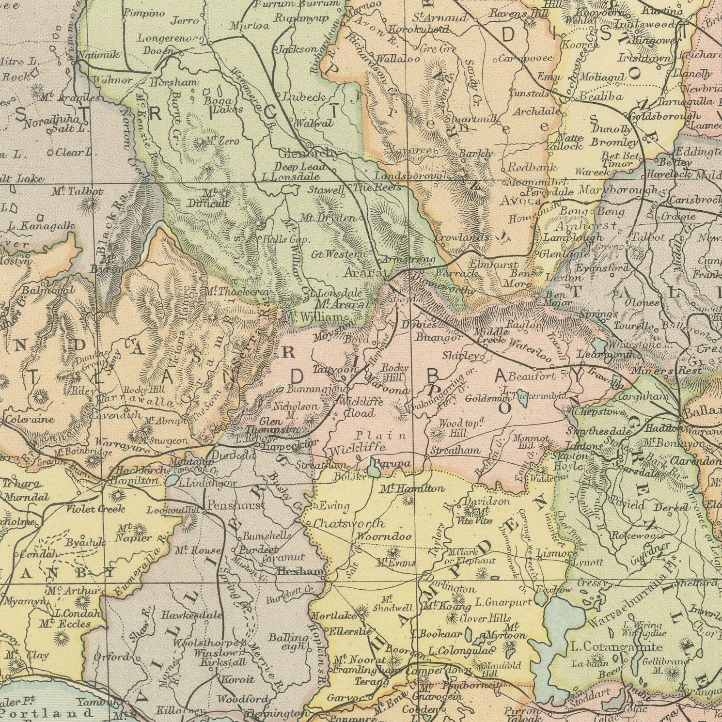
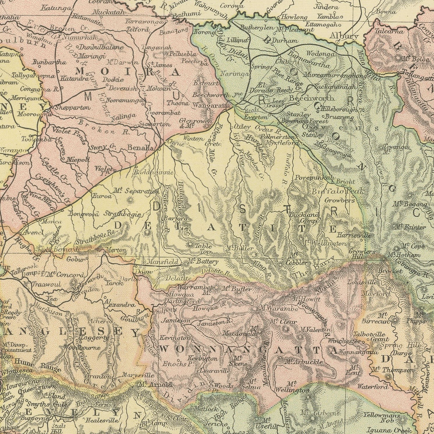
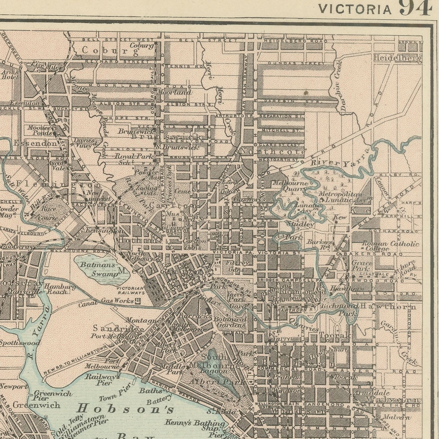
Original antique map of Victoria from the 1898 Commercial and Library Atlas of the World, edited by G. W. Bacon in London and printed in color. The colony runs across the double page from the Murray to Bass Strait, every county separately colored, with the goldfield towns of Ballarat, Bendigo and Castlemaine named, the Mallee and the Wimmera to the north west, Gippsland to the east and the railway network drawn in the close pattern that Victoria had built faster than any other colony. A large inset plans Melbourne and its suburbs.
Bacon's Commercial and Library Atlas of the World appeared from 127 Strand in 1898, edited by George Washington Bacon, an American who settled in London and built one of the busiest map houses in Victorian Britain. The volume ran to one hundred double page maps and one hundred insets, backed by an index of fifty thousand places, and its plates were drawn, printed and colored at Bacon's own Geographical Establishment, whose imprint appears in the lower margin of the sheets.
Melbourne in 1898 was recovering from the land boom crash of 1893, and the inset shows the city at its full Victorian extent, with Williamstown, Hobson's Bay and the suburban railways drawn out across the flat country. The goldfields that paid for all of it are marked on the main map. Victoria is a small colony mapped at a generous scale here, so the sheet names a great many small places that a buyer may be looking for.
Moderate overall age toning, with a few handling marks in the margins and light handling wear at the top right and bottom right corners. The printed image itself is clean.
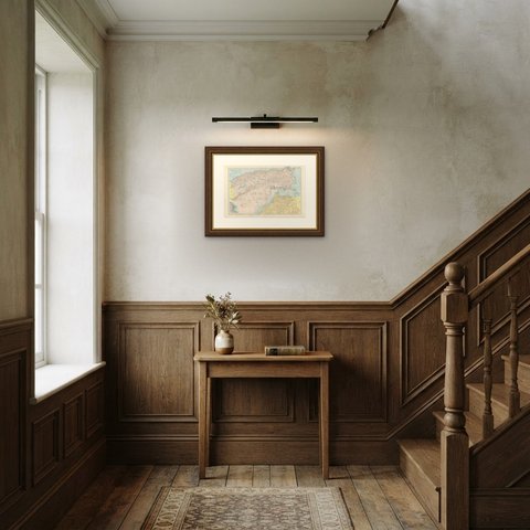
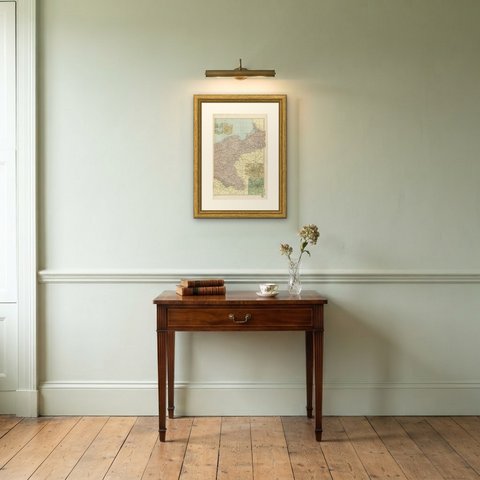
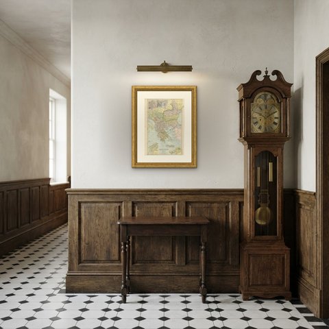
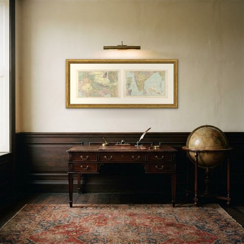
The sheet is large enough to carry a chimney breast or a stairwell and quiet enough in color to sit with books and furniture rather than compete with them. Collectors of Victorian cartography, interior designers and anyone with a tie to the region will find a use for it. This is an original antique map, not a modern reproduction. This item is sold unframed.