 The sheet, as you receive it
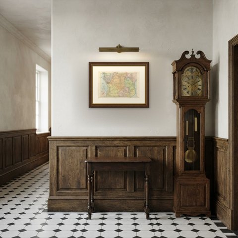
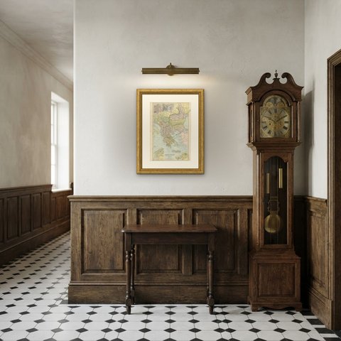
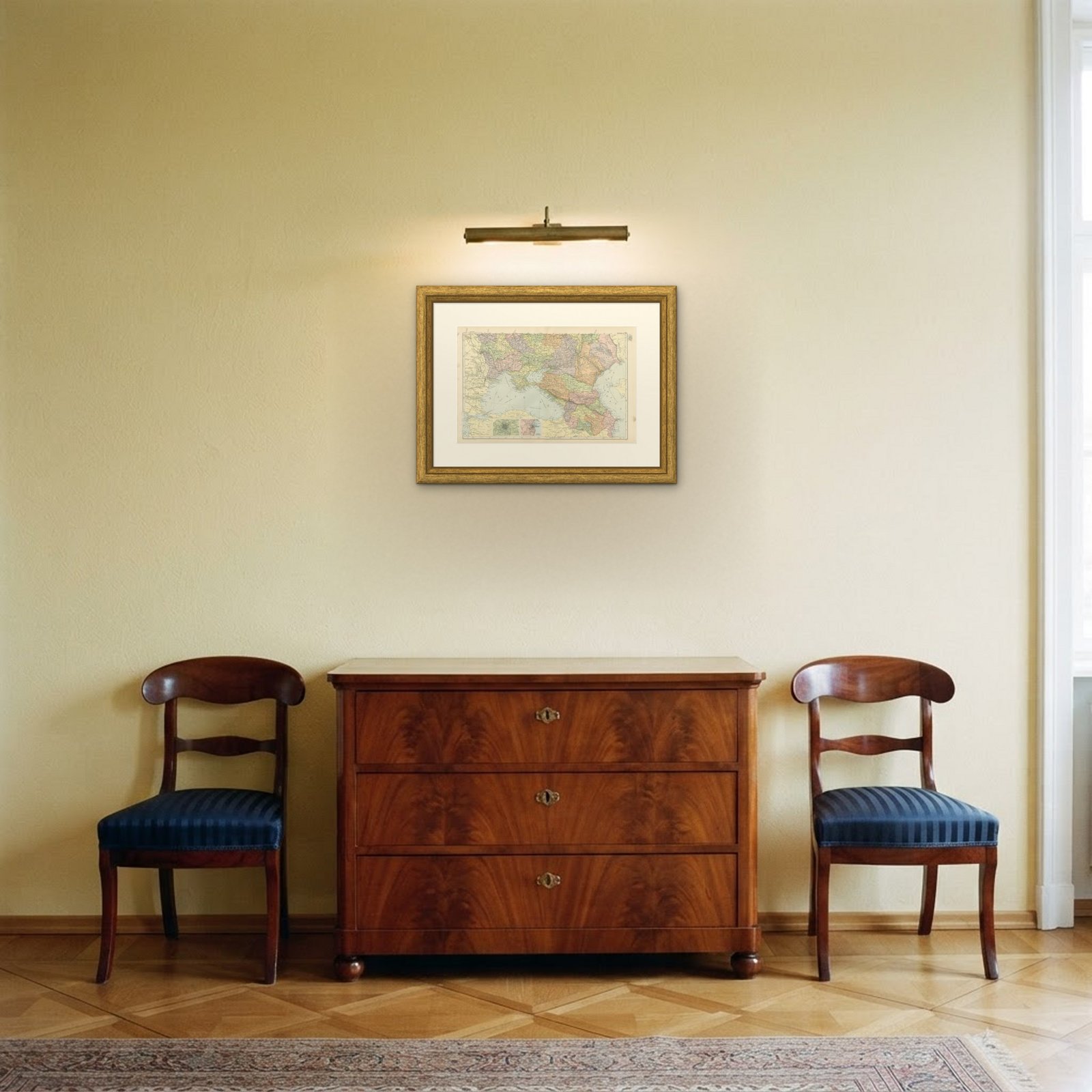 In the room


Interior designers: BarTrade members buy at their trade price. How it works
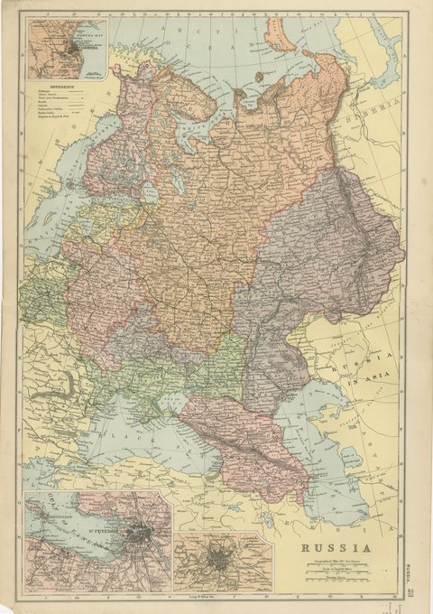
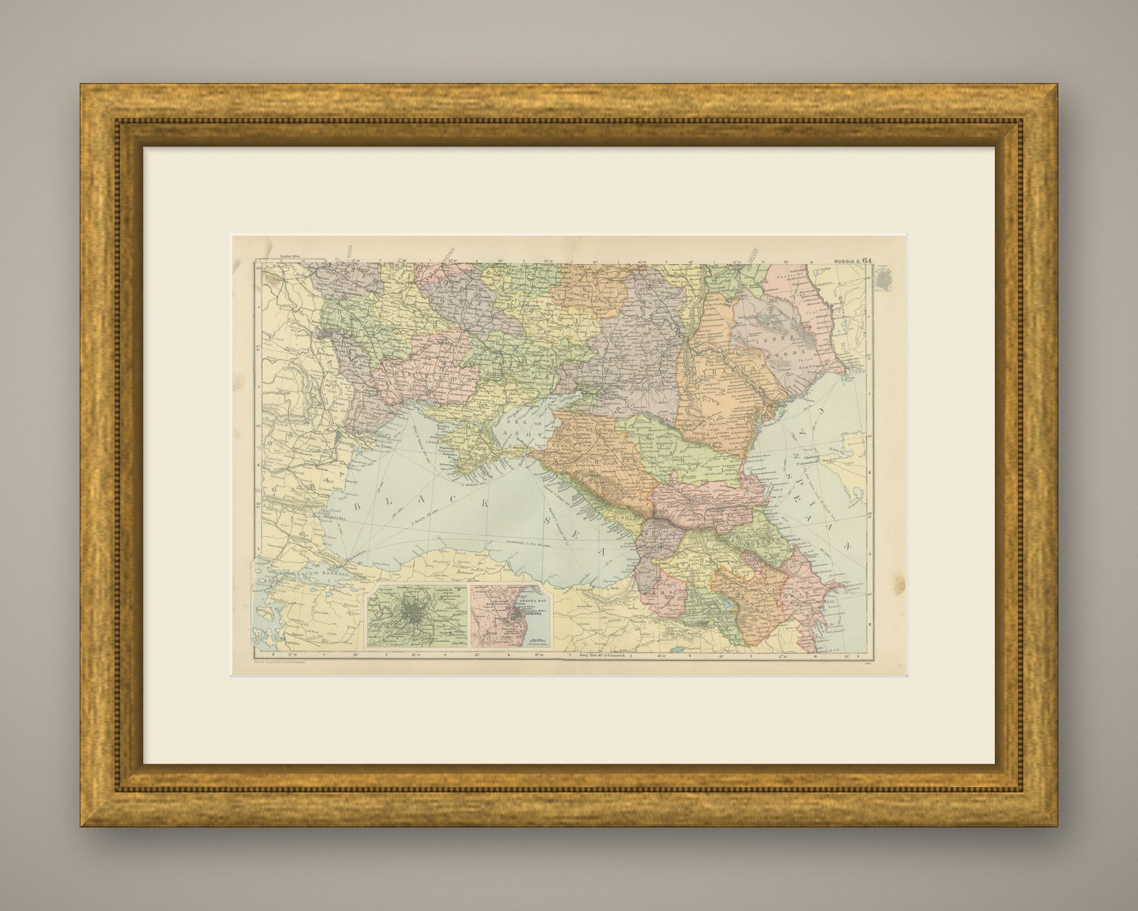
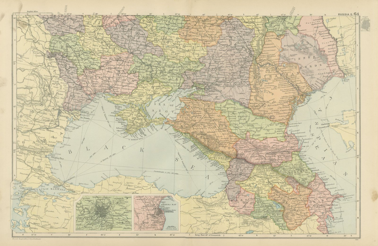
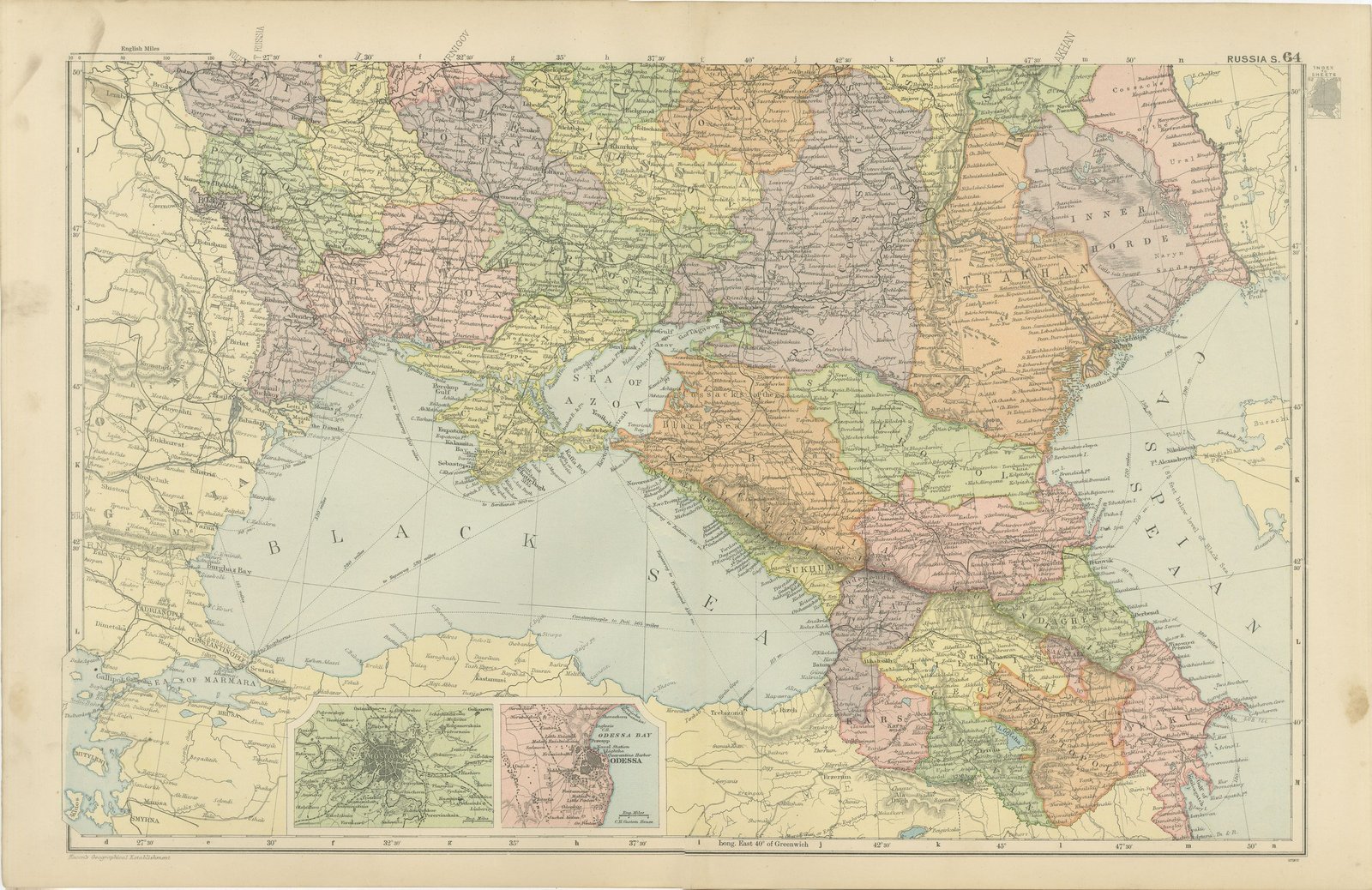
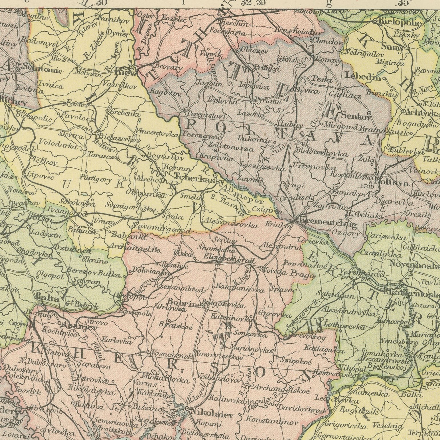
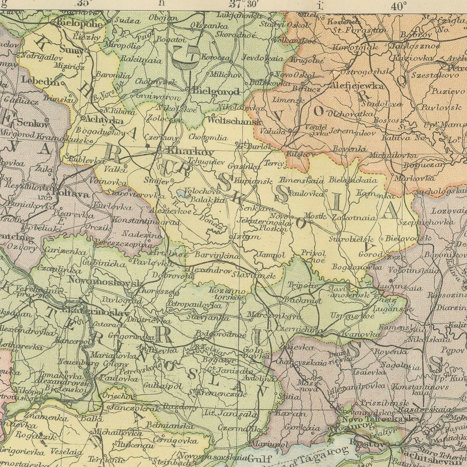
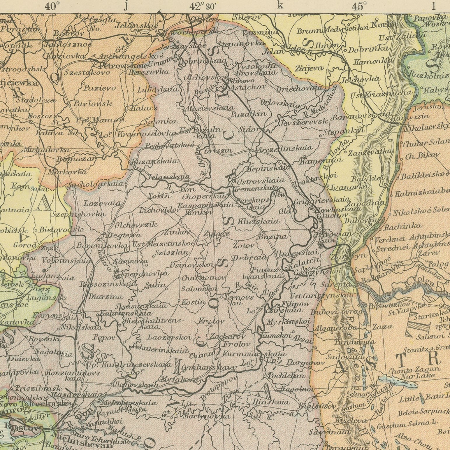
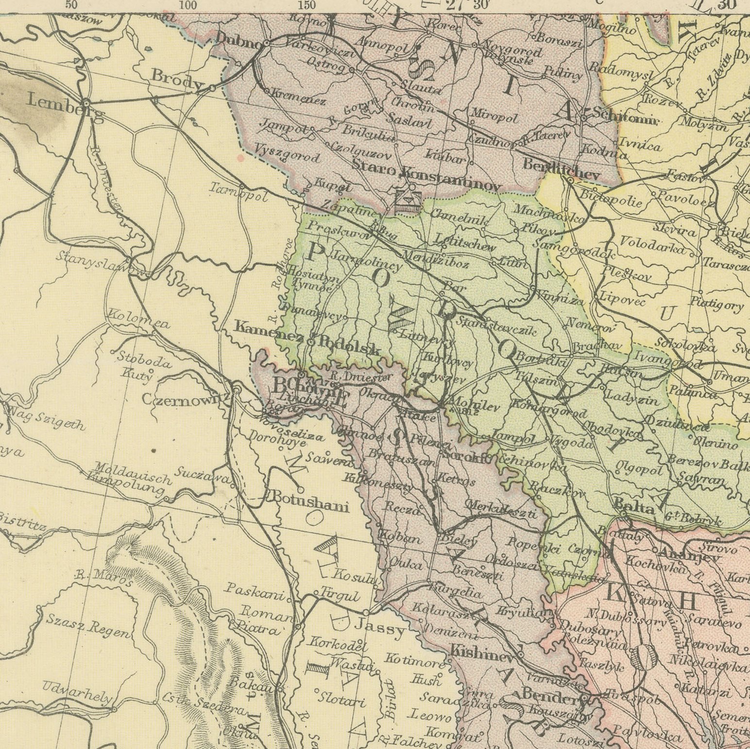
An original antique map of southern Russia, color printed in 1898 for Bacon's Commercial and Library Atlas of the World. The Black Sea lies at the center of the double page, with the Crimea and the Sea of Azov above it, the Caucasus governments running east to the Caspian, and the Ukrainian and Don provinces across the north, each separately colored. Two inset plans give Constantinople and Odessa Bay with the port.
The plate belongs to the 1898 edition of Bacon's Commercial and Library Atlas of the World with Index-Gazetteer, edited by G. W. Bacon of 127 Strand, London. Printed and colored at Bacon's Geographical Establishment, the atlas set out one hundred double page maps and one hundred inset maps, and its purpose was practical: it recorded the political world as the Victorians left it, a year after the Diamond Jubilee and a year before the South African War.
The sheet covers ground that has rarely been out of the news since: Sevastopol and Balaclava on the Crimean coast, forty years after the war that made their names, Odessa as the grain port of the empire, and Baku on the Caspian at the start of the oil boom that made it the largest producer in the world. Provinces are named in the imperial Russian form, so the map is equally useful to historians and to anyone following the region today.
Moderate overall age toning, with the paper darker along the top edge and gray handling soiling in the margins. The printed image itself is clean.
The sheet is large enough to carry a chimney breast or a stairwell and quiet enough in color to sit with books and furniture rather than compete with them. Collectors of Victorian cartography, interior designers and anyone with a tie to the region will find a use for it. This is an original antique map, not a modern reproduction. This item is sold unframed.