 The sheet, as you receive it
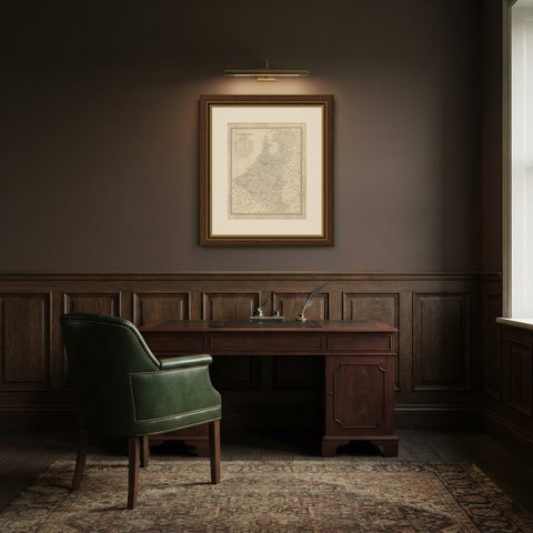
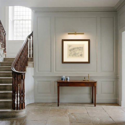
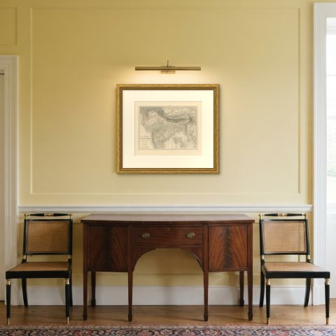
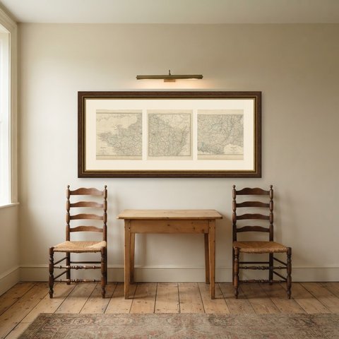
 In the room 1
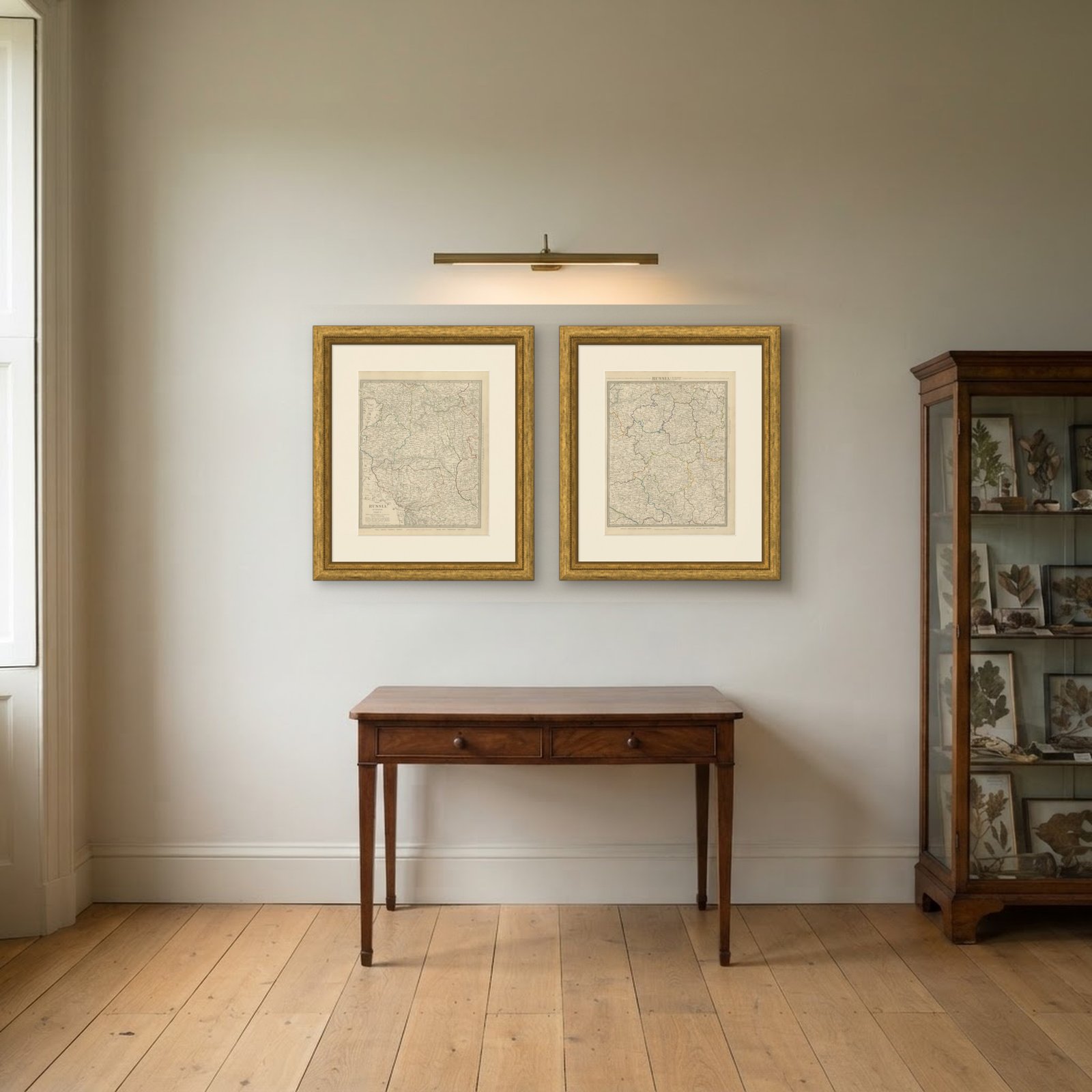
Interior designers: BarTrade members buy at their trade price. How it works
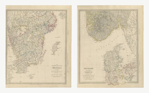
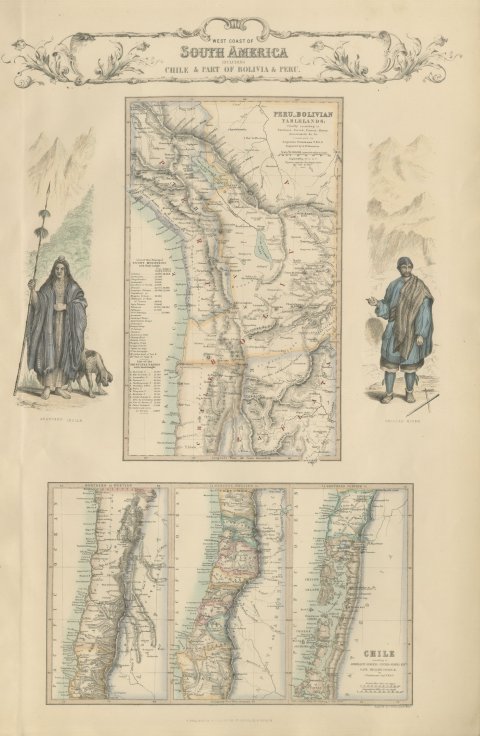
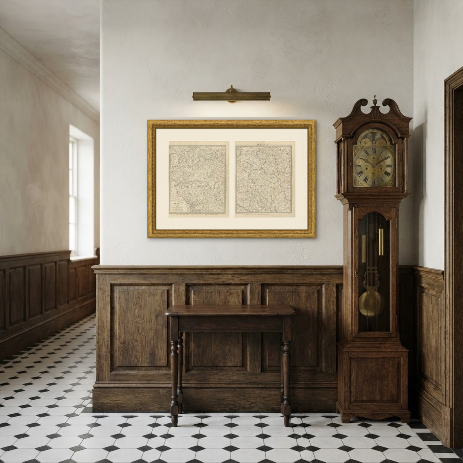
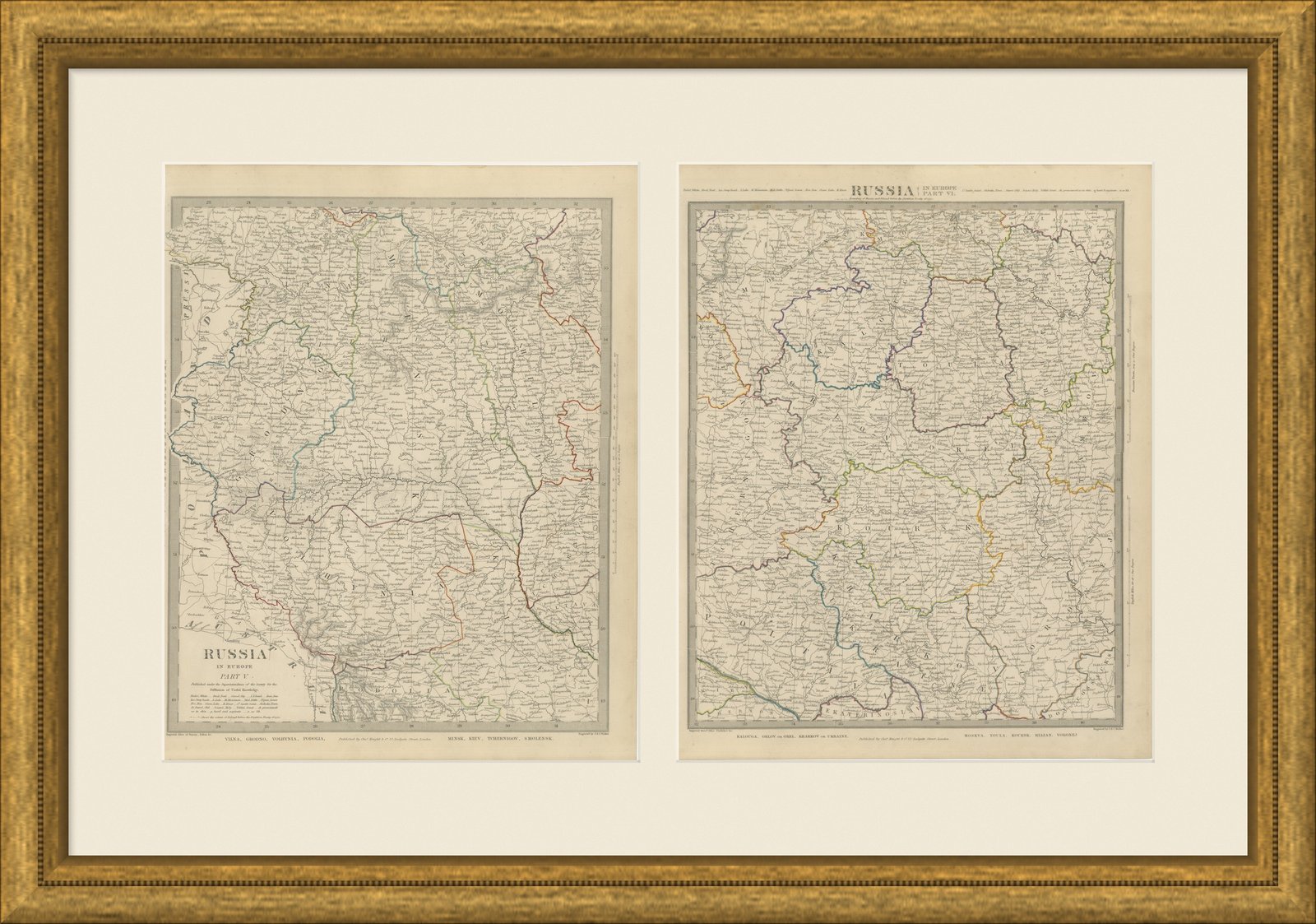
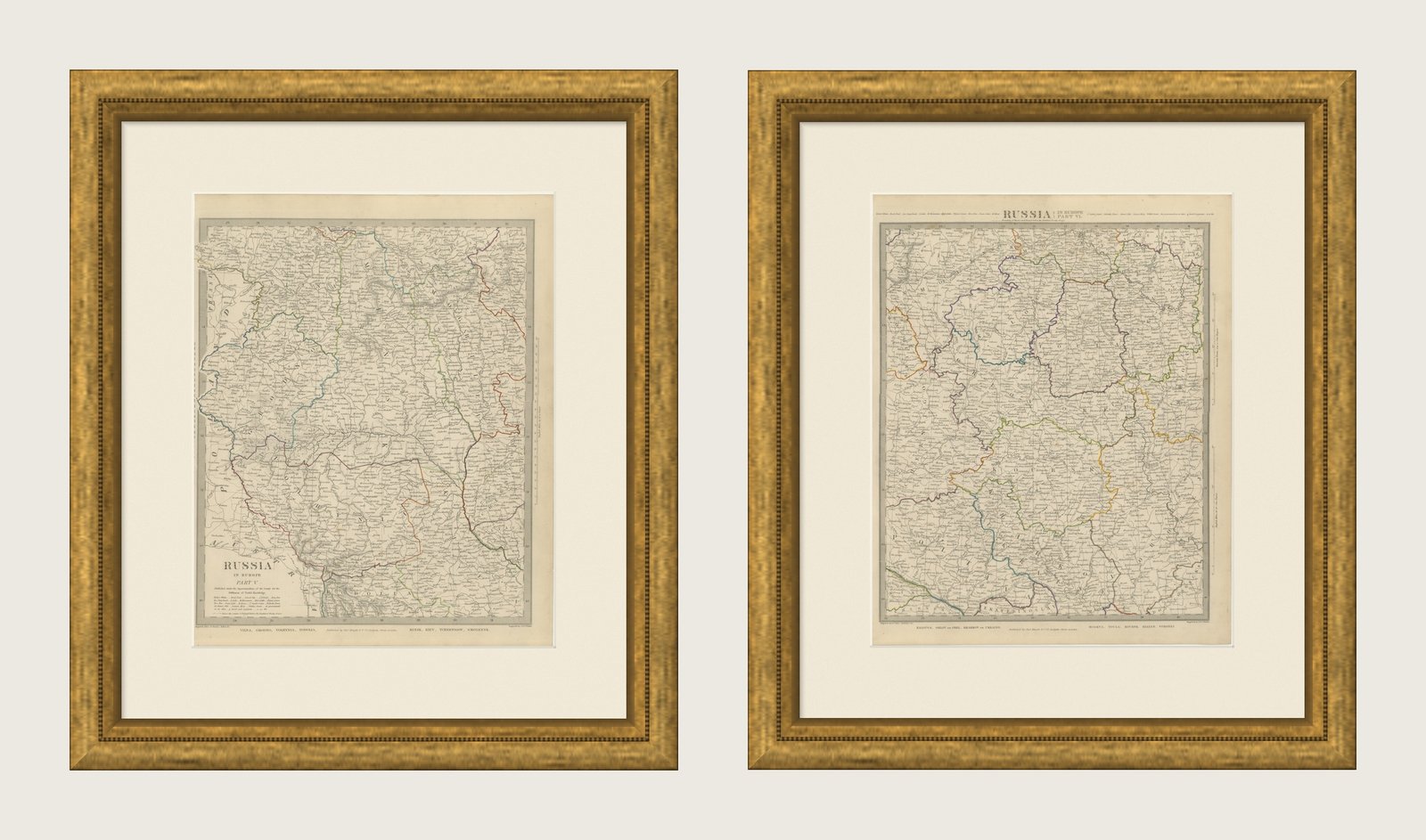
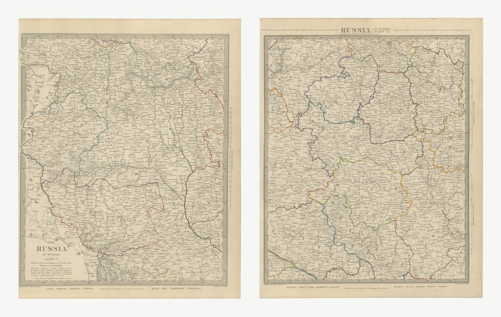
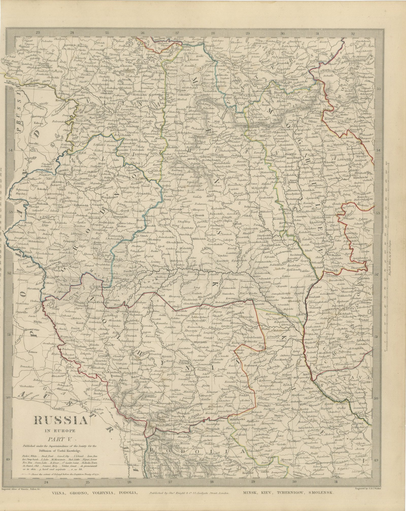
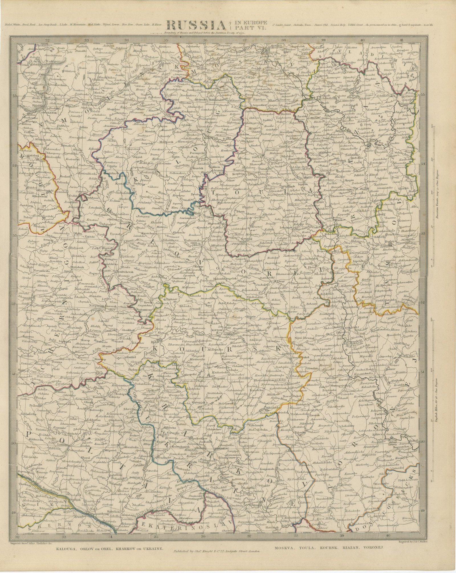
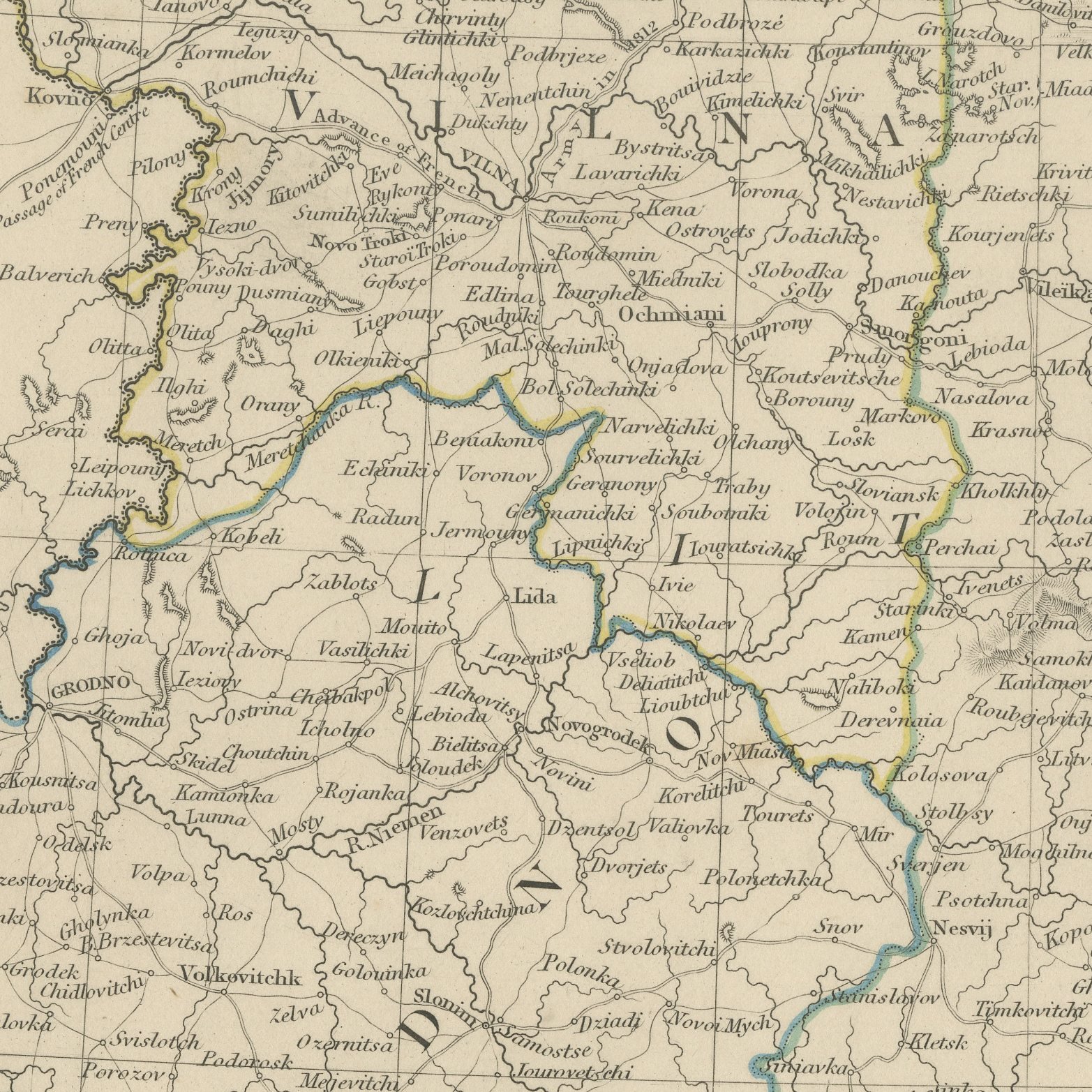
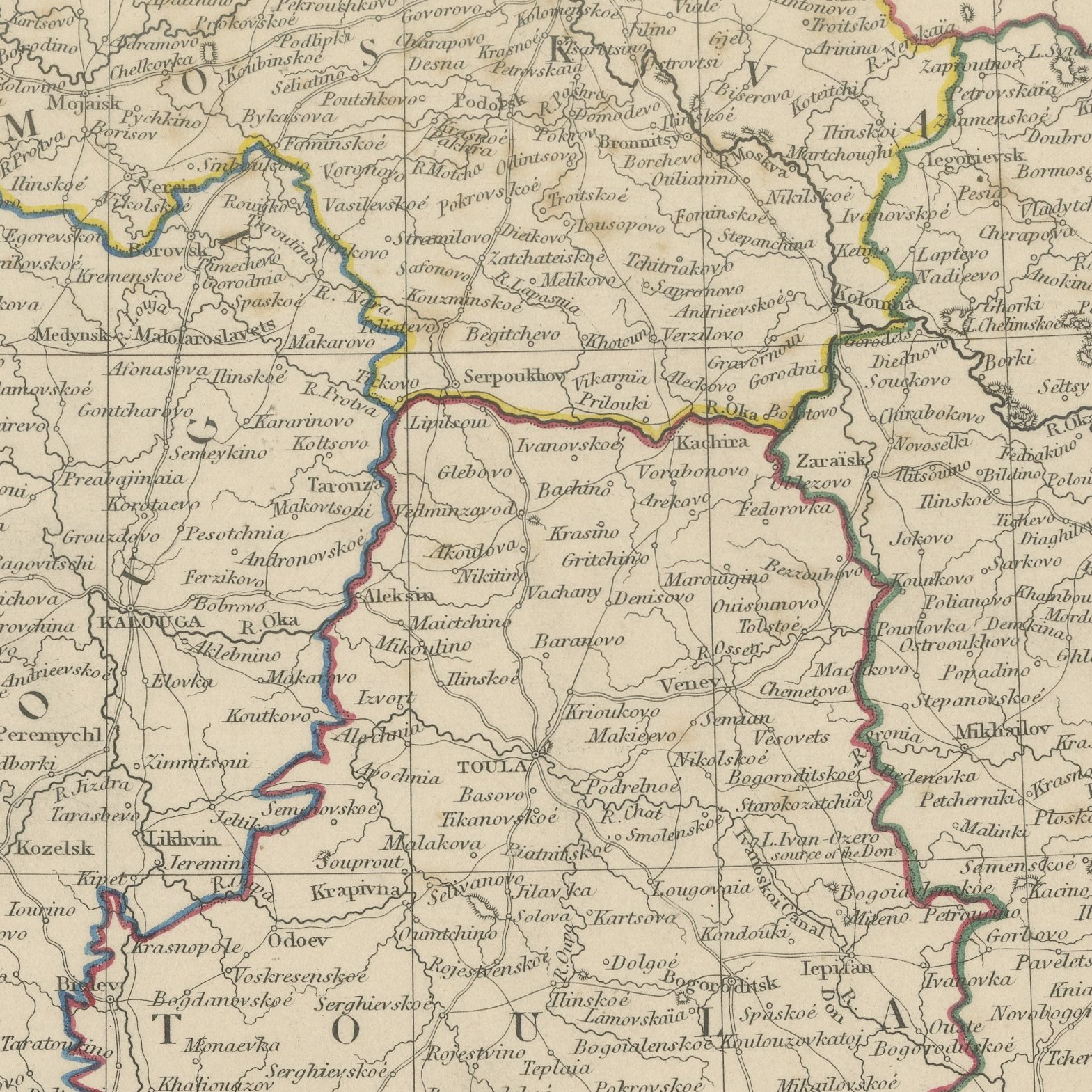
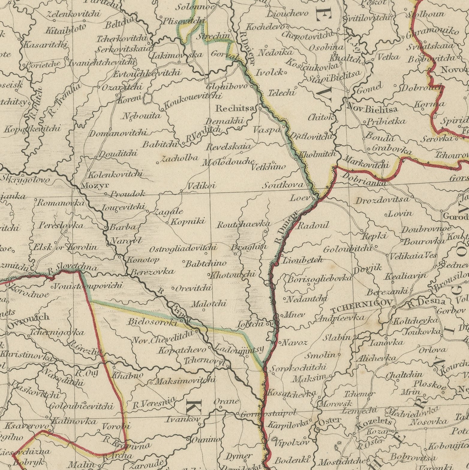
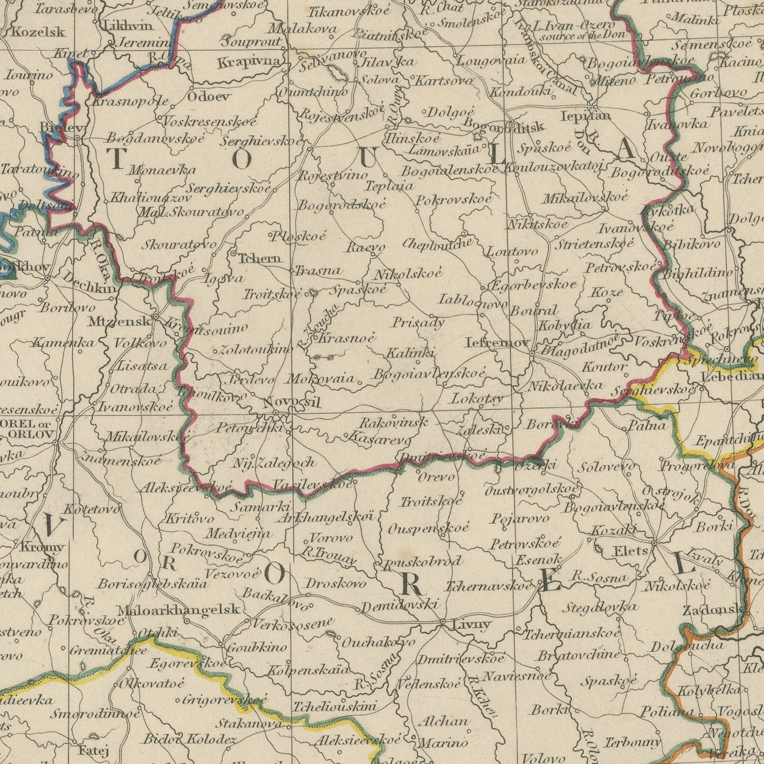
This is an original antique map of Ukraine and western Russia on two adjoining sheets from the Society for the Diffusion of Useful Knowledge, offered together as one set. The first, Part V of the Society's large map of Russia in Europe, covers what is now western Ukraine and Belarus, with Kiev on the Dnieper near its center, the governments of Vilna, Grodno, Minsk, Mohilev, Volhynia, Podolia and Tchernigov outlined in hand applied color, the Pripet marshes drawn across the north in a broad band of swamp symbols, and Galicia and Bessarabia beyond the frontier. The second, Part VI, takes up at its eastern edge and carries the black earth country from Moscow down to the Ukraine, with Kalouga, Orel, Tula, Kursk, Riazan, Voronezh, Poltava and Kharkov all marked and the land of the Don Cossacks lettered at its lower corner. Both sheets are engraved to village level with the post roads traced across the plain, both name the Imperial Atlas and the surveys of Piadichev among their sources, and both carry a dotted line engraved to show the boundary of Russia and Poland before the Partition Treaty of 1772.
The sheets come from Maps of the Society for the Diffusion of Useful Knowledge, in the new edition corrected to the present time that Charles Knight and Company published at 22 Ludgate Street, London, in 1845, whose first volume covers Europe. The Society was founded in 1826 by Henry Brougham and his circle to publish useful knowledge at a low price. Its maps were issued in parts from 1829, first by Baldwin and Cradock, from 1842 by Chapman and Hall and then by Charles Knight, and the series grew to about two hundred maps. Most of them were engraved on steel by John and Charles Walker, and the outline color was applied by hand.
The sheets of this set belong to one map and are sold together.
Two sheets, both age toned. Foxing in the margins of all of them. Handling wear to the corners of plate 62. The printed images are clean.
The set is two original sheets sold together, never split. These are original antique maps, not modern reproductions. This item is sold unframed.