 The sheet, as you receive it
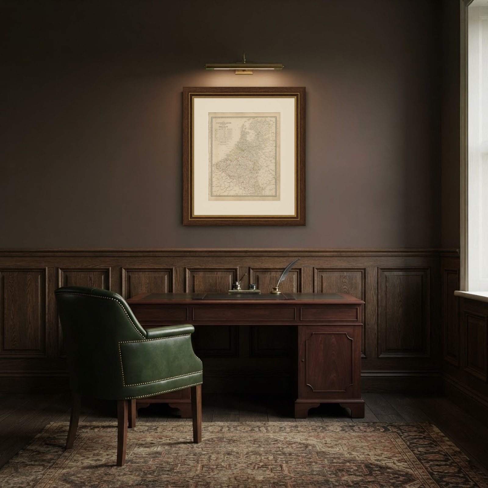 In the room
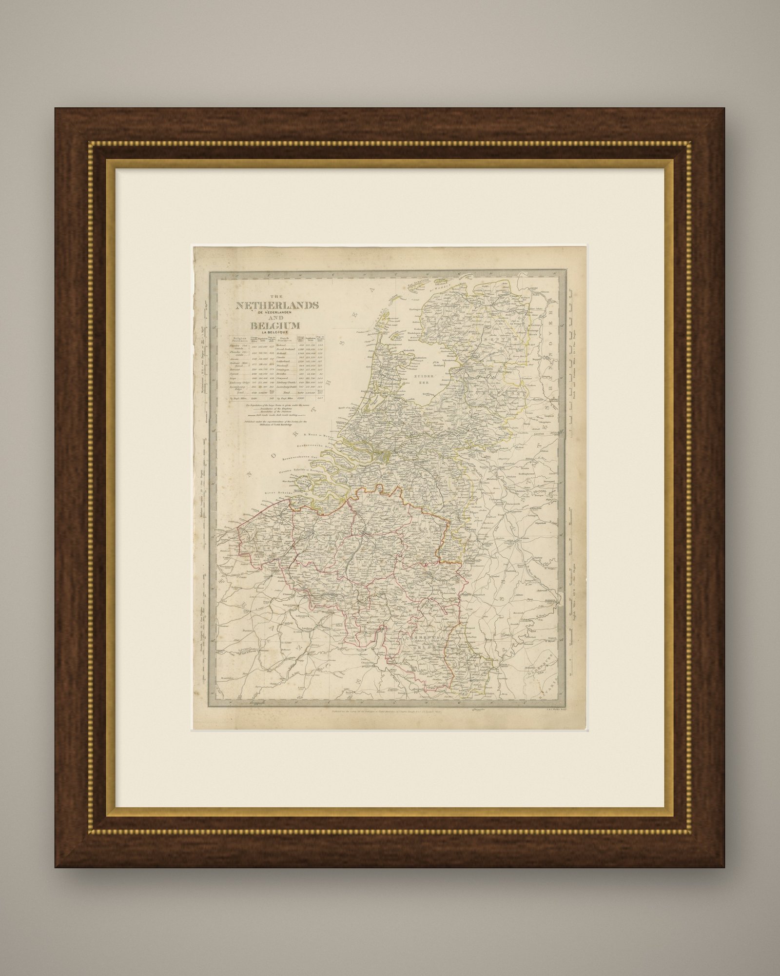
Interior designers: BarTrade members buy at their trade price. How it works
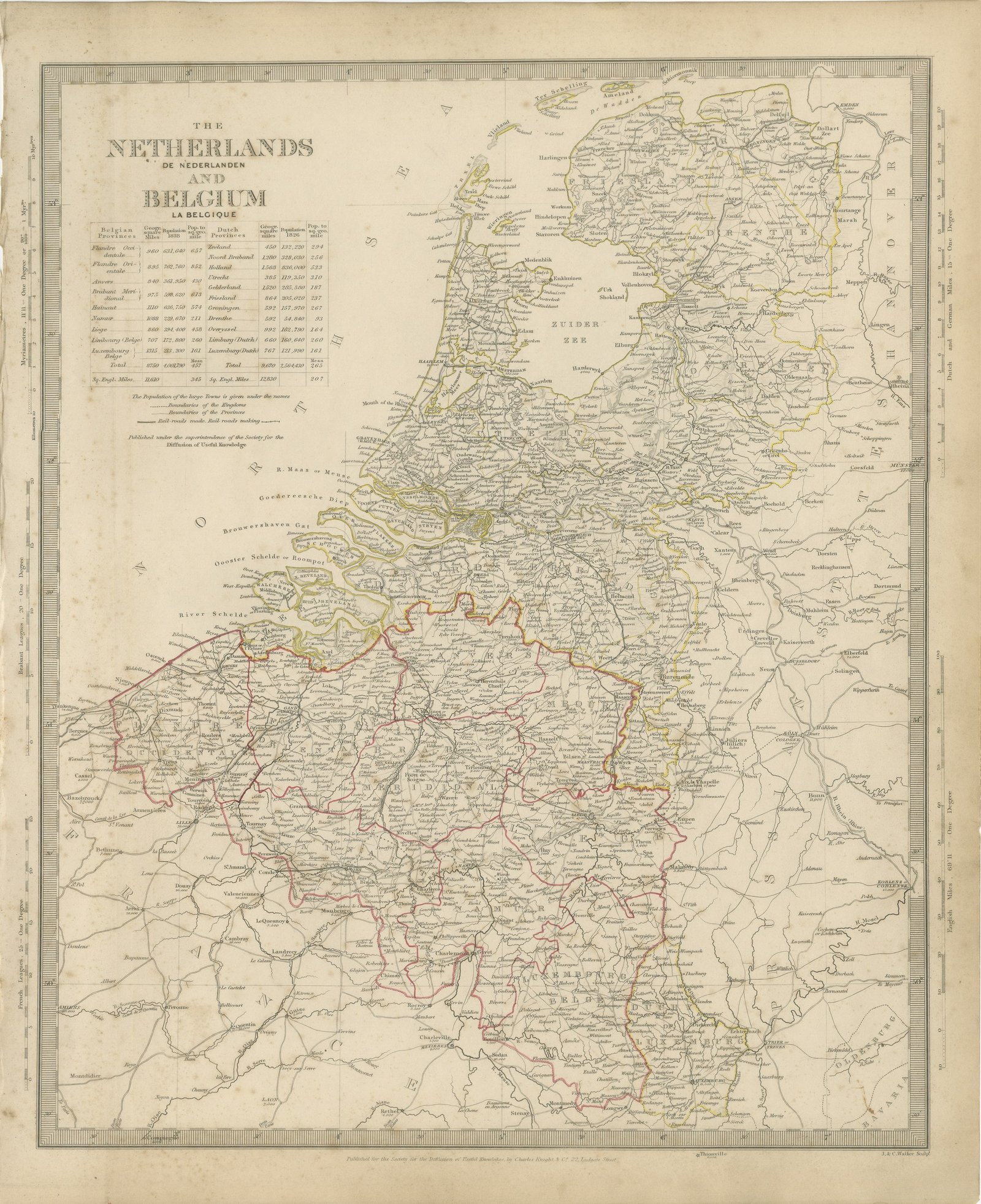
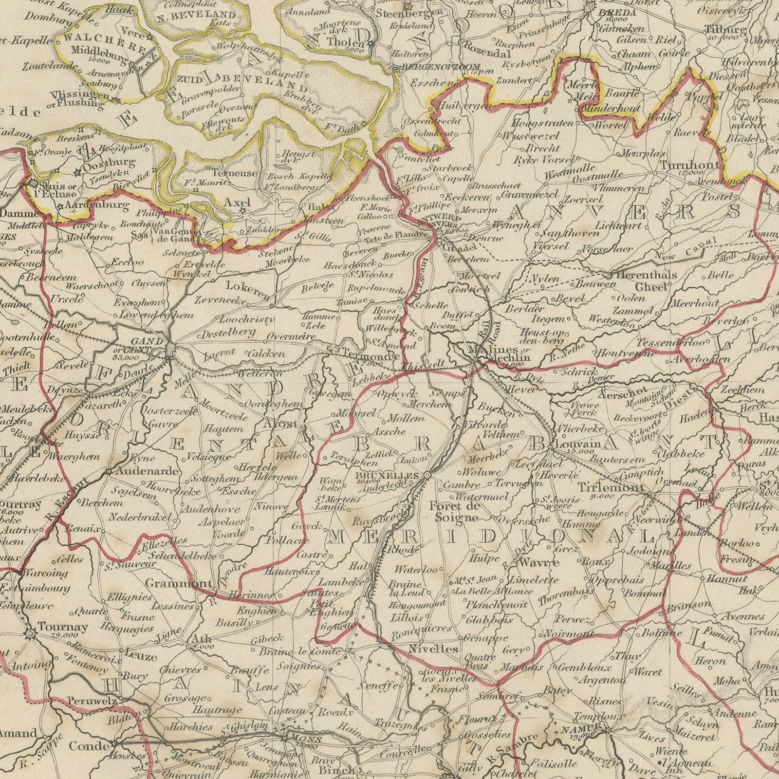
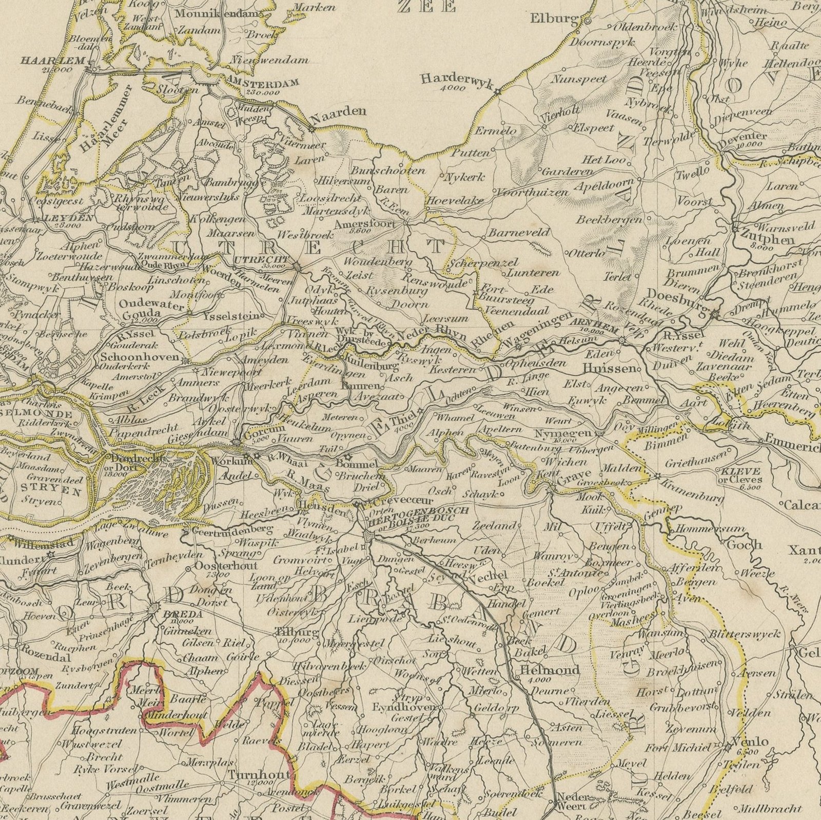
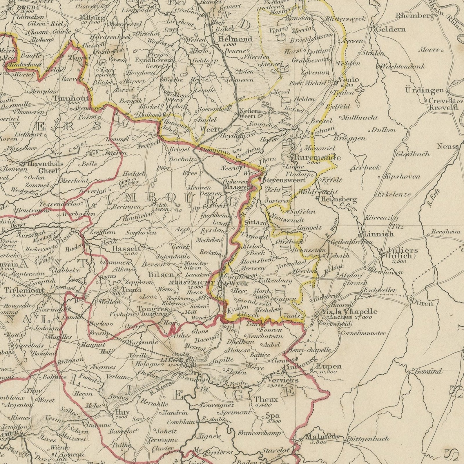
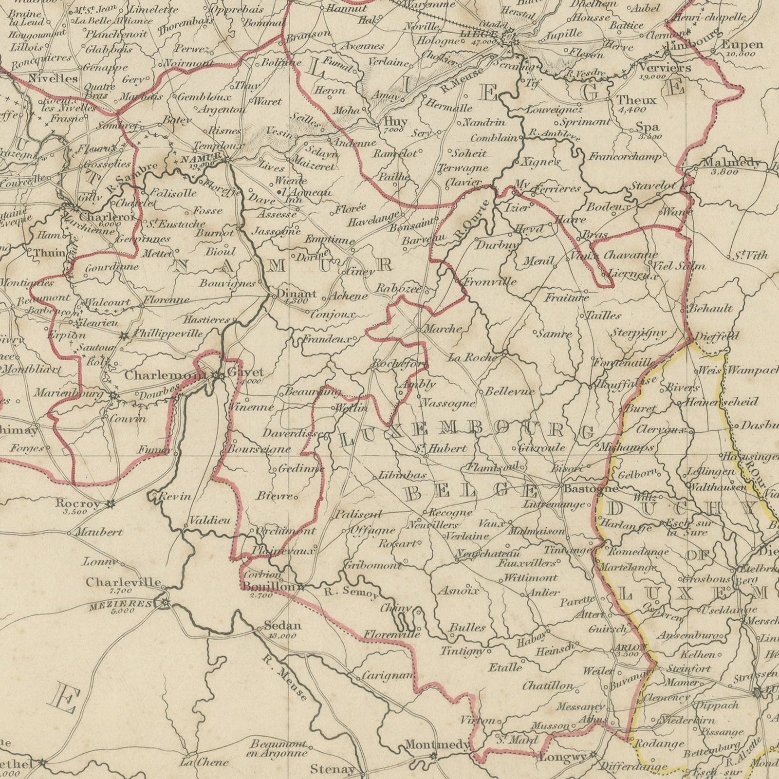
This antique map of the Netherlands and Belgium, published in 1845, carries both countries on one upright sheet and gives each its name in two languages, the Netherlands as De Nederlanden and Belgium as La Belgique. The Dutch provinces run up the right of the sheet from Zeeland and North Brabant through Holland, Utrecht, Gelderland, Overyssel, Drenthe, Friesland and Groningen, with the Zuider Zee cut deep into the land and the islands of Zeeland engraved in fine detail. Belgium fills the lower half, with East and West Flanders, Antwerp, Brabant, Hainaut, Namur, Liege, Limburg and Luxembourg bounded in hand applied red, yellow and orange. The Maas, the Scheldt and the canals of the Low Countries are drawn throughout, main roads are distinguished from secondary ones, and the engraved tables at the upper left give the area in square miles and the population of every Belgian and Dutch province, with totals for each kingdom.
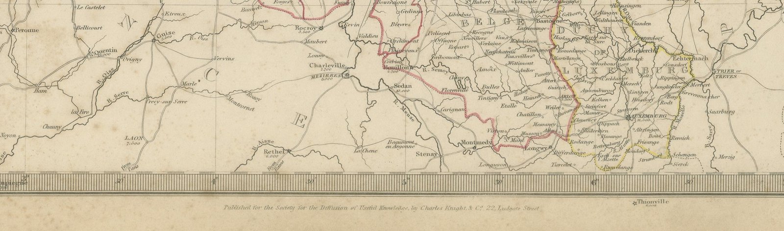
The plate comes from Maps of the Society for the Diffusion of Useful Knowledge, in the new edition corrected to the present time that Charles Knight and Company published at 22 Ludgate Street, London, in 1845, whose first volume covers Europe. The Society was founded in 1826 by Henry Brougham and his circle to publish useful knowledge at a low price. Its maps were issued in parts from 1829, first by Baldwin and Cradock, from 1842 by Chapman and Hall and then by Charles Knight, and the series grew to about two hundred maps. Most of them were engraved on steel by John and Charles Walker, and the outline color was applied by hand.
The plate is signed by J. and C. Walker as engravers. The sheet is lettered as published under the superintendence of the Society.
Strong age toning, the paper a warm buff, with the paper darker along the top and bottom edges, foxing through the margins and one or two spots larger than the rest. The printed image itself is clean.
This is an original antique map, not a modern reproduction. This item is sold unframed.