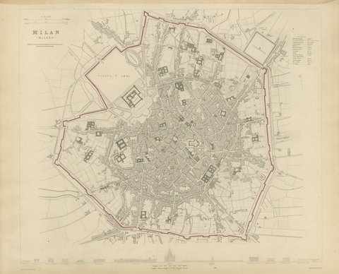
 The sheet, as you receive it
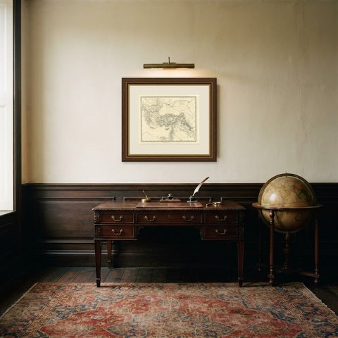
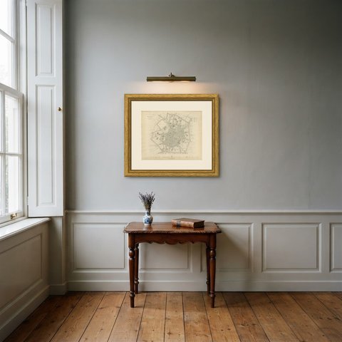
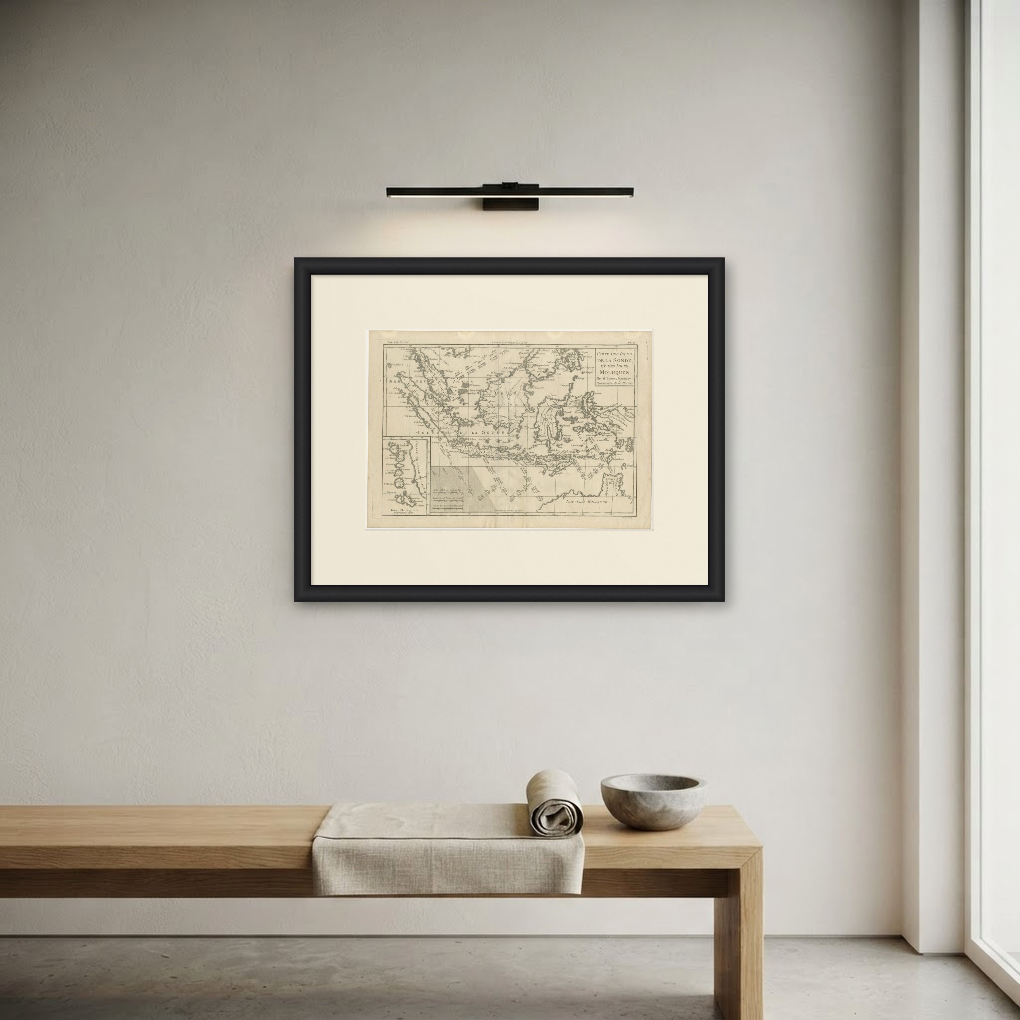
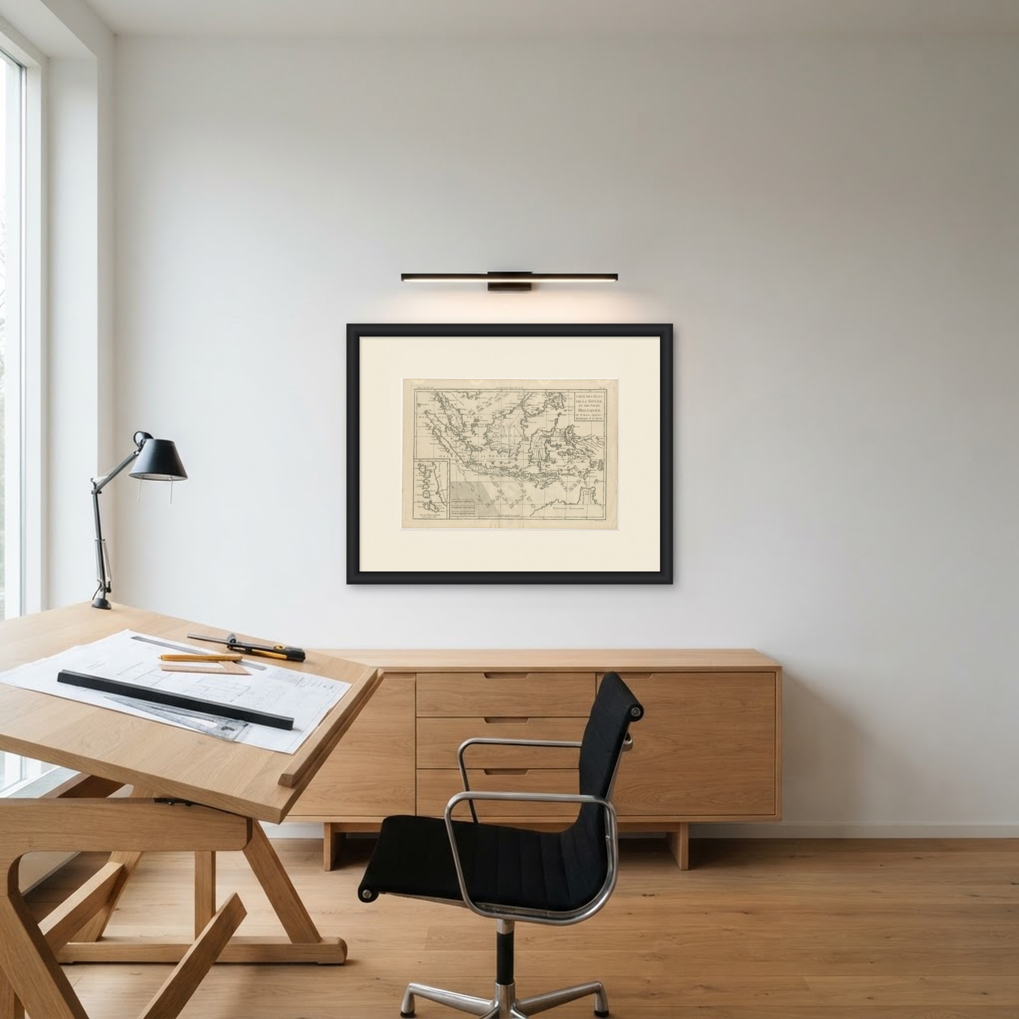 In the room
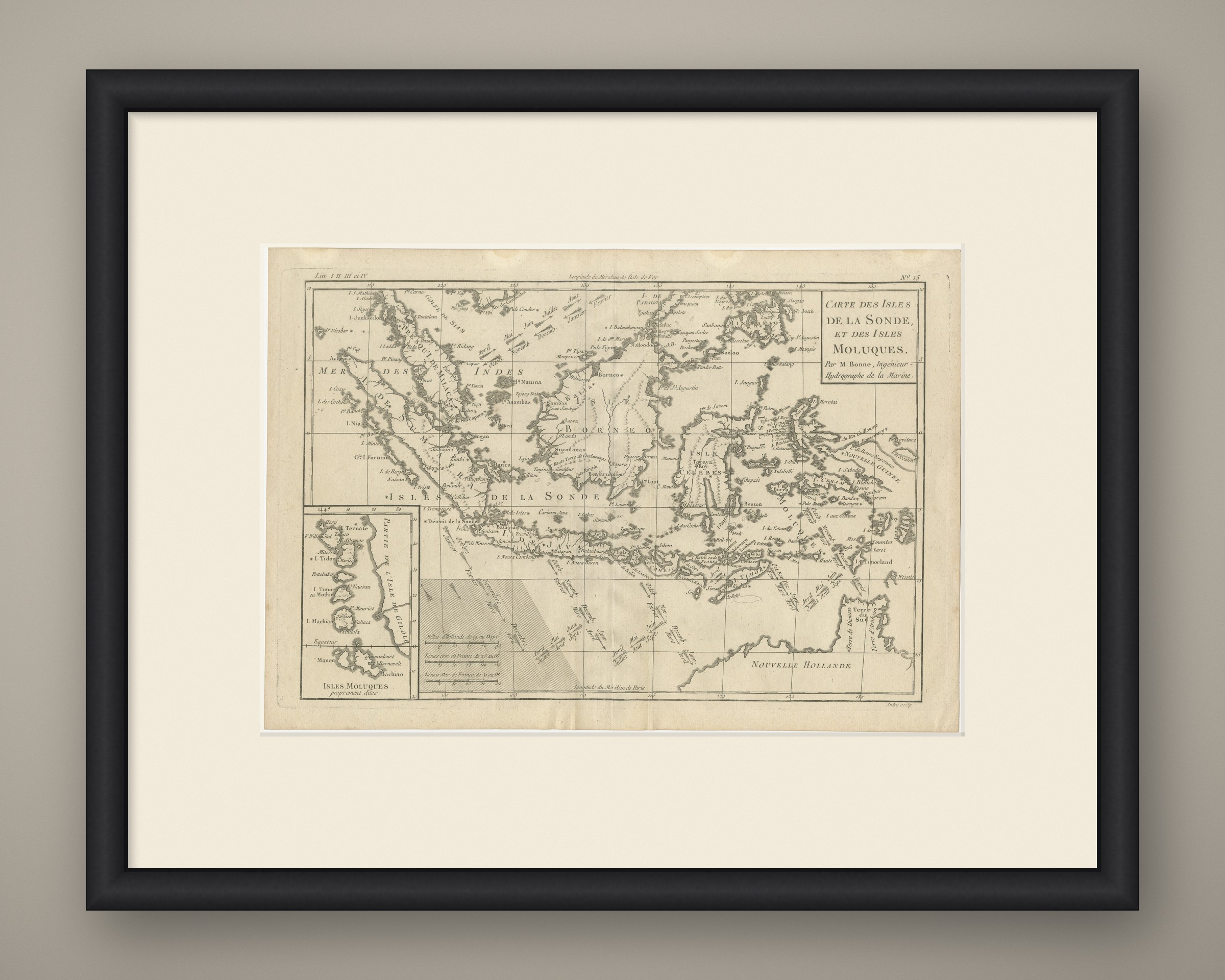
Interior designers: BarTrade members buy at their trade price. How it works
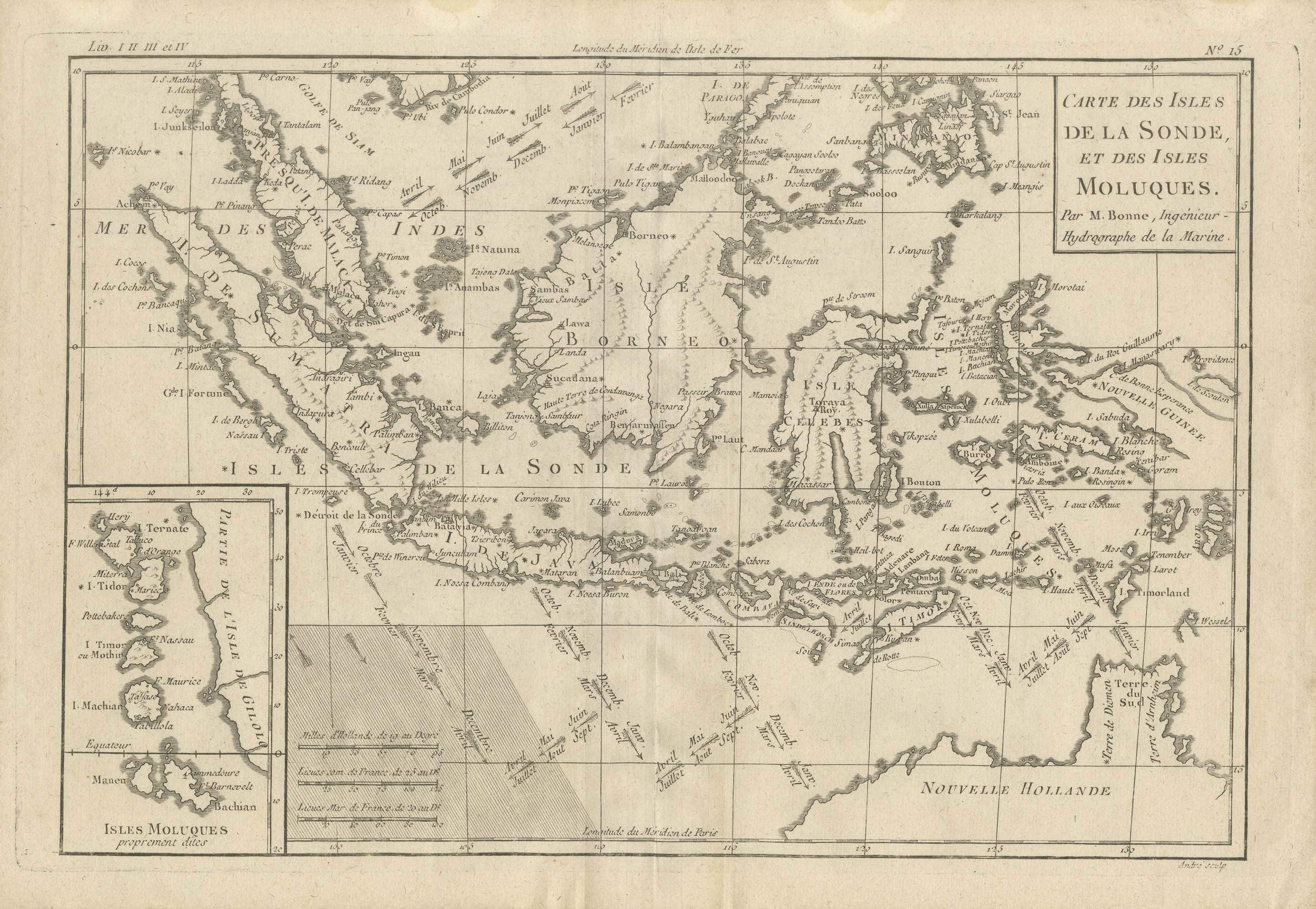
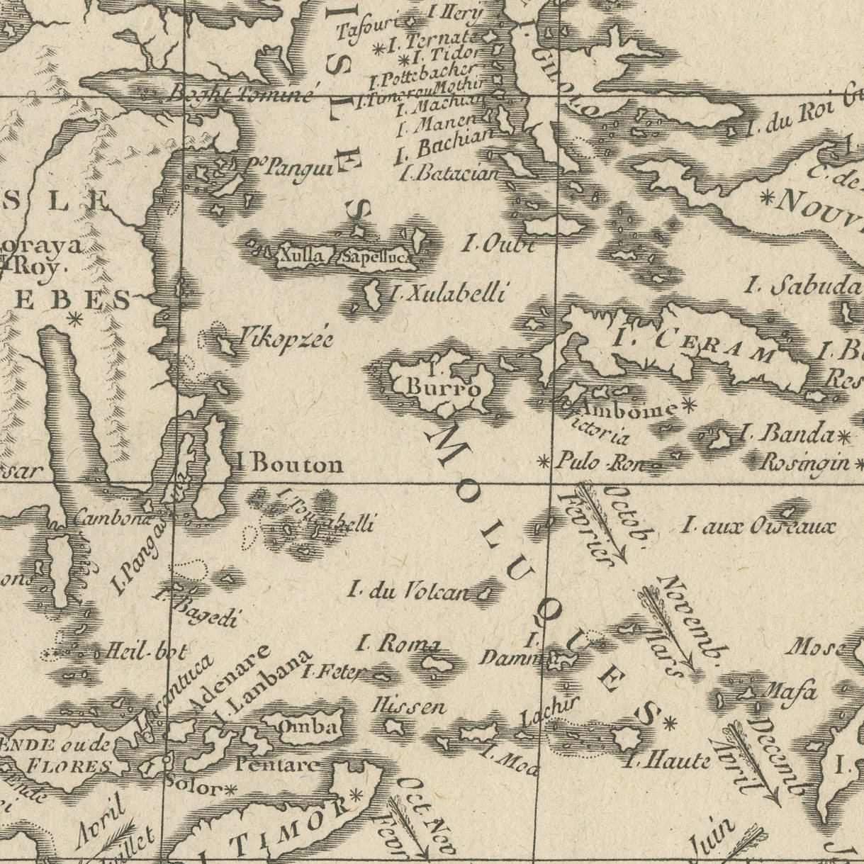
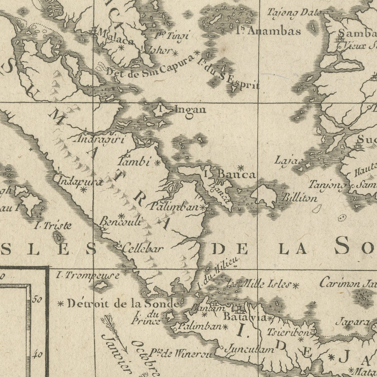
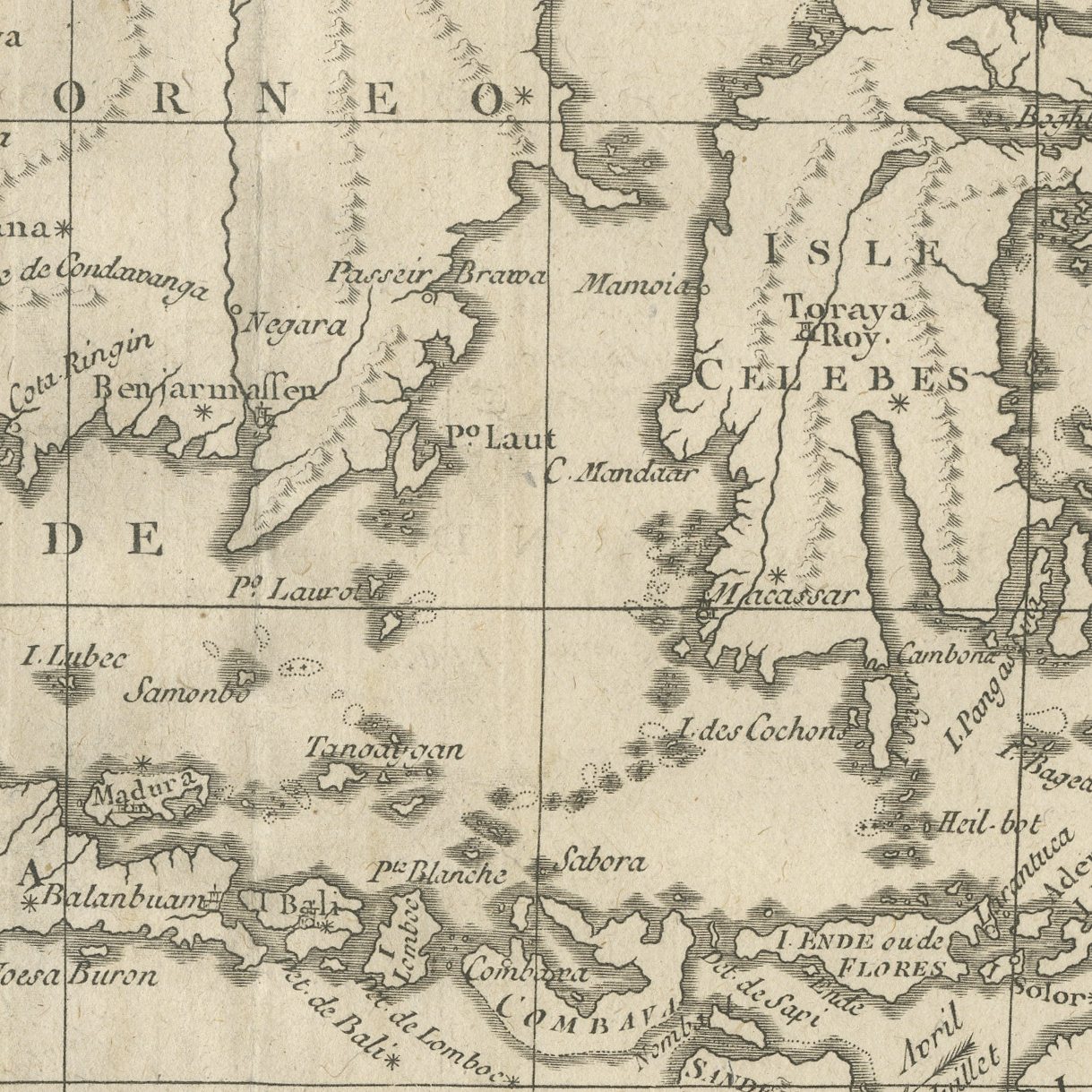
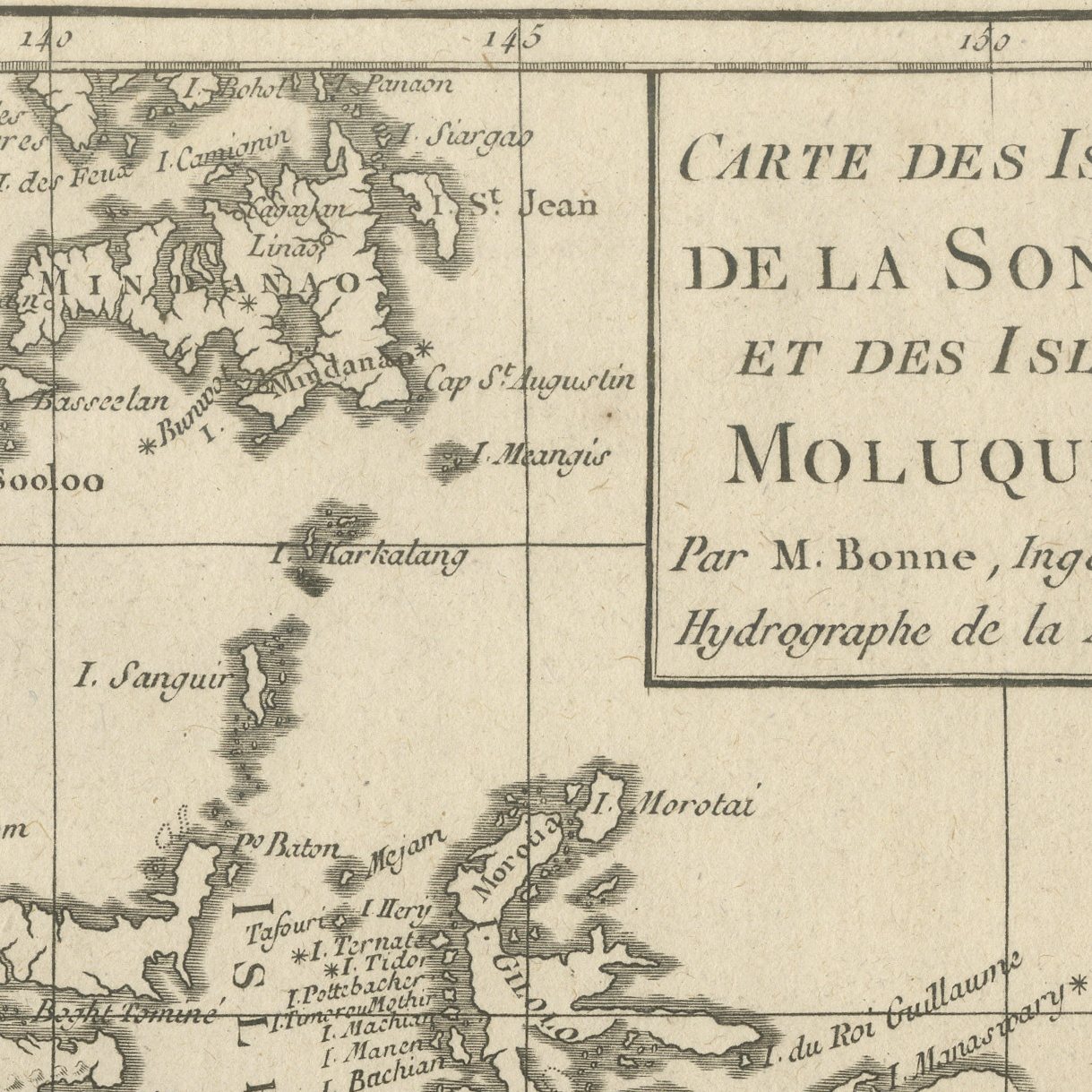
An original antique chart of the Indonesian archipelago, numbered 15 at the upper right and lettered in a ruled panel CARTE DES ISLES DE LA SONDE, ET DES ISLES MOLUQUES, Par M. Bonne, Ingenieur Hydrographe de la Marine. The sheet runs from Sumatra and Java across Borneo, Celebes and the Moluccas to Mindanao and the southern Philippines, with the north coast of Australia lettered NOUVELLE HOLLANDE at the lower right. An inset at the lower left carries the Moluccas at a larger scale. The engraving is fine and close, every island and shoal named, with no color.
Rigobert Bonne succeeded Jacques Nicolas Bellin as hydrographer to the French navy and produced the charts for several of the great French atlases of the later eighteenth century, including the Atlas Encyclopedique. His work is valued for its accuracy rather than its ornament: there is no cartouche beyond the ruled title panel and no decoration anywhere on the sheet.
The map puts the whole Indonesian archipelago on one sheet at a scale where individual islands can be found. The uncolored sheet shows the engraving itself at its clearest. It covers Indonesia, Malaysia and the Philippines together, and it frames neatly.
Light uneven toning, browner towards the edges. Handling soiling along the right edge. Scattered light foxing in the margin. Slight wear at the top left corner.
This is an original antique map, not a modern reproduction. This item is sold unframed.