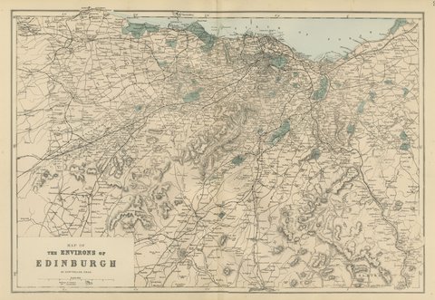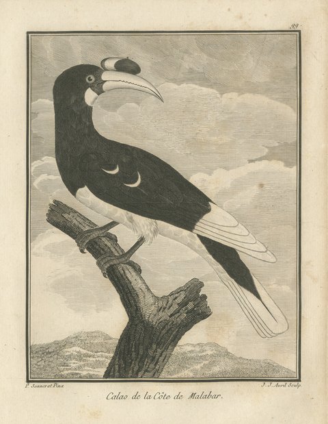
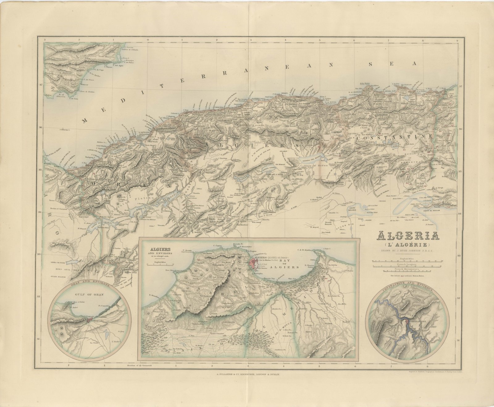
 The sheet, as you receive it
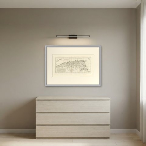
 In the room
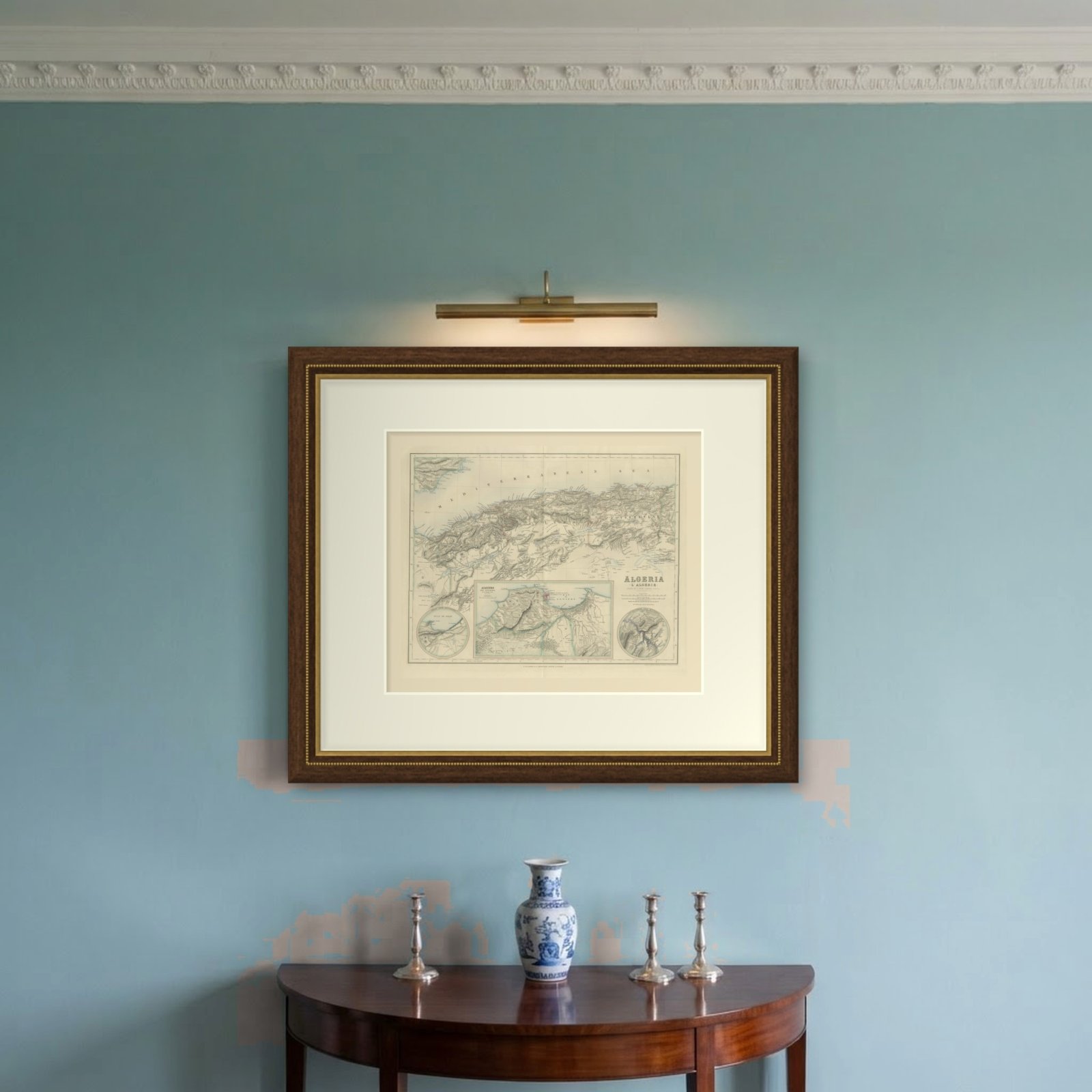
Interior designers: BarTrade members buy at their trade price. How it works
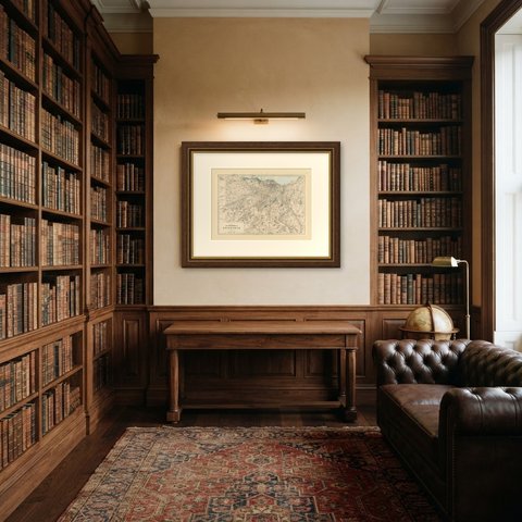
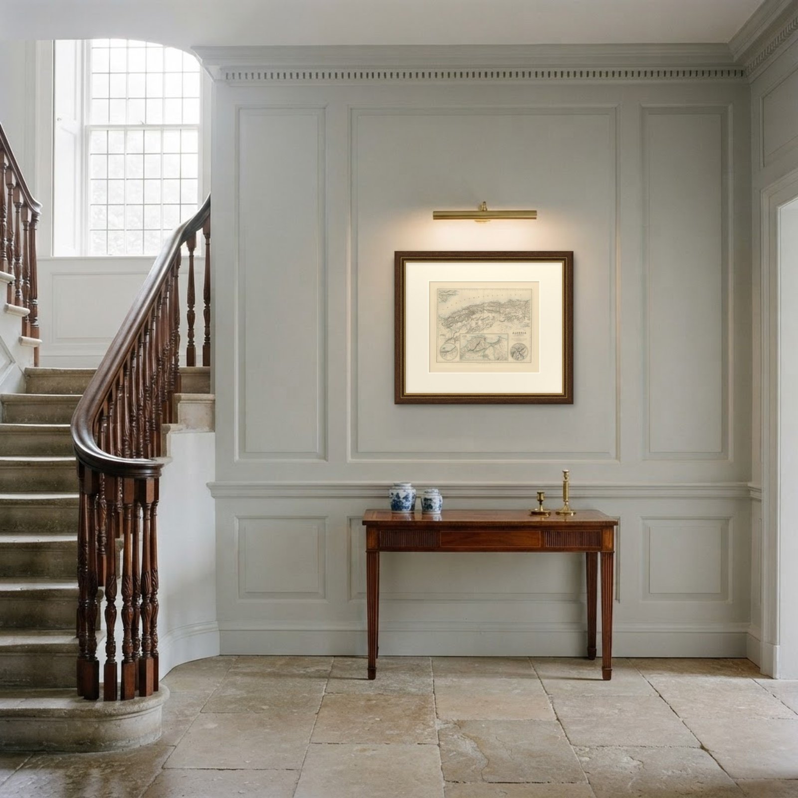
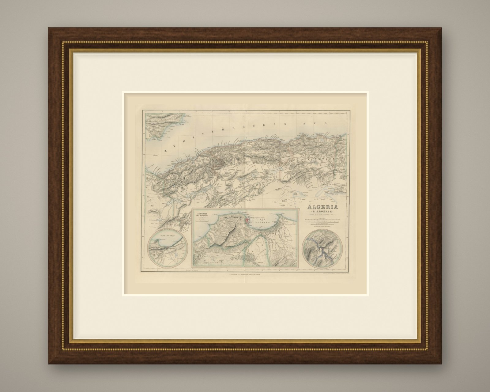
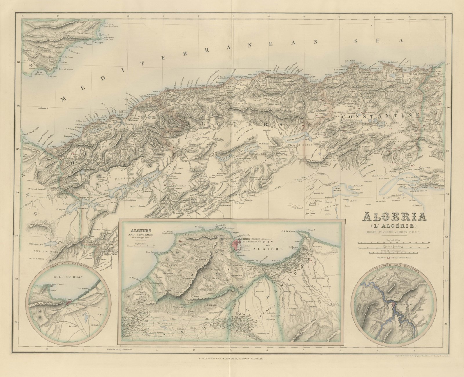
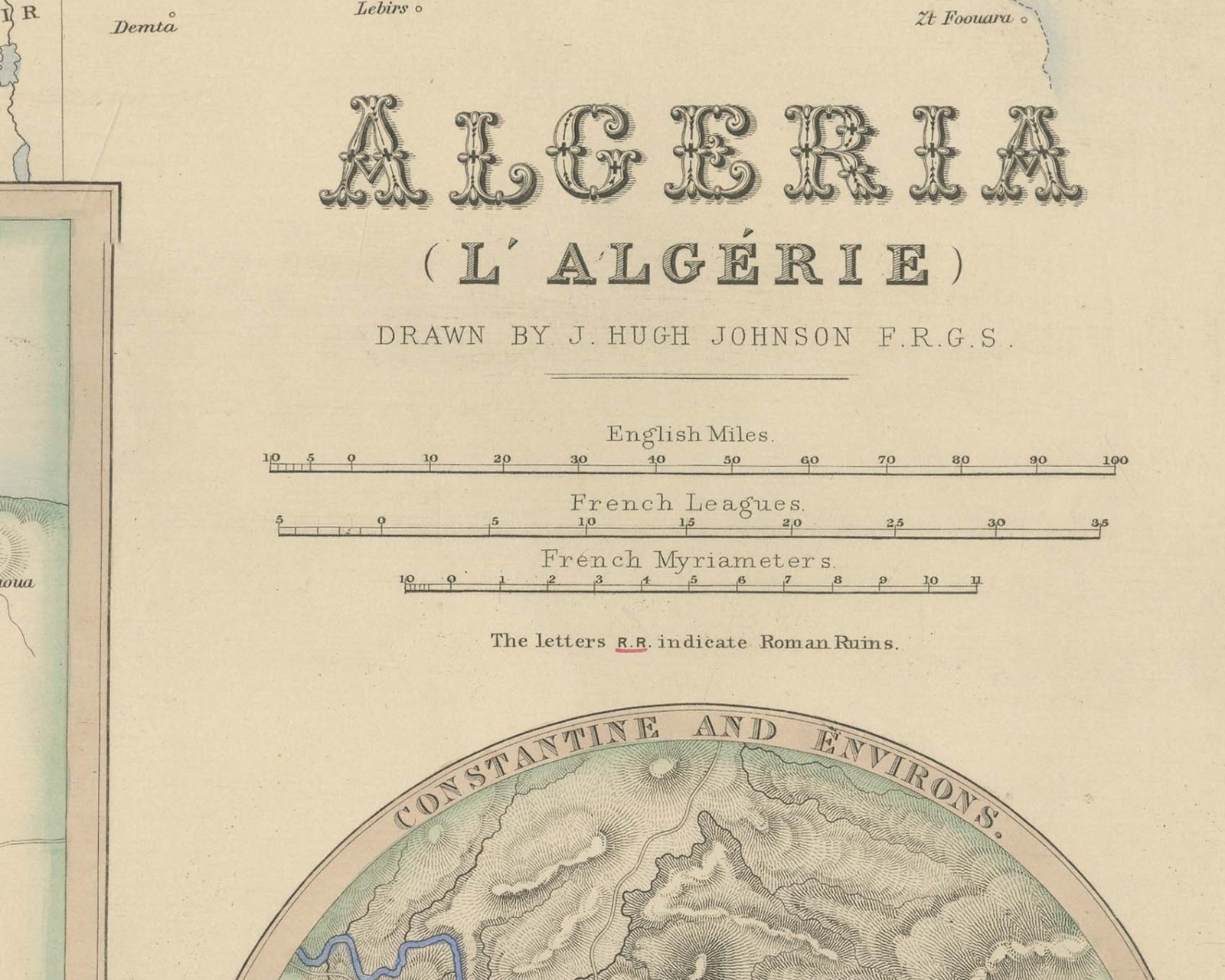
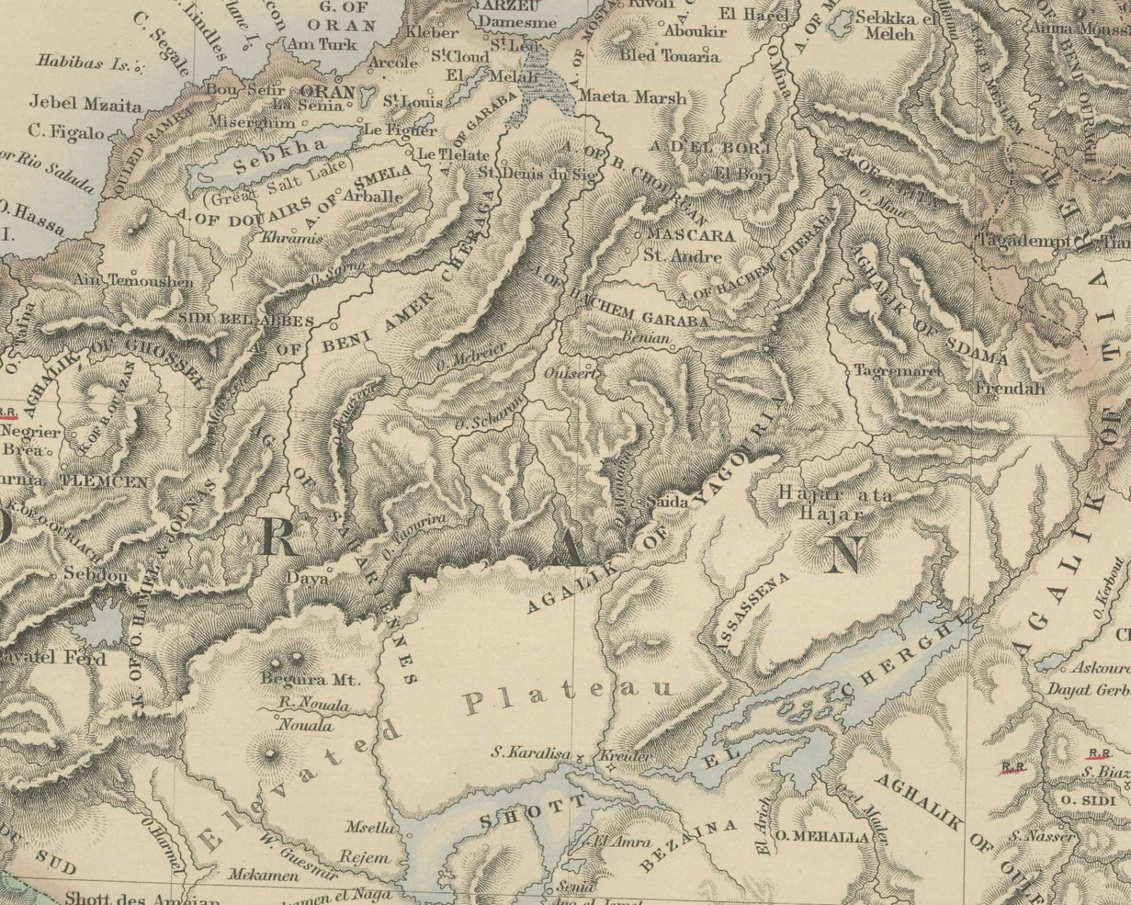
This is an original antique engraved map, colored by hand, from Fullarton's Companion Atlas to the Gazetteer of the World. The title on the right reads "ALGERIA (L'ALGÉRIE)". The map covers the country from the Moroccan frontier in the west to the Tunisian frontier in the east, with the Mediterranean across the top and the coast of southeastern Spain, from Cartagena to Almeria, in the upper left corner. The three provinces are lettered "ORAN", "ALGIERS" and "CONSTANTINE" and are set off in outline color, with the Atlas ranges drawn in hachures and the plateaus and salt lakes of the interior below them.
Three insets fill the lower part of the sheet. A circular inset at the lower left is titled "ORAN AND ENVIRONS." and shows the "GULF OF ORAN" with Oran and Mers el Kebir. The rectangular inset in the center, titled "ALGIERS AND ENVIRONS on an enlarged scale.", shows the city on the "BAY OF ALGIERS", the Sahel hills behind it and the plain of the Metidja. A circular inset at the lower right, titled "CONSTANTINE AND ENVIRONS.", shows the town on its height above the river. Under the title are three bar scales, "English Miles.", "French Leagues." and "French Myriameters.", and the note "The letters R.R. indicate Roman Ruins."; the R.R. marks are underlined in red across the map.
Below the title is the credit "DRAWN BY J. HUGH JOHNSON F.R.G.S." The line below the lower right corner of the border reads "Engraved at Stanford's Geographical Establishment 6 Charing Cross London." The imprint below the center reads "A. FULLARTON & Co. EDINBURGH, LONDON & DUBLIN."
The Companion Atlas to the Gazetteer of the World was published by A. Fullarton and Co. of London, Edinburgh and Dublin and issued to subscribers in parts. The original printed wrapper of Part 7 survives with these maps; it bills forty-three maps, names G. H. Swanston as engraver, and is marked "Colored Copy". France began its conquest of the country with the capture of Algiers in 1830.
This is an original antique map, not a modern reproduction. This item is sold unframed.