 The sheet, as you receive it
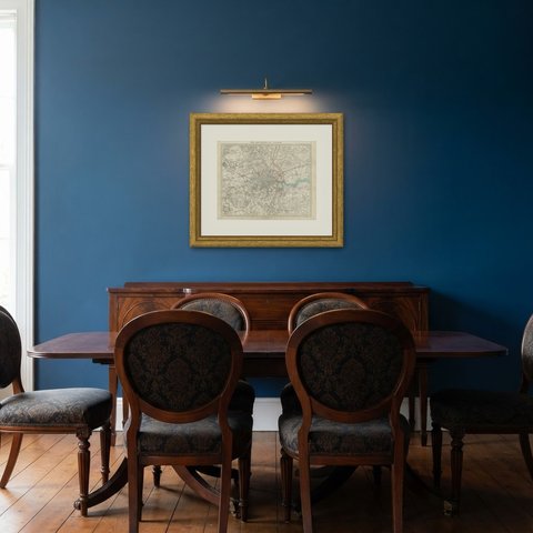
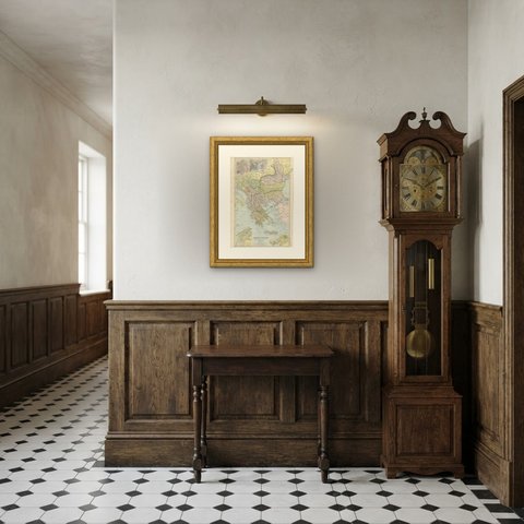
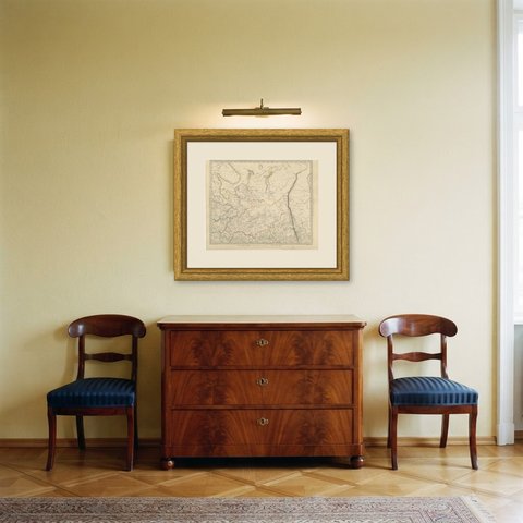
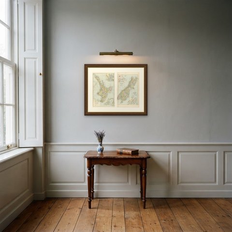
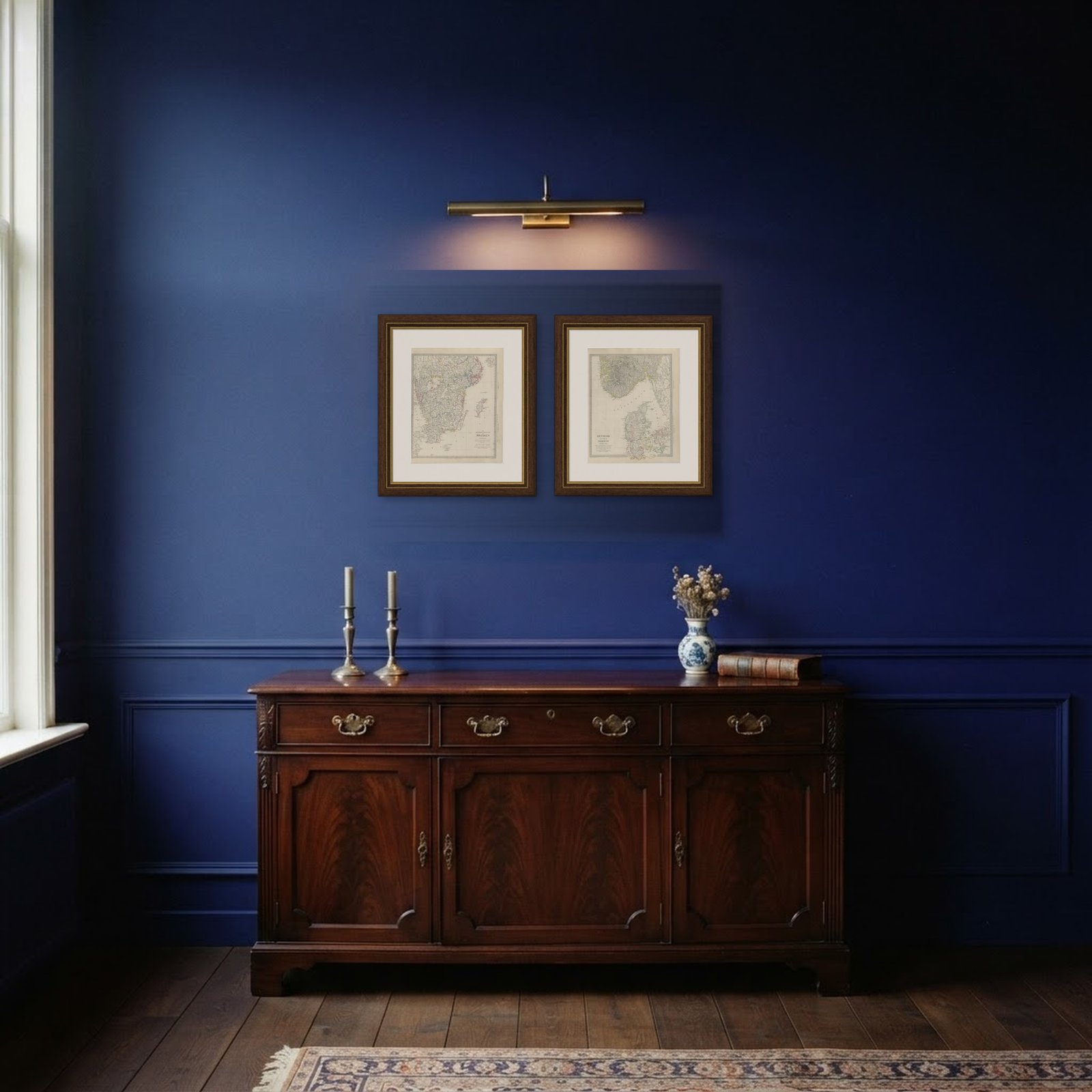
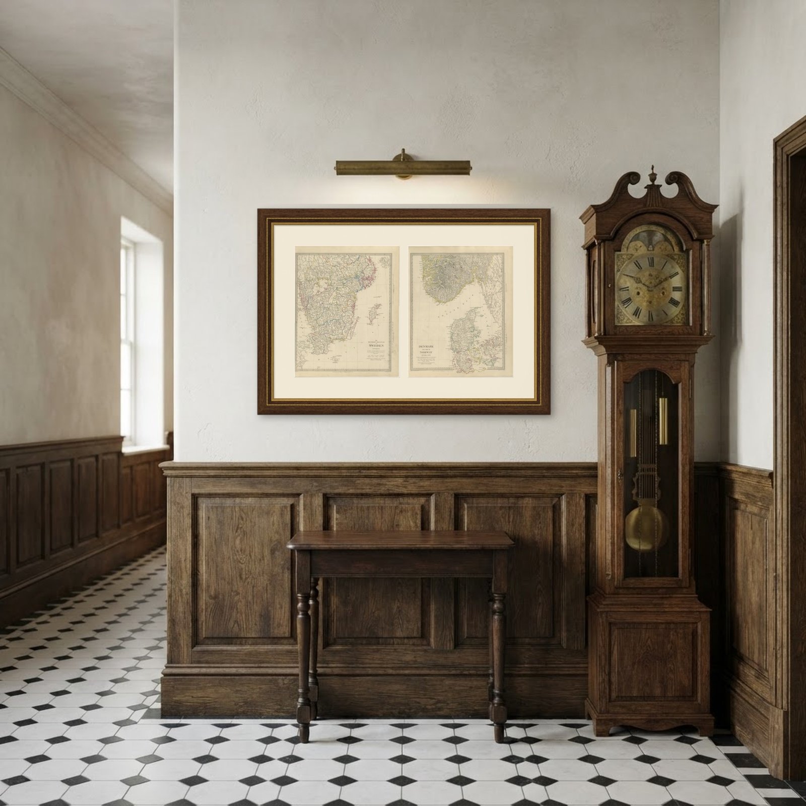 In the room 1
Interior designers: BarTrade members buy at their trade price. How it works
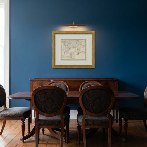
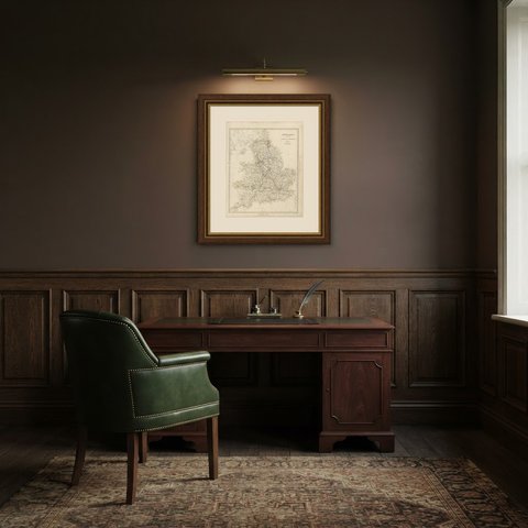
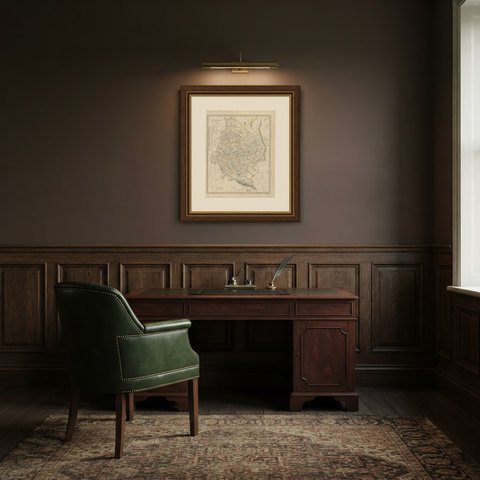
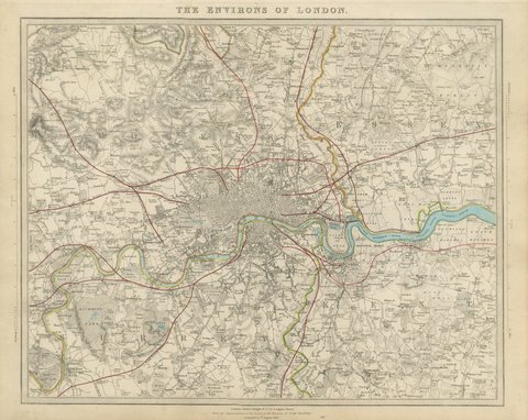
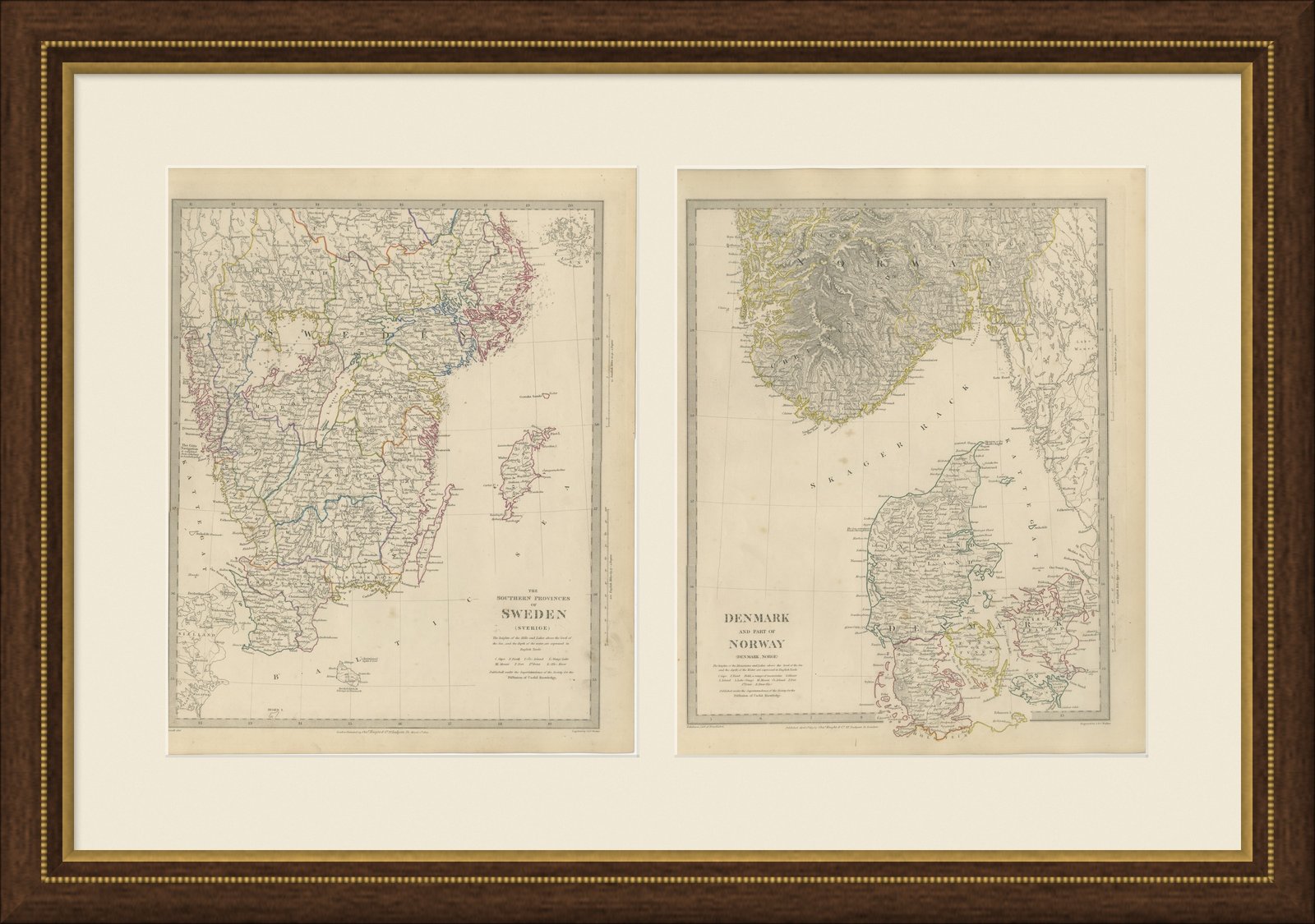
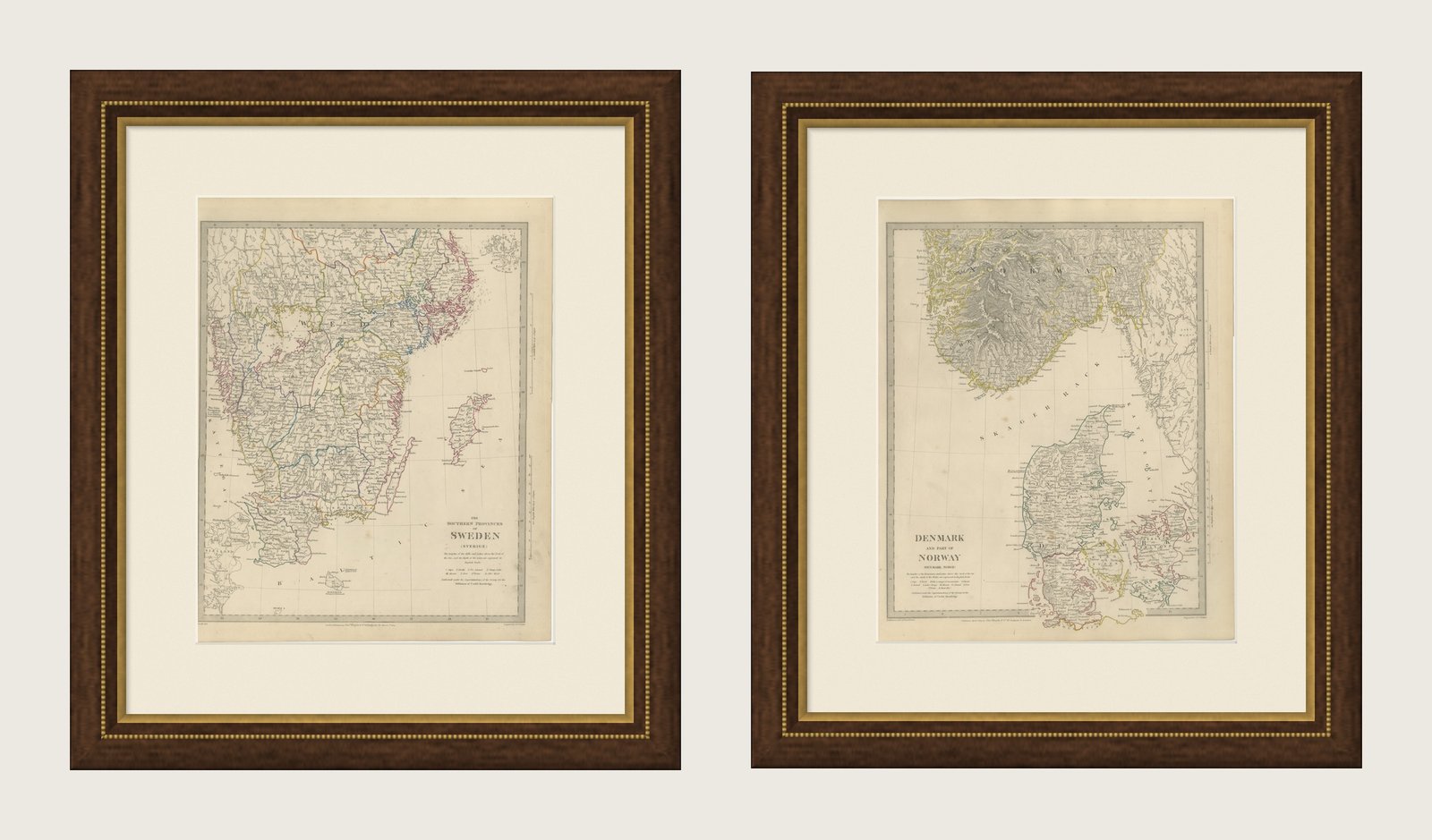
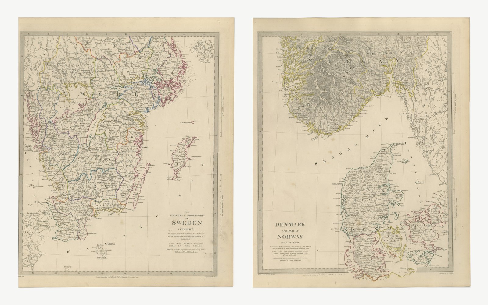
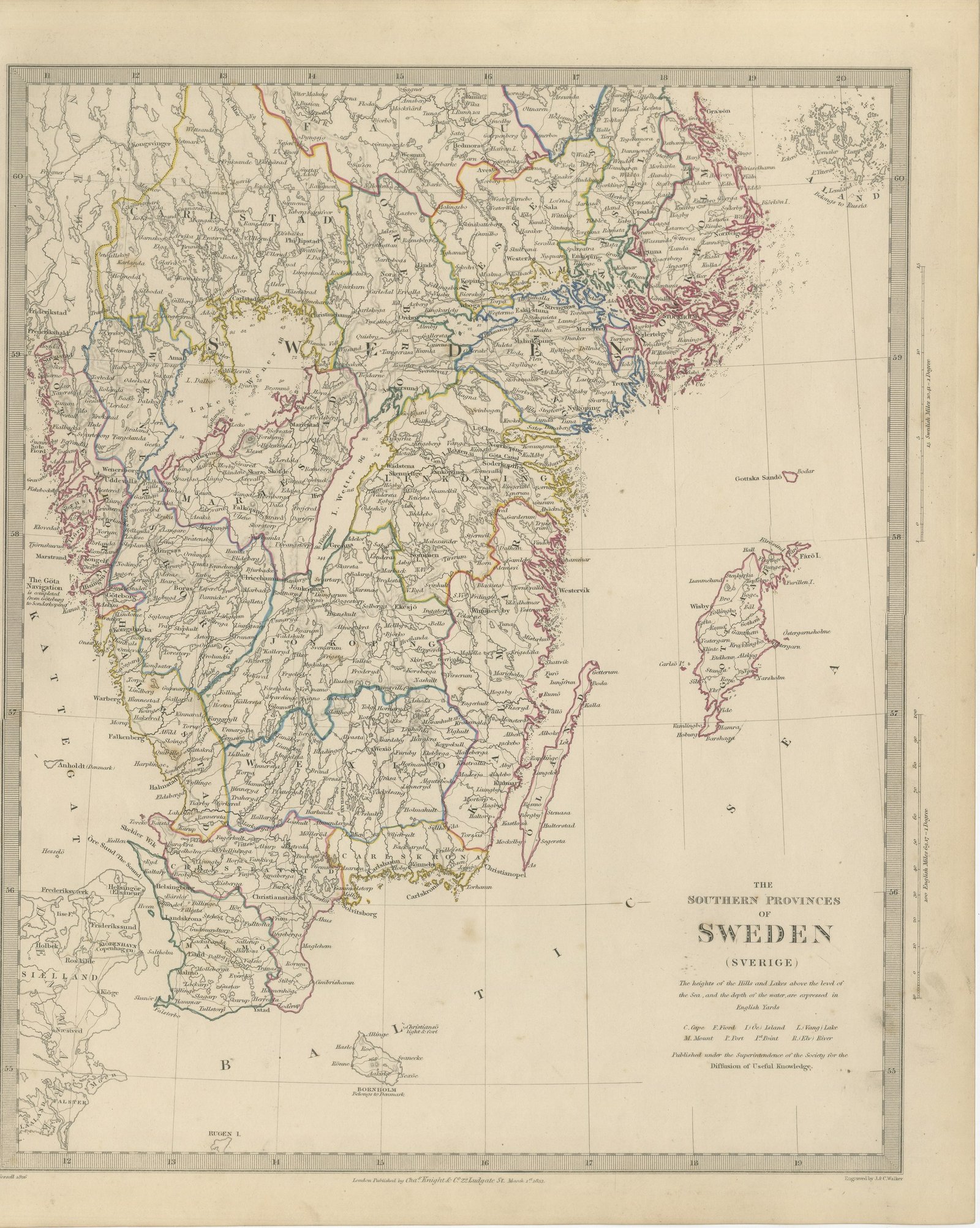
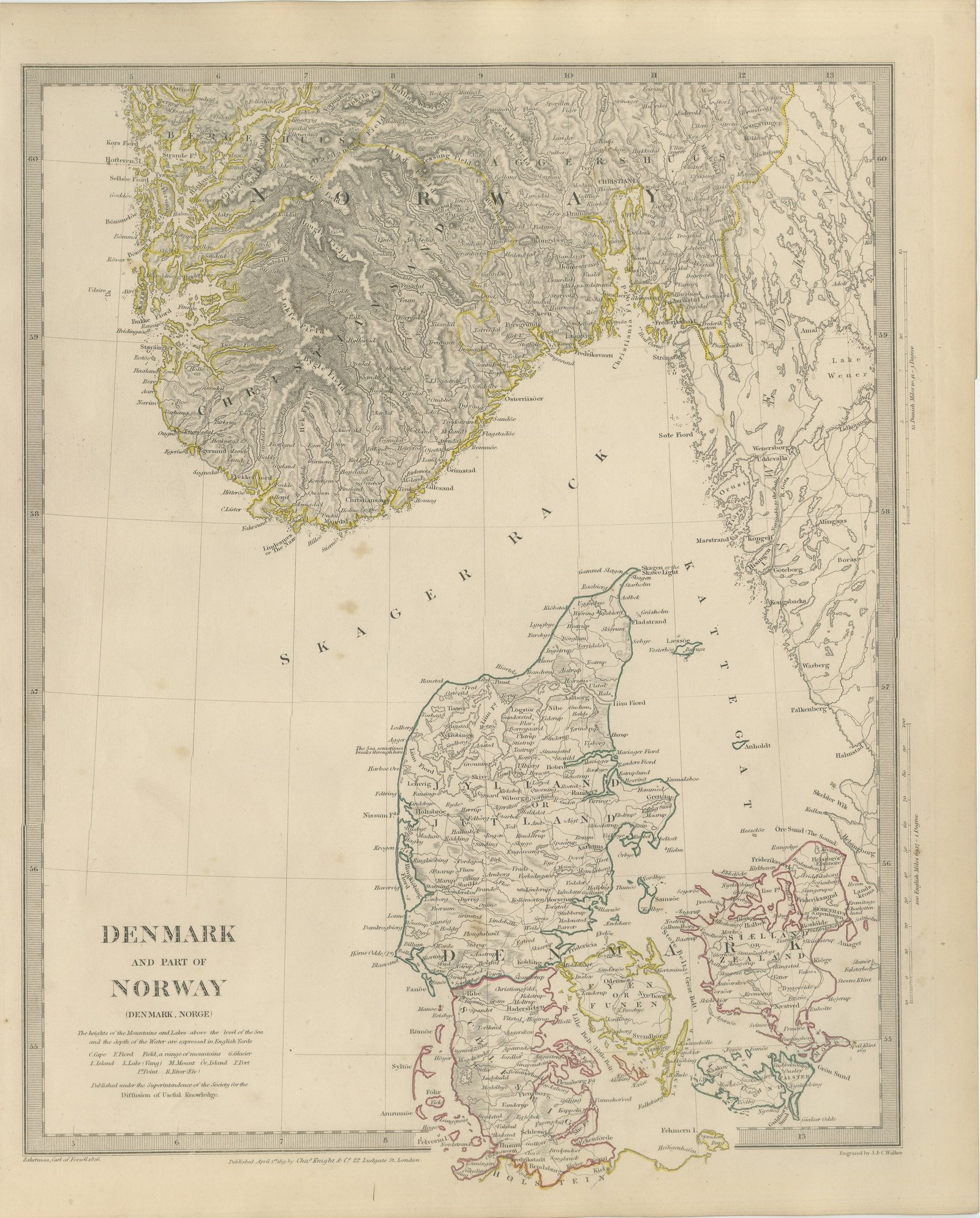
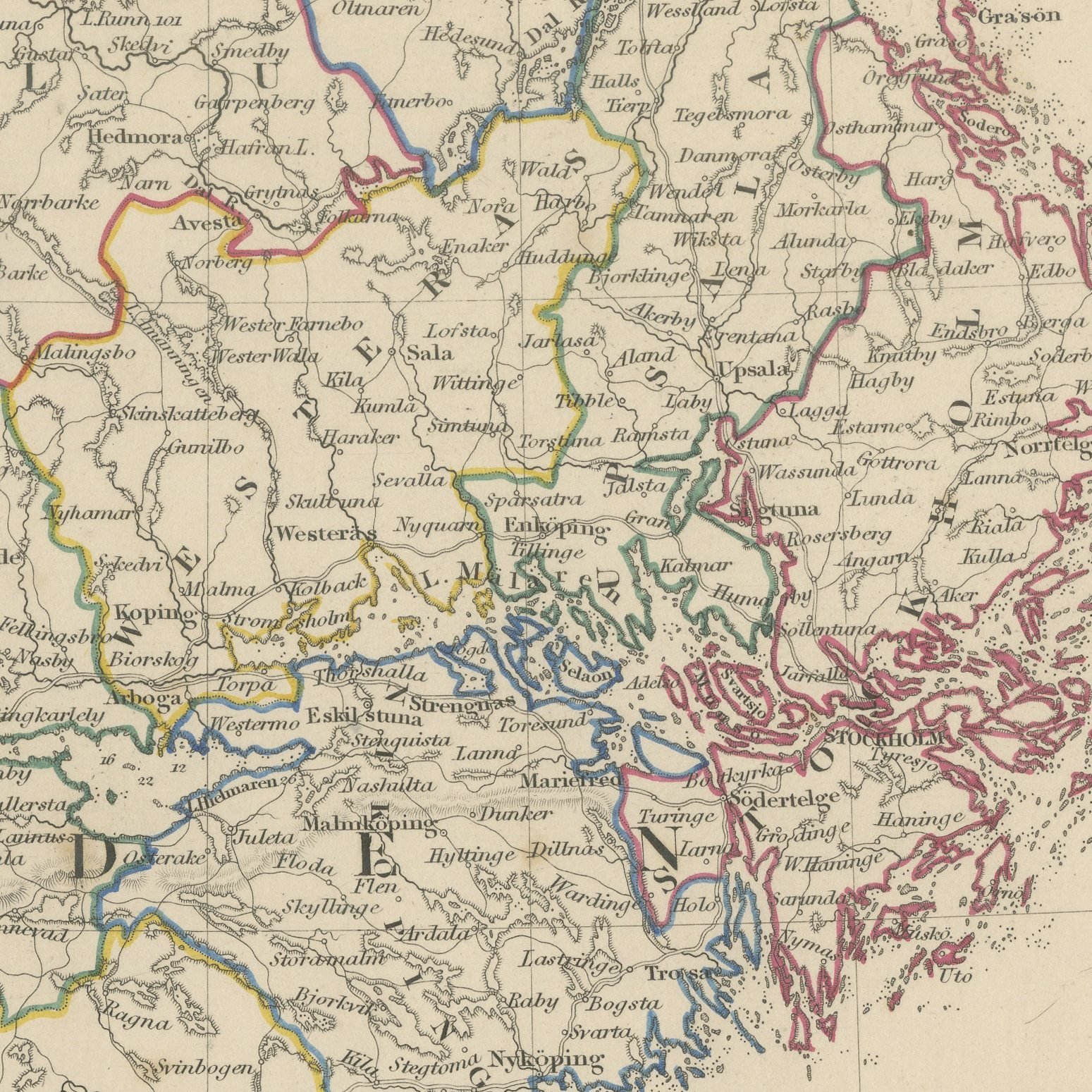
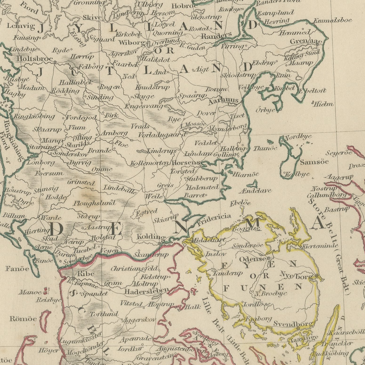
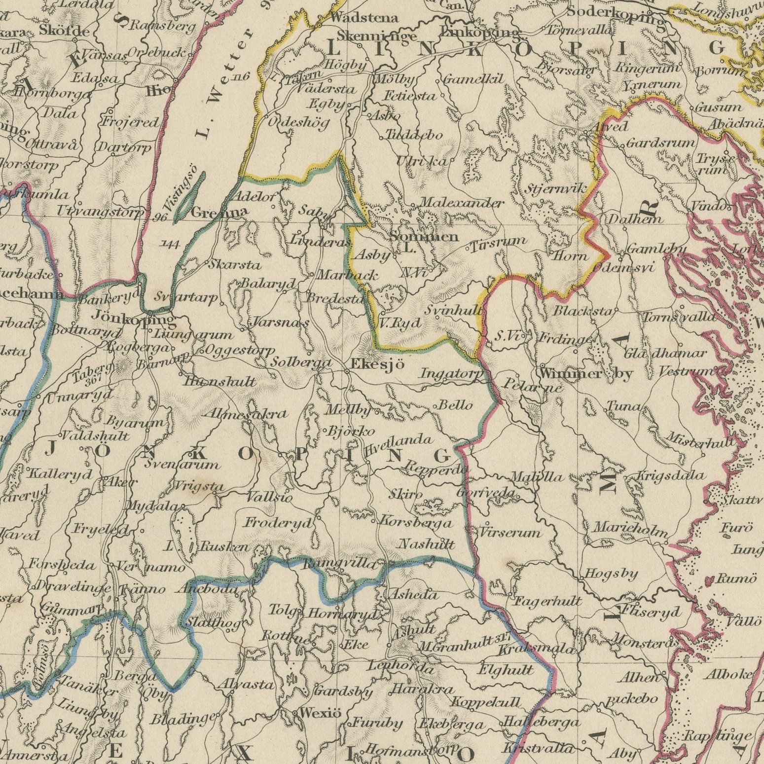
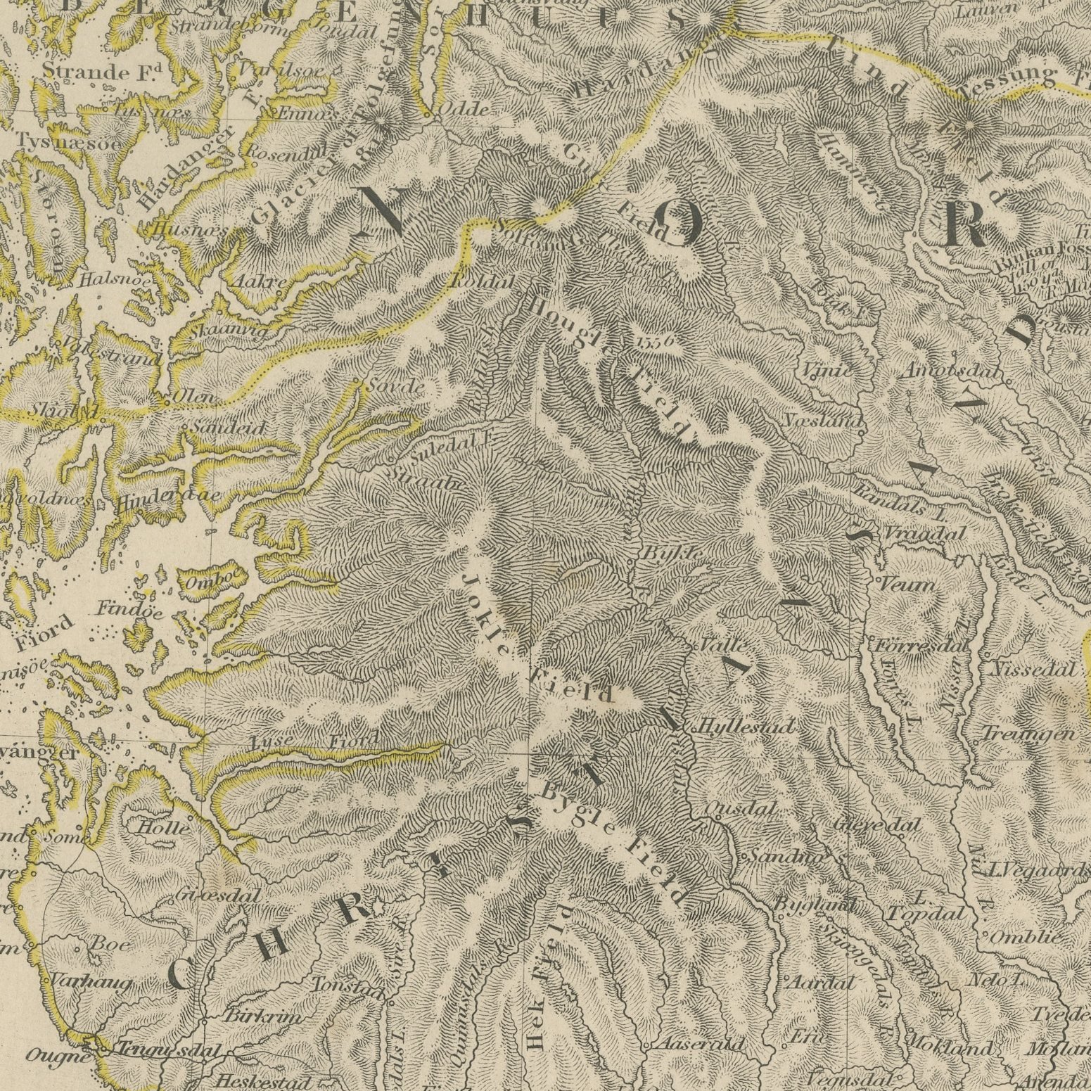
This is an original antique pair of maps covering the whole of southern Scandinavia, printed by the Society for the Diffusion of Useful Knowledge and offered together as one set. The Swedish sheet, dated March 1841, gives every province below Stockholm in hand applied color, with the great lakes of Vener and Vetter engraved with their depths, the islands of Oland and Gotland mapped in the Baltic, Gothenburg, Carlskrona, Lund and Malmo marked, and a note recording that the Gota navigation is completed from Gothenburg to Soderkoping. The Danish sheet, dated April 1839, gives Denmark complete, with the whole of Jutland from the Skaw to the Holstein border and the islands of Funen, Zealand, Laaland, Falster, Moen, Langeland and Samsoe mapped in detail, Copenhagen, Elsinore, Odense, Aarhus and Aalborg marked, and the Sound, the Great Belt and the Little Belt engraved with their depths. The southern Norwegian counties of Christiansand, Bratsberg and Aggershus run across the top of the Danish sheet with Christiania at the head of its fjord.
The sheets come from Maps of the Society for the Diffusion of Useful Knowledge, in the new edition corrected to the present time that Charles Knight and Company published at 22 Ludgate Street, London, in 1845, whose first volume covers Europe. The Society was founded in 1826 by Henry Brougham and his circle to publish useful knowledge at a low price. Its maps were issued in parts from 1829, first by Baldwin and Cradock, from 1842 by Chapman and Hall and then by Charles Knight, and the series grew to about two hundred maps. Most of them were engraved on steel by John and Charles Walker, and the outline color was applied by hand.
The sheets of this set belong to one map and are sold together.
Two sheets, both age toned. Foxing in the margins of all of them. Handling wear to the corners of all of them.
The set is two original sheets sold together, never split. These are original antique maps, not modern reproductions. This item is sold unframed.