 The sheet, as you receive it
 In the room

Interior designers: BarTrade members buy at their trade price. How it works
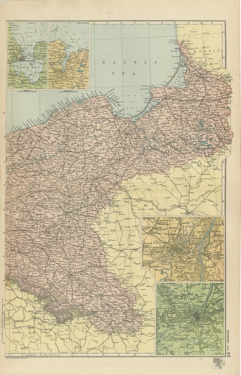
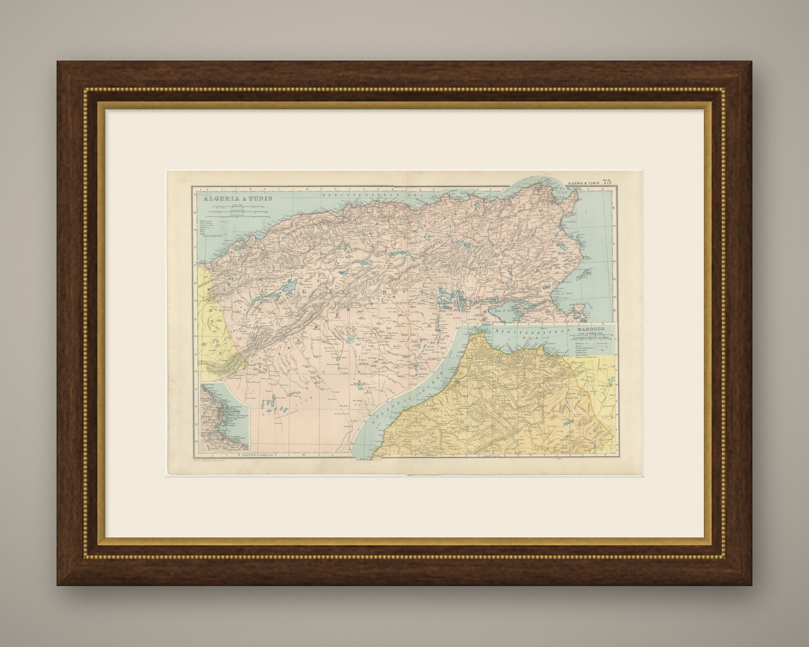
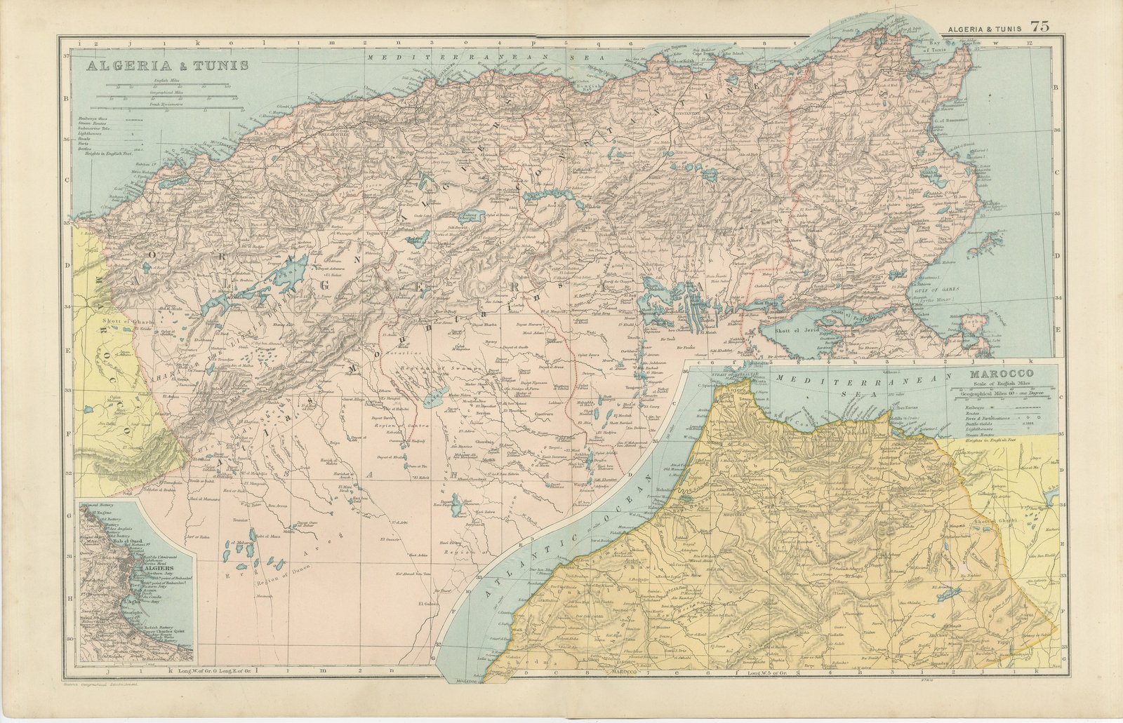
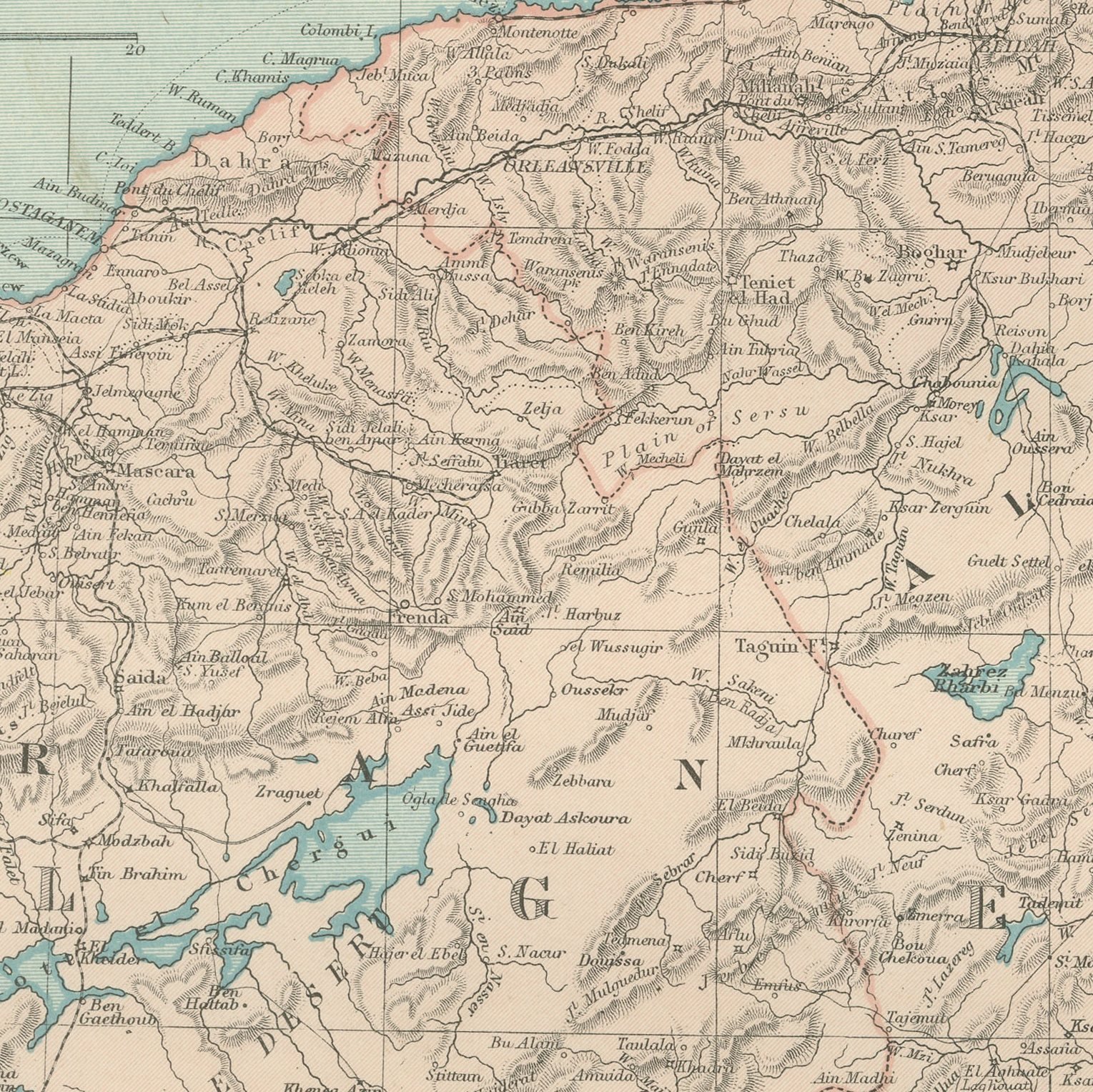
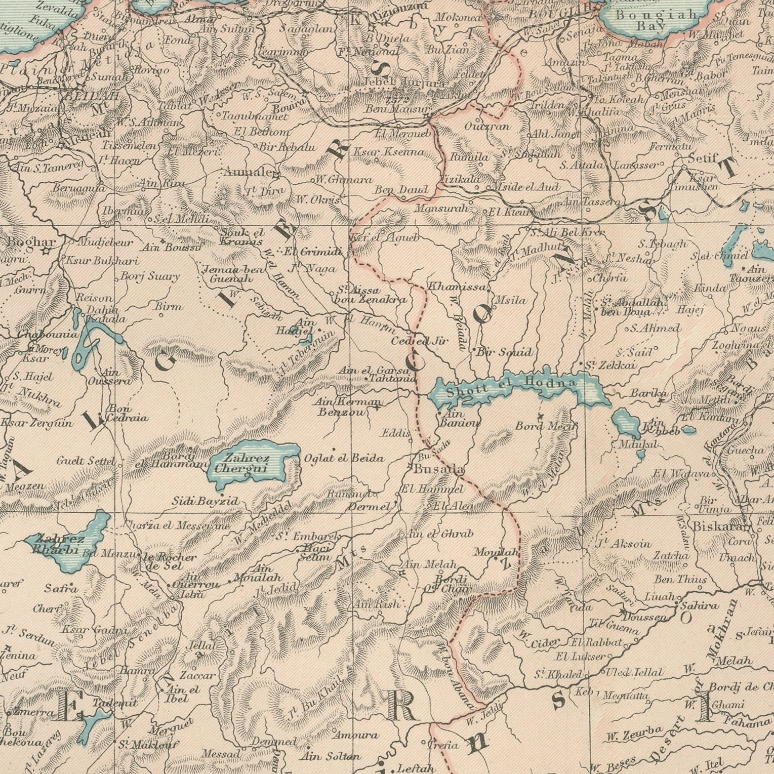
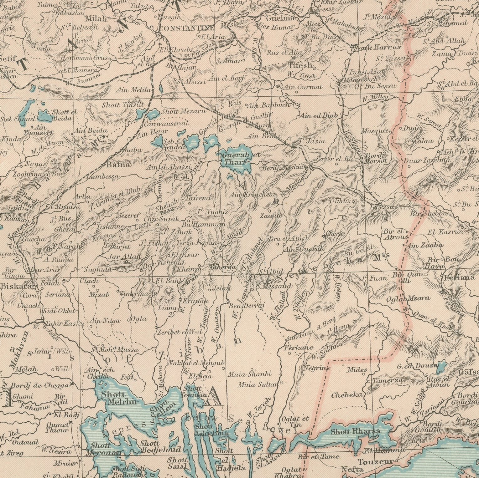
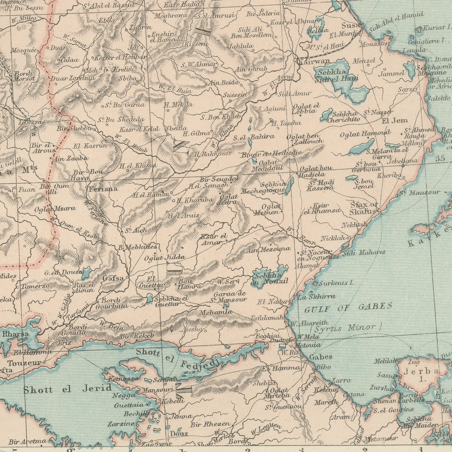
A large color printed antique map of Algeria and Tunis, published in London by G. W. Bacon in 1898 for his Commercial and Library Atlas of the World. The double page runs along the Barbary coast from the Moroccan frontier to the Gulf of Gabes, with the Tell Atlas and the Saharan Atlas shaded, the shotts drawn as salt lakes in the interior, and the French departments and military territories colored separately. Two insets give the Sultanate of Marocco and a plan of Algiers with its bay.
The plate belongs to the 1898 edition of Bacon's Commercial and Library Atlas of the World with Index-Gazetteer, edited by G. W. Bacon of 127 Strand, London. Printed and colored at Bacon's Geographical Establishment, the atlas set out one hundred double page maps and one hundred inset maps, and its purpose was practical: it recorded the political world as the Victorians left it, a year after the Diamond Jubilee and a year before the South African War.
French Algeria was a settled colony by 1898, with vineyards, railways and European place names laid over the older geography, and the map shows both layers at once. Tunis had been a protectorate for seventeen years. Morocco, in the inset, was still an independent sultanate and would remain so until 1912, which gives the sheet a clear place in the history of North Africa. The Roman sites of the interior are marked among the modern towns.
Light overall age toning, with the paper darker along the top edge. The printed image itself is clean.
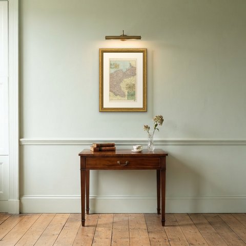
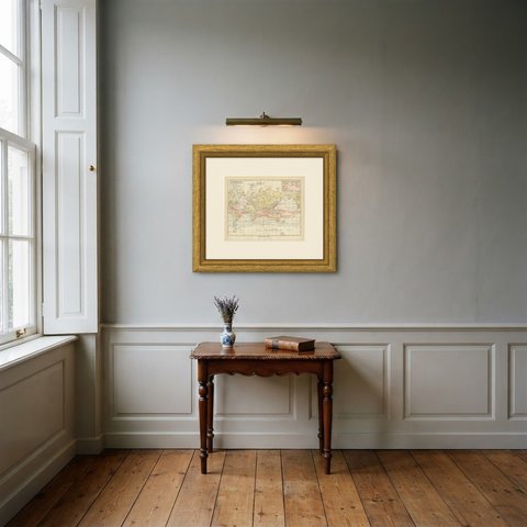
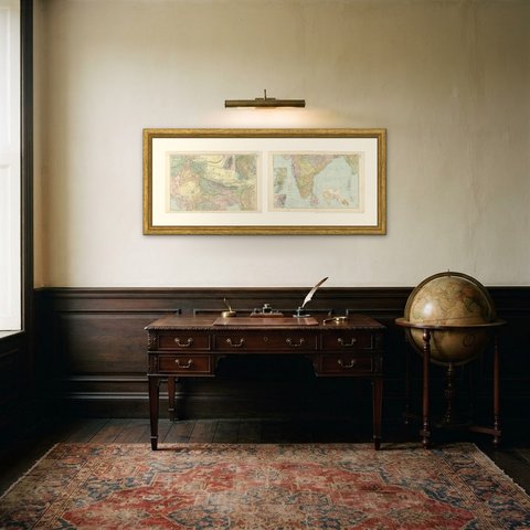
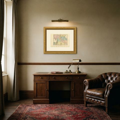
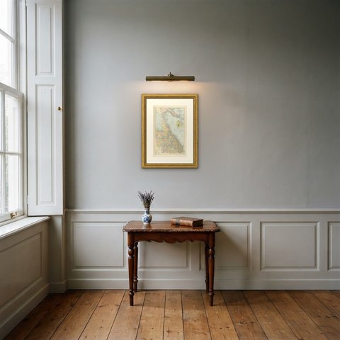
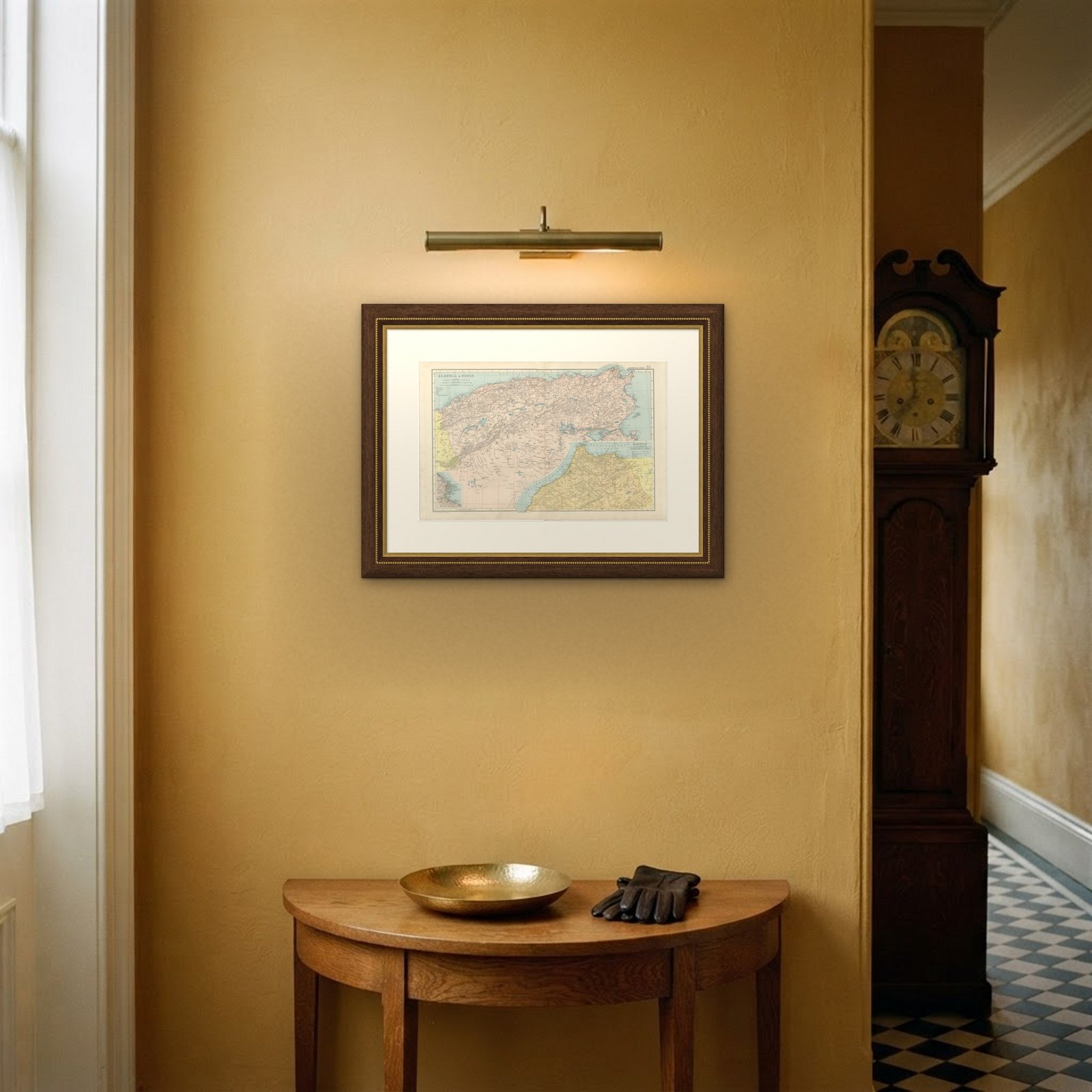
A map like this rewards close looking, so hang it where people pass near it: a hall, a landing, a study or a meeting room. The printed color is soft and the lettering fine, and it sits comfortably beside both antique and modern furniture. This is an original antique map, not a modern reproduction. This item is sold unframed.