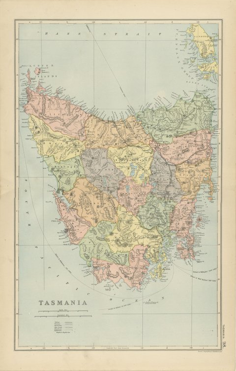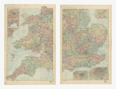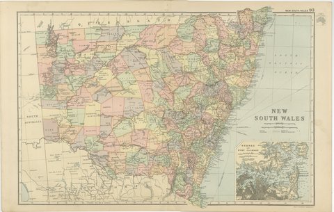
 The sheet, as you receive it
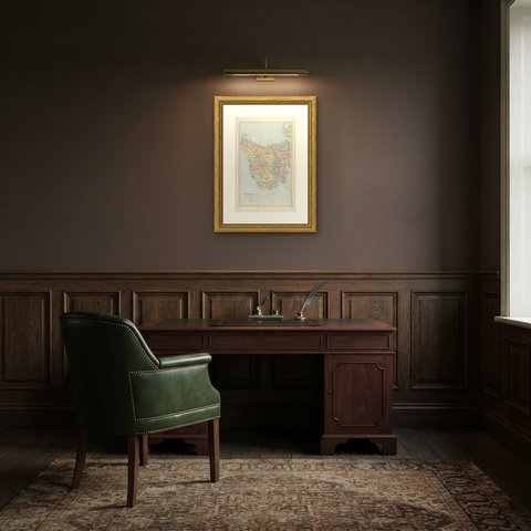
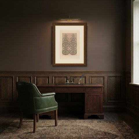
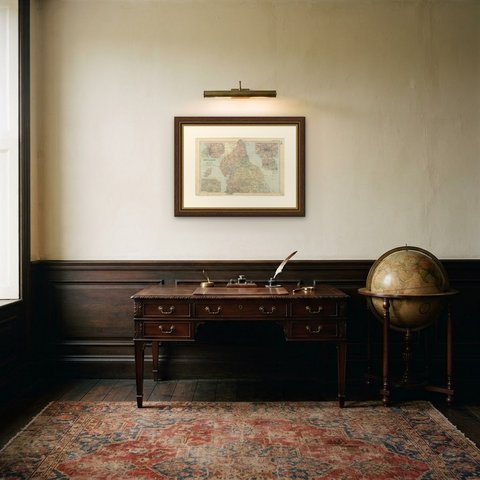
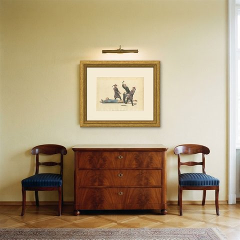
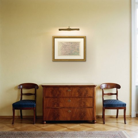
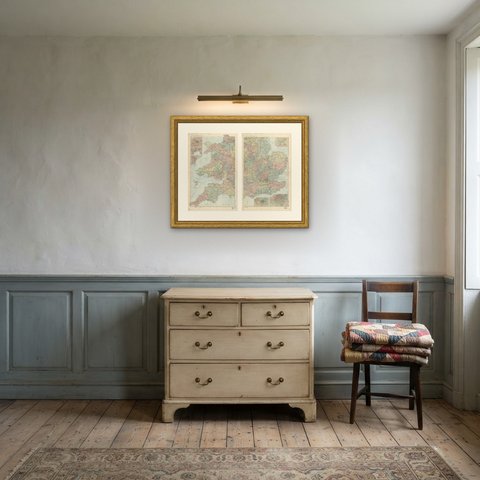
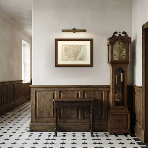
 In the room
Interior designers: BarTrade members buy at their trade price. How it works
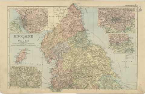
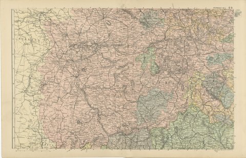
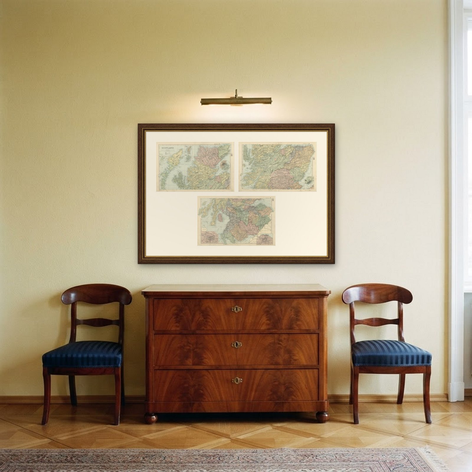
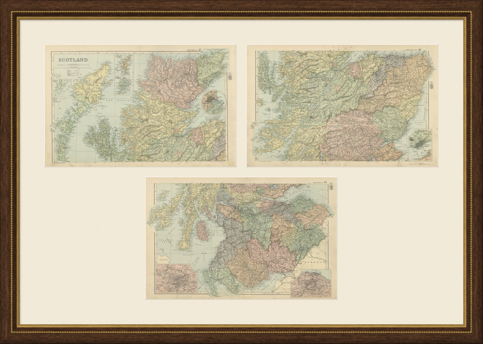
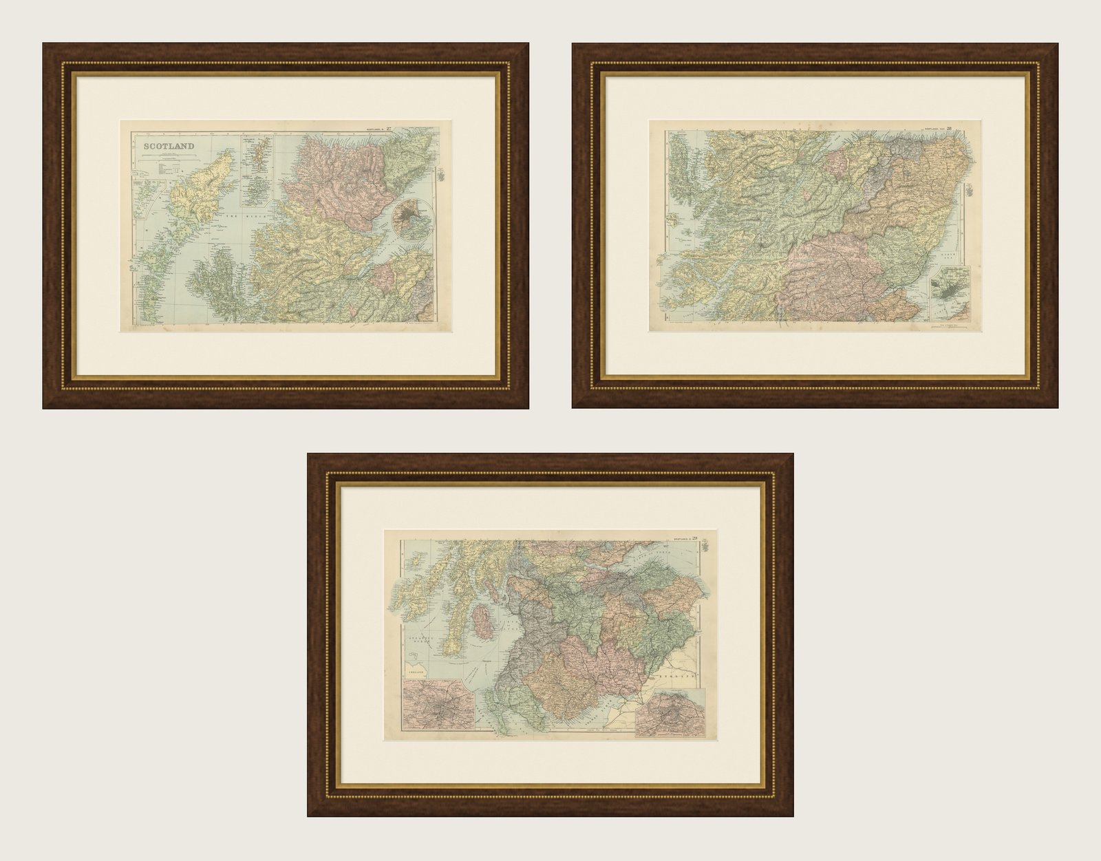
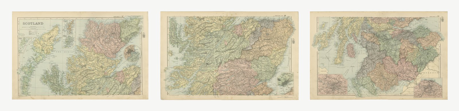
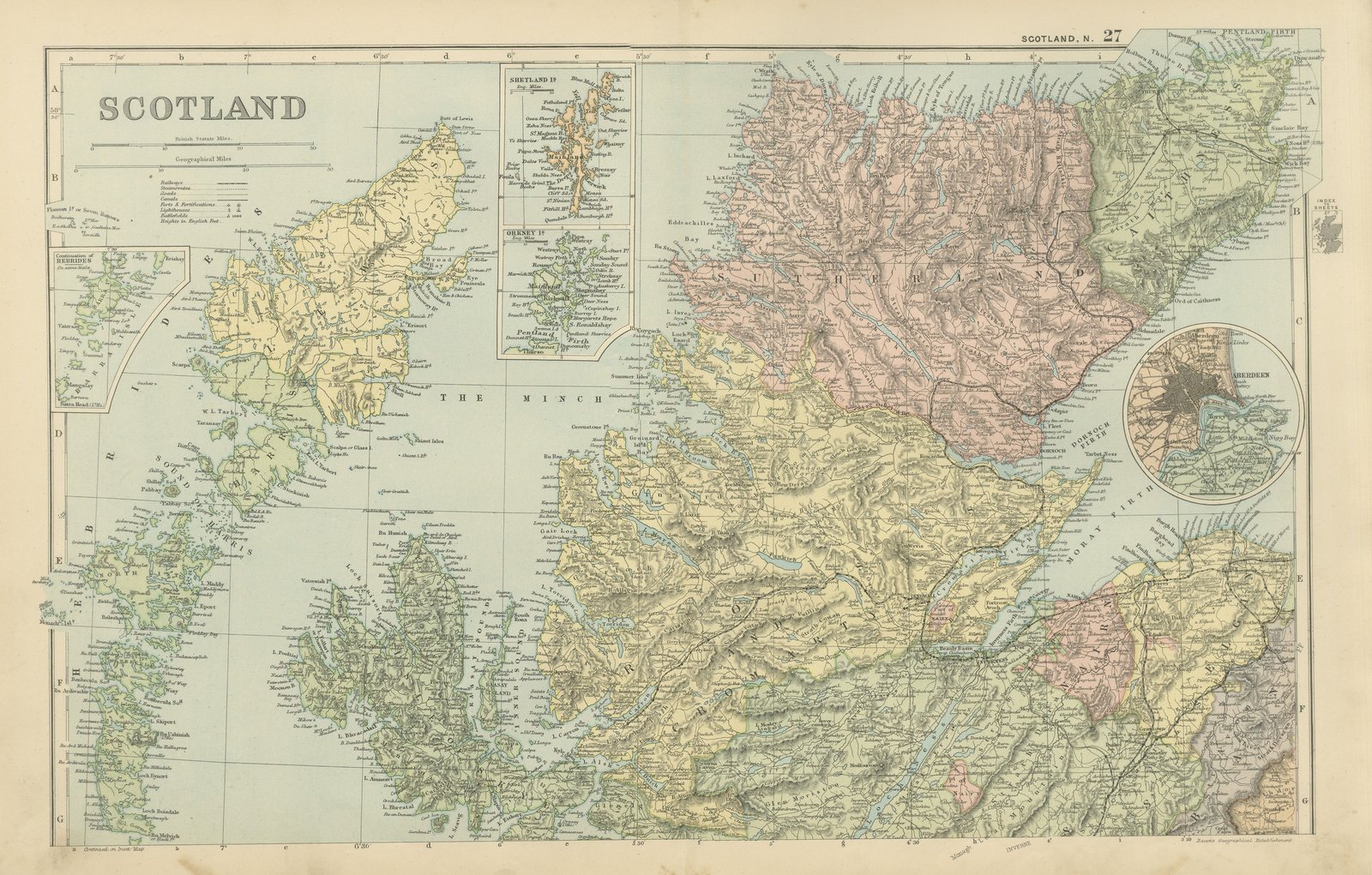
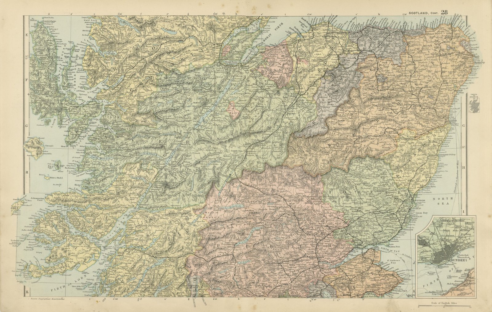
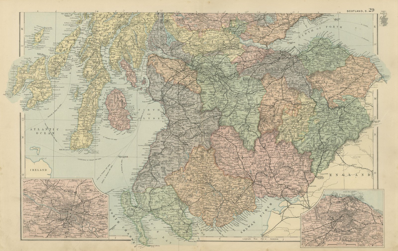
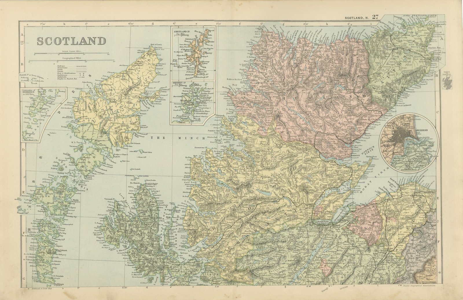
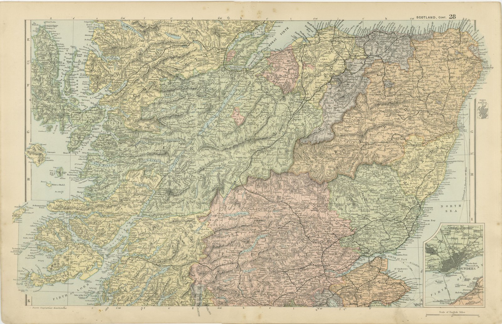
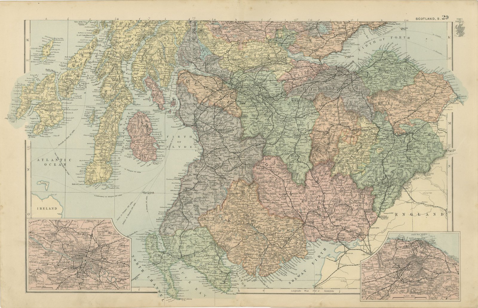
A set of three original antique maps that join to form the whole of Scotland, color printed in London in 1898 for G. W. Bacon's Commercial and Library Atlas of the World. The northern sheet carries the Highlands from Cape Wrath to the Great Glen, with inset maps of the Shetland Islands, the Orkney Islands, the Outer Hebrides and a plan of Aberdeen. The central sheet covers Perthshire, Angus, Fife and Argyll with an inset of Dundee. The southern sheet runs from the Forth and the Clyde to the English border, with plans of Glasgow and Edinburgh. Every county is separately colored and the railways are drawn throughout. These are three original sheets sold together as one set and are not offered separately.
The sheet comes from the Commercial and Library Atlas of the World with Index-Gazetteer, edited by George Washington Bacon, Fellow of the Royal Geographical Society, and published in London by G. W. Bacon and Company, Limited, of 127 Strand, in 1898. The atlas gathered one hundred double page maps and one hundred inset maps with an alphabetical index of fifty thousand places and a gazetteer of two thousand towns, and it was sold to merchants, shipping houses and subscription libraries that needed the world kept current rather than kept beautiful.
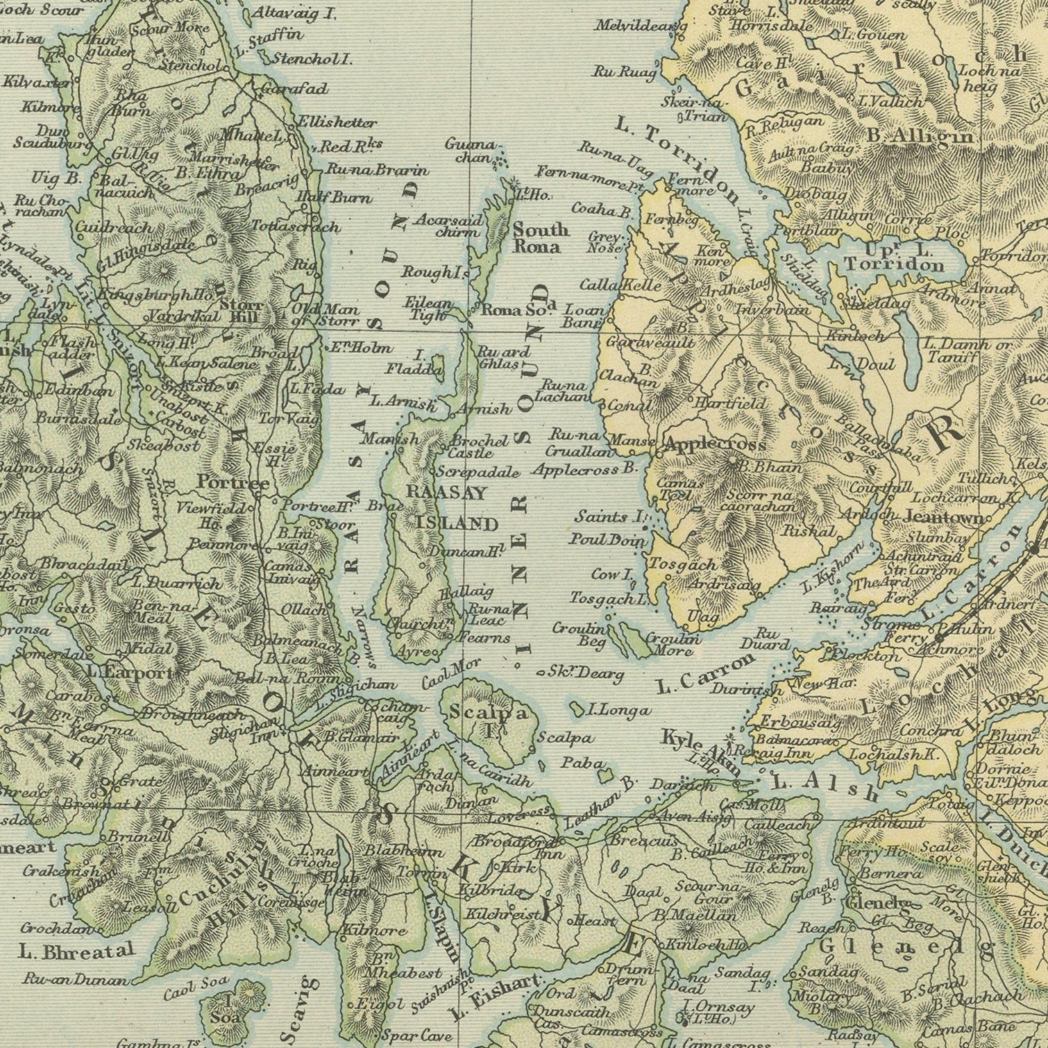
Three sheets hung together make a map of Scotland about a meter and a half across, which is the reason to keep them as a set: separately they are fragments, and the northern sheet in particular is mostly empty mountain. Together they name every parish, island and station in the country at the end of the Victorian period, when the Highland and the Caledonian railways had just finished pushing lines to the west coast. The island insets are unusually generous for a commercial atlas, and the two city plans show Glasgow at its industrial peak and Edinburgh before the twentieth century suburbs.
Three sheets, all age toned. The paper darker along the edges of all of them. The printed images are clean.
A map like this rewards close looking, so hang it where people pass near it: a hall, a landing, a study or a meeting room. The printed color is soft and the lettering fine, and it sits comfortably beside both antique and modern furniture. These are original antique maps, not modern reproductions. This item is sold unframed.