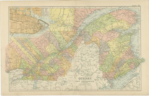
 The sheet, as you receive it
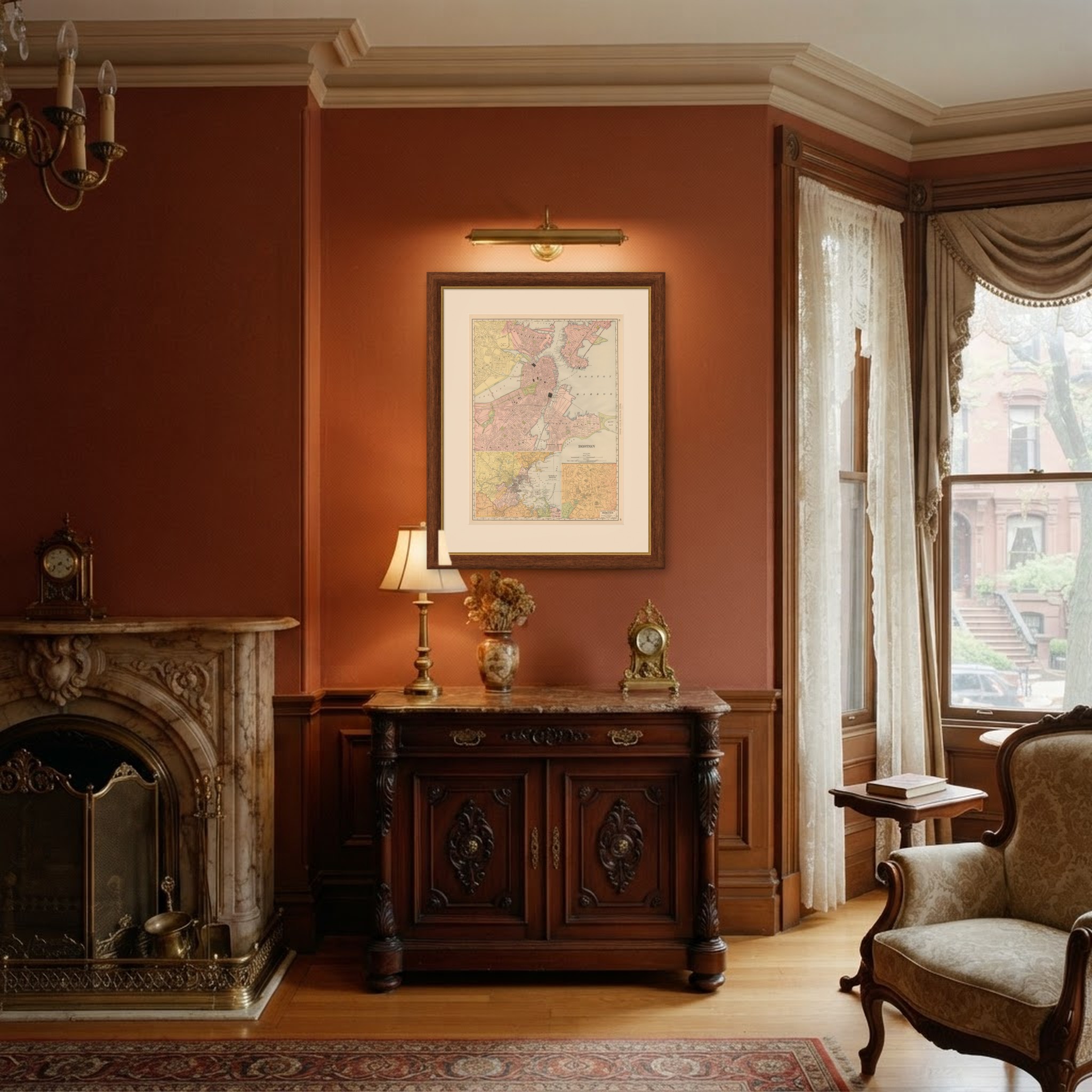
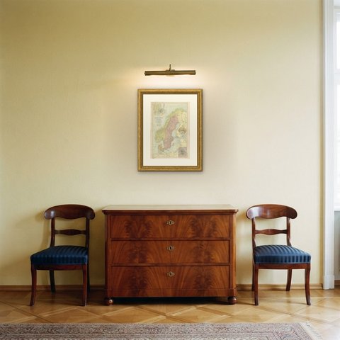
 In the room

Interior designers: BarTrade members buy at their trade price. How it works
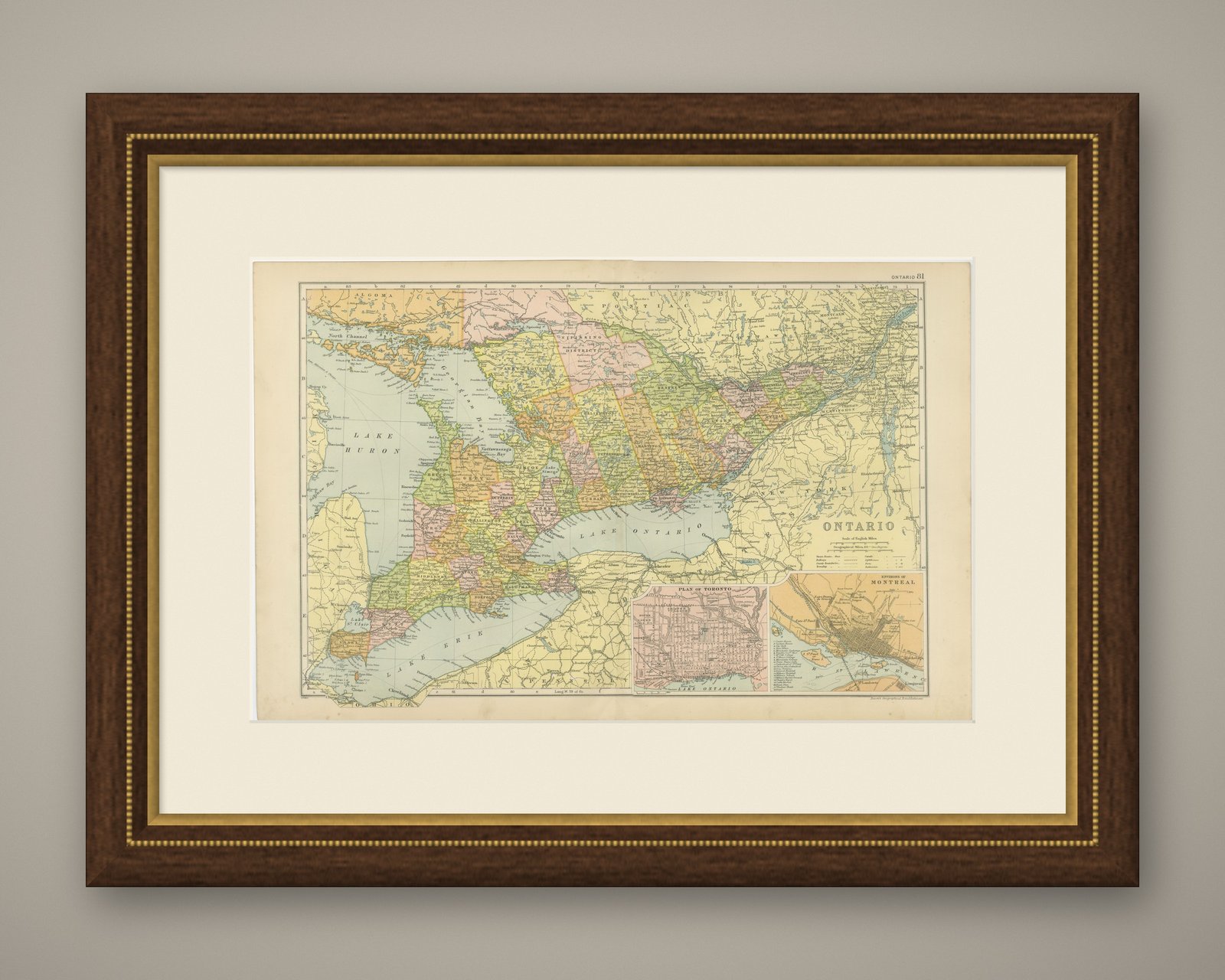
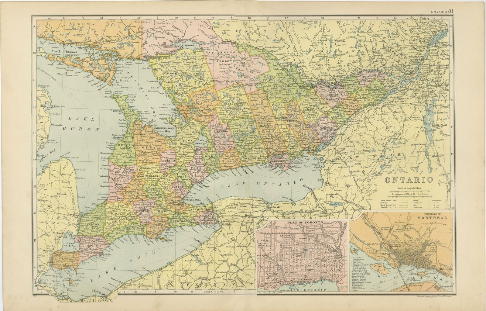
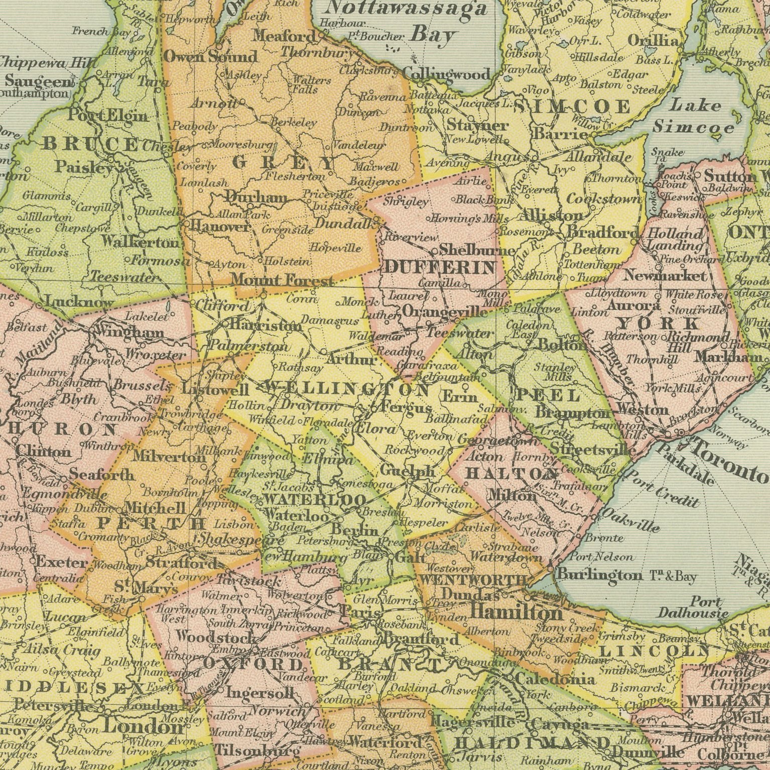
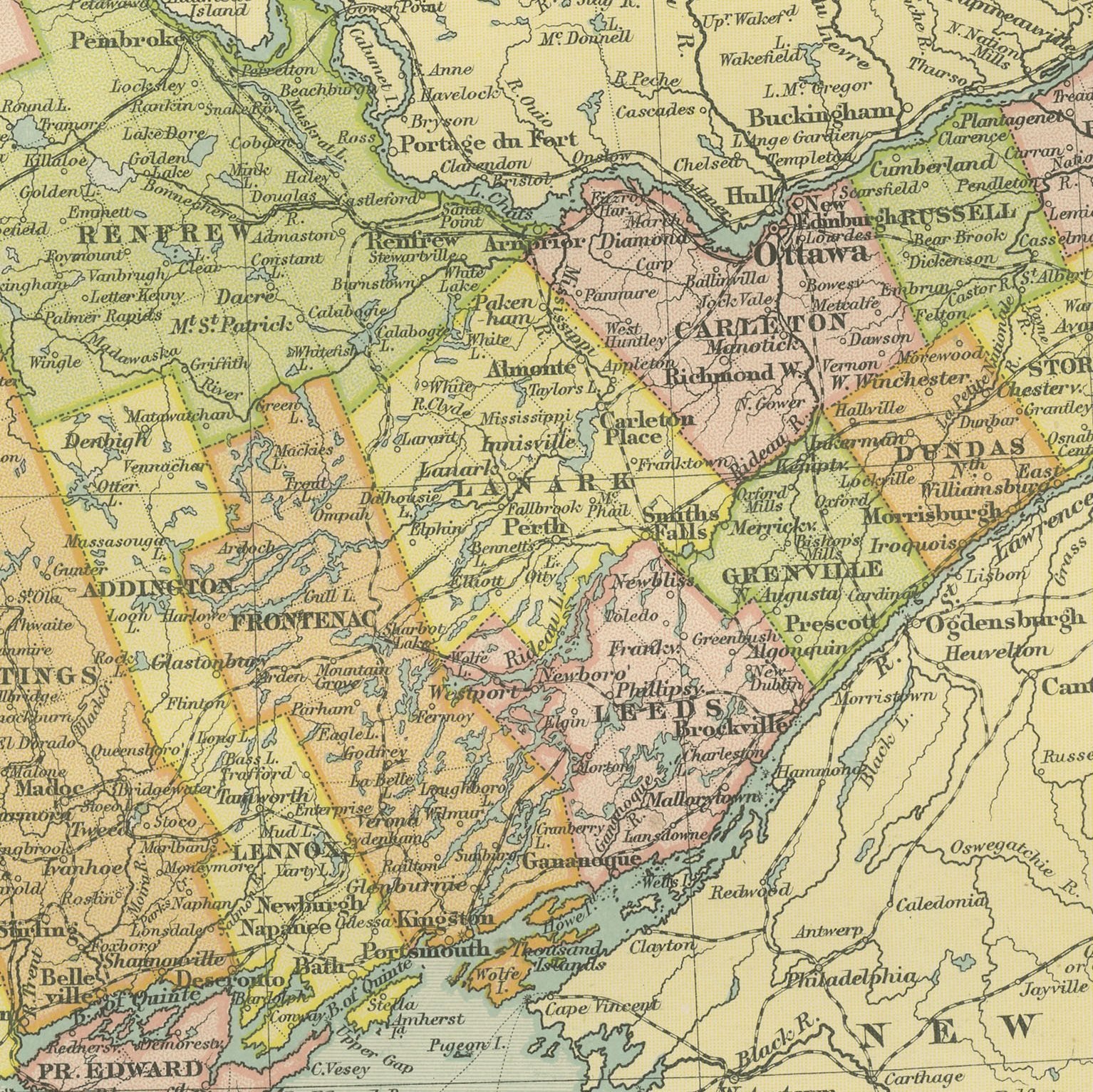
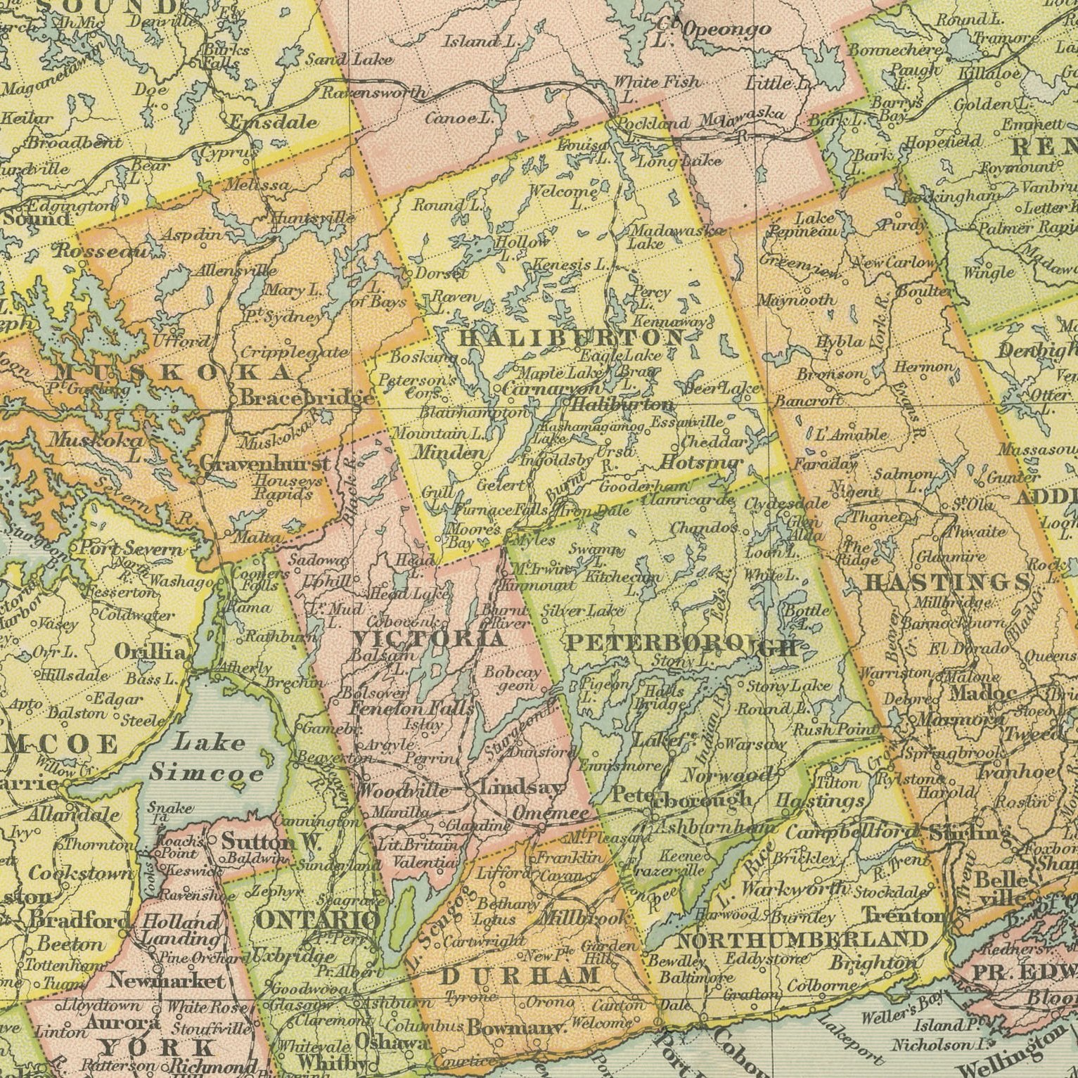
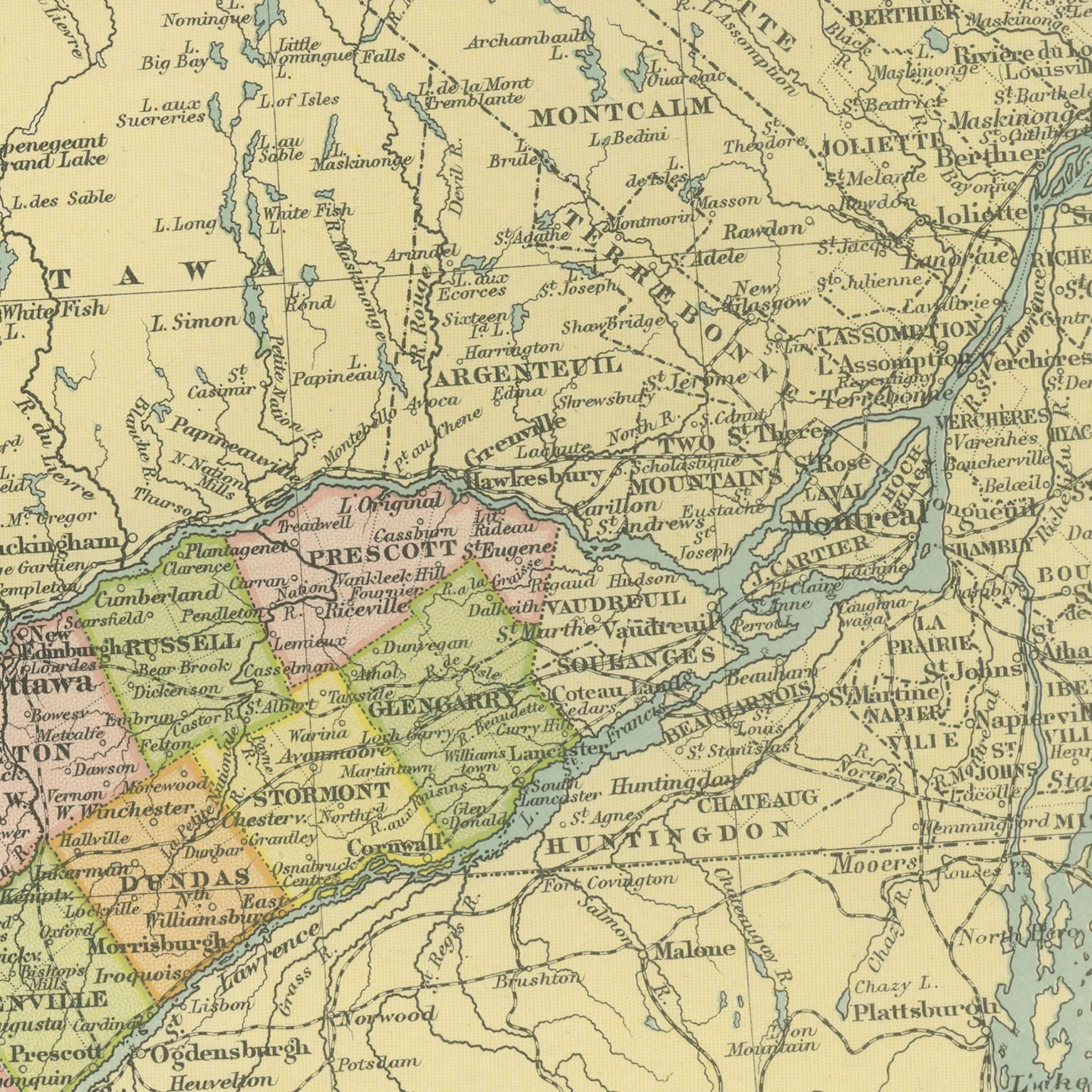
A large color printed antique map of Ontario, published in London by G. W. Bacon in 1898 for his Commercial and Library Atlas of the World. The province runs across the double page from Lake Huron and the Georgian Bay to the Saint Lawrence at Montreal, every county separately colored and named, with the lake shores of Erie and Ontario drawn in detail and the railway lines marked through to Detroit and Buffalo. Two insets give a street plan of Toronto and the environs of Montreal.
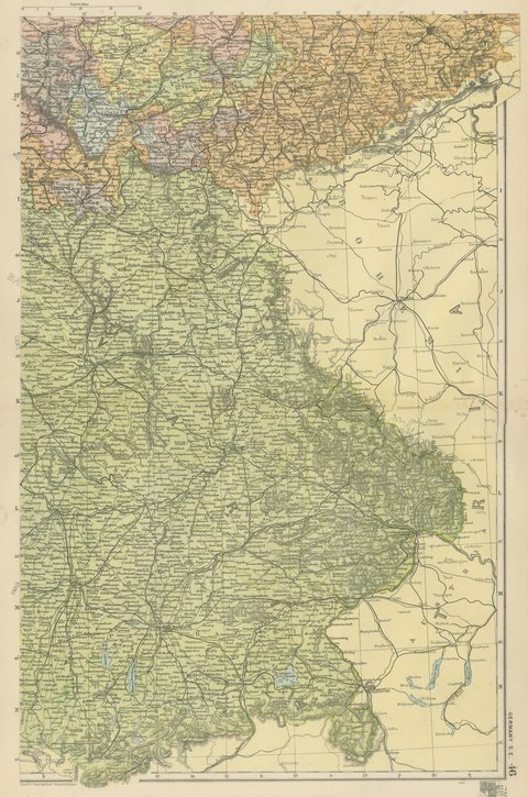
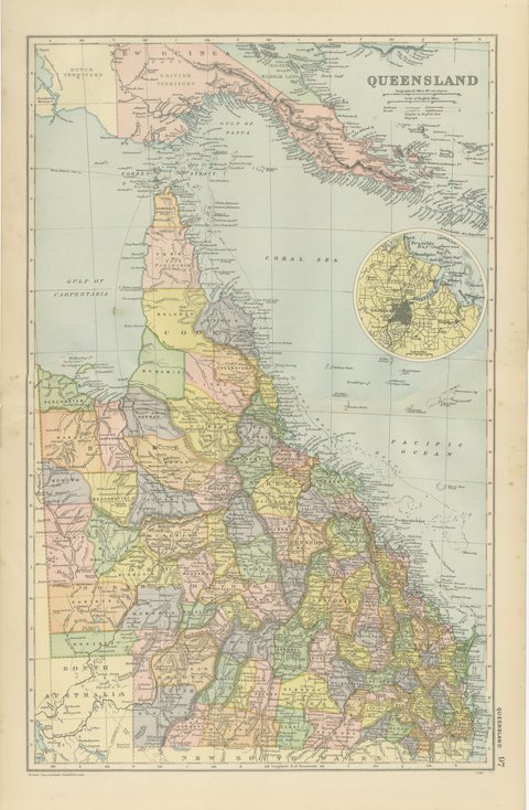
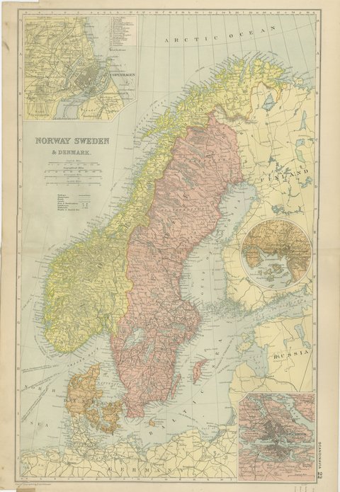
The sheet was printed for the Commercial and Library Atlas of the World, the reference atlas G. W. Bacon and Company, Limited published from the Strand in London in 1898. Bacon edited it himself, and his Geographical Establishment drew, printed and colored every plate. One hundred double page maps and one hundred insets covered the whole of the known world, with the railway and steamship lines that were then remaking it marked throughout.
The county map of southern Ontario is a genealogical document as much as a geographical one, because the counties named here are the units in which Canadian records were kept, and the map names the townships and villages that went with them. The Toronto plan shows the city before the lakefront was filled, with the Queen's Park and the harbor as they then were. It is an easy sheet to place with any Canadian buyer.
Moderate overall age toning, with the paper darker along the top edge, a few handling marks in the margins and light handling wear at the top right and bottom left corners. The printed image itself is clean.
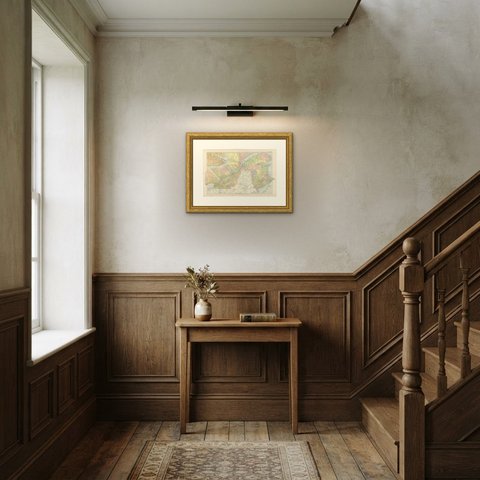
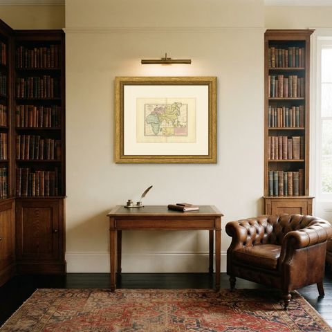
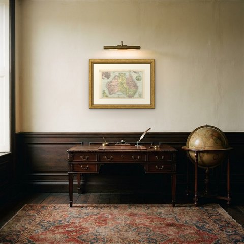
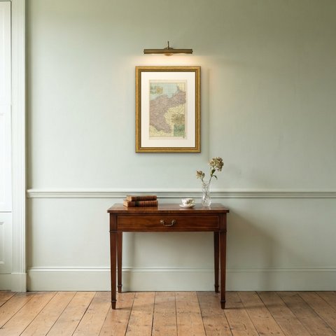
The sheet is large enough to carry a chimney breast or a stairwell and quiet enough in color to sit with books and furniture rather than compete with them. Collectors of Victorian cartography, interior designers and anyone with a tie to the region will find a use for it. This is an original antique map, not a modern reproduction. This item is sold unframed.