 The sheet, as you receive it
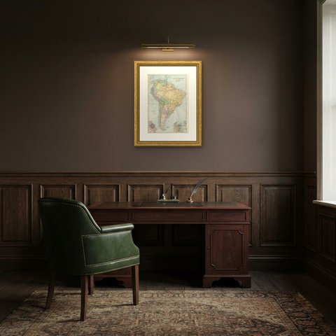
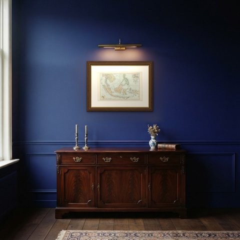
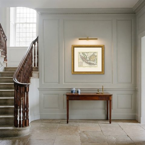
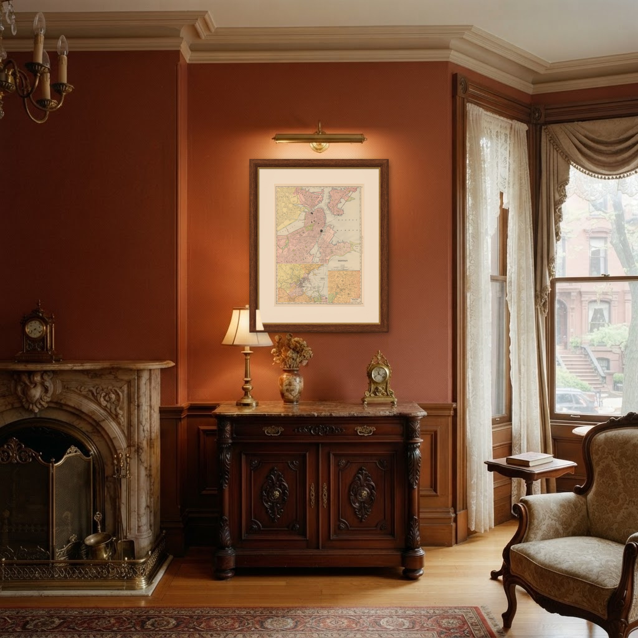
 In the room
Interior designers: BarTrade members buy at their trade price. How it works
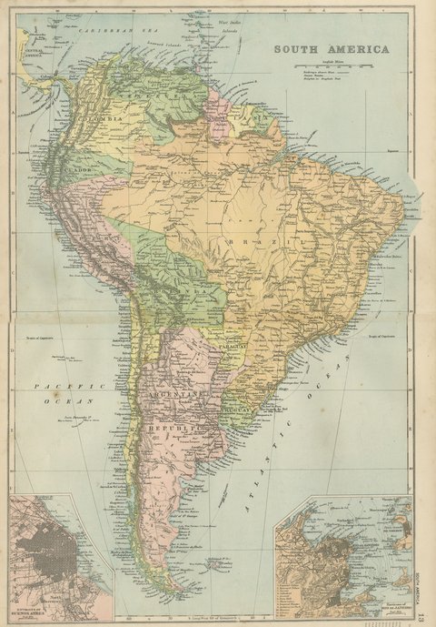
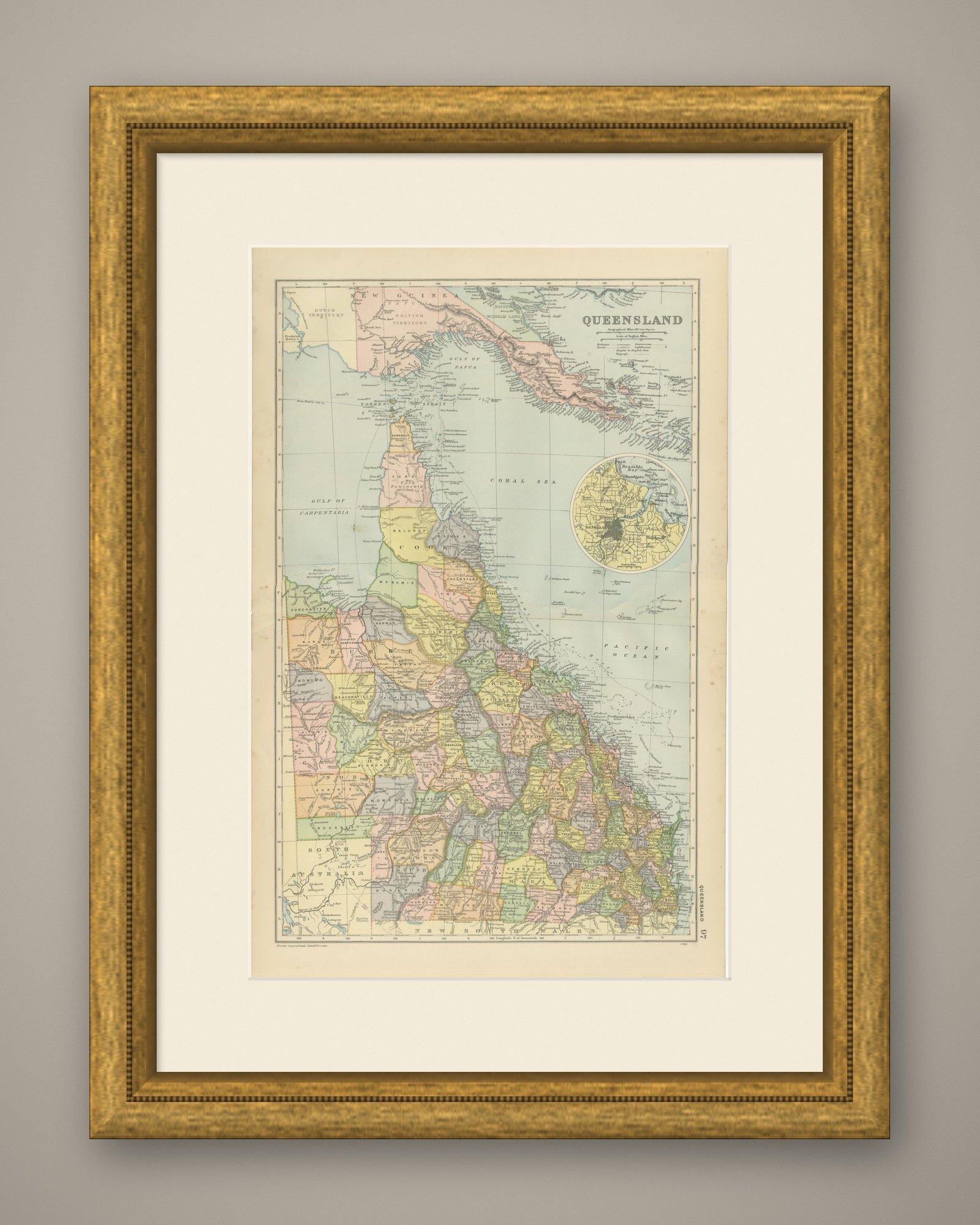
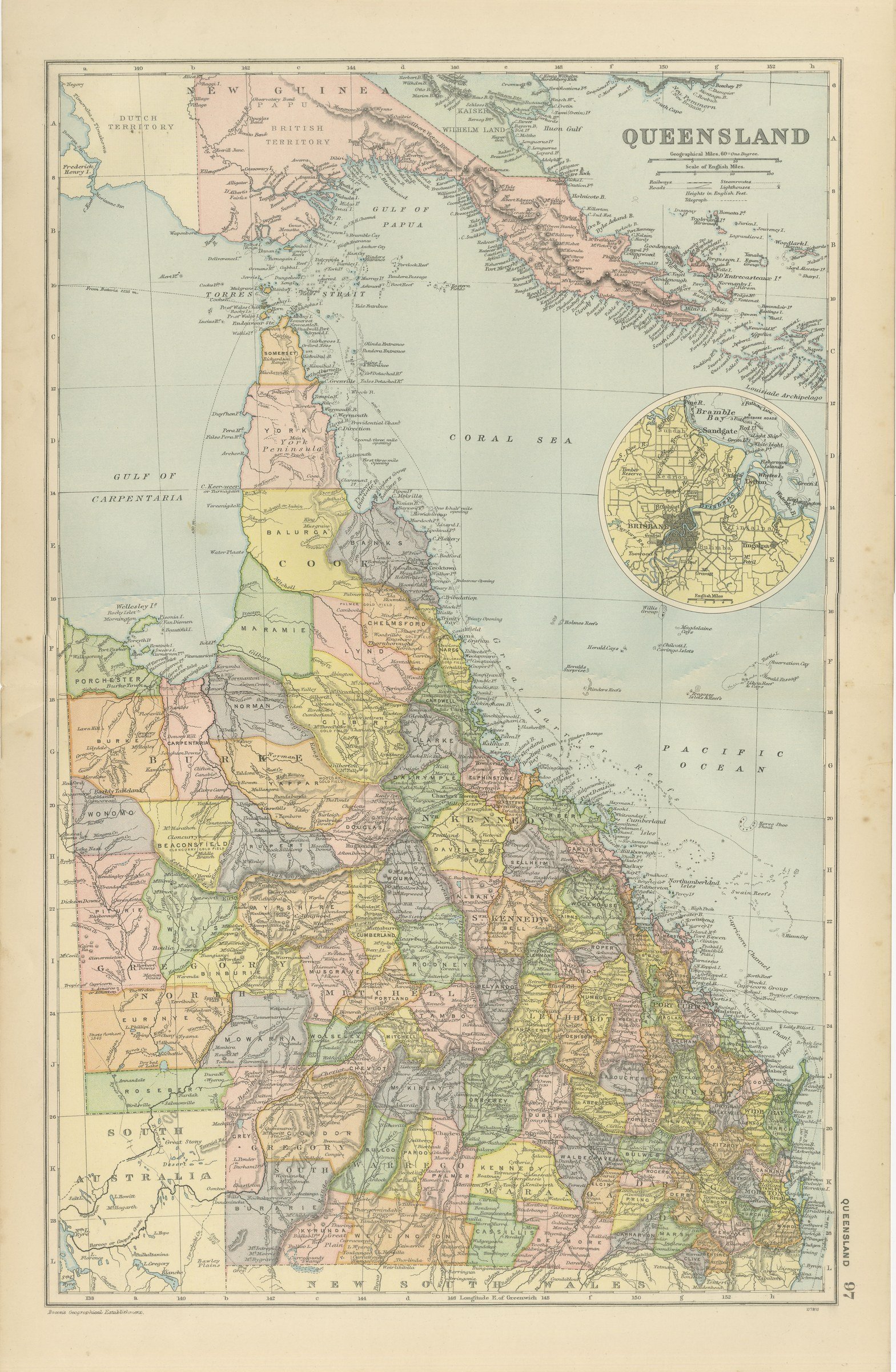
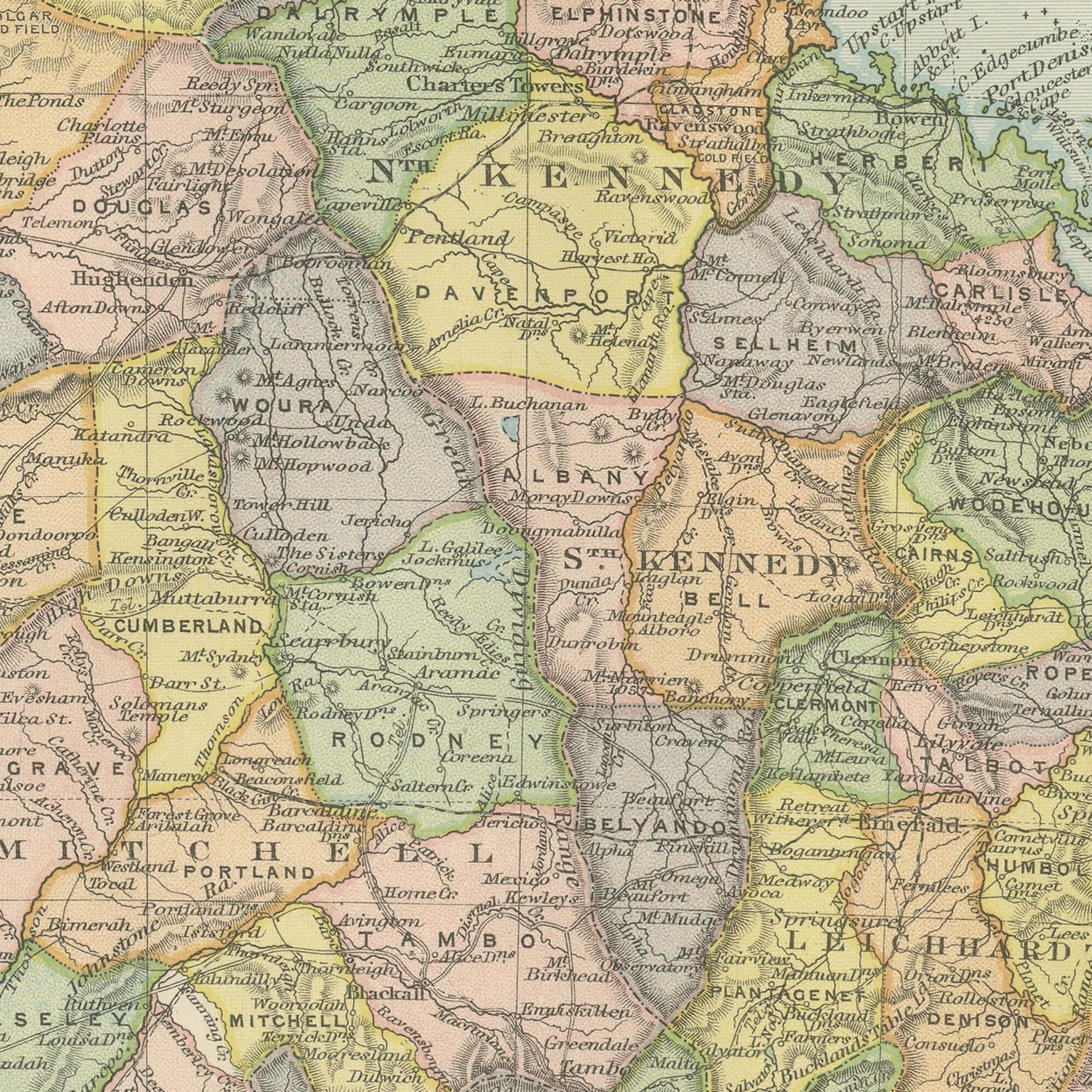
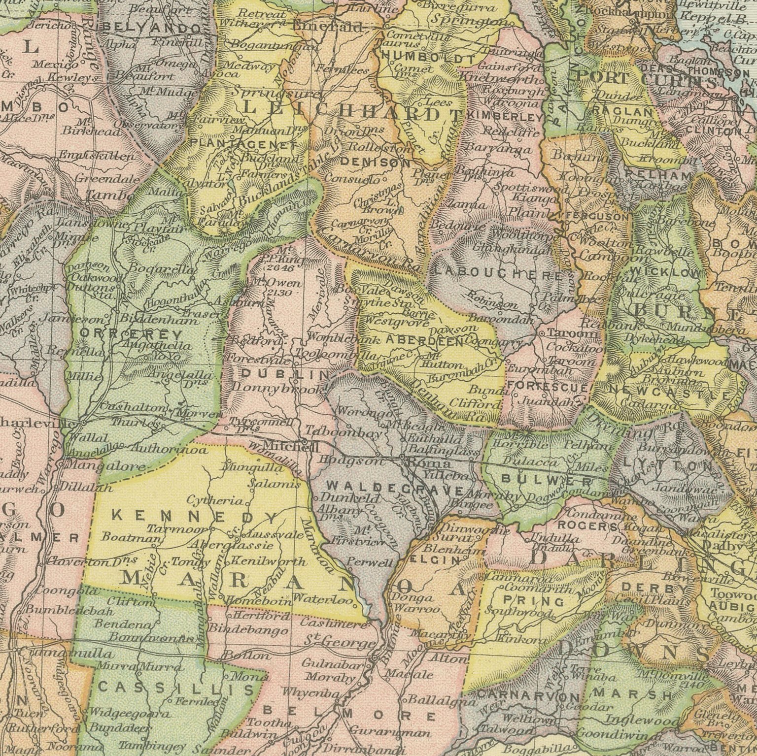
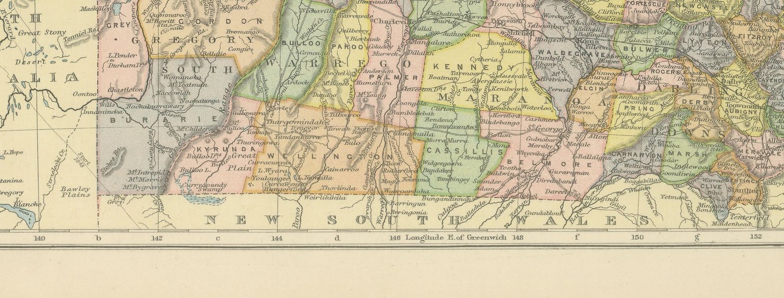
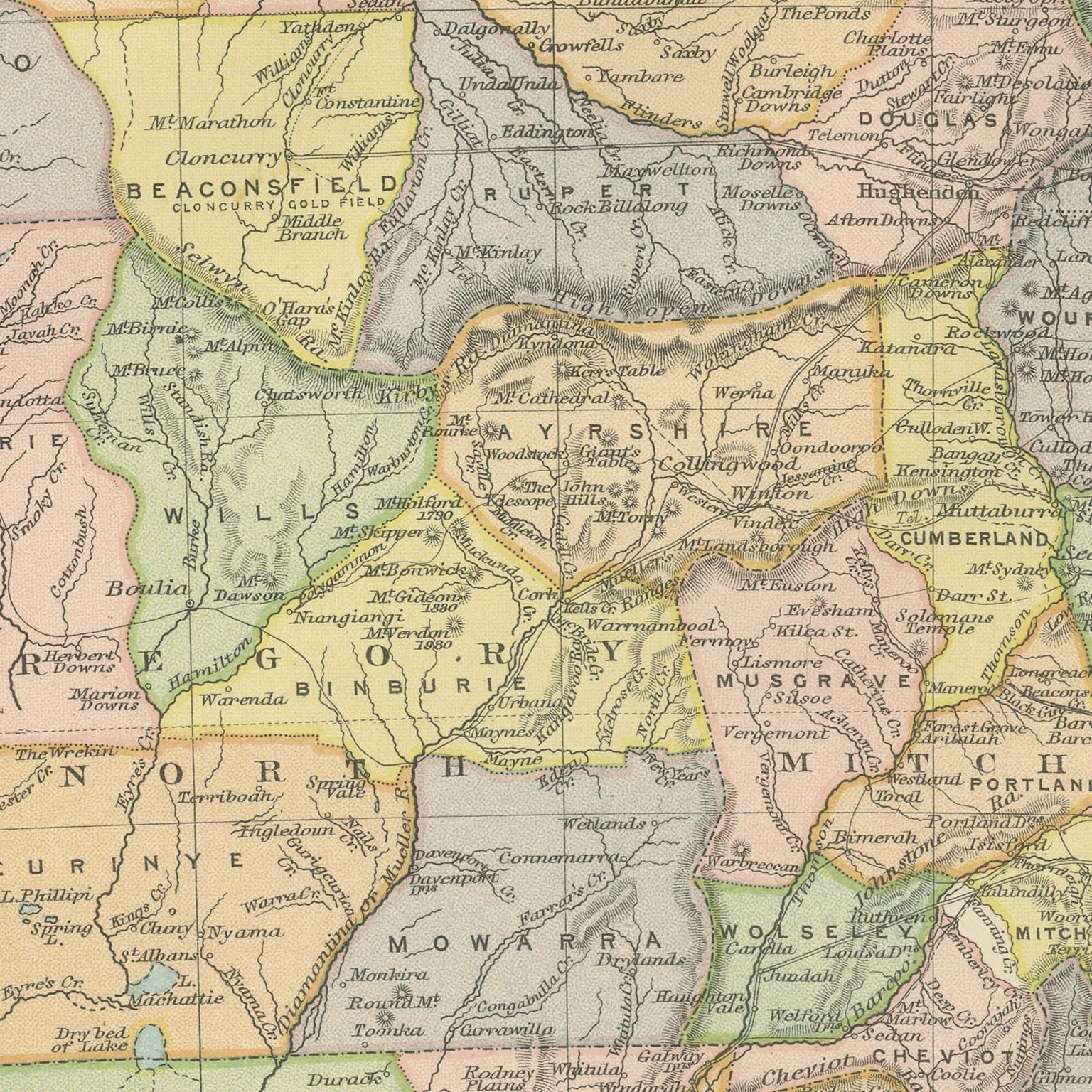
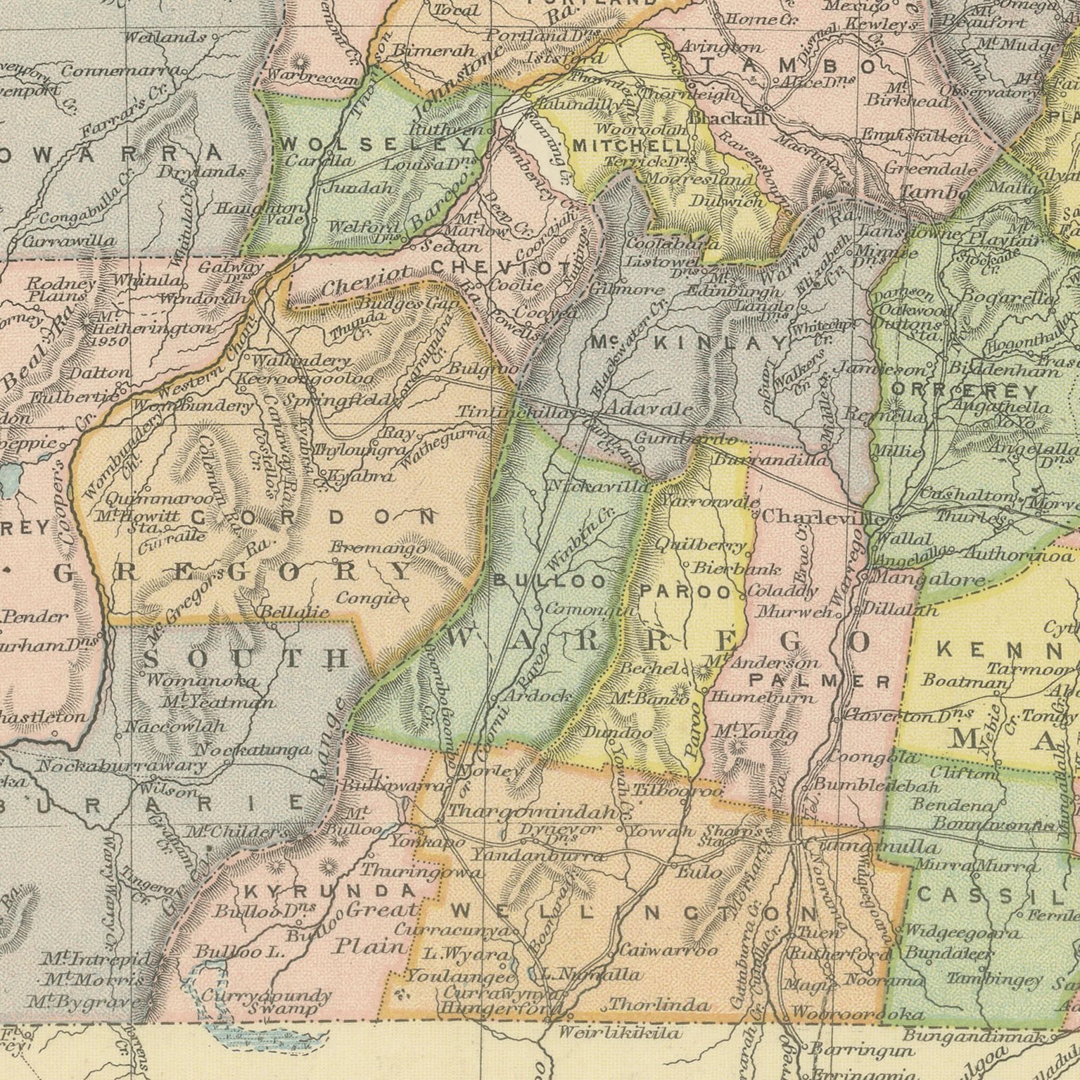
Original antique map of Queensland from the 1898 Commercial and Library Atlas of the World, edited by G. W. Bacon in London and printed in color. The colony fills an upright double page from Cape York to the New South Wales border, every pastoral district separately colored and named, with the Great Barrier Reef drawn along the Coral Sea coast, the Gulf of Carpentaria to the west and British New Guinea across the top of the sheet. An inset plans Brisbane with the river and Moreton Bay.
The sheet was printed for the Commercial and Library Atlas of the World, the reference atlas G. W. Bacon and Company, Limited published from the Strand in London in 1898. Bacon edited it himself, and his Geographical Establishment drew, printed and colored every plate. One hundred double page maps and one hundred insets covered the whole of the known world, with the railway and steamship lines that were then remaking it marked throughout.
The reef is drawn here as a line of broken shoals rather than the landmark it has become, which is itself a comment on what the nineteenth century thought it was for. British New Guinea appears at the head of the map, administered from Queensland, five years before it became Papua. The great pastoral runs of the interior are named across country that carried almost nobody, and the gold towns of Charters Towers and Croydon are marked.
Light overall age toning, with the paper darker along the right edge, a few handling marks in the margins and light handling wear at the bottom right corner. The printed image itself is clean.
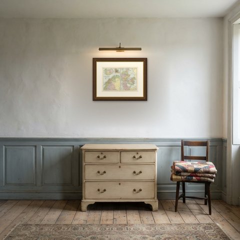
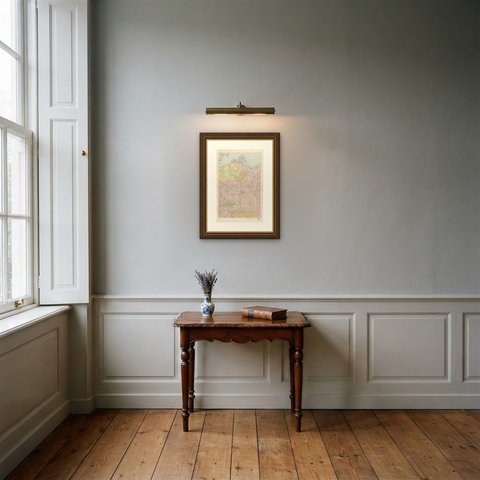
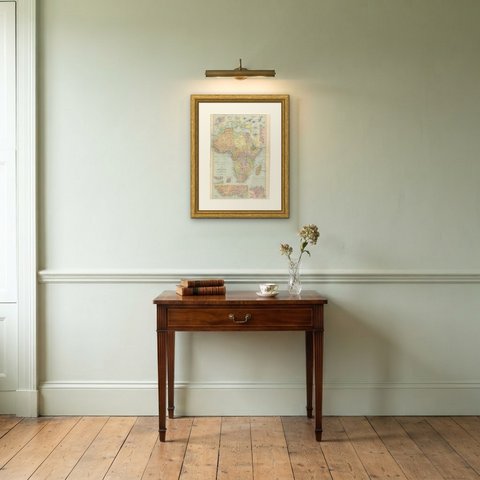
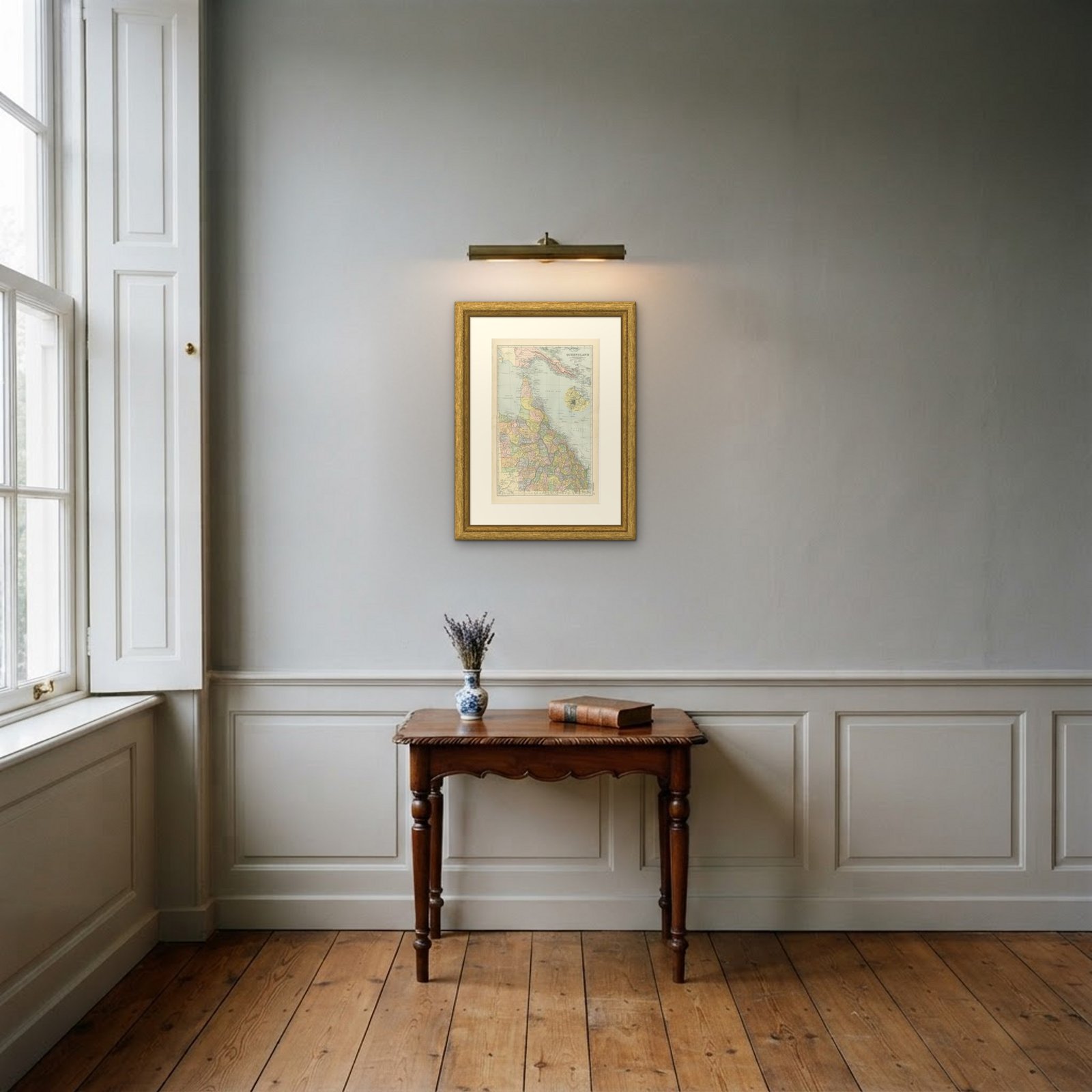
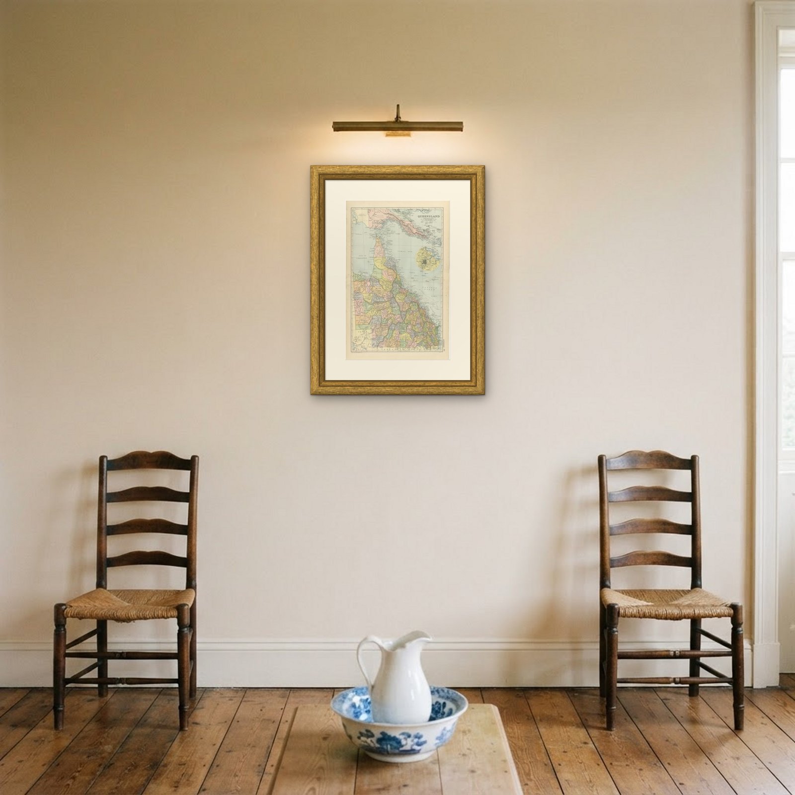
Framed simply, a sheet of this size holds a wall on its own, and the clear color printing reads well across a room. It suits a study, a library, an office or a hallway, and it is an easy gift for anyone with a connection to the place it shows. This is an original antique map, not a modern reproduction. This item is sold unframed.