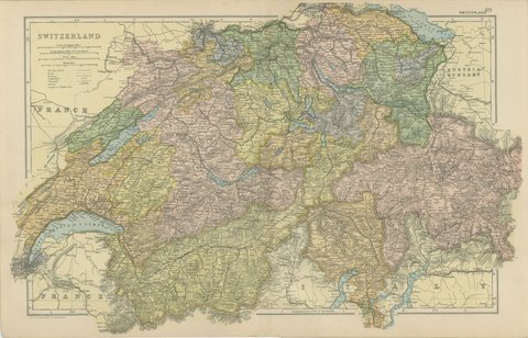
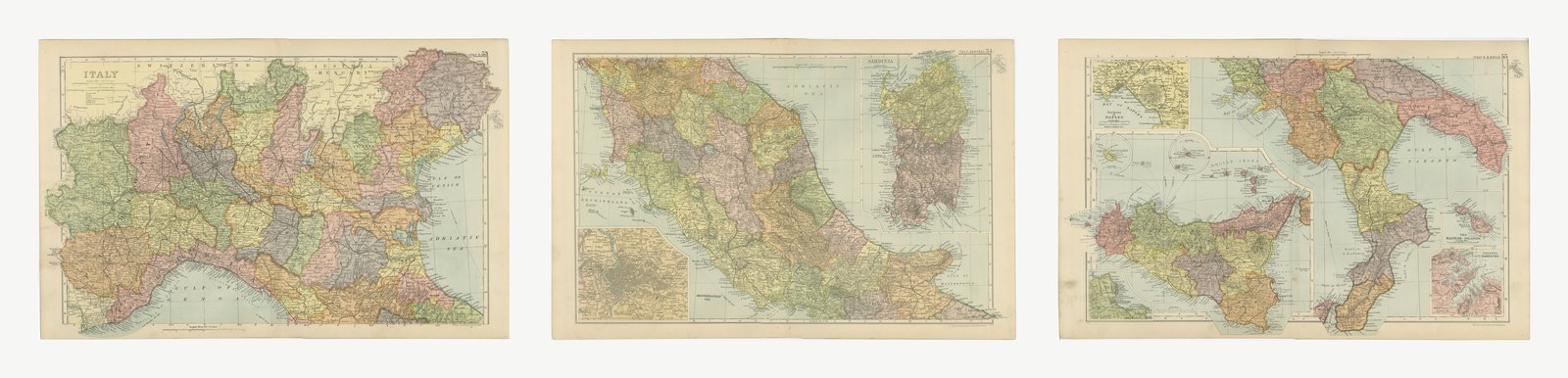
 The sheet, as you receive it
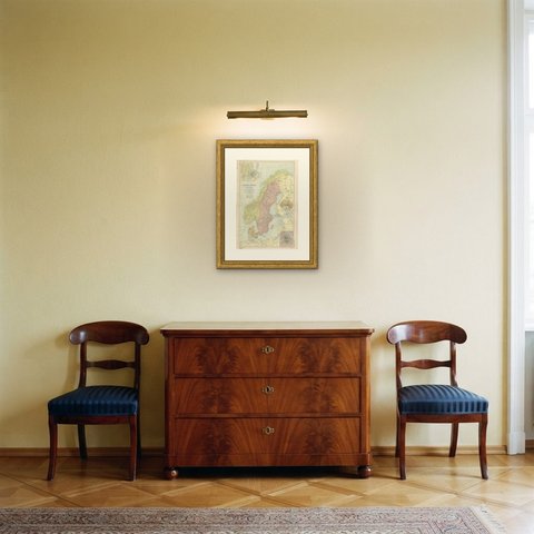
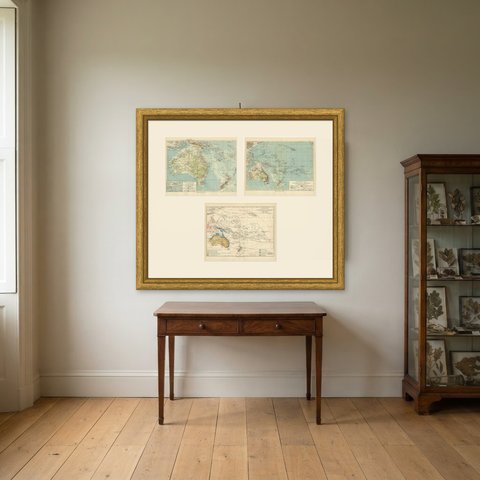
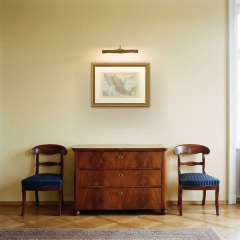
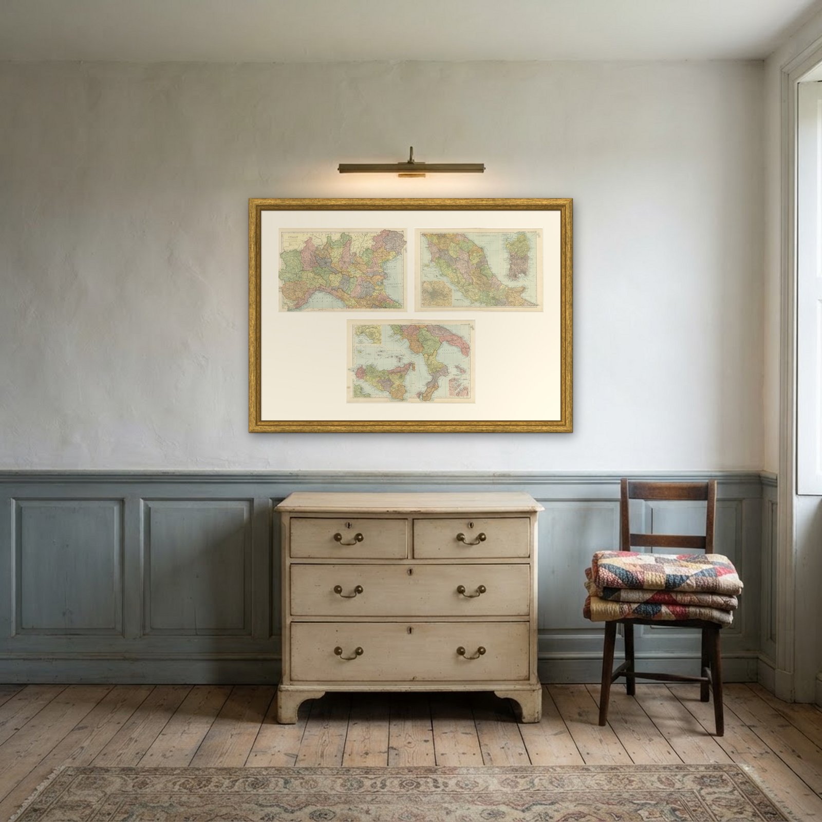 In the room
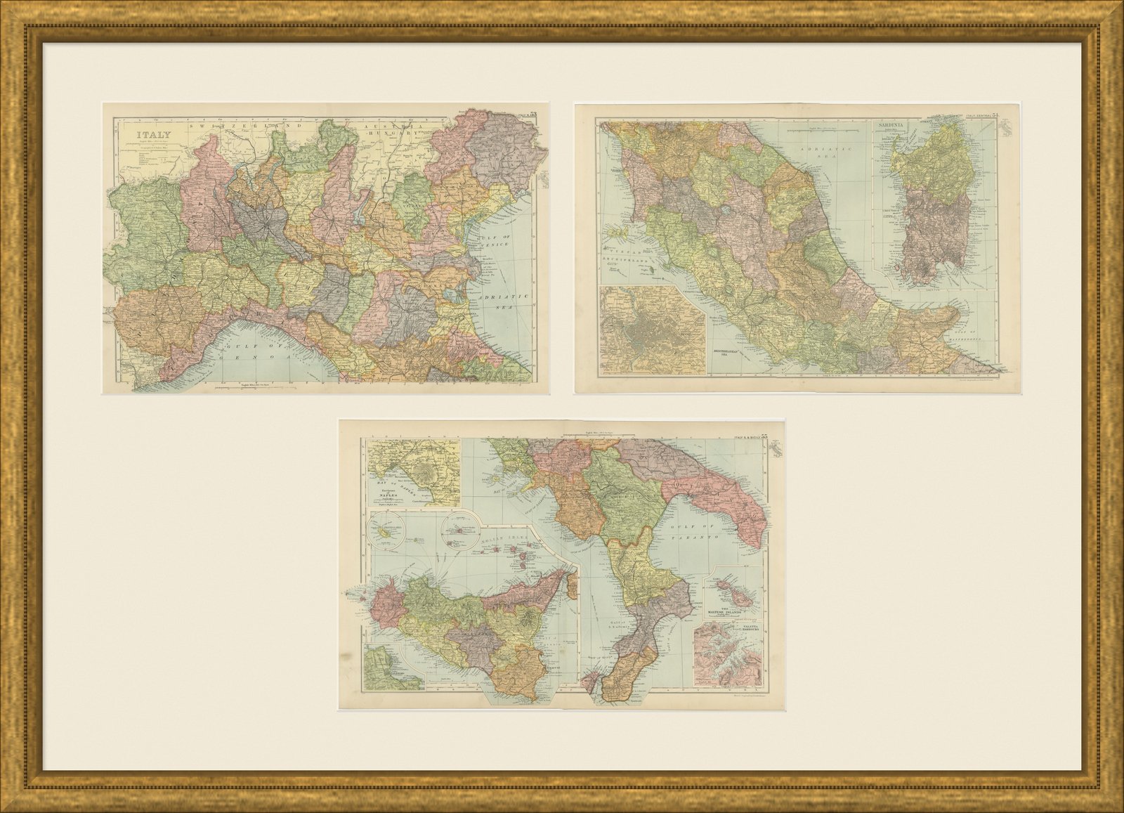
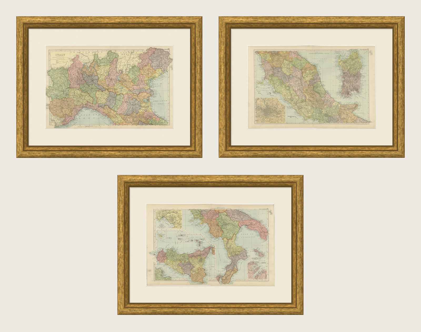
Interior designers: BarTrade members buy at their trade price. How it works
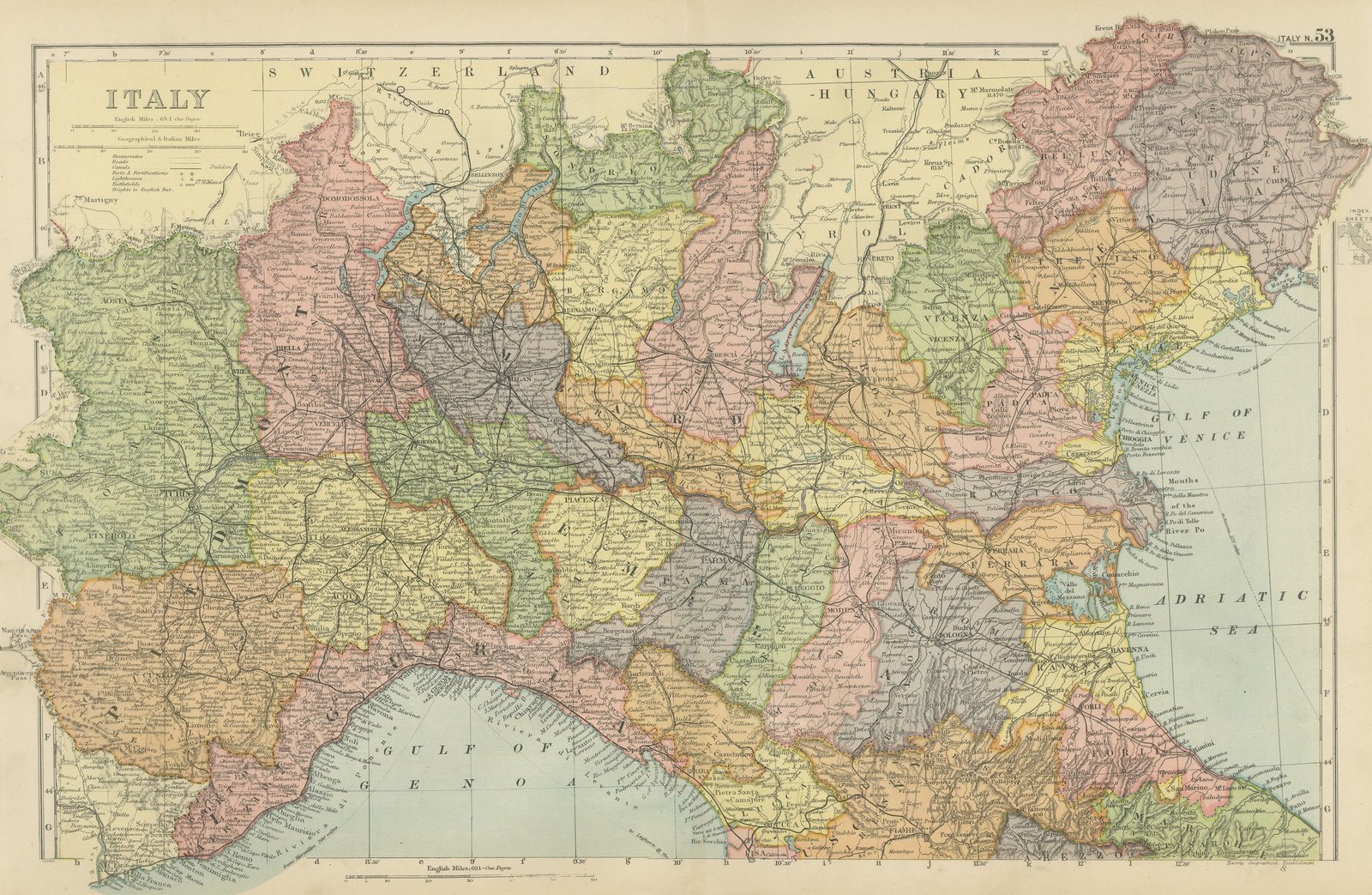
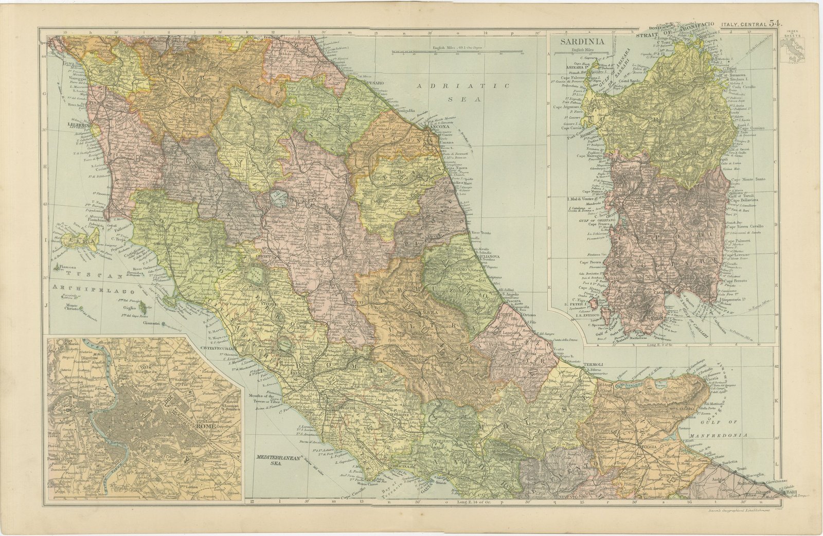
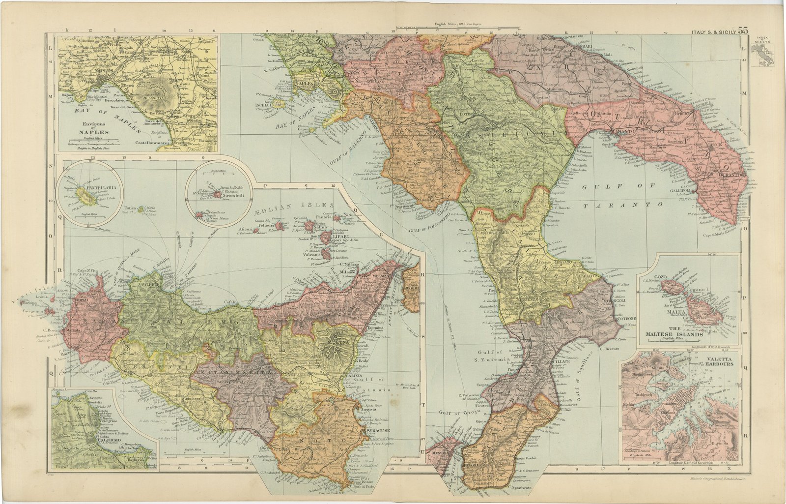
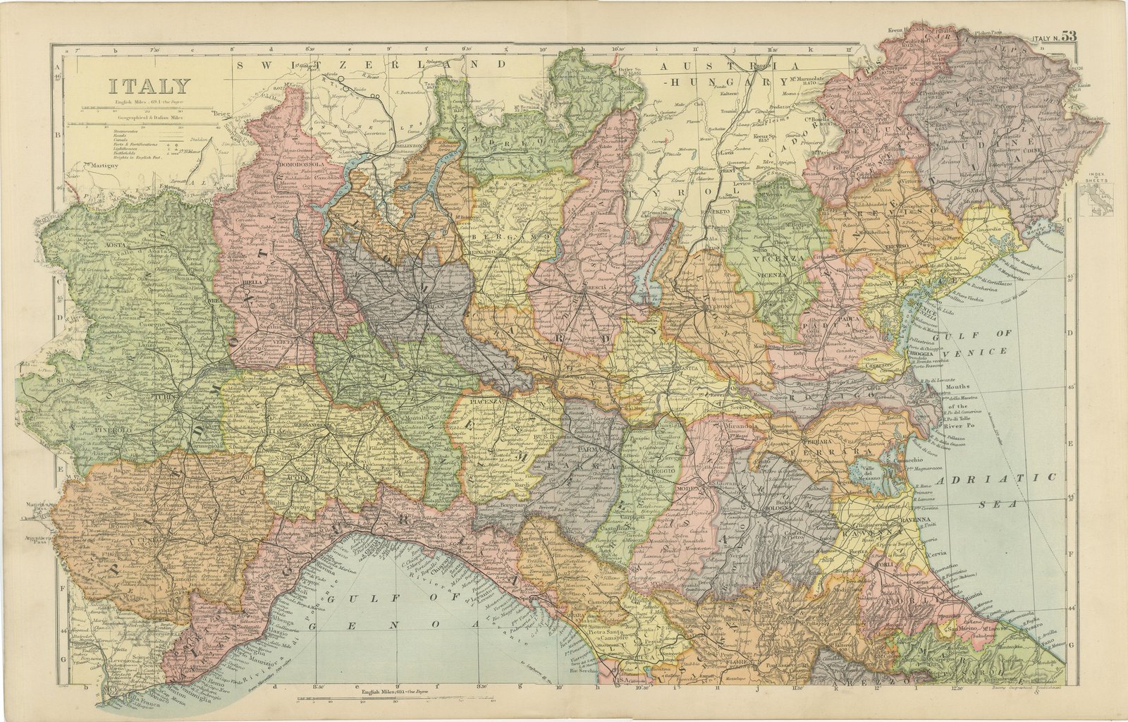
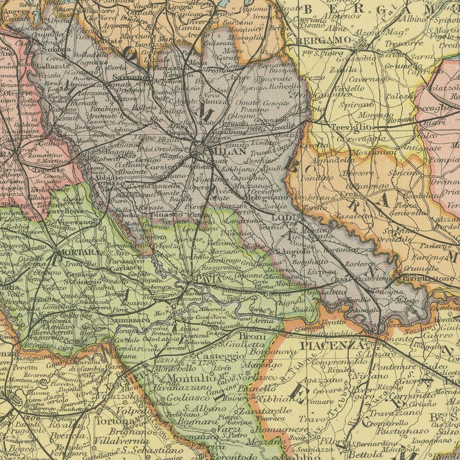
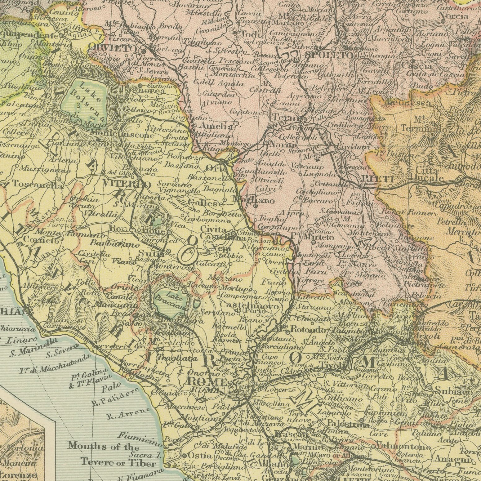
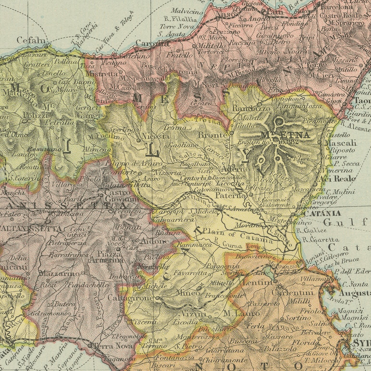
A set of three original antique maps that join to form the whole of Italy, color printed in London in 1898 for G. W. Bacon's Commercial and Library Atlas of the World. The northern sheet carries the Alps, the lakes and the Po valley with Venice, Milan and Turin; the central sheet covers Tuscany, Umbria and the Roman Campagna, with insets of Sardinia and of Rome; the southern sheet runs from Naples to Sicily, with insets of the environs of Naples, Palermo, Stromboli, Pantellaria, the Maltese Islands and the harbors of Valetta. Every province is separately colored. These are three original sheets sold together as one set and are not offered separately.
This map was issued in the Commercial and Library Atlas of the World, published by G. W. Bacon and Company, Limited, London, in 1898. Bacon's house built its reputation on large, densely lettered commercial maps rather than on decorative cartography, and this atlas was its reference volume: one hundred double page maps and one hundred insets, each carrying the railways, steamer routes, submarine cables and administrative boundaries that a trading nation wanted at the end of the nineteenth century.
Italy had been a single kingdom for less than forty years when these plates were printed, and the three sheets together show the whole of it, including the islands, at a scale that names hill towns. Separately they divide the peninsula arbitrarily, which is the case for the set. Rome appears as a capital still being rebuilt after 1870, Vesuvius and Etna are drawn with their lava flows, and the Maltese inset is a reminder that Malta was a British fortress in the middle of an Italian sea. Hung as a vertical column of three the set makes a striking wall.
Three sheets, all age toned. The paper darker along the edges of all of them. Gray handling soiling in the margins of plate 53. Handling wear to the corners of all of them. The printed images are clean.
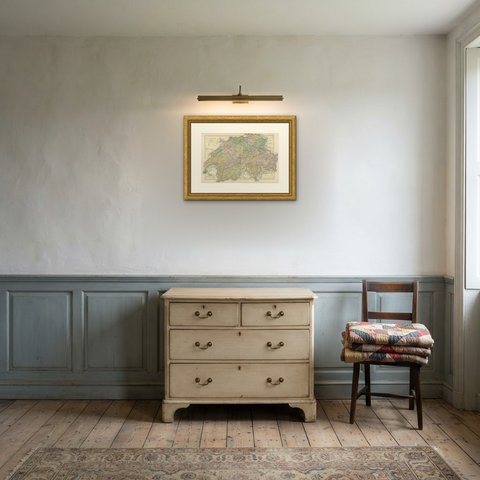
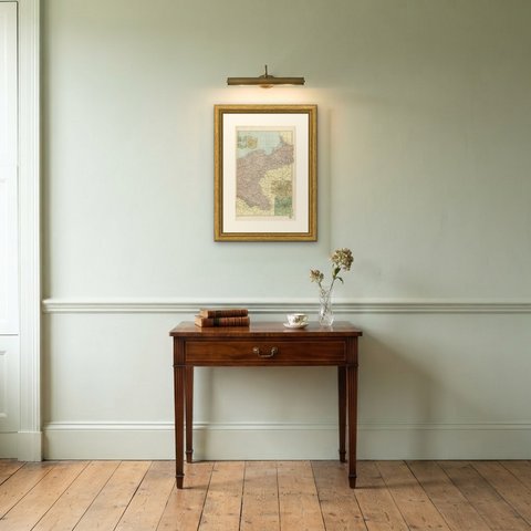
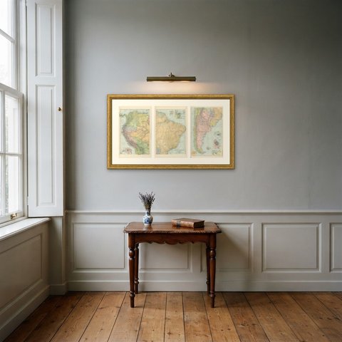
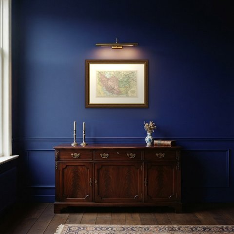
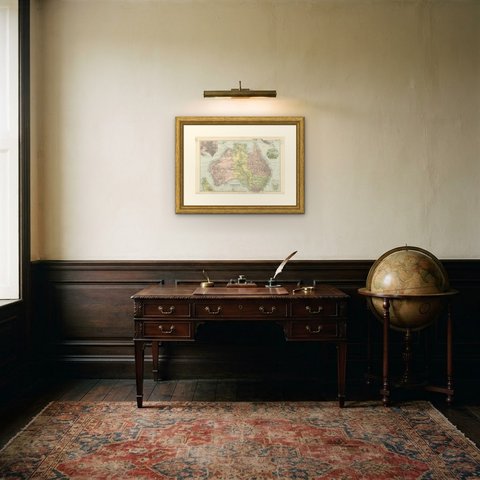
A map like this rewards close looking, so hang it where people pass near it: a hall, a landing, a study or a meeting room. The printed color is soft and the lettering fine, and it sits comfortably beside both antique and modern furniture. These are original antique maps, not modern reproductions. This item is sold unframed.