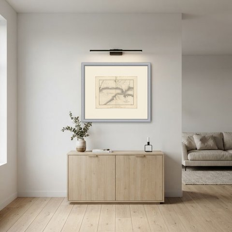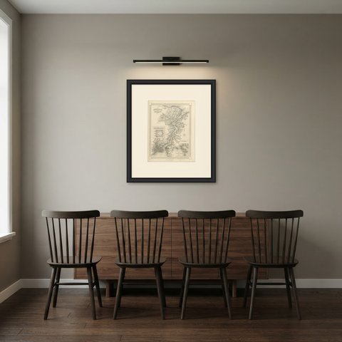
 The sheet, as you receive it
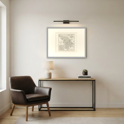
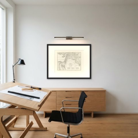
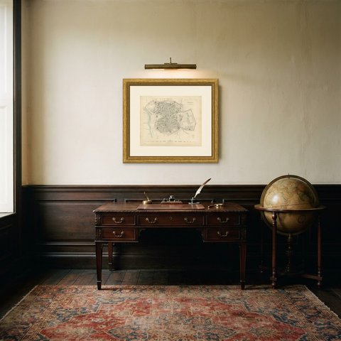
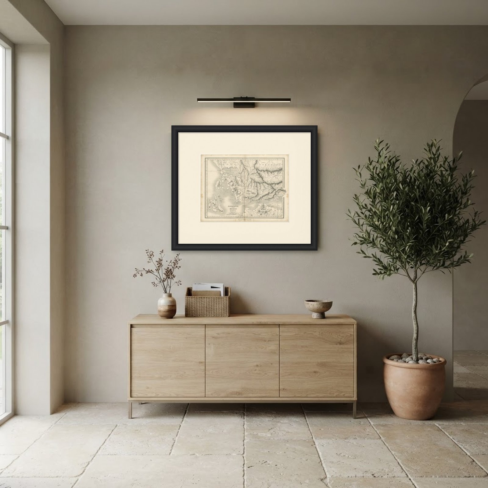 In the room
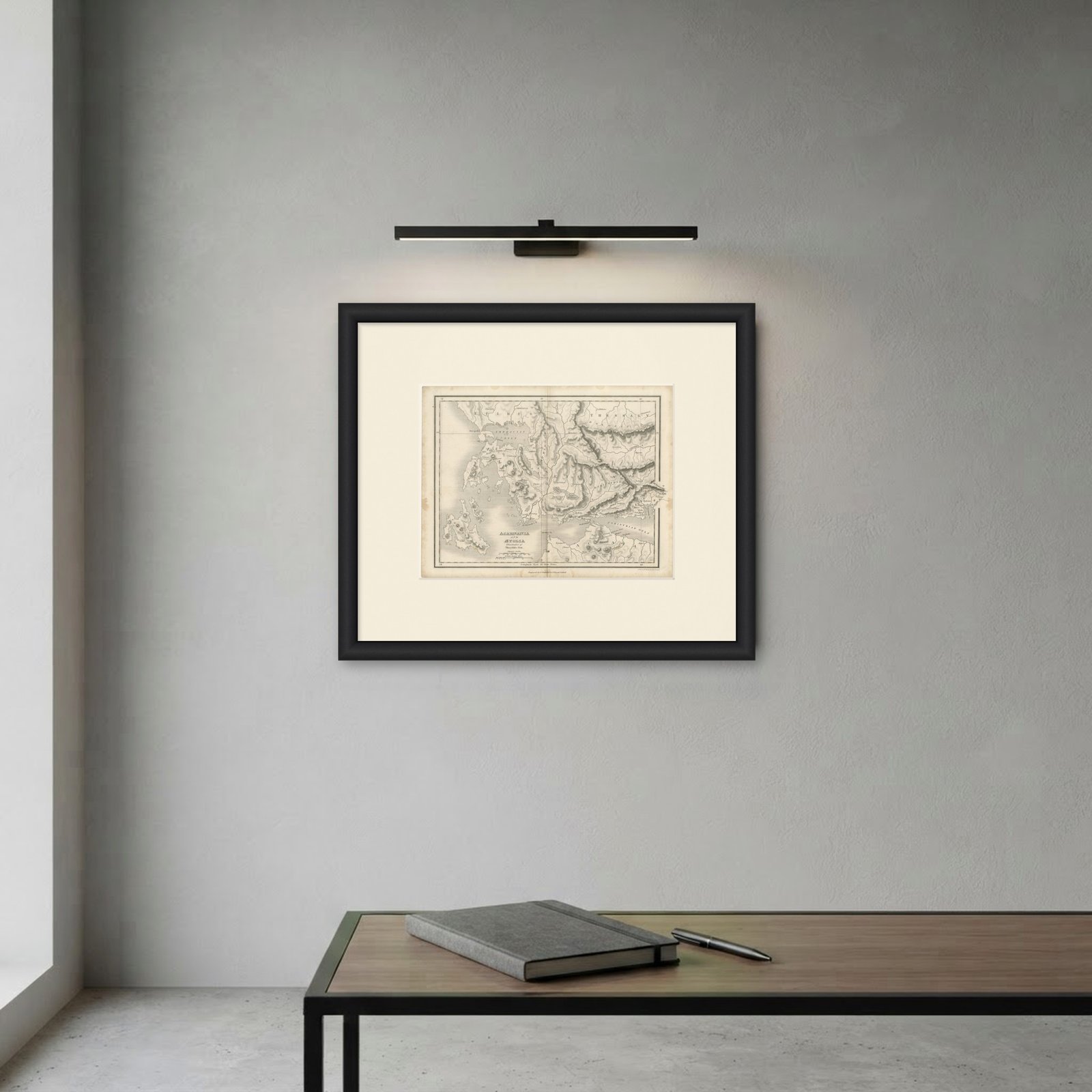
Interior designers: BarTrade members buy at their trade price. How it works
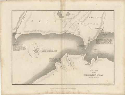
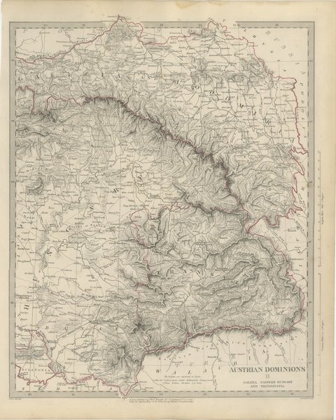
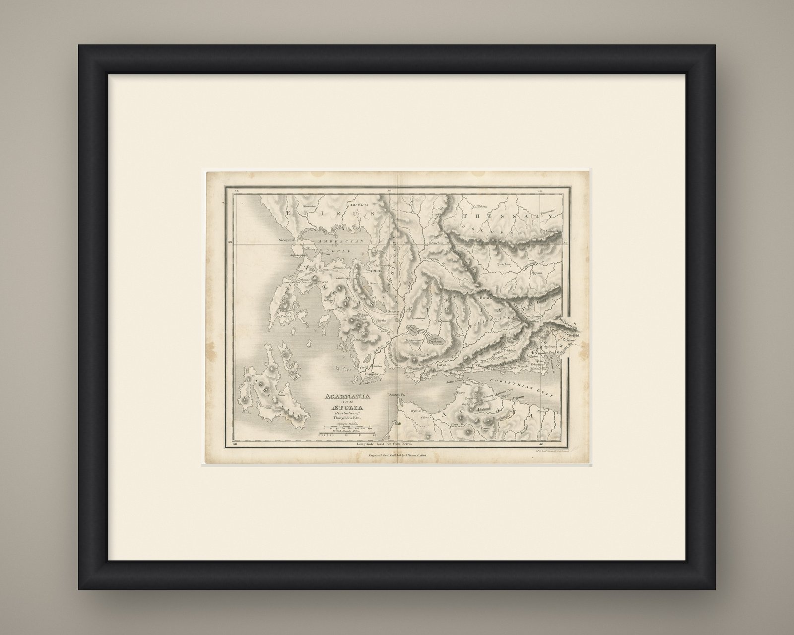
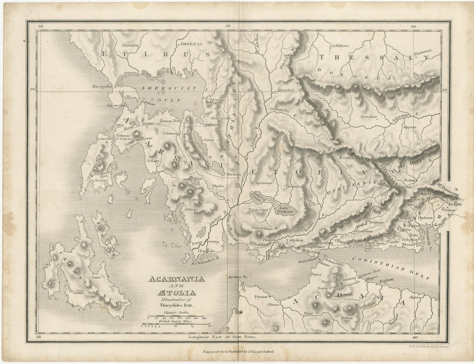
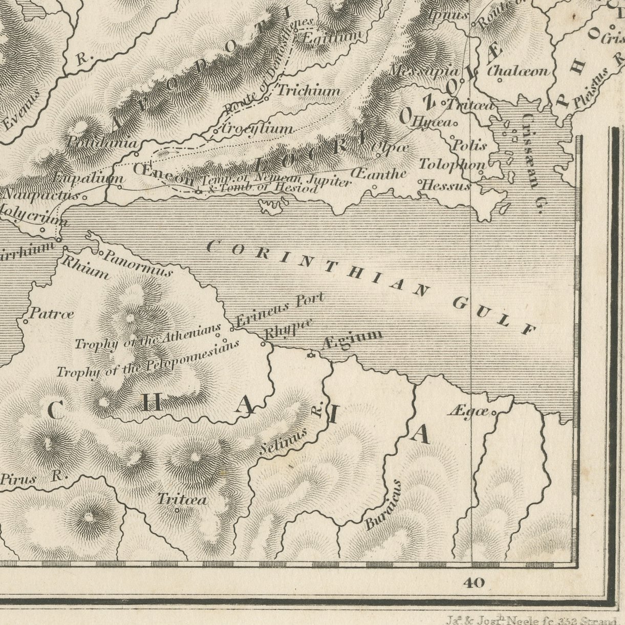
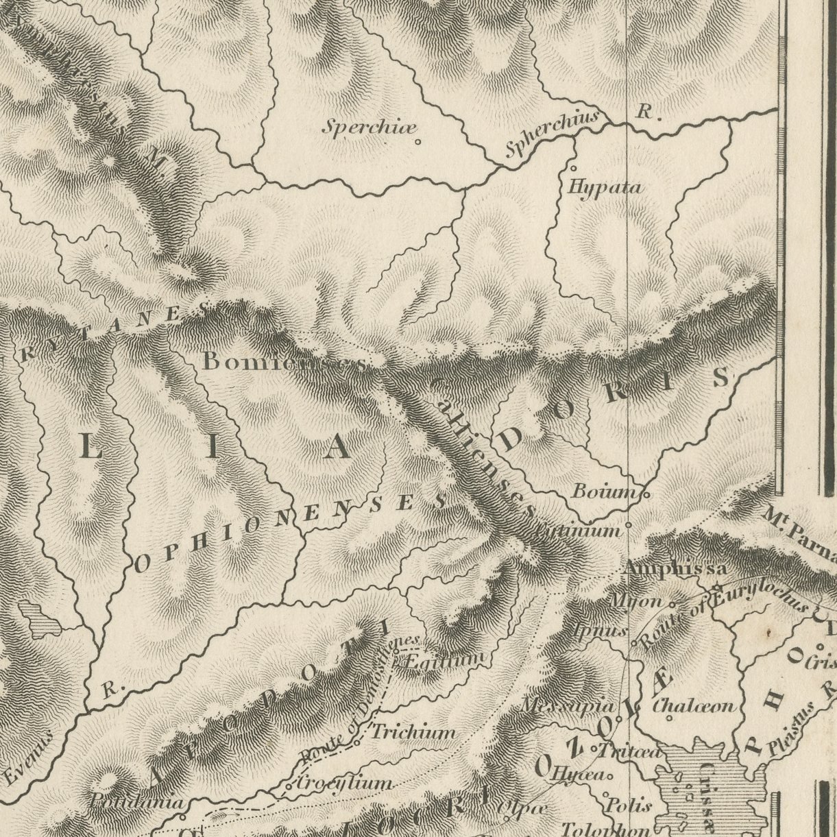
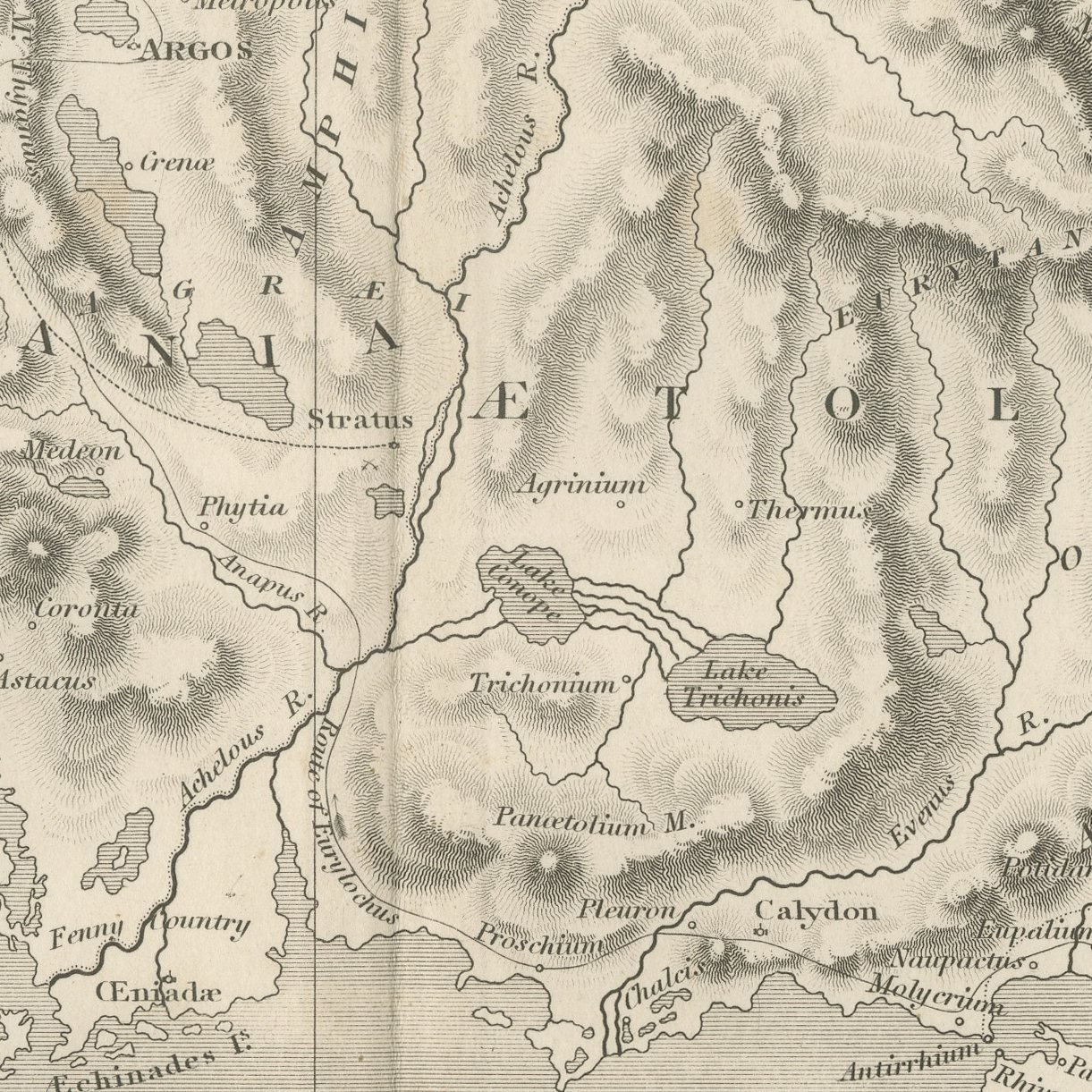
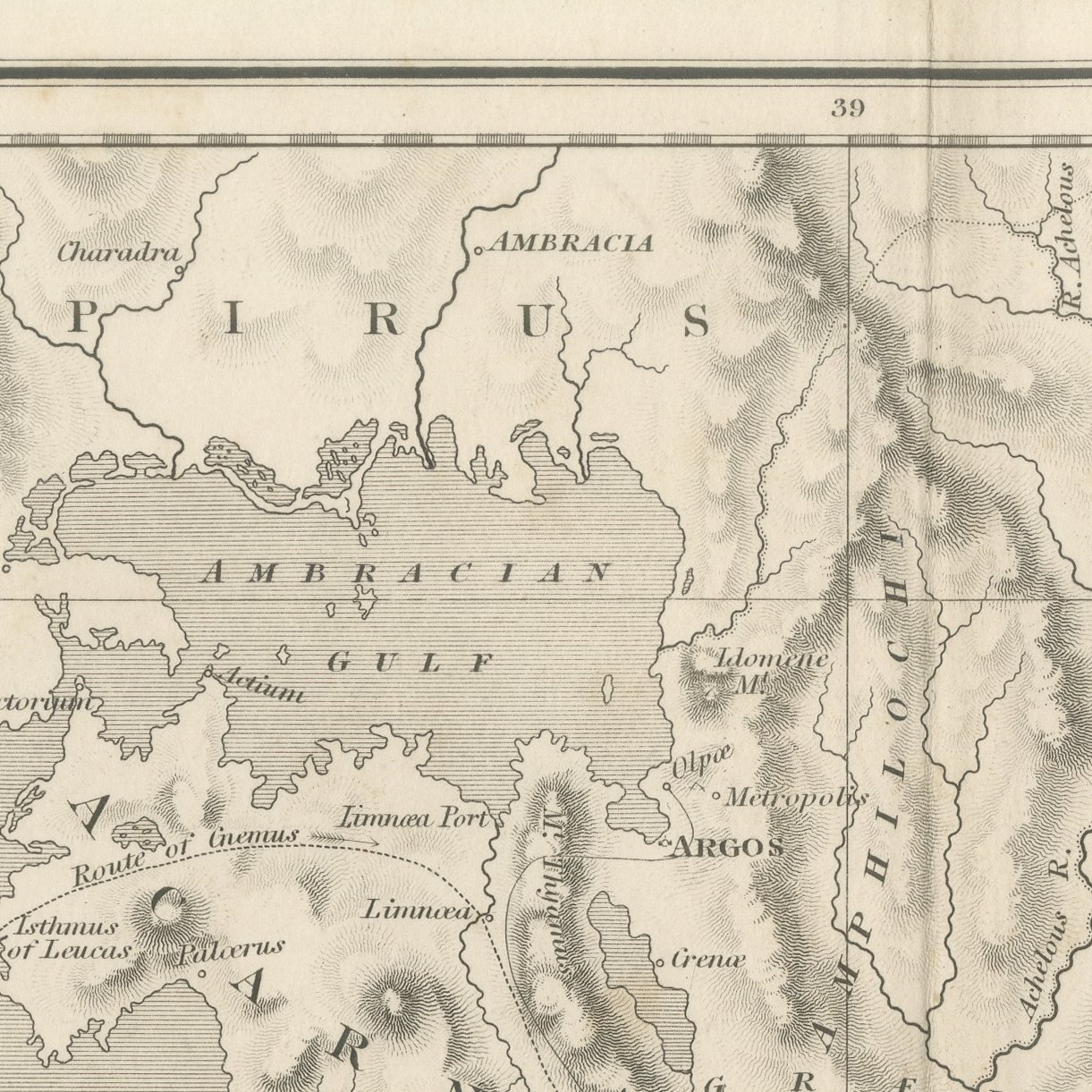
This is an original antique steel-engraved map of Acarnania and Aetolia, published at Oxford about 1850 in the atlas Maps and Plans illustrative of Thucydides, and lettered in its title as illustrating the third book. The map covers the rough western country between the Ambracian Gulf and the mouth of the Corinthian Gulf, with the Achelous winding down the middle of the sheet, the lagoons and marshes along the coast, and the broken hill country inland worked in fine hachuring. The towns of the Acarnanian and Aetolian campaigns are lettered along the rivers and the shore.
The sheet comes from Maps and Plans illustrative of Thucydides, the atlas published at Oxford by J. Vincent, with Whittaker and Co., Simpkin and Marshall, and Sherwood, Gilbert and Piper named as the London booksellers on the title page of this second edition. The atlas follows the text of Thucydides book by book, with general maps of the Greek world followed by plans of particular campaigns, sieges and battles, many of them lettered with the book and chapter they illustrate. The plates were engraved by J. and J. Neele of 352 Strand, London, with the hills in close hachuring and scales in Olympic stadia and British statute miles.
This is the country of the fighting in western Greece in the third book of Thucydides: the Athenian general Demosthenes was defeated in Aetolia in 426 BC and then won the battle of Olpae in Acarnania later the same year. The sheet groups with the other campaign maps of the atlas.
Moderate overall age toning, with darker along the bottom edge, a few foxing spots in the margins and handling wear to the top left corner. The printed image itself is clean.
This is an original antique print, not a modern reproduction. This item is sold unframed.