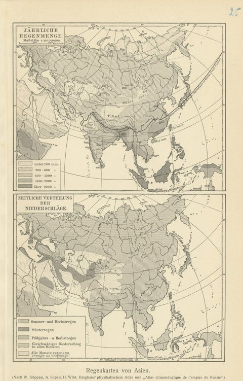
 The sheet, as you receive it
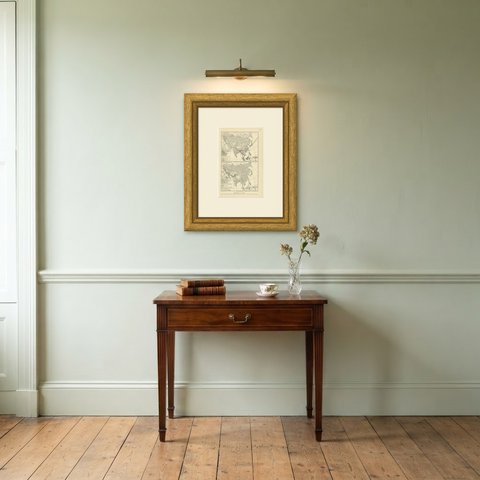
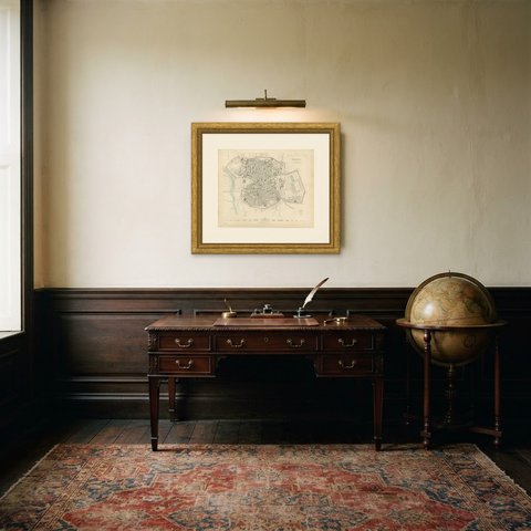
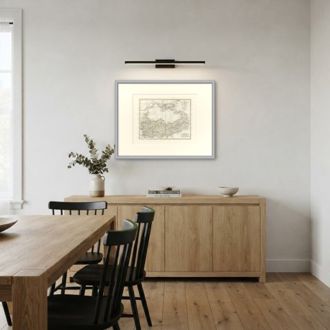
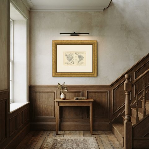
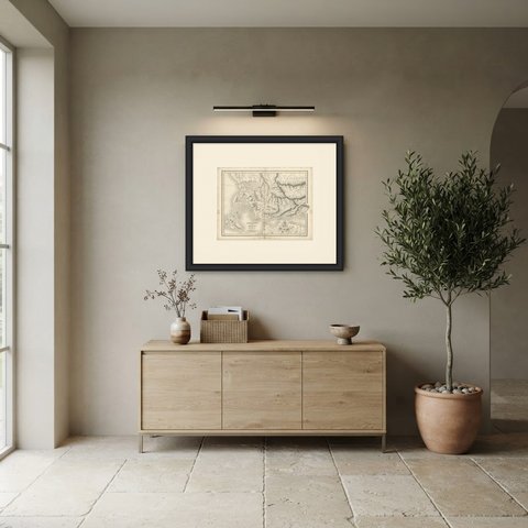
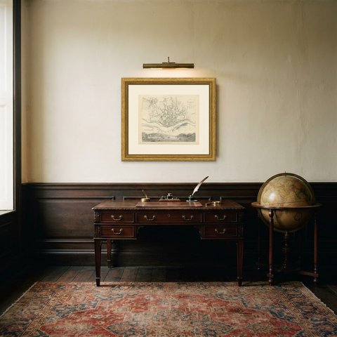
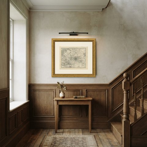
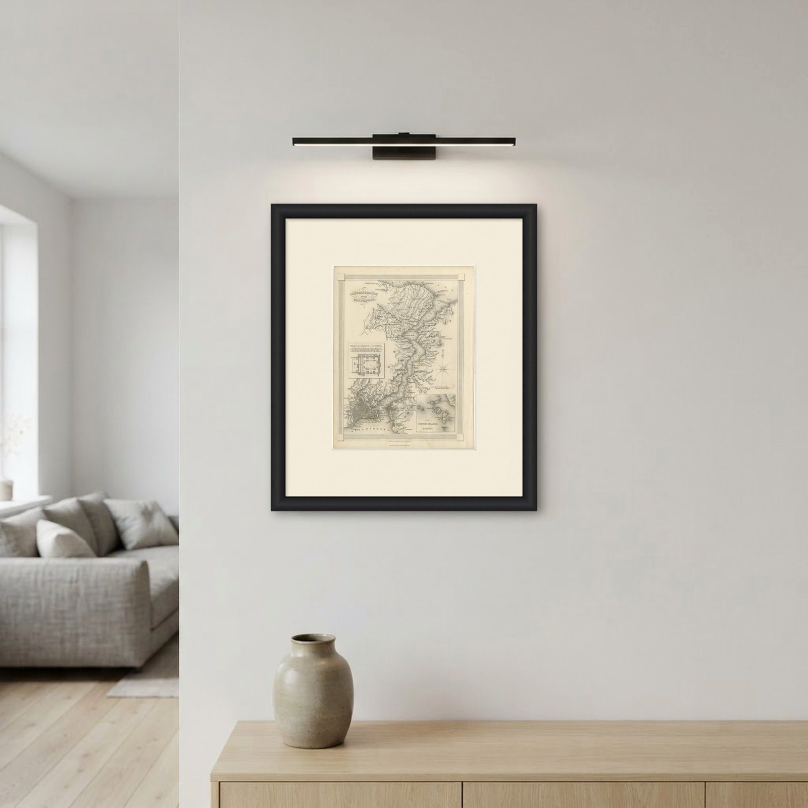
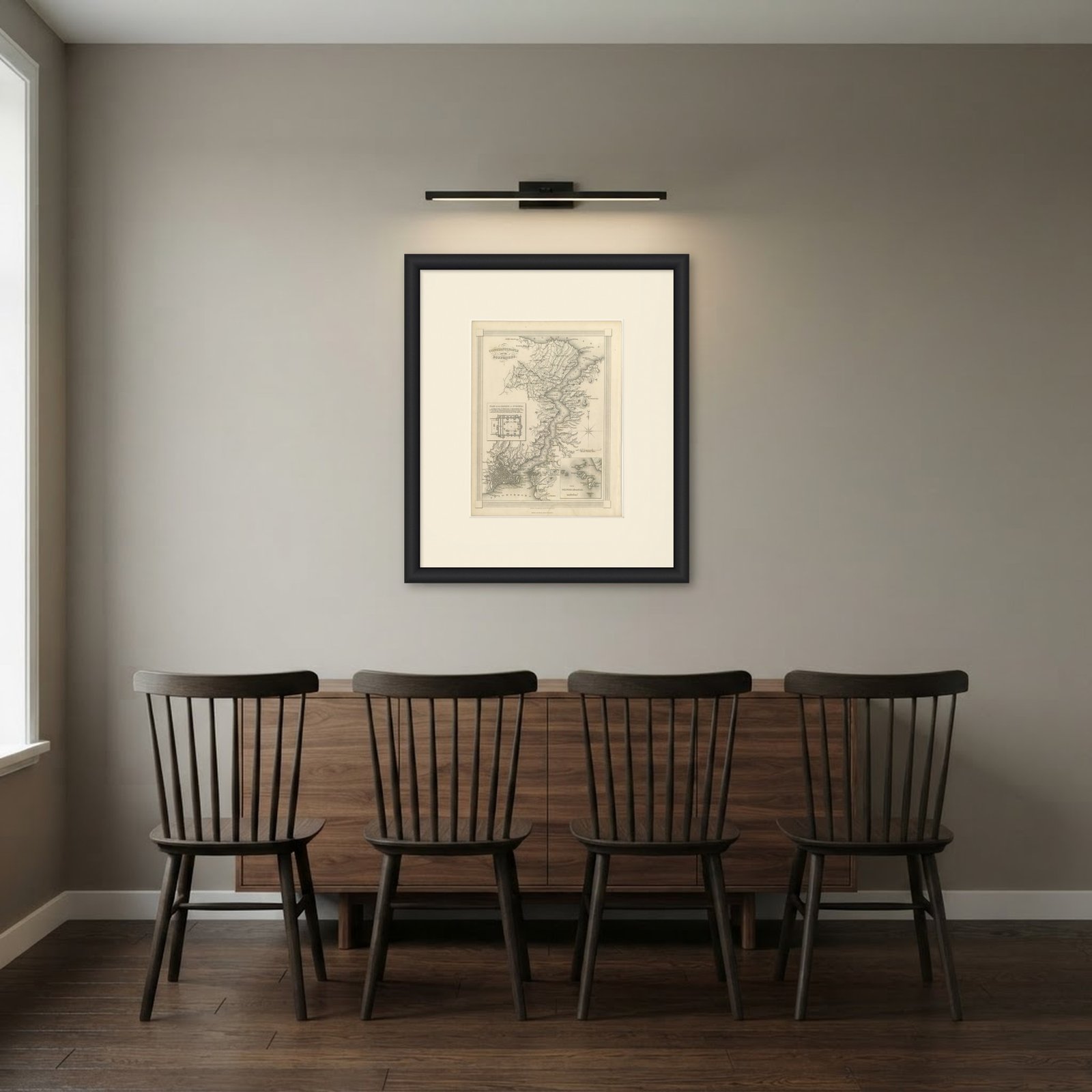 In the room
Interior designers: BarTrade members buy at their trade price. How it works
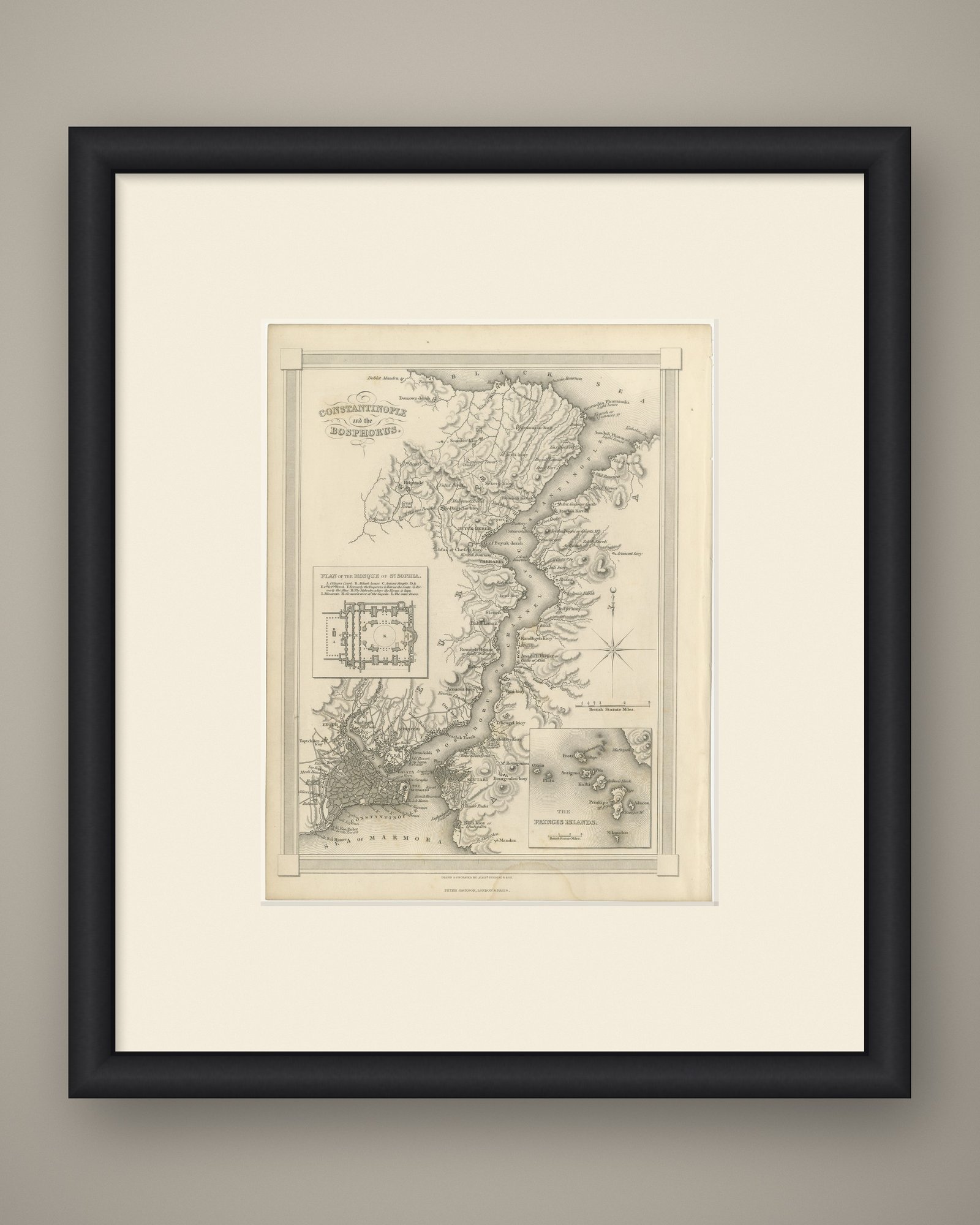
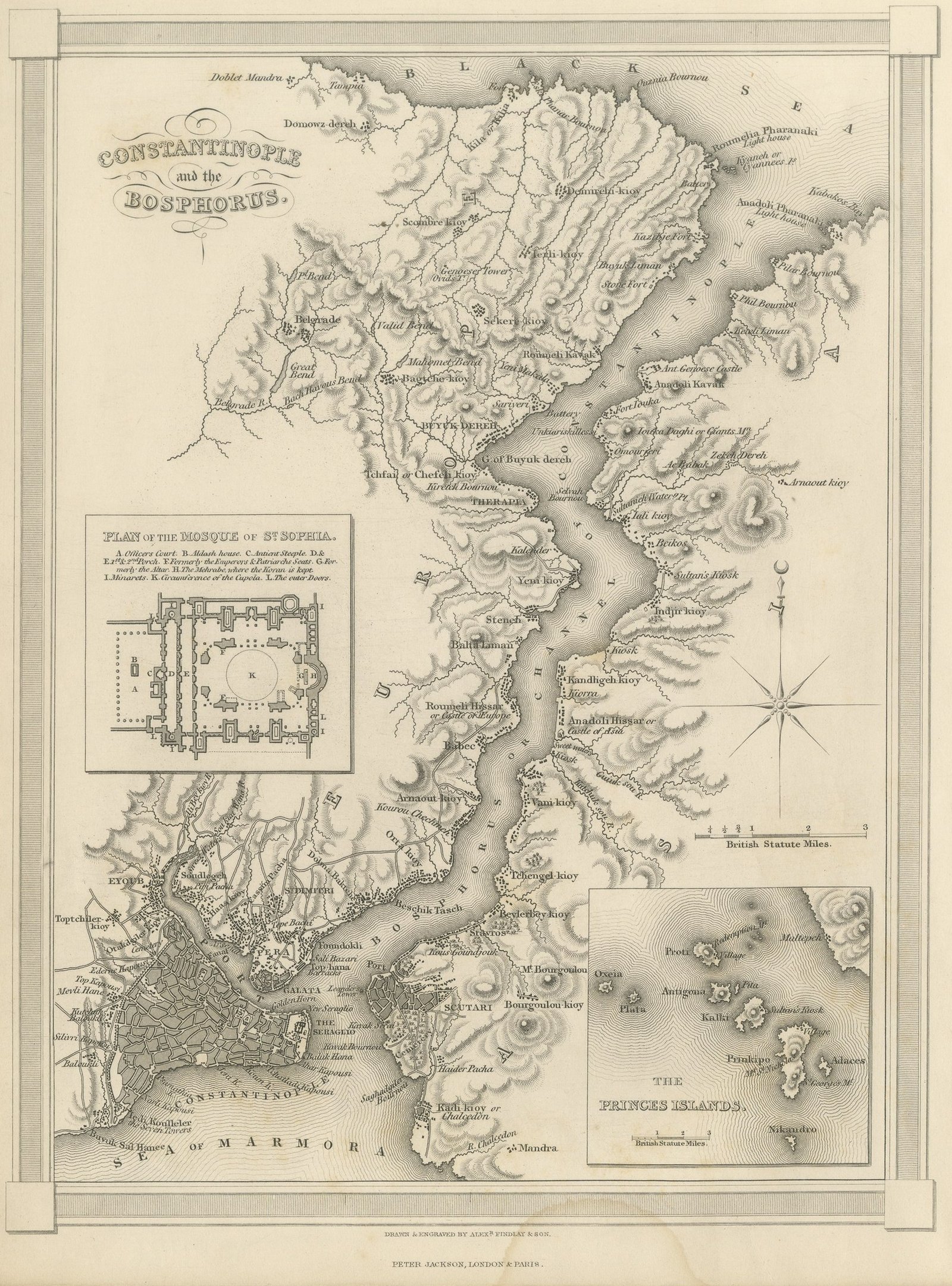
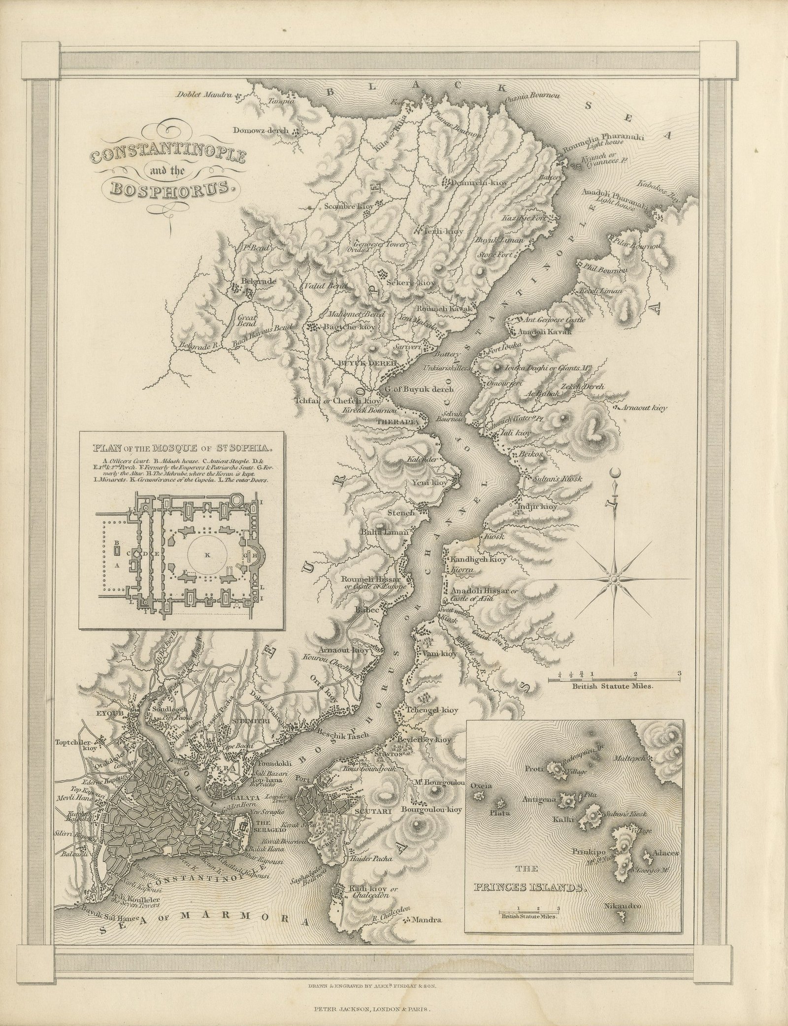
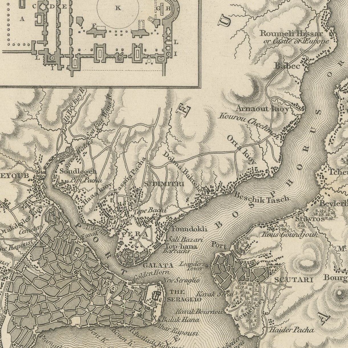
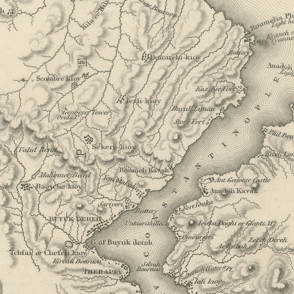
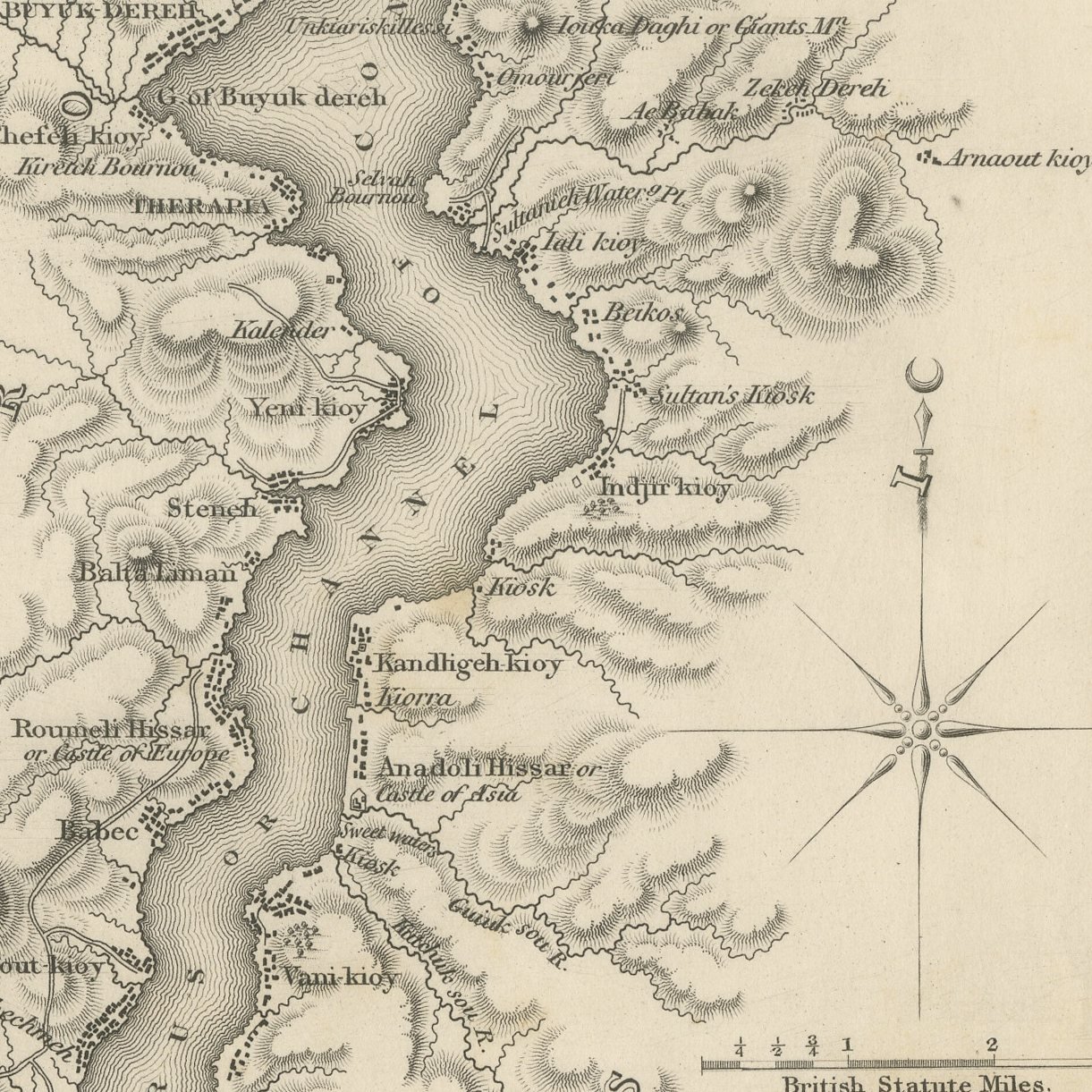
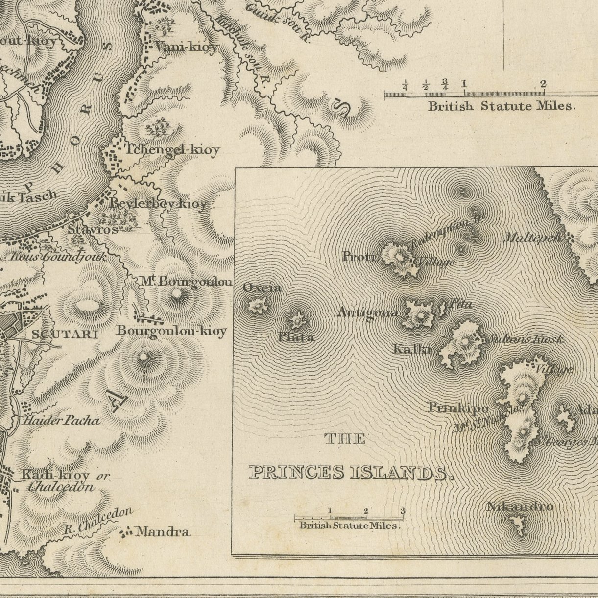
This original antique map of Constantinople and the Bosphorus was drawn and engraved on steel by Alexander Findlay and Son for the second volume of The Turkish Empire Illustrated, published in London by Peter Jackson about 1850. The sheet shows an engraved map of Constantinople and its waters, the city and the Seraglio point drawn street by street, the Bosphorus and the Sea of Marmora carried in fine hachure, Kadi Kioy or Chalcedon and Haider Pacha marked on the Asian shore, and a separate inset at the right giving the Princes Islands with their own scale in British statute miles.
This sheet was published in London about 1850 by Peter Jackson, late Fisher, Son and Company, in volume two of The Turkish Empire Illustrated. Thomas Allom traveled through Constantinople and Asia Minor making the original drawings, and Robert Walsh, who had served as embassy chaplain at the Porte, wrote the letterpress that accompanies them. The volume's own printed list of plates names this subject in the order the sheets were bound.
This is the only map in the volume and the only sheet in it not drawn by a topographical artist. Alexander Findlay and Son were the leading British commercial hydrographers of the period, and a Findlay plan of Constantinople at this date is a serious piece of cartography rather than a decorative accompaniment. Each plate in the series carries the draftsman at the lower left and the engraver at the lower right, printed inside the plate mark, with the English title in script below and a French translation beneath it on most sheets, which is how the publisher sold the work on both sides of the Channel. The tonal gradation is the work of the burin alone, with no aquatint or added wash. Framed in gilt or in plain polished wood it suits a study, a library or a dining room, and it sits easily beside maps, marine prints and other nineteenth century travel material.
Light uneven toning, browner toward the edges. Marked handling soiling along the bottom, left and top edges. Scattered light foxing in the margin. All four corners complete.
This is an original antique map, not a modern reproduction. This item is sold unframed.