 The sheet, as you receive it
 In the room
Interior designers: BarTrade members buy at their trade price. How it works
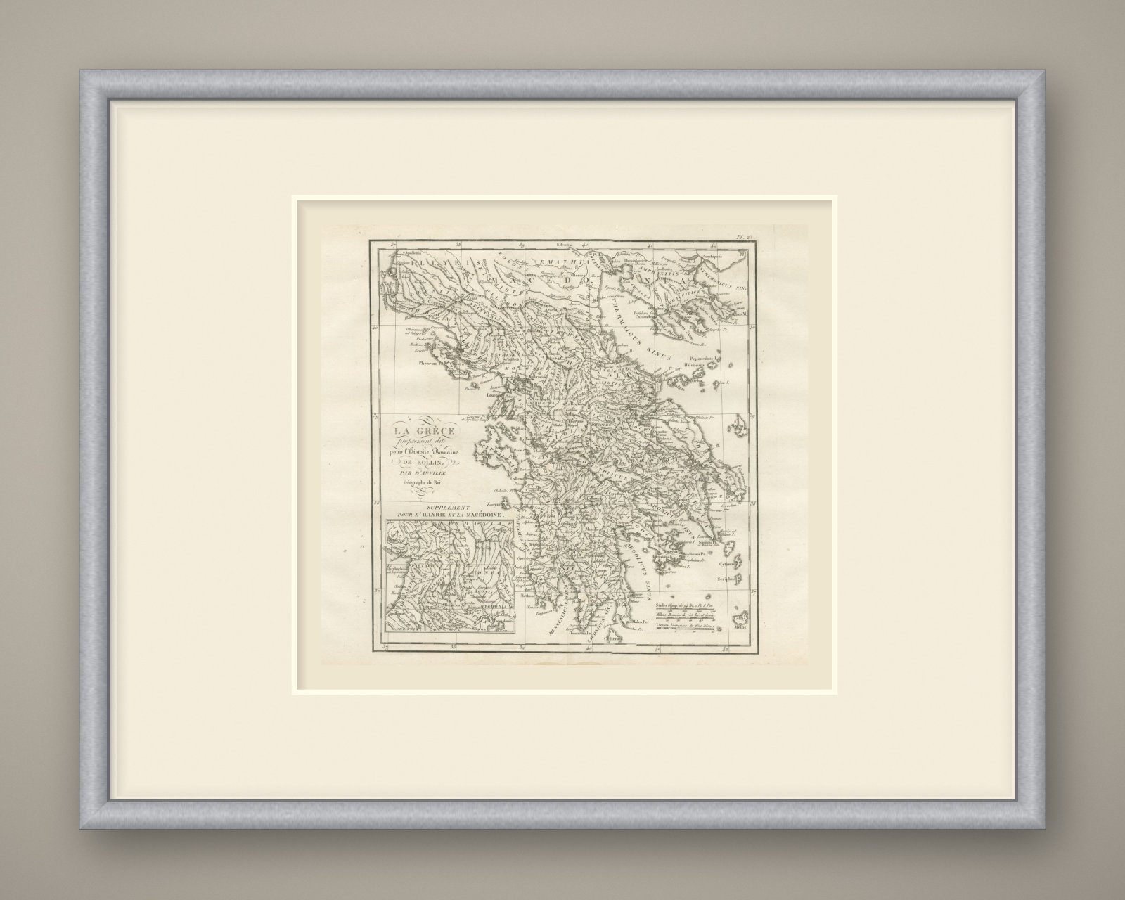
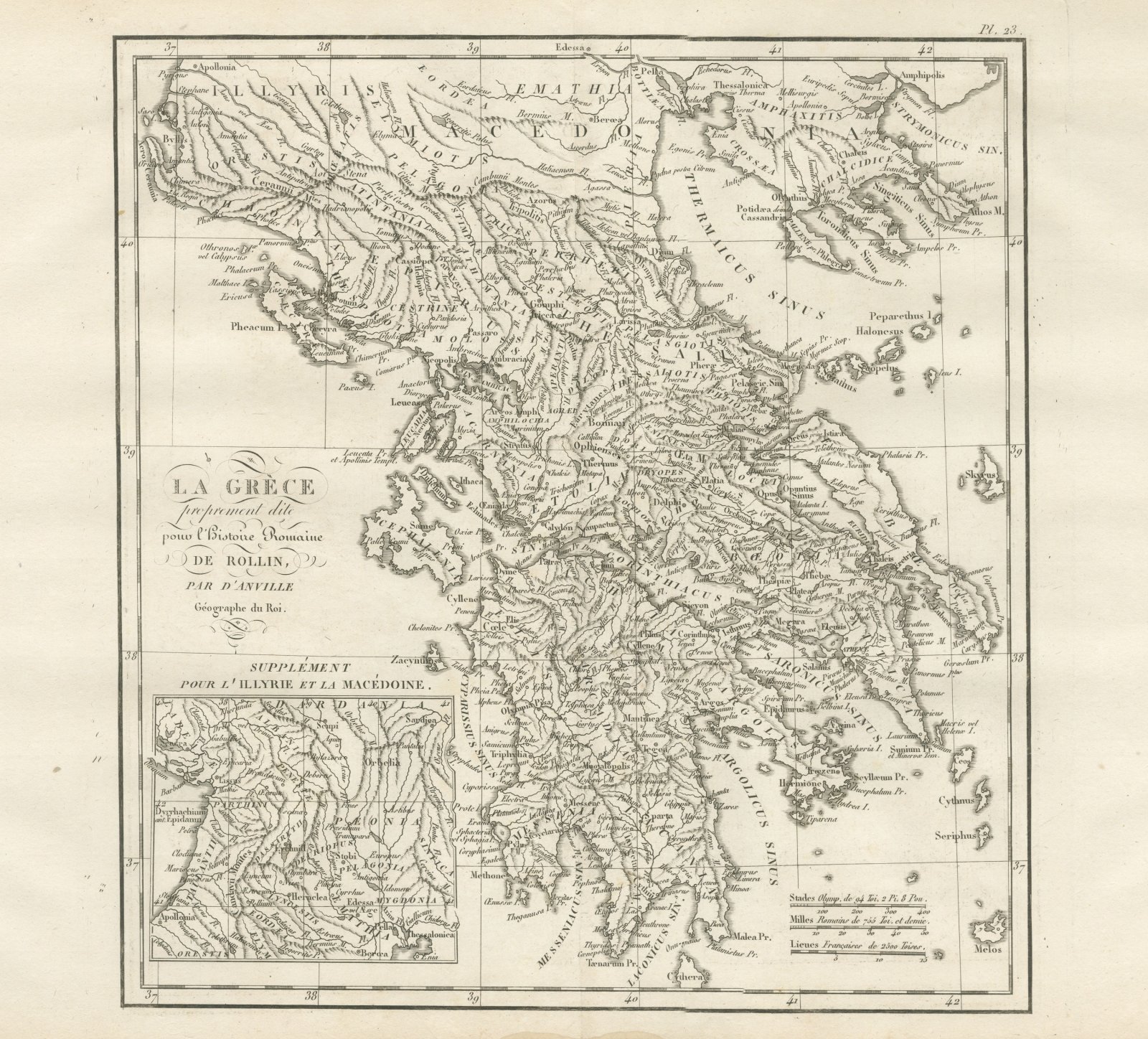
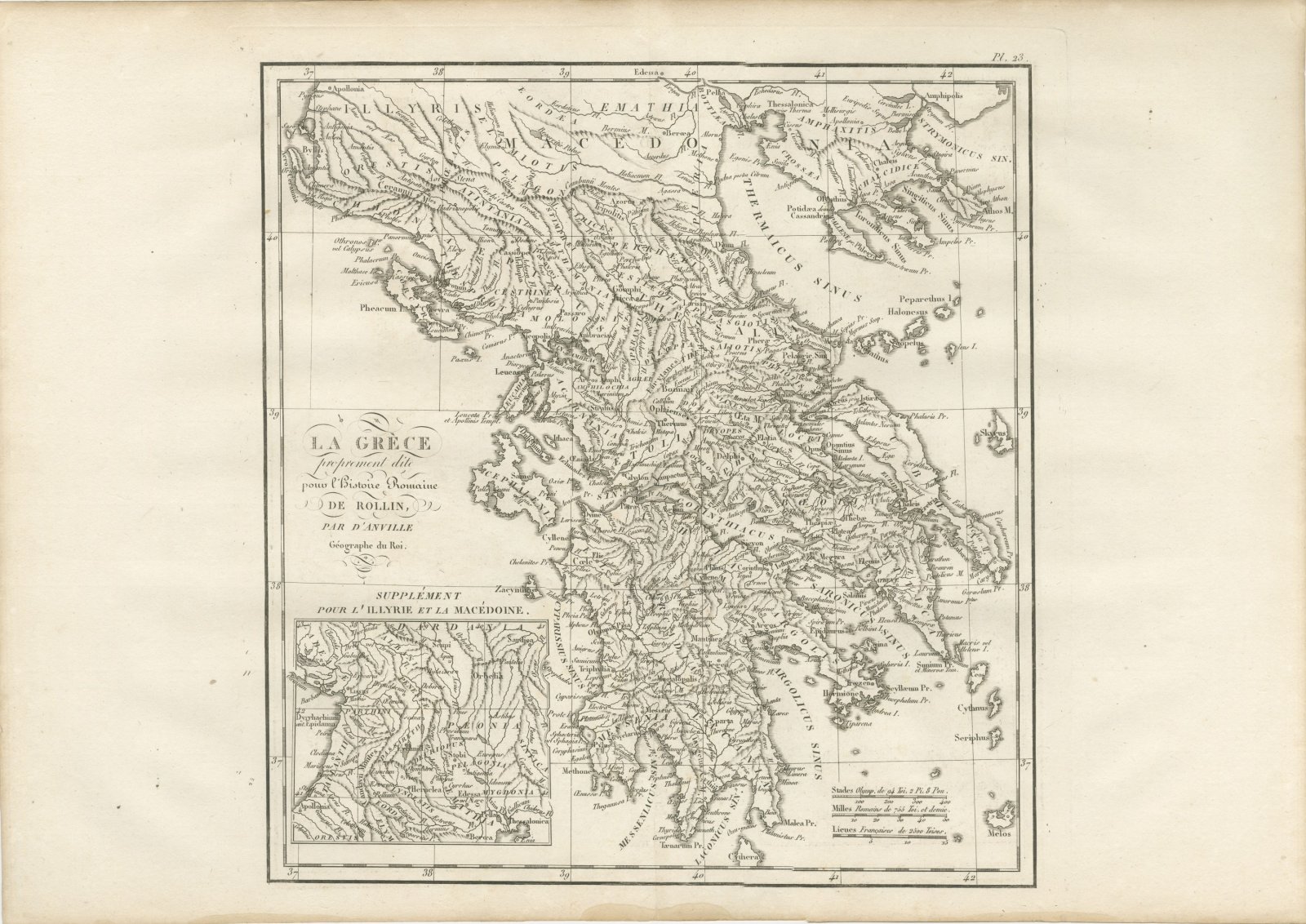
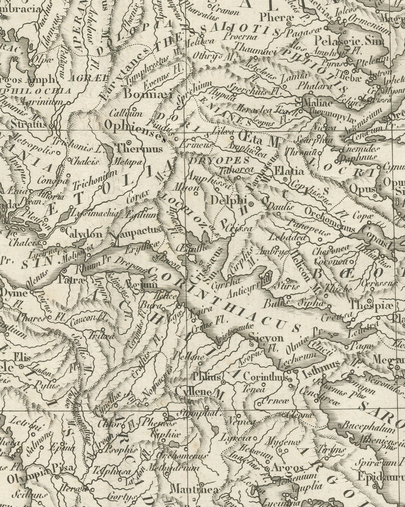
An original copper engraved map, uncolored, of mainland Greece from Illyris and Macedonia down to the Peloponnese, with Cephallenia and the Ionian islands to the west and Euboea and the western Cyclades to the east. Macedonia, Emathia, Thessalia, Aetolia, Boeotia, Attica, Arcadia, Argolis and Messenia are lettered across the land; Thessalonica, Delphi, Thebae, Athenae, Megara, Corinthus, Argos, Sparta, Olympia and Messene are placed, with Malea Pr. and Taenarum Pr. at the southern capes. The gulfs carry their Latin names, the Thermaicus Sinus, Corinthiacus, Saronicus Sinus and Argolicus Sinus among them. In the lower left corner a second map in its own frame carries the country north into Illyria and Macedonia, with Dardania, Paeonia, Pelagonia, Dyrrhachium, Lissus, Scupi, Stobi, Heraclea and Edessa.
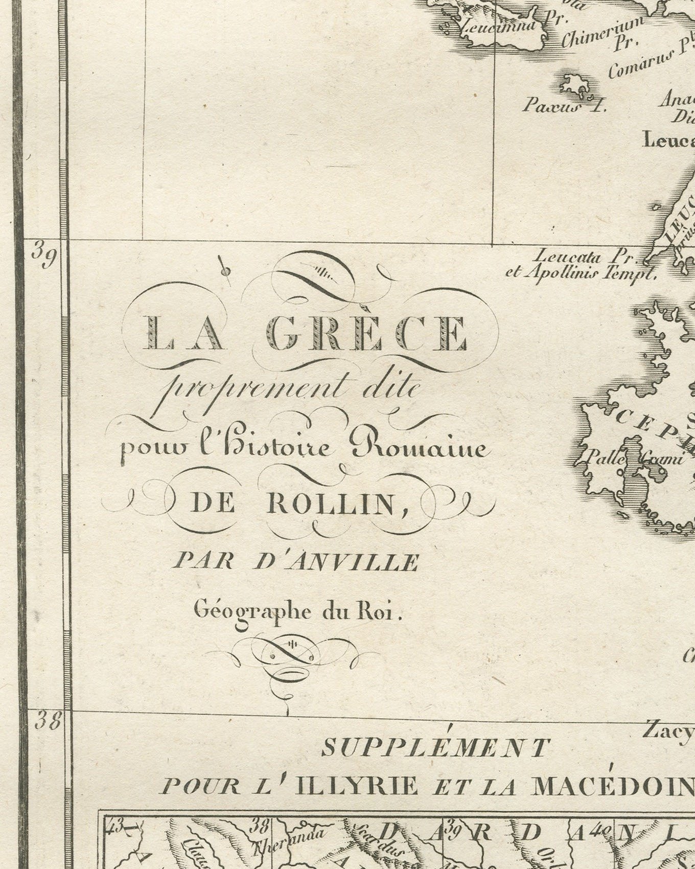
The cartouche at left reads La Grèce / proprement dite / pour l'Histoire Romaine / de Rollin, / par d'Anville / Géographe du Roi. The inset is headed Supplément pour l'Illyrie et la Macédoine. The plate number Pl. 23 is engraved above the upper right corner of the neatline. Three scale bars at lower right read Stades Olymp. de 94 Toi. 2 Pi. 8 Pou., Milles Romains de 755 Toi. et demie and Lieues Françaises de 2500 Toises.
The plate belongs to the Atlas de Géographie Ancienne, published in Paris in 1818 by Ledoux et Tenré and printed by Didot le jeune to accompany the works of Charles Rollin (1661 to 1741), author of the Histoire ancienne and the Histoire romaine. Its maps were engraved after the originals of Jean-Baptiste Bourguignon d'Anville (1697 to 1782). In the signed foreword Ambroise Tardieu, géographe-graveur, states that the maps were copied with religious fidelity and that, charged with revising the proofs, he had only to correct negligences and faults of execution.
This is an original antique map, not a modern reproduction. This item is sold unframed.