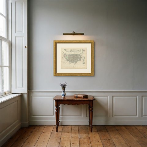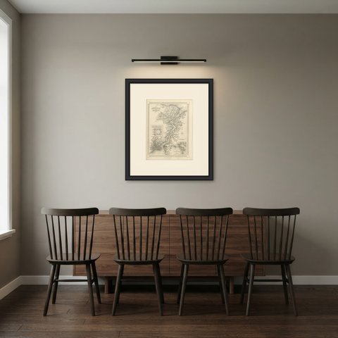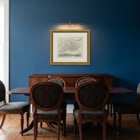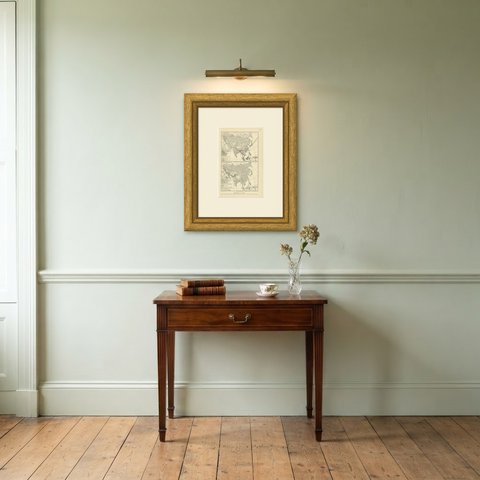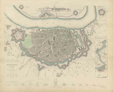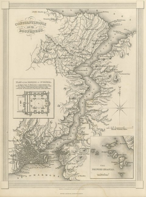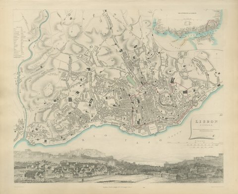
 The sheet, as you receive it
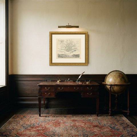
 In the room
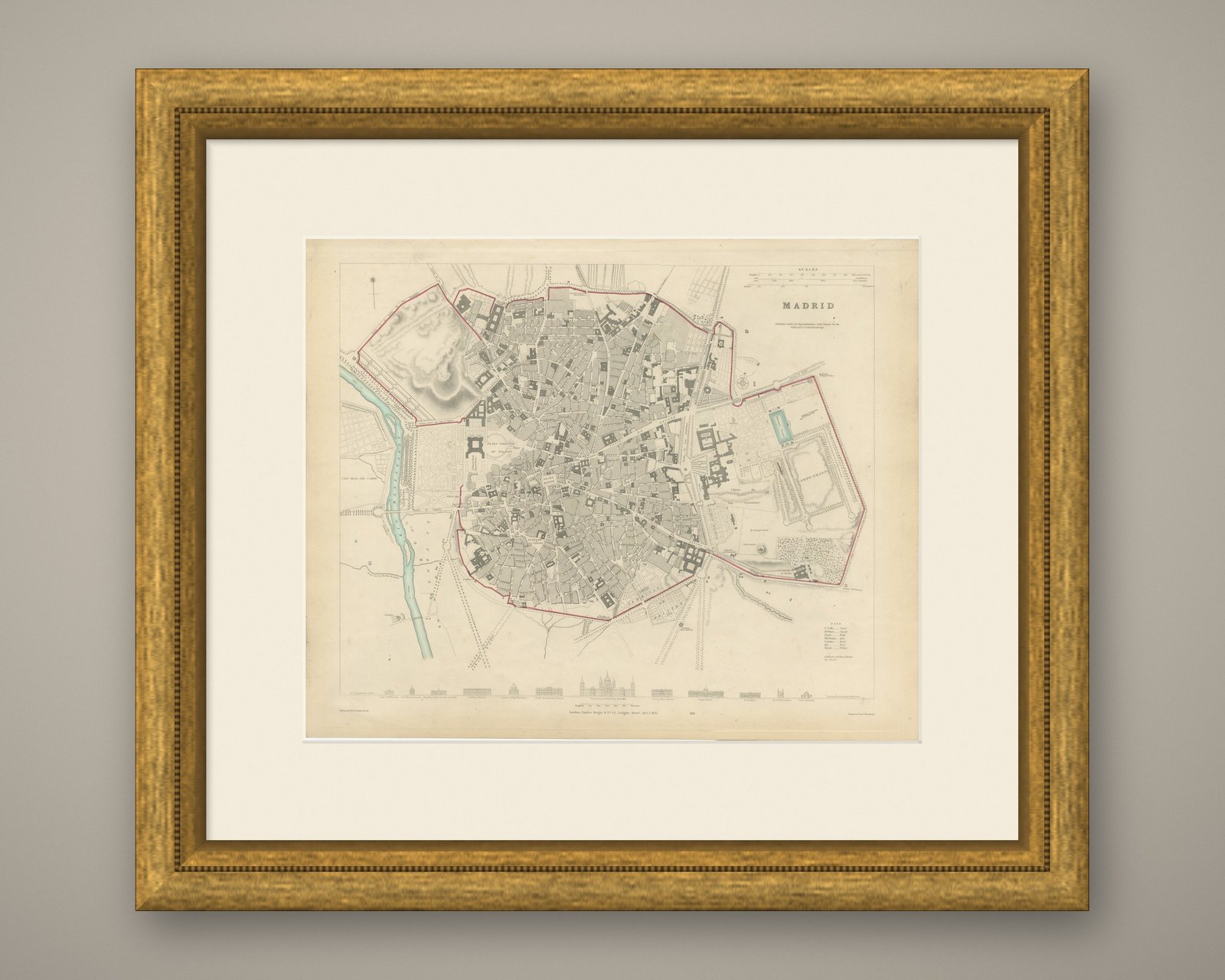
Interior designers: BarTrade members buy at their trade price. How it works
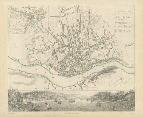
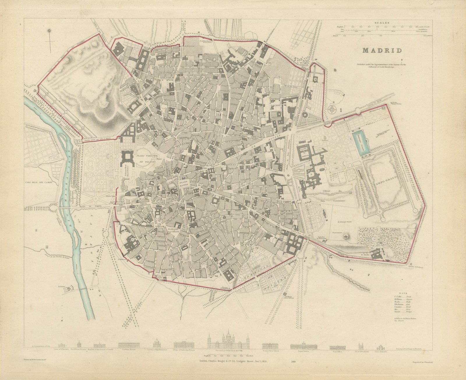
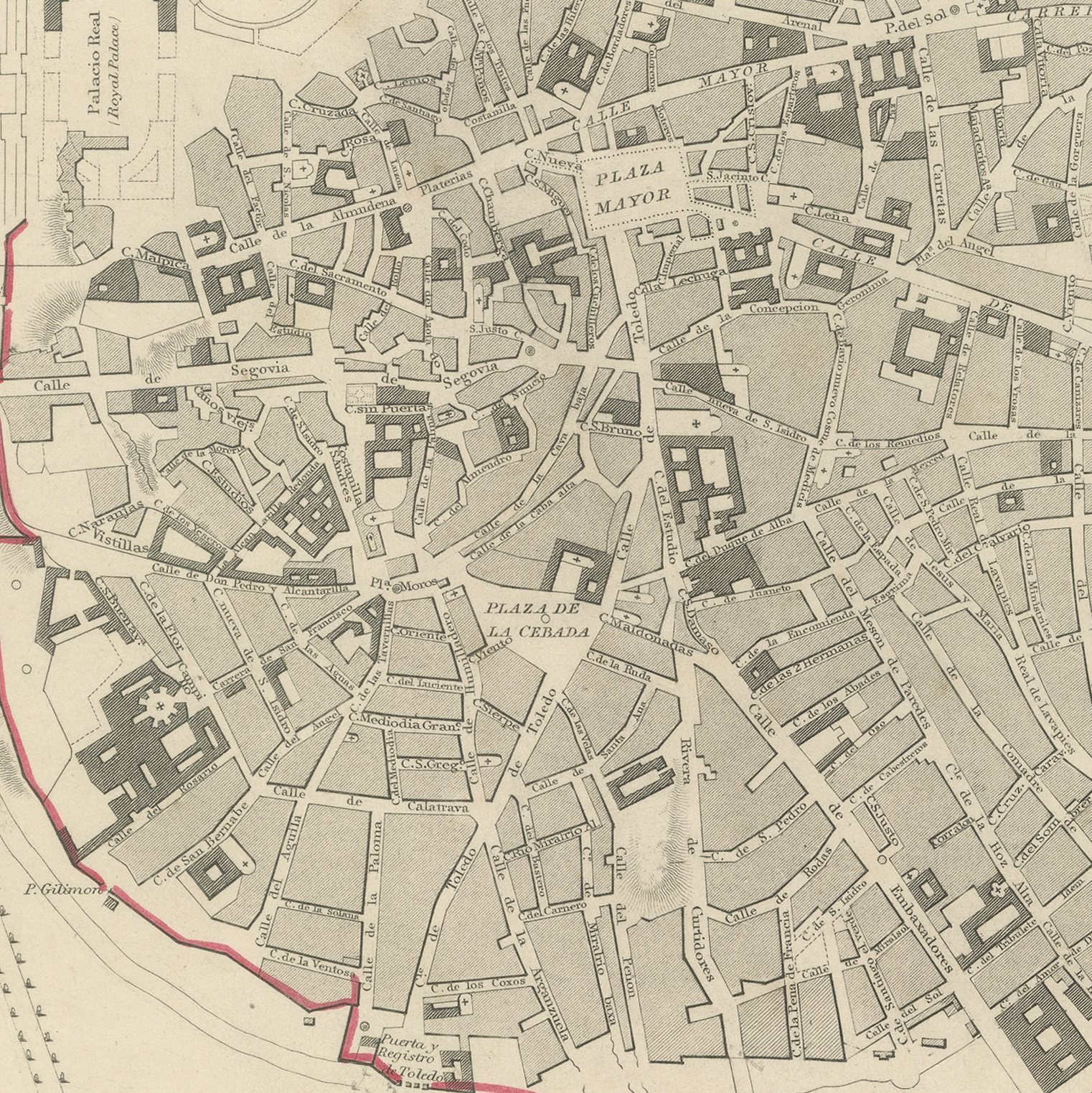
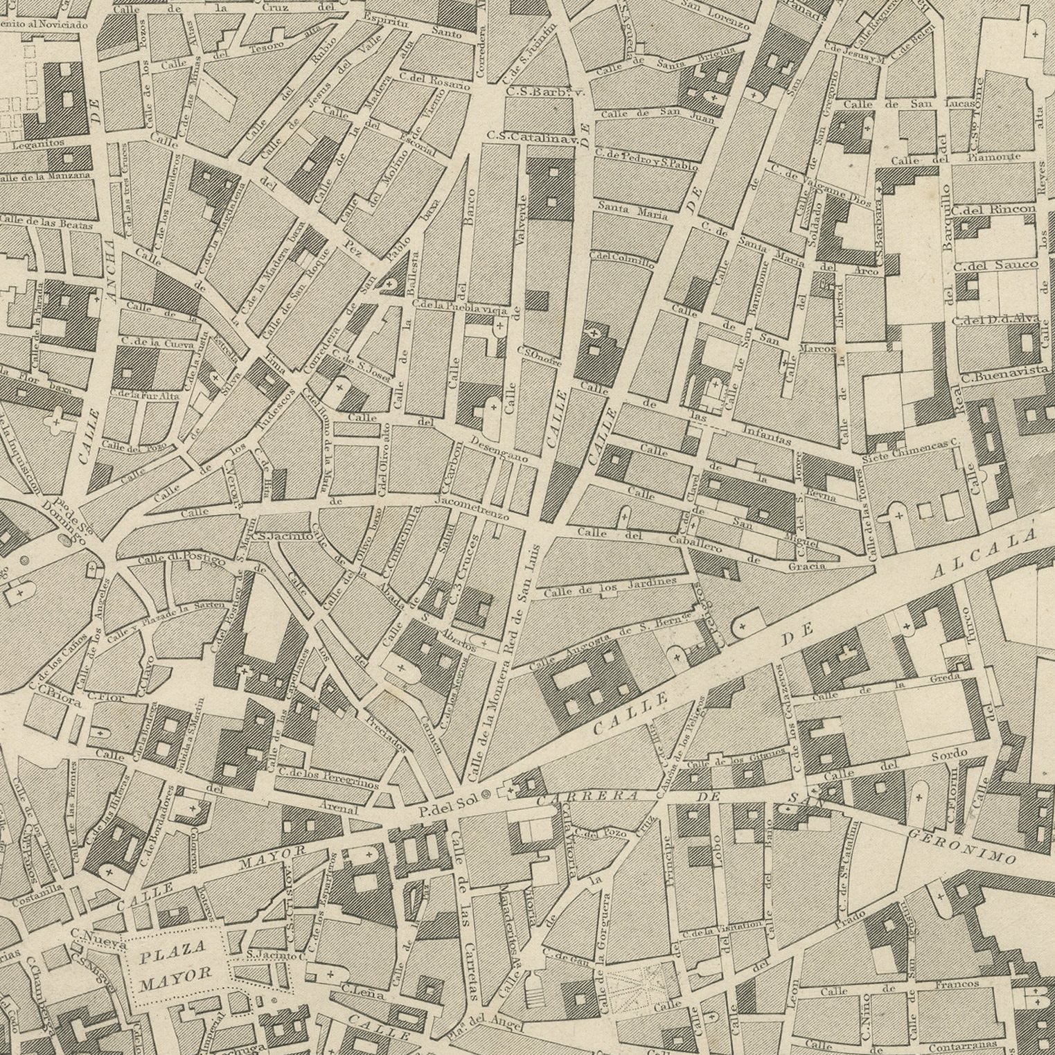
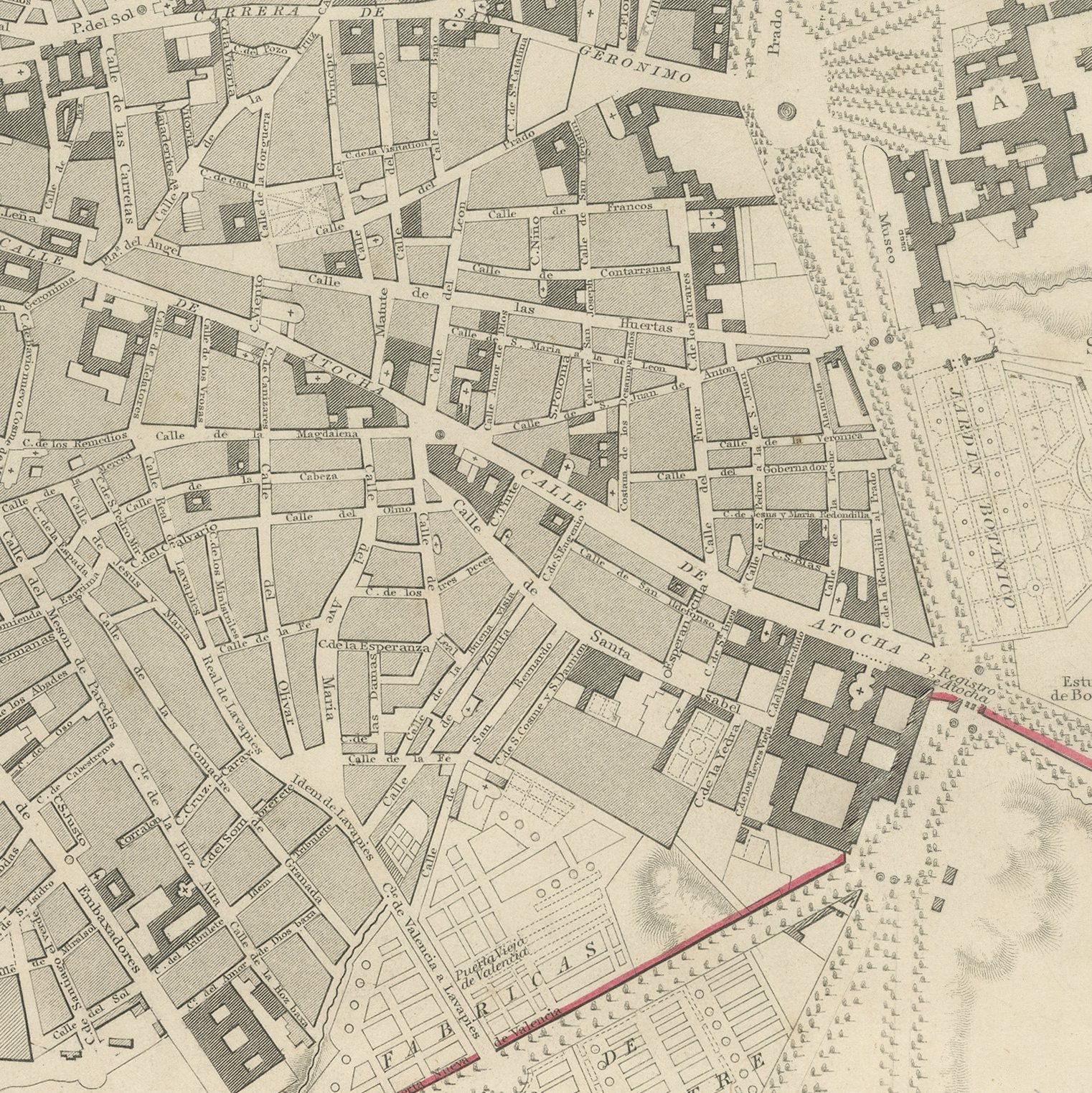
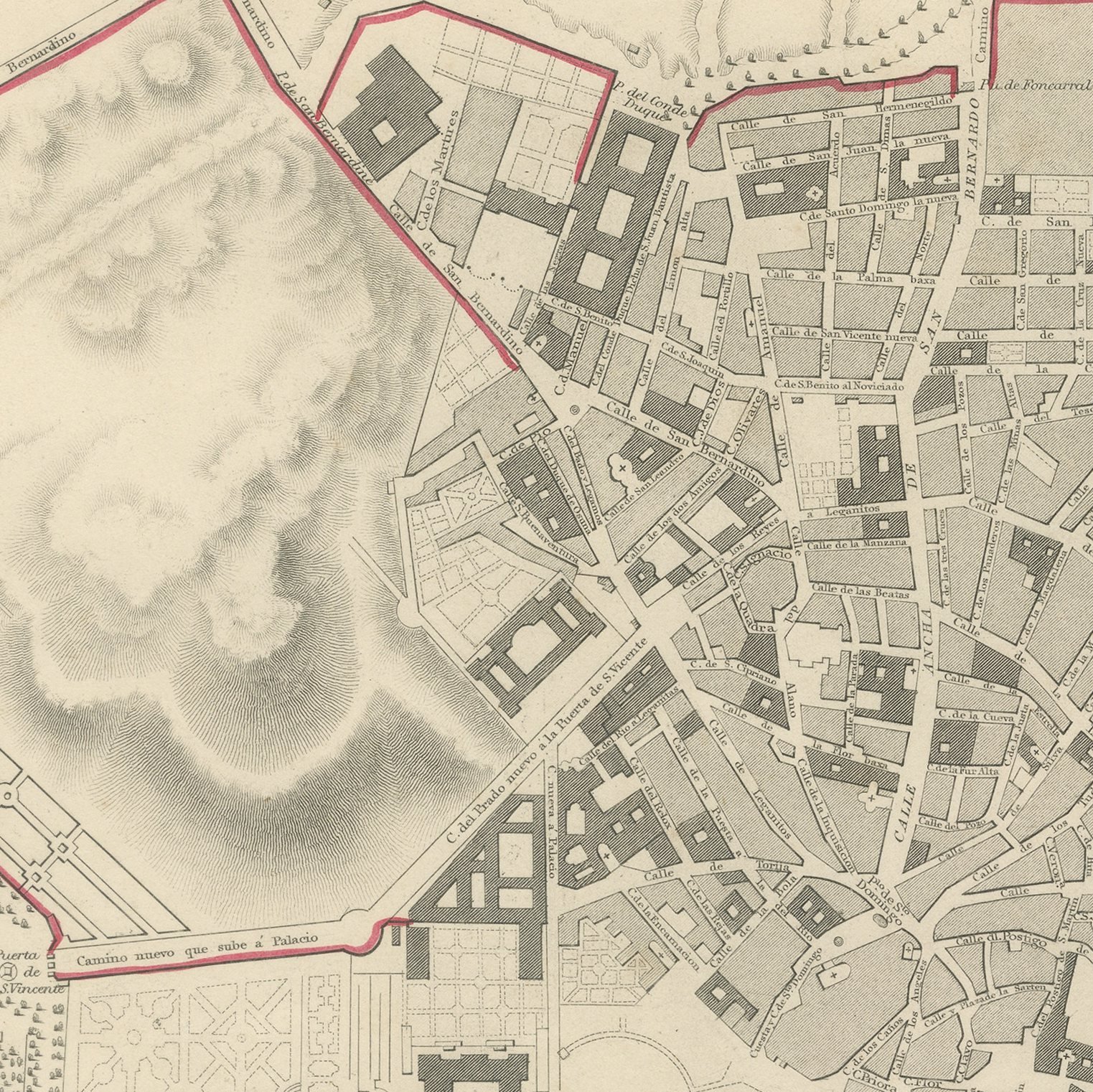
This is an original antique city plan of Madrid, steel engraved and published in the atlas of the Society for the Diffusion of Useful Knowledge. The plan shows the city inside its customs wall, with the Royal Palace and its gardens on the west above the Manzanares, the Plaza Mayor and the Puerta del Sol at the center, and the Prado walk and the Buen Retiro with its ornamental lake along the eastern edge. The Botanical Garden and the Observatory are marked and a band of elevations at the foot compares the principal buildings. The imprint is dated the first of December 1831. The outline and water coloring is original hand color, applied by the publisher before the sheet was bound into the volume.
It carries plate number 188 and belongs to the third volume of the Society for the Diffusion of Useful Knowledge atlas, the volume given over to plans of cities, the stars and the index to places, published by Charles Knight of 22 Ludgate Street in London in 1847. Knight took over the Society's map series and reissued it corrected, so the plates carry a range of dates within one set. The plate is lettered as drawn by W. B. Clarke and engraved by J. Henshall.
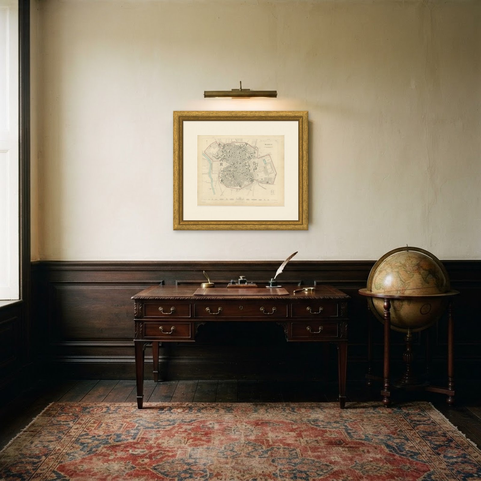
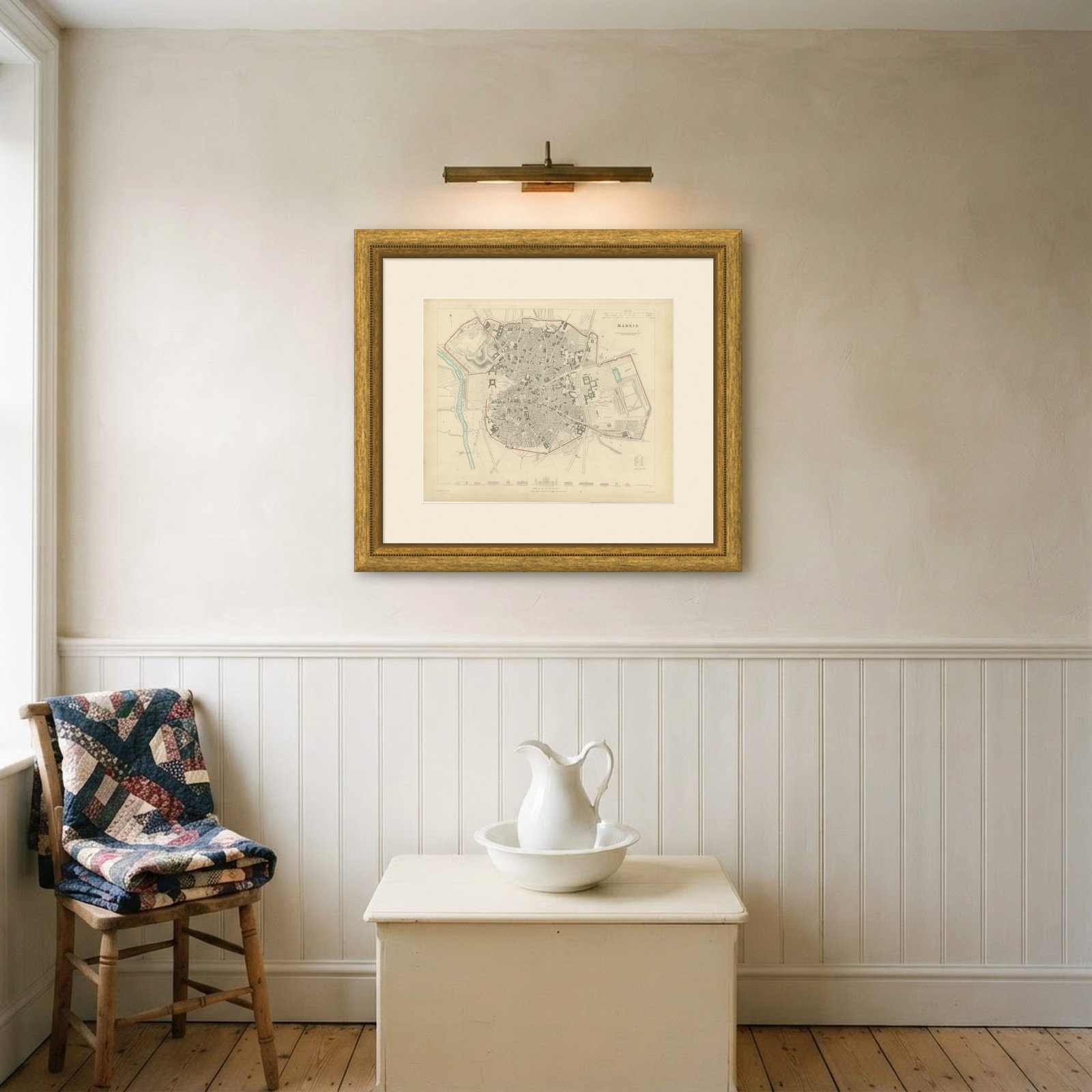
This is the Madrid of Ferdinand the Seventh, drawn two and a half years before the First Carlist War, with the Prado museum building shown but the city still contained inside its eighteenth century wall. It is one of the earliest dated plates in this volume and Spanish sheets are not easy to find. Framed simply in dark wood or a plain gilt frame it suits a study, a hallway or a dining room, and it is a natural gift for anyone with a tie to the place.
Light uneven toning, browner toward the edges. Handling soiling along the bottom, left and right edges. A few small foxing spots in the margin. All four corners complete.
This is an original antique map, not a modern reproduction. This item is sold unframed.