 The sheet, as you receive it
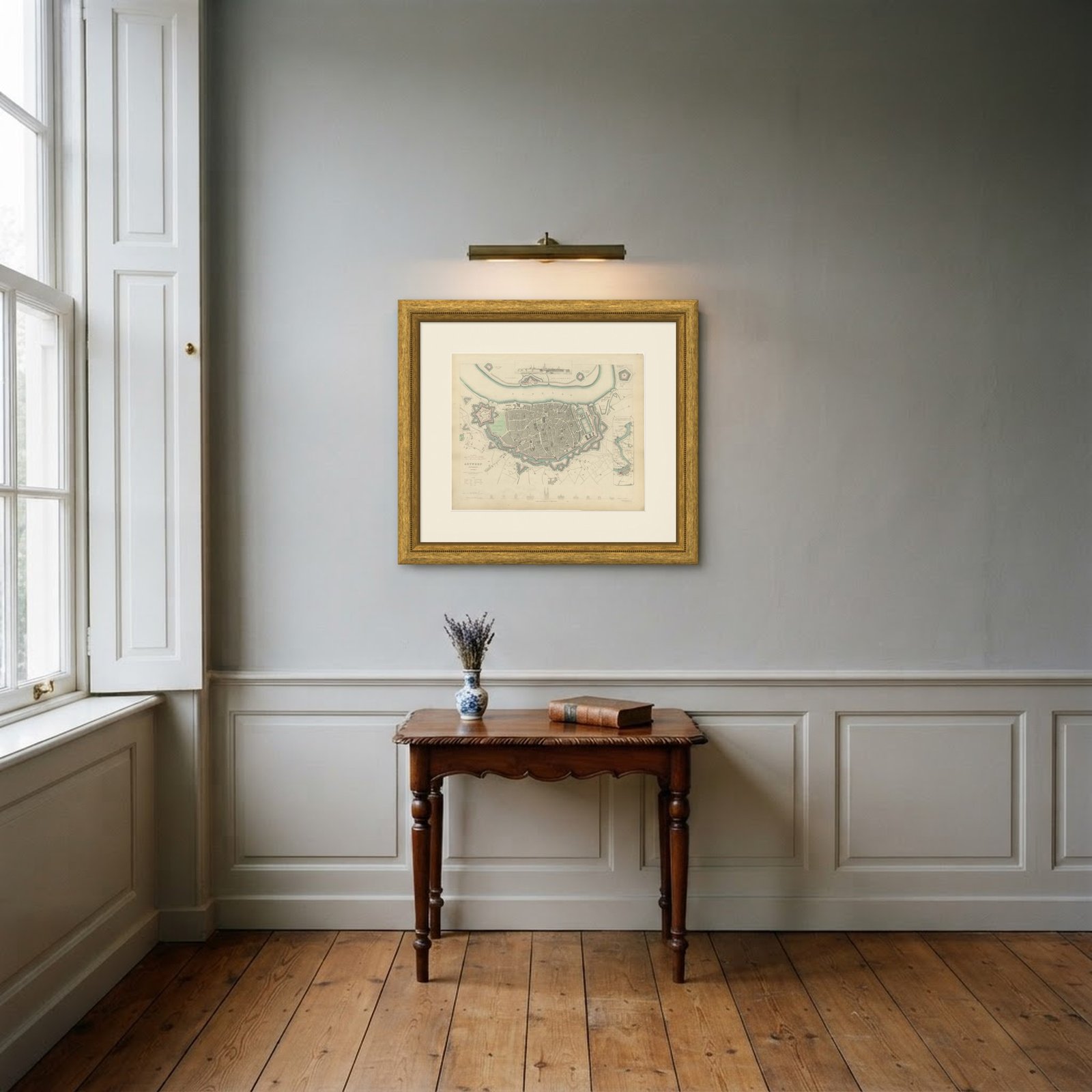 In the room
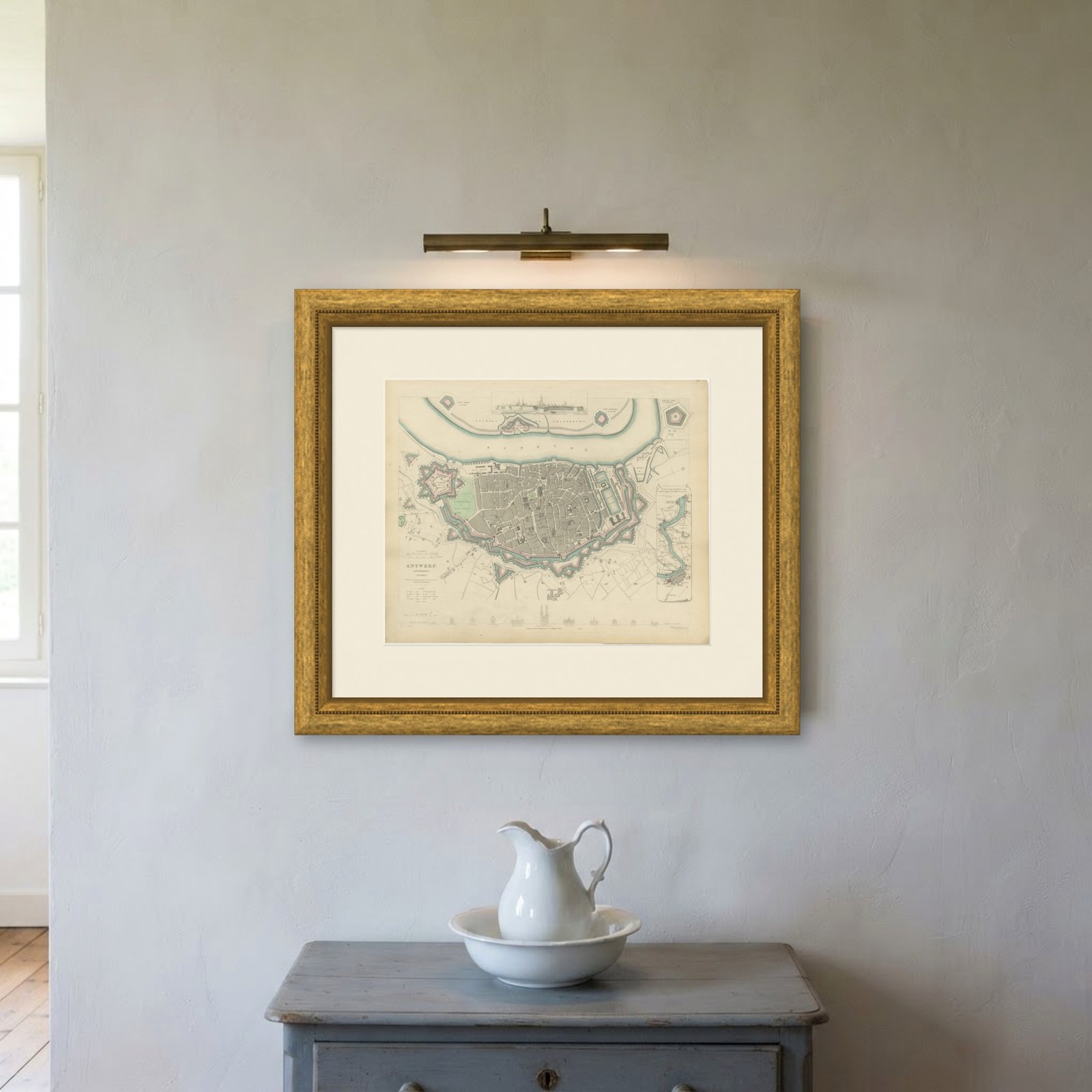
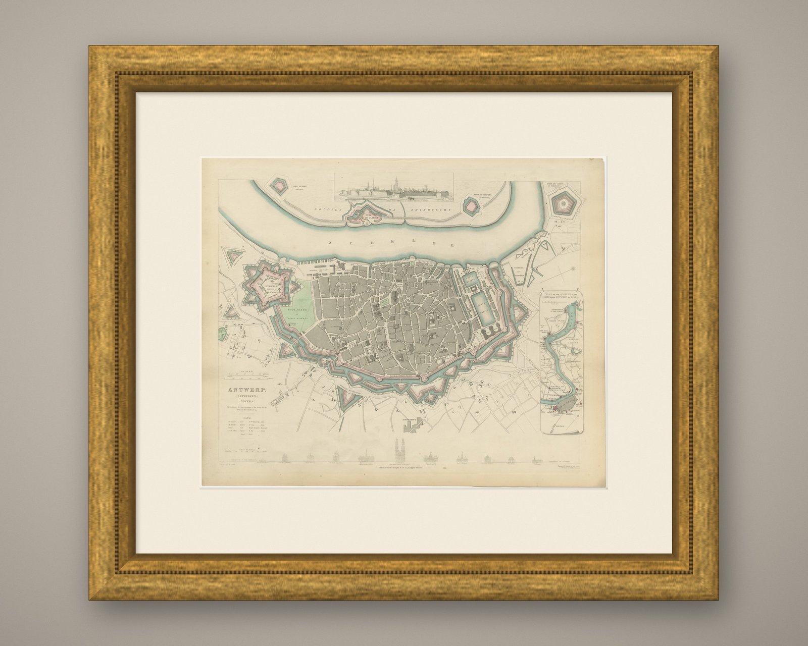
Interior designers: BarTrade members buy at their trade price. How it works
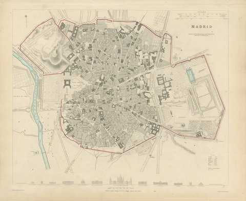
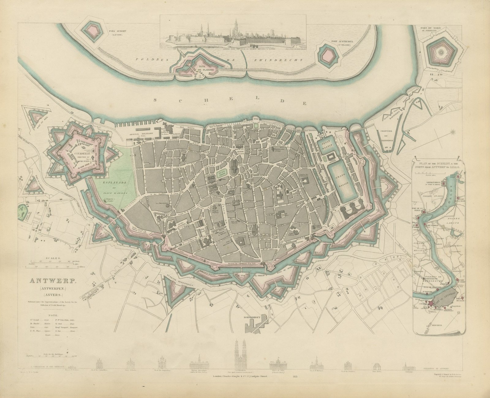
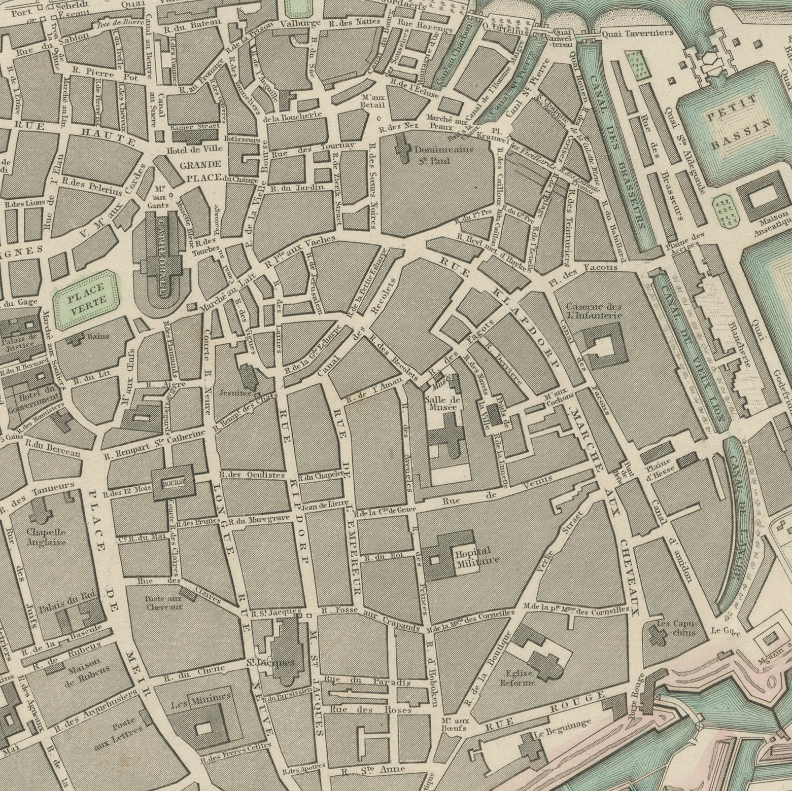
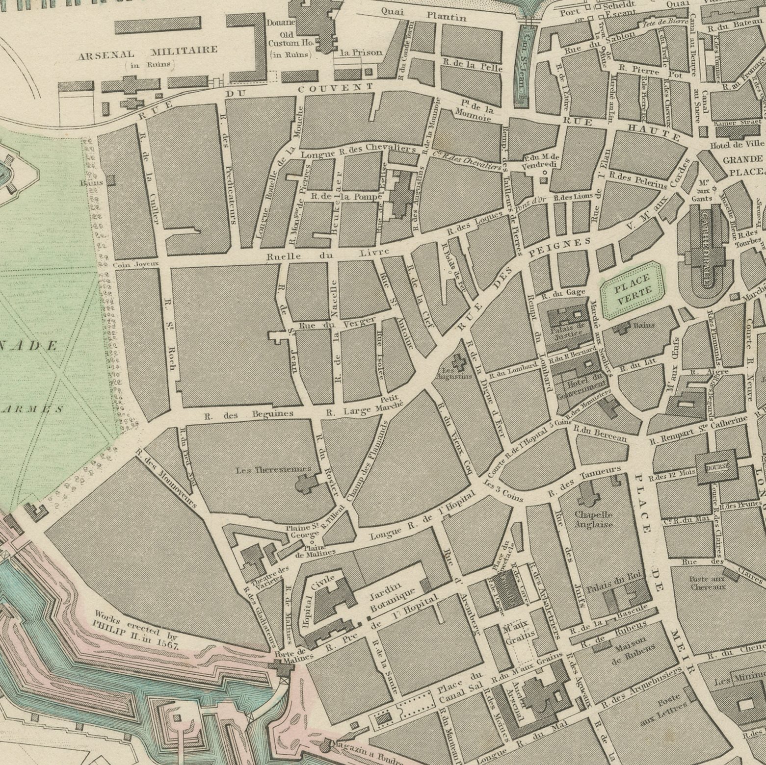
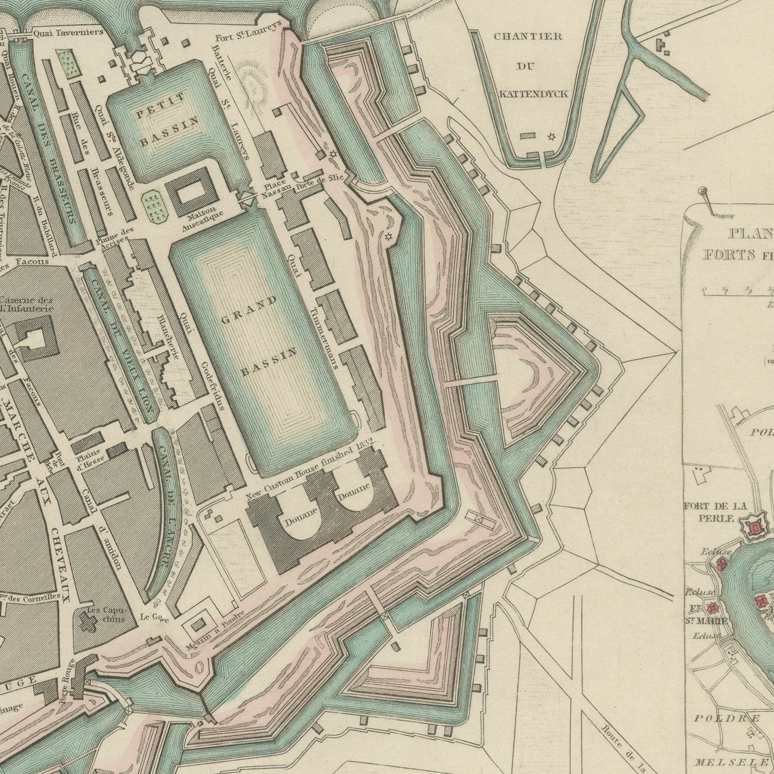
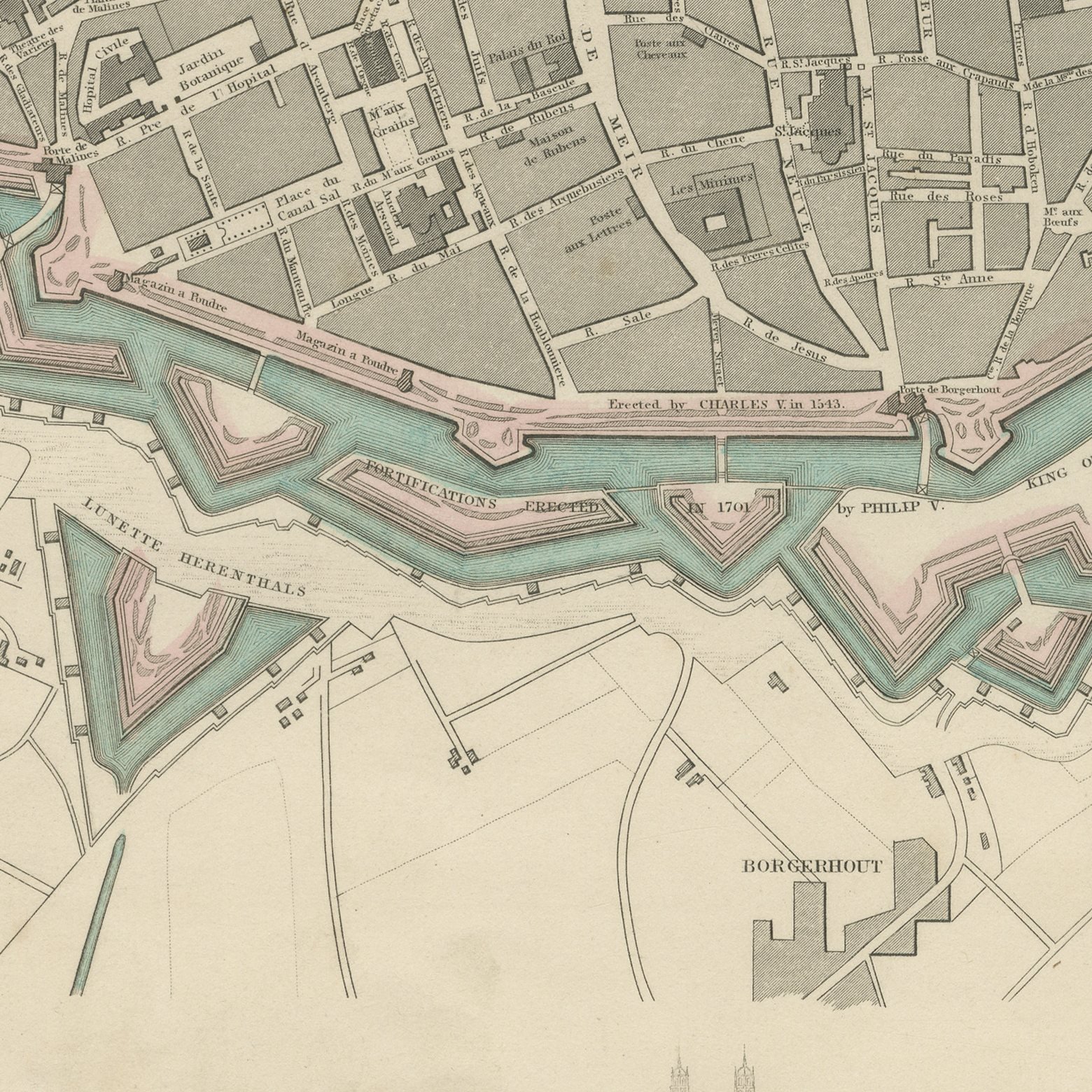
This is an original antique city plan of Antwerp, steel engraved and published in the atlas of the Society for the Diffusion of Useful Knowledge. Antwerp is drawn tight against the bend of the Scheldt, with the great star shaped Citadel to the south and the city walls closing the land side. An inset gives the plan of the Scheldt and the forts from Antwerp down to Lillo, a long view of the city runs across the sheet, and the foot carries elevations of the principal buildings, including the Cathedral of Our Lady and the Hotel de Ville. The outline and water coloring is original hand color, applied by the publisher before the sheet was bound into the volume.
Plate number 163 of the third volume of the Society's atlas, published in London by Charles Knight and Company at 22 Ludgate Street in 1847 and lettered as a new edition corrected to the present time. The Society was founded in 1826 by Lord Brougham to put reliable knowledge within reach of ordinary readers, and its maps were the most accurate cheap maps then available in English. The plate is lettered as drawn by W. B. Clarke and engraved and printed by B. R. Davies.
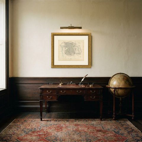
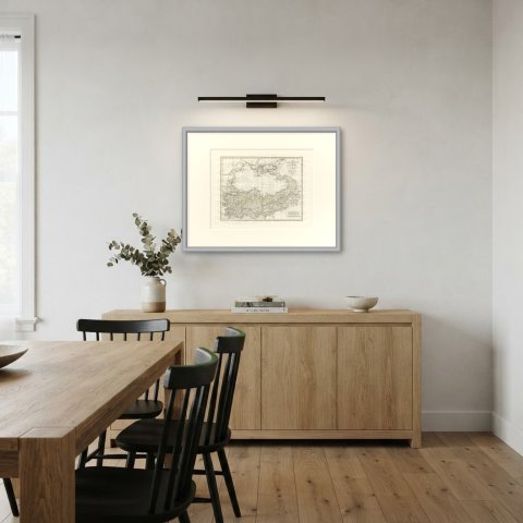
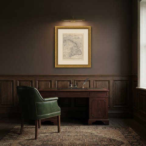
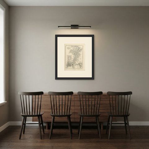
The Citadel shown here is the one Chasse defended in the siege of 1832, so the sheet records a fortification that was still recent news when it was engraved. It is a satisfying plan to hang for anyone with a Flemish connection, and the river inset gives it an unusual second subject. Framed simply in dark wood or a plain gilt frame it suits a study, a hallway or a dining room, and it is a natural gift for anyone with a tie to the place.
Light uneven toning, browner toward the edges. Handling soiling along the bottom, left and right edges. A few small foxing spots in the margin. All four corners complete.
This is an original antique map, not a modern reproduction. This item is sold unframed.