Madder & Ochre
✦
Black Friday Sale now on
Up to 30% off original antique maps and prints, until Monday 30 November
The terms
- Up to 30% off selected original antique maps and prints. Every piece is an original, printed in its own time; none is a reproduction.
- The sale runs until Monday 30 November. Prices revert on Tuesday 1 December.
- Free FedEx shipping on qualifying orders placed on our own websites: USA, Canada, UK and Europe over $500 / €450; rest of the world over $750 / €675. Smaller orders pay our normal shipping rate.
- Orders placed from 15 to 30 November ship from 1 December, in time for Christmas. Our shipping partner is InXpress.
- Each piece is unique, so the sale is while stock lasts.
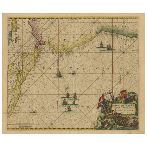 Sea Chart of Central America and the Northwest Coast of South America, ca.1745
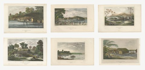 Six Original Hand-Colored Views of Dorey Harbor, New Guinea, de Sainson, 1833
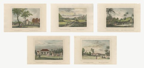 Five Hand-Colored Views of Java and Batavia, van de Velde, circa 1844
 Red-Crested Cardinal - Antique Hand-Colored Print with William Hayes Sign, 1780
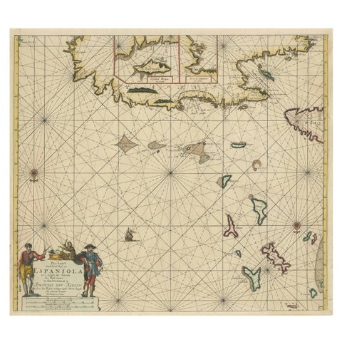 Original Antique Sea Chart - the Northern Part of Hispaniola, Western Cuba, 1684
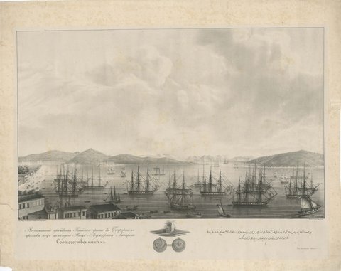 Russian Fleet in the Bosphorus under Vice Admiral Lazarev, circa 1833
 Large Old Hand-Colored Print of Northern Cardinals from Northern America, 1869
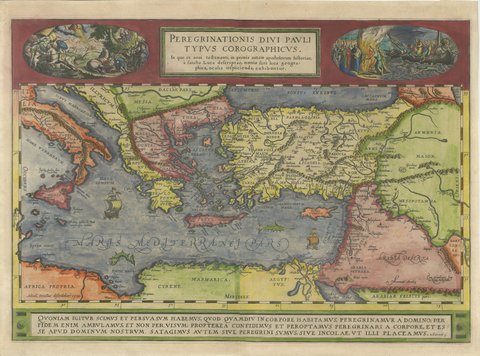 The Travels of Saint Paul, Antique Map by Abraham Ortelius, circa 1590
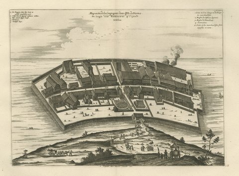 Deshima in Nagasaki Harbor, van der Aa Bird's-Eye View, circa 1710
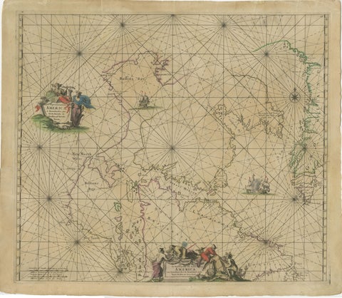 1690 Frederick de Wit Sea Chart of Hudson Bay, Baffin Bay and Greenland
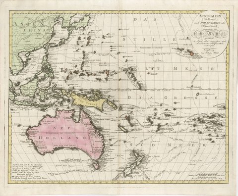 Antique Map of Australia and Polynesia with Cook's Voyages, Walch, 1802
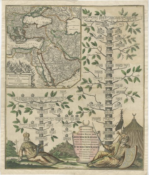 Greek and Turkish Emperors Family Tree with Map, Seutter, circa 1720
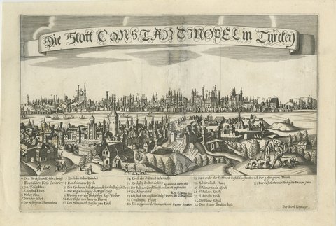 Antique Panorama of Constantinople with Numbered Key, circa 1685
 West Elevation of Hagia Sophia in Constantinople, Engraving, 1776
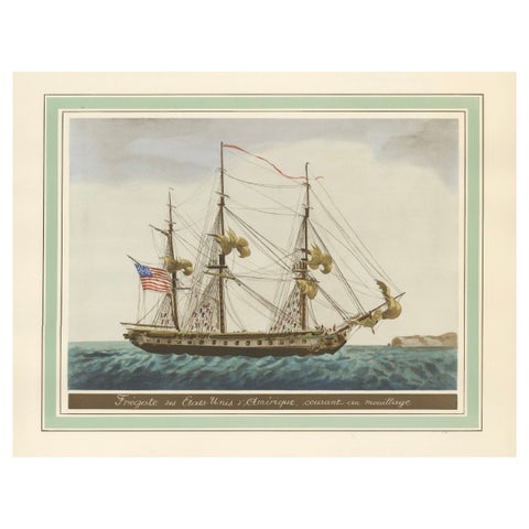 Approaching Safe Harbor: The American Frigate's Return, circa 1920
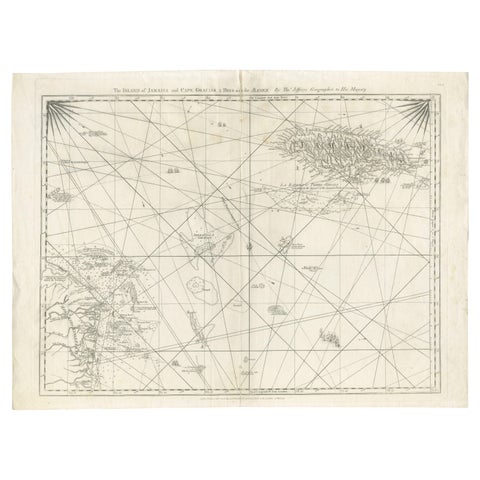 Navigational Chart of Jamaica, Cape Gracias a Dios, and the Mosquito Coast, 1775