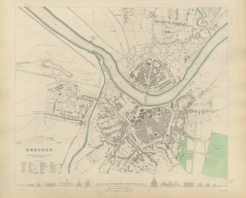
 The sheet, as you receive it
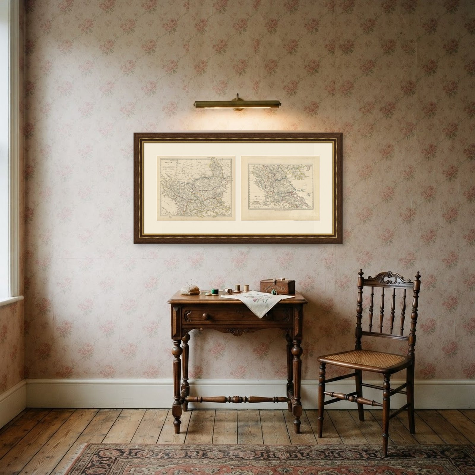 In the room 1
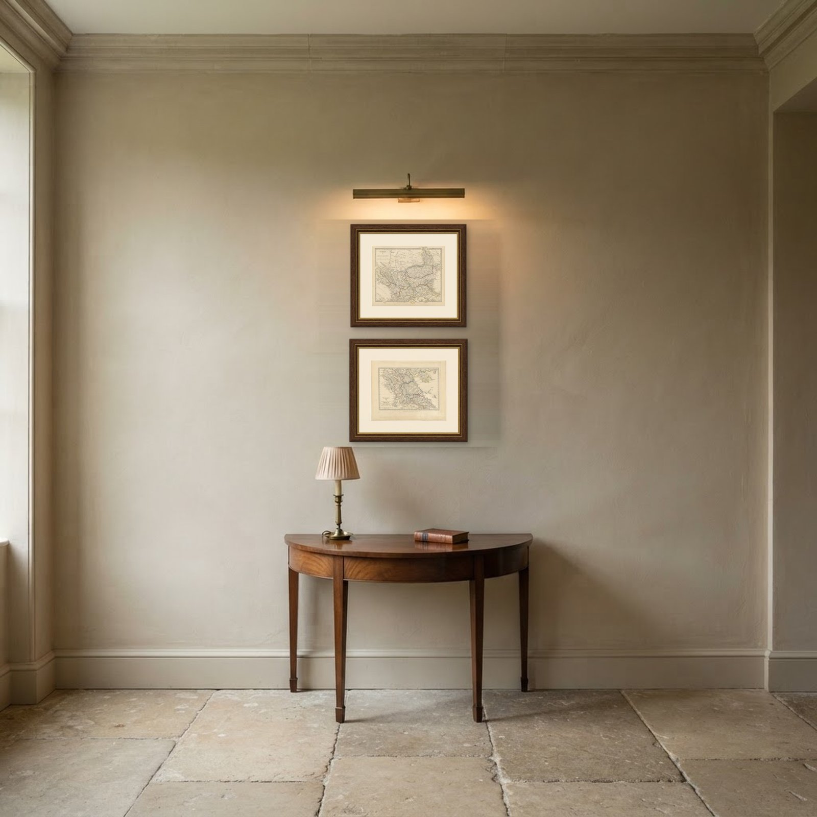
Interior designers: BarTrade members buy at their trade price. How it works
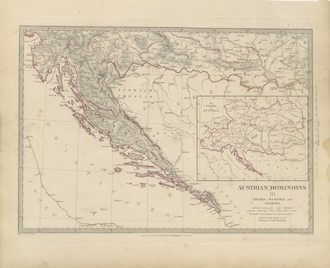
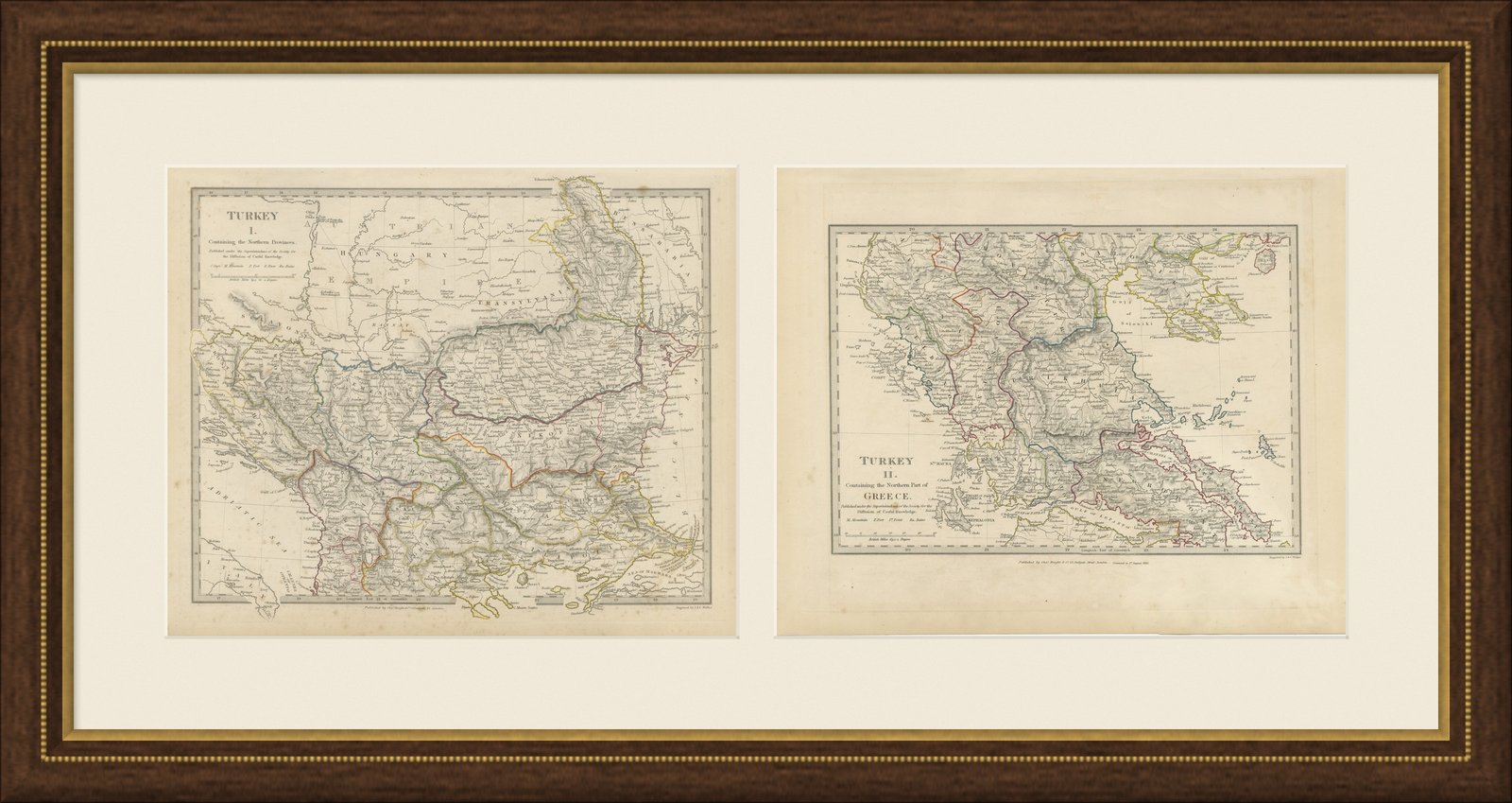
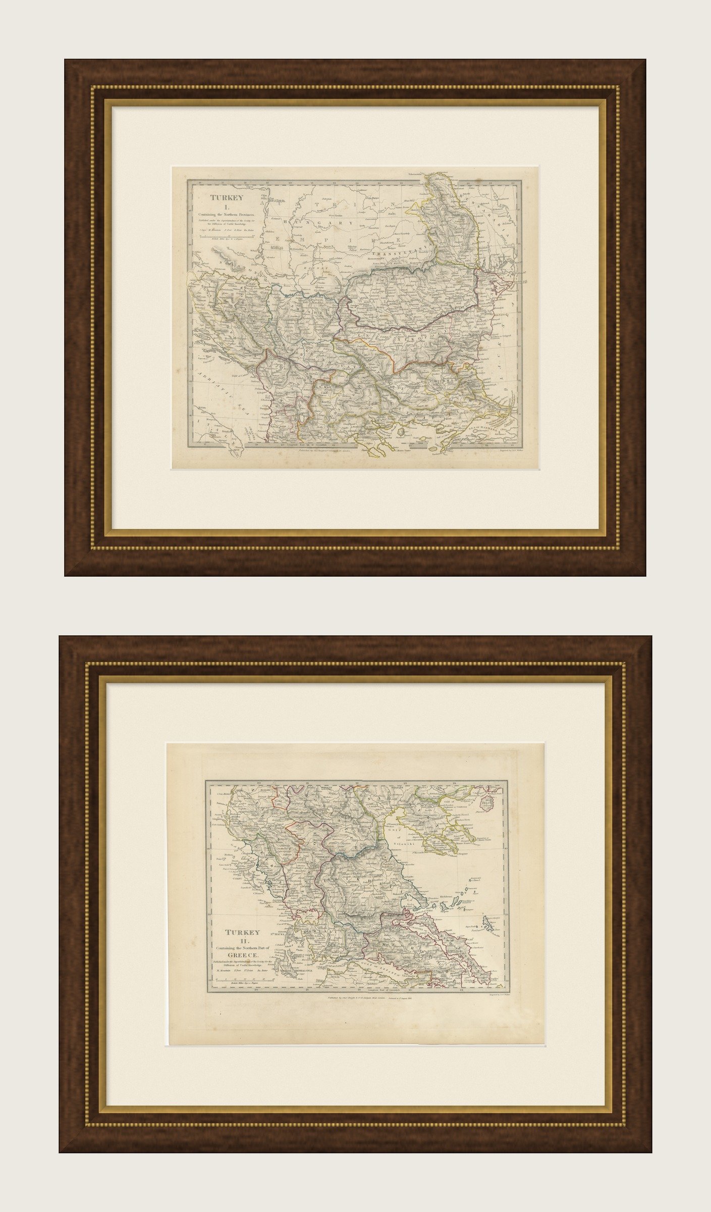
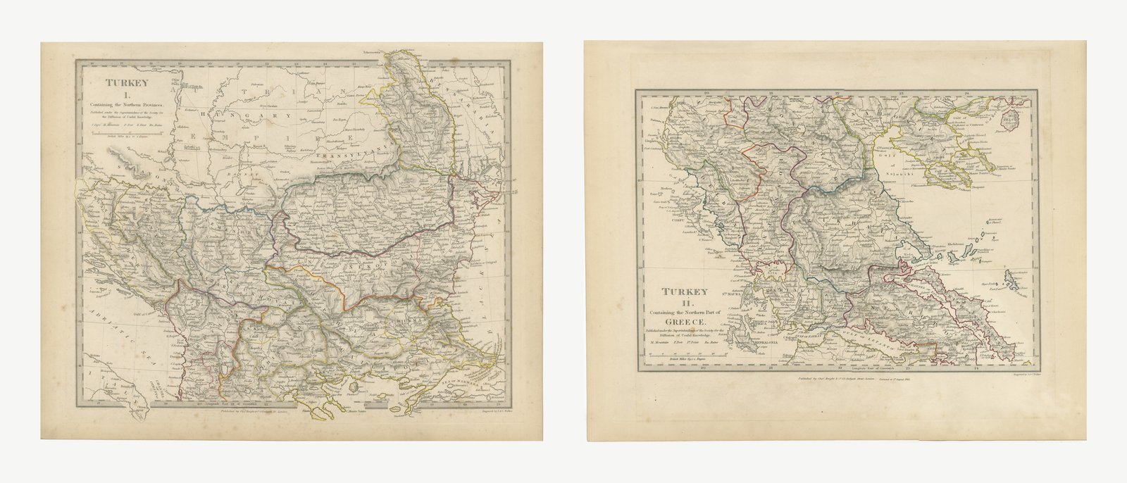
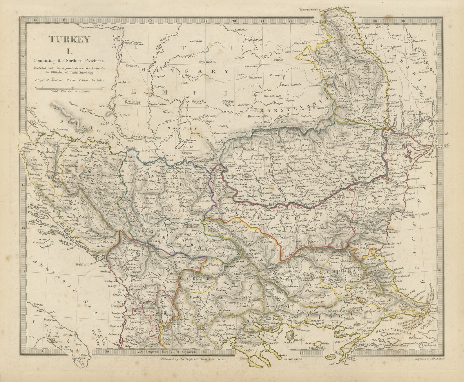
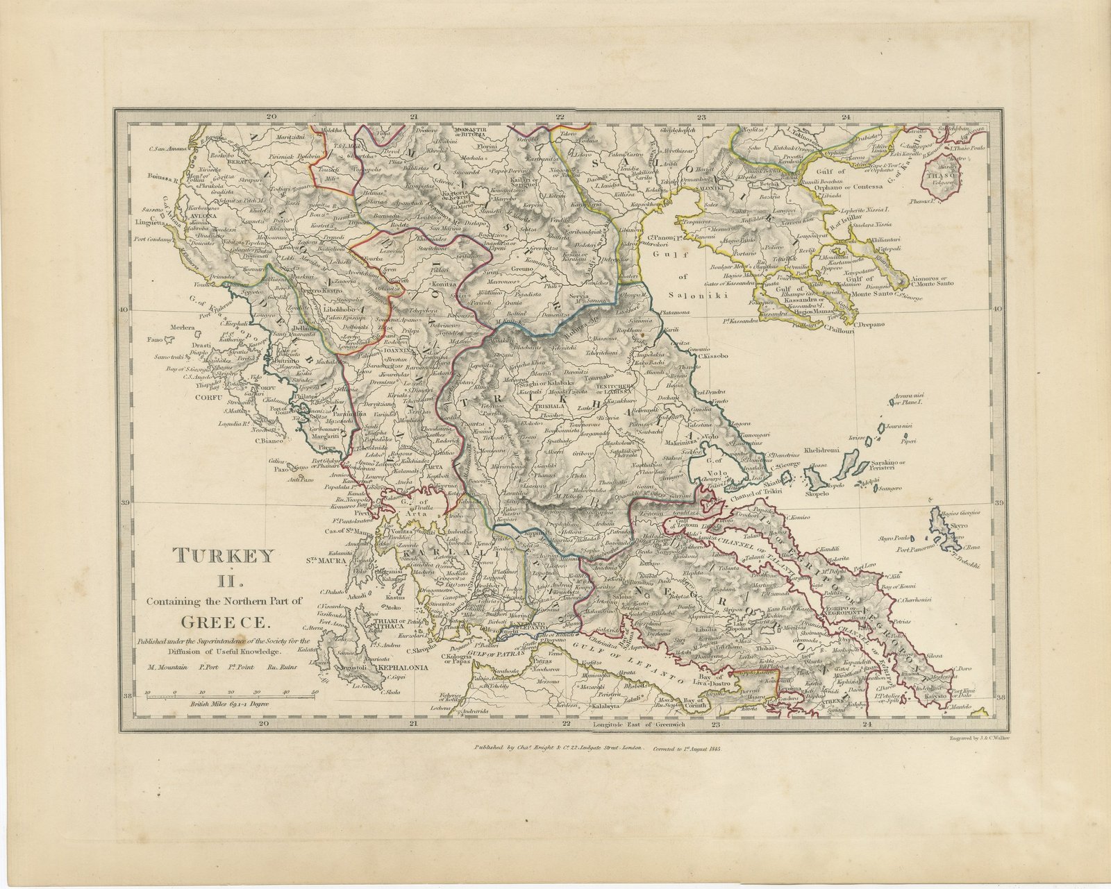
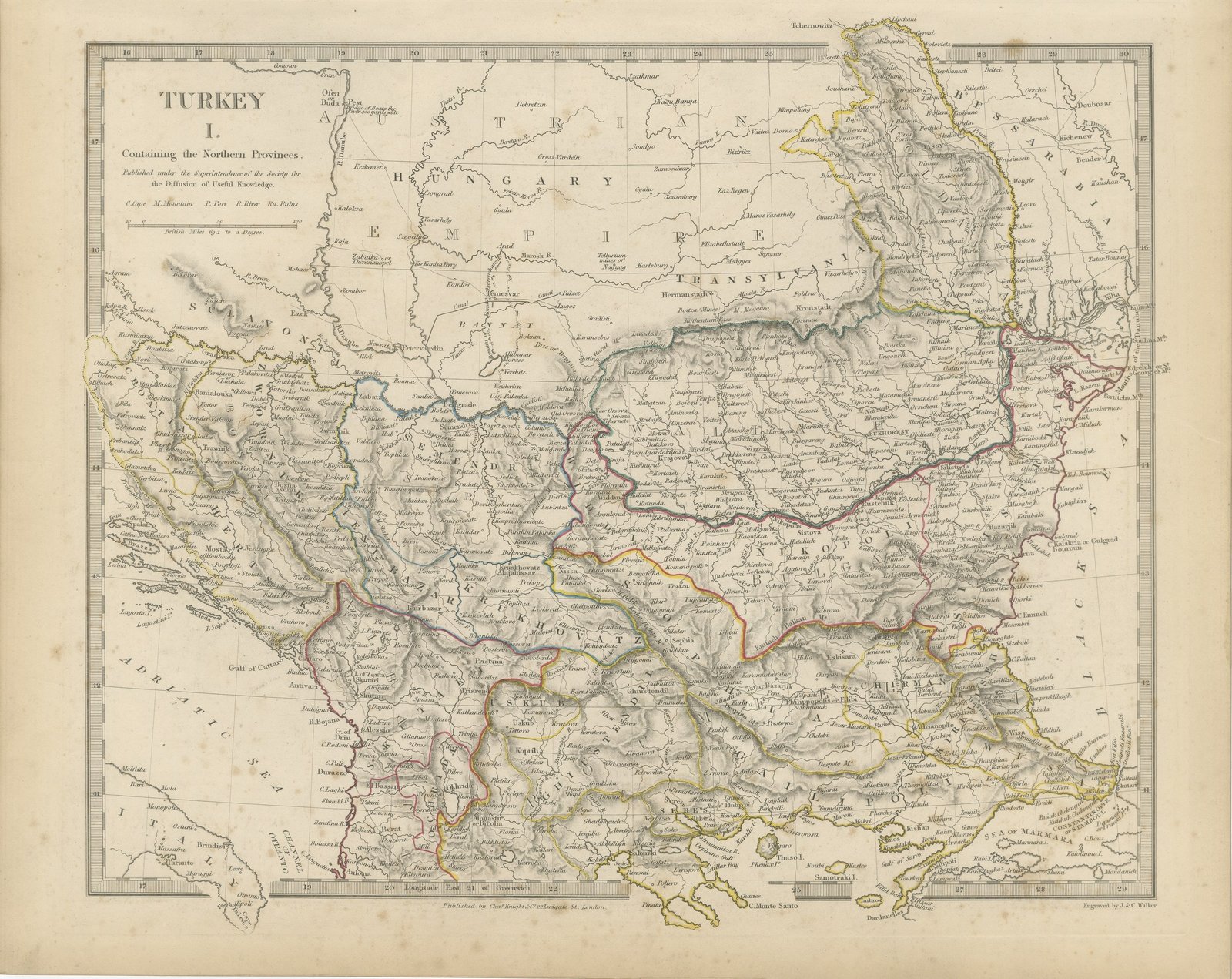
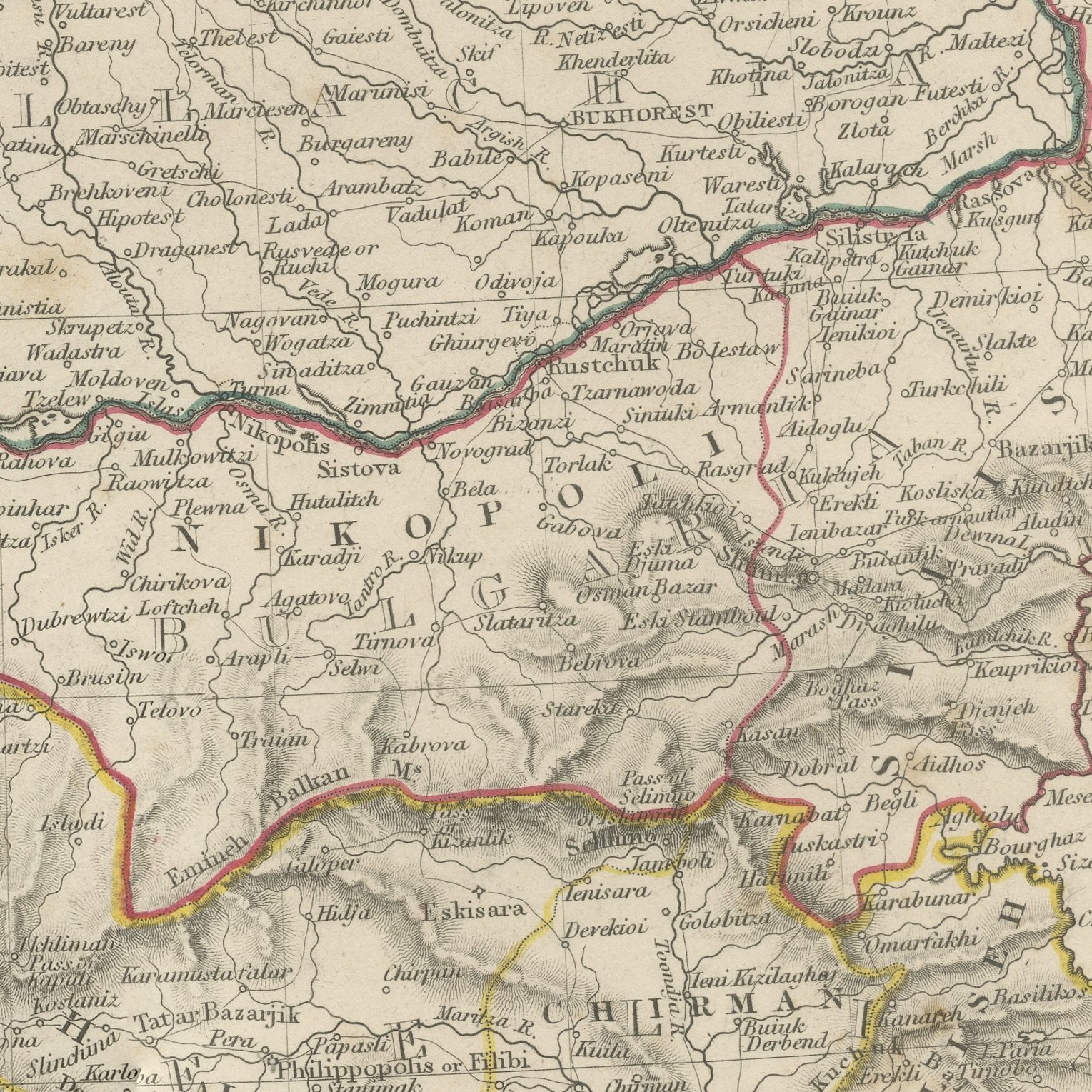
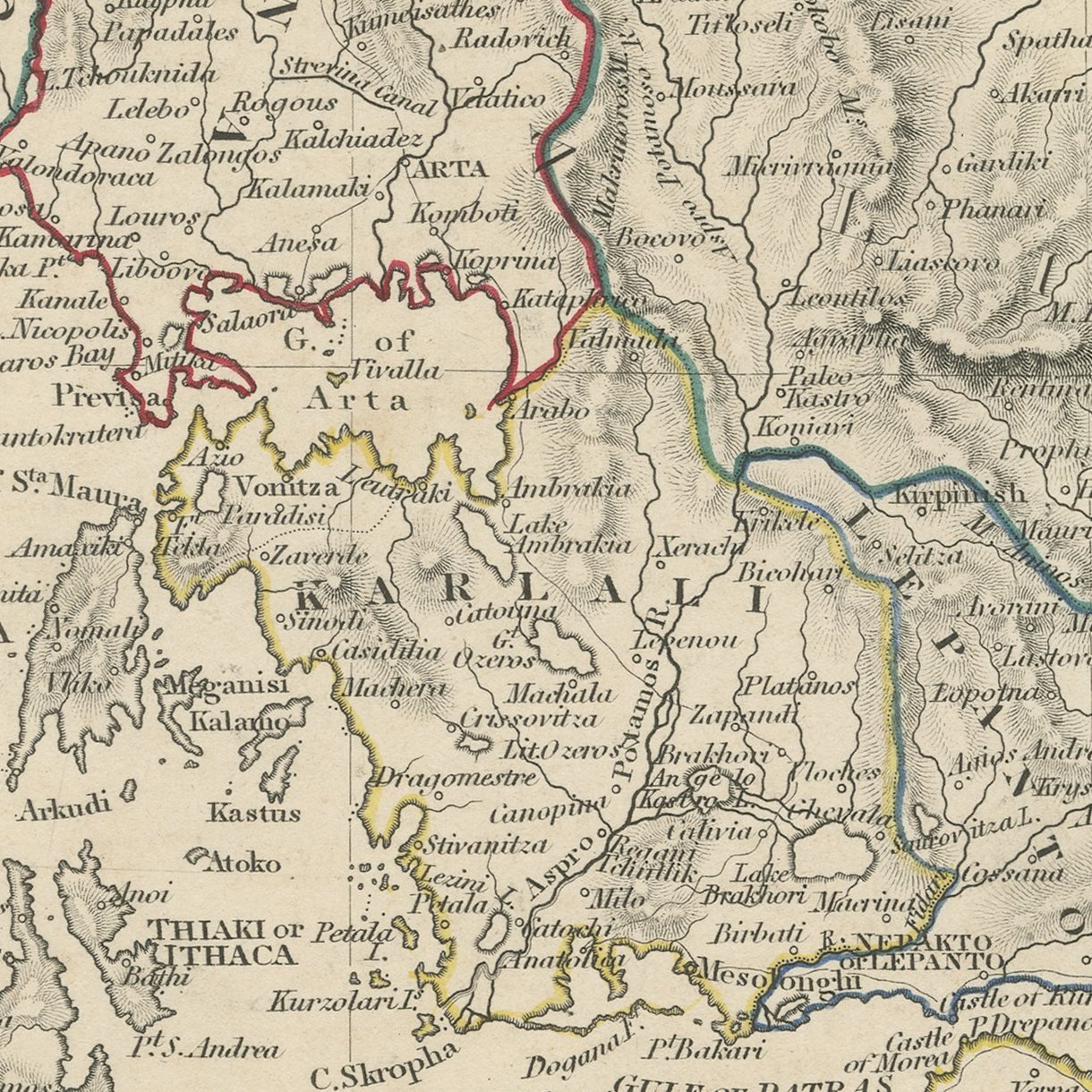
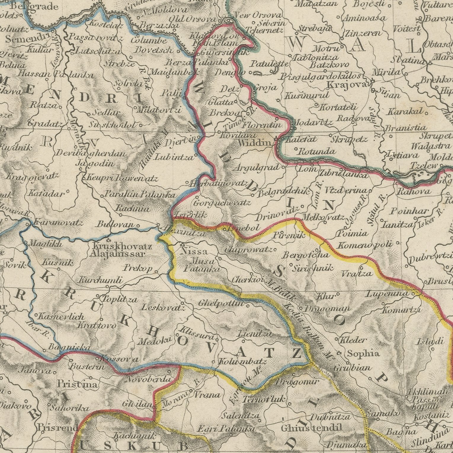
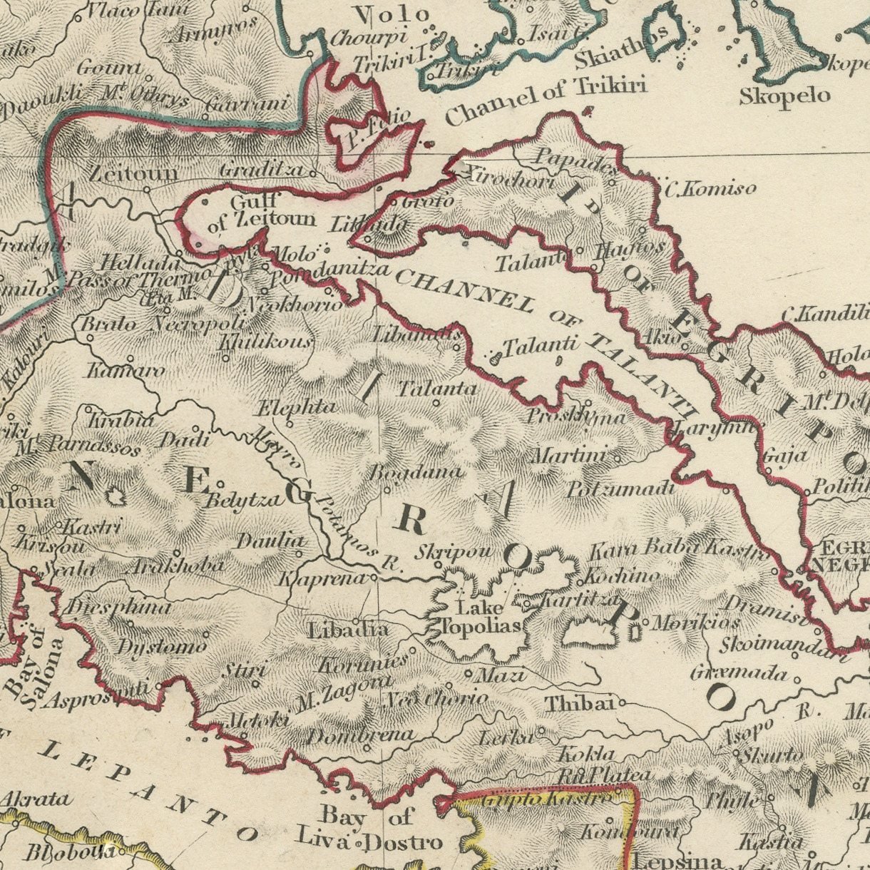
This is an original antique map of Turkey in Europe on the two sheets on which the Society for the Diffusion of Useful Knowledge printed it, offered together as one set. The first sheet covers the northern provinces, with Bosnia, Servia and Bulgaria across the center, Belgrade, Sarajevo, Nish, Sophia and Shumla marked, Albania running down the Adriatic with Scutari, Durazzo and the Gulf of Cattaro, and Rumelia and Macedonia carrying the sheet south east to Adrianople, Salonichi and Constantinople on the Sea of Marmara, with Moldavia and Wallachia beyond the Danube. The second sheet, corrected to the first of August 1845, takes up below it and covers the northern part of Greece, with Macedonia and the Gulf of Salonika, the three peninsulas of Chalcidice and Monte Santo, Thessaly with Larissa and Trikkala, Epirus with Janina, Arta and Prevesa, and the Ionian islands of Corfu, Santa Maura, Kephalonia and Ithaca in red off the western coast. Both sheets are horizontal, both give the Balkan and Pindus ranges in strong hachure, and both carry hand applied color along the provincial boundaries.
The sheets come from Maps of the Society for the Diffusion of Useful Knowledge, in the new edition corrected to the present time that Charles Knight and Company published at 22 Ludgate Street, London, in 1845, whose first volume covers Europe. The Society was founded in 1826 by Henry Brougham and his circle to publish useful knowledge at a low price. Its maps were issued in parts from 1829, first by Baldwin and Cradock, from 1842 by Chapman and Hall and then by Charles Knight, and the series grew to about two hundred maps. Most of them were engraved on steel by John and Charles Walker, and the outline color was applied by hand.
The sheets of this set belong to one map and are sold together.
Two sheets, both age toned. Foxing in the margins of all of them. Handling wear to the corners of all of them.
The set is two original sheets sold together, never split. These are original antique maps, not modern reproductions. This item is sold unframed.