 The sheet, as you receive it
 In the room
Interior designers: BarTrade members buy at their trade price. How it works
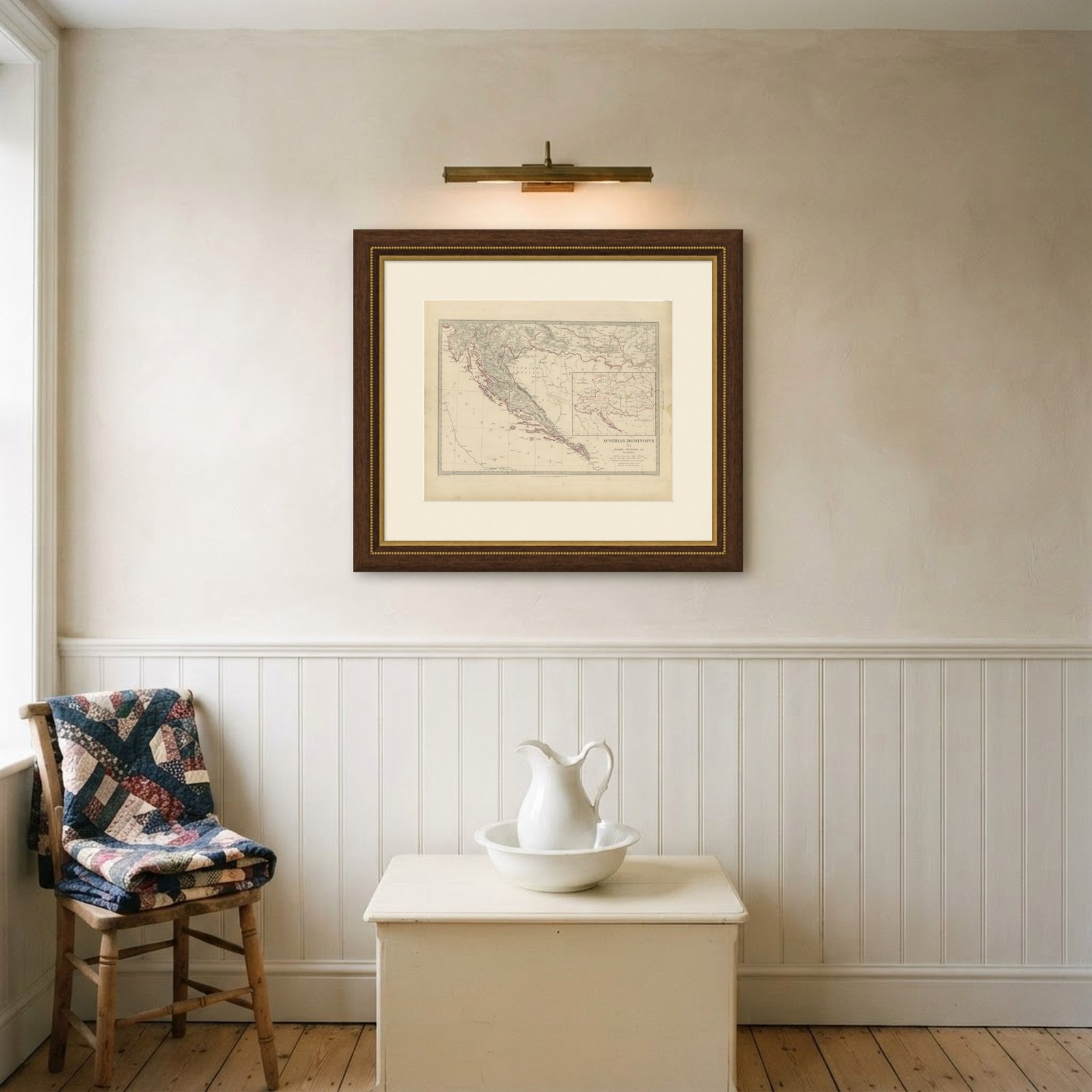
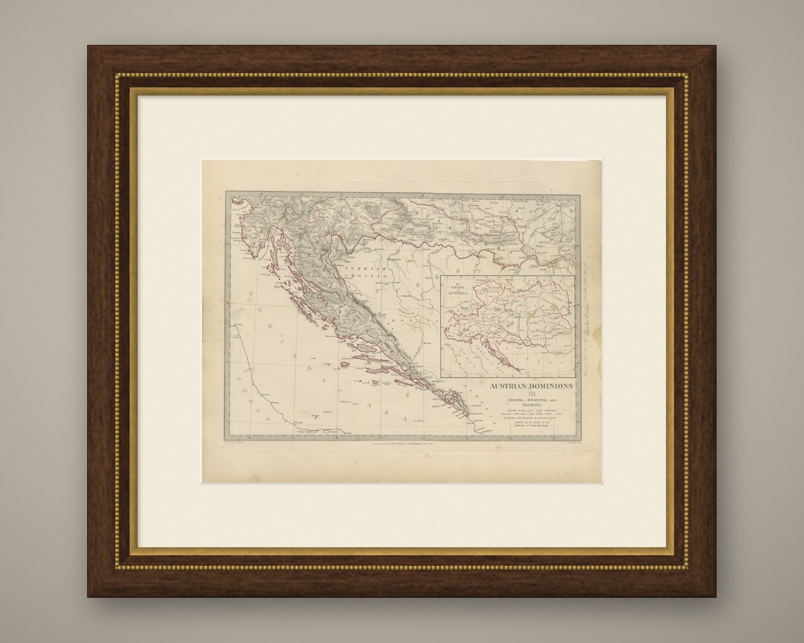
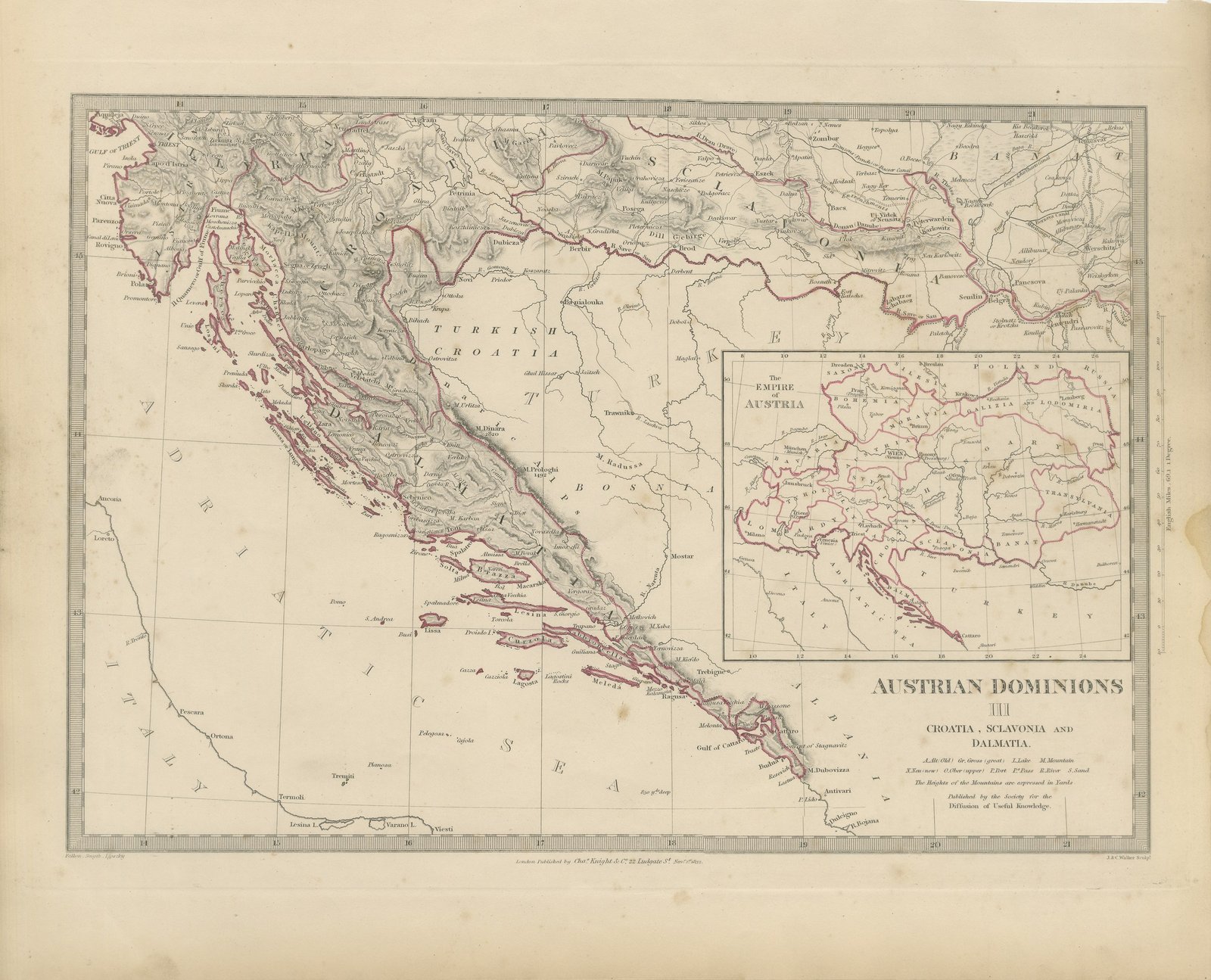
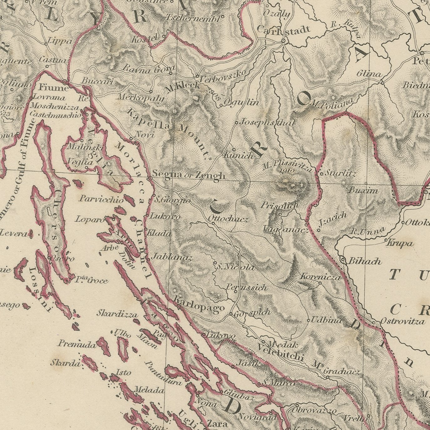
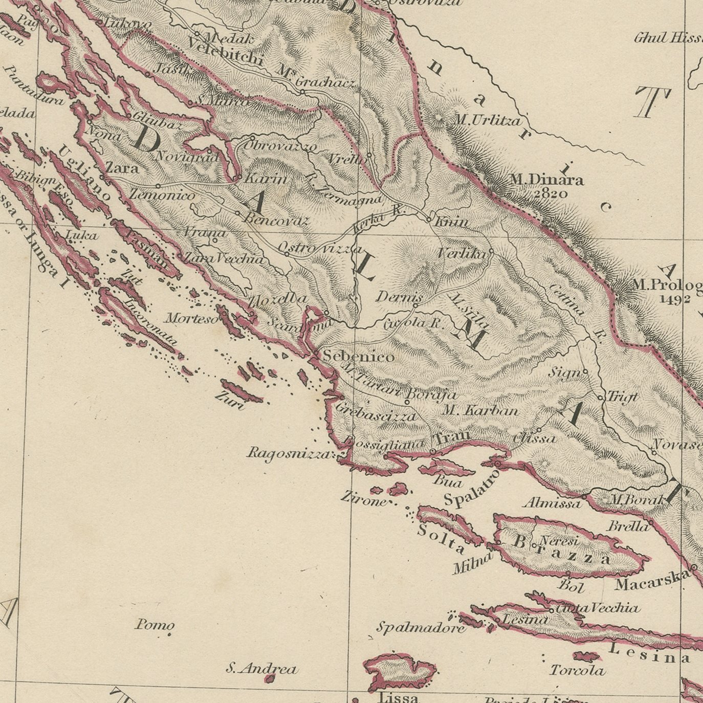
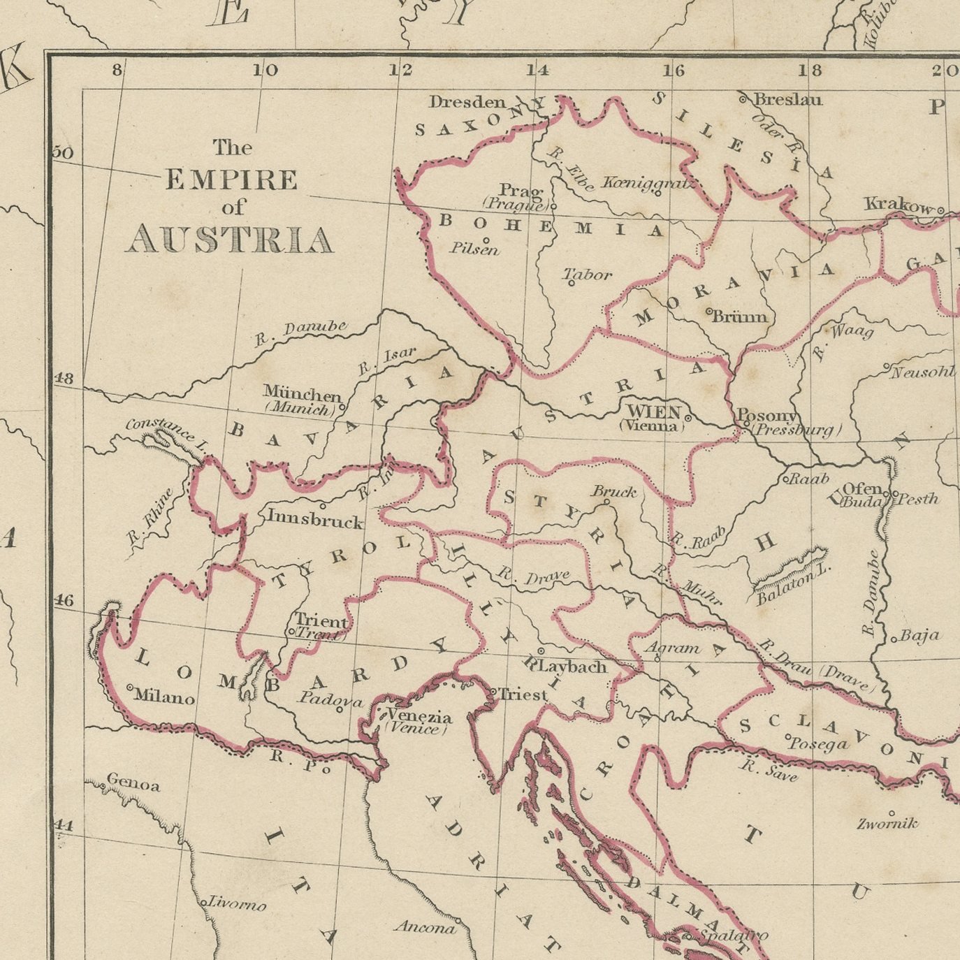
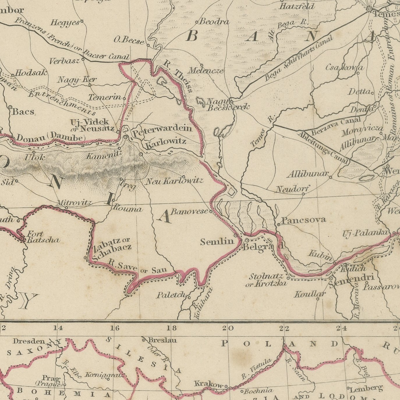
This antique map of 1845 is the third of the Society's sheets of the Austrian dominions and is given over to the Adriatic lands. The Dalmatian coast runs the length of the sheet from Istria and the Gulf of Trieste down past Zara, Sebenico, Spalatro and Ragusa to Cattaro, with the whole chain of islands, Lissa, Lesina, Brazza, Curzola and the rest, engraved in detail against the open Adriatic. Behind the coast the Dinaric mountains rise in heavy hachure, and Croatia, Turkish Croatia, Bosnia and Sclavonia fill the interior with Agram, Fiume, Carlstadt and Banialuka marked. The Italian coast at Ancona and Vasto is shown across the sea. Set into the right of the sheet is a separate inset map of the whole Empire of Austria, colored to show each of its crown lands from Bohemia to Transylvania, which makes the plate serve as a general map of the empire as well as a regional one.
The plate comes from Maps of the Society for the Diffusion of Useful Knowledge, in the new edition corrected to the present time that Charles Knight and Company published at 22 Ludgate Street, London, in 1845, whose first volume covers Europe. The Society was founded in 1826 by Henry Brougham and his circle to publish useful knowledge at a low price. Its maps were issued in parts from 1829, first by Baldwin and Cradock, from 1842 by Chapman and Hall and then by Charles Knight, and the series grew to about two hundred maps. Most of them were engraved on steel by John and Charles Walker, and the outline color was applied by hand.
The plate is signed by J. and C. Walker as engravers. The imprint at the foot names Charles Knight and Company of 22 Ludgate Street, London.
Strong age toning, the paper a warm buff, with the paper darker along the bottom and right edges, foxing through the margins and stains in the margins.
This is an original antique map, not a modern reproduction. This item is sold unframed.