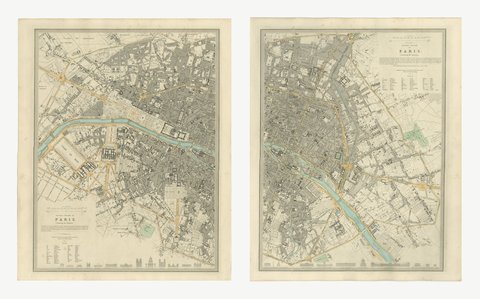
 The sheet, as you receive it
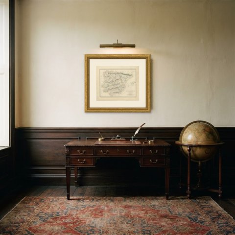
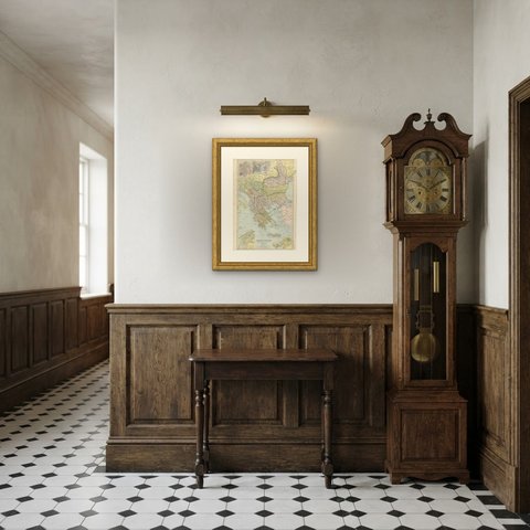
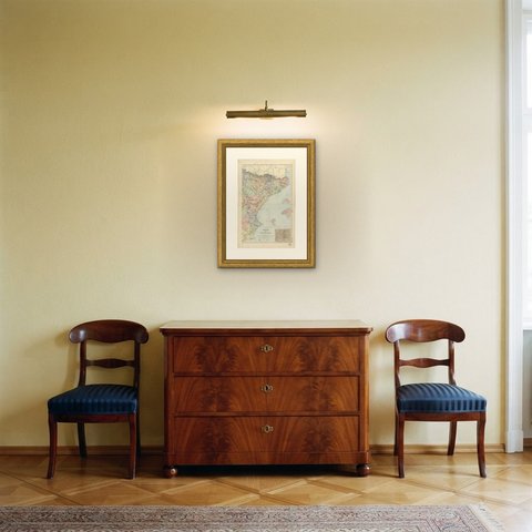
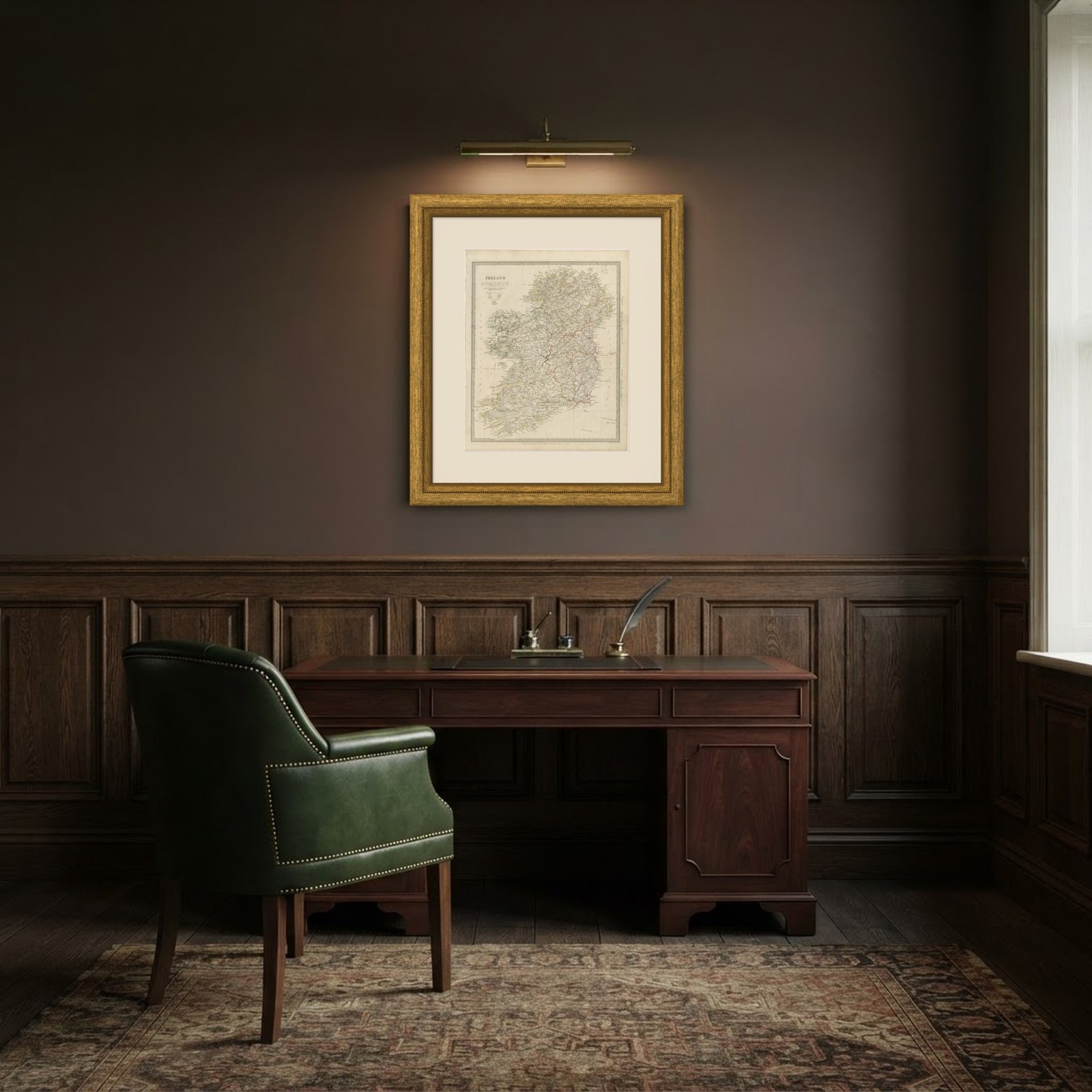 In the room
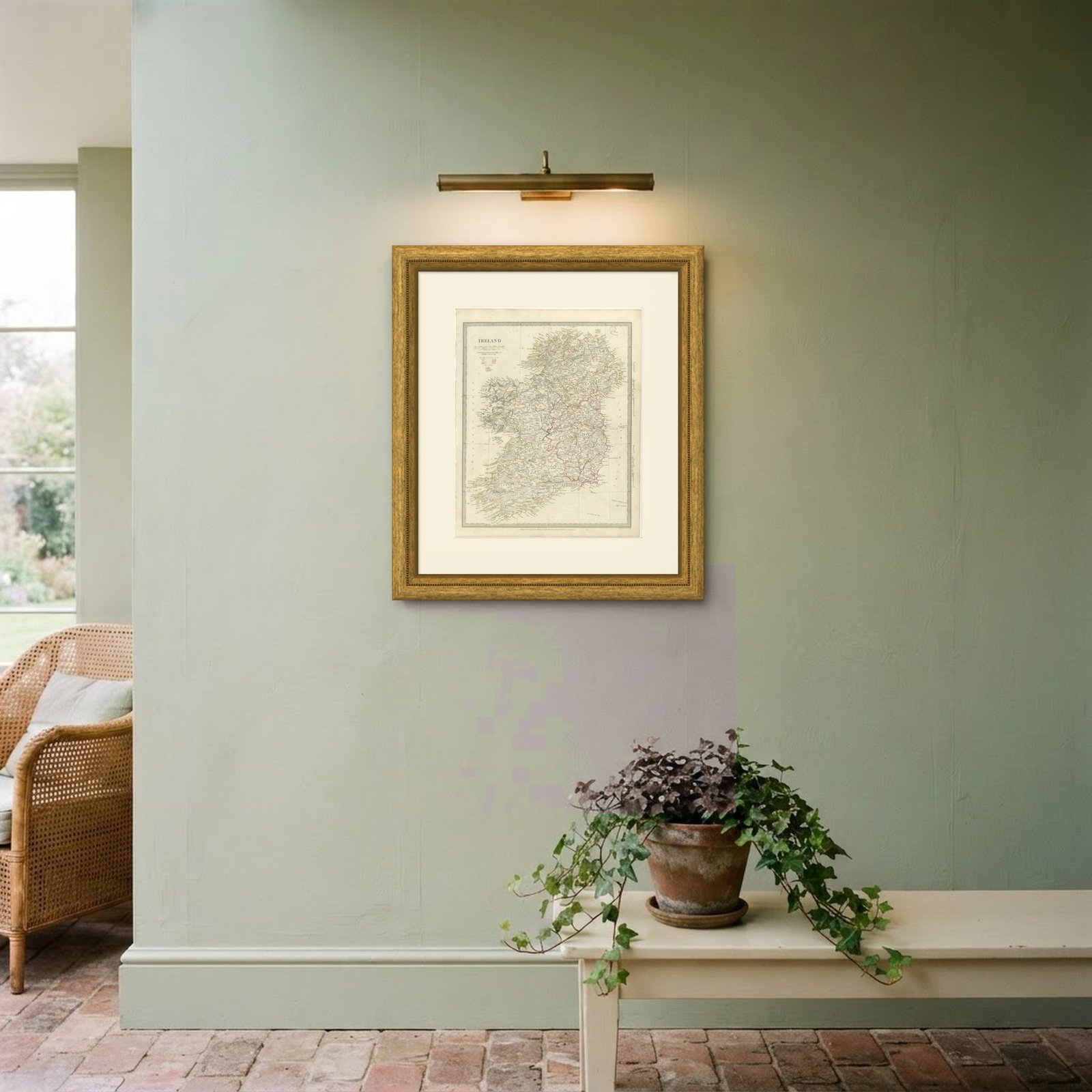
Interior designers: BarTrade members buy at their trade price. How it works
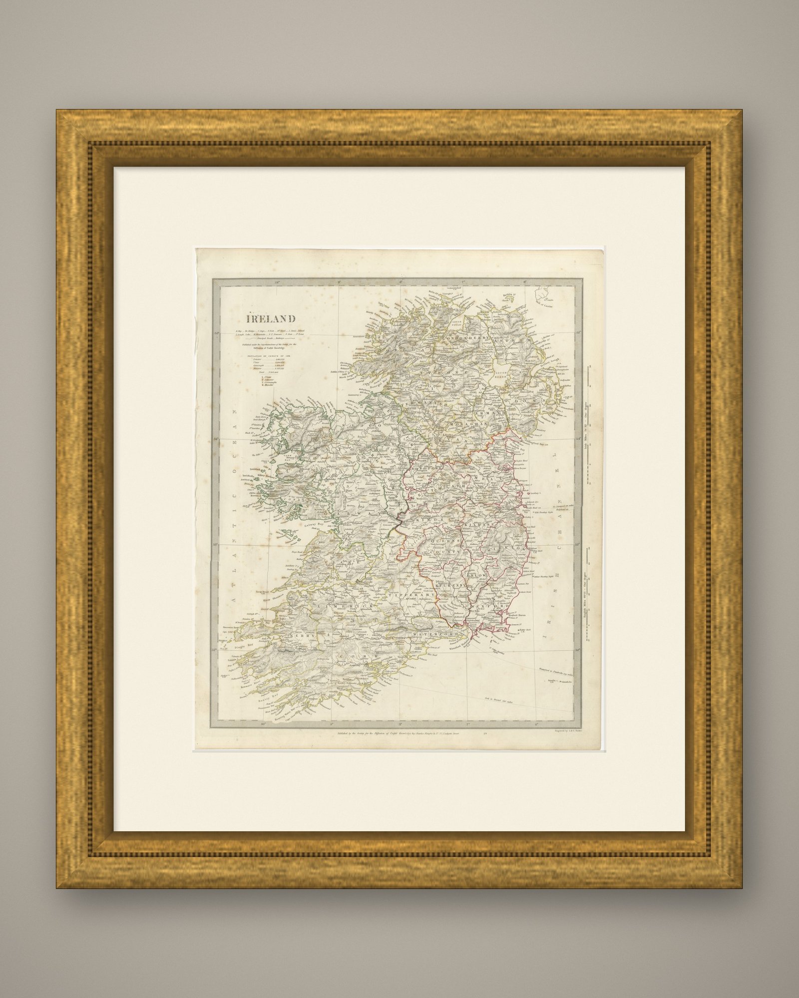
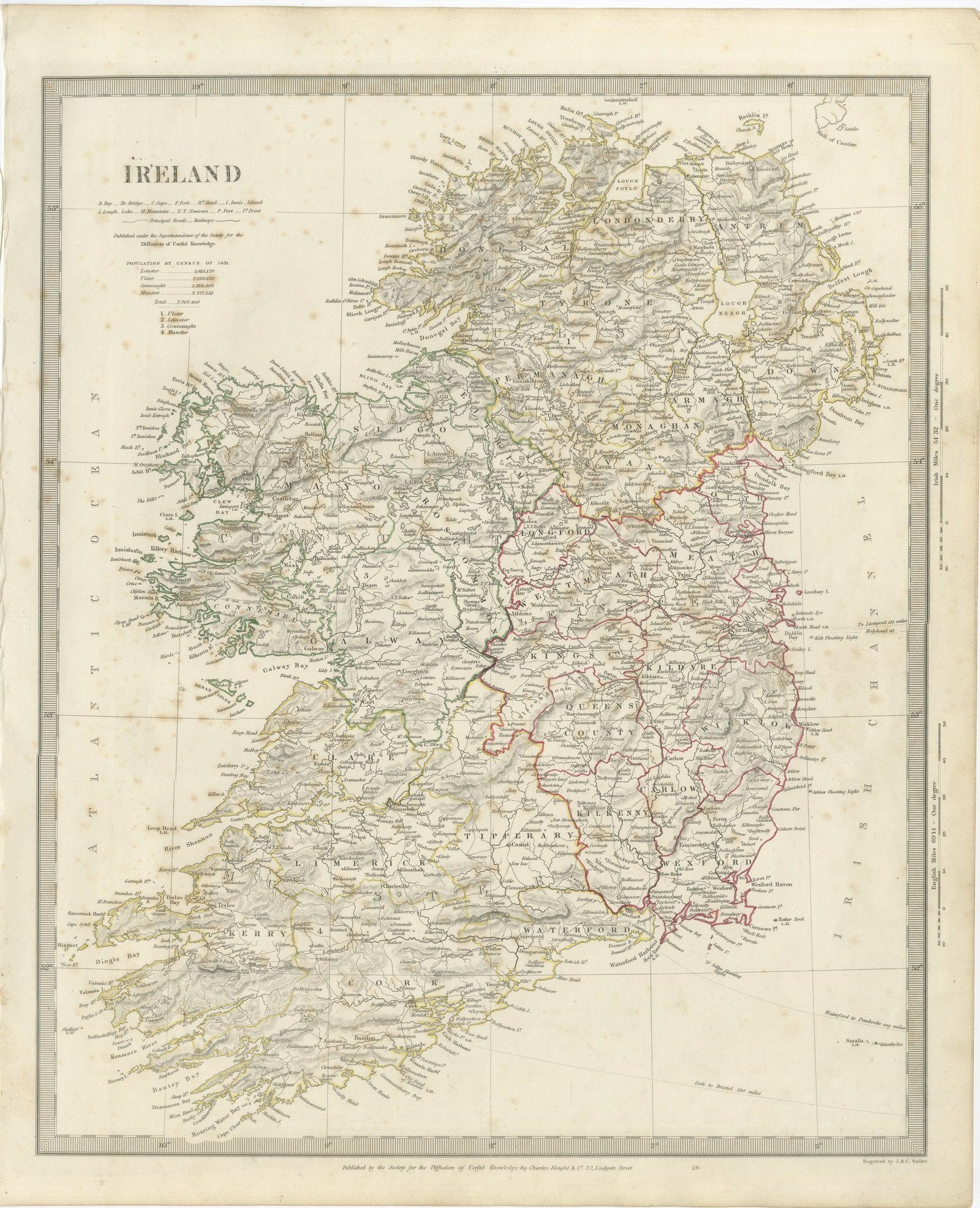
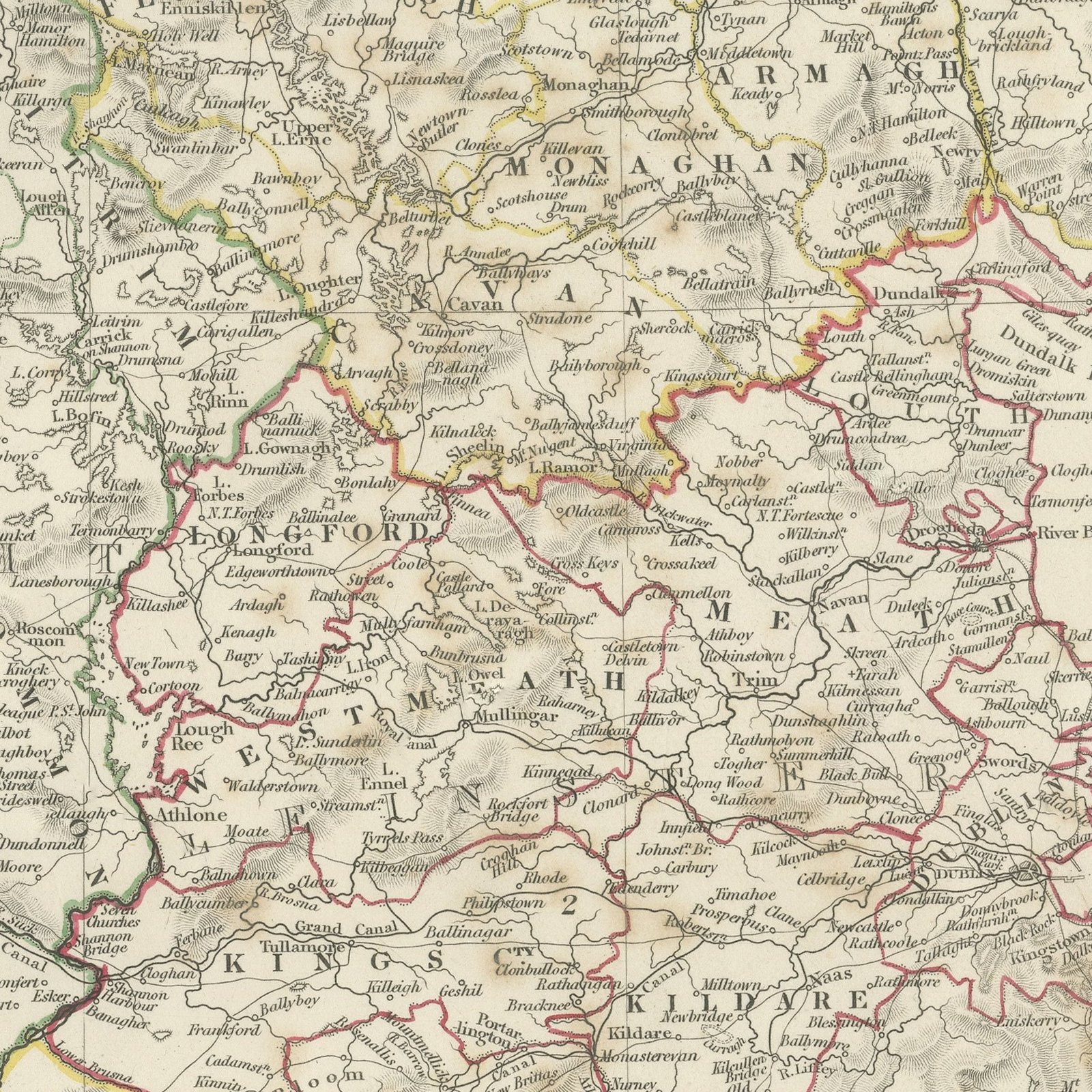
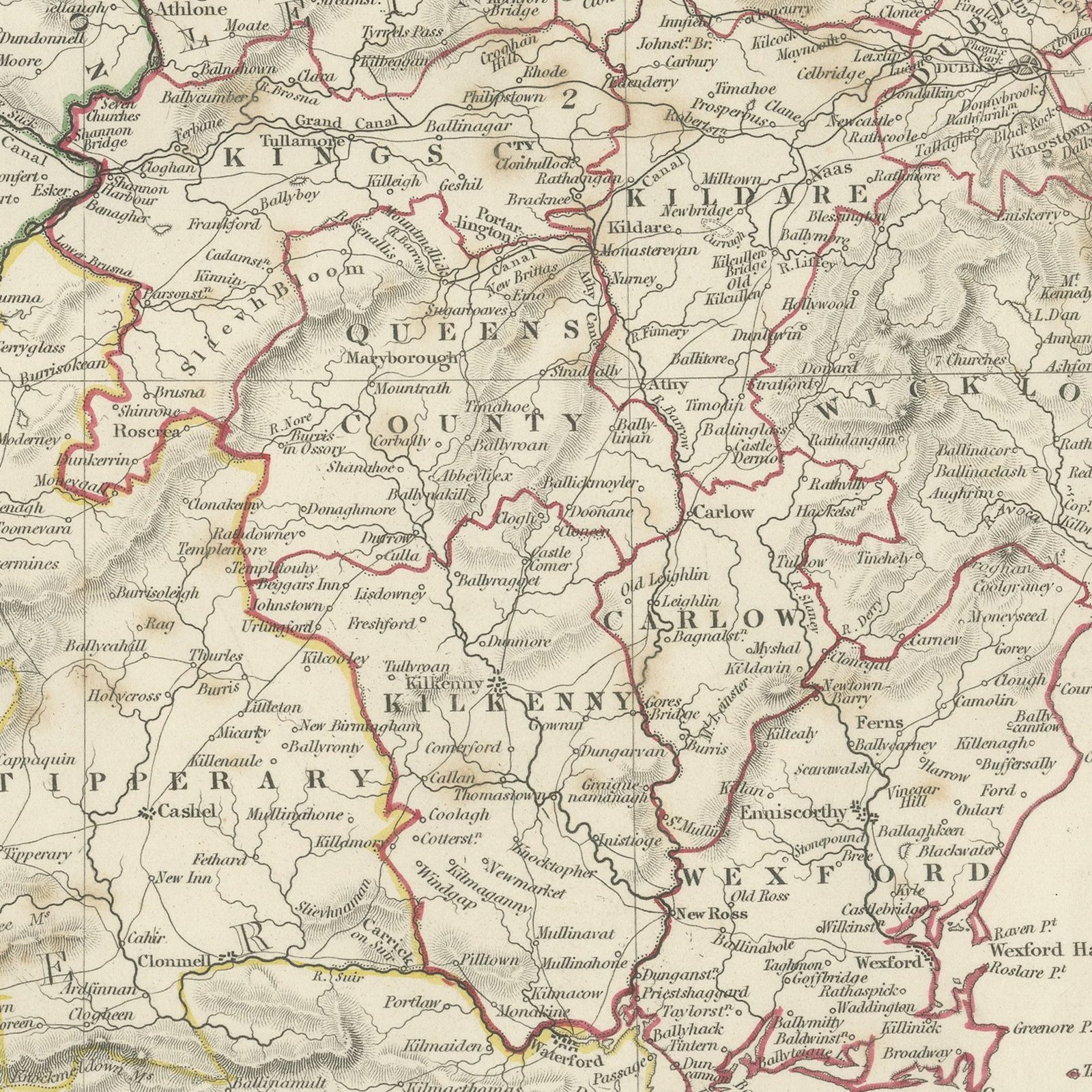
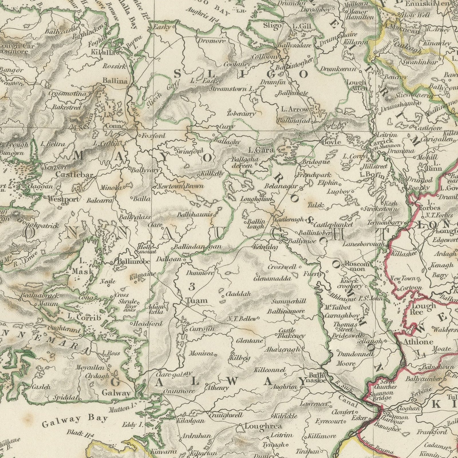
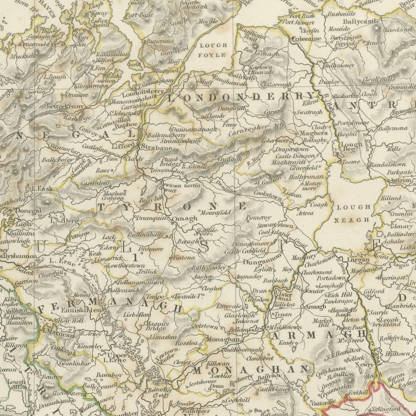
This antique map of Ireland, published in 1845, gives the whole island on a single upright sheet, with every county named and the four provinces of Leinster, Ulster, Connaught and Munster distinguished by hand applied color in red, green, yellow and blue. The coast is engraved in detail, from the sea loughs of Donegal and the Atlantic inlets of Mayo and Galway round to Dingle Bay, Bantry Bay and the harbors of Cork and Waterford, and the mountains of Kerry, Connemara, Wicklow and Mourne are drawn in close hachure. Lough Neagh, Lough Erne, Lough Corrib and the Shannon lakes are shown, and the principal roads and the first railways are distinguished by a key beneath the title. An engraved table in the upper left gives the population of each province at the census of 1831 with a total for the island of more than seven and a half million.
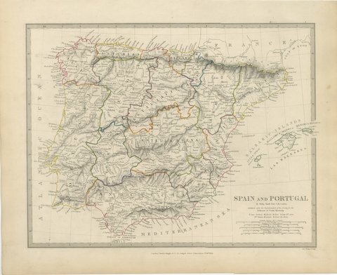
The plate comes from Maps of the Society for the Diffusion of Useful Knowledge, in the new edition corrected to the present time that Charles Knight and Company published at 22 Ludgate Street, London, in 1845, whose first volume covers Europe. The Society was founded in 1826 by Henry Brougham and his circle to publish useful knowledge at a low price. Its maps were issued in parts from 1829, first by Baldwin and Cradock, from 1842 by Chapman and Hall and then by Charles Knight, and the series grew to about two hundred maps. Most of them were engraved on steel by John and Charles Walker, and the outline color was applied by hand.
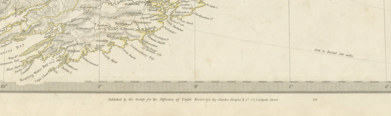
The plate is signed by J. and C. Walker as engravers. The imprint at the foot names Charles Knight and Company of 22 Ludgate Street, London.
Light overall age toning, with the paper darker along the right and top edges, foxing through the margins, one or two spots larger than the rest, stains in the margins and handling wear to the top left and top right corners.
This is an original antique map, not a modern reproduction. This item is sold unframed.