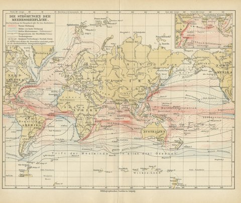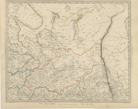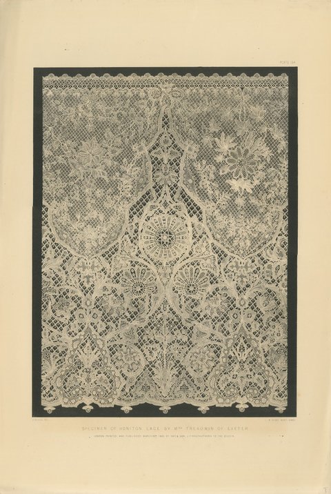
 The sheet, as you receive it
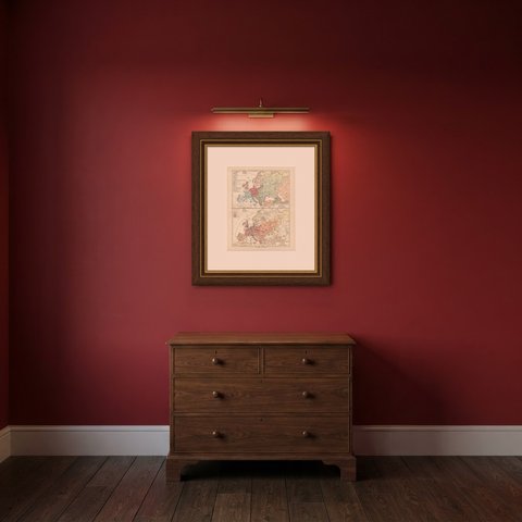
 In the room

Interior designers: BarTrade members buy at their trade price. How it works
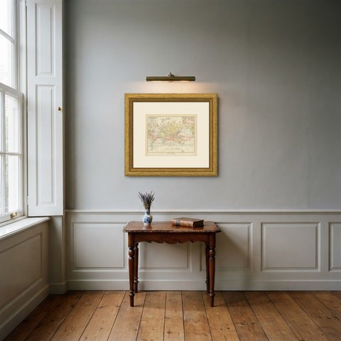
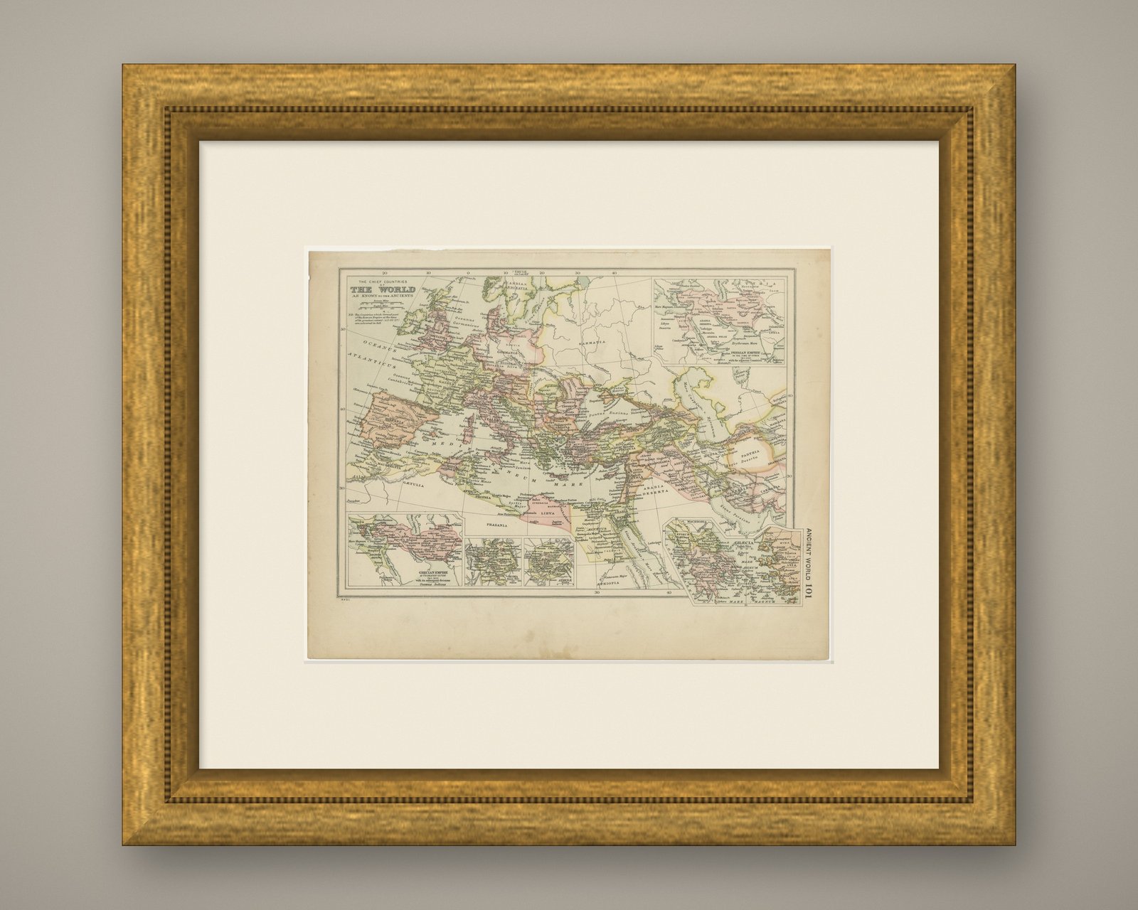
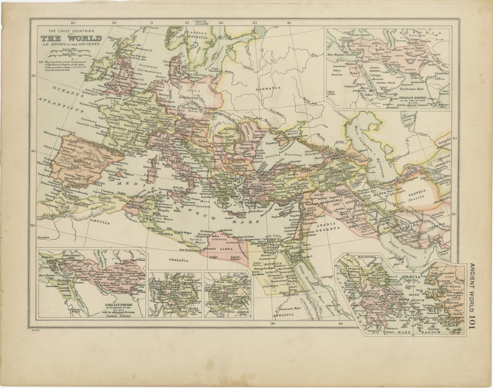
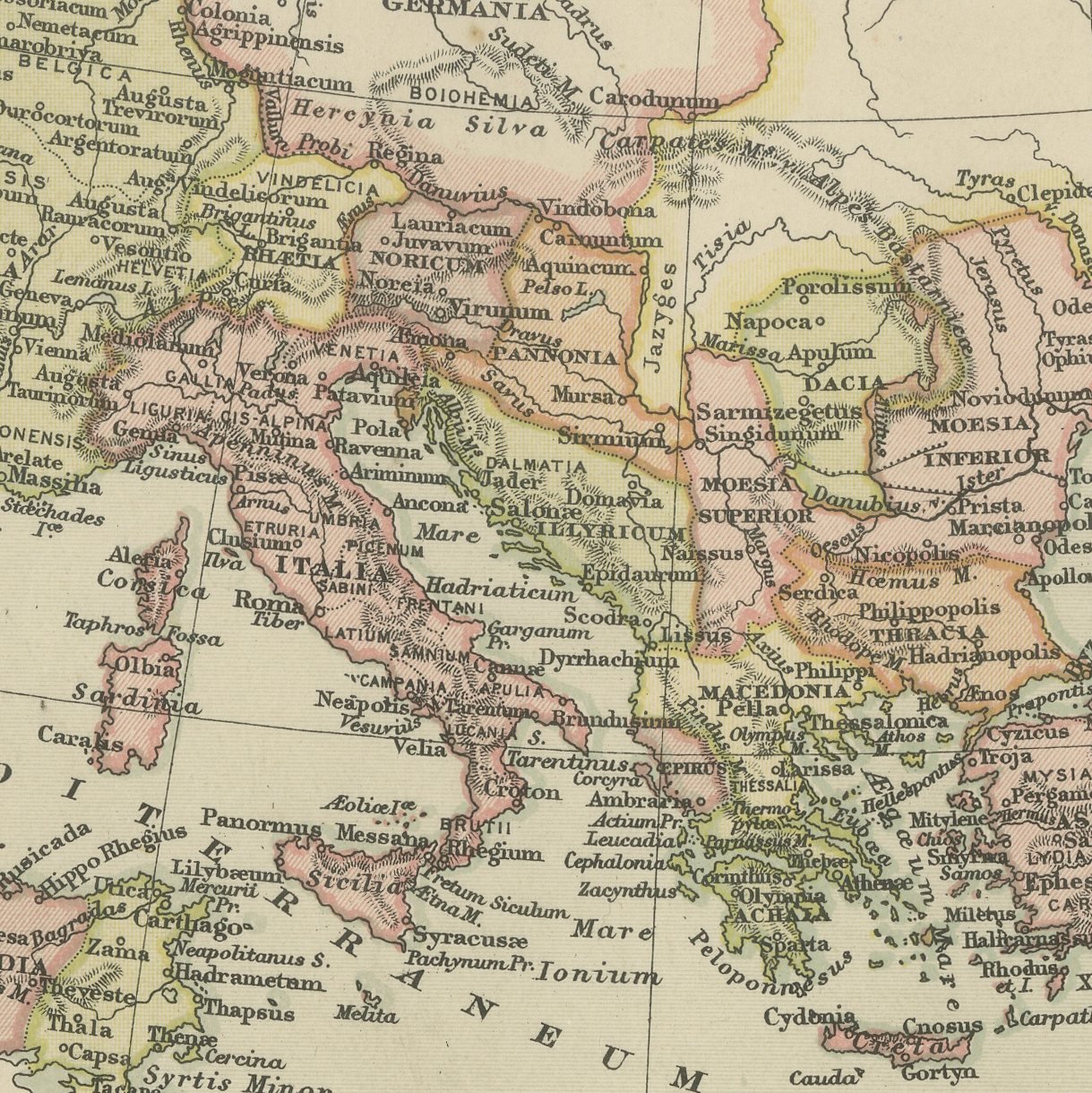
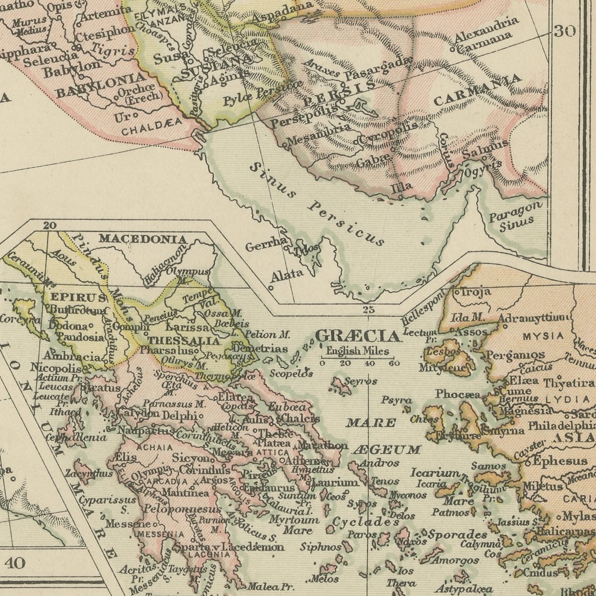
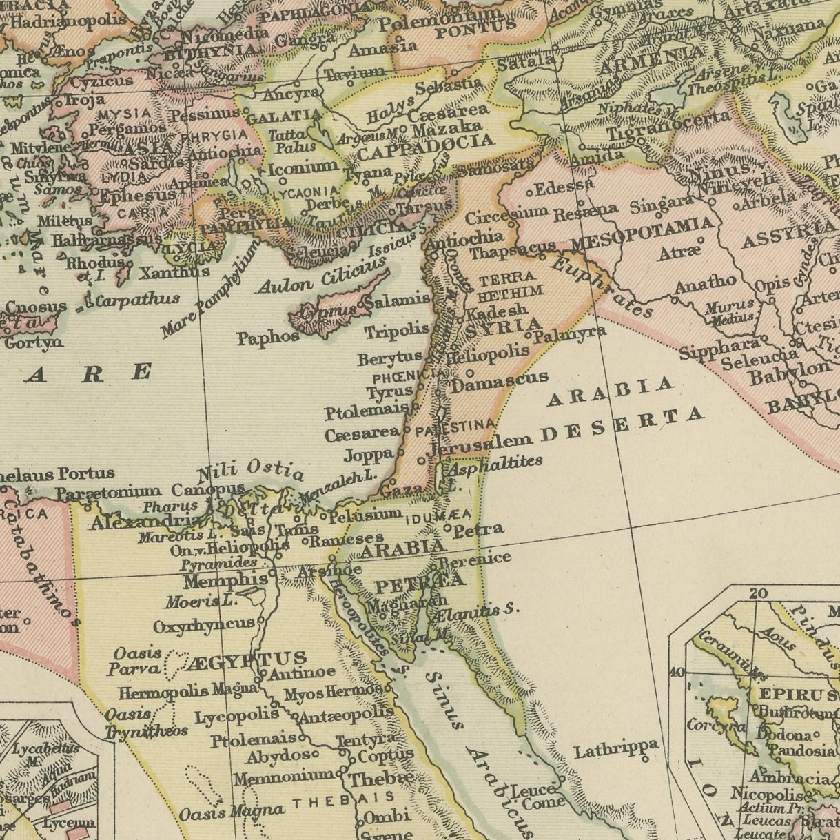
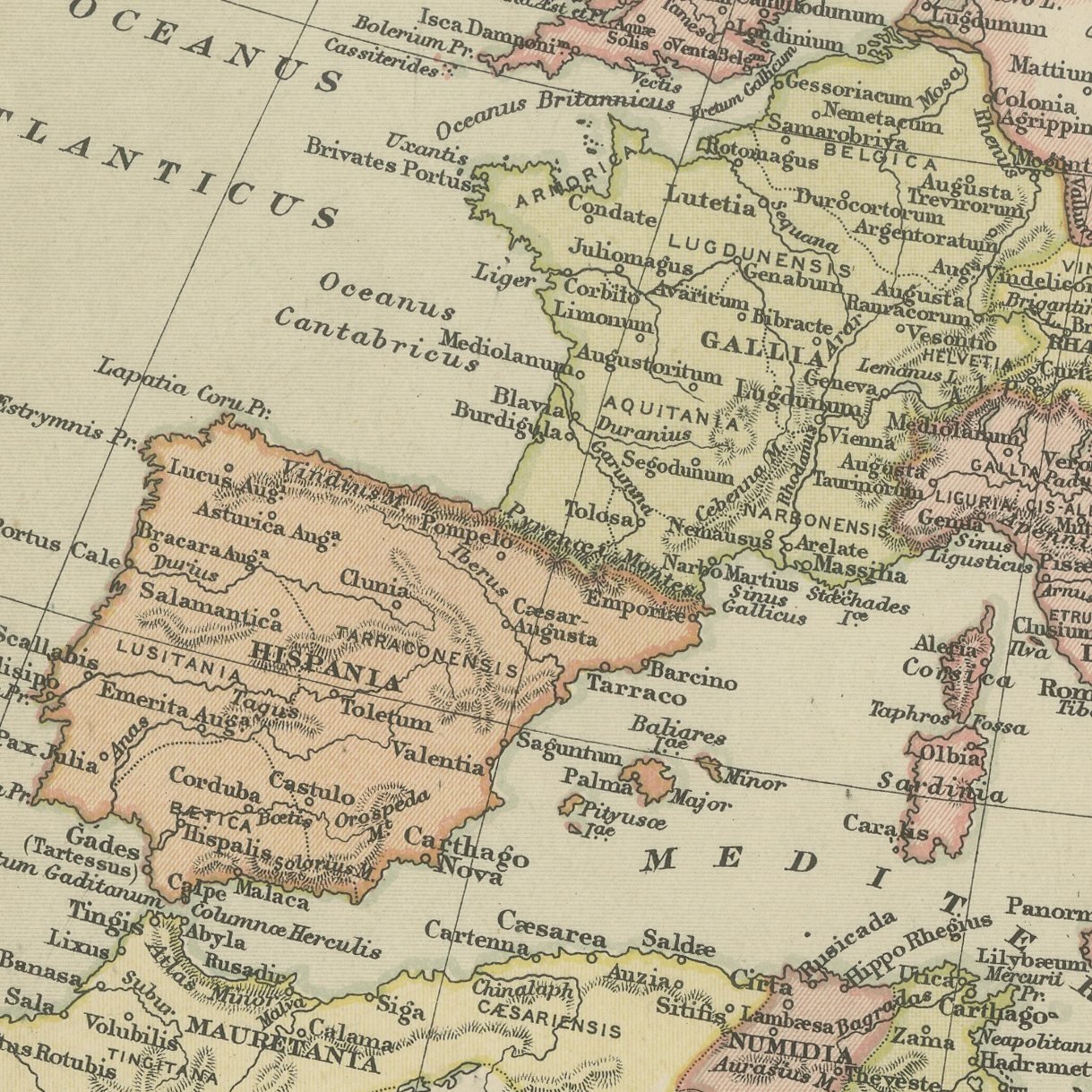
A color printed antique map of the ancient world, published in London by G. W. Bacon in 1898 for his Commercial and Library Atlas of the World. The classical world is drawn from Oceanus Atlanticus to India and from Thule to Aethiopia, with every province of the Roman Empire at its greatest extent under Trajan picked out in color and a printed note explaining that those countries are colored in full. Five insets give the Persian Empire in the time of Cyrus, the Grecian Empire at its greatest extent with the divisions after Alexander, plans of Roma and Athenae, and a map of Graecia.
This map was issued in the Commercial and Library Atlas of the World, published by G. W. Bacon and Company, Limited, London, in 1898. Bacon's house built its reputation on large, densely lettered commercial maps rather than on decorative cartography, and this atlas was its reference volume: one hundred double page maps and one hundred insets, each carrying the railways, steamer routes, submarine cables and administrative boundaries that a trading nation wanted at the end of the nineteenth century.
Every name on the sheet is in Latin, from Britannia and Hibernia to Sinae and Serica at the eastern edge of the known world, which is what makes a classical map of this kind so pleasing to read. The two city plans are small but complete, with the seven hills of Rome and the Acropolis marked.
Even age toning, the paper a warm cream, with the paper darker along the bottom and left edges, gray handling soiling in the margins and light handling wear at the top left corner. The printed image itself is clean.
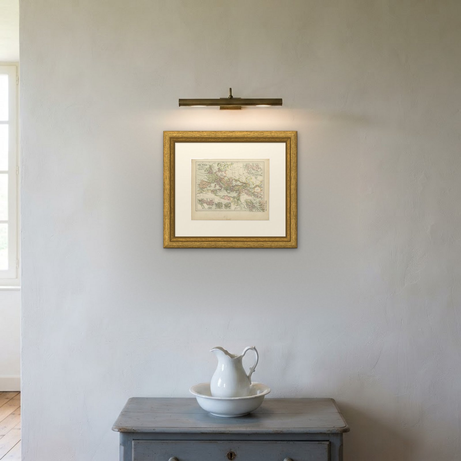
A map like this rewards close looking, so hang it where people pass near it: a hall, a landing, a study or a meeting room. The printed color is soft and the lettering fine, and it sits comfortably beside both antique and modern furniture. This is an original antique map, not a modern reproduction. This item is sold unframed.