 The sheet, as you receive it
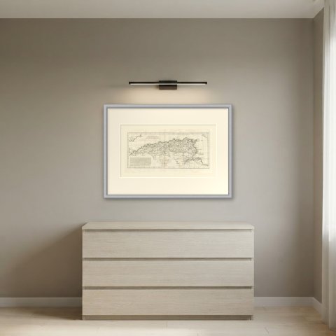
 In the room
Interior designers: BarTrade members buy at their trade price. How it works
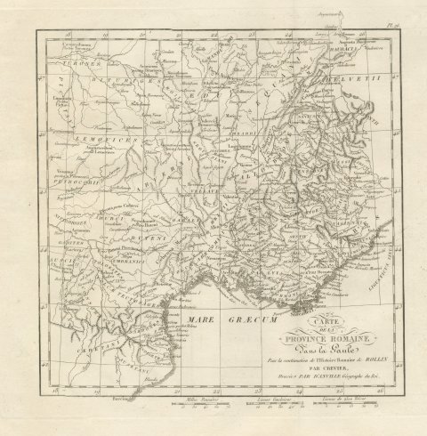
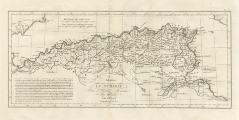
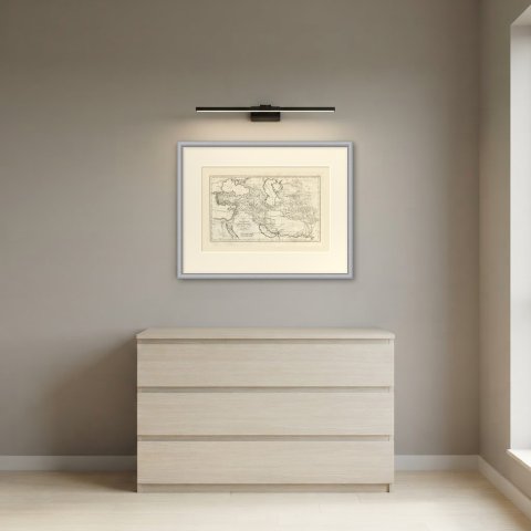
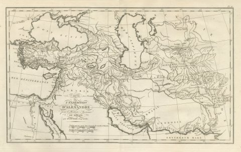
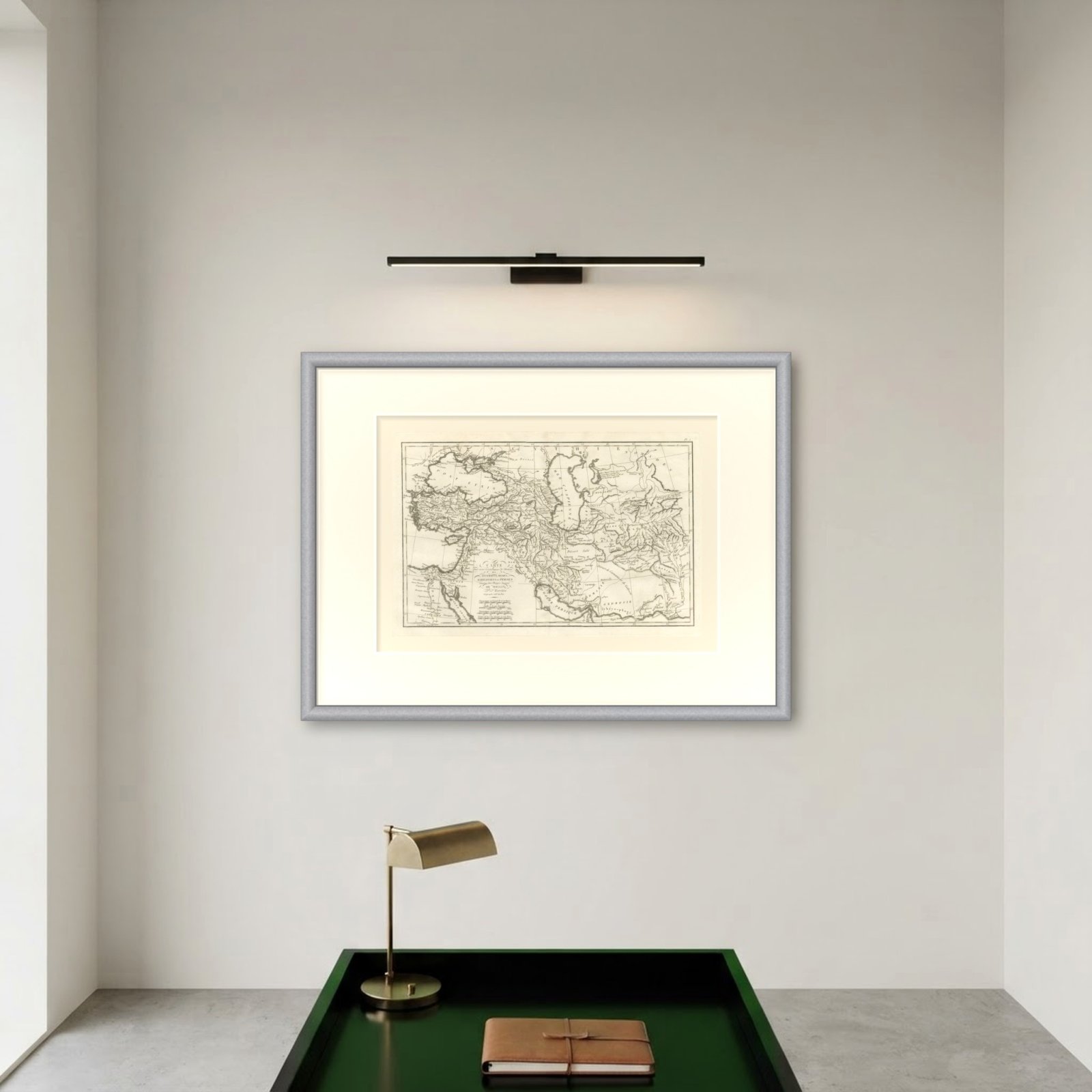
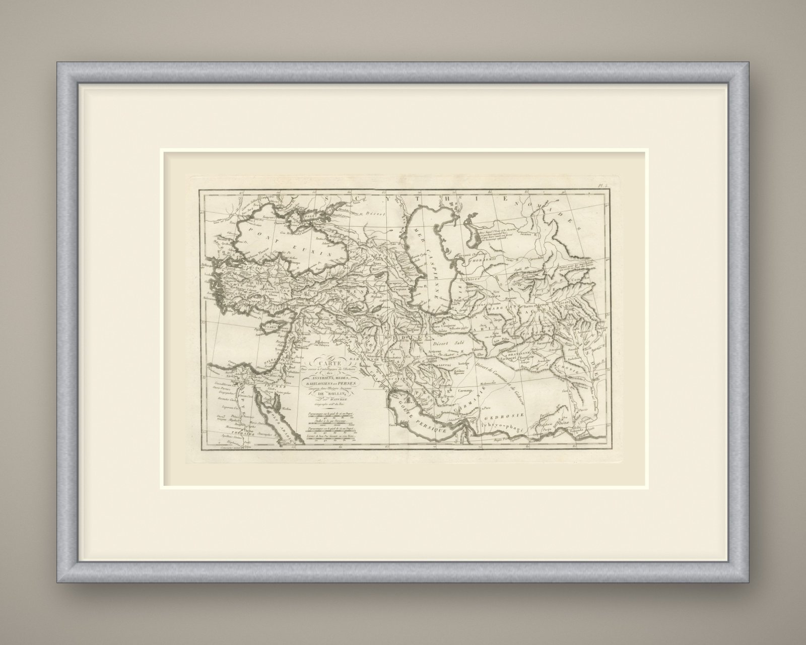
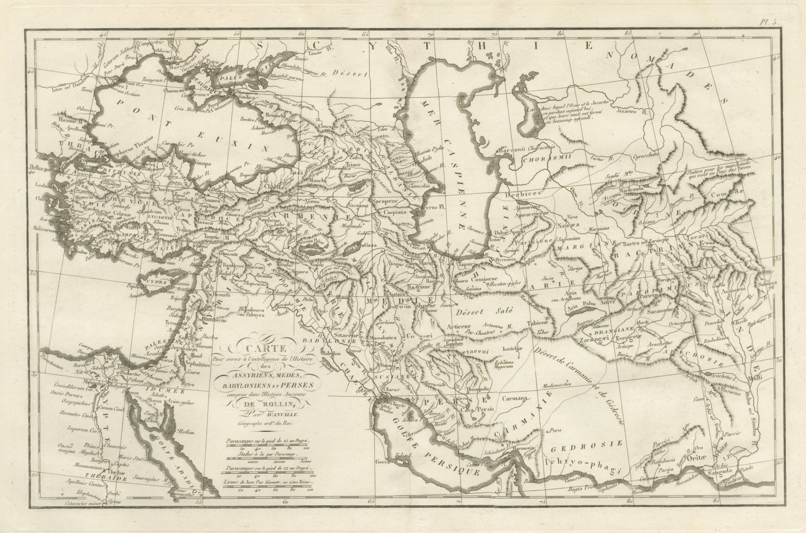
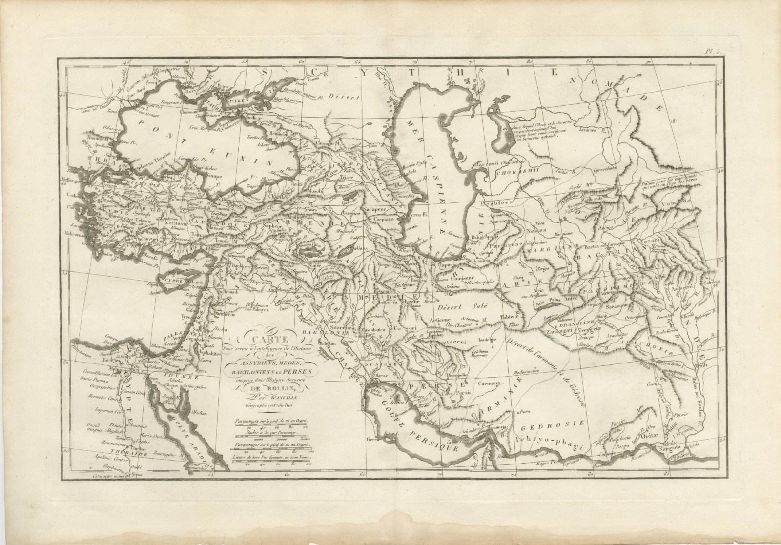
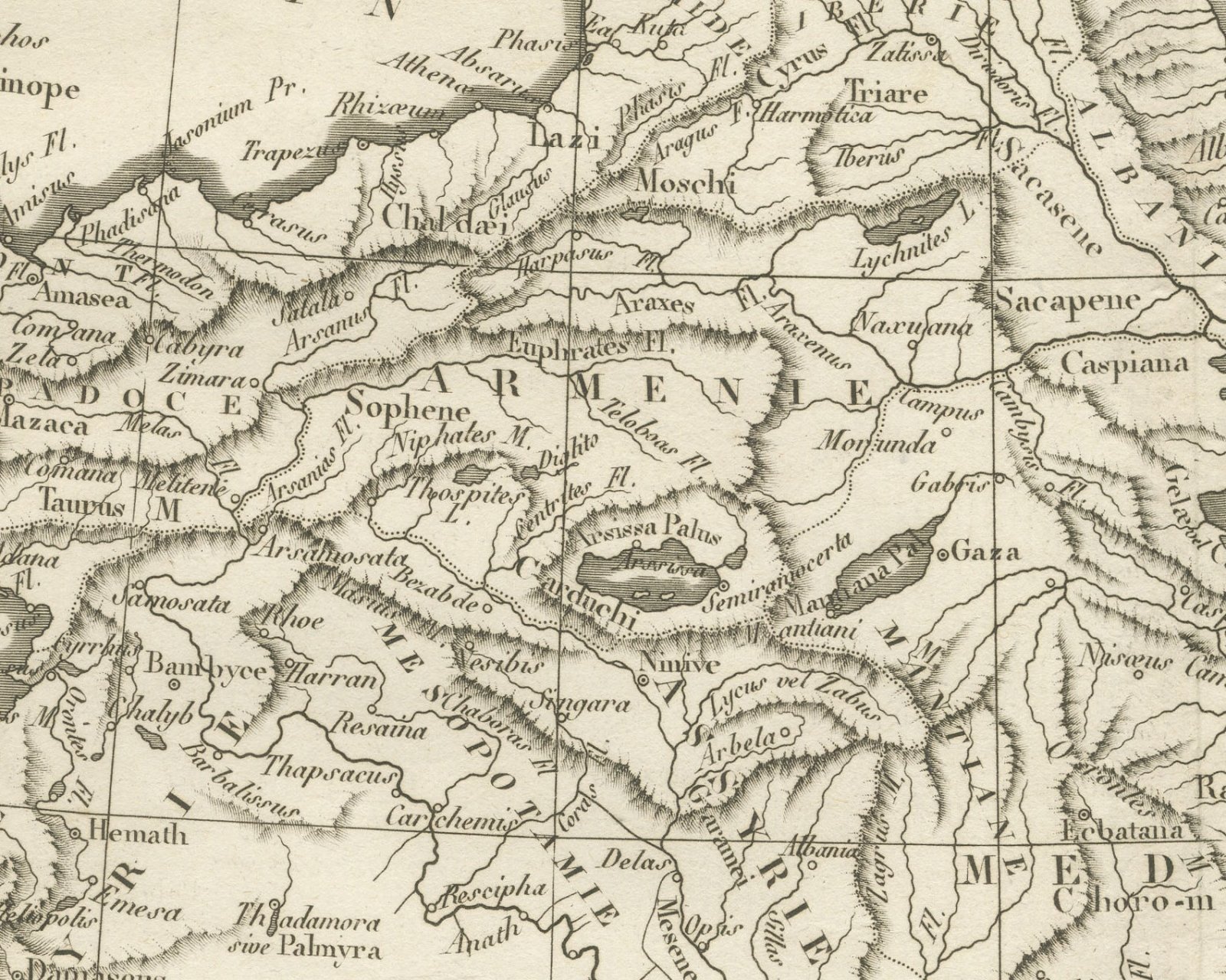
An original copper engraved map, uncolored, of the Near East and Iran from the Aegean and Egypt to the Indus, taking in the Pont Euxin, the Mer Caspienne and the Golfe Persique. Babylon, Ninive, Ecbatana, Persepolis and Susa are placed among regions such as Babylonie and Perse, with Bactriane and the nomads of Scythie to the north east. Two engraved notes stand out: one names the lake in which the Oxus and the Jaxartes now lose themselves, and another marks the station for merchants going to the country of the Seres.
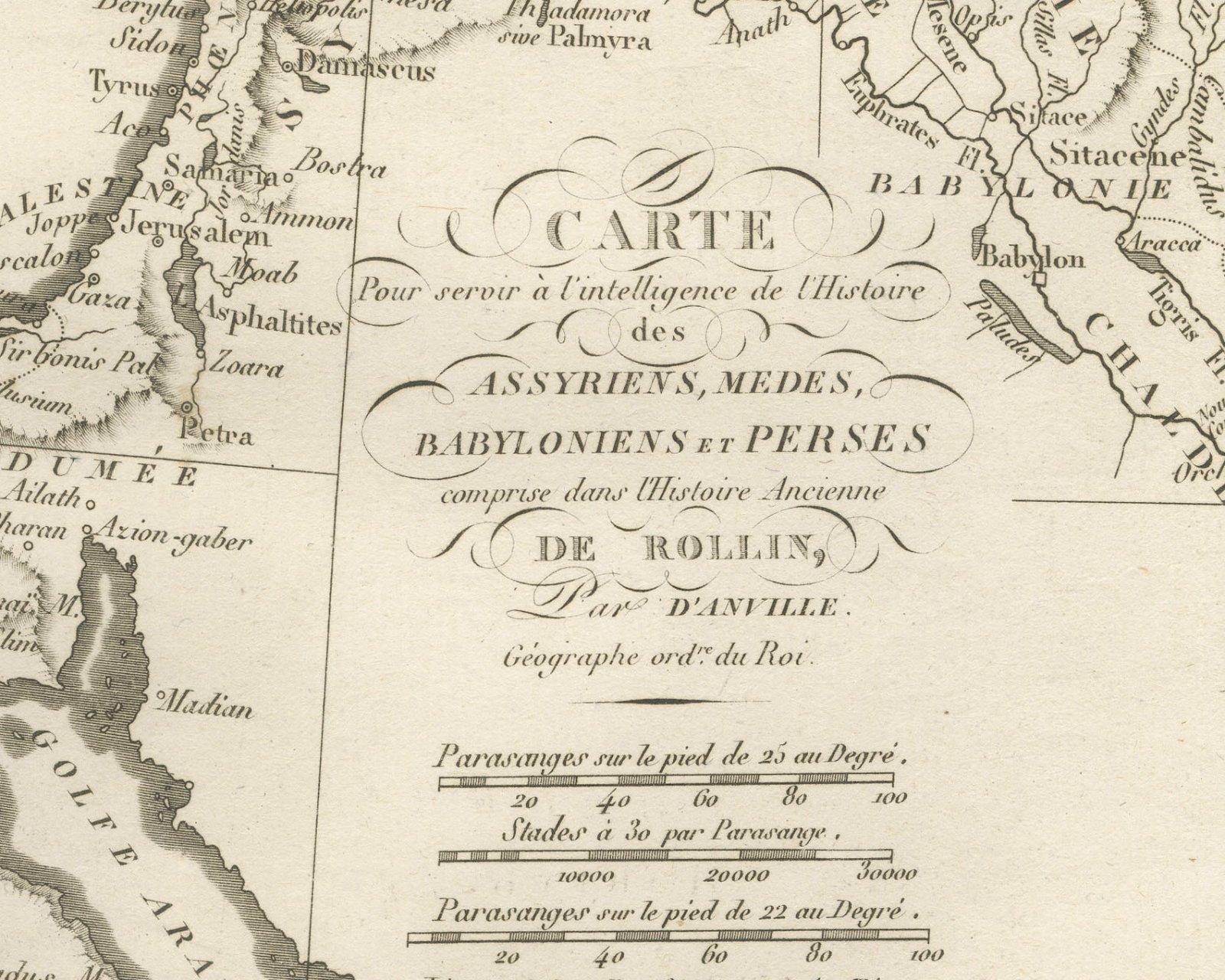
The cartouche in the lower left part of the map reads Carte Pour servir à l'intelligence de l'Histoire des Assyriens, Medes, Babyloniens et Perses comprise dans l'Histoire Ancienne de Rollin, Par d'Anville. Géographe ord.re du Roi. The plate is numbered Pl. 5. above the upper right corner. Below the cartouche are four bars: Parasanges sur le pied de 25 au Degré, Stades à 30 par Parasange, Parasanges sur le pied de 22 au Degré and Lieues de 3000 Pas Géometr. ou 2500 Toises. No engraver is named on the sheet.
The plate comes from the Atlas de Géographie Ancienne, published in Paris in 1818 by Ledoux et Tenré and printed by Didot le jeune to accompany the works of Charles Rollin (1661 to 1741), the French historian whose Histoire ancienne the map was drawn to illustrate. The title page states that the atlas was engraved after the original maps of Jean-Baptiste Bourguignon d'Anville (1697 to 1782). Its table of plates carries a foreword signed by Ambroise Tardieu, géographe-graveur, who writes that the maps were copied with religious fidelity and that, charged with reviewing the proofs, he had only negligences and defects of execution to correct.
This is an original antique map, not a modern reproduction. This item is sold unframed.