 The sheet, as you receive it
 In the room
Interior designers: BarTrade members buy at their trade price. How it works
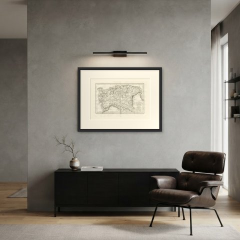
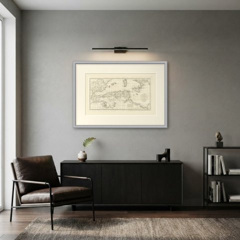
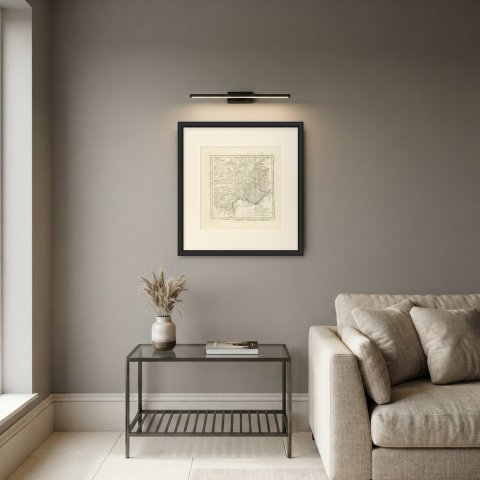
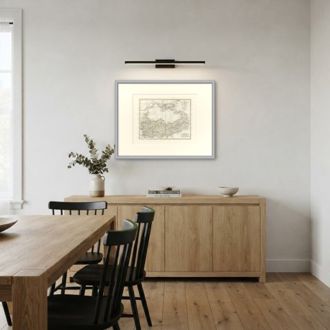
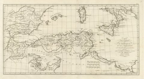
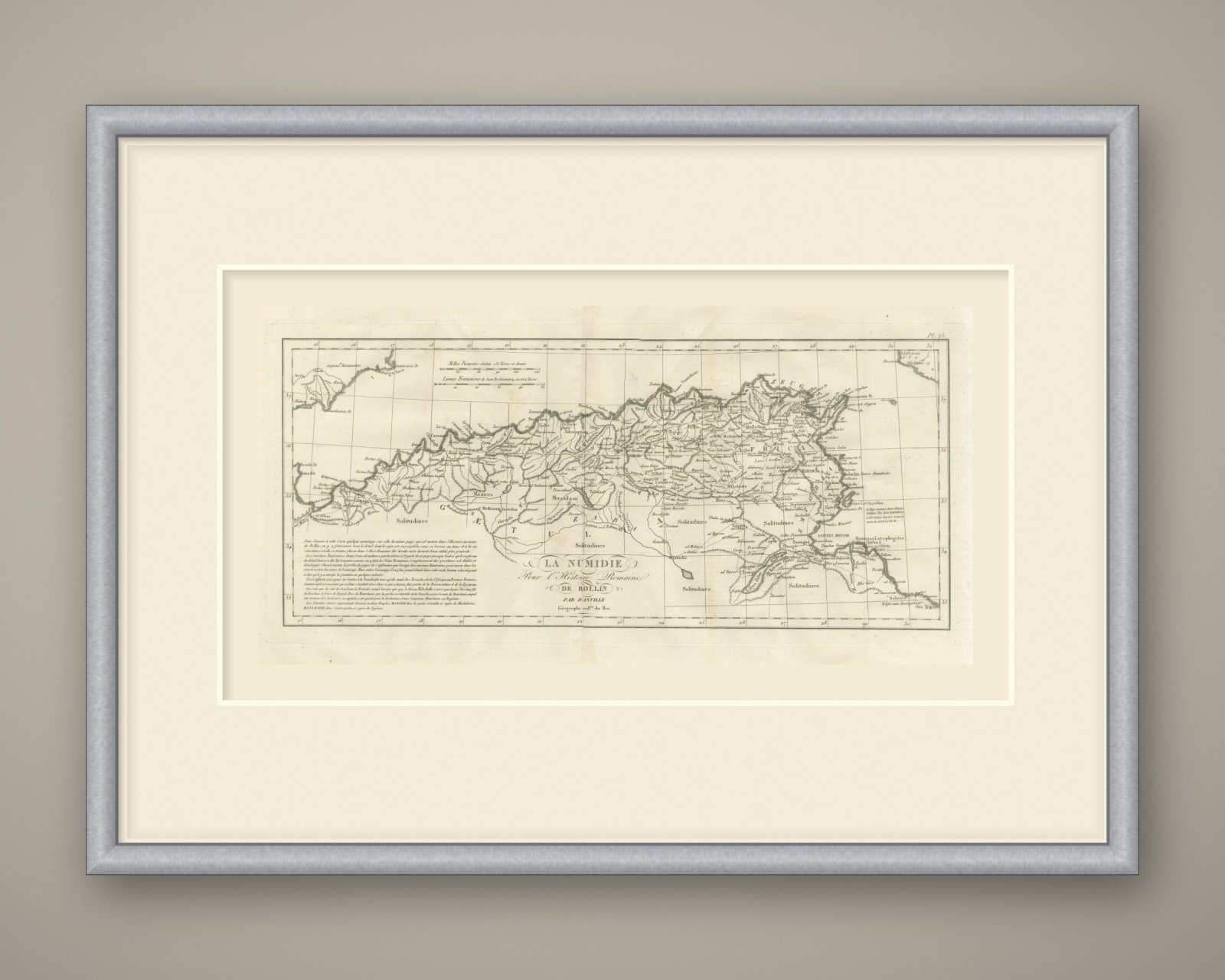
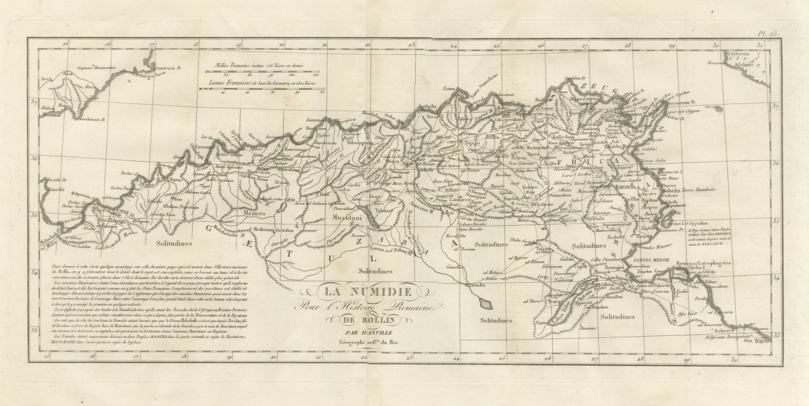
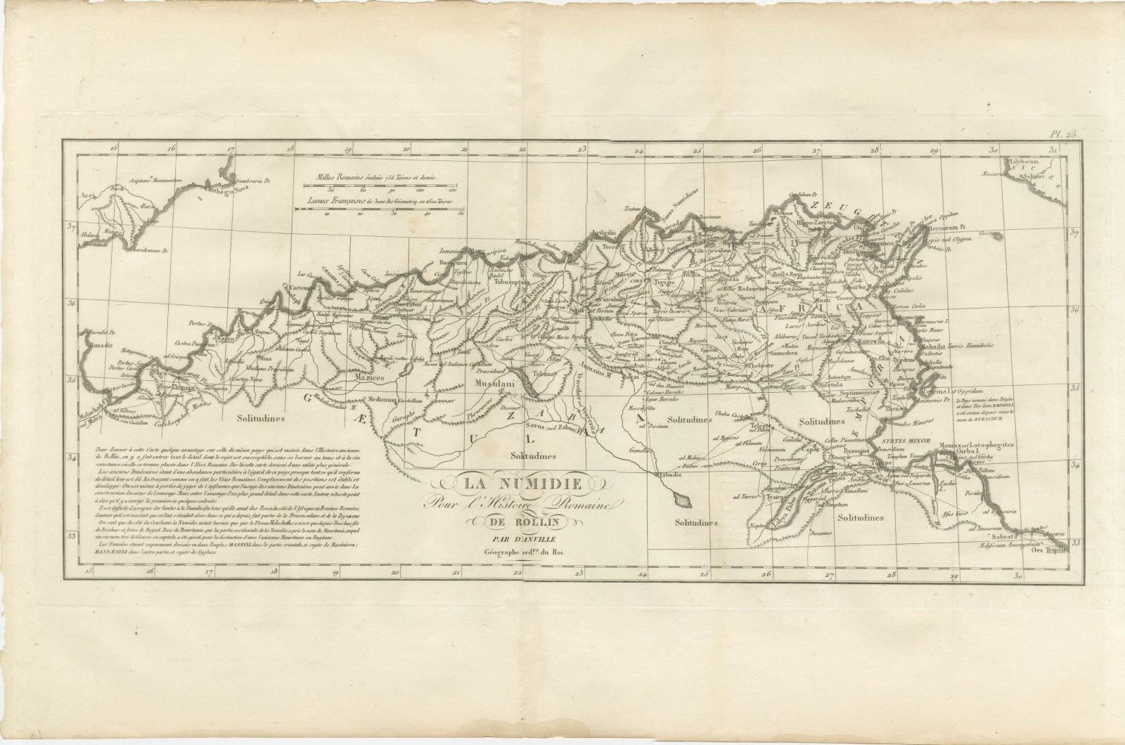
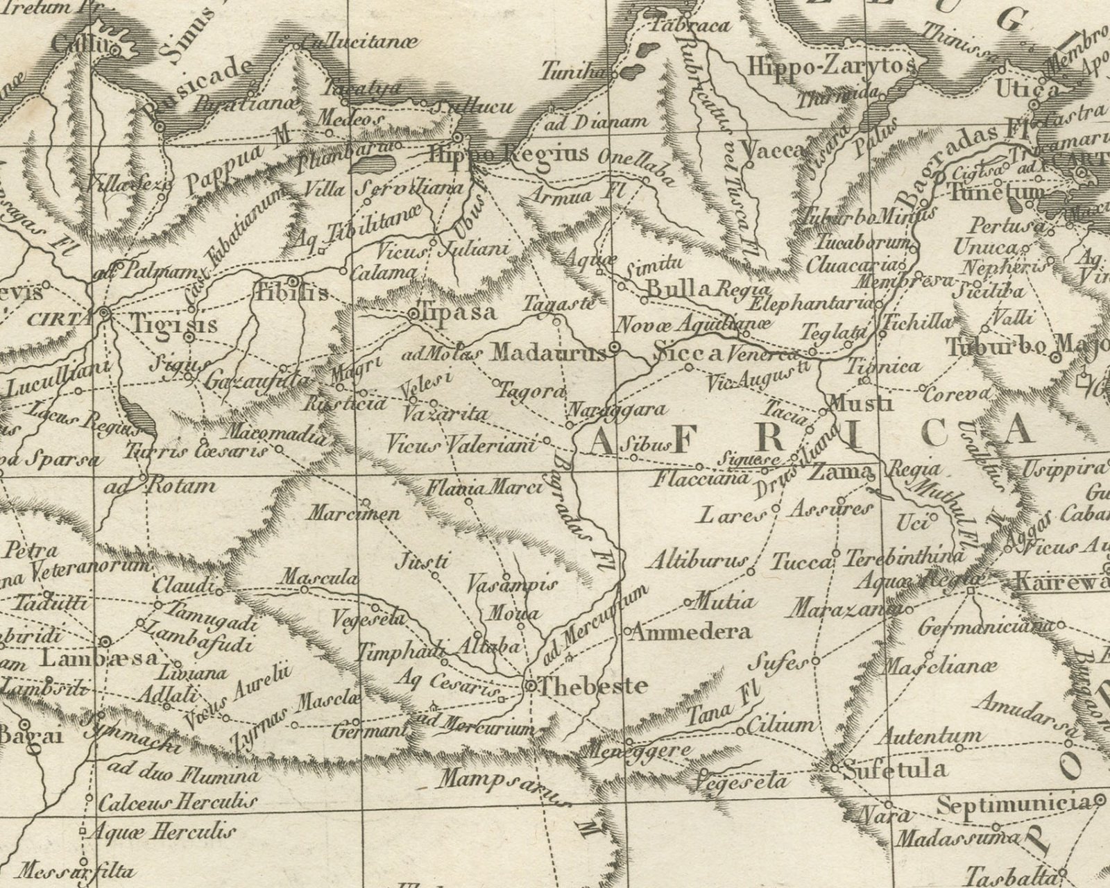
An original copper engraved map, uncolored, of Roman North Africa in a long band from the Molochath river to Oea, with the Spanish coast at Carthago Nova in the upper left corner. Dotted roads link the stations across the country. Cirta, Hippo Regius, Carthago, Utica, Sicca Venerea, Zama Regia, Thebeste, Lambaesa, Tamugadi, Sitifi, Capsa, Hadrumetum, Thapsus, Thenae, Sabrata and Oea are placed; the Syrtis Minor, the Libya Palus and the Tritonis Palus lie in the south, and Meninx, also called Girba, sits offshore. The great southern spaces are lettered Solitudines. Long engraved notes in the lower left explain that the map gives all the detail the subject allows, drawn from the ancient itineraries, and discuss the limits of Numidia; they end: Les Numides étaient auparavant divisés en deux Peuples; Massyli dans la partie orientale, et sujets de Masinissa; Massæsyli dans l'autre partie, et sujets de Syphax. A short note at right records that the country called Emporia by Polybius and Livy was later known as Byzacium.
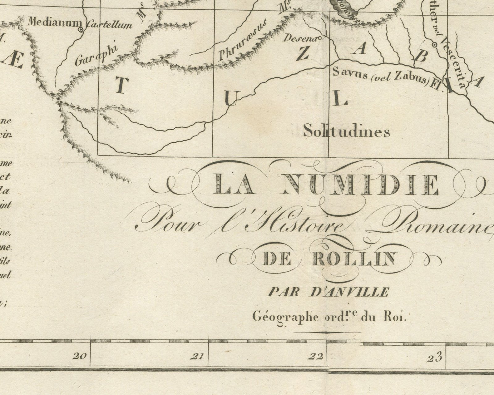
The cartouche at foot reads La Numidie / Pour l'Histoire Romaine / de Rollin / par d'Anville / Géographe ord.re du Roi. The plate number Pl. 25 is engraved above the upper right corner of the neatline. Two scale bars at upper left read Milles Romains évalués 755 Toises et demie and Lieues Françaises de 3000 Pas Géometriq. ou 2500 Toises.
The plate belongs to the Atlas de Géographie Ancienne, published in Paris in 1818 by Ledoux et Tenré and printed by Didot le jeune to accompany the works of Charles Rollin (1661 to 1741), author of the Histoire ancienne and the Histoire romaine. Its maps were engraved after the originals of Jean-Baptiste Bourguignon d'Anville (1697 to 1782). In the signed foreword Ambroise Tardieu, géographe-graveur, states that the maps were copied with religious fidelity and that, charged with revising the proofs, he had only to correct negligences and faults of execution.
This is an original antique map, not a modern reproduction. This item is sold unframed.