 The sheet, as you receive it
 In the room
Interior designers: BarTrade members buy at their trade price. How it works
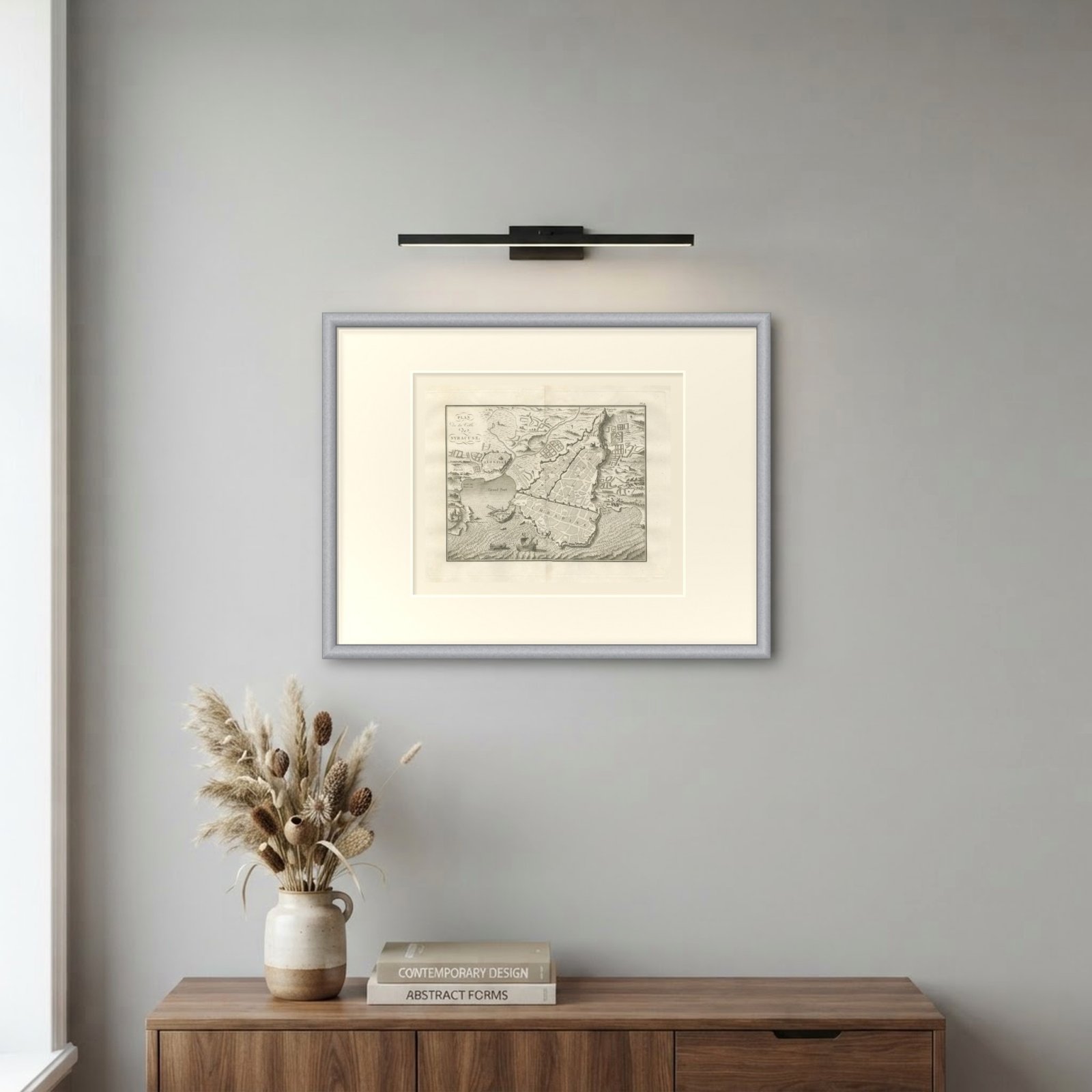
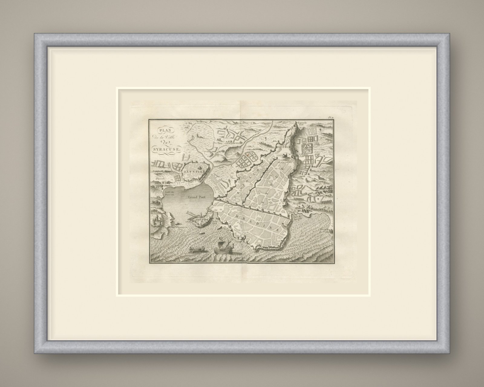
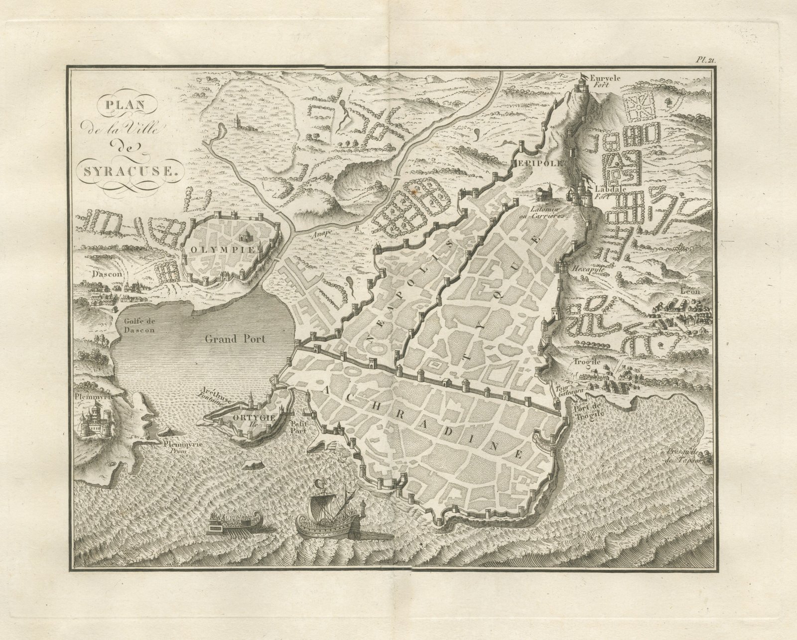
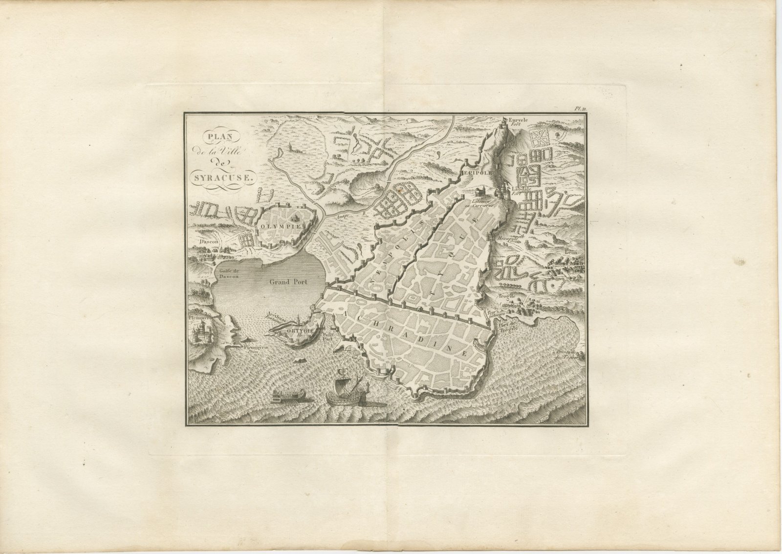
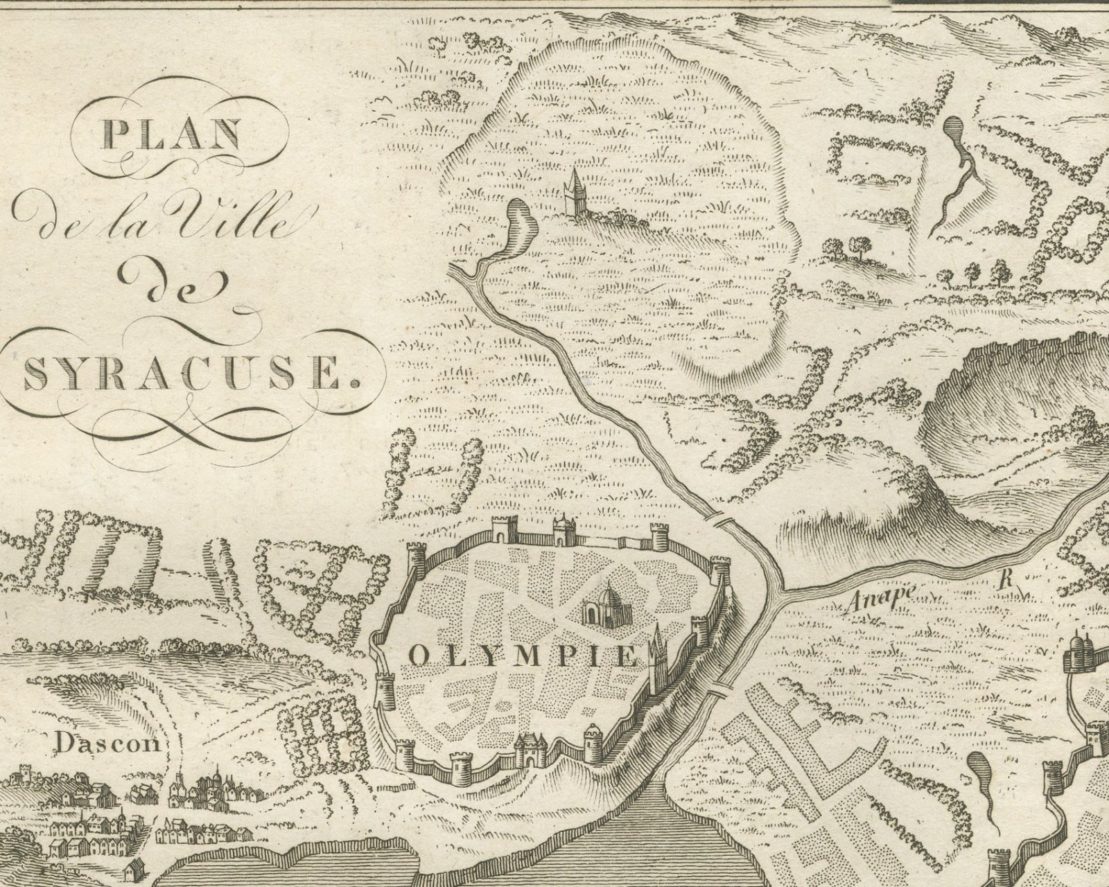
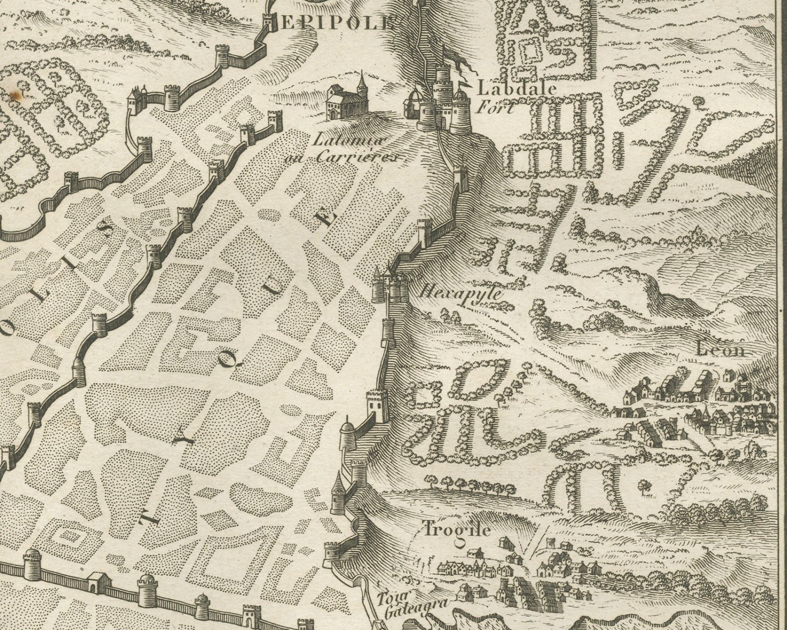
An original copper engraved plan, uncolored, of the ancient city of Syracuse, drawn in bird's eye view with the hills, trees and buildings shown pictorially and the sea in engraved wave lines. The walled quarters are lettered Achradine, Neapolis and Tyque, with Ortygie Ile and the Aréthuse Fontaine between the Grand Port and the Petit Port. The walls climb to Epipole and the forts of Labdale and Euryele; the Latomiæ ou Carrières, the Hexapyle gate, Léon, Trogile with its port and the Tour Galeagra are named. Across the Anape the walled Olympie stands above the Golfe de Dascon, with Dascon and Plemmyrie on the far shore and the Presqu'île de Tapsos at right. Two ancient vessels are engraved in the sea below, a galley under sail and a low oared ship.
The title in the upper left corner reads Plan / de la Ville / de / Syracuse. The plate number Pl. 21 is engraved above the upper right corner of the neatline. The plate carries no scale bar and no author or engraver line.
The plate belongs to the Atlas de Géographie Ancienne, published in Paris in 1818 by Ledoux et Tenré and printed by Didot le jeune to accompany the works of Charles Rollin (1661 to 1741), author of the Histoire ancienne and the Histoire romaine. Its maps were engraved after the originals of Jean-Baptiste Bourguignon d'Anville (1697 to 1782). In the signed foreword Ambroise Tardieu, géographe-graveur, states that the maps were copied with religious fidelity and that, charged with revising the proofs, he had only to correct negligences and faults of execution. Syracuse was the chief Greek city of Sicily, founded from Corinth on the island of Ortygia.
This is an original antique map, not a modern reproduction. This item is sold unframed.