 The sheet, as you receive it
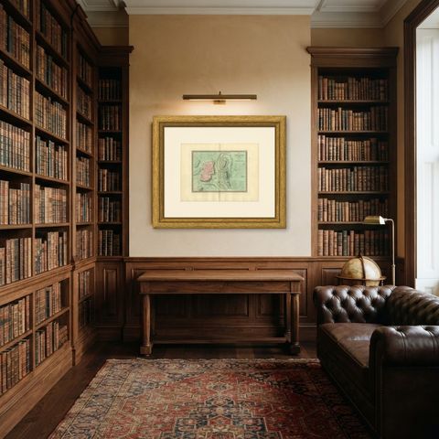
 In the room
Interior designers: BarTrade members buy at their trade price. How it works
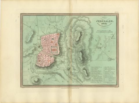
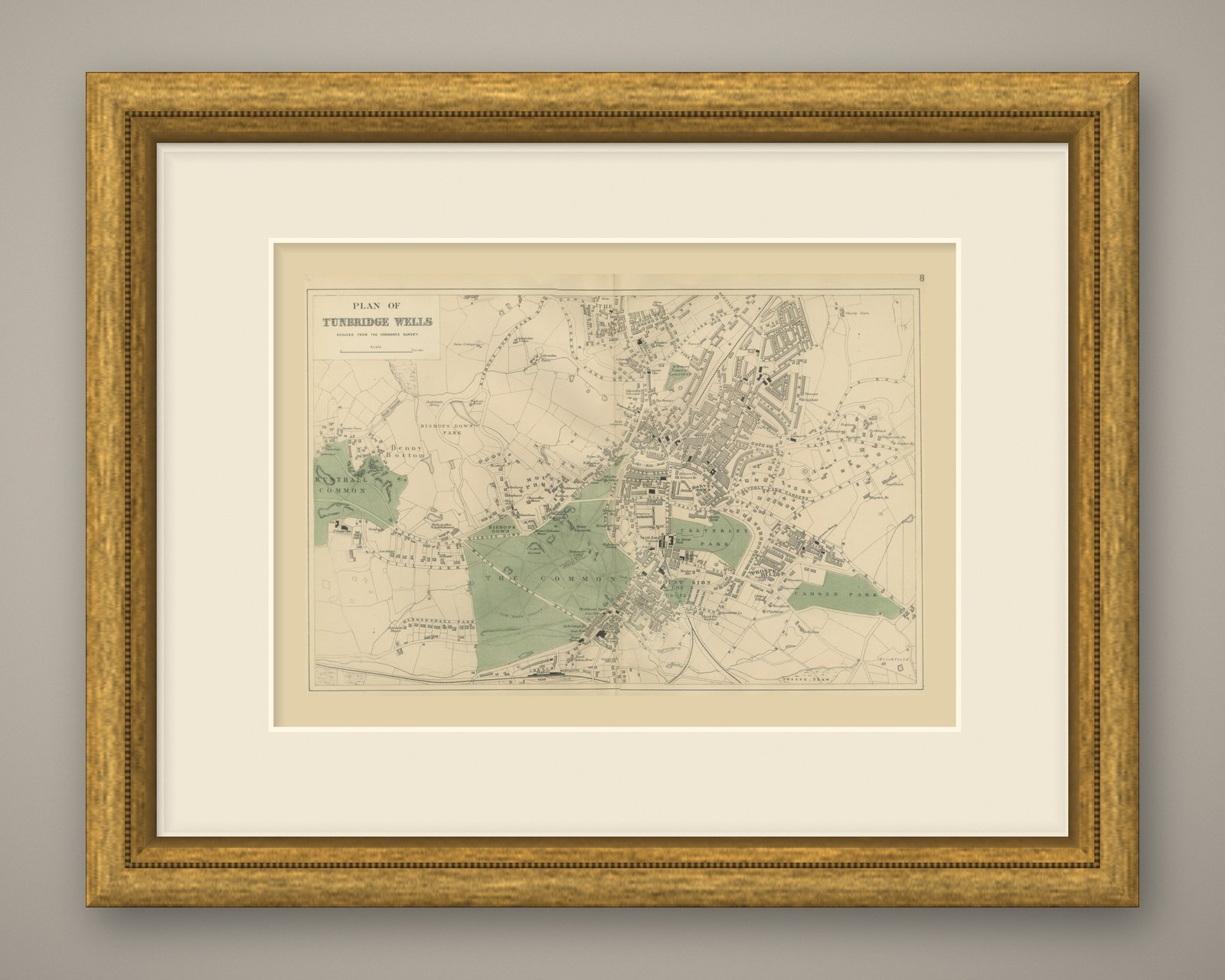
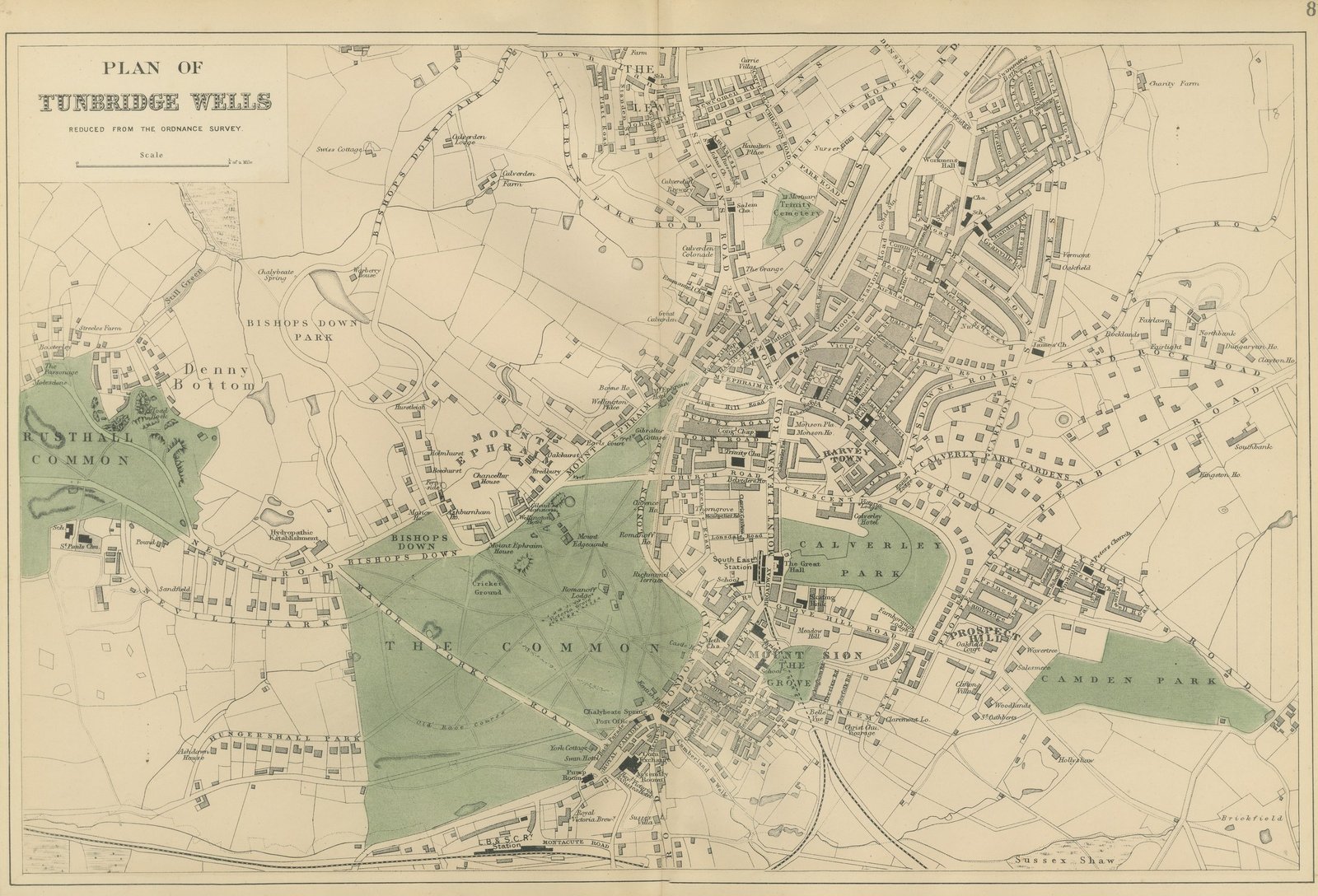
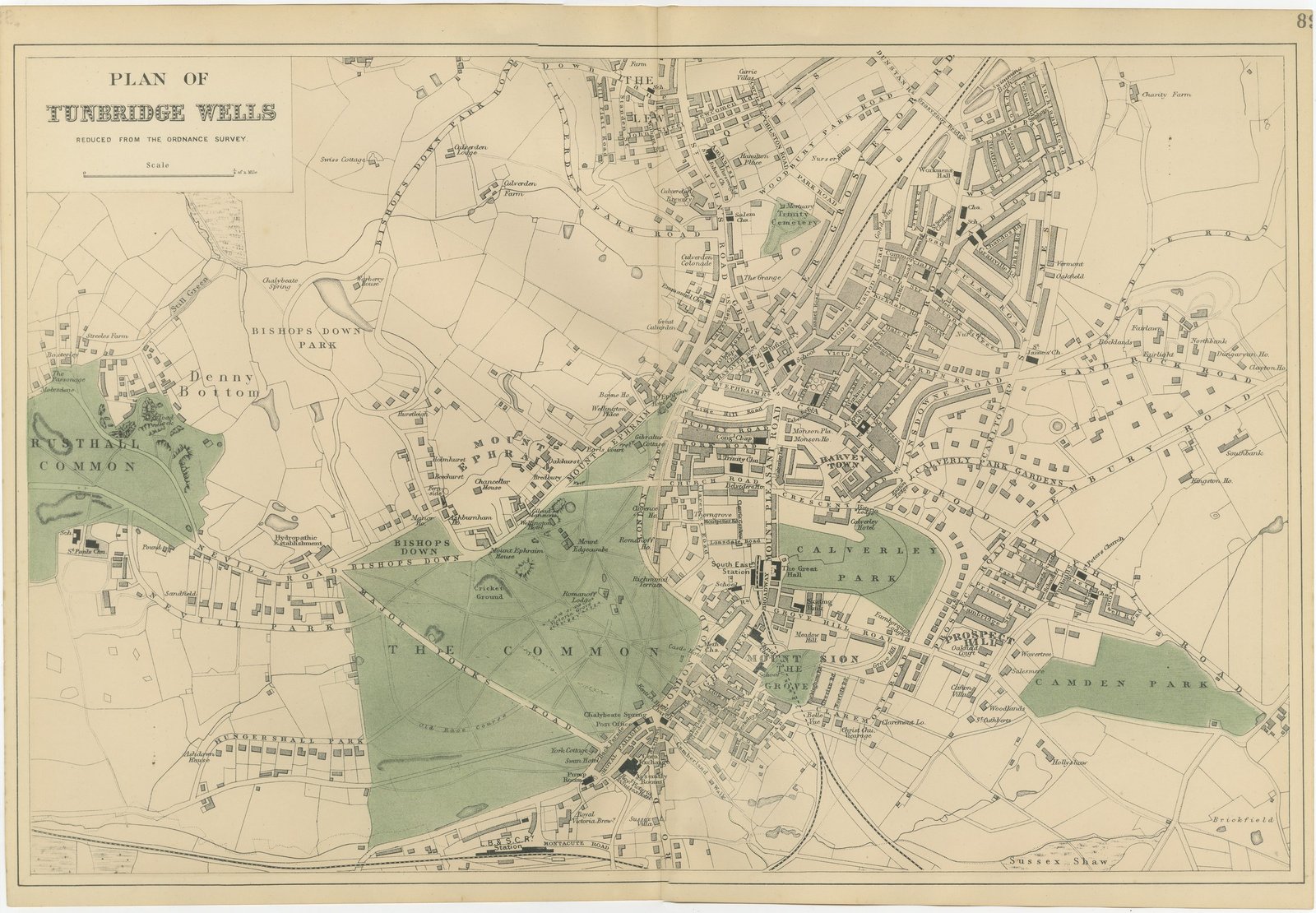
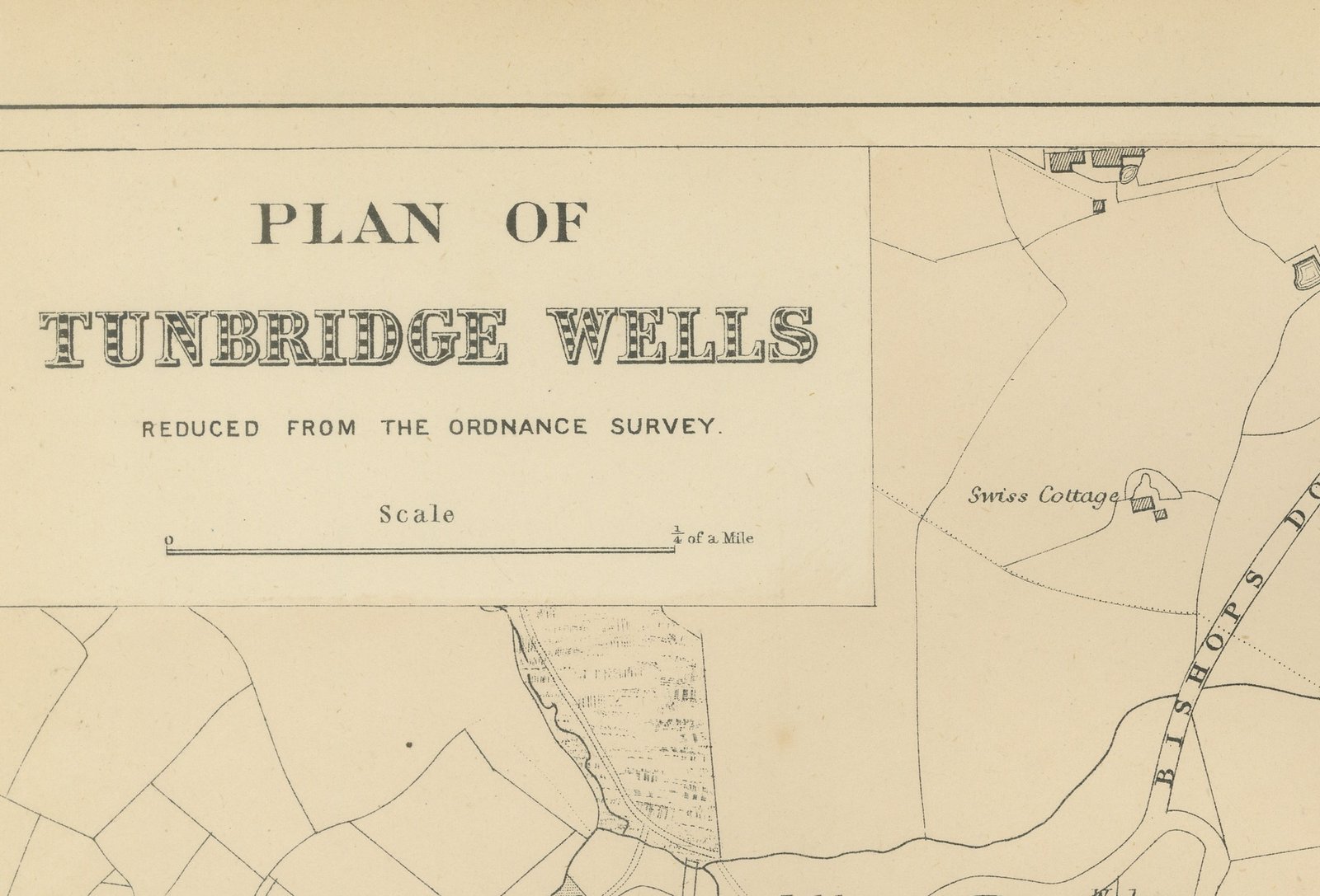
This is an original antique town plan of Tunbridge Wells, printed by lithography with original hand coloring and dated 1885 by the atlas it comes from. The title panel at the upper left reads "PLAN OF" over "TUNBRIDGE WELLS", followed by "REDUCED FROM THE ORDNANCE SURVEY." and a scale bar to "1/4 of a Mile".
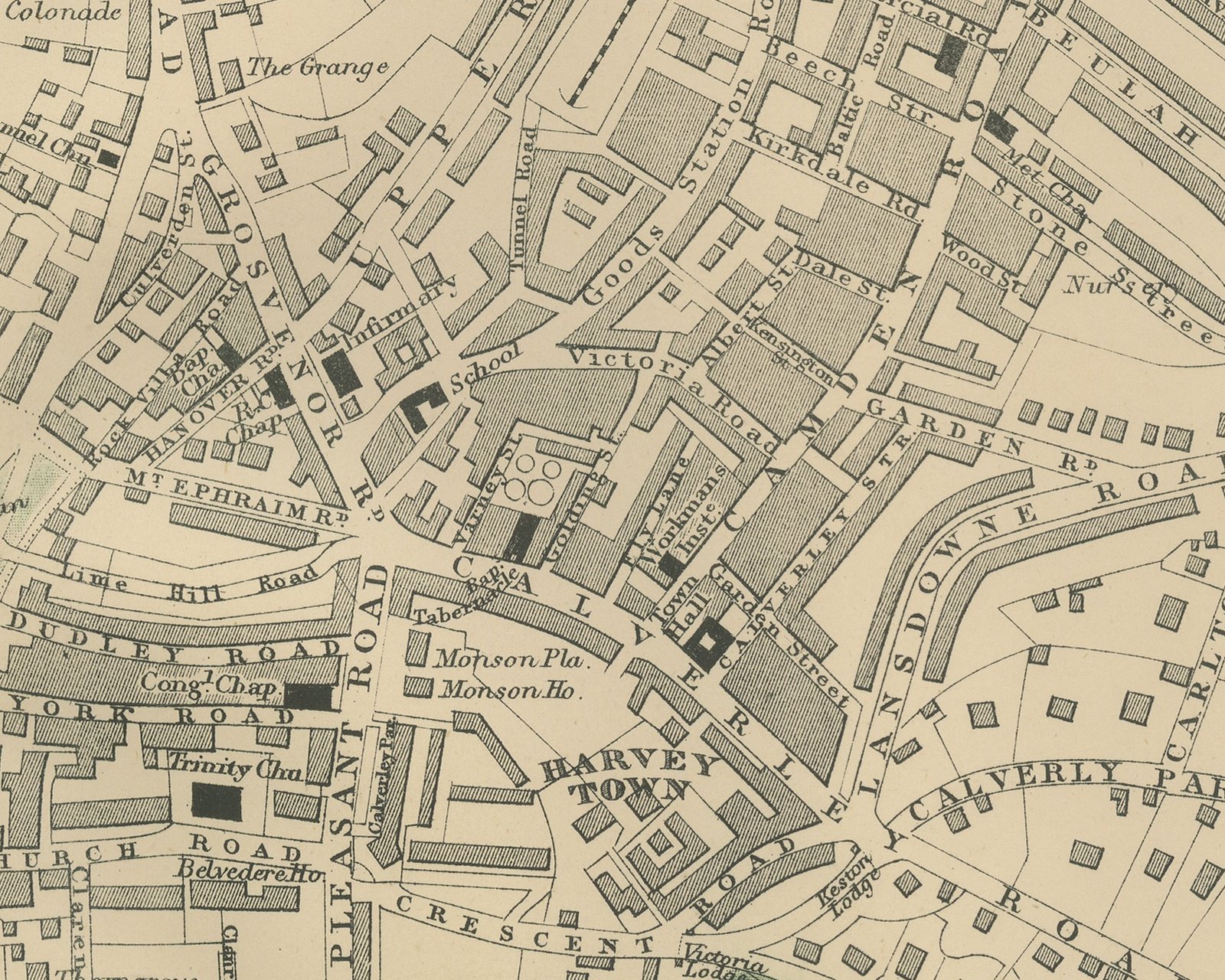
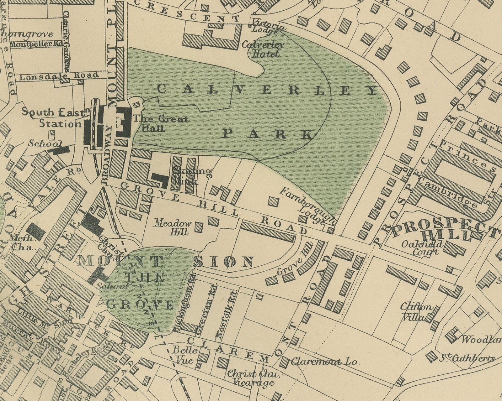
The plan is drawn at a far larger scale than the county maps, with individual houses, terraces and gardens shown. The open ground is washed by hand in green: Rusthall Common at the left, the large tract lettered "THE COMMON" in the lower middle with the Old Race Course and the Cricket Ground, Bishops Down, Calverley Park in the center, and Camden Park on the right. Mount Ephraim runs above the Common, and at its lower edge the Royal Parade is drawn with the Pump Room, the Chalybeate Spring and the Swan Hotel. The streets of the town spread north and east across the right half of the sheet past Mount Pleasant, Grosvenor Road, Mount Sion and Prospect Hill, with churches, chapels, schools and the Great Hall marked. The railway runs north to south through the town past the South East Station, and the L.B.&S.C. Railway station sits below the Common at the foot.
No maker's name is lettered on this sheet, and it carries no grid. A sheet number at the upper right is cut by the trimmed edge.
It comes from The New Large Scale Ordnance Atlas of the British Isles, published in London by G. W. Bacon and Co., and is dated 1885 by the volume it was taken from; no date is printed on the sheet itself. Edward Weller (1819 to 1884) was a London map engraver and draftsman and a Fellow of the Royal Geographical Society.
Vertical fold down the center from binding. Even age toning. Handling soiling along the top edge. Slight wear at the bottom left and top right corners. Minor edge wear, shallow nicks along the bottom.
This is an original antique map, not a modern reproduction. This item is sold unframed.