 The sheet, as you receive it
 In the room
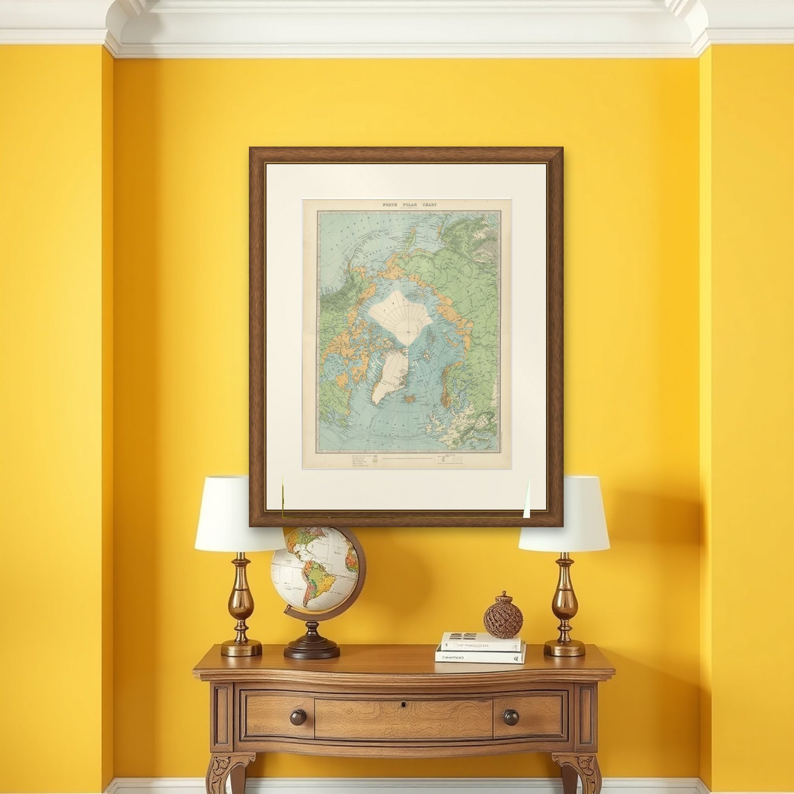
Interior designers: BarTrade members buy at their trade price. How it works
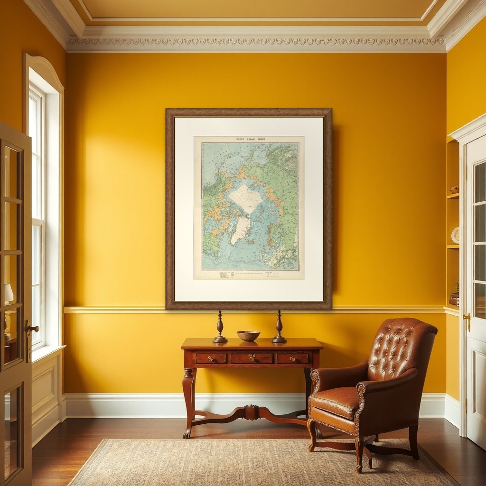
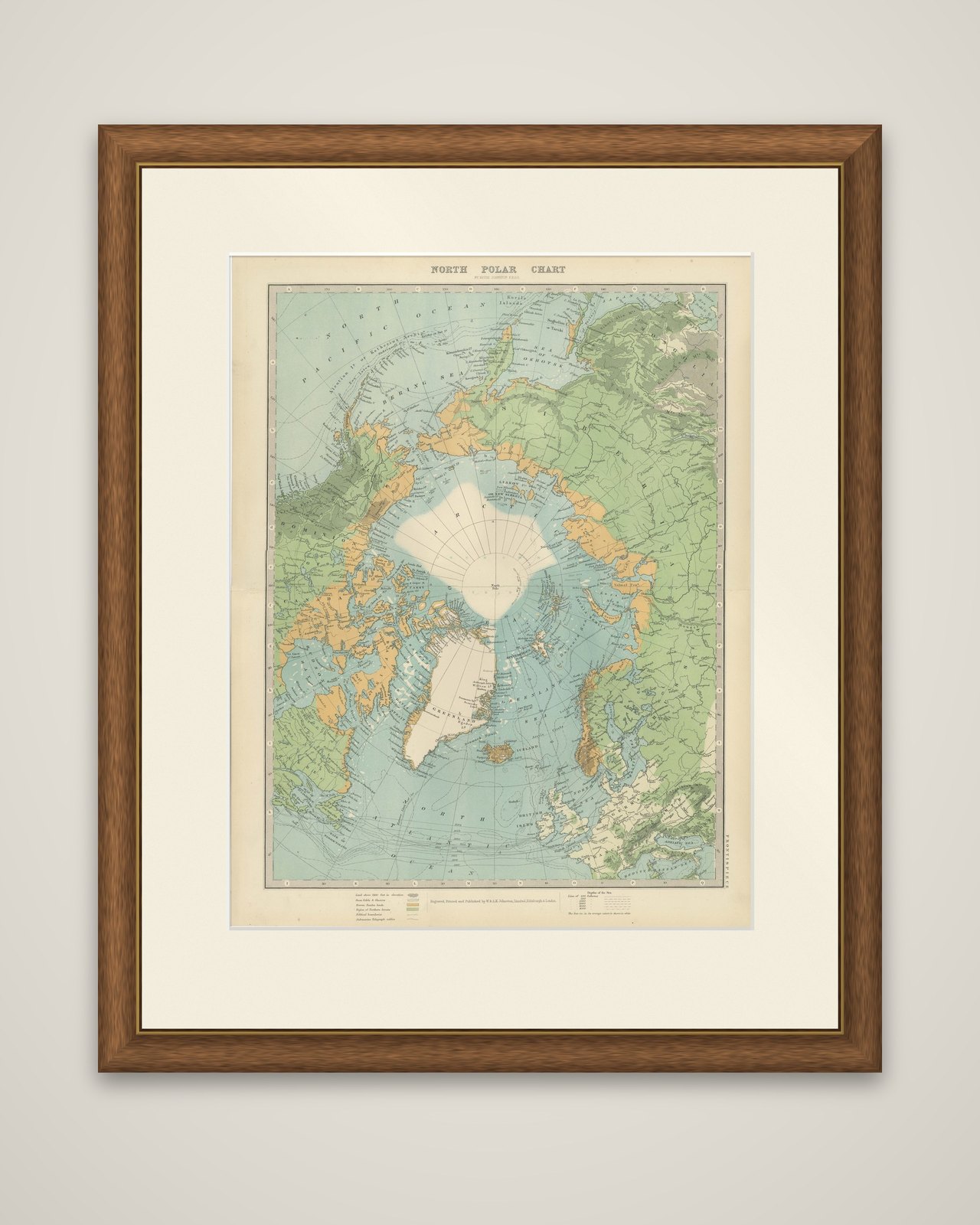
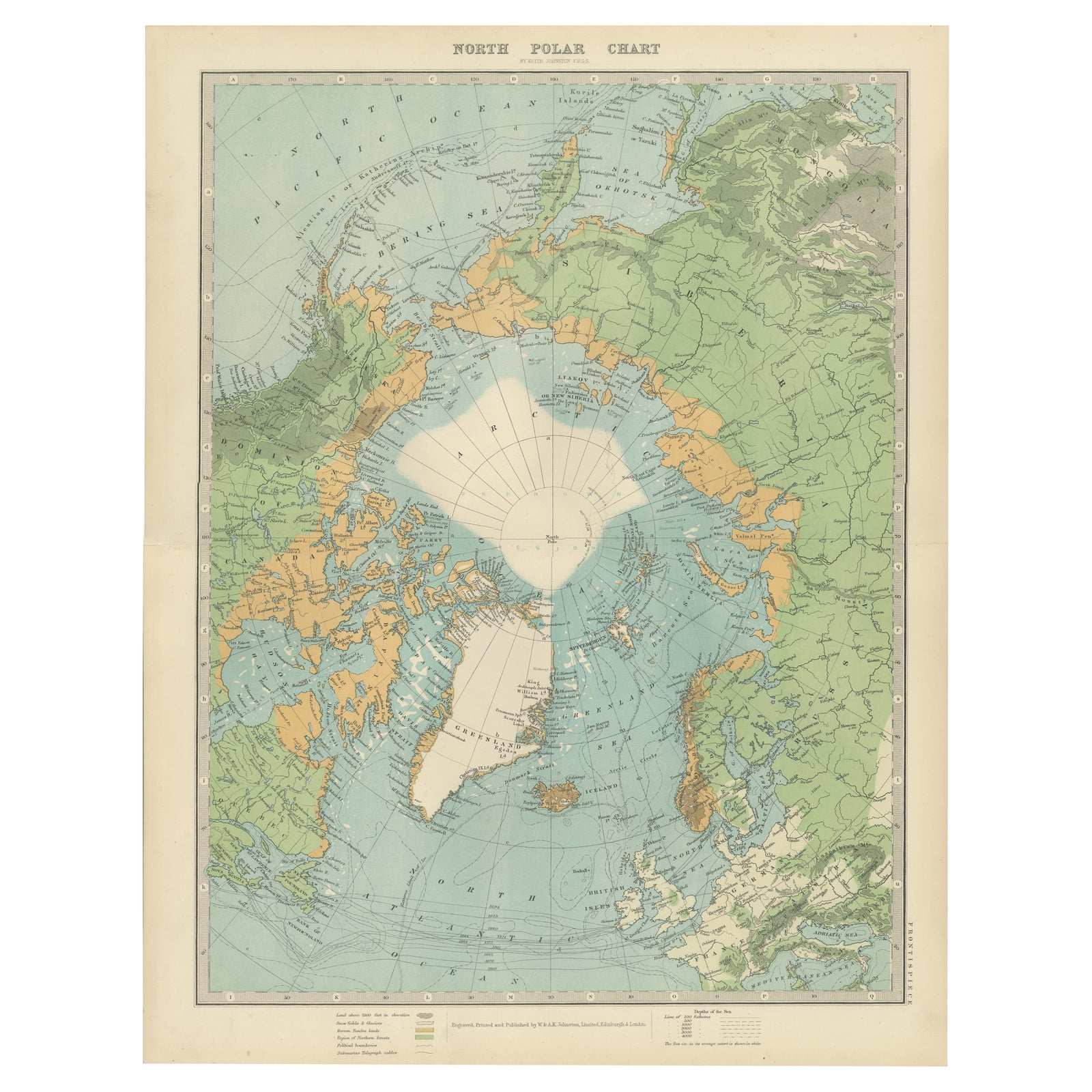
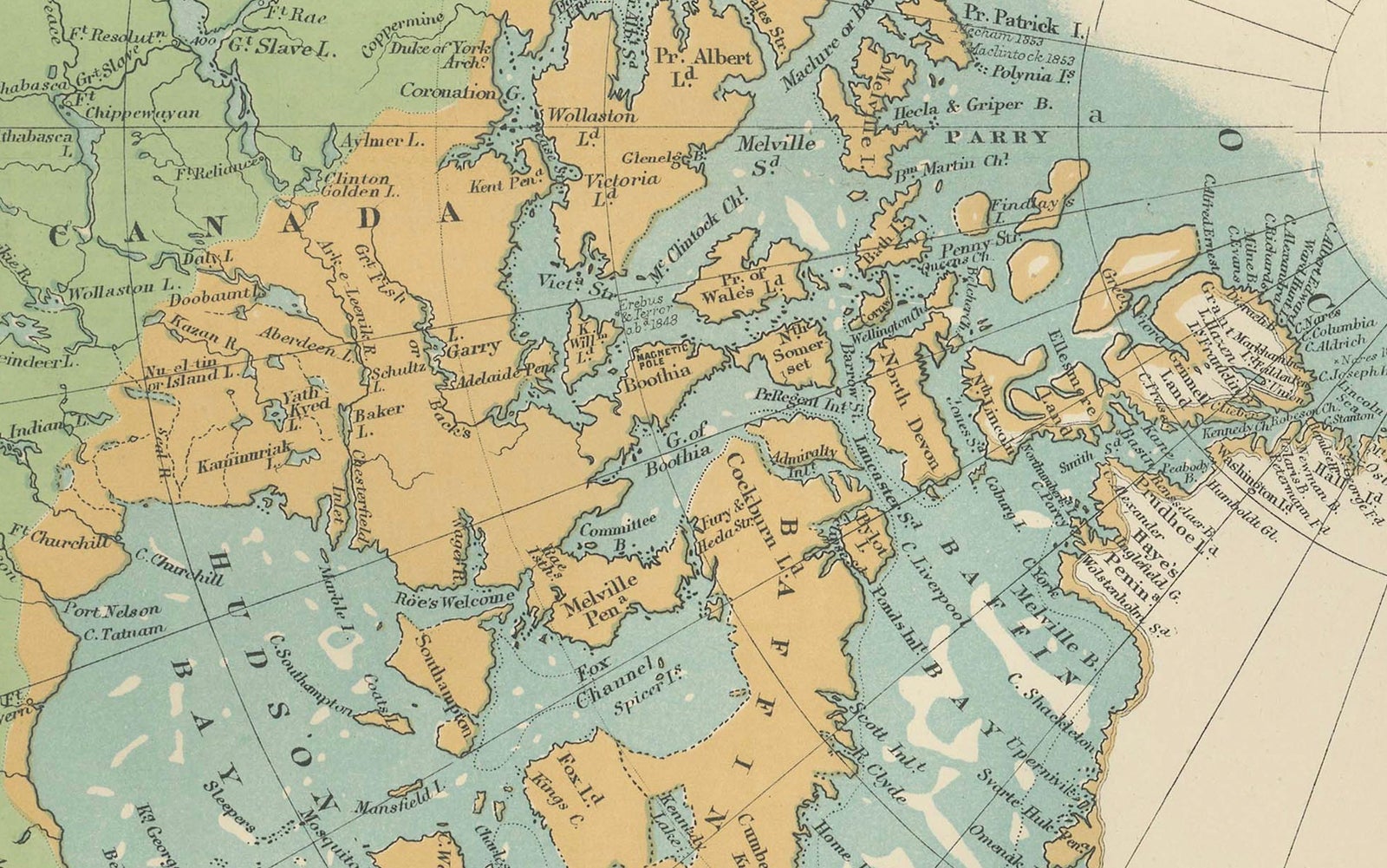
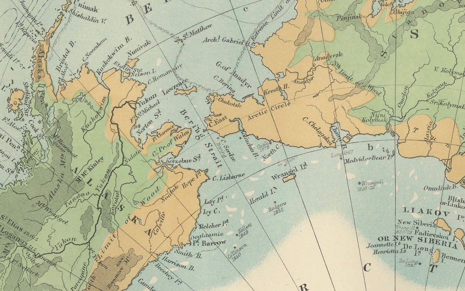
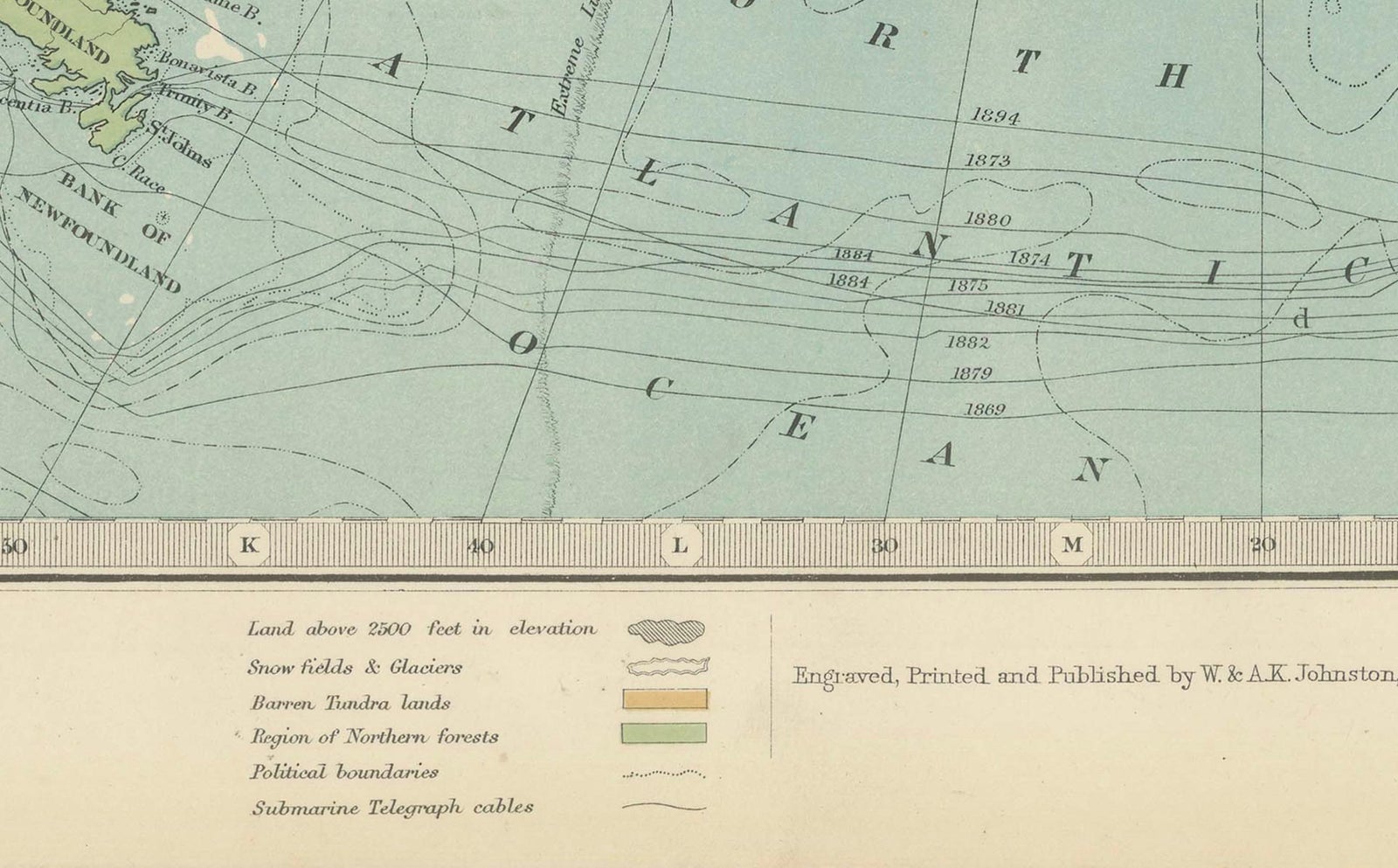
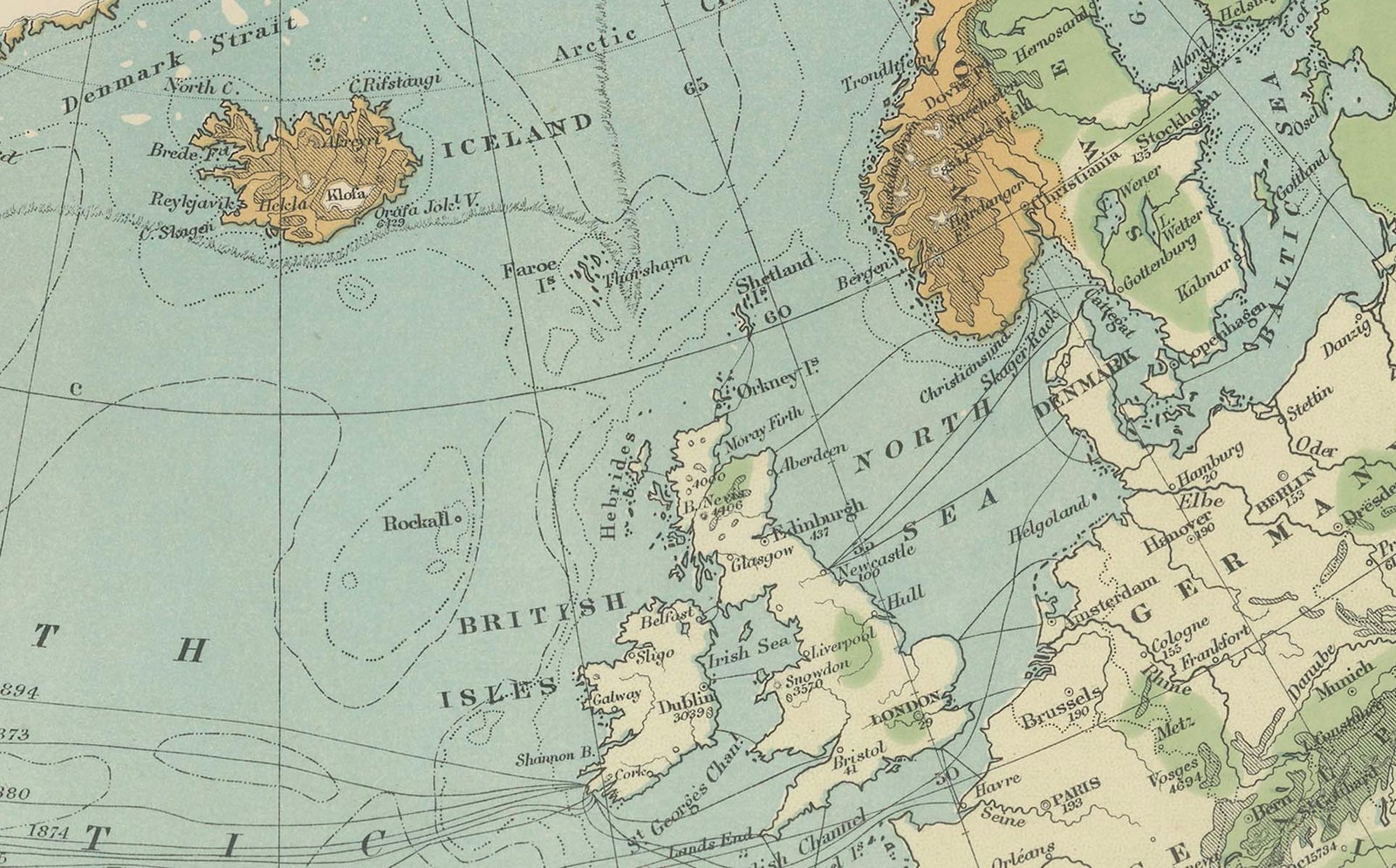
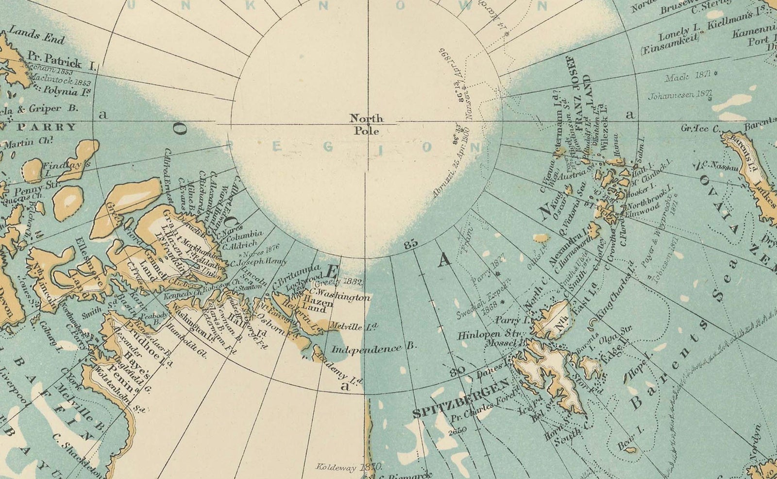
North Polar Chart, a color-printed map of the Arctic regions centered on the pole, published in 1903 by W. & A.K. Johnston of Edinburgh and London (the imprint reads "Engraved, Printed and Published by W. & A.K. Johnston, Limited, Edinburgh & London"). The title is set at the top of the sheet and the work is credited to Keith Johnston.
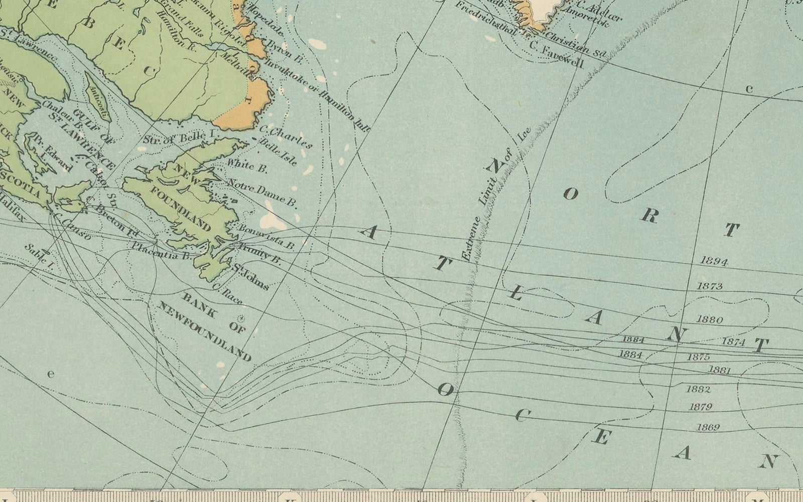
The projection looks down on the pole, with the unexplored ice cap left blank in white at the center and Greenland pale below it. Land is tinted in green and ochre to separate lowland from higher ground, and the Arctic Ocean is shown in blue. North America fills the left side of the chart, with the Canadian Arctic archipelago broken into islands and channels, while Alaska, the Bering Sea and the Pacific edge sit at upper left. Siberia and the Russian Arctic coast occupy the right, with Scandinavia and the British Isles at the foot beside the North Atlantic. A legend of symbols in the lower left corner and a key to the depths of the sea at lower right explain the tints and soundings.
The chart dates from the years just after the great Arctic expeditions and before the poles were reached, when the shape of the northern ocean was still being filled in.