 The sheet, as you receive it
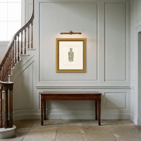
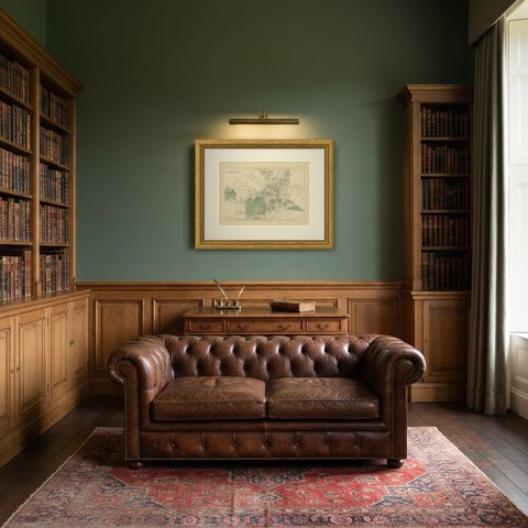
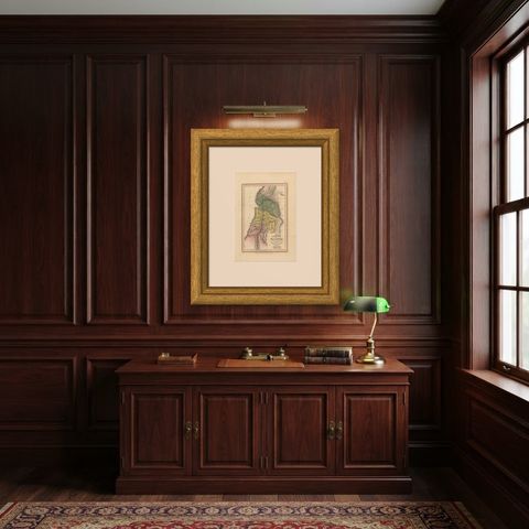
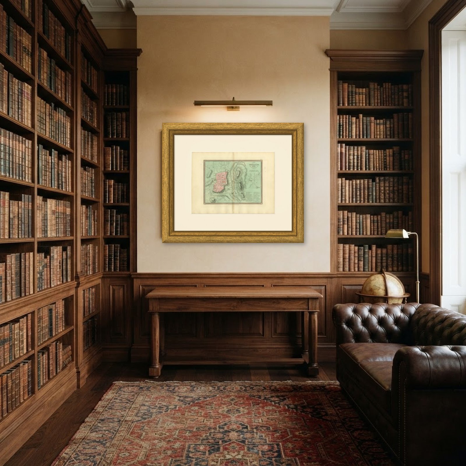 In the room
Interior designers: BarTrade members buy at their trade price. How it works
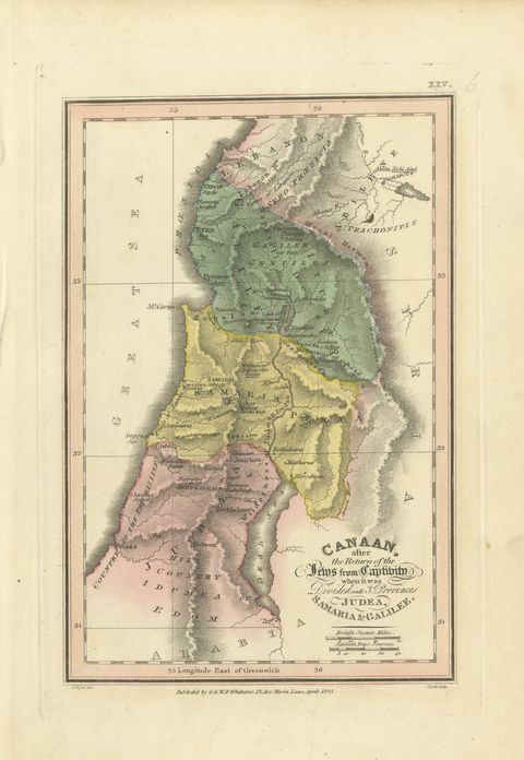
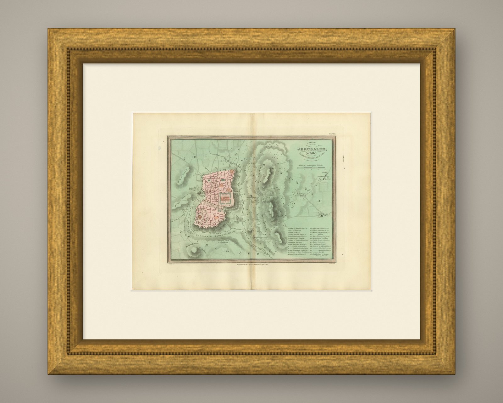
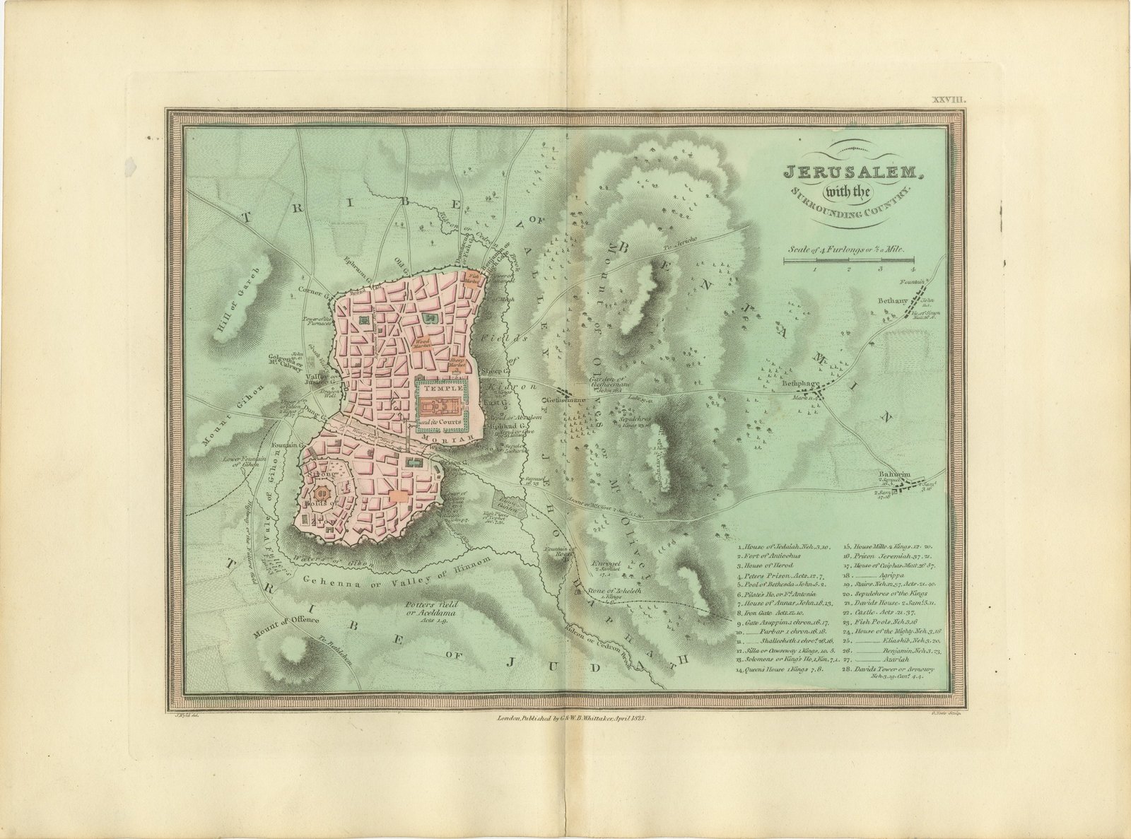
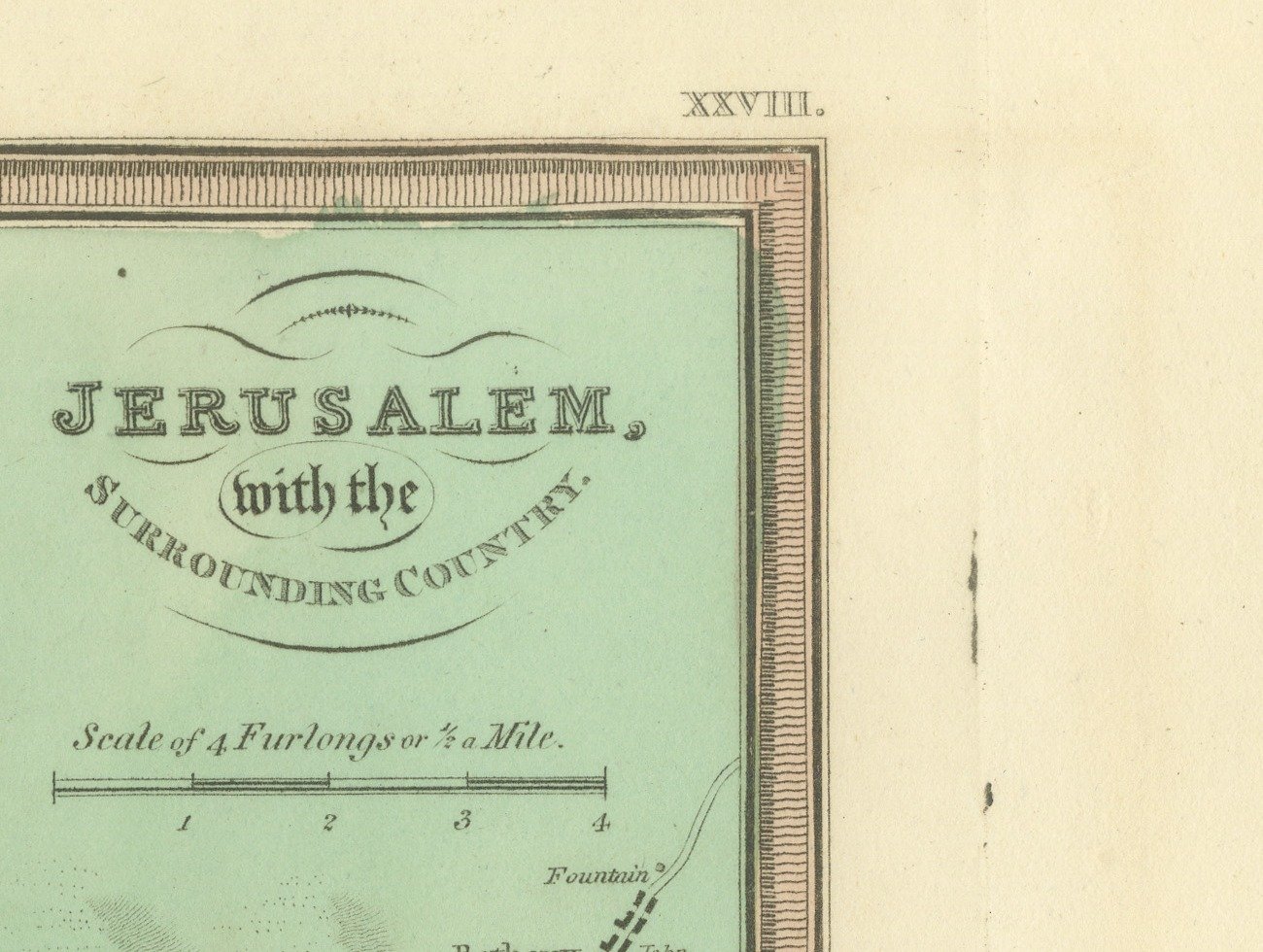
This is an original antique copper engraved map with original hand coloring, published in 1823 as plate XXVIII of James Wyld's Geographia Sacra, or Scripture Atlas. The engraved title reads "JERUSALEM, with the SURROUNDING COUNTRY." The title is engraved at the upper right of the map, above a "Scale of 4 Furlongs or 1/2 a Mile".
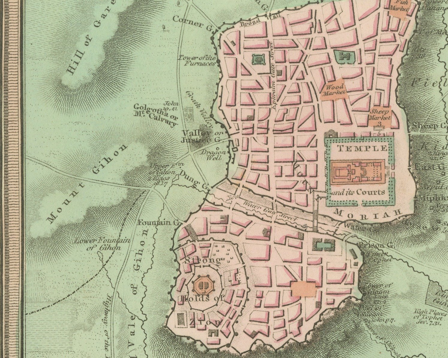
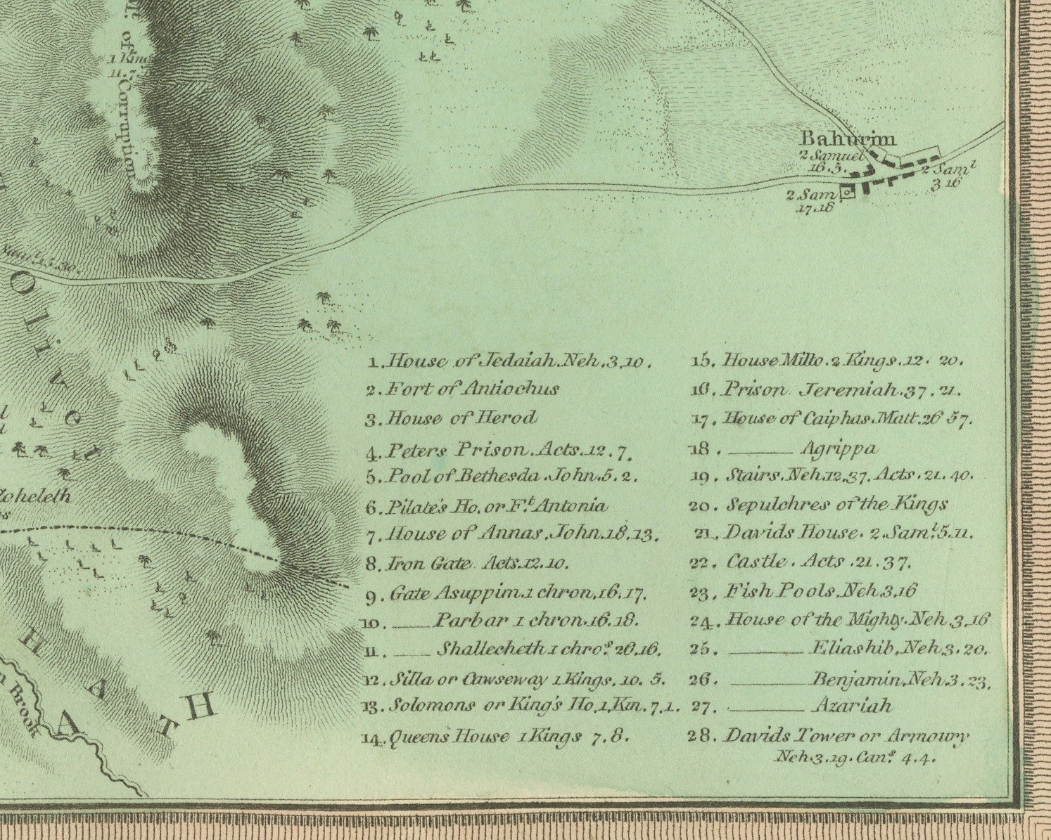
The walled city is drawn as a plan at the left, its streets and blocks washed in pink, with the Temple and its courts on Mount Moriah on the east side of the city and the gates named around the walls. The surrounding ground is washed in pale green and drawn in hachure: the Valley of Jehoshaphat runs down the east side of the city, the Mount of Olives with Gethsemane rises beyond it, and Bethphage, Bethany and Bahurim are marked to the east. To the south the lettering names Gehenna or the Valley of Hinnom, the Potters Field or Aceldama and the Mount of Offence, and Mount Gihon and the Hill of Gareb lie to the west. The tribes of Benjamin and Judah are lettered across the country, and a numbered key of twenty eight buildings with scripture references fills the lower right.
Below the lower border the credit J. Wyld del. is engraved at the left and G. Neele Sculp. at the right, with the imprint between them: "London, Published by G & W. B. Whittaker, April 1823." The plate number is engraved as XXVIII. in the upper right.
The atlas was published by G. and W. B. Whittaker in London, and its engraved title page names Wyld as "of the Quarter Master General's Office, Horse Guards". James Wyld the elder (1790 to 1836) was a London geographer and map publisher.
Light uneven toning, browner toward the edges. Marked handling soiling along all four edges. Foxing over much of the margin. All four corners are present. Folding plate, original center fold as issued.
This is an original antique map, not a modern reproduction. This item is sold unframed.