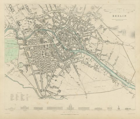
 The sheet, as you receive it
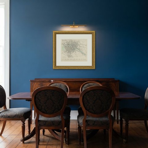
 In the room
Interior designers: BarTrade members buy at their trade price. How it works
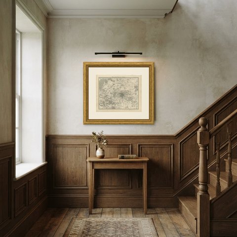
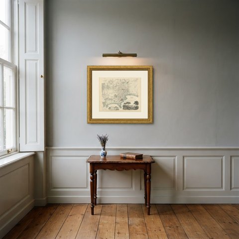
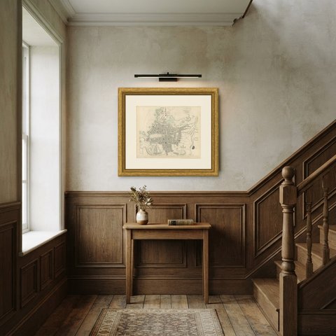
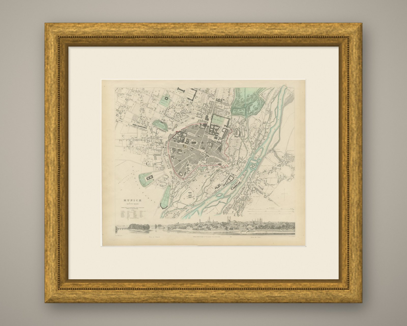
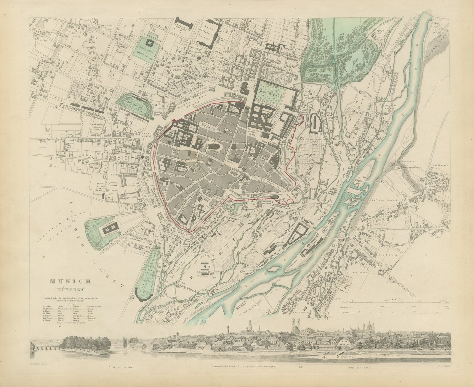
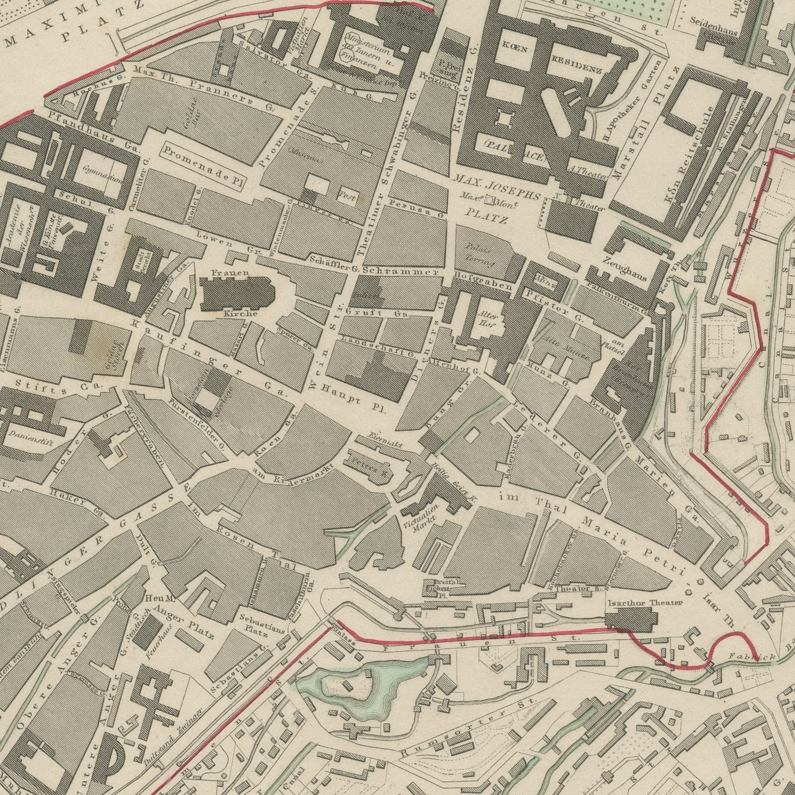
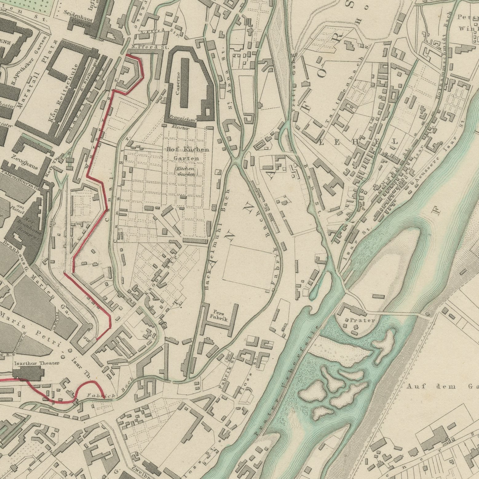
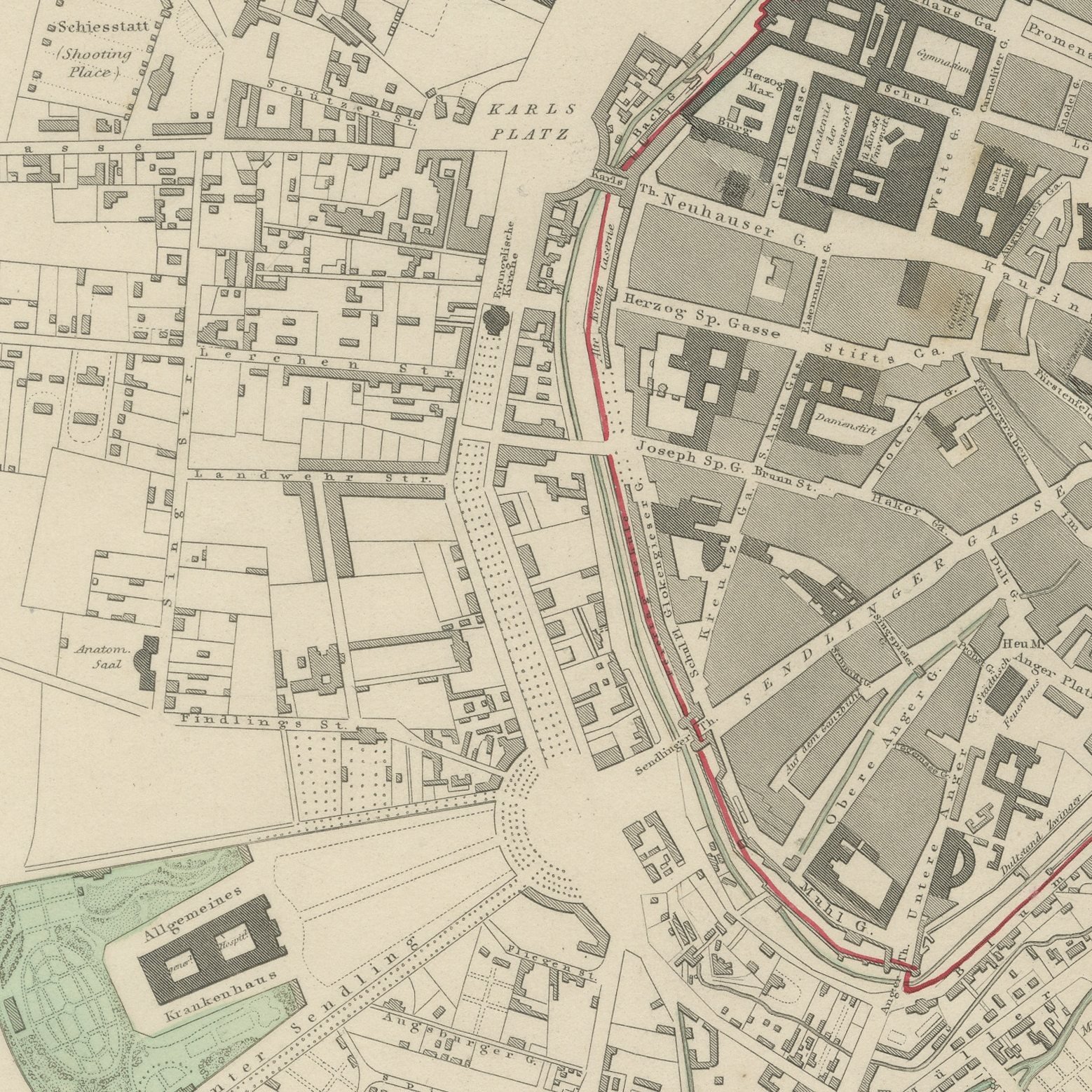
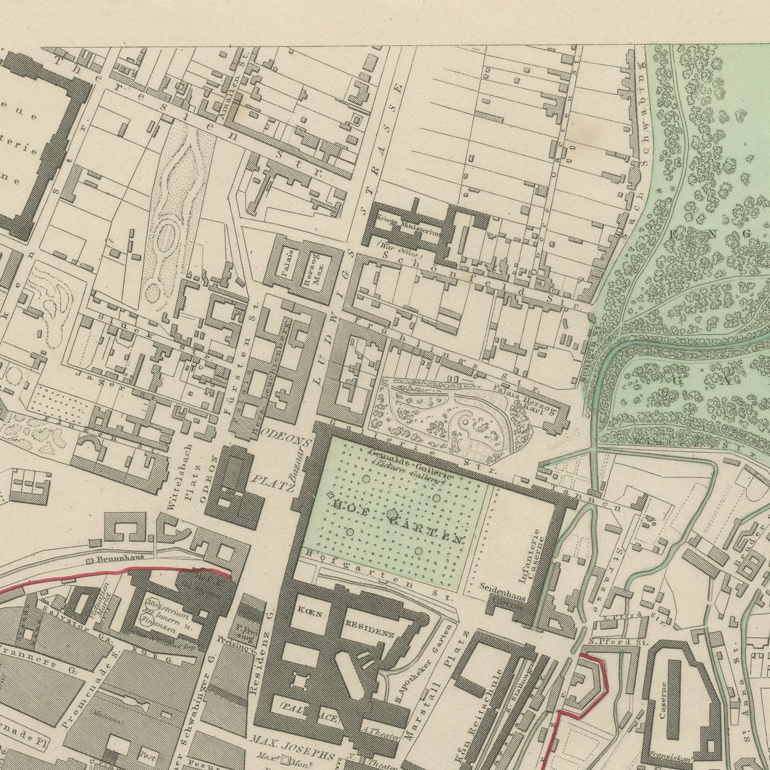
This is an original antique city plan of Munich, steel engraved and published in the atlas of the Society for the Diffusion of Useful Knowledge. The plan shows the old town inside the line of its demolished walls with the new Ludwigstrasse and the Maxvorstadt laid out to the north, the Englischer Garten along the Isar and the Residenz and the Hofgarten at the center. A panorama of Munich from the east runs along the foot of the sheet, and the drawing carries the date of the first of December 1832. The outline and water coloring is original hand color, applied by the publisher before the sheet was bound into the volume.
This is plate number 192 from the third volume of the atlas of the Society for the Diffusion of Useful Knowledge, Plans of Cities, Stars and Index to Places, issued in London by Charles Knight in 1847. The Society's city plans were drawn from the best local surveys the editors could obtain and were corrected for each new edition, which is why they are still used as evidence of what a city looked like. The plate is lettered as drawn by W. B. Clarke.
Munich was being rebuilt as a royal capital of marble and stucco by Ludwig the First exactly when this plan was drawn, and the great avenues on it were then brand new. That makes the sheet a record of a deliberate act of city making rather than of slow growth. Framed simply in dark wood or a plain gilt frame it suits a study, a hallway or a dining room, and it is a natural gift for anyone with a tie to the place.
Light uneven toning, browner toward the edges. Handling soiling along the bottom and left edges. A few small foxing spots in the margin. All four corners complete.
This is an original antique map, not a modern reproduction. This item is sold unframed.